Elevation of Brouse Rd, Mifflinburg, PA, USA
Location: United States > Pennsylvania > Union County > Mifflinburg >
Longitude: -77.015524
Latitude: 40.9125167
Elevation: 192m / 630feet
Barometric Pressure: 99KPa
Elevation Map:
Satellite Map:
Related Photos:
Dale's Ridge Trail (2)

Hook Natural Area (Revisited) (2)

Immobility for Sale
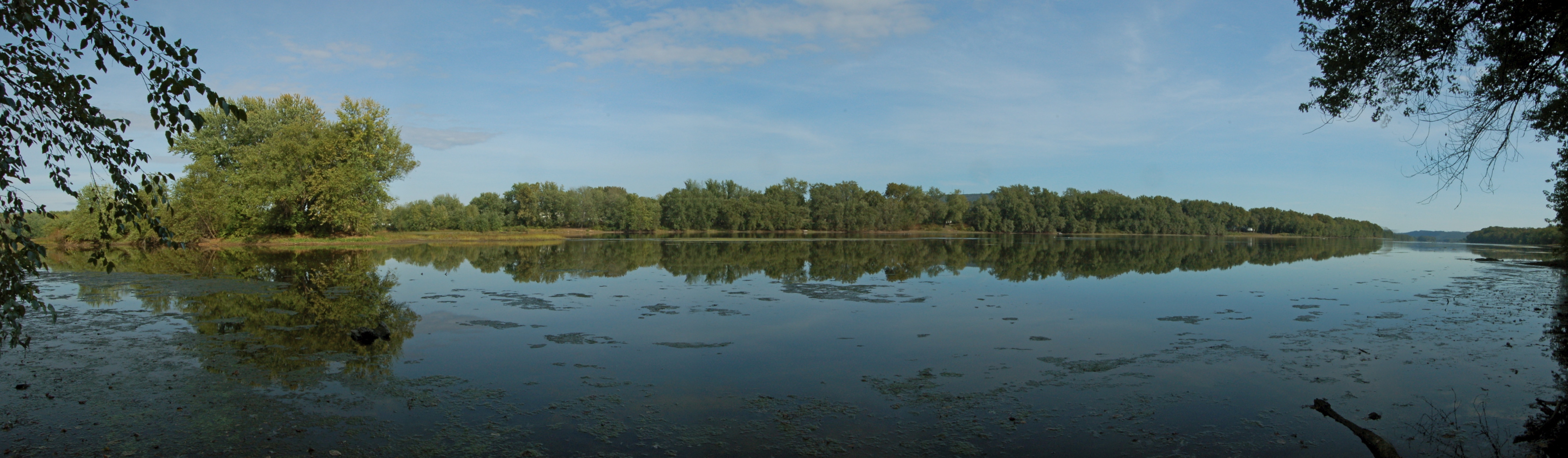
Susquehanna River near Lewisburg, PA

end of another day!!!

Track Long View (8271_crop)
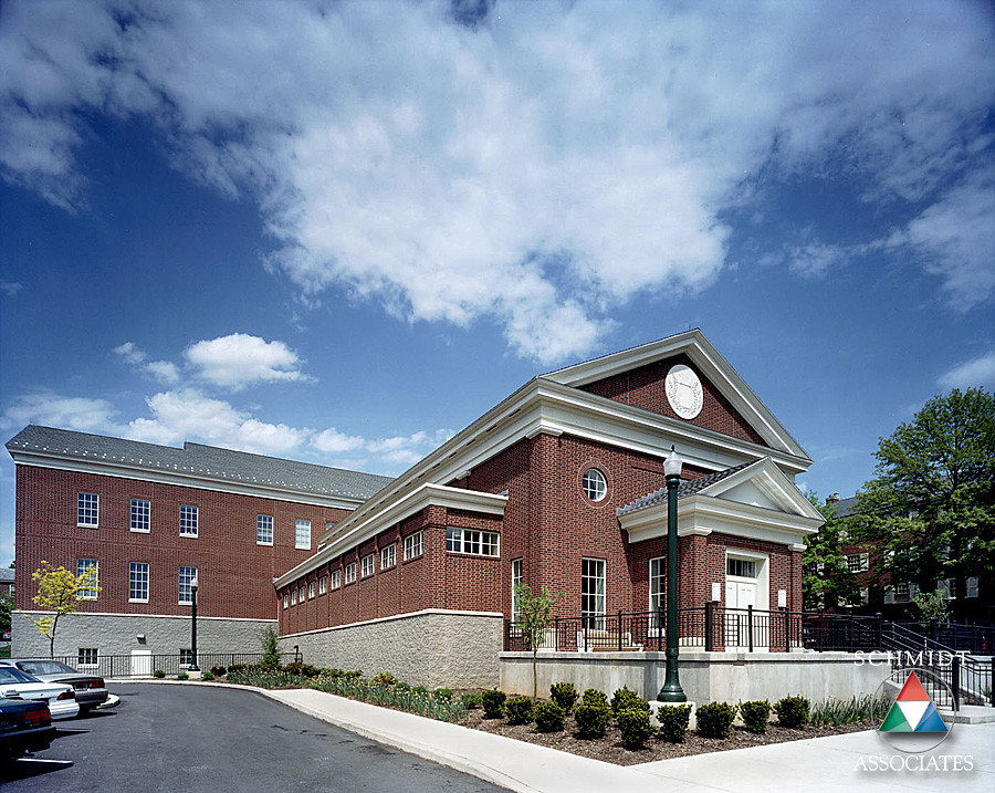
Southside View
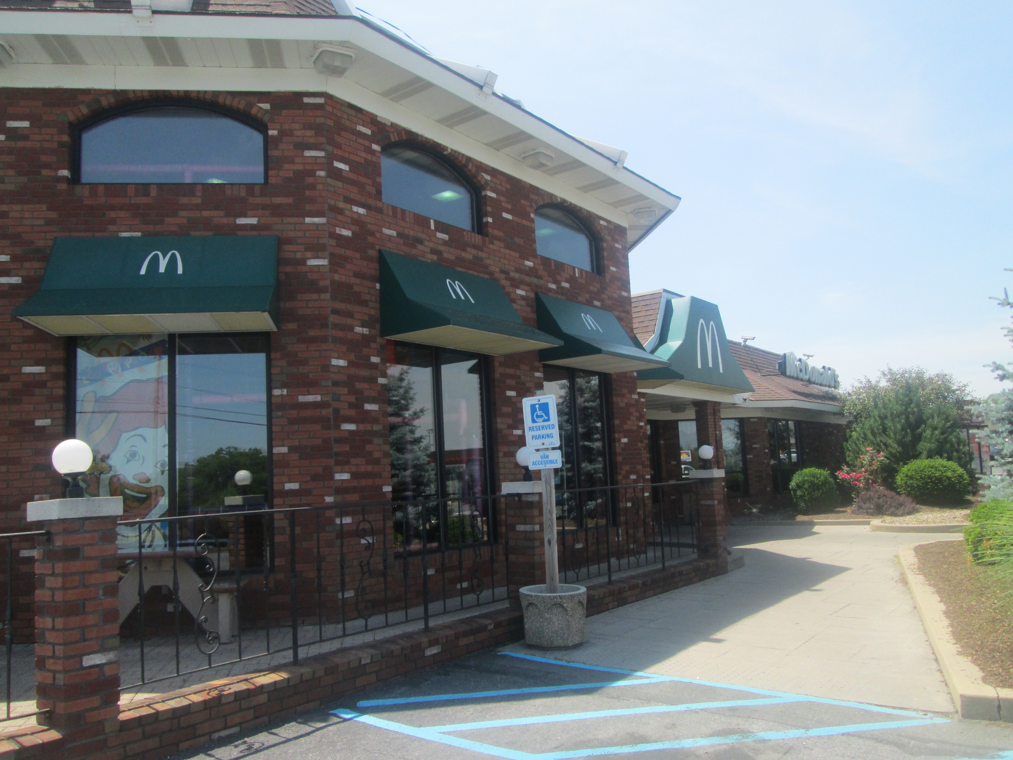
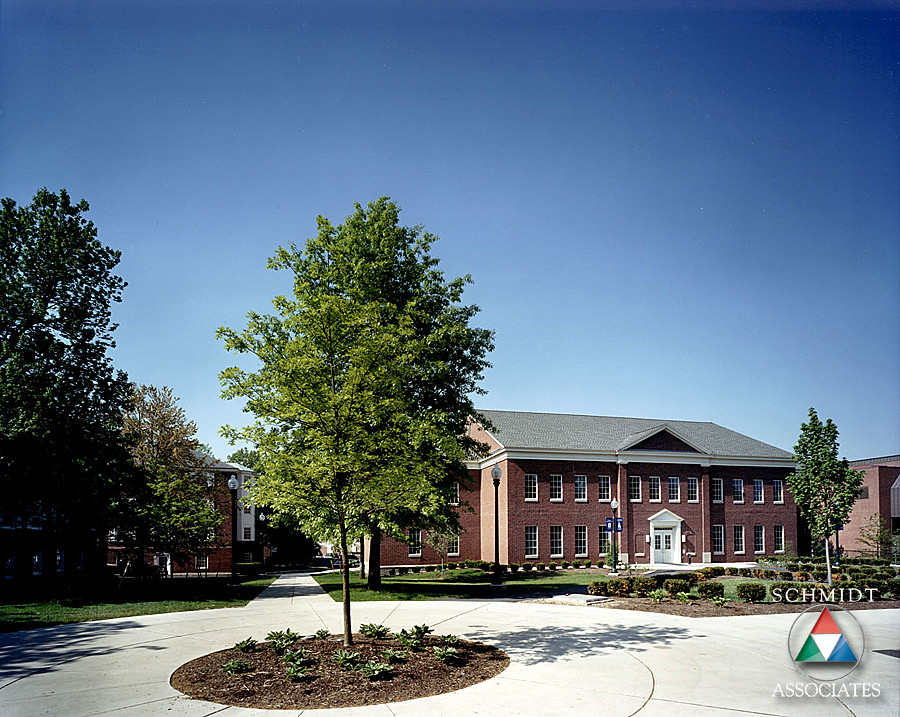
Northside View
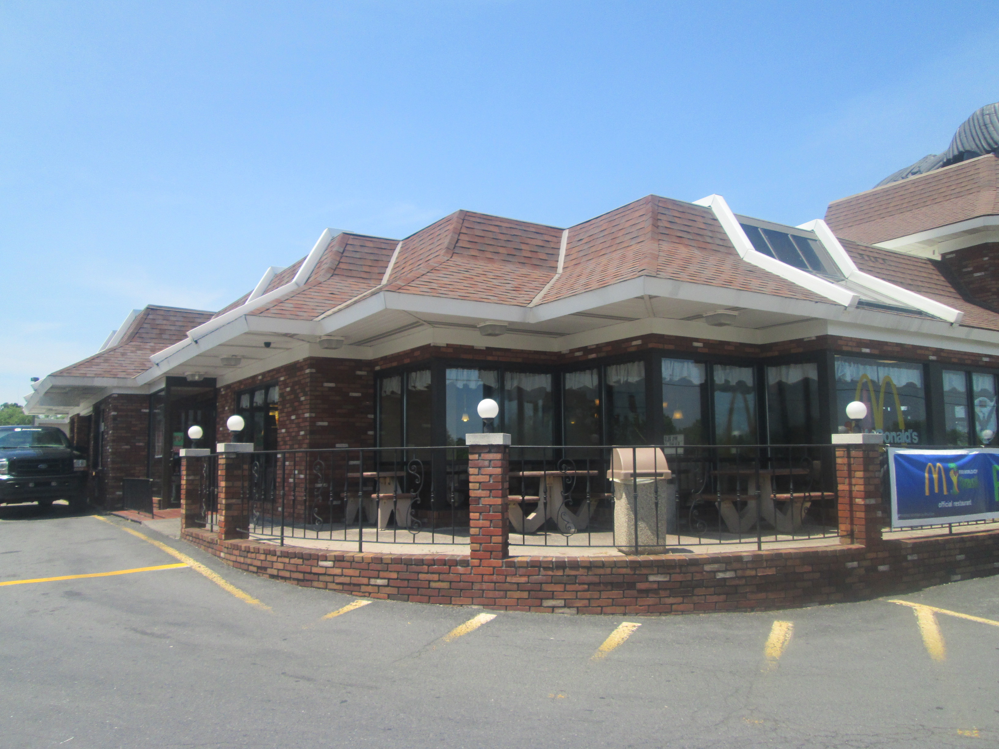
Exterior Side View
Exterior Back View
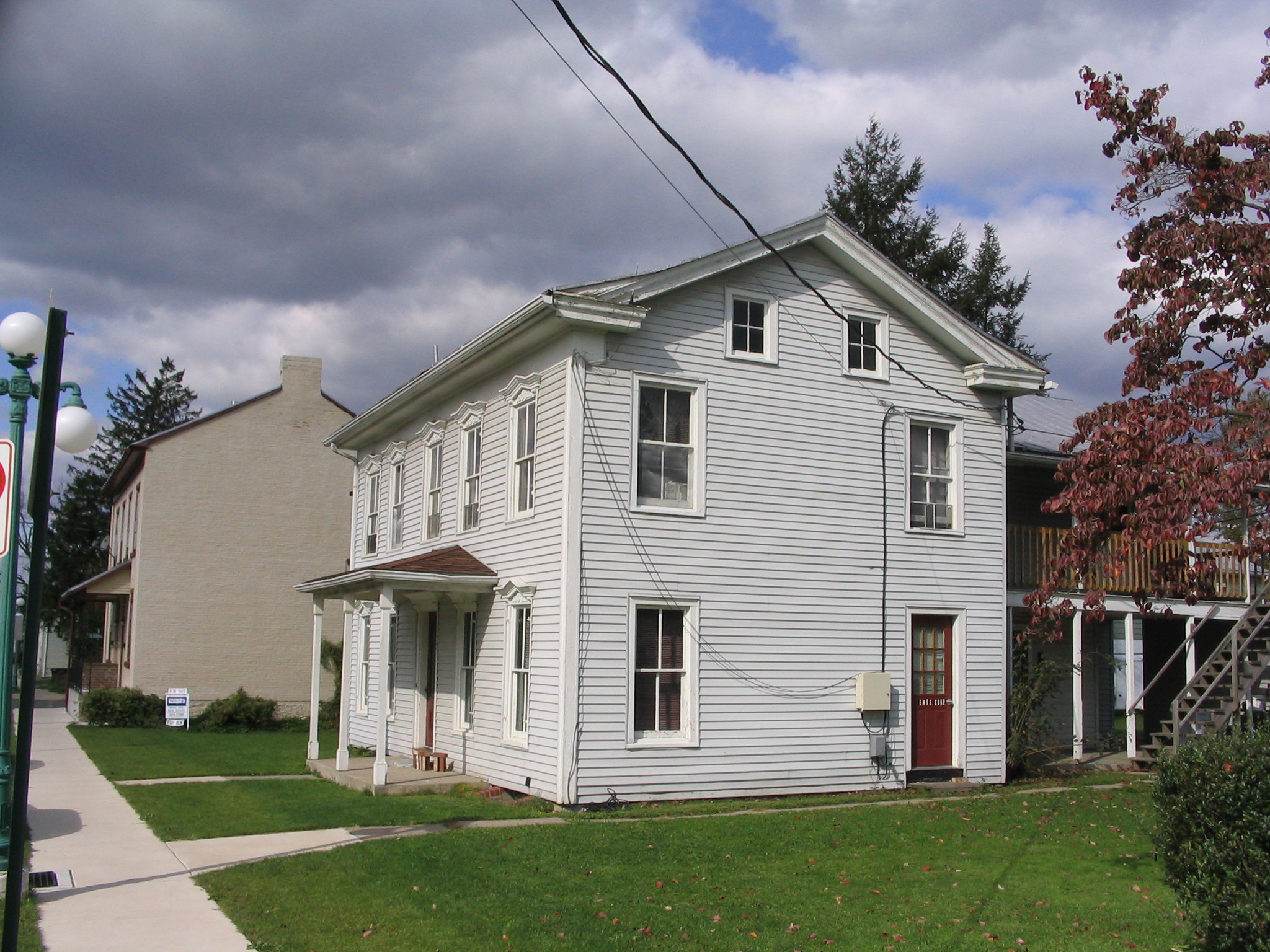
52 N 5th St
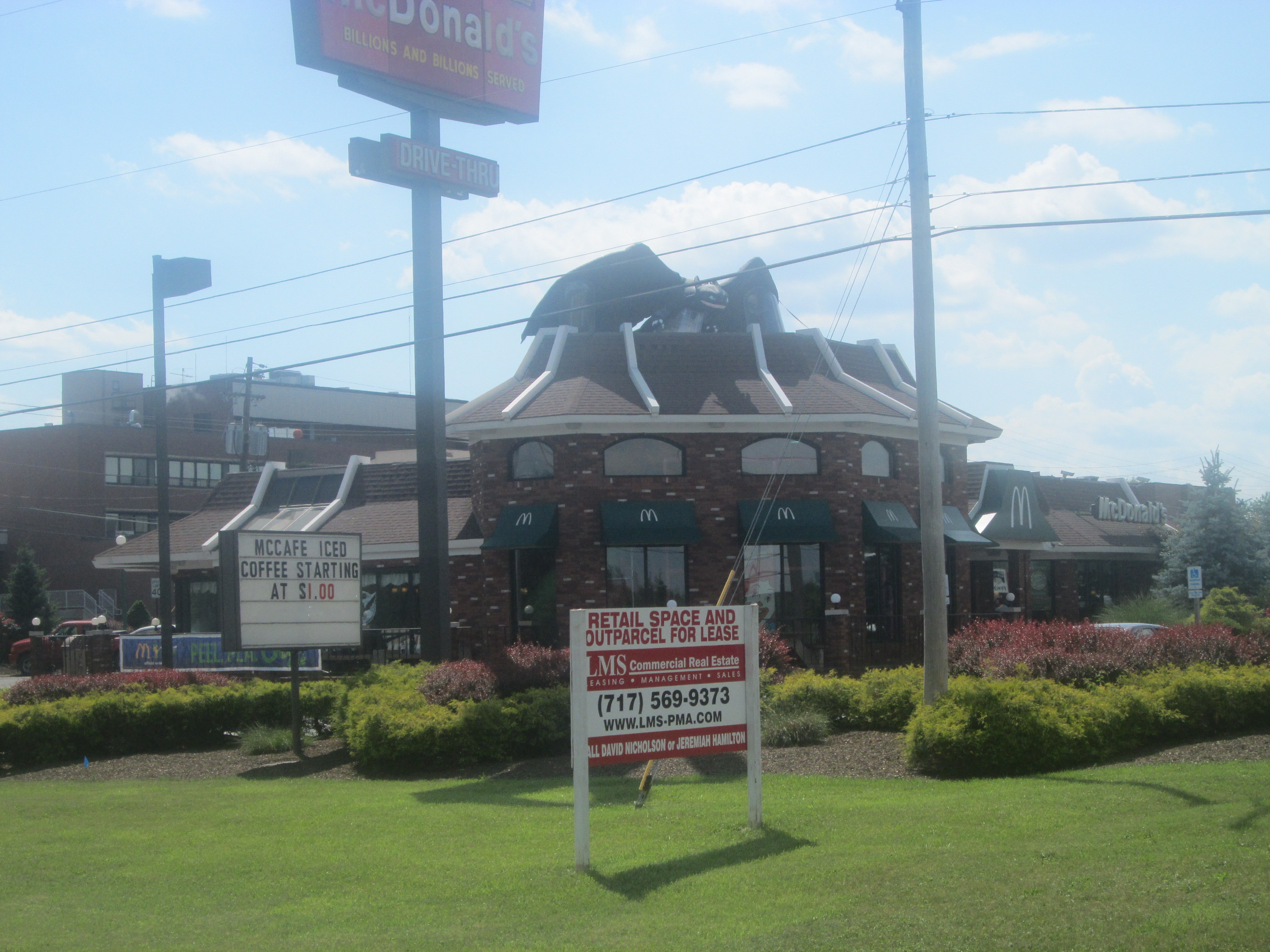
Lewisburg McDonald's (US 15 Road View)
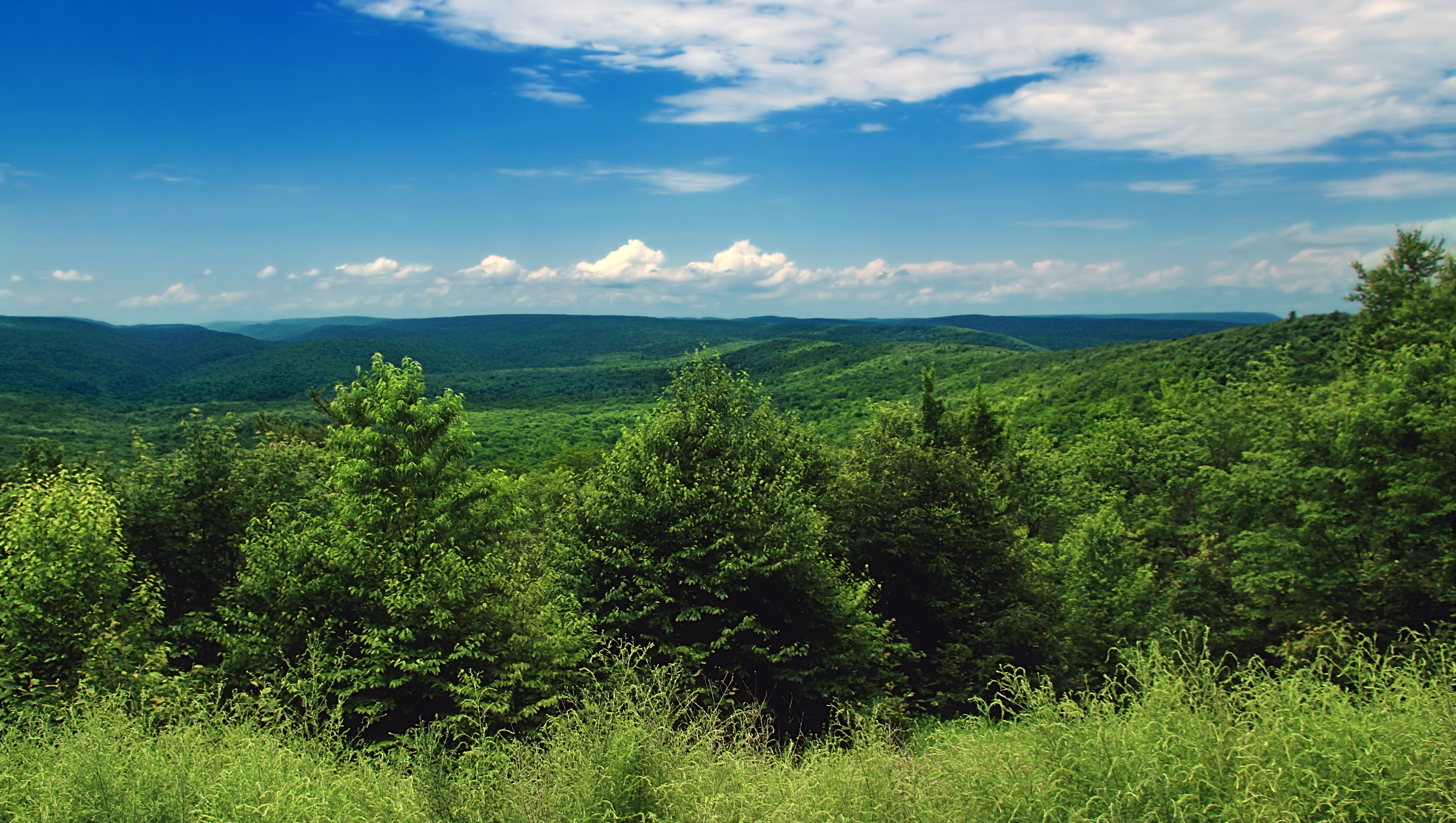
Top Mountain Trail (18)
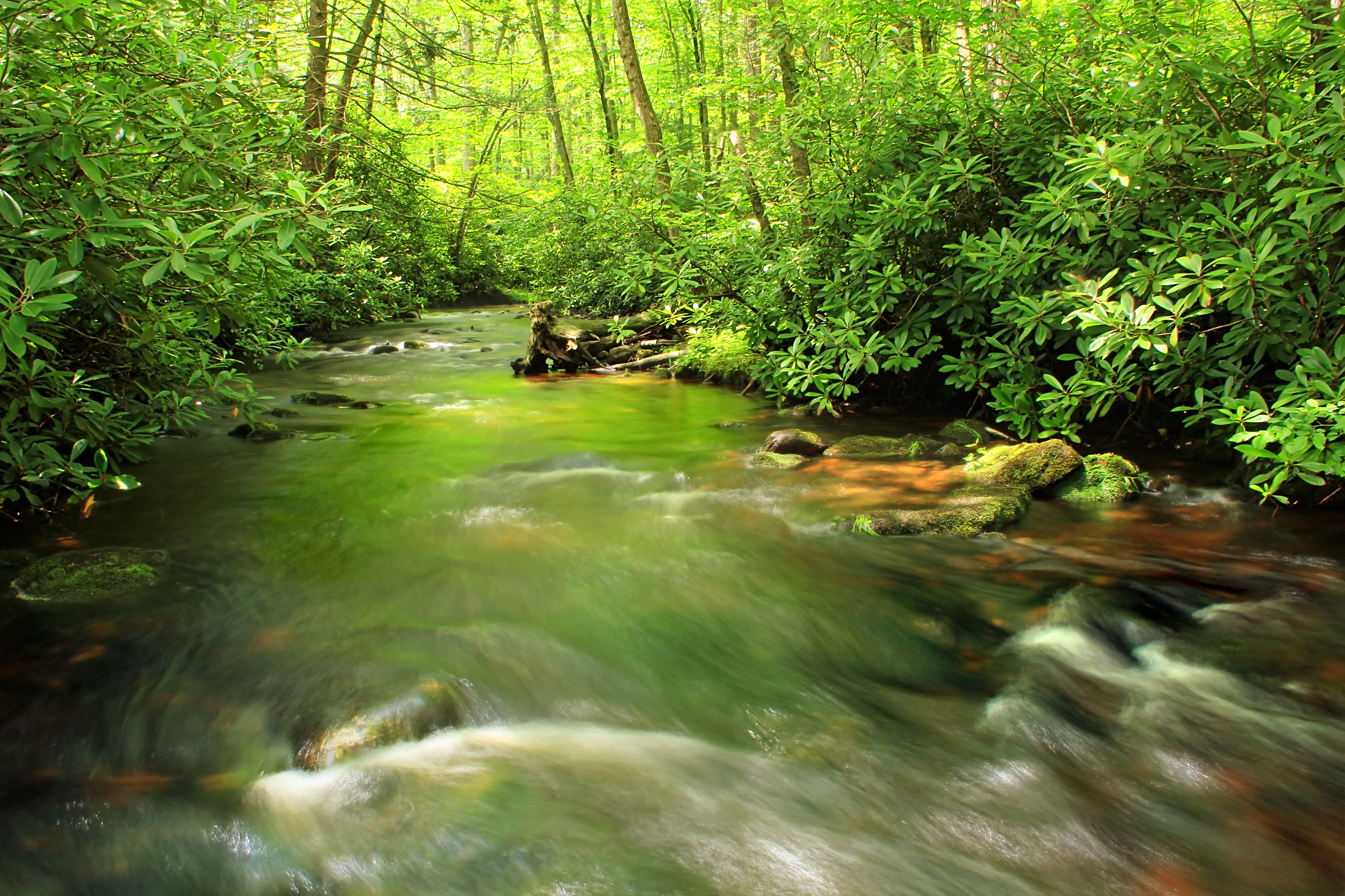
Spruce Gap (5)

Spruce Gap (2)
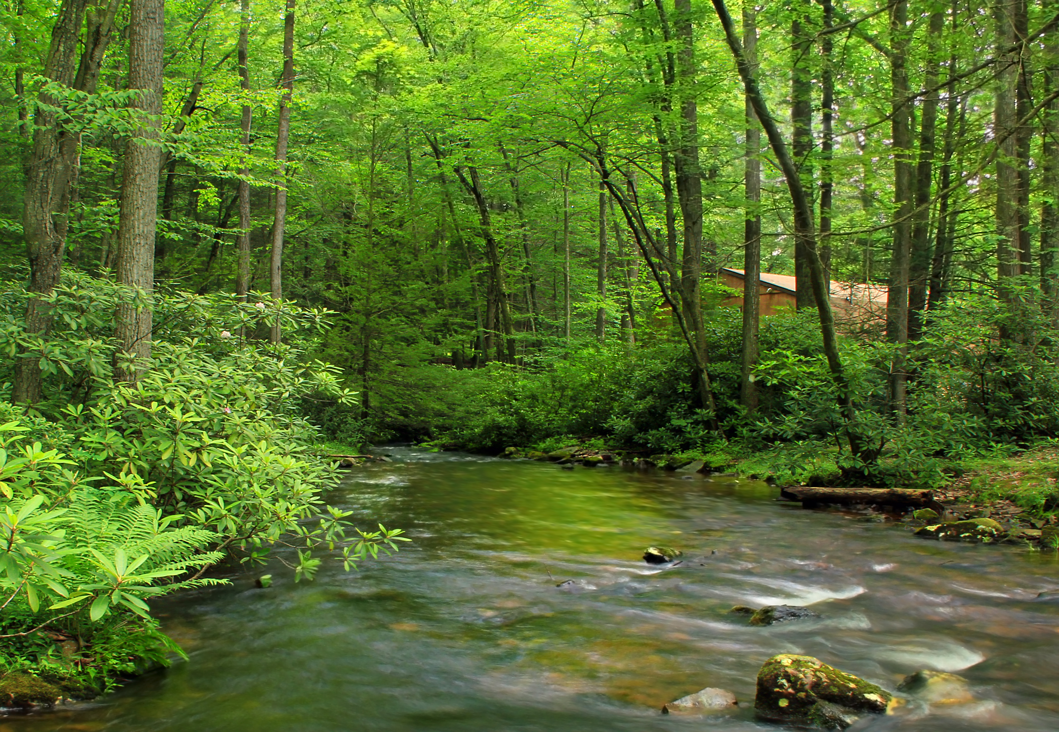
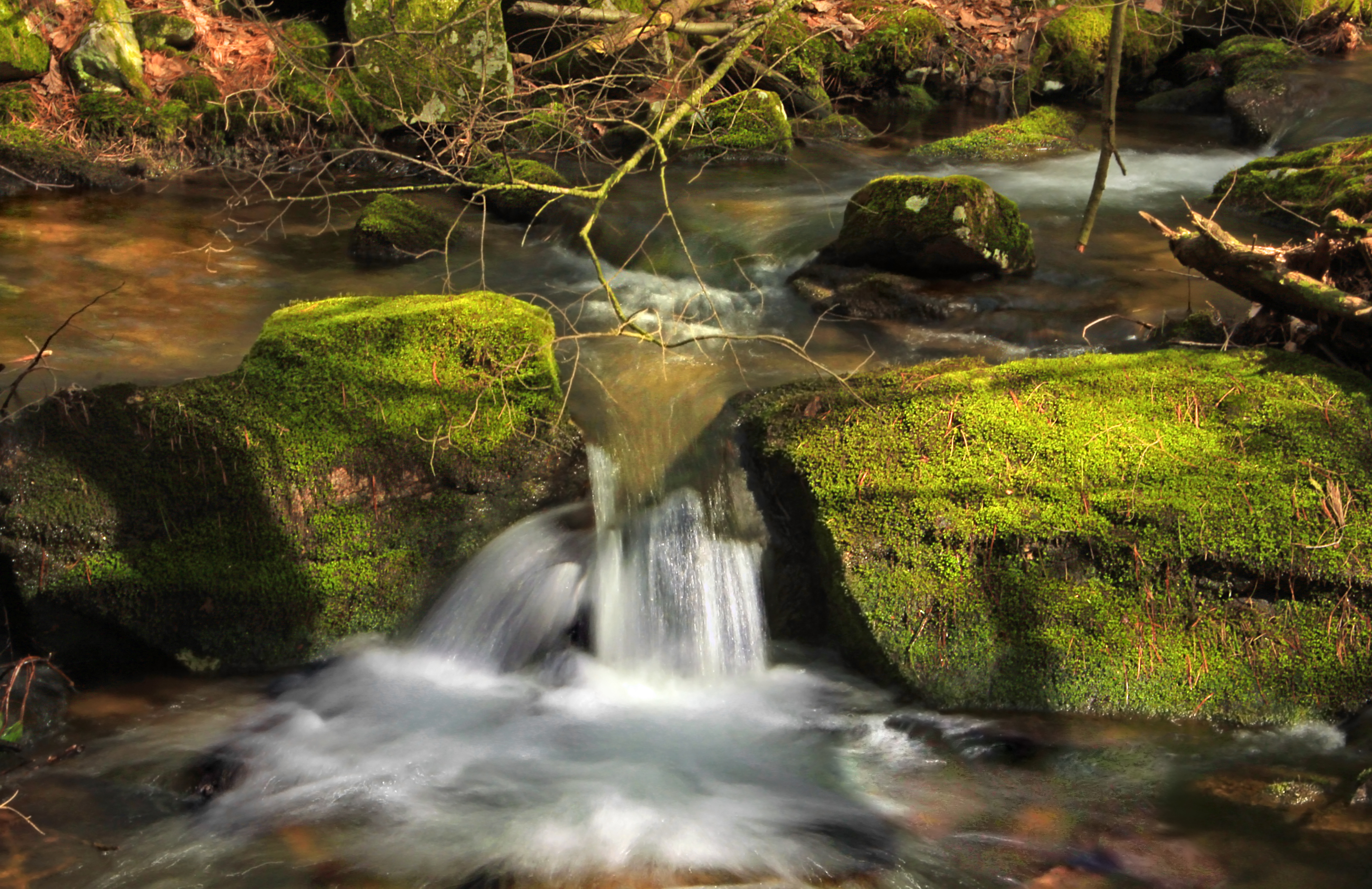
Halfway Run (2)
Spruce Gap (4)
Sand Bridge State Park (8)
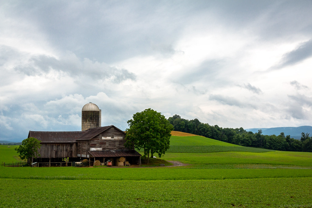
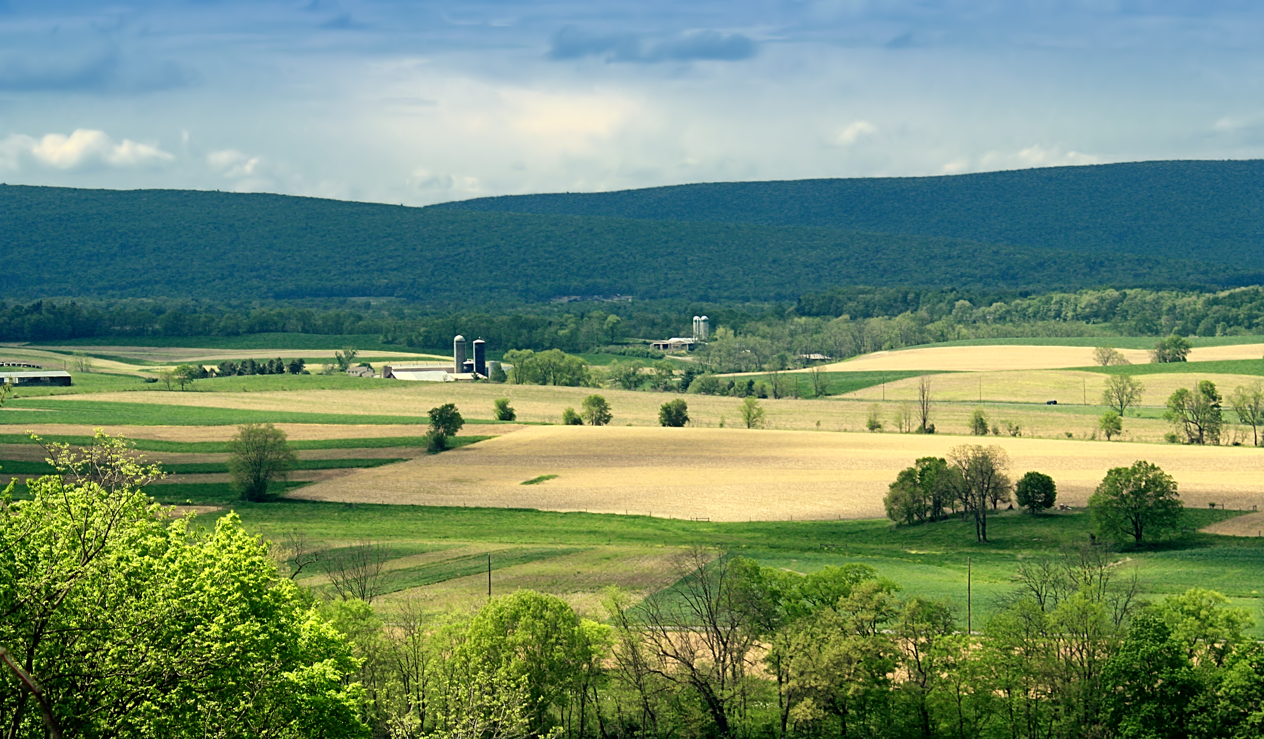
Barn and Fields, Union County, Pennsylvania, 2014
Hook Natural Area (Revisited) (3)
Sand Bridge State Park (2)
Spruce Gap (1)

Pingo Scar

Combine 1
Sand Bridge State Park (5)
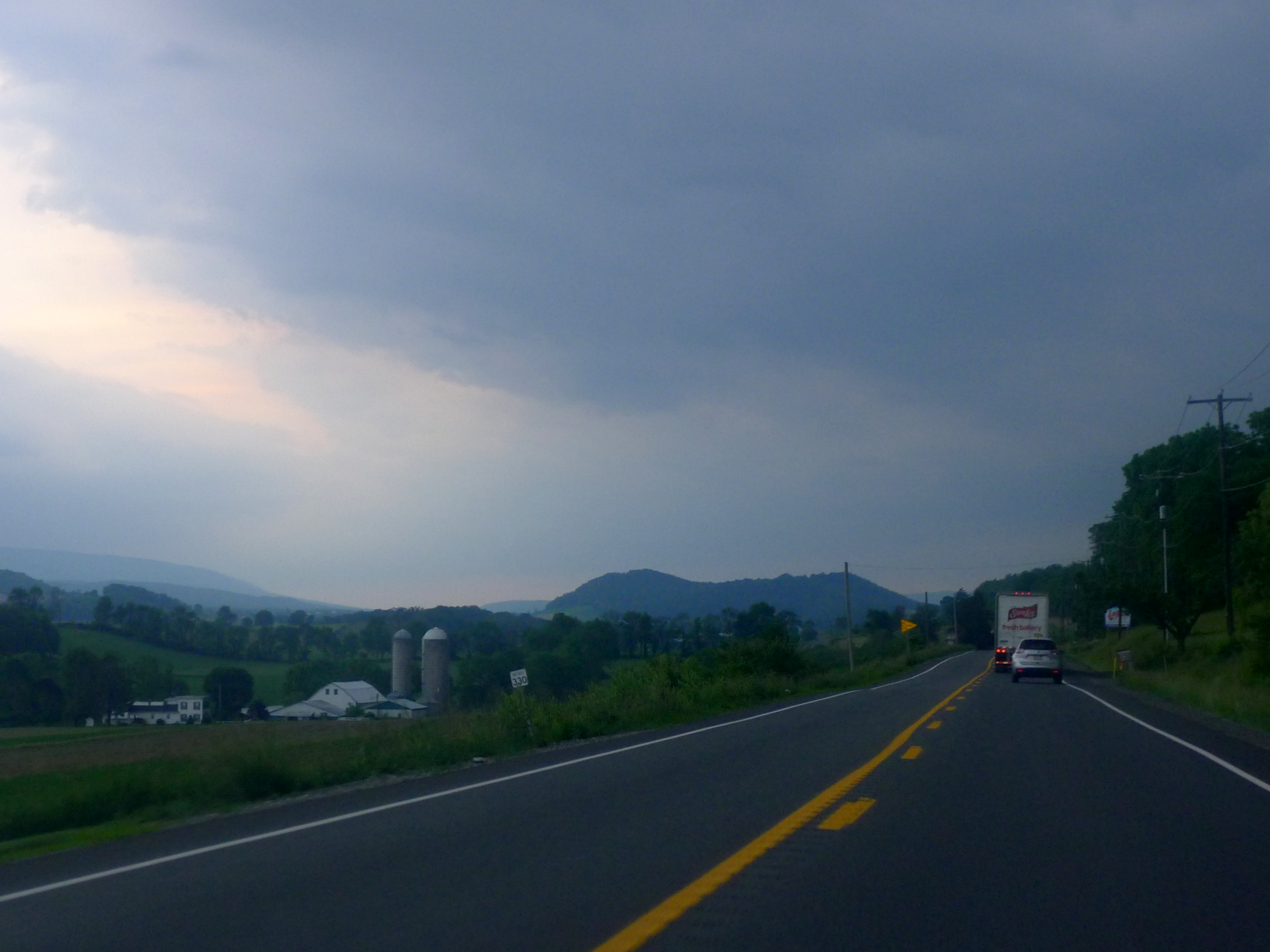
U.S. 522 west of Middleburg, PA
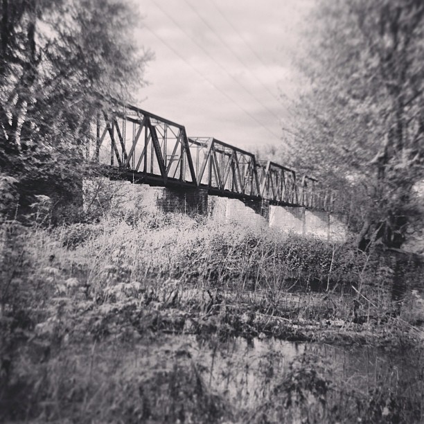
Exploring the creek. #landscape #lewisburg #bridge #country #decay #nature #water #creek #river

Bucknell University

Dried corn in the field

Fields of Corn

Awesome sunset over Mifflinburg, Pa
Topographic Map of Brouse Rd, Mifflinburg, PA, USA
Find elevation by address:

Places near Brouse Rd, Mifflinburg, PA, USA:
Limestone Township
106 Mockingbird Dr
Stoney Acres Road
Mifflinburg
9730 Pa-304
494 N 4th St
Buffalo Township
Walnut St, Middleburg, PA, USA
Penns Creek
Center Township
3275 Pleasant Grove Rd
Millmont
Middleburg
Main St, Millmont, PA, USA
Hartleton
Laurelton
Laurel Rd, Millmont, PA, USA
Hartley Township
Sunsational Family Campground
Union County Sportsmen's Club
Recent Searches:
- Elevation of Corso Fratelli Cairoli, 35, Macerata MC, Italy
- Elevation of Tallevast Rd, Sarasota, FL, USA
- Elevation of 4th St E, Sonoma, CA, USA
- Elevation of Black Hollow Rd, Pennsdale, PA, USA
- Elevation of Oakland Ave, Williamsport, PA, USA
- Elevation of Pedrógão Grande, Portugal
- Elevation of Klee Dr, Martinsburg, WV, USA
- Elevation of Via Roma, Pieranica CR, Italy
- Elevation of Tavkvetili Mountain, Georgia
- Elevation of Hartfords Bluff Cir, Mt Pleasant, SC, USA