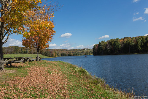
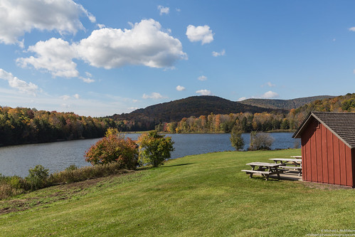
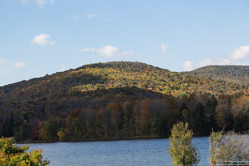
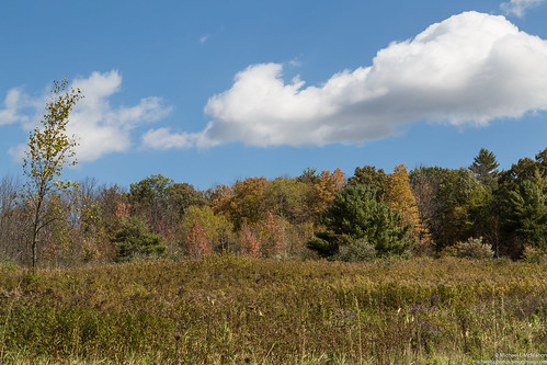
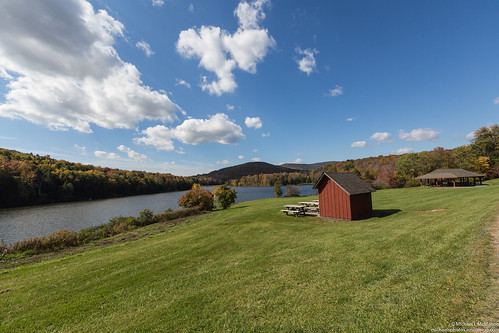
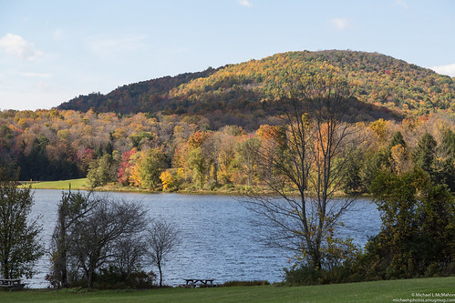
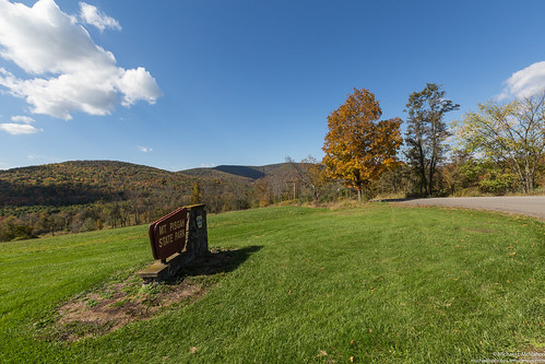
Elevation of Brosman Road, Brosman Rd, Ulster, PA, USA
Location: United States > Pennsylvania > Bradford County > Smithfield Township >
Longitude: -76.551738
Latitude: 41.831236
Elevation: 343m / 1125feet
Barometric Pressure: 97KPa
Related Photos:
Topographic Map of Brosman Road, Brosman Rd, Ulster, PA, USA
Find elevation by address:

Places near Brosman Road, Brosman Rd, Ulster, PA, USA:
Noble Road
1555 Evergreen Rd
1 Hawes Ln
319 Pine St
327 Pine St
307 Pine St
23 Main St
109 Pine St
Towanda
514 2nd St
7 Elliott St
2116 Allen Meadow Rd
21511 Old Rte 6 Rd
21511 Old Rte 6 Rd
662 Barclay View Rd
Old Sawmill Road
Old Sawmill Road
622 Canton Ave
40 Crandall Rd
PA-, Granville Summit, PA, USA
Recent Searches:
- Elevation of Corso Fratelli Cairoli, 35, Macerata MC, Italy
- Elevation of Tallevast Rd, Sarasota, FL, USA
- Elevation of 4th St E, Sonoma, CA, USA
- Elevation of Black Hollow Rd, Pennsdale, PA, USA
- Elevation of Oakland Ave, Williamsport, PA, USA
- Elevation of Pedrógão Grande, Portugal
- Elevation of Klee Dr, Martinsburg, WV, USA
- Elevation of Via Roma, Pieranica CR, Italy
- Elevation of Tavkvetili Mountain, Georgia
- Elevation of Hartfords Bluff Cir, Mt Pleasant, SC, USA


