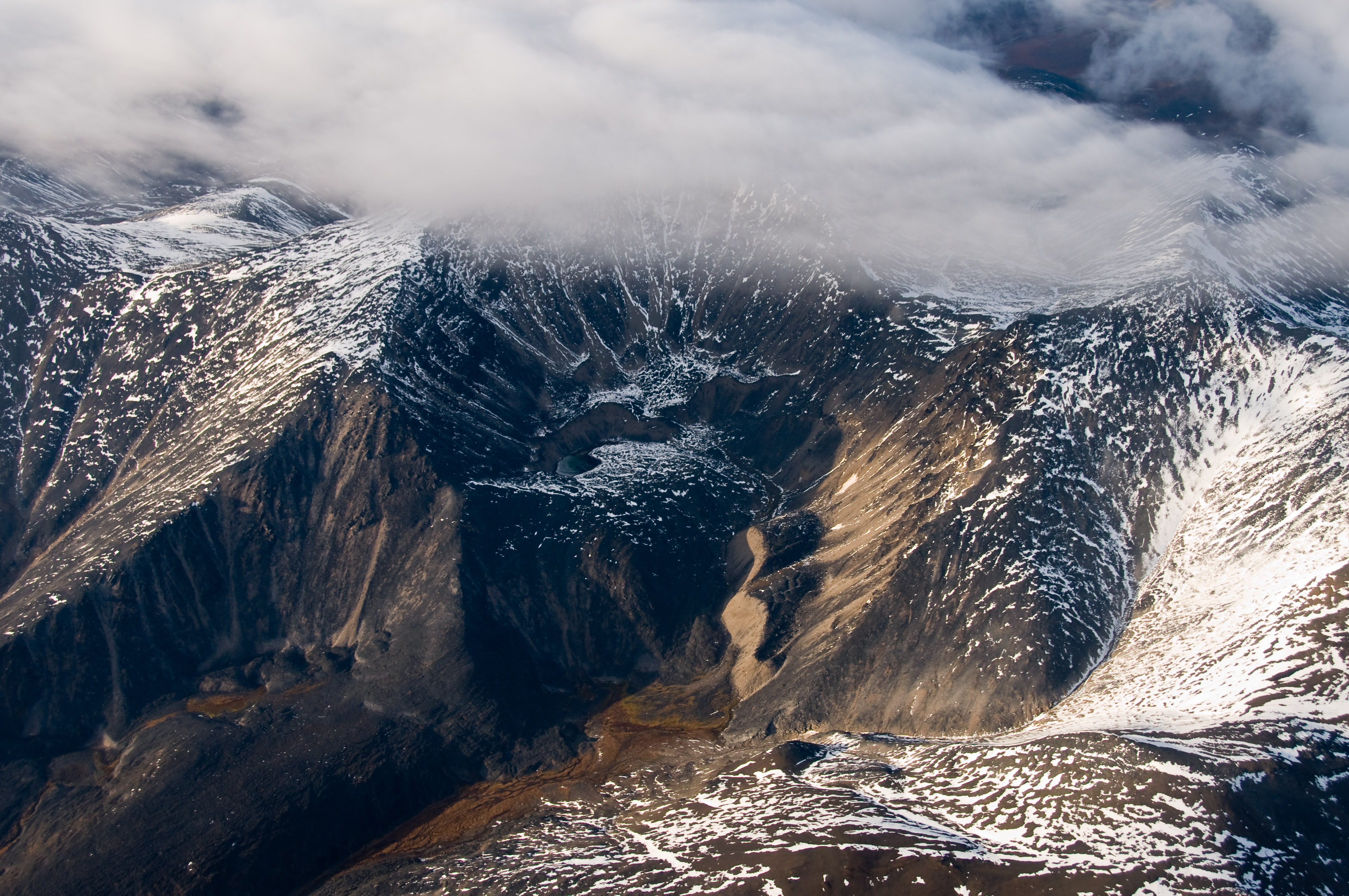
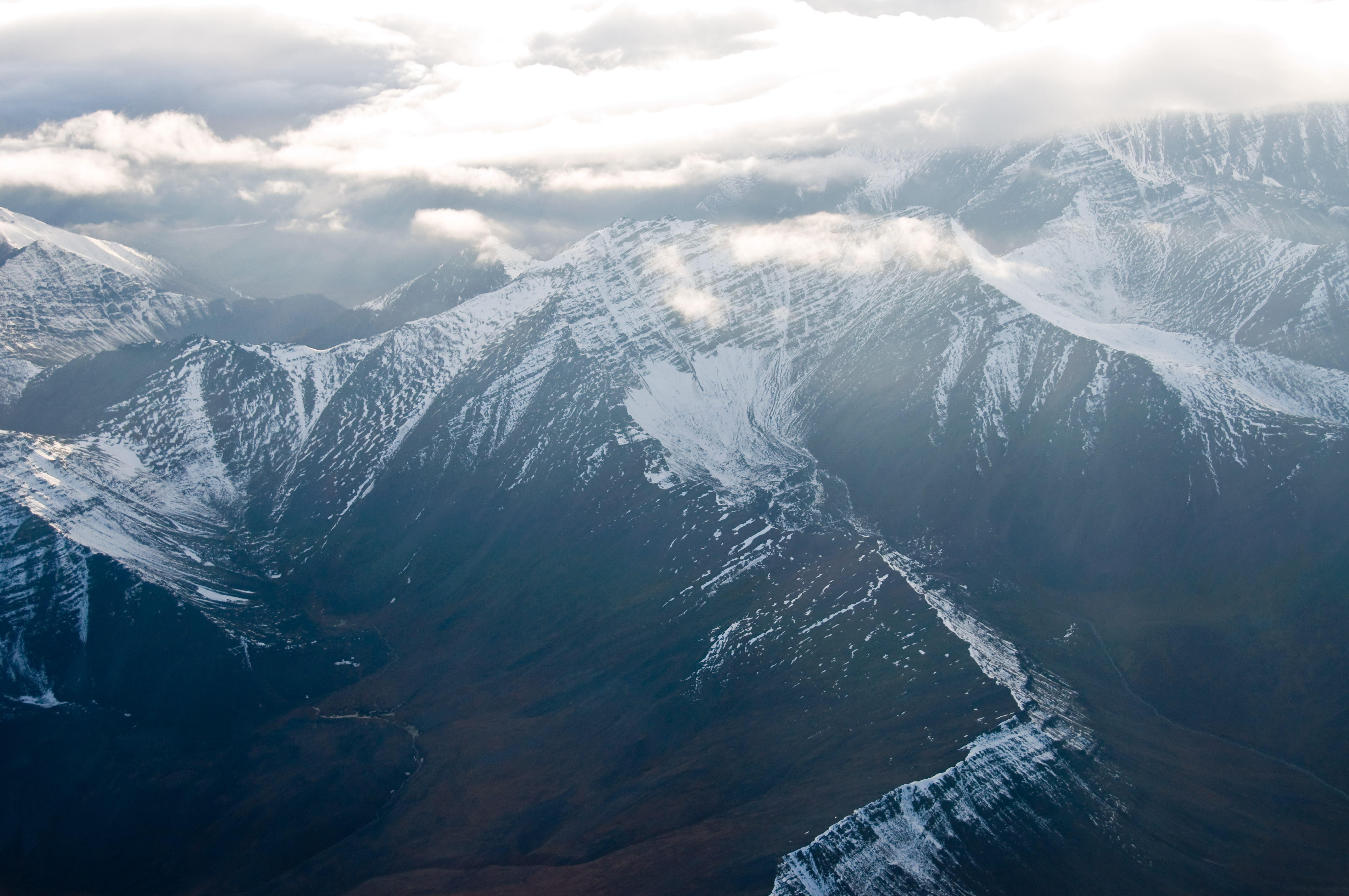
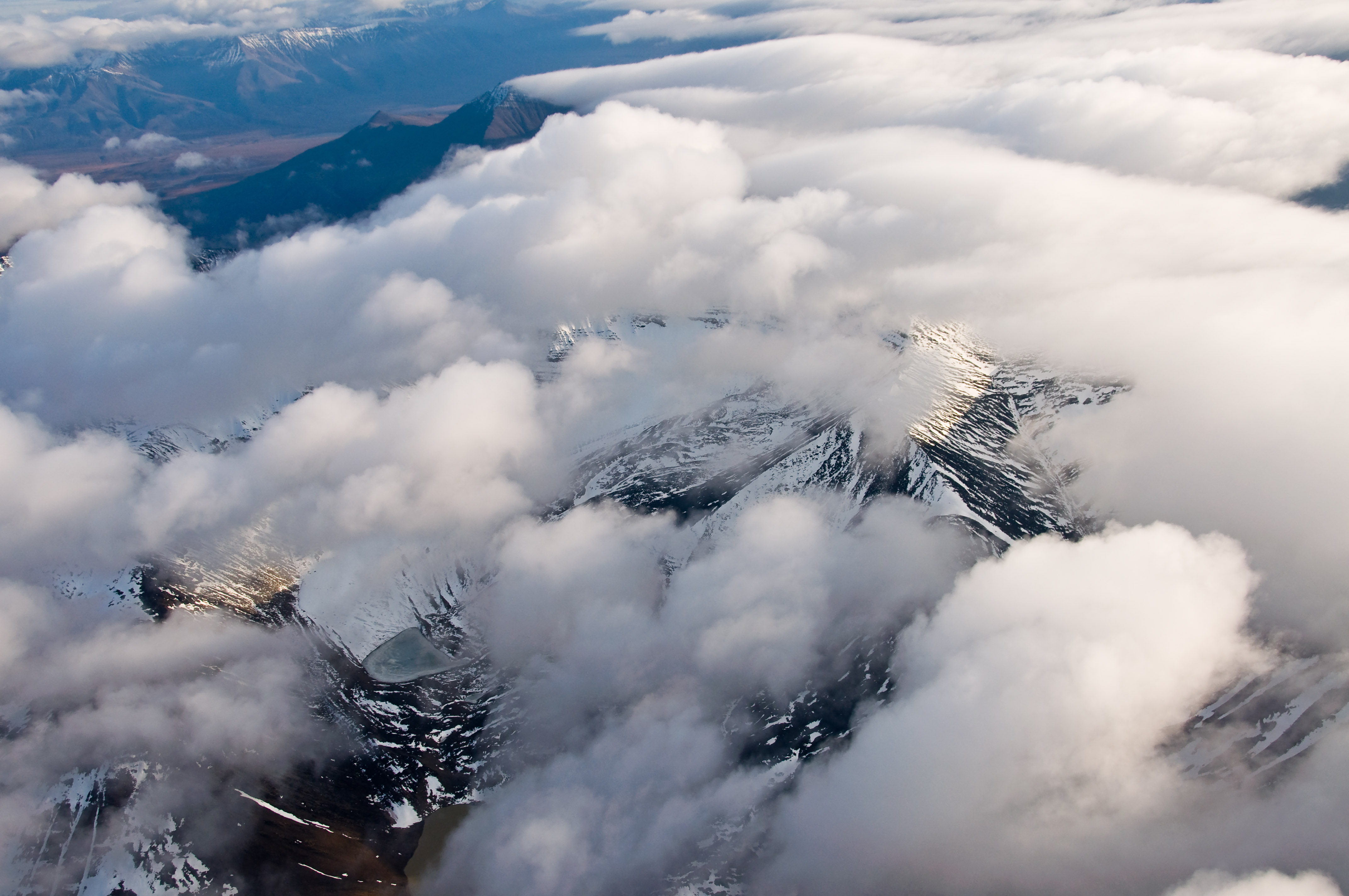
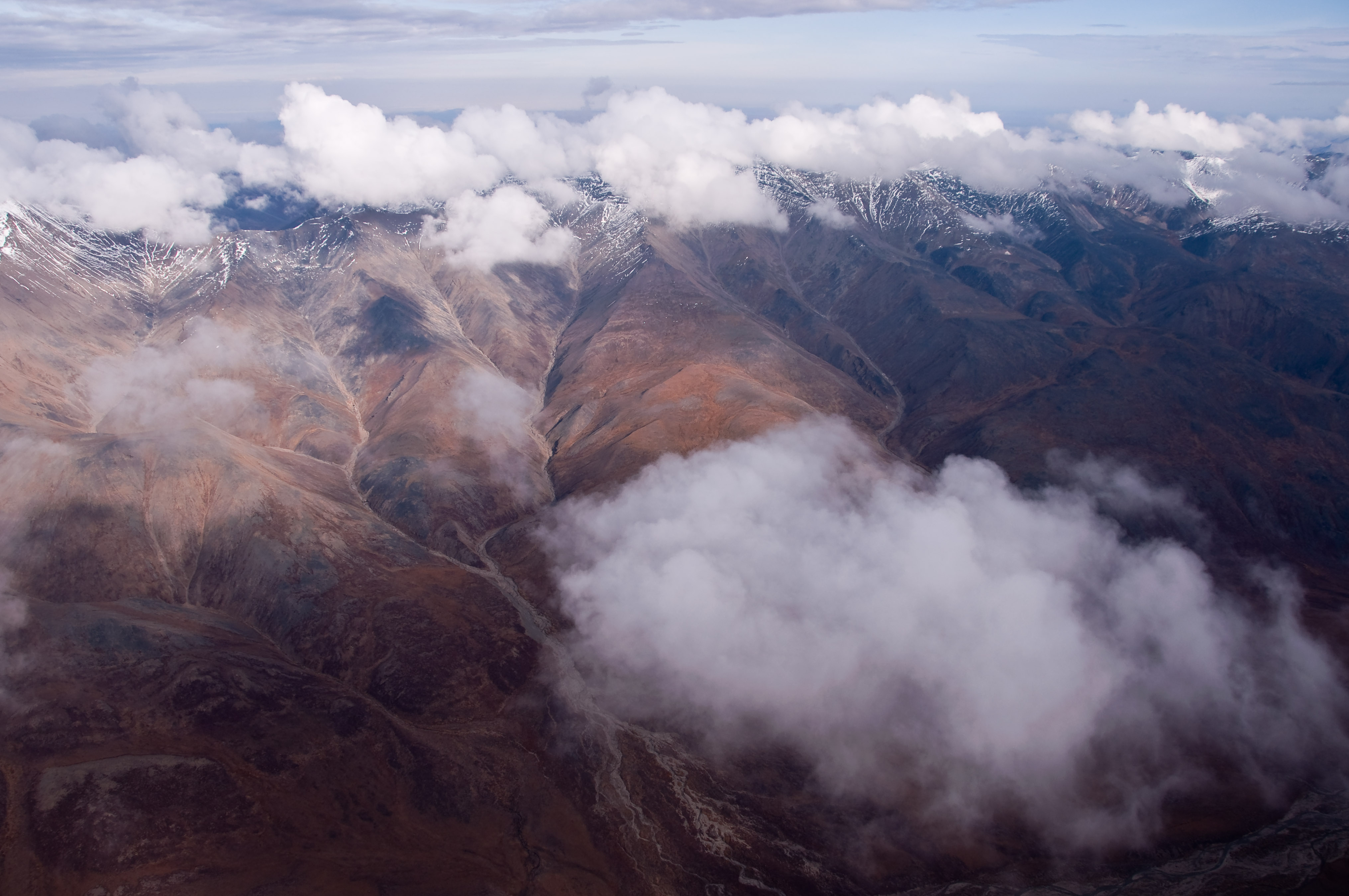
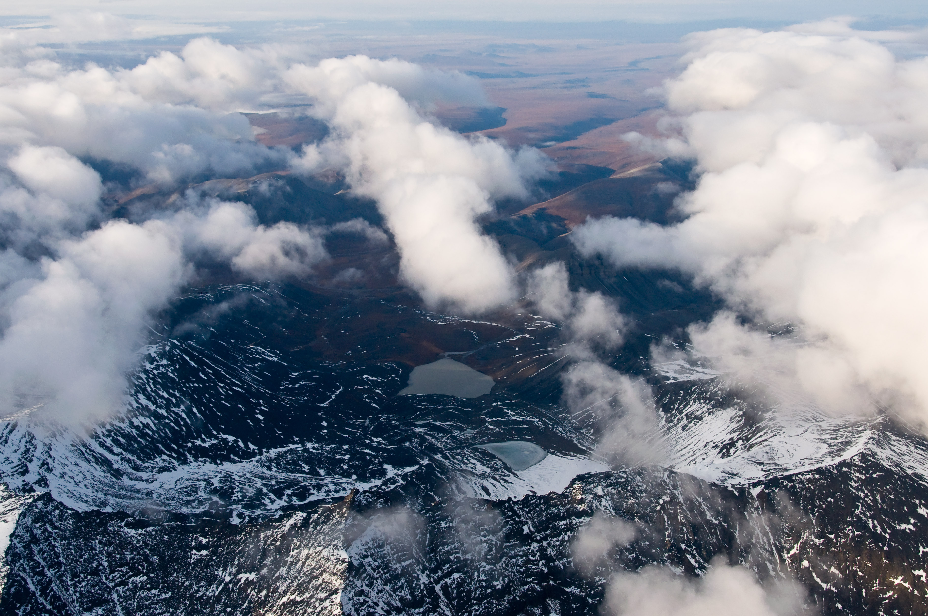
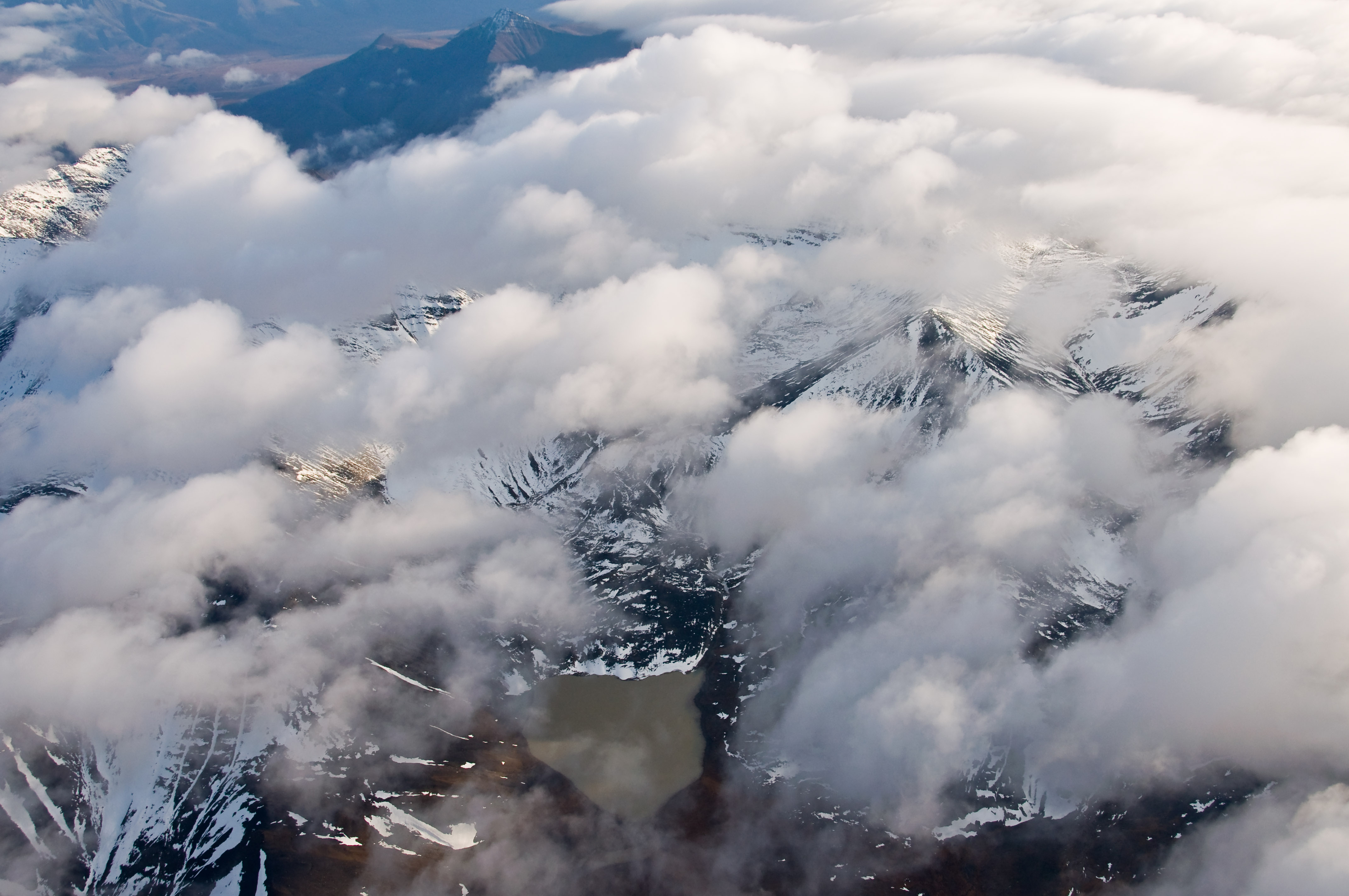
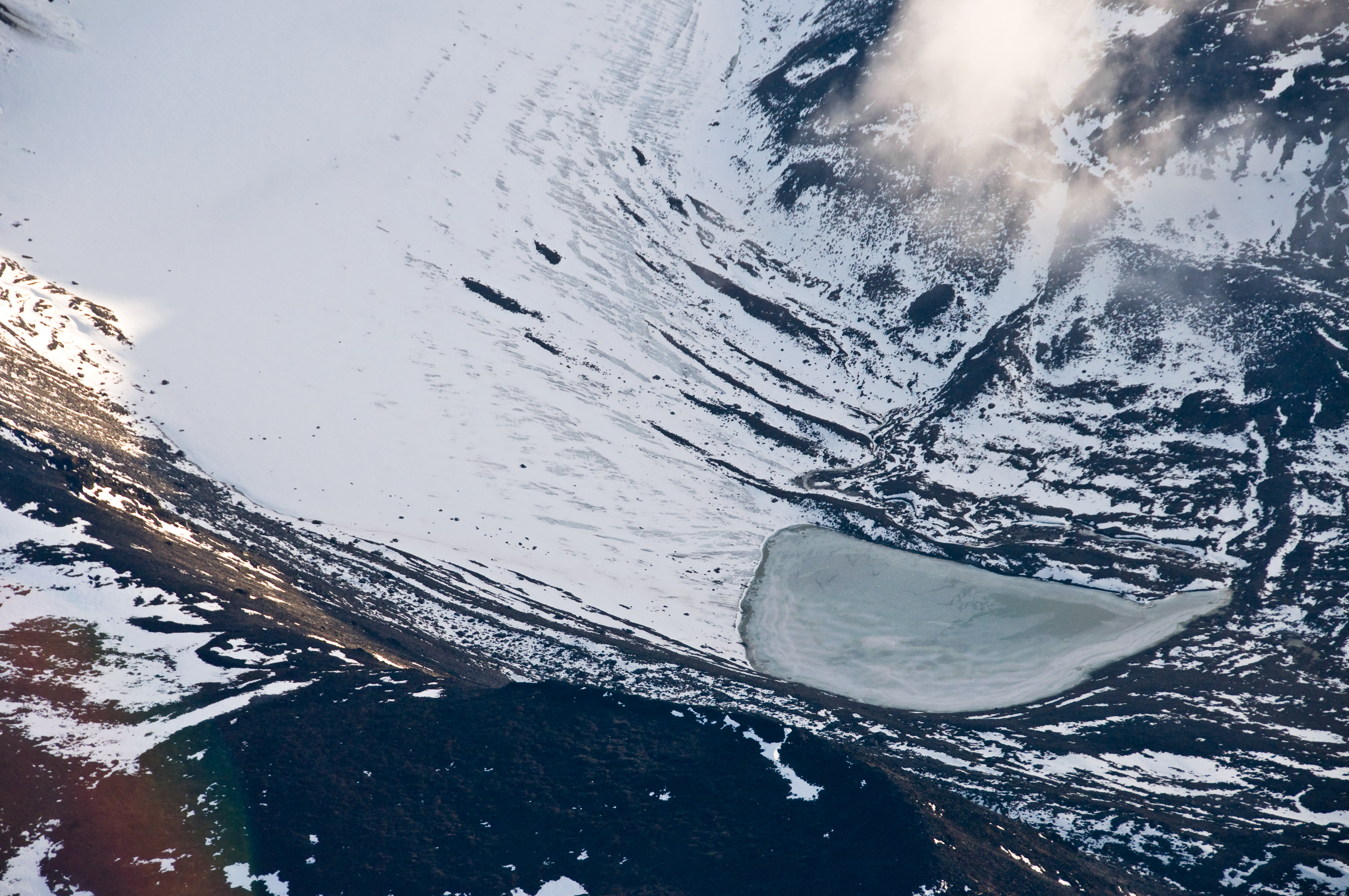
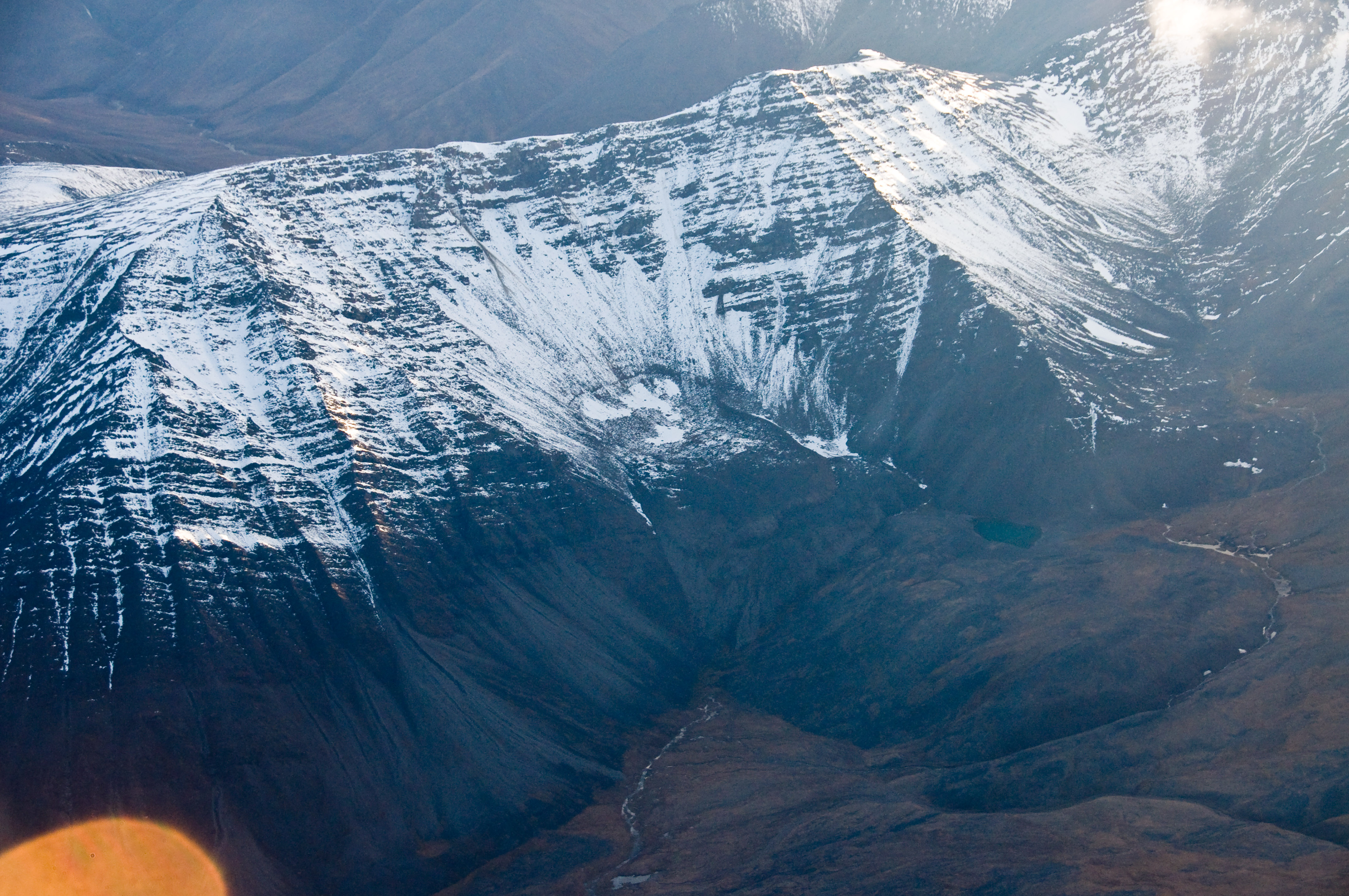
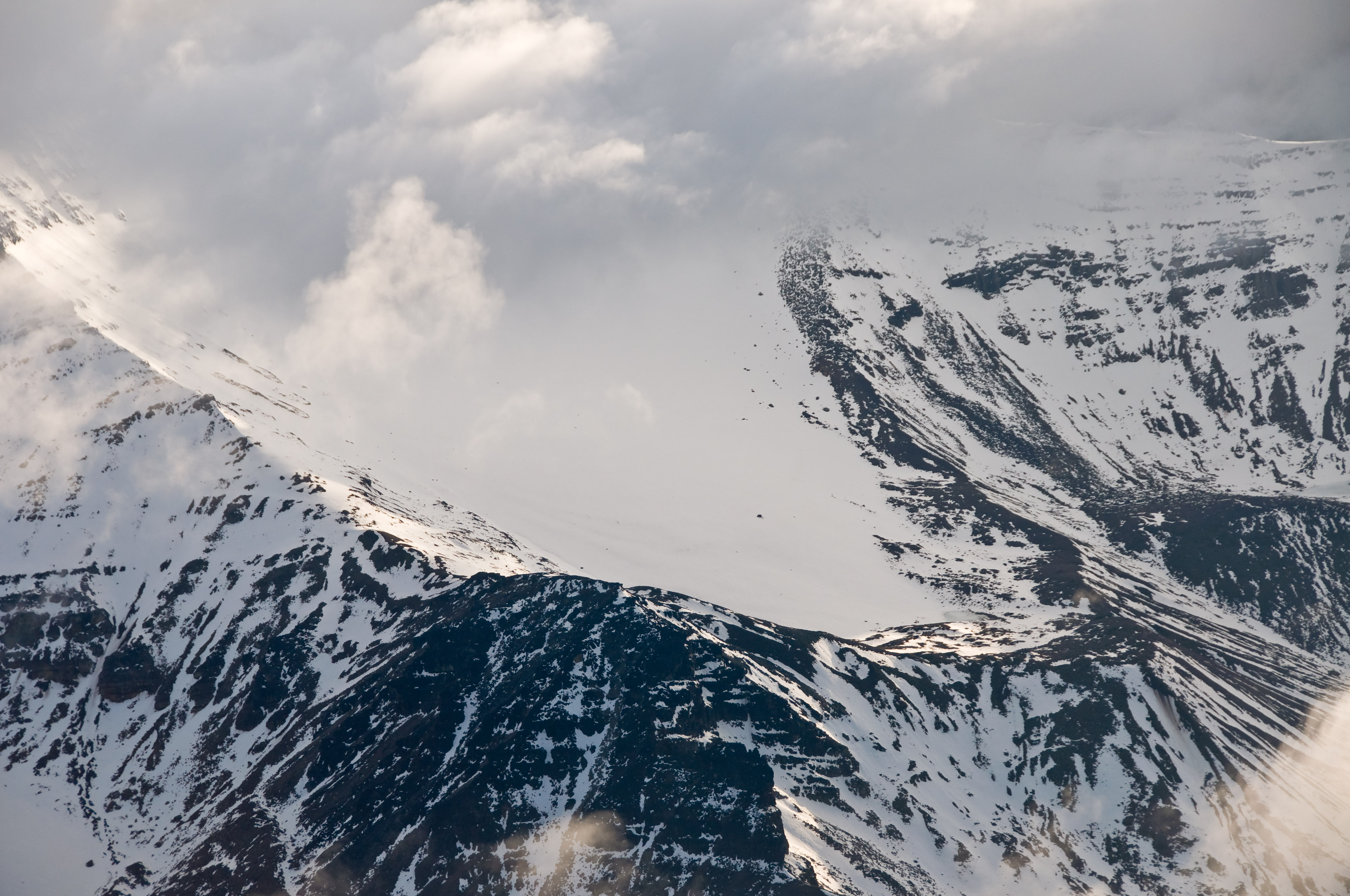
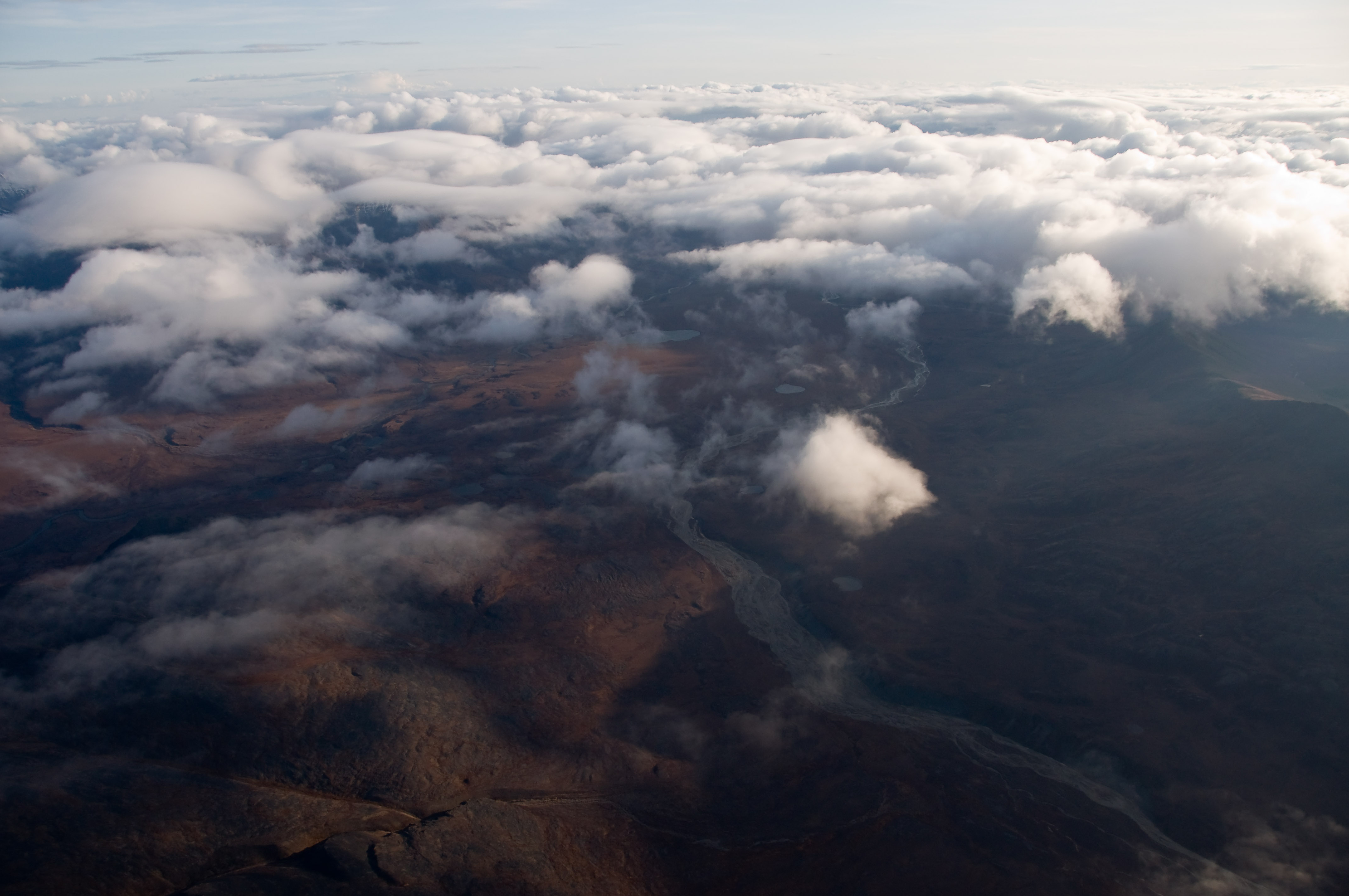
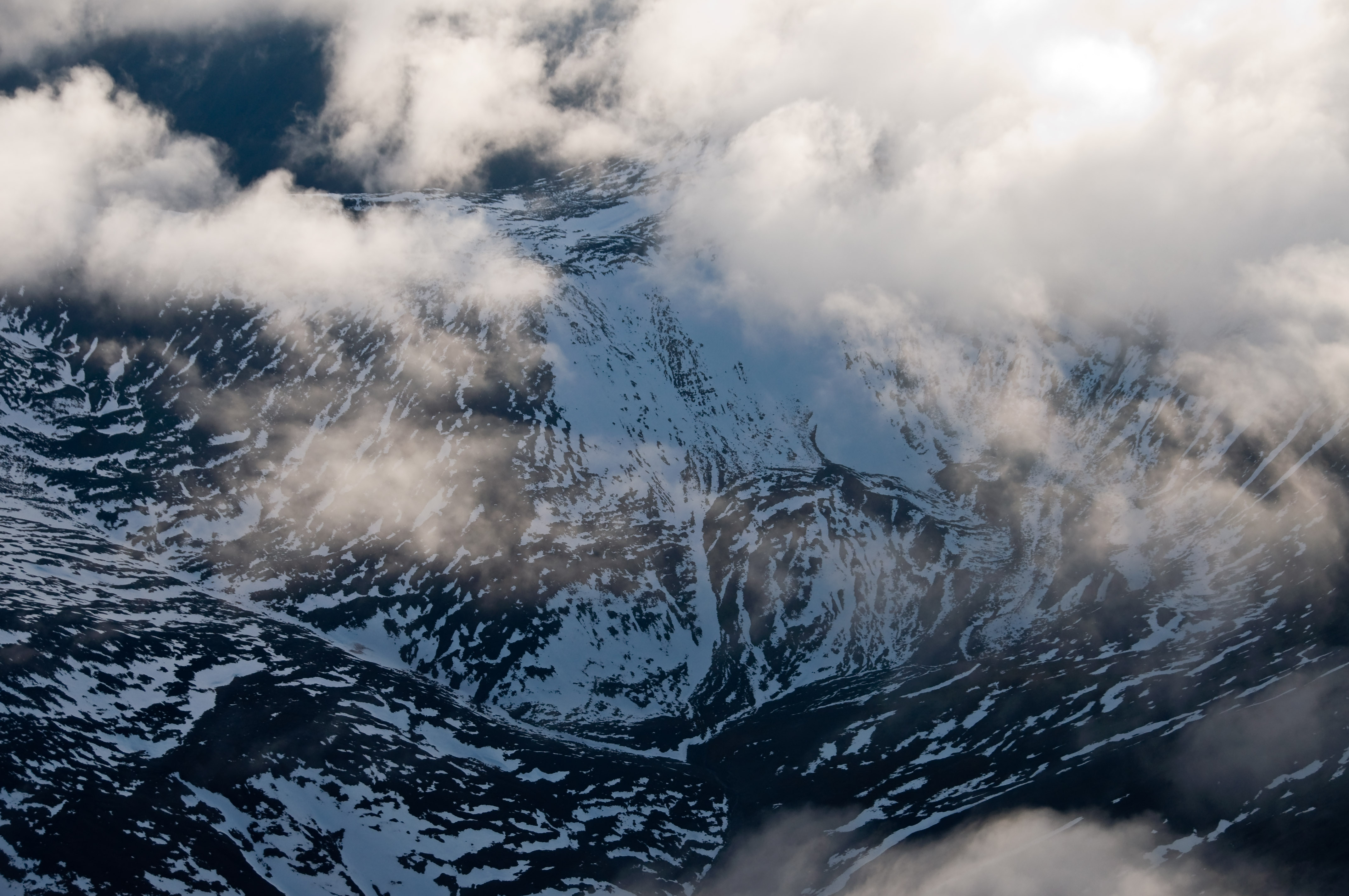
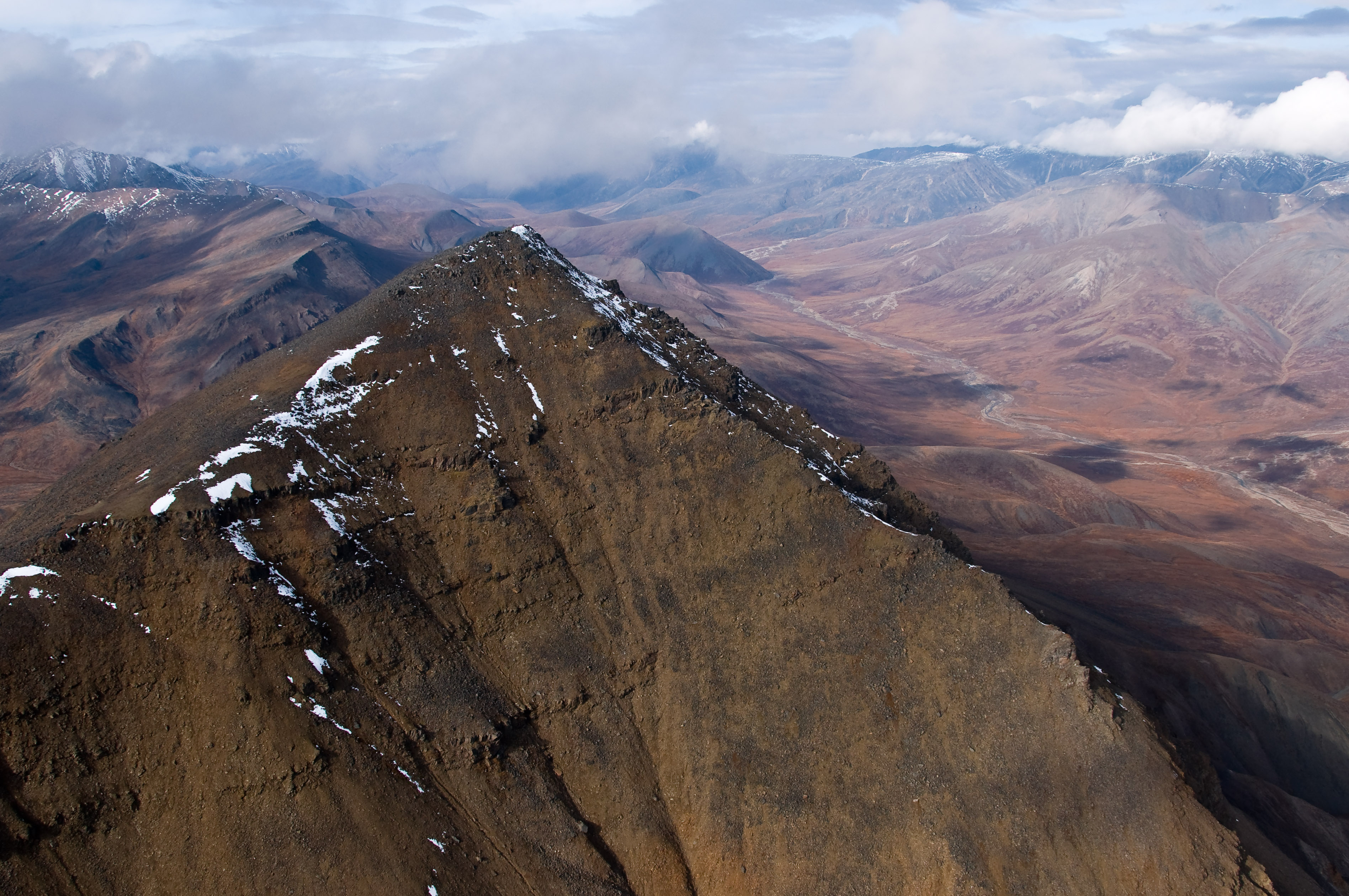
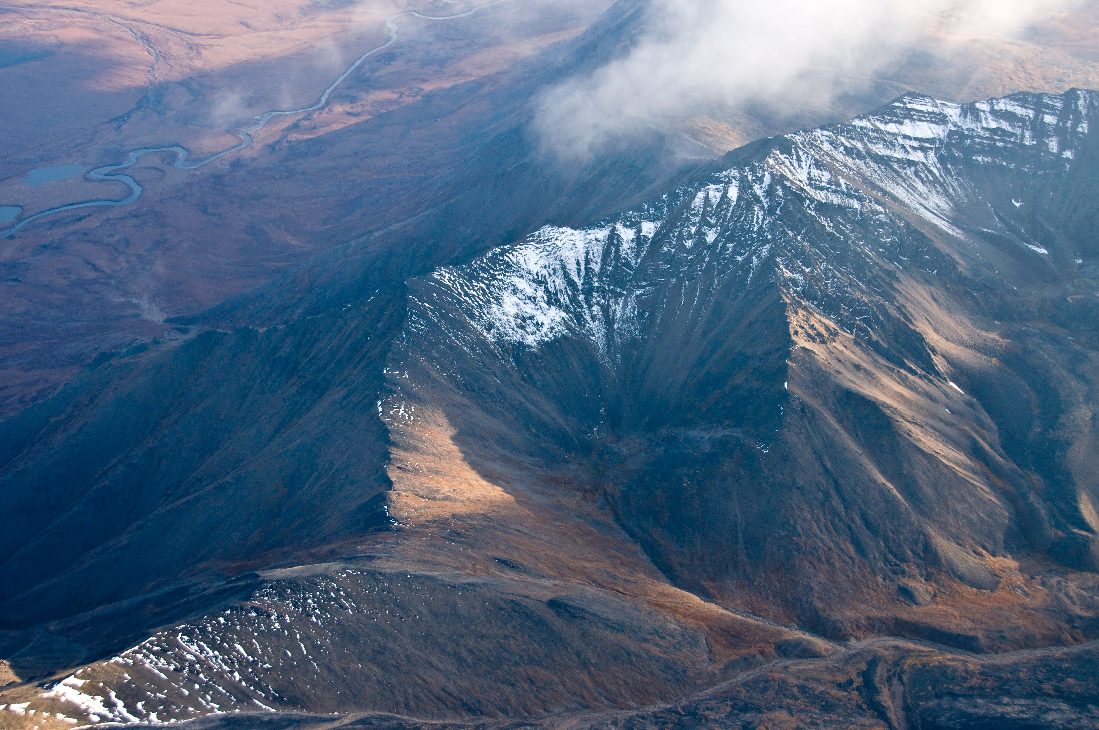
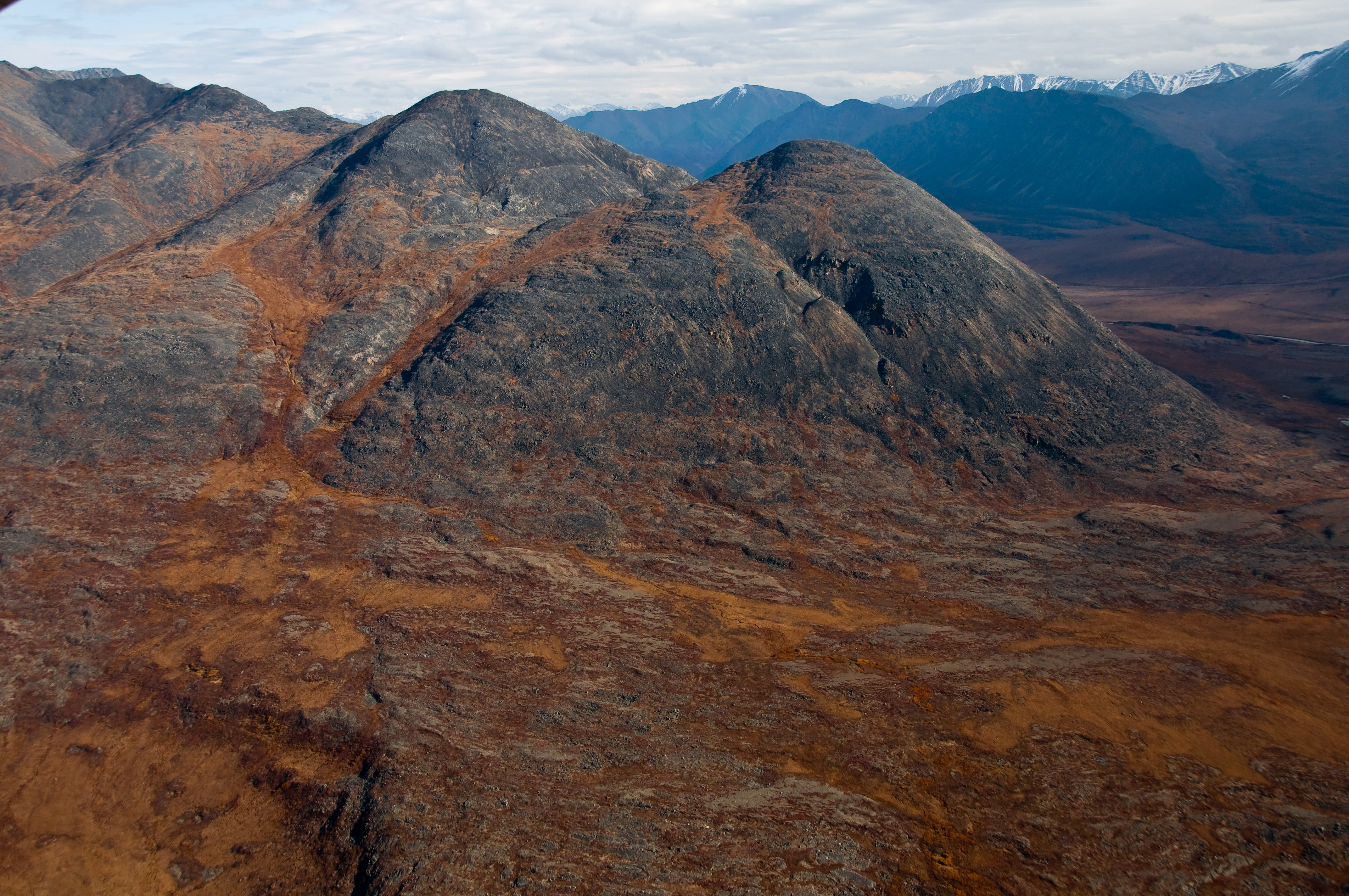
Elevation of Brooks Range, Alaska, USA
Location: United States > Alaska > North Slope >
Longitude: -152.25
Latitude: 68.2
Elevation: 1582m / 5190feet
Barometric Pressure: 84KPa
Elevation Map:
Satellite Map:
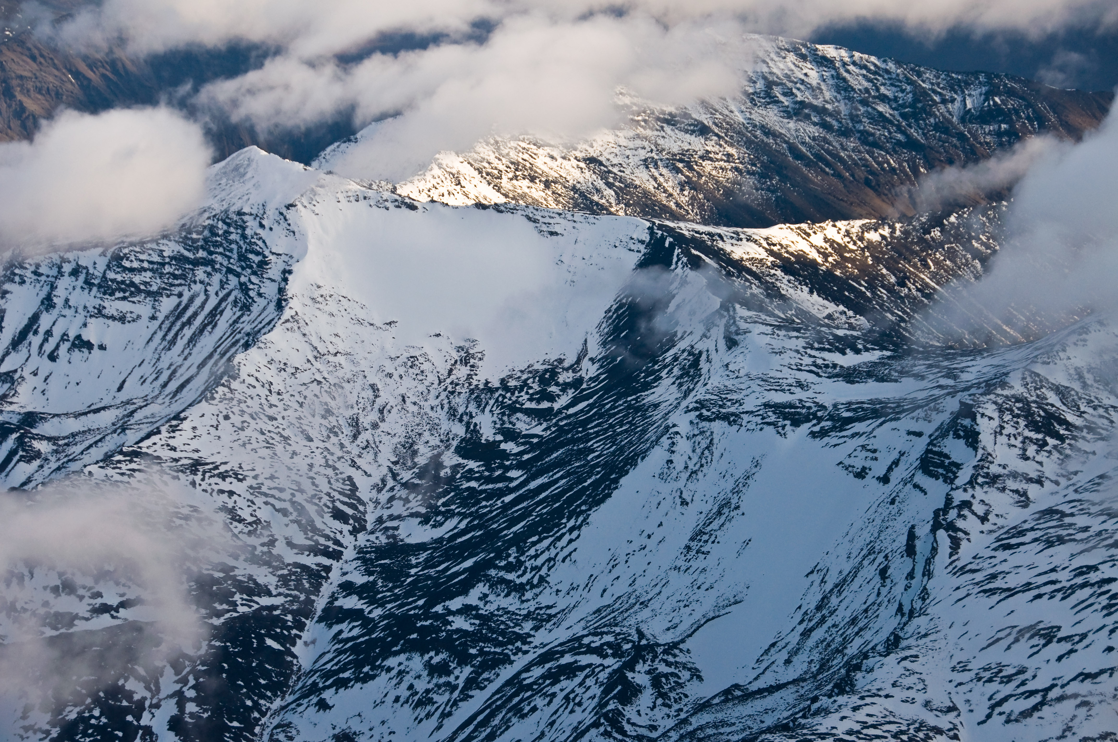
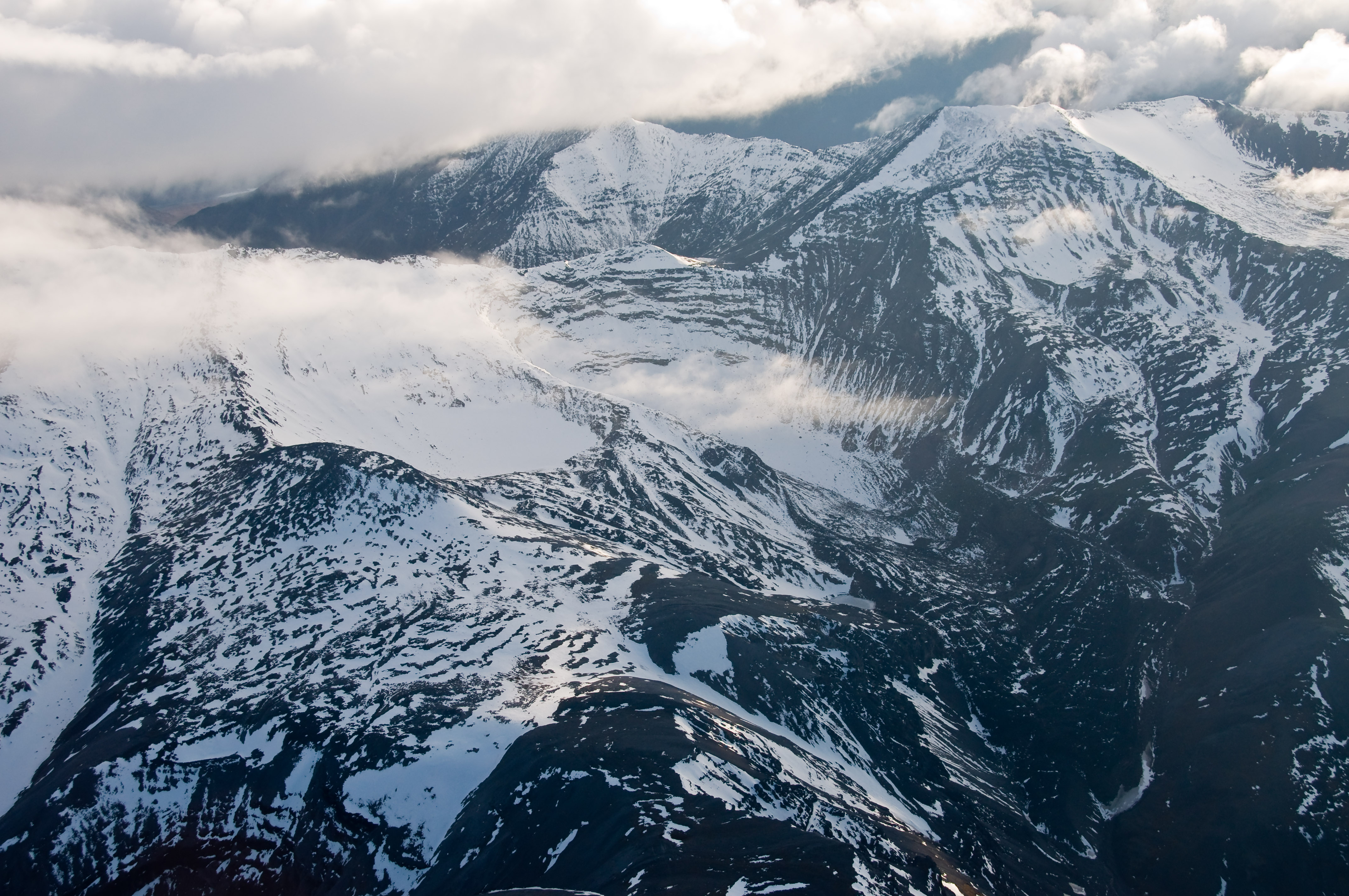
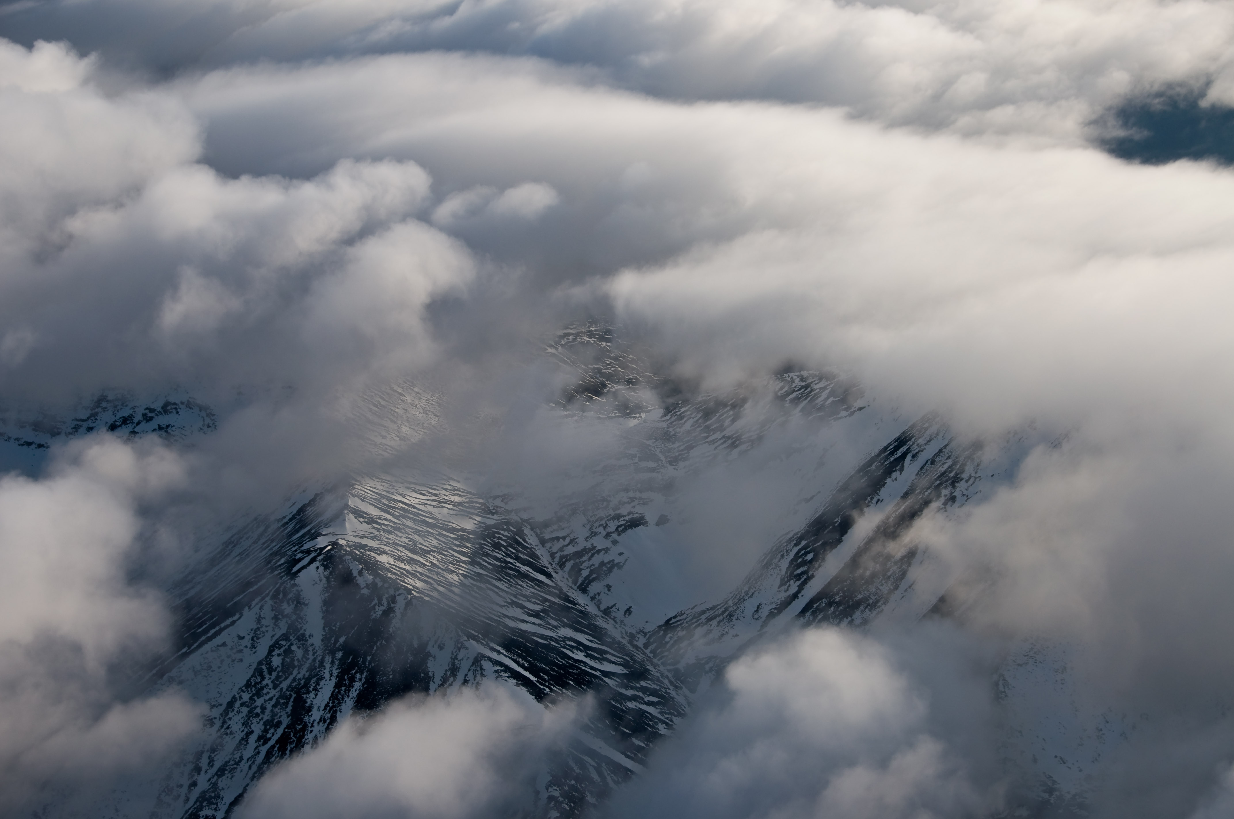
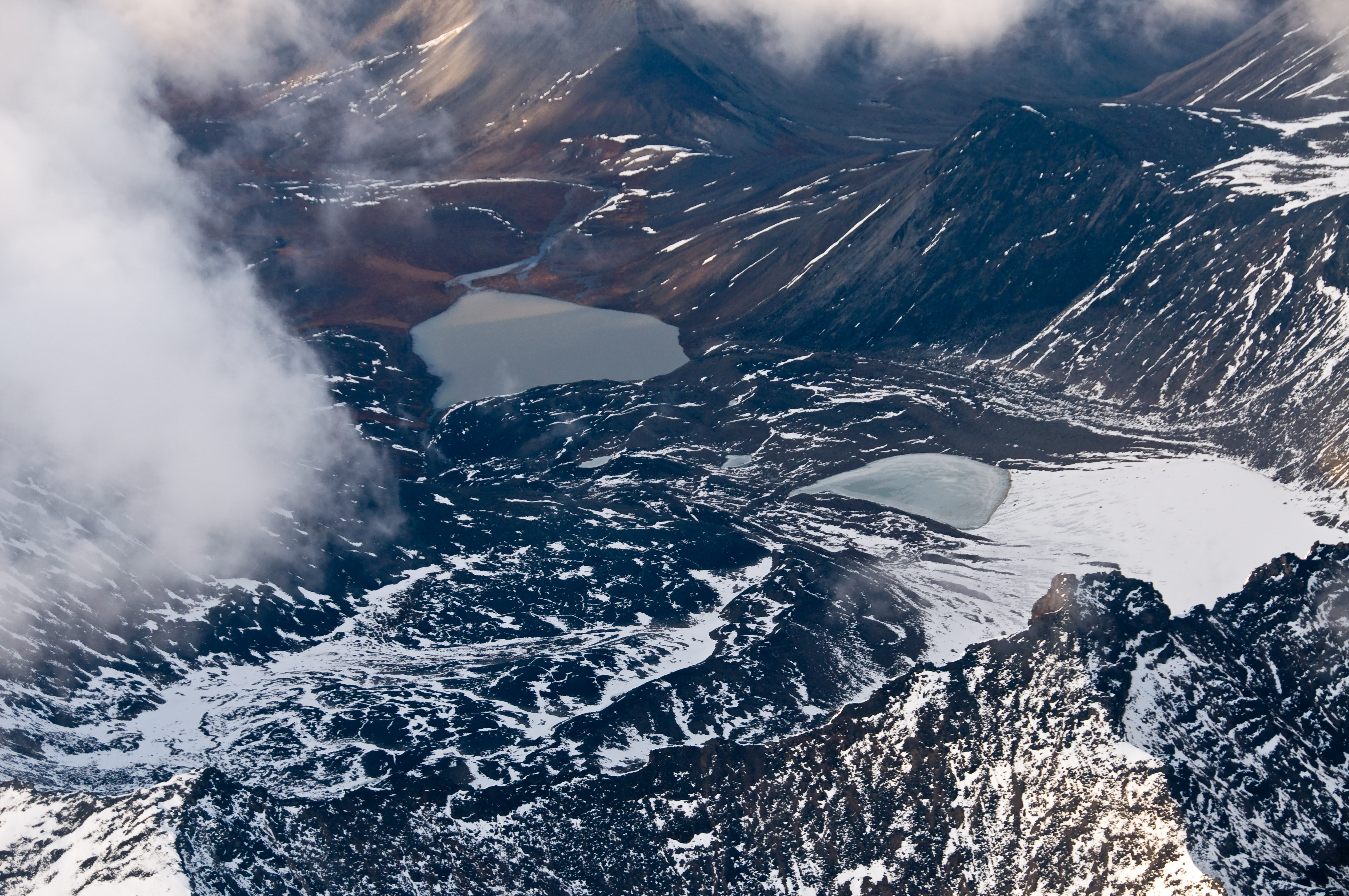
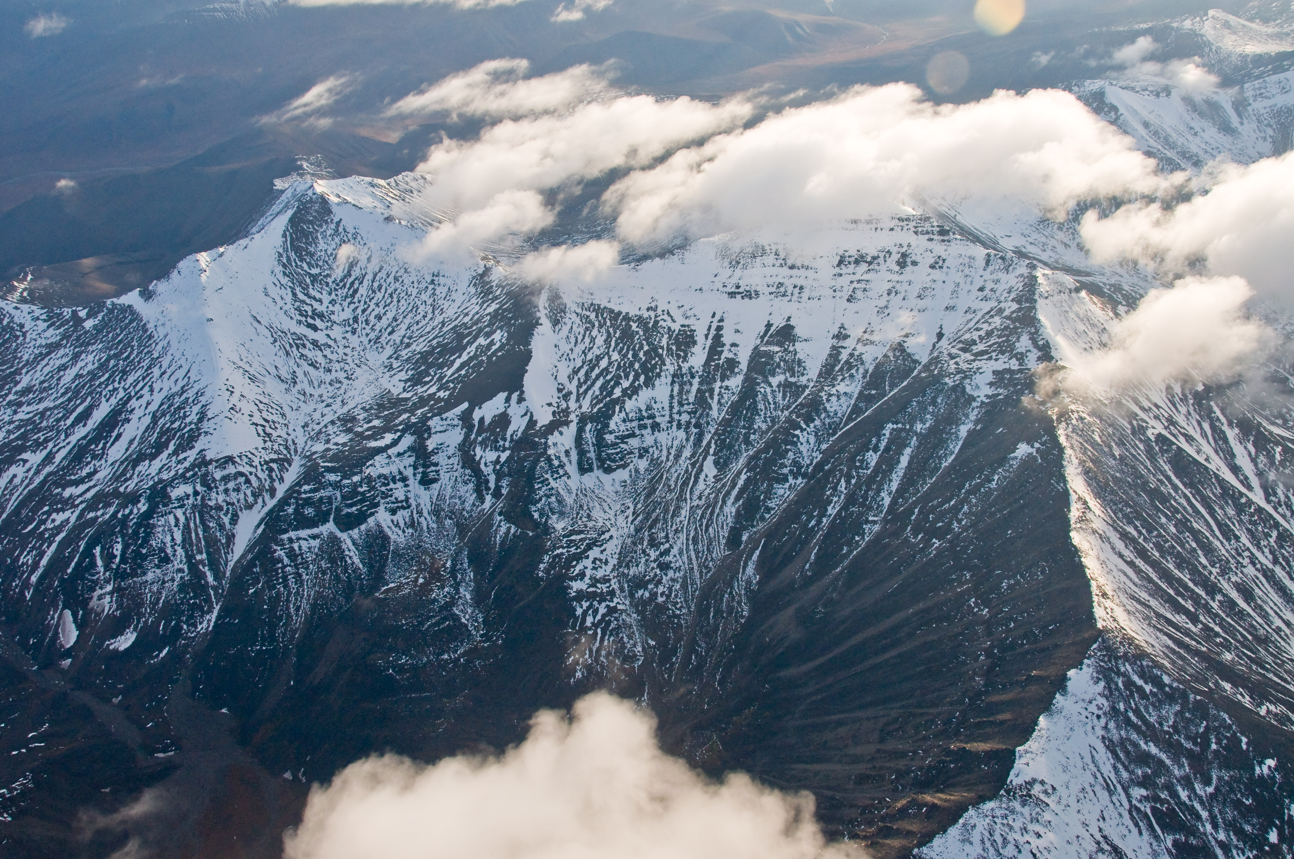
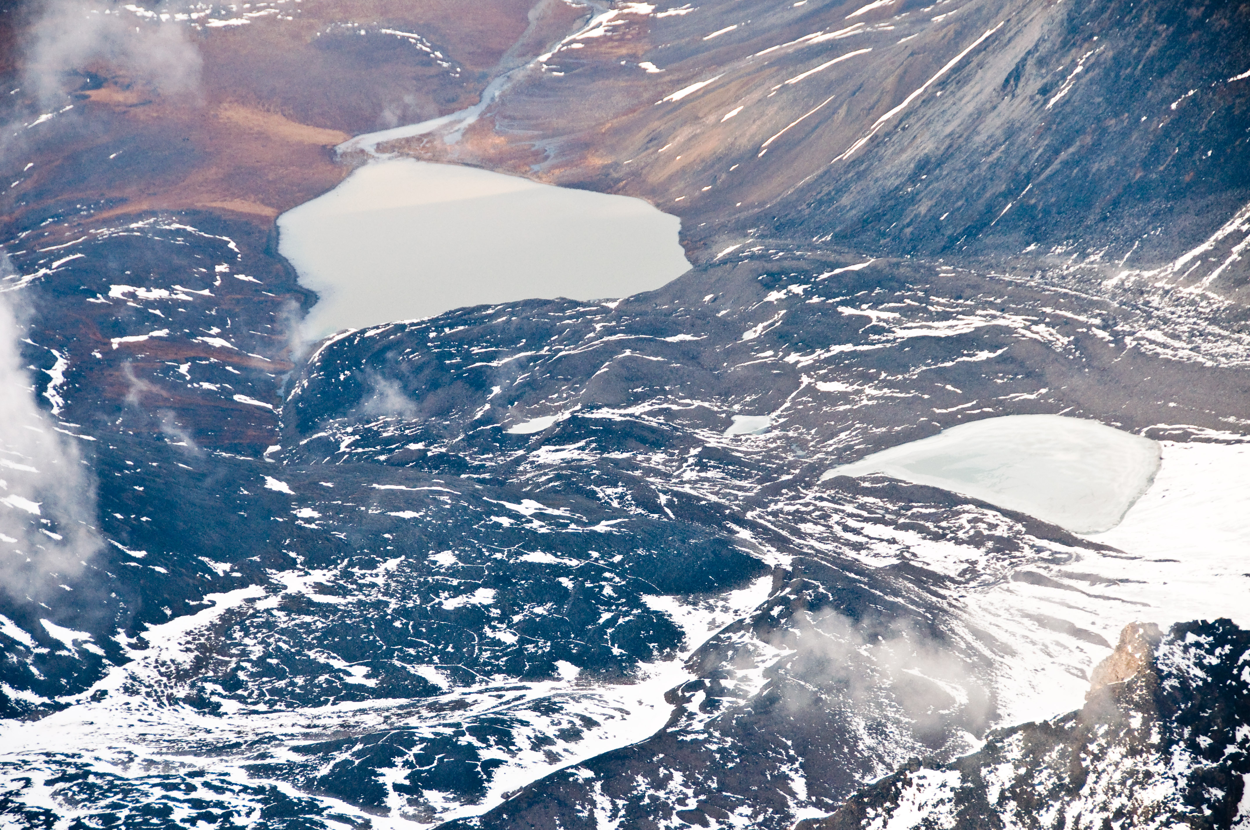
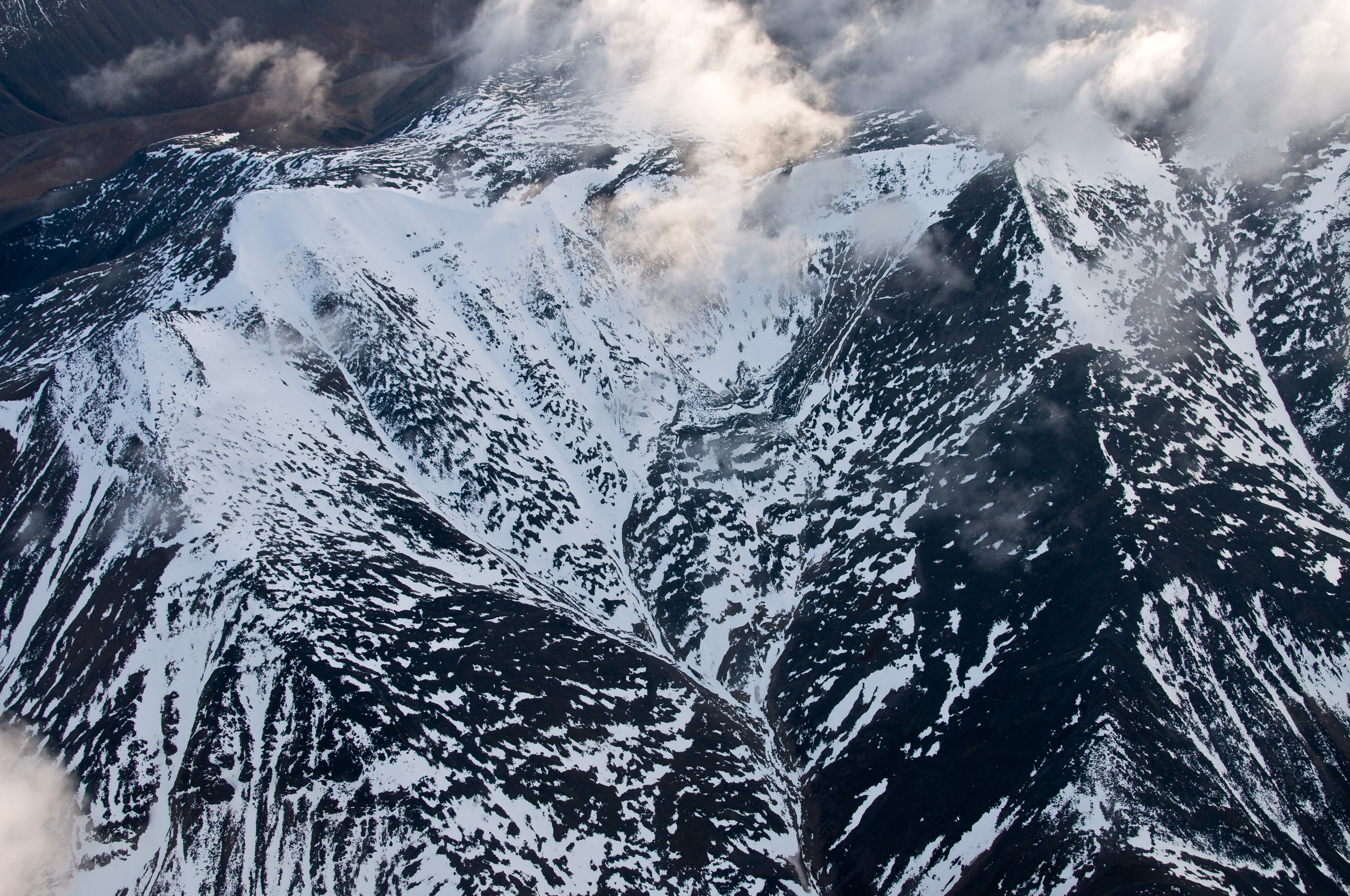
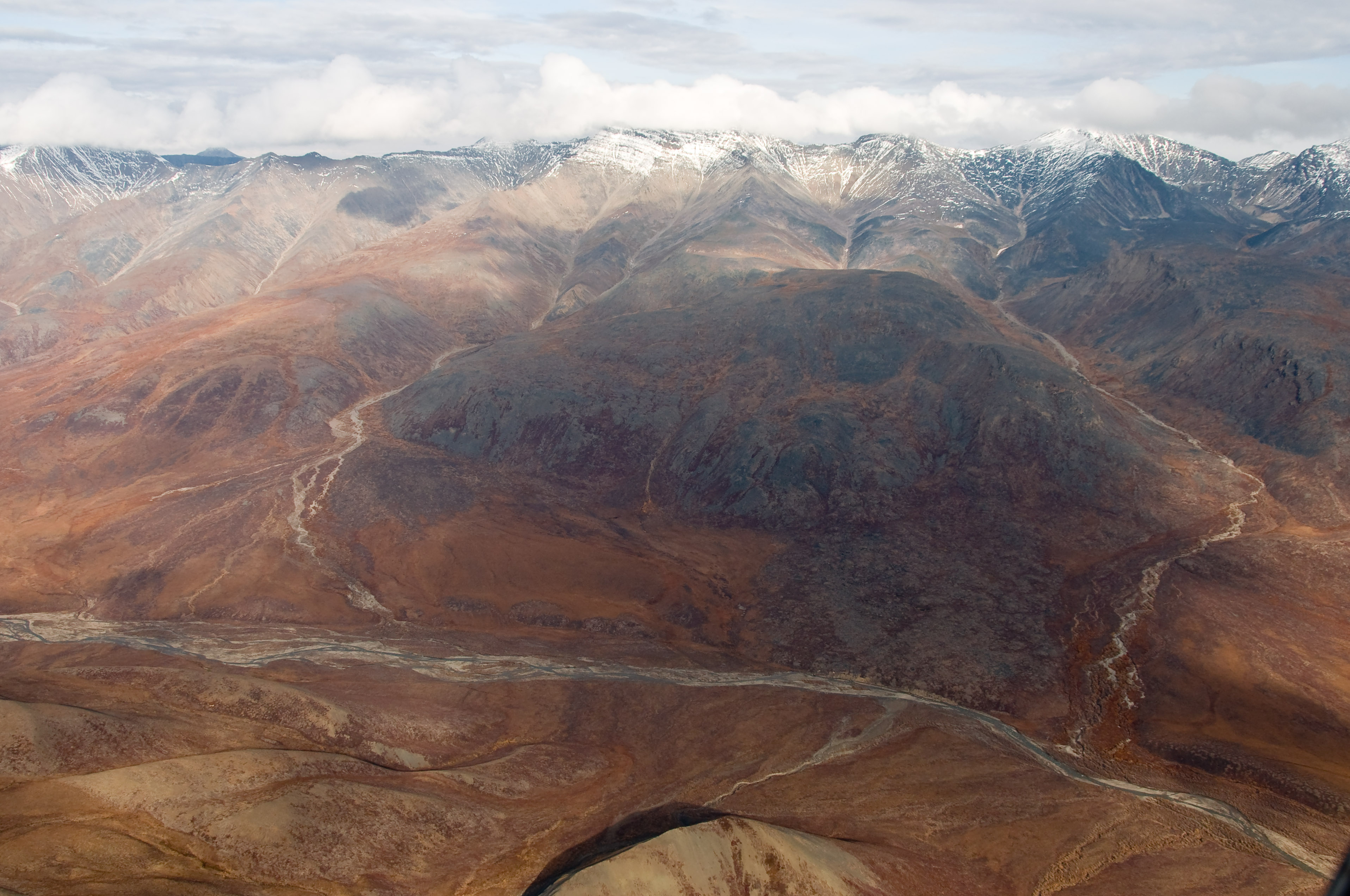
Related Photos:
_D3C1299.jpg
_D3C1319.jpg

_D3C1311.jpg
_D3C1298.jpg
_D3C1329.jpg
_D3C1331.jpg
_D3C1341.jpg
_D3C1296.jpg
_D3C0624.jpg
_D3C1326.jpg
_D3C1297.jpg
_D3C1304.jpg
_D3C1340.jpg
_D3C1271.jpg
_D3C1328.jpg

_D3C1268.jpg
_D3C1266.jpg
_D3C0607.jpg
_D3C1291.jpg
_D3C1349.jpg
_D3C1316.jpg
_D3C0608.jpg
_D3C1355.jpg
_D3C0604.jpg
Topographic Map of Brooks Range, Alaska, USA
Find elevation by address:

Recent Searches:
- Elevation of Corso Fratelli Cairoli, 35, Macerata MC, Italy
- Elevation of Tallevast Rd, Sarasota, FL, USA
- Elevation of 4th St E, Sonoma, CA, USA
- Elevation of Black Hollow Rd, Pennsdale, PA, USA
- Elevation of Oakland Ave, Williamsport, PA, USA
- Elevation of Pedrógão Grande, Portugal
- Elevation of Klee Dr, Martinsburg, WV, USA
- Elevation of Via Roma, Pieranica CR, Italy
- Elevation of Tavkvetili Mountain, Georgia
- Elevation of Hartfords Bluff Cir, Mt Pleasant, SC, USA