Elevation of Brooks, MN, USA
Location: United States > Minnesota > Red Lake County >
Longitude: -96.002803
Latitude: 47.8148809
Elevation: 344m / 1129feet
Barometric Pressure: 97KPa
Elevation Map:
Satellite Map:
Related Photos:

Trail Turn (H54) Among the Wheat - Oklee, MN
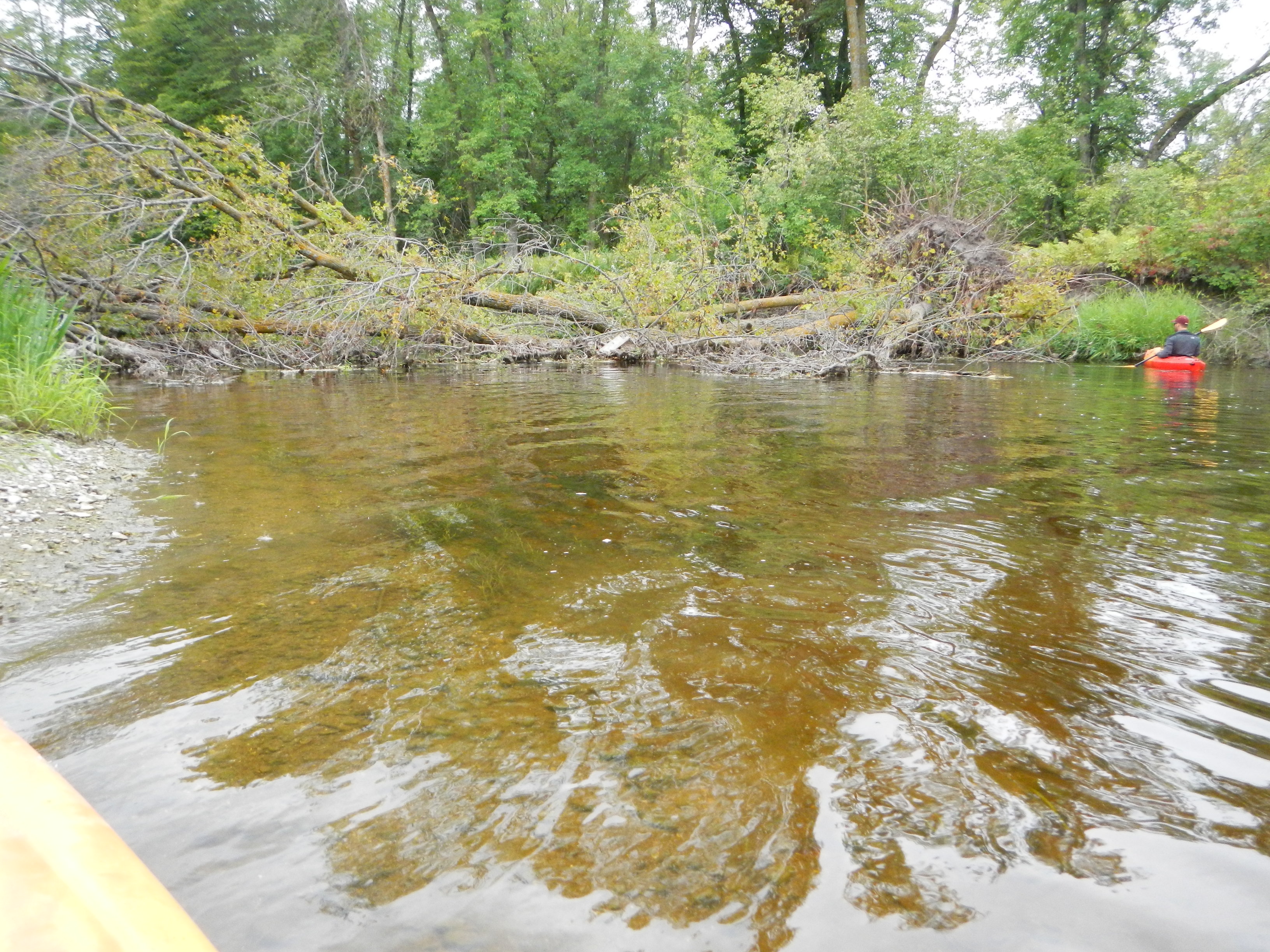
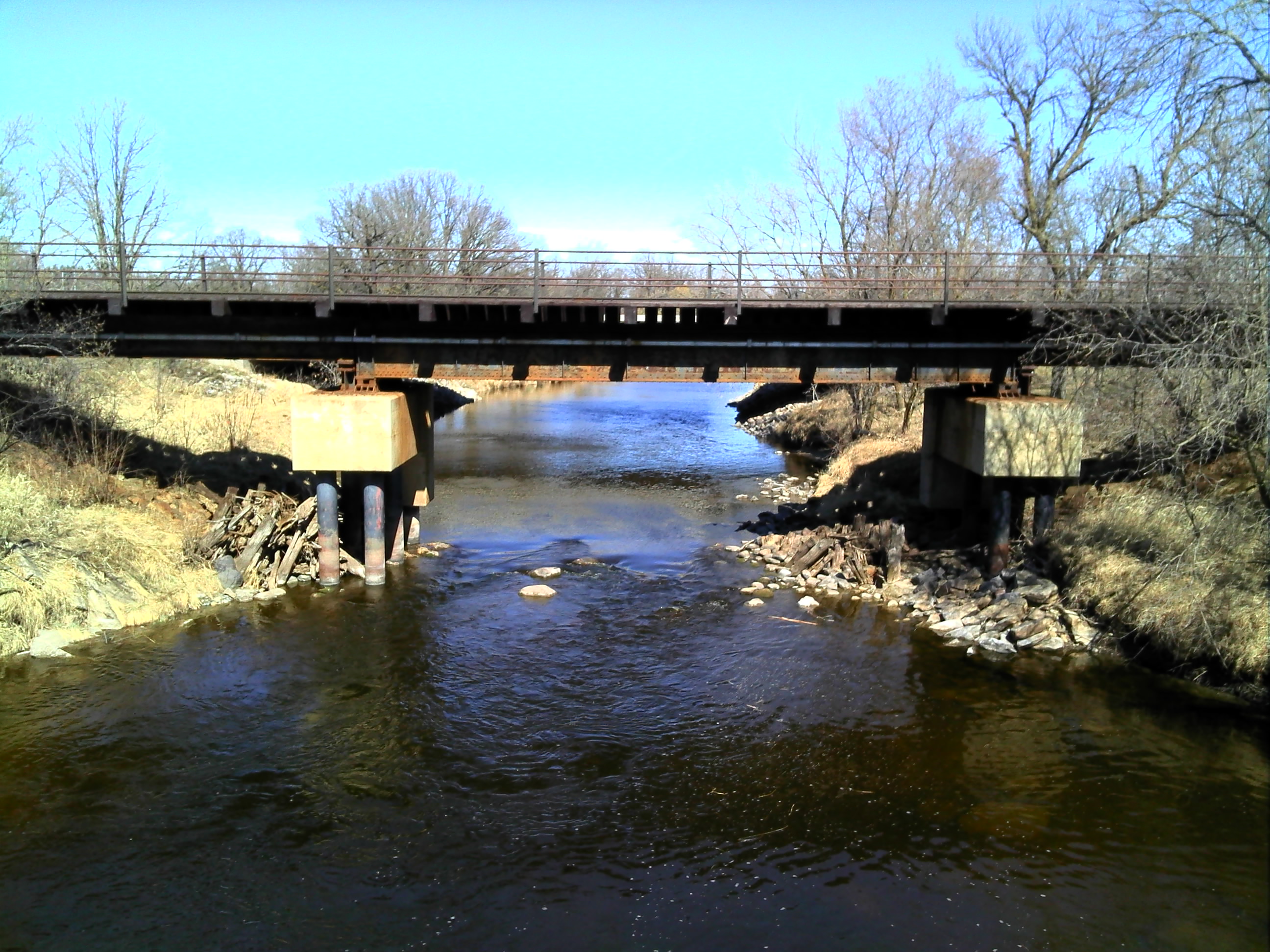
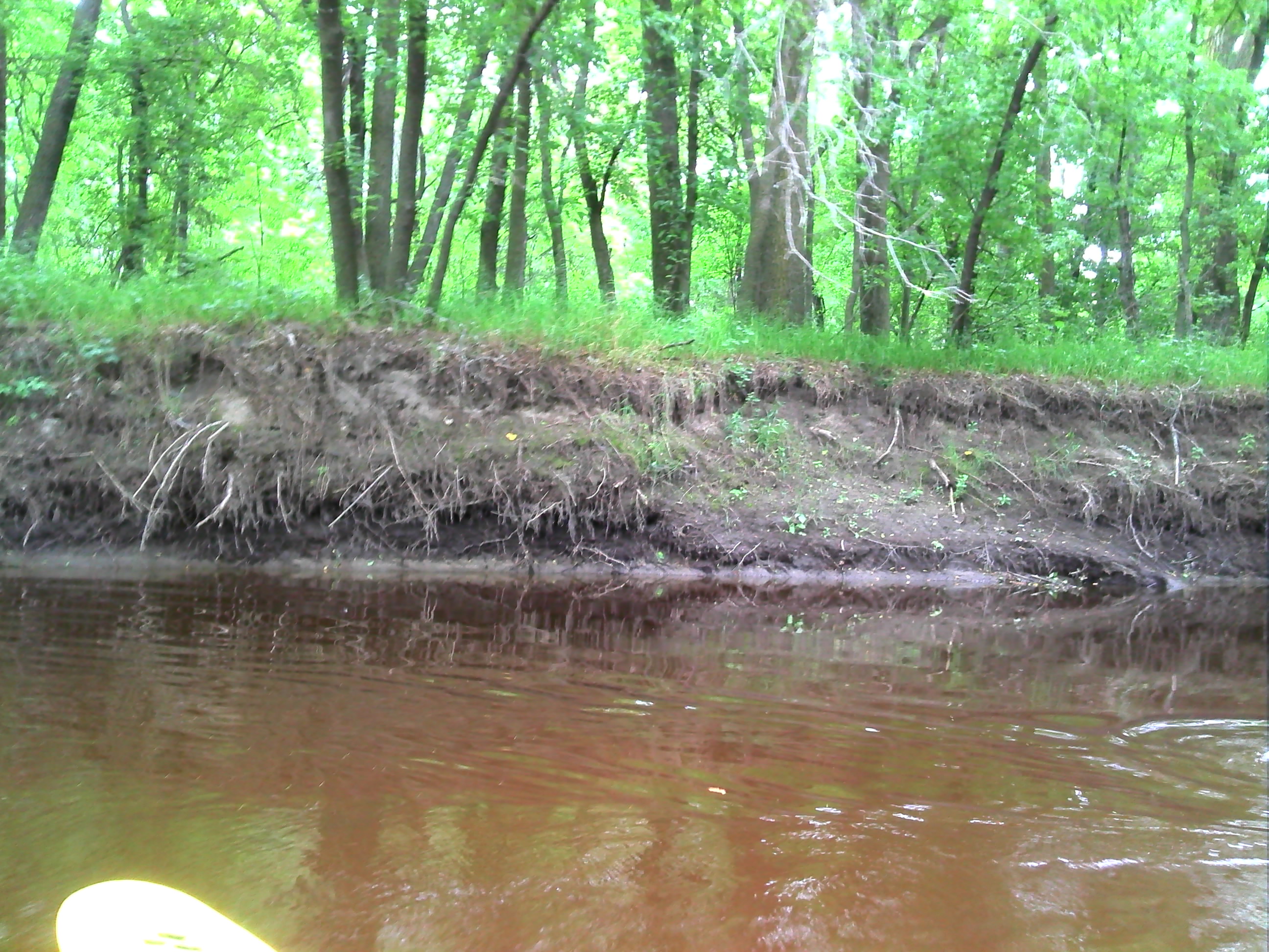
Tree Snag Across River
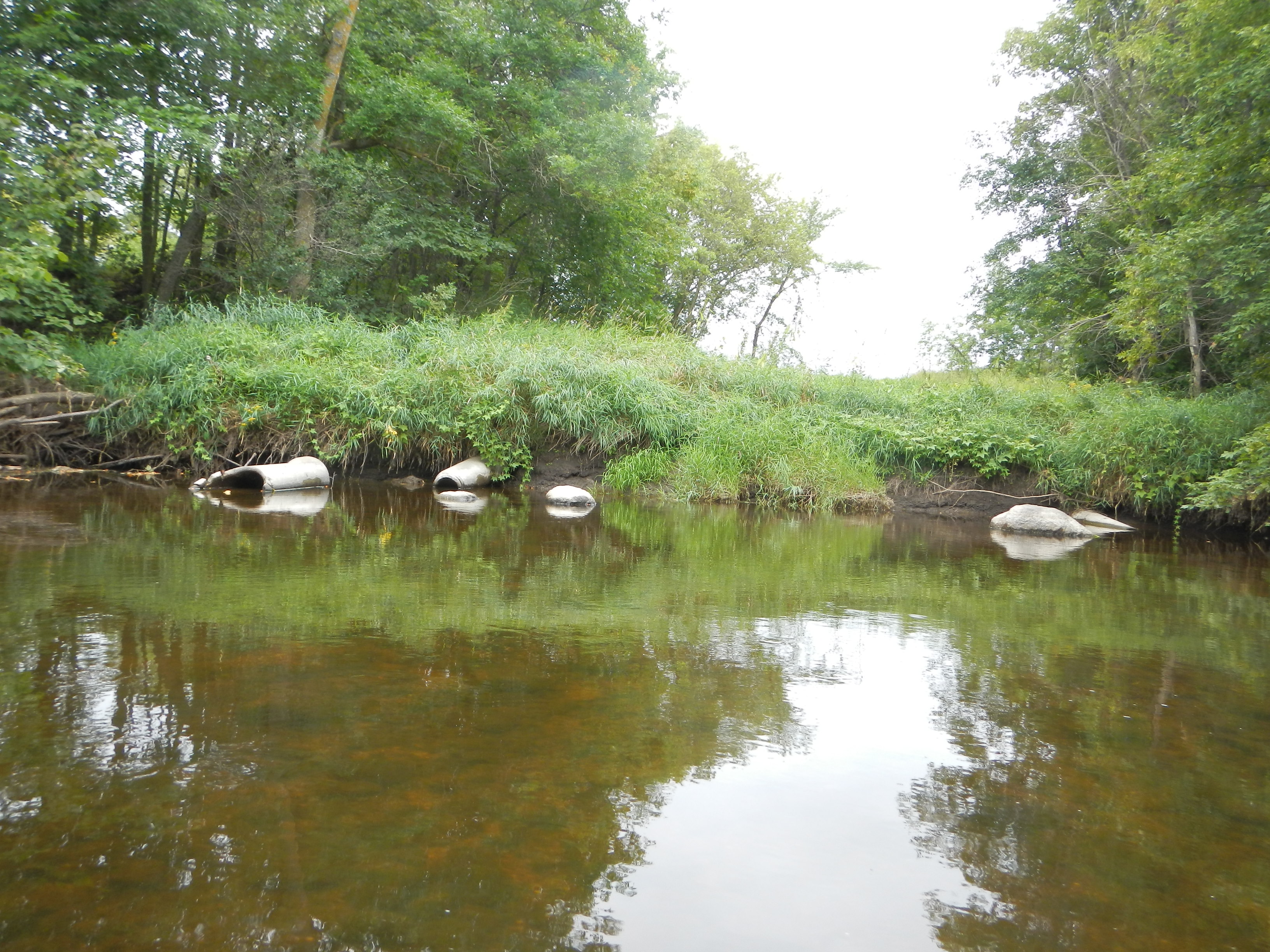
Old Pipes
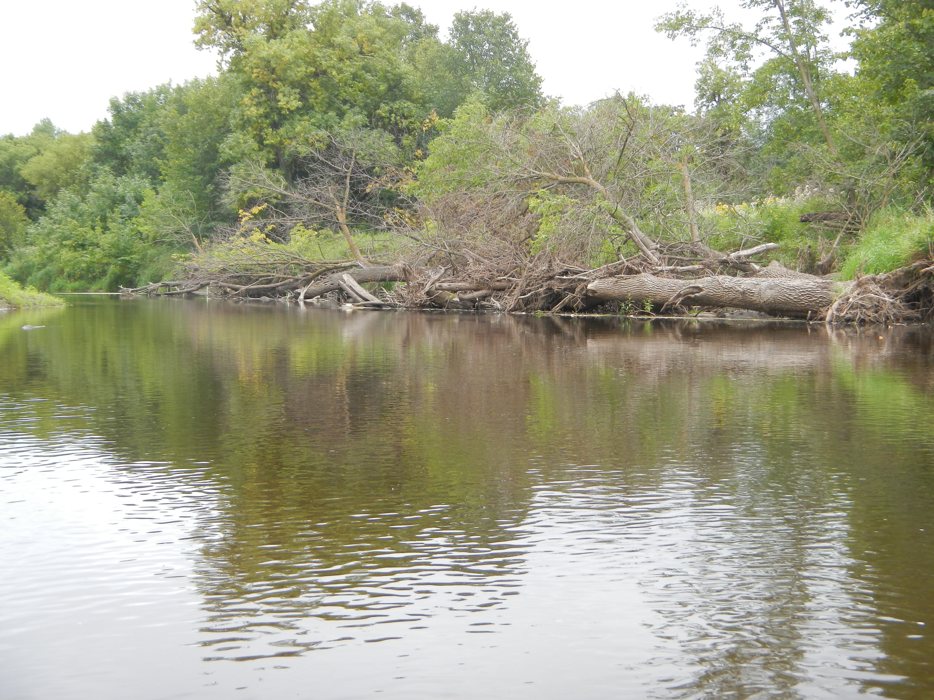
Downed Trees
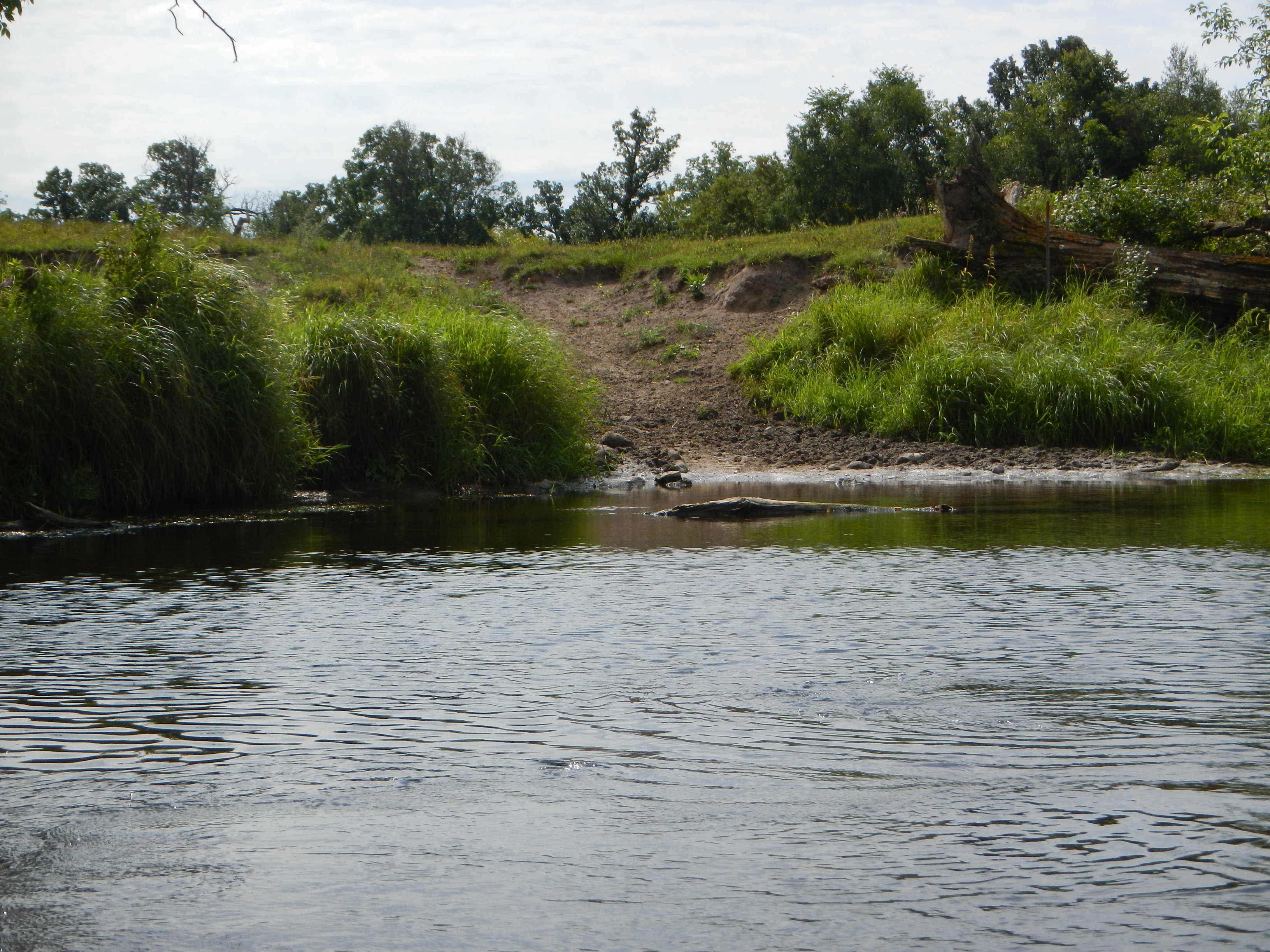
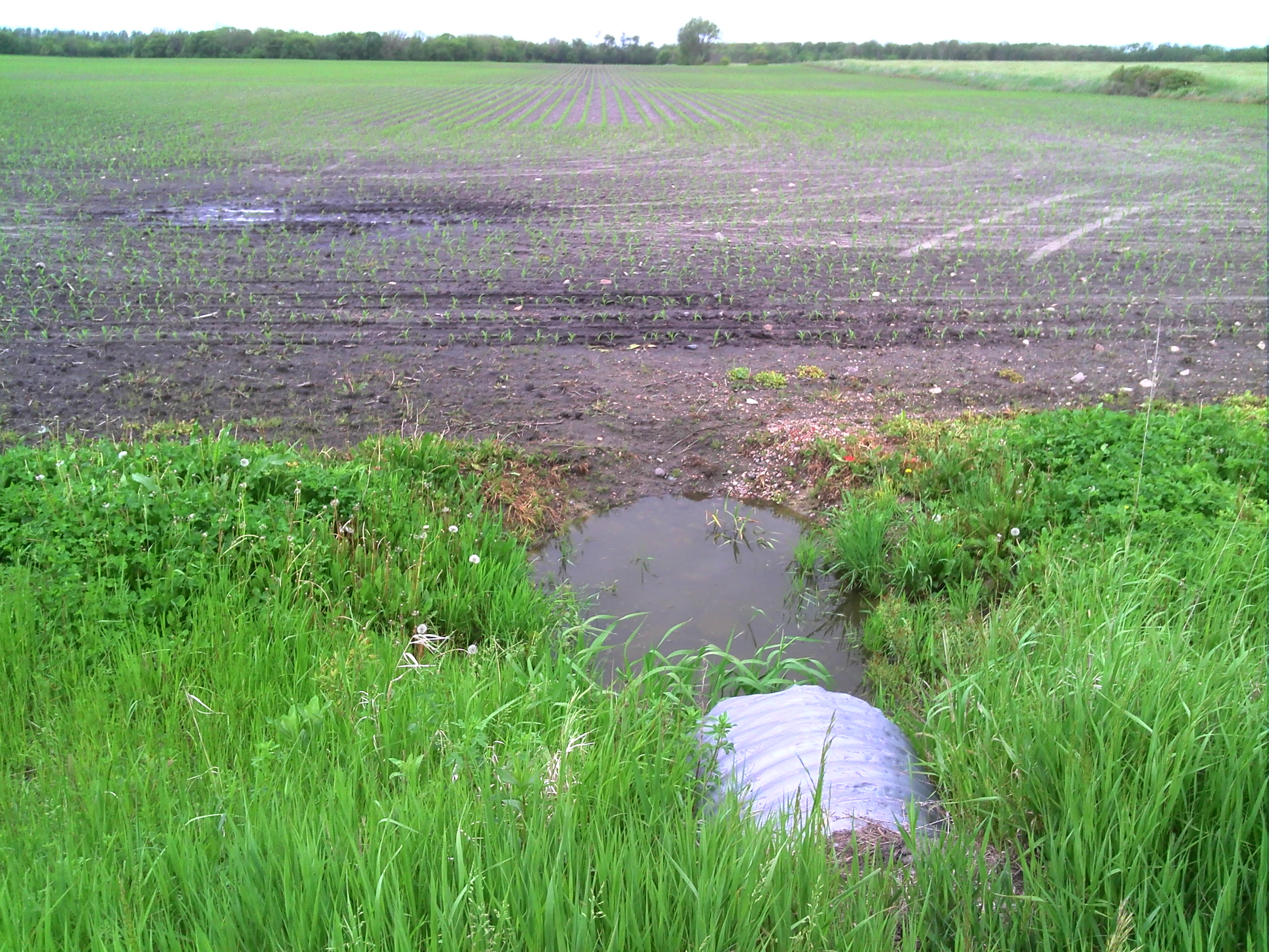
Cattle Access
GPS pictures 1386
GPS pictures 1394

GPS pictures 1395
GPS pictures 1399
GPS pictures 1397

GPS pictures 1389
GPS pictures 1383

GPS pictures 1499

GPS pictures 1200

GPS pictures 1145
GPS pictures 919
GPS pictures 915
GPS pictures 1006
GPS pictures 1132

GPS pictures 1141

GPS pictures 1142
Topographic Map of Brooks, MN, USA
Find elevation by address:

Places in Brooks, MN, USA:
Places near Brooks, MN, USA:
Minnesota Ave, Brooks, MN, USA
Emardville Township
Se200th Street
Co Rd 52, Plummer, MN, USA
Red Lake County
Co Rd 1, Oklee, MN, USA
Pennington County
2nd St SE, Red Lake Falls, MN, USA
Co Rd 3, Oklee, MN, USA
Evergreen St, Thief River Falls, MN, USA
3001 Sanford Parkway
Thief River Falls, MN, USA
201 Main Ave S
Thief River Falls
Goodridge
16081 Center Ave N
Goodridge Township
15115 229th St Ne
Excel Township
Lincoln Ave, Newfolden, MN, USA
Recent Searches:
- Elevation of Corso Fratelli Cairoli, 35, Macerata MC, Italy
- Elevation of Tallevast Rd, Sarasota, FL, USA
- Elevation of 4th St E, Sonoma, CA, USA
- Elevation of Black Hollow Rd, Pennsdale, PA, USA
- Elevation of Oakland Ave, Williamsport, PA, USA
- Elevation of Pedrógão Grande, Portugal
- Elevation of Klee Dr, Martinsburg, WV, USA
- Elevation of Via Roma, Pieranica CR, Italy
- Elevation of Tavkvetili Mountain, Georgia
- Elevation of Hartfords Bluff Cir, Mt Pleasant, SC, USA