Elevation of Brookland Rd, Allenview QLD, Australia

Location: Australia > Queensland > Scenic Rim Regional > Allenview >

Longitude: 152.930513

Latitude: -27.881208

Elevation: 52m / 171feet

Barometric Pressure: 101KPa

Elevation Map:

elevation map of Brookland Rd, Allenview QLD, Australia

Satellite Map:

Satellite map of Brookland Rd, Allenview QLD, Australia

Related Photos:

Sunset at Jimboomba
australia mtbarney mtjoyce mtlindesay qld queensland wyaralongdam xanthorrhoea bluesky bushwalk bushwalking clouds grasstree lake landscape reflection seqld trees water lakewyaralong
Mt Joyce - summit view
trees mountain clouds landscape rocks track rocky australia ridge trail bushwalking qld queensland bushwalk ipswich grasstrees 2015 xanthorrhoea bushwalkers volcanicdyke seqld flinderspeak flindersgoolmanconservationestate rhyolitepeak sonya7r
Flinders Peak view
landscape australianlandscape paperbarktrees outdoorbeauty slicesoftime afsnikkor70200mmf28gedvrii flickrstruereflection1 infinitexposure
Neighbours backyard revisited
scenicrimregion landscape winter australia morning clouds hinterland trees queensland tabragalba オーストラリア
Refrshing air
morning red sky sun reflection water grass sunrise landscape landscapes dam australia queensland 2470mm beaudesert gleneagle scenicrim colorphotoaward canon7d
... foggy pond ...
sunset sky clouds landscape countryside sundown australia queensland cloudscape sequeensland ruralaustralia loganvalley bromelton mountjuberra
sunset, Mount Juberra
butterfly familynymphalidae lesserwandererbutterfly danauspetilia jimboombaqld
Lesser Wanderer Butterfly
australia ants seqld subfamilydolichoderinae familyformicidae redspiderant leptomyrmexrufipes
Red Spider Ants
Pacific National 3AB6 running 7-8hrs late through Bromelton on Good Friday
Dawn over Queensland
2015 australia flinderspeak mountain qld queensland sonya7r xanthorrhoea bushwalk bushwalking clouds grasstrees rocks rocky seqld trees flindersgoolmanconservationestate landscape rhyolitepeak volcanicplug geology crepuscularrays
Flinders Peak with sun
trees mountain clouds sunrise landscape rocks rocky australia bushwalking qld queensland bushwalk backlighting 2015 seqld flinderspeak bushwalker flindersgoolmanconservationestate sonya7r
Surrounded by light
trees mountain clouds landscape rocky australia ridge bushwalking qld queensland bushwalk ipswich grasstrees 2015 xanthorrhoea seqld flinderspeak flindersgoolmanconservationestate rhyolitepeak sonya7r
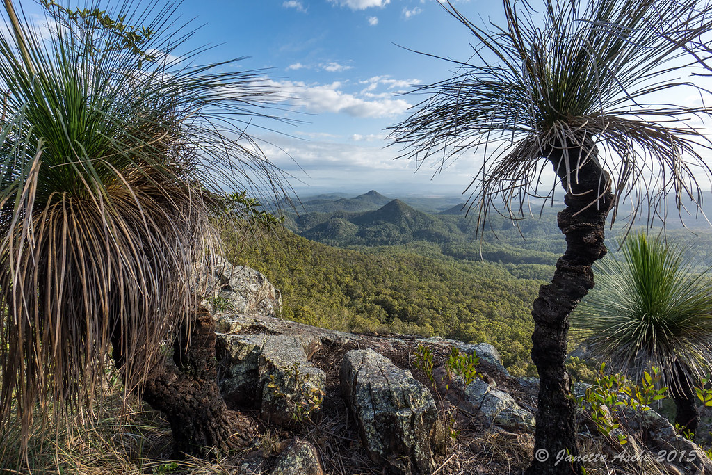
Grass trees lookout on Flinders Park
trees sunset skyline clouds landscape countryside sundown horizon australia ridge queensland cloudscape sequeensland loganvalley allancreek
near Allan Creek
blinkagain
Heading home
dam wyaralongdam scenicrim southeastqueensland boonah beaudesert boonahbeaudesertroad storm blackclouds clouds panorama msice msicepanorama pano
Storm over Wyaralong Dam off the Boonah-Beauderst Rd, Scenic Rim, South East Queensland
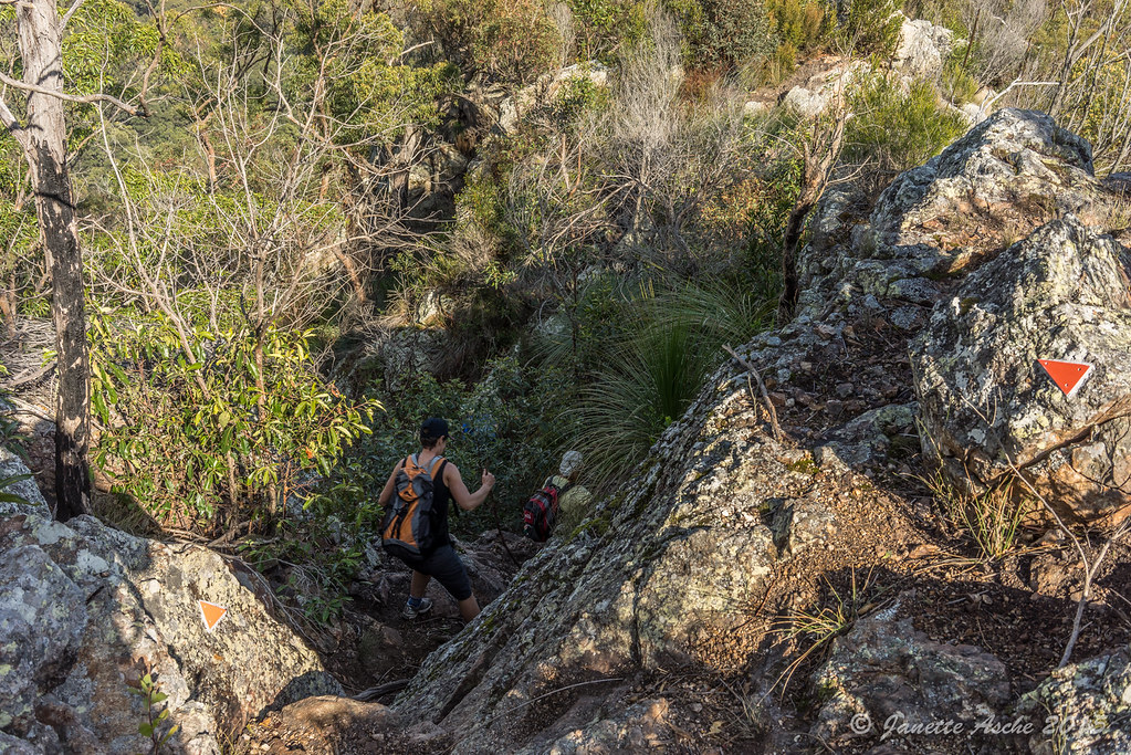
trees mountain clouds landscape rocks track rocky australia ridge trail bushwalking qld queensland bushwalk ipswich grasstrees 2015 xanthorrhoea bushwalkers seqld flinderspeak flindersgoolmanconservationestate sonya7r
Follow the arrows
trees mountain clouds landscape rocks rocky australia ridge bushwalking qld queensland bushwalk ipswich grasstrees volcanicplug 2015 xanthorrhoea seqld flinderspeak flindersgoolmanconservationestate sonya7r
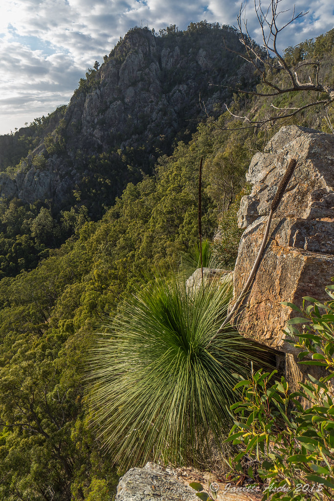
Flinders Peak and Xanthorrhoea
trees mountain clouds plaque landscape rocks track rocky australia ridge trail bushwalking qld queensland geology bushwalk ipswich pinnacle grasstrees volcanicplug 2015 xanthorrhoea bushwalkers seqld flinderspeak flindersgoolmanconservationestate rhyolitepeak sonya7r
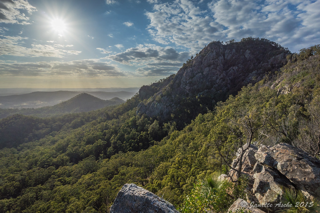
Pinnacle off Flinders Peak
fog australia seqld floodedarea
Friday 31st July 2015