Elevation of Bringle Ferry Rd, Richfield, NC, USA
Location: United States > North Carolina > Rowan County > Morgan >
Longitude: -80.248445
Latitude: 35.5870649
Elevation: 196m / 643feet
Barometric Pressure: 99KPa
Elevation Map:
Satellite Map:
Related Photos:

Quiet Station

Uwharrie Scenic Road

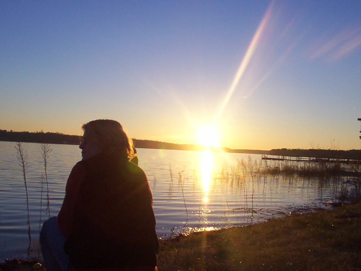
Sunset at High Rock Lake

Just sittin' there
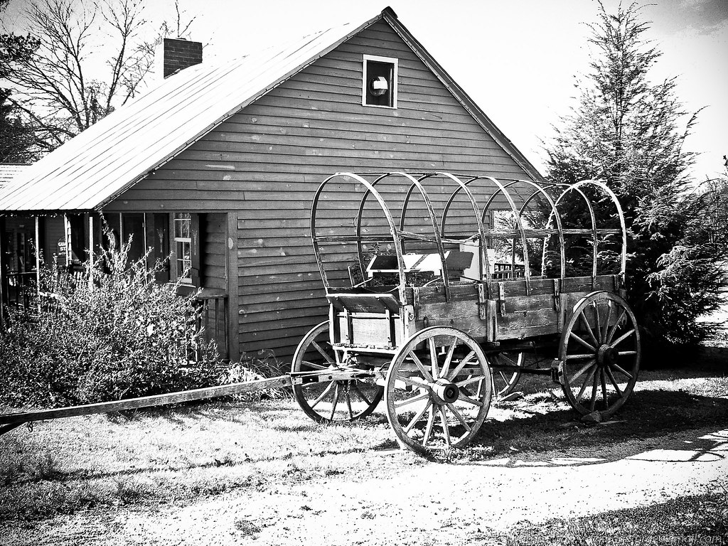
End of the Trail //

View of the Lake House from the Water

The last fisherman

2496 The 19th Century View from the Miller Shaft Img_20653

View up front
Enjoying the View...

View of the altar and Christmas tree

The Pond at the Farm

Dan Nicholas Park 2010

Dan Nicholas Park 2010

High Rock Lake

Dan Nicholas Park 2010

Morning Paddleboard

Daffodil Field-Color

Barringer's Farm

Barringer's Farm

Sunset on High Rock Lake

#LakeLife with @meganyb613

Sunset on High Rock Lake

Sunset on High Rock Lake

Daffodil Field 3

Sunset on High Rock Lake

Sunset on High Rock Lake

Sunset on High Rock Lake

Daffodil Field
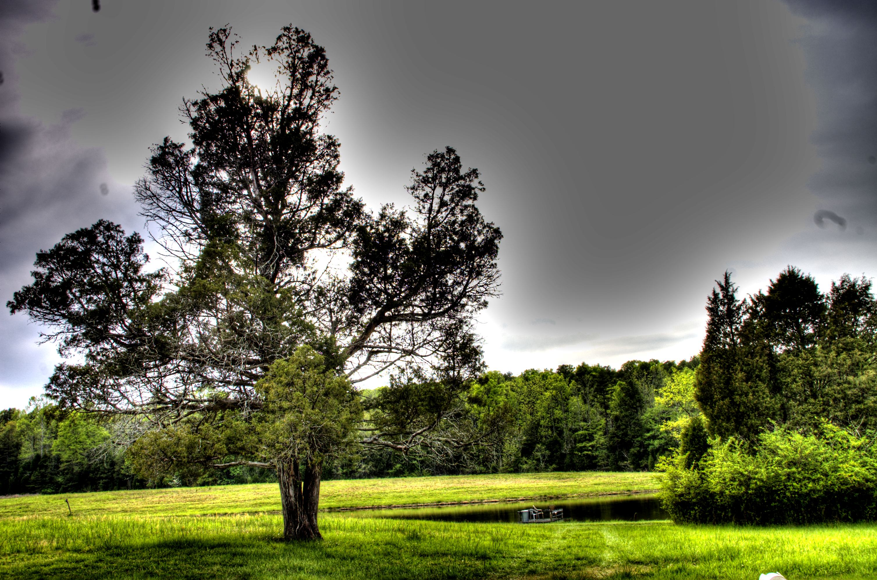
Cedar Tree by Lake in HDR

Daffodil Field 5

Daffodil Field 2
Topographic Map of Bringle Ferry Rd, Richfield, NC, USA
Find elevation by address:

Places near Bringle Ferry Rd, Richfield, NC, USA:
Tanner Road
599 Tanner Rd
680 Tanner Rd
222 Tor Ct
1361 Sierra Trace Rd
Healing Spring
Morgan
Bringle Ferry Road
13258 Linwood-southmont Rd
351 Cress Rd
1175 Old Volkswagen Pl
Bringle Ferry Rd, Salisbury, NC, USA
780 Cedar Branch Rd
Providence
Doby Dr, Gold Hill, NC, USA
625 St Peters Church Rd
602 Rothrock Rd
230 Williams Dr
Rockwell
US-52, Rockwell, NC, USA
Recent Searches:
- Elevation of Corso Fratelli Cairoli, 35, Macerata MC, Italy
- Elevation of Tallevast Rd, Sarasota, FL, USA
- Elevation of 4th St E, Sonoma, CA, USA
- Elevation of Black Hollow Rd, Pennsdale, PA, USA
- Elevation of Oakland Ave, Williamsport, PA, USA
- Elevation of Pedrógão Grande, Portugal
- Elevation of Klee Dr, Martinsburg, WV, USA
- Elevation of Via Roma, Pieranica CR, Italy
- Elevation of Tavkvetili Mountain, Georgia
- Elevation of Hartfords Bluff Cir, Mt Pleasant, SC, USA