Elevation of Bridges Long Mynd, Ratlinghope, Shrewsbury SY5 0SP, UK
Location: United Kingdom > England > Shropshire > Ratlinghope >
Longitude: -2.8955096
Latitude: 52.5630747
Elevation: 268m / 879feet
Barometric Pressure: 98KPa
Elevation Map:
Satellite Map:
Related Photos:

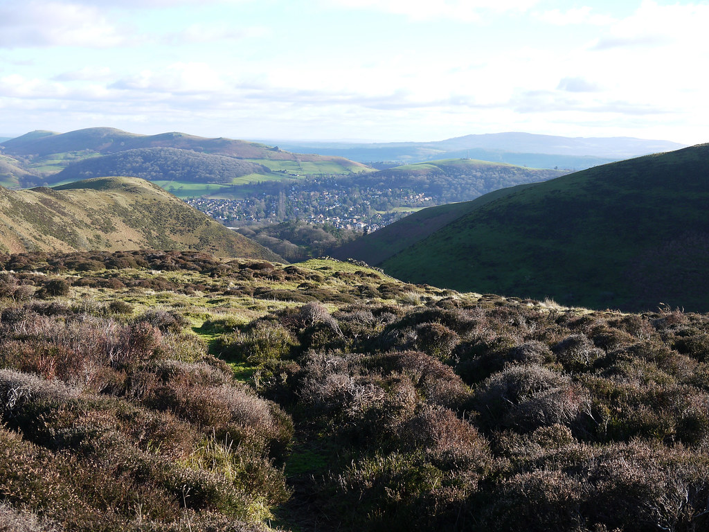
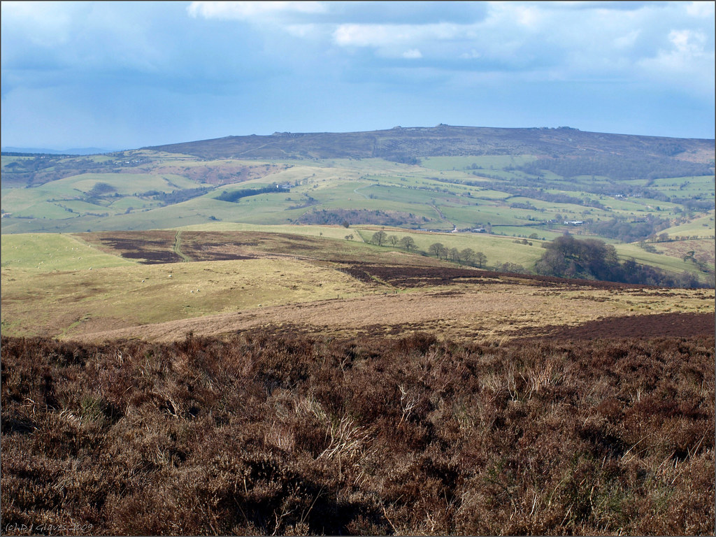
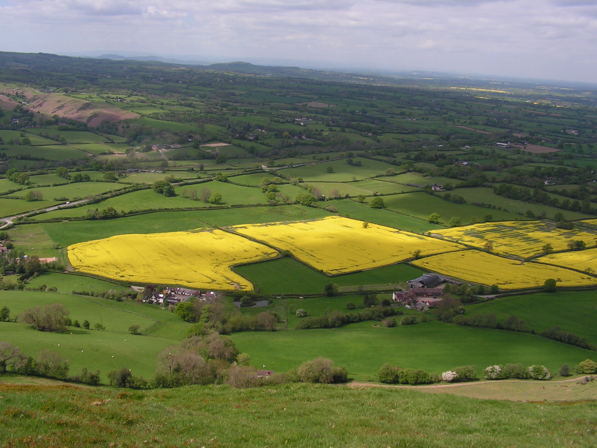
View from Stiperstones, Shropshire

Corndon Hill Trig Point. (Explore)
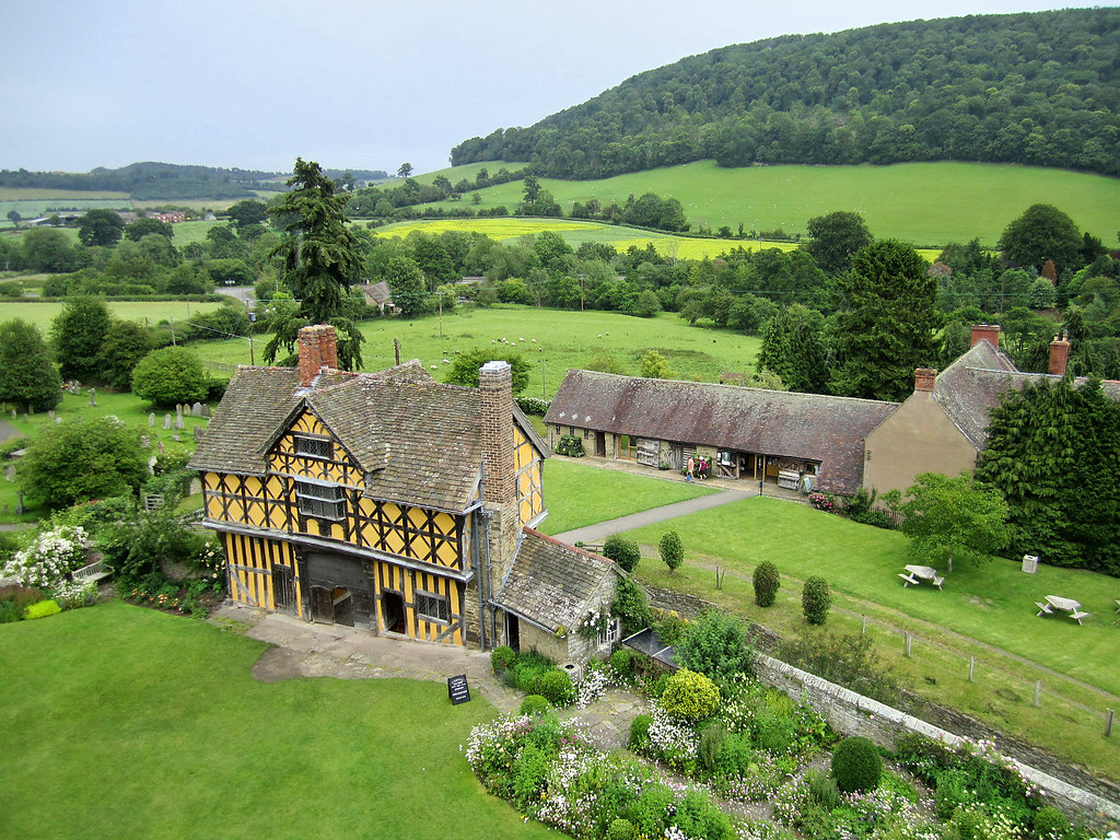
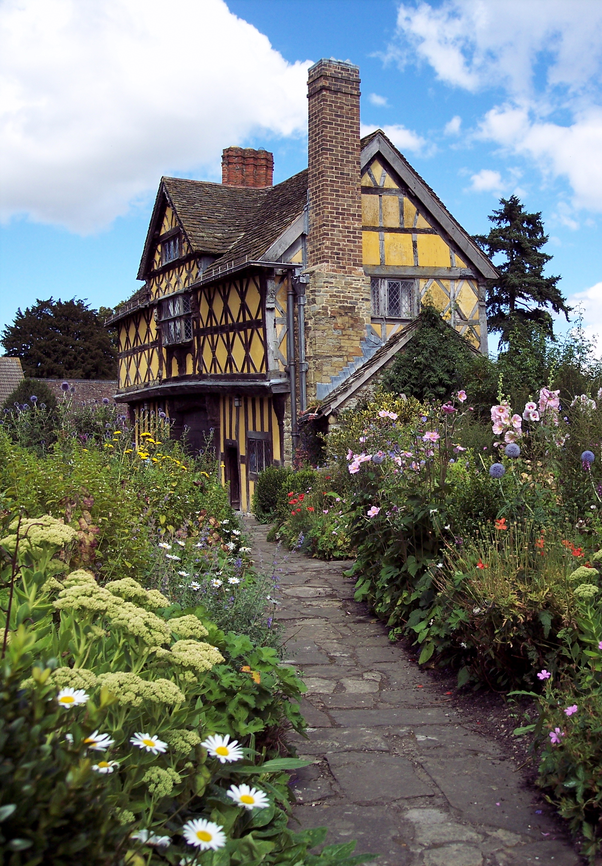
Stokesay Castle gatehouse and countryside, Shropshire
Country Retreat
Church Stretton
GWUK - View from The Long Mynd, Asterton, Shropshire

Bubble eyed view
Stokesay - Storm Approaching
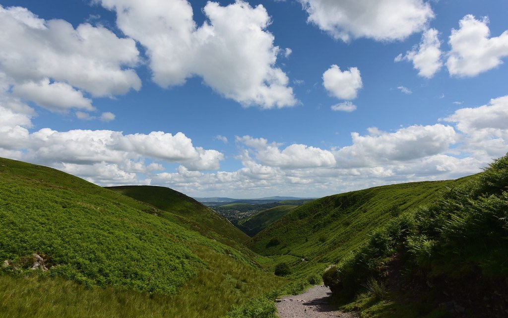
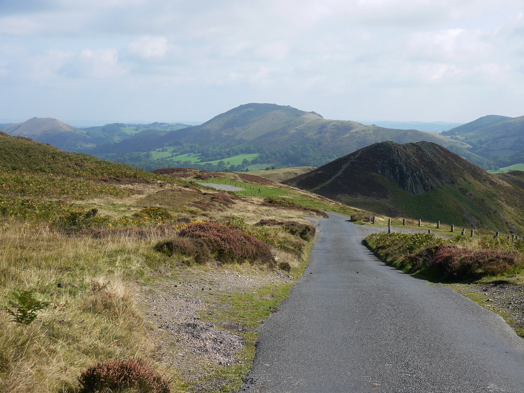
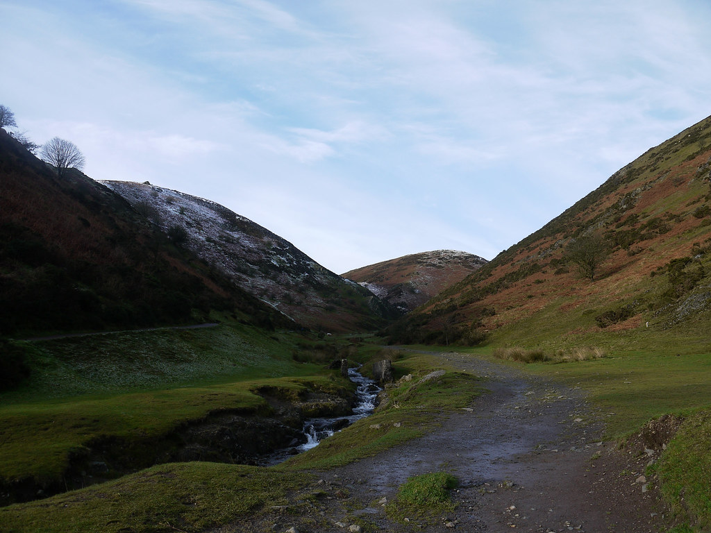
Ascending Long Mynd
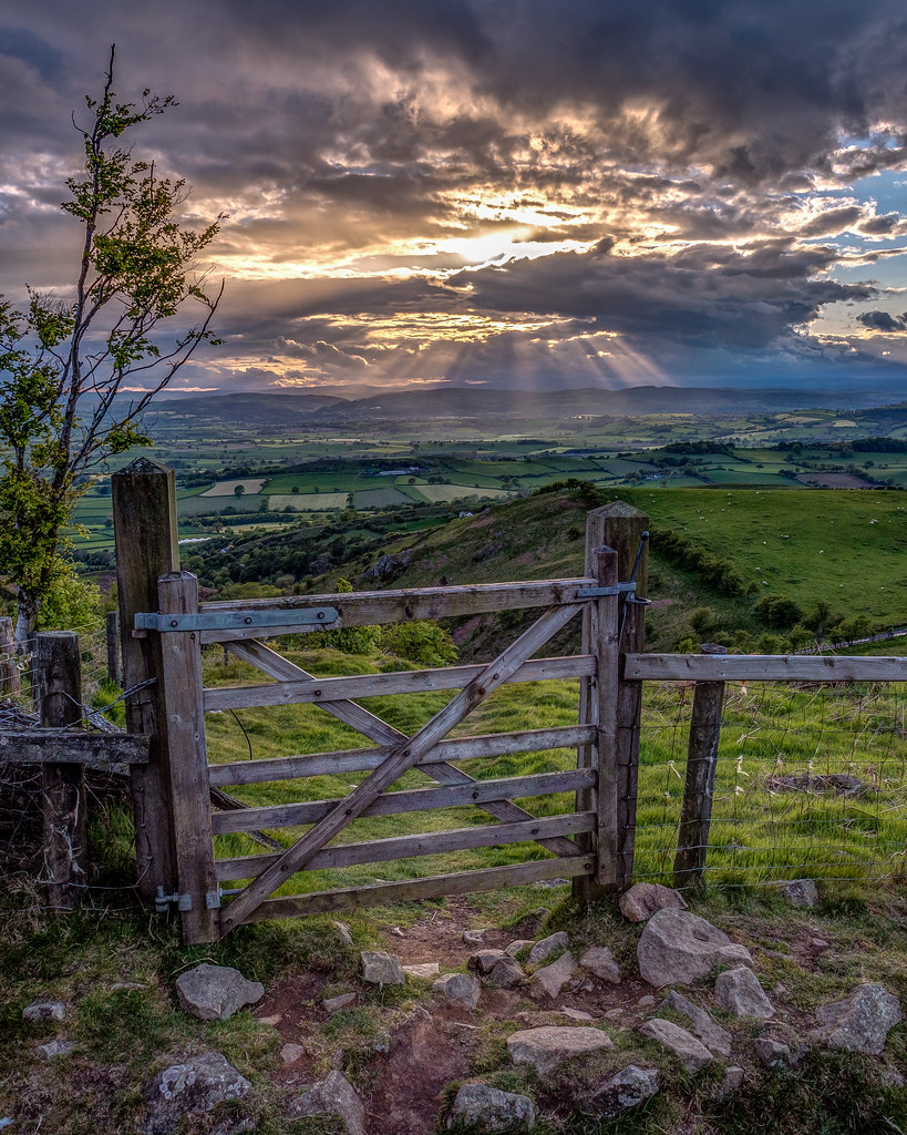
View through the gate, Mid Wales
South Shropshire Hills: view below Bury Ditches
Panorama of view to Minton
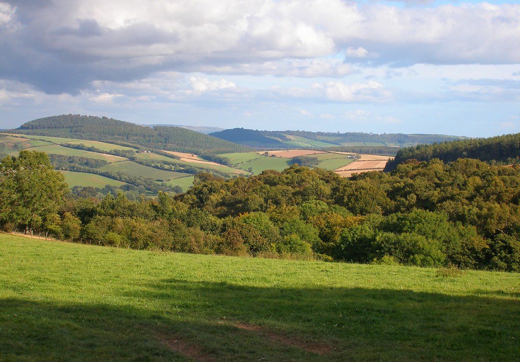
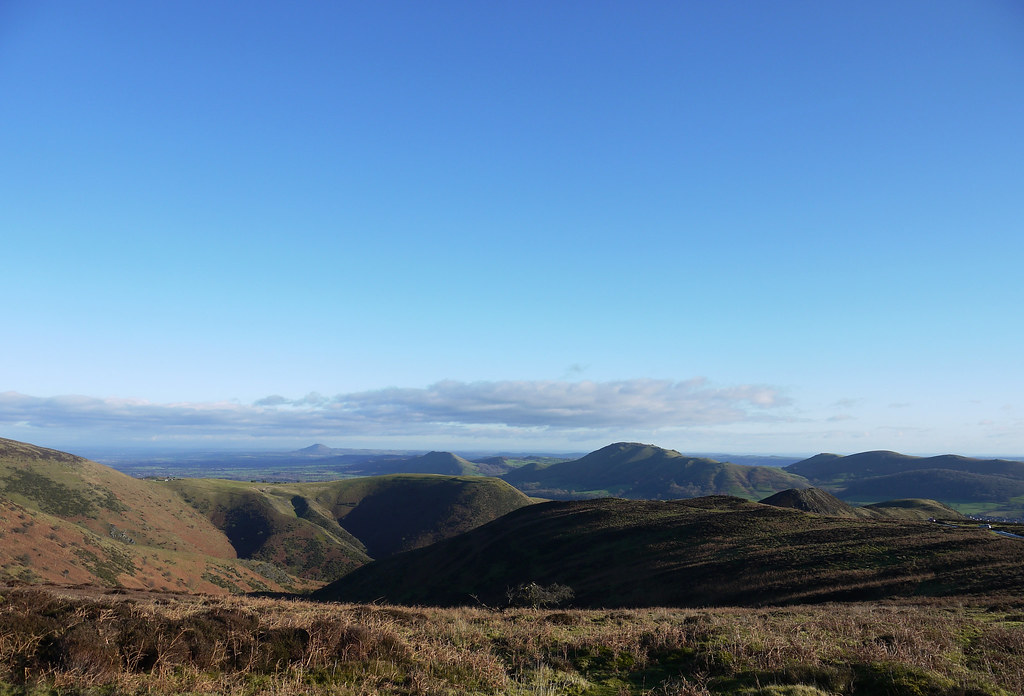
The Shropshire Hills
Up the garden path
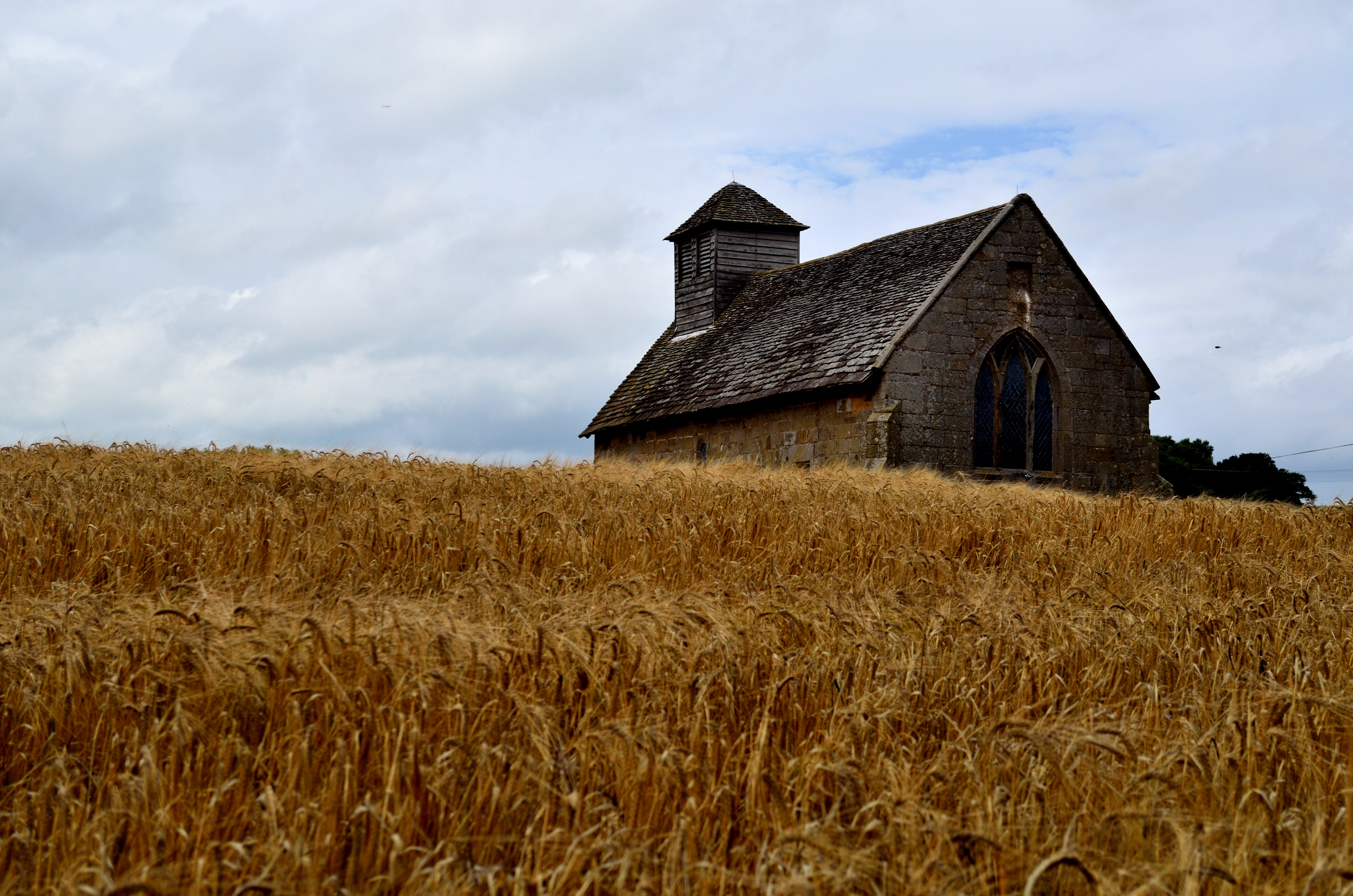
Langley Chapel, Shropshire
PICT0028 View west from Caer Caradoc Hill, Shropshire

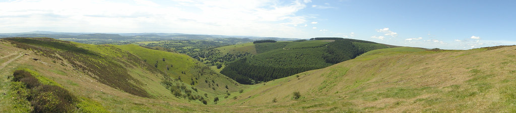
Shropshire hills Panorama

View to the hills
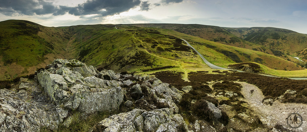
The Bur Way
Hills And Dales

A View From The Long Mynd
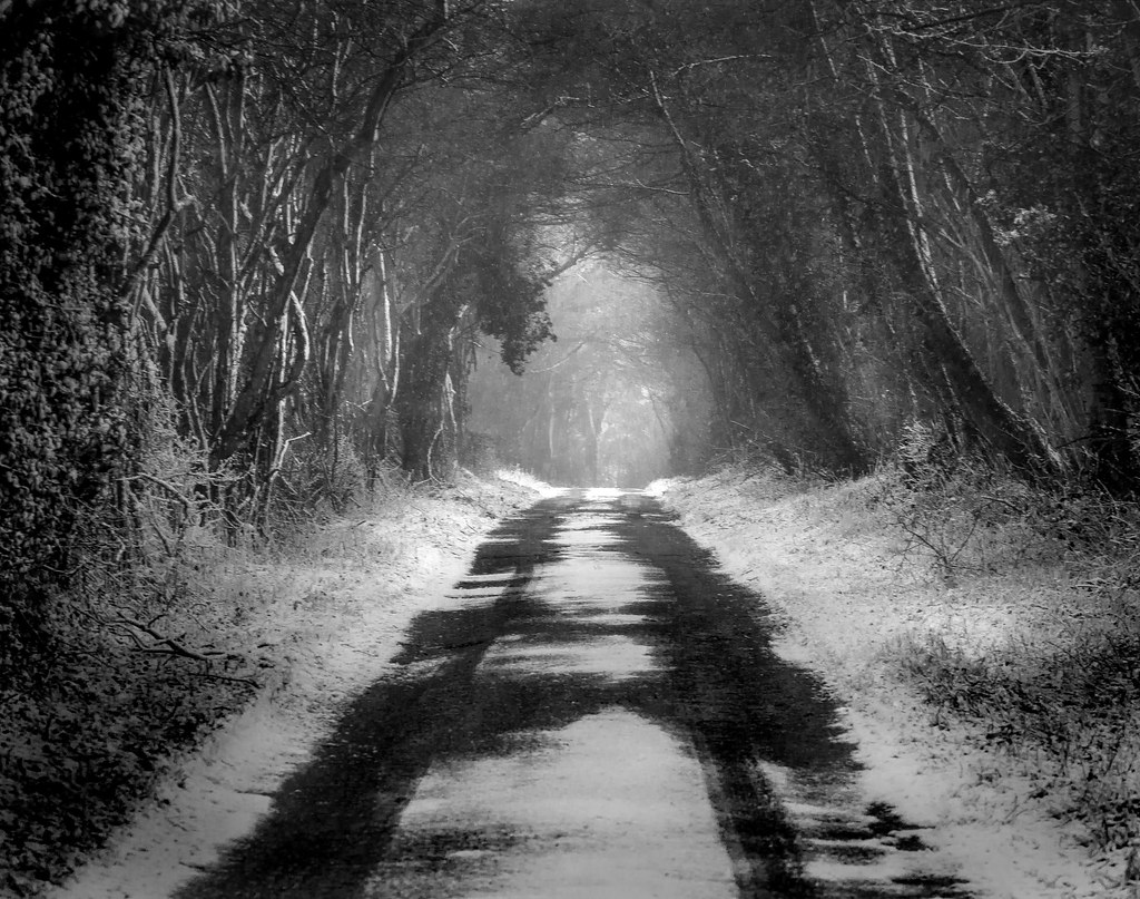
A dark winters day....

Study in Scenery
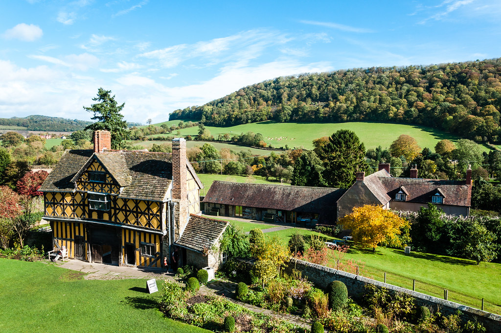
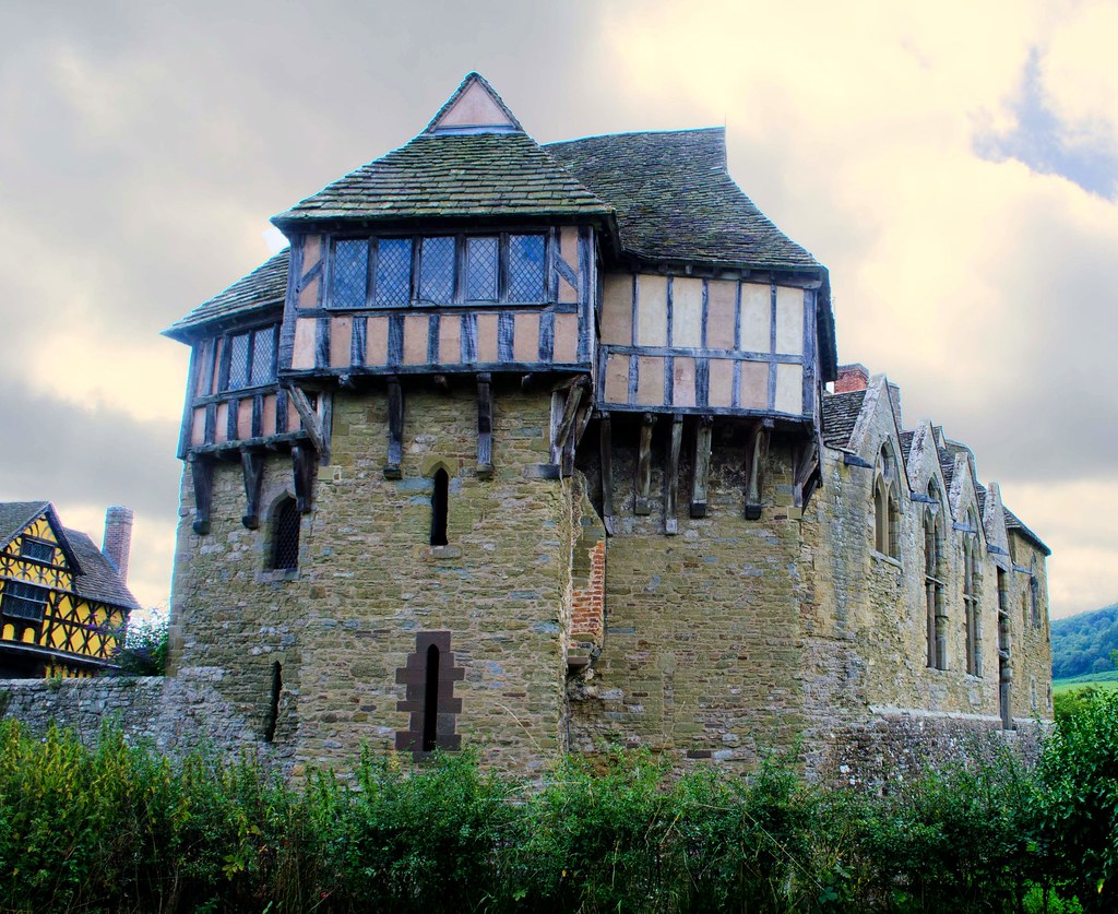
Stokesay Castle
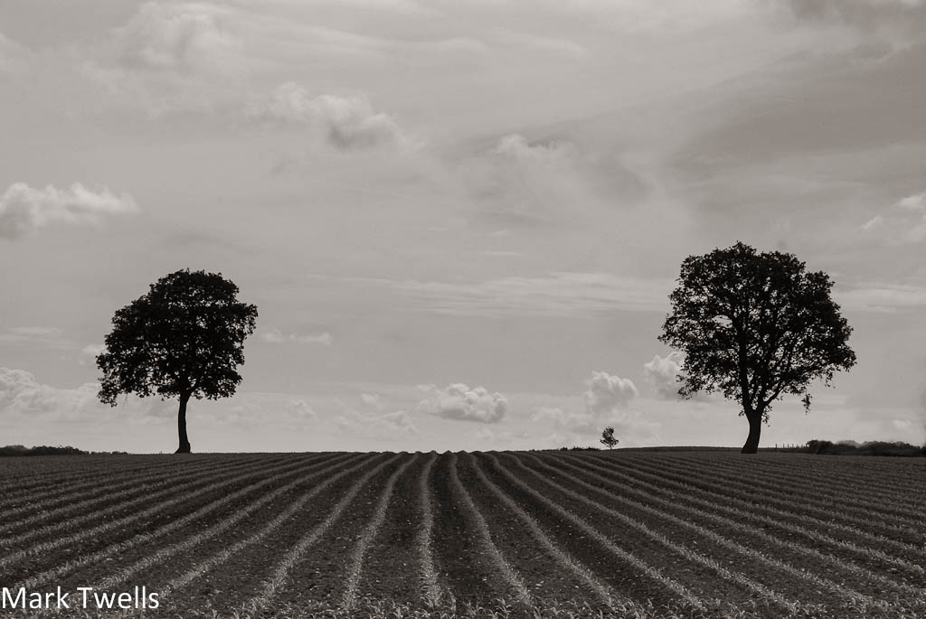
Three Trees
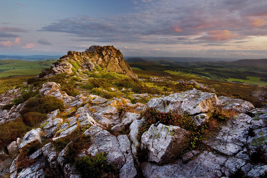
THE DEVILS CHAIR

A Lonely Life
The Shropshire Hills

Stiperstones sunset

Stokesay Castle

THALICTRUM delavayi

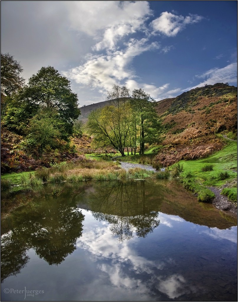
The Path Up Carding Mill Valley
Frost In Carding Mill Valley
Just a nice place to be...
Topographic Map of Bridges Long Mynd, Ratlinghope, Shrewsbury SY5 0SP, UK
Find elevation by address:

Places near Bridges Long Mynd, Ratlinghope, Shrewsbury SY5 0SP, UK:
Ratlinghope
Stiperstones
The Bog
Sy5 0ns
Stiperstones
Sy5 0nj
Unnamed Road
Earl's Hill
Plox Green Road
Sy5 0el
Sy5 0uh
Pontesbury Hill
Sy5 0au
7 Pontesford Hill
Minsterley
Pontesbury
Sy5 0uy
Plealey
Sy5 0hj
White Grit
Recent Searches:
- Elevation of Corso Fratelli Cairoli, 35, Macerata MC, Italy
- Elevation of Tallevast Rd, Sarasota, FL, USA
- Elevation of 4th St E, Sonoma, CA, USA
- Elevation of Black Hollow Rd, Pennsdale, PA, USA
- Elevation of Oakland Ave, Williamsport, PA, USA
- Elevation of Pedrógão Grande, Portugal
- Elevation of Klee Dr, Martinsburg, WV, USA
- Elevation of Via Roma, Pieranica CR, Italy
- Elevation of Tavkvetili Mountain, Georgia
- Elevation of Hartfords Bluff Cir, Mt Pleasant, SC, USA