Elevation of Brewster, MA, USA
Location: United States > Massachusetts > Barnstable County > Brewster Town >
Longitude: -70.082790
Latitude: 41.7600902
Elevation: 9m / 30feet
Barometric Pressure: 101KPa
Elevation Map:
Satellite Map:
Related Photos:

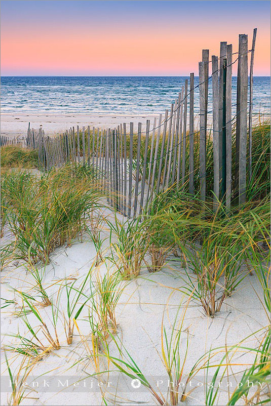
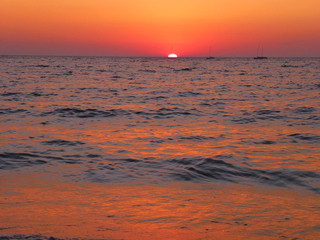
Sunset View from the Chairs II
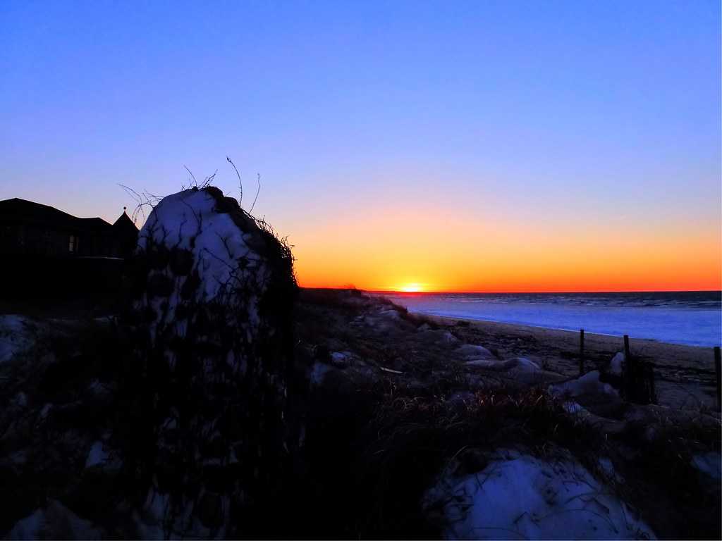
Sunrise Cape Cod - Massachusetts

Nauset Light - Eastham - Cape Cod

Bass River Sunset (Cape Cod)

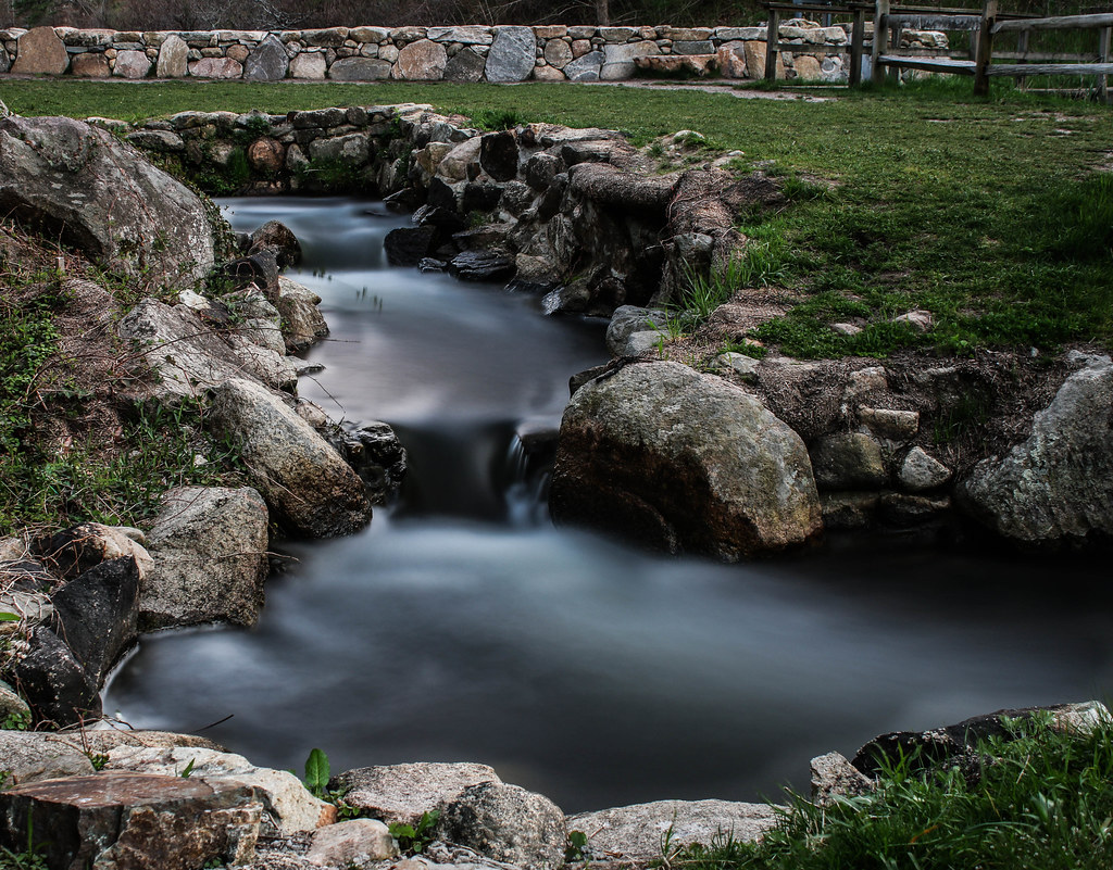
Mill Pond
Linger By The Beach - Explored 3/6/13
Linger View

Marsh View at Sunset

Beach View

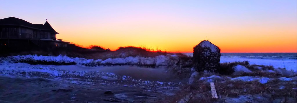
Sunset By The Dunes
Linger By The Shore
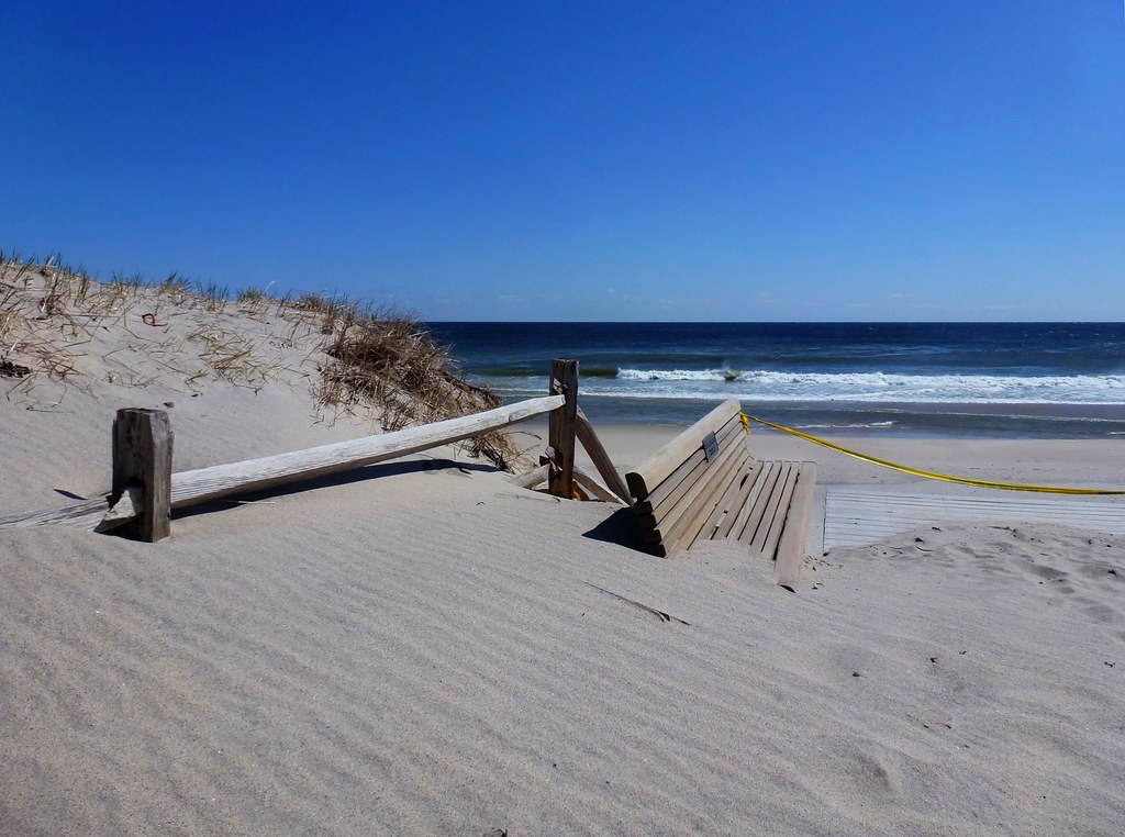
Sand Covered

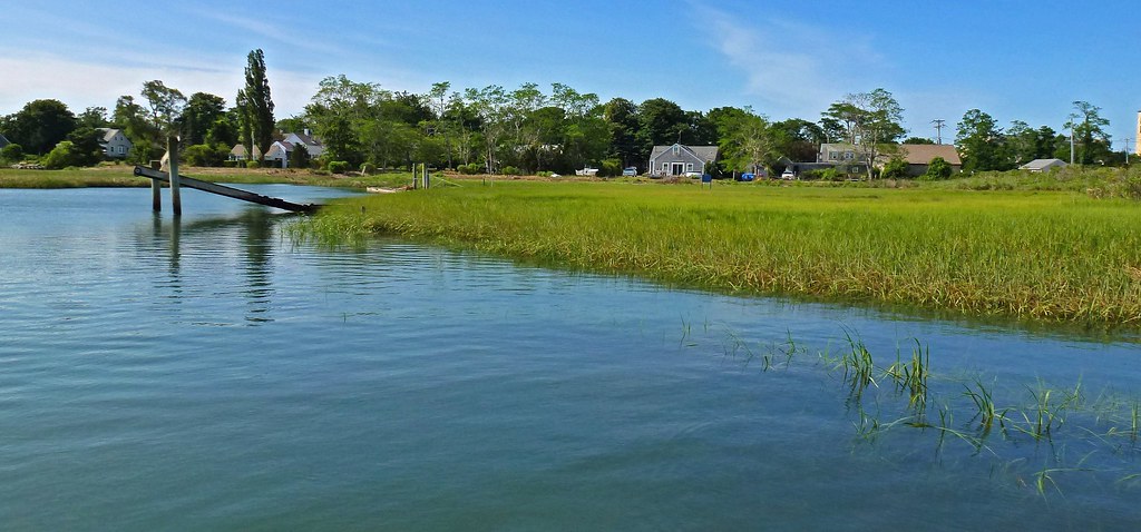
View from the backyard

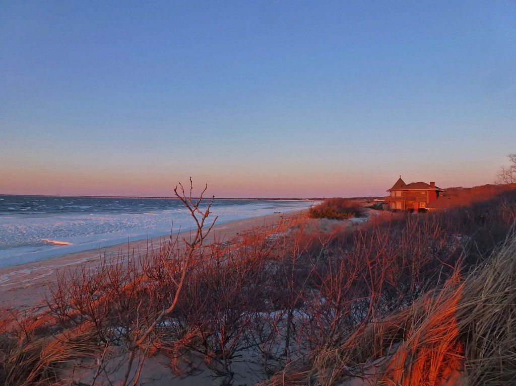
Sunset Beach View
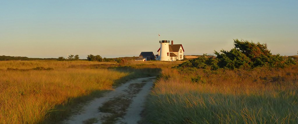
The Path to Stage Harbor Lighthouse
Rock Harbor View

Walk The Pier To The Fog

Storm Damage
Rock Harbor View
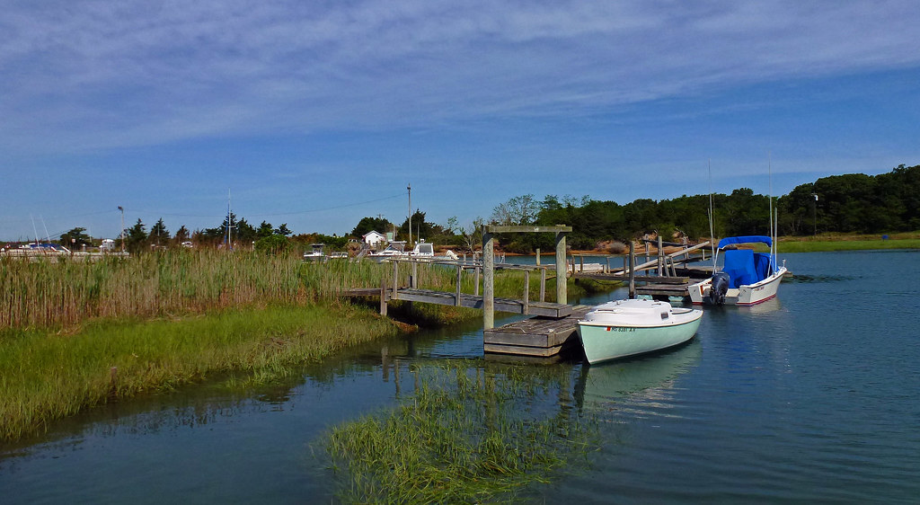
Stage Harbor Channel

Fog With A Bit Of Color

Brewster Grist Mill Cape Cod

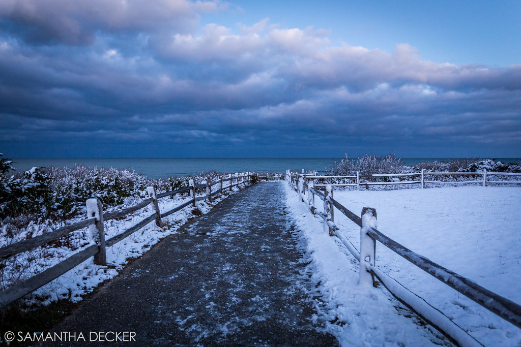
Winter Shoreline - Explored 3-5-13

Cape Cod

Rock Harbor Silhouette

Windstorm Shadows

Fisherman's Catch
Gone Part I
Green Grass Blue Sky

Trotting Down The Beach
Over the Horizon
Sunset Layers

Brewster Flats On A Sunny Day
Herring Run - Brewster
The Desolate Path to the Ocean

Sunset by The Rocks - Explored 3 - 2- 2013

Heading Home
Topographic Map of Brewster, MA, USA
Find elevation by address:

Places in Brewster, MA, USA:
Brewster
Long Pond Circle
Beechtree Drive
Millstone Road
Sheep Pond
Tubman Road
Brewster, MA, USA
Sheep Pond Drive
Wynn Way
Bettys Lane
Run Hill Road
Places near Brewster, MA, USA:
Brewster
34 Harwich Rd, Brewster, MA, USA
1822 Main St
1772 Main St
164 Breakwater Rd
2129 Main St
289 Harwich Rd
12 Governor Prence Rd
292 Wauquanesit Dr
293 Wauquanesit Dr
Tubman Road
Ferretti's Market
39 Bassett Ln
Sachemus Trail
94 Billington Ln
Brewster Town
Brewster, MA, USA
823 Villages Dr
157 Winslow Landing Rd
227 Winslow Landing Rd
Recent Searches:
- Elevation of Corso Fratelli Cairoli, 35, Macerata MC, Italy
- Elevation of Tallevast Rd, Sarasota, FL, USA
- Elevation of 4th St E, Sonoma, CA, USA
- Elevation of Black Hollow Rd, Pennsdale, PA, USA
- Elevation of Oakland Ave, Williamsport, PA, USA
- Elevation of Pedrógão Grande, Portugal
- Elevation of Klee Dr, Martinsburg, WV, USA
- Elevation of Via Roma, Pieranica CR, Italy
- Elevation of Tavkvetili Mountain, Georgia
- Elevation of Hartfords Bluff Cir, Mt Pleasant, SC, USA