Elevation of Brandstatt 36, Brandstatt, Austria
Location: Austria > Carinthia > Spittal An Der Drau District > Gemeinde Malta > Brandstatt >
Longitude: 13.3440517
Latitude: 47.0786393
Elevation: 1904m / 6247feet
Barometric Pressure: 80KPa
Elevation Map:
Satellite Map:
Related Photos:
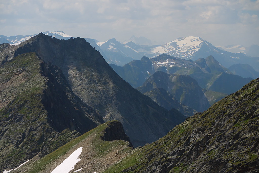
View from the Ankogel, Austria
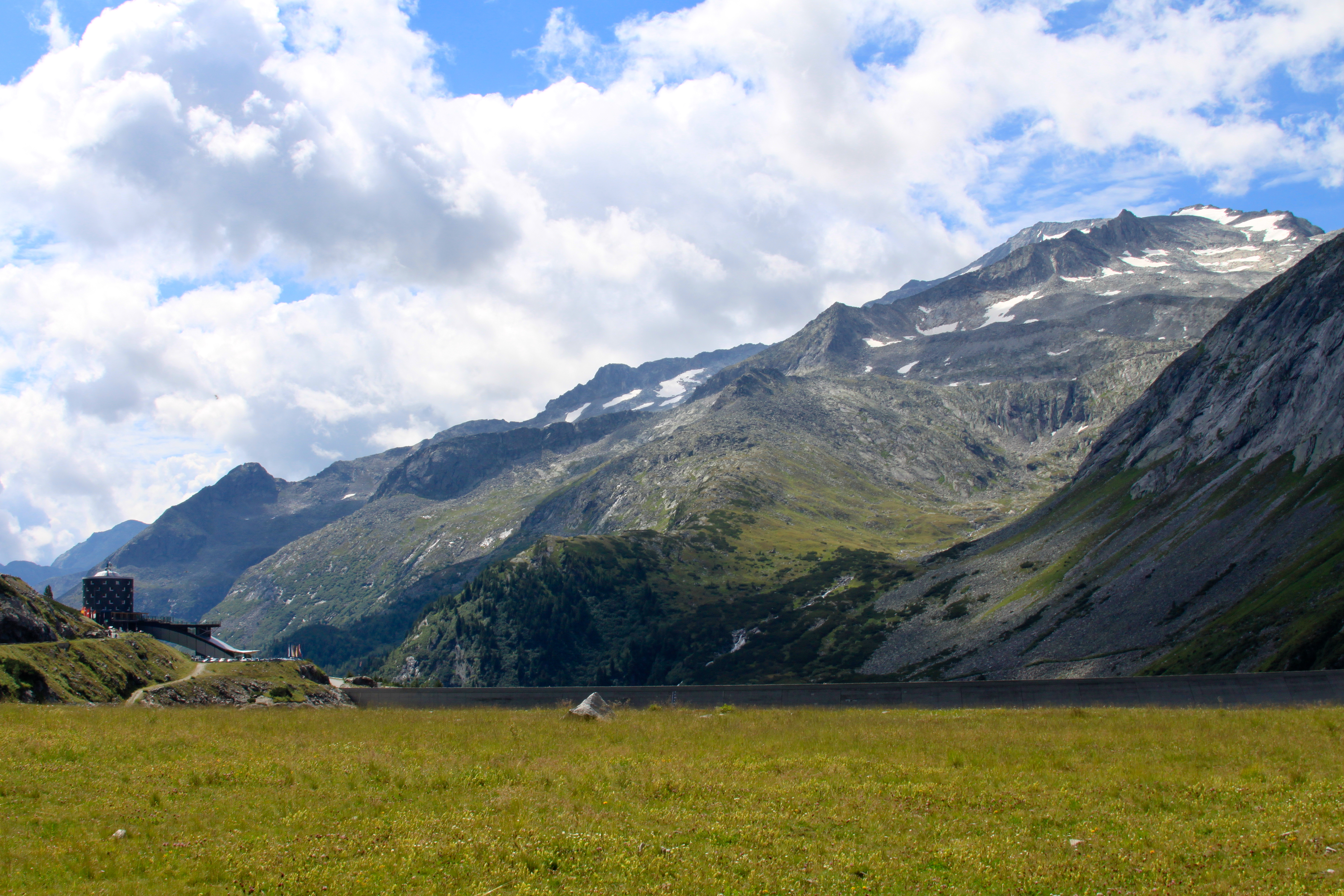
View from the Kölnbreinspeicher

Magas Tauern-i kilátás / view from Lassacher Kees
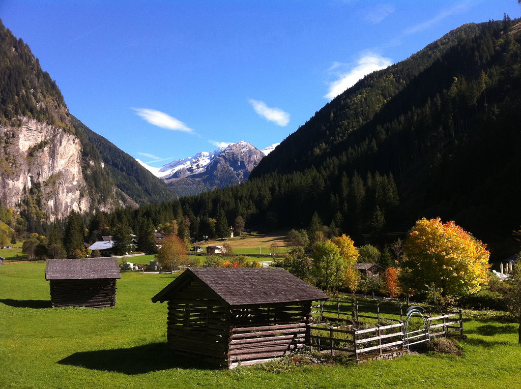
Dösen Valley (Hohe Tauern, Austrian Alps)

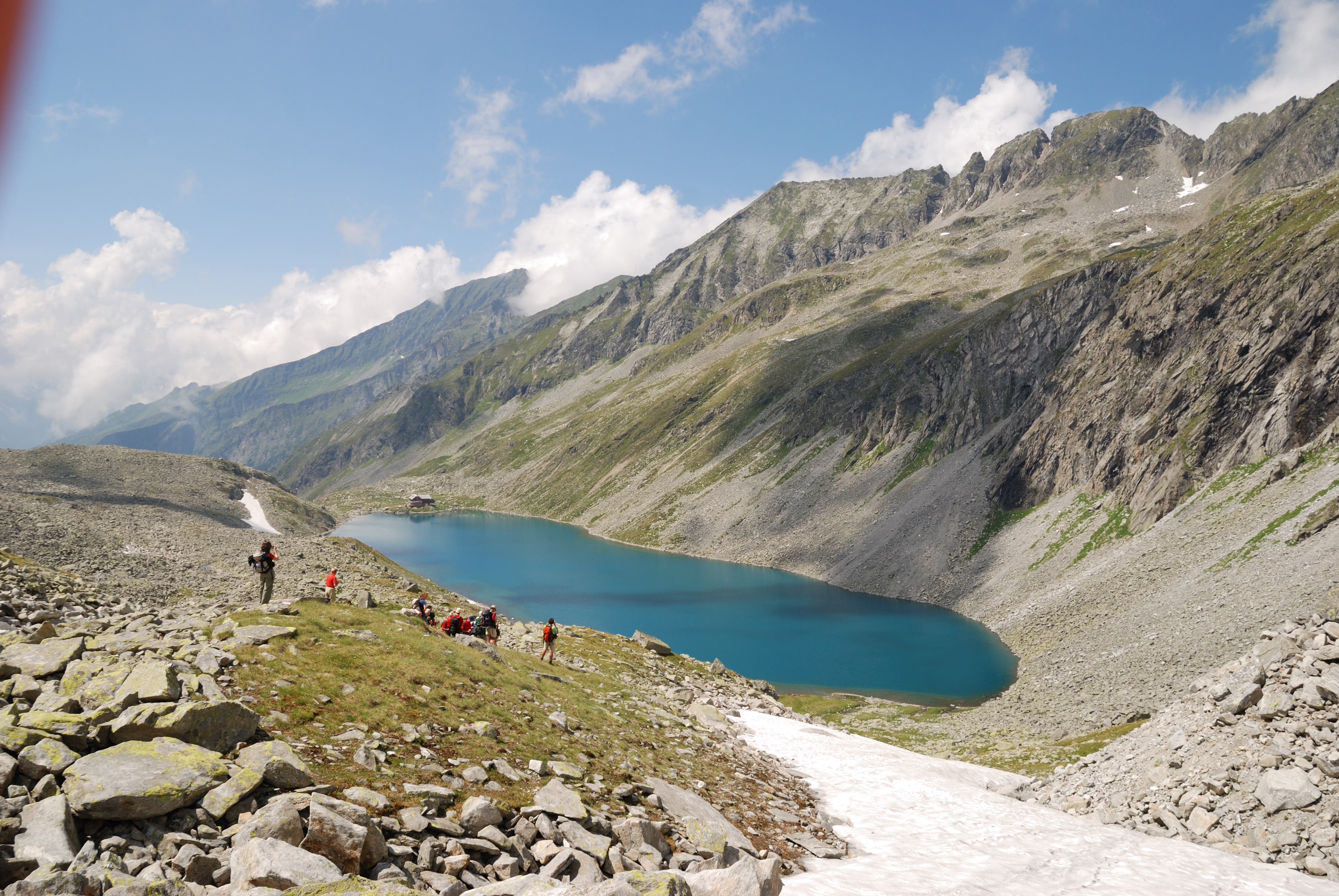
Maltatal, Speichersee Kölnbrein / Reservoir Koelnbrein
Afternoon view
Topographic Map of Brandstatt 36, Brandstatt, Austria
Find elevation by address:

Places near Brandstatt 36, Brandstatt, Austria:
Hintermuhr 23, Hintermuhr, Austria
Ankogel Group
Göß
Hintermuhr
Zandlach 66, Zandlach, Austria
Brandstatt
Gemeinde Muhr
Pölla
Radl 40, Radl, Austria
Schlatzingerau 7, Schlatzingerau, Austria
Zederhaus
Schlatzingerau
Lamm 54, Lamm, Austria
Zederhaus 68, Zederhaus, Austria
Polla 6, Pölla, Austria
Steineggweg 8, Kleinarl, Austria
Flachau 85, Flachau, Austria
Gemeinde Malta
Kleinarl
Zandlach
Recent Searches:
- Elevation of Corso Fratelli Cairoli, 35, Macerata MC, Italy
- Elevation of Tallevast Rd, Sarasota, FL, USA
- Elevation of 4th St E, Sonoma, CA, USA
- Elevation of Black Hollow Rd, Pennsdale, PA, USA
- Elevation of Oakland Ave, Williamsport, PA, USA
- Elevation of Pedrógão Grande, Portugal
- Elevation of Klee Dr, Martinsburg, WV, USA
- Elevation of Via Roma, Pieranica CR, Italy
- Elevation of Tavkvetili Mountain, Georgia
- Elevation of Hartfords Bluff Cir, Mt Pleasant, SC, USA