Elevation of Braddock Heights, MD, USA
Location: United States > Maryland > Frederick County >
Longitude: -77.503598
Latitude: 39.4187127
Elevation: 276m / 906feet
Barometric Pressure: 98KPa
Elevation Map:
Satellite Map:
Related Photos:

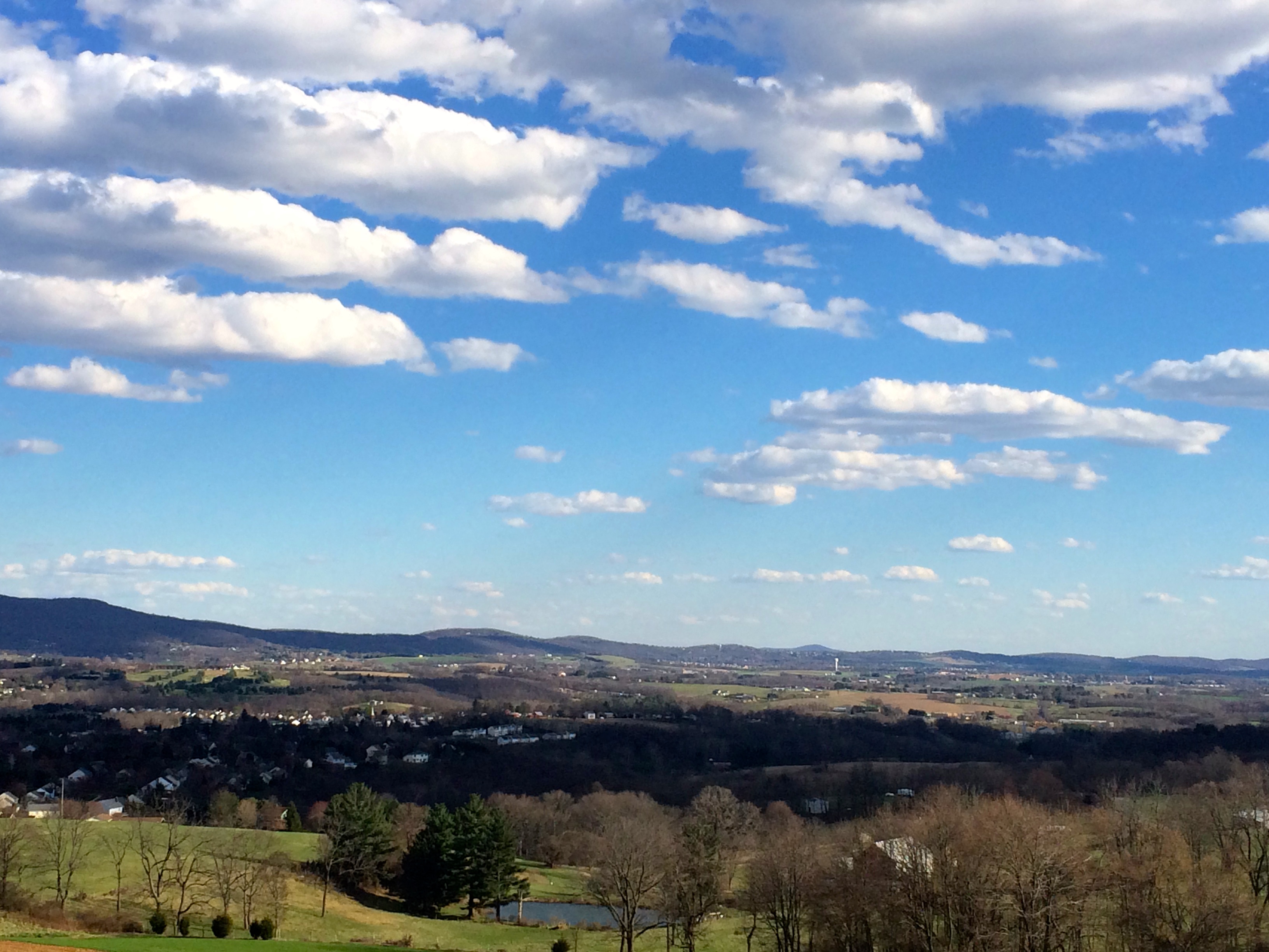
Potomac Panorama

View from Marlu Ridge

View From Top Of The 1st Washington Monument
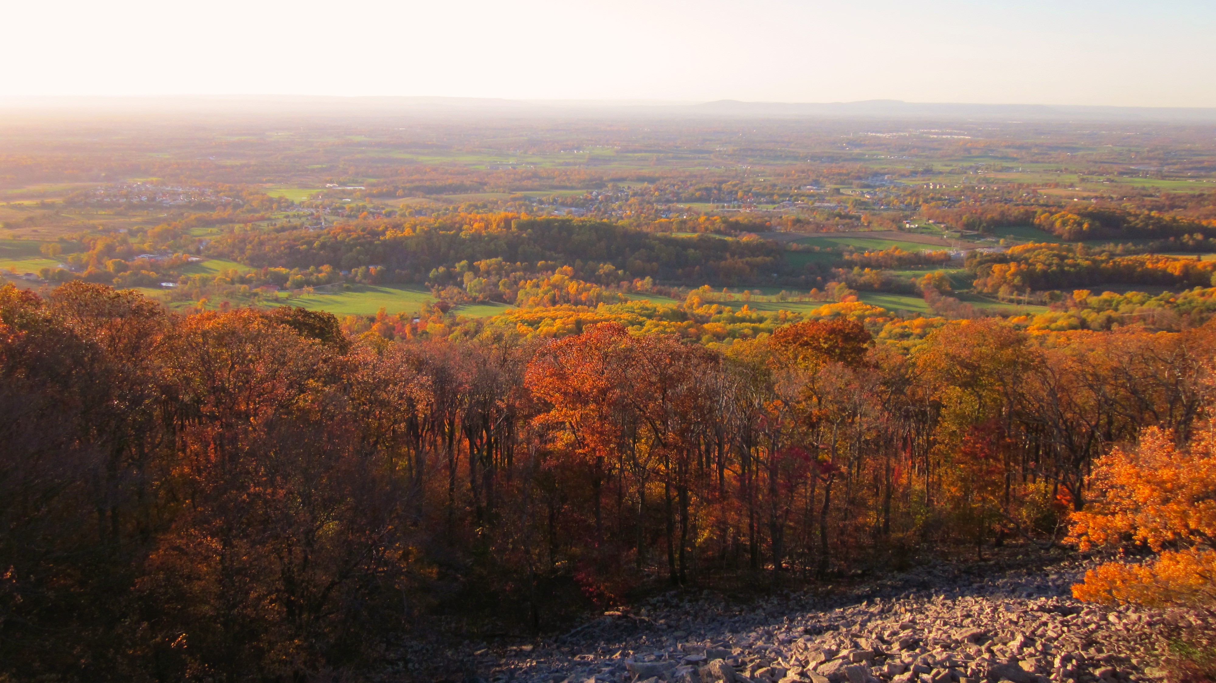
Afternoon view from the Washington Monument on South Mountain, Maryland
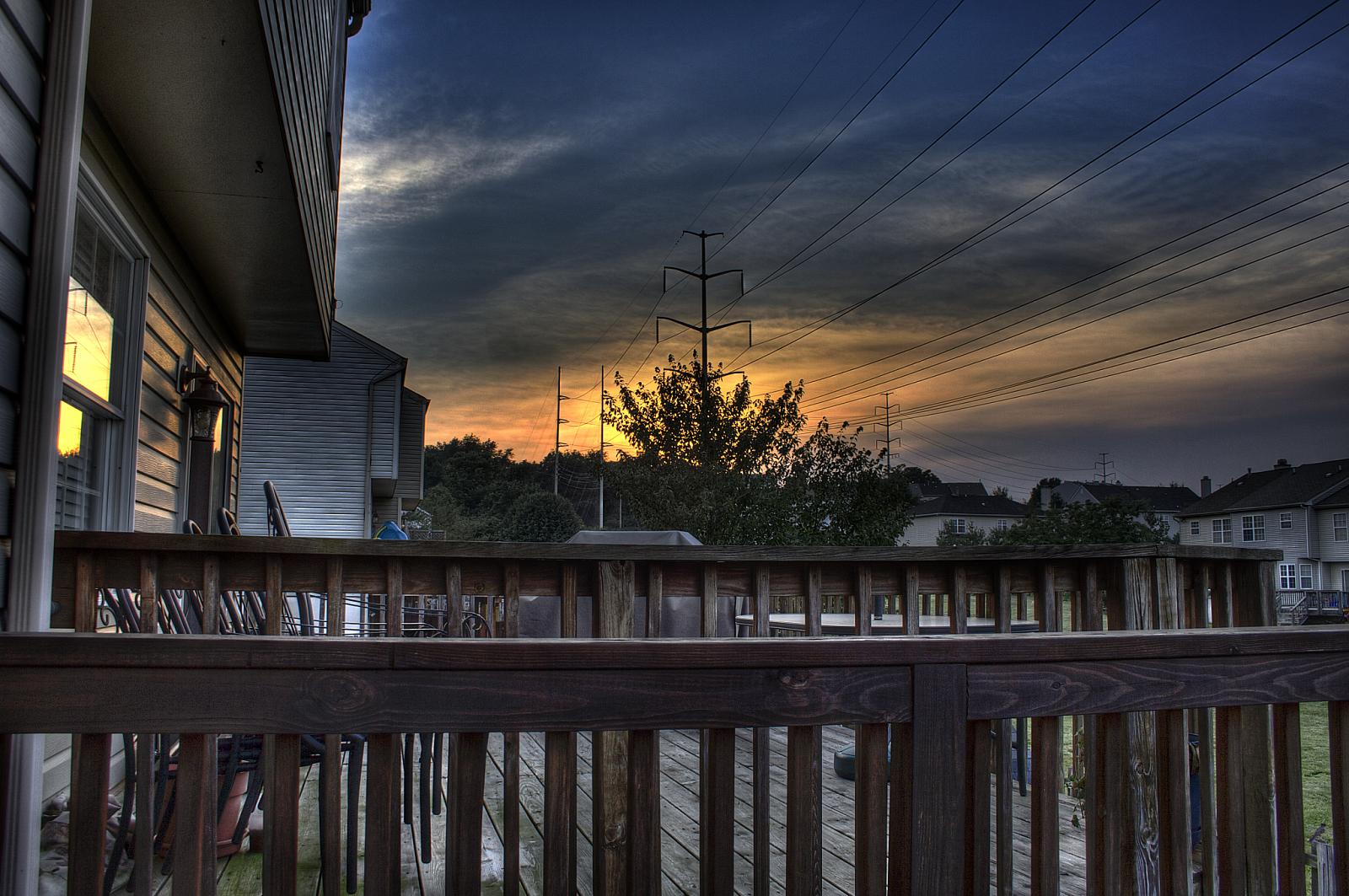
View from the deck

601st BS, Nuthampstead, England, 1944

Bird's Eye View

Roy Rogers - Frederick, MD (Ballenger Center Drive)

Dream a big dream with me...
The Tea Room, Gambrill State Park, Maryland

Roy Rogers - Frederick, MD (Ballenger Center Drive)

MtWash HDR church
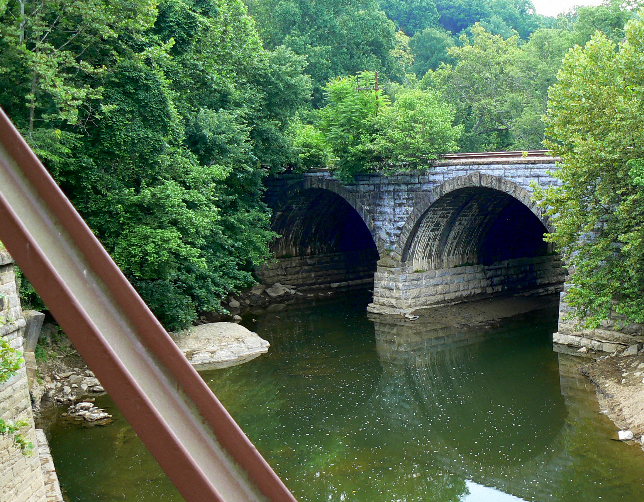
A Wider View of the CSX Bridge

Roy Rogers - Frederick, MD (Buckeystown Pike)

View into the canal, downtown Frederick Maryland
{298/365} Fading light

Early Morning Preflight
View of Catoctin Mountain From the East

"Powerslide"

Fortress In The Sky

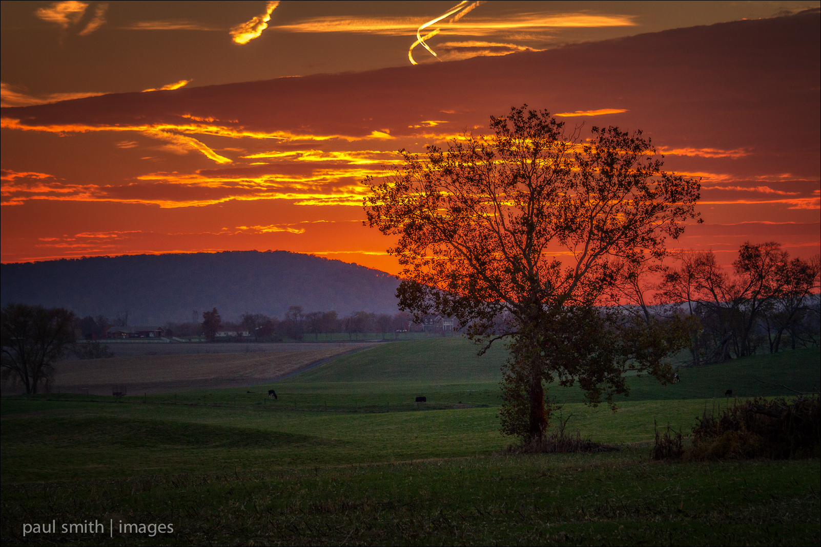
"Limestone Contrails"
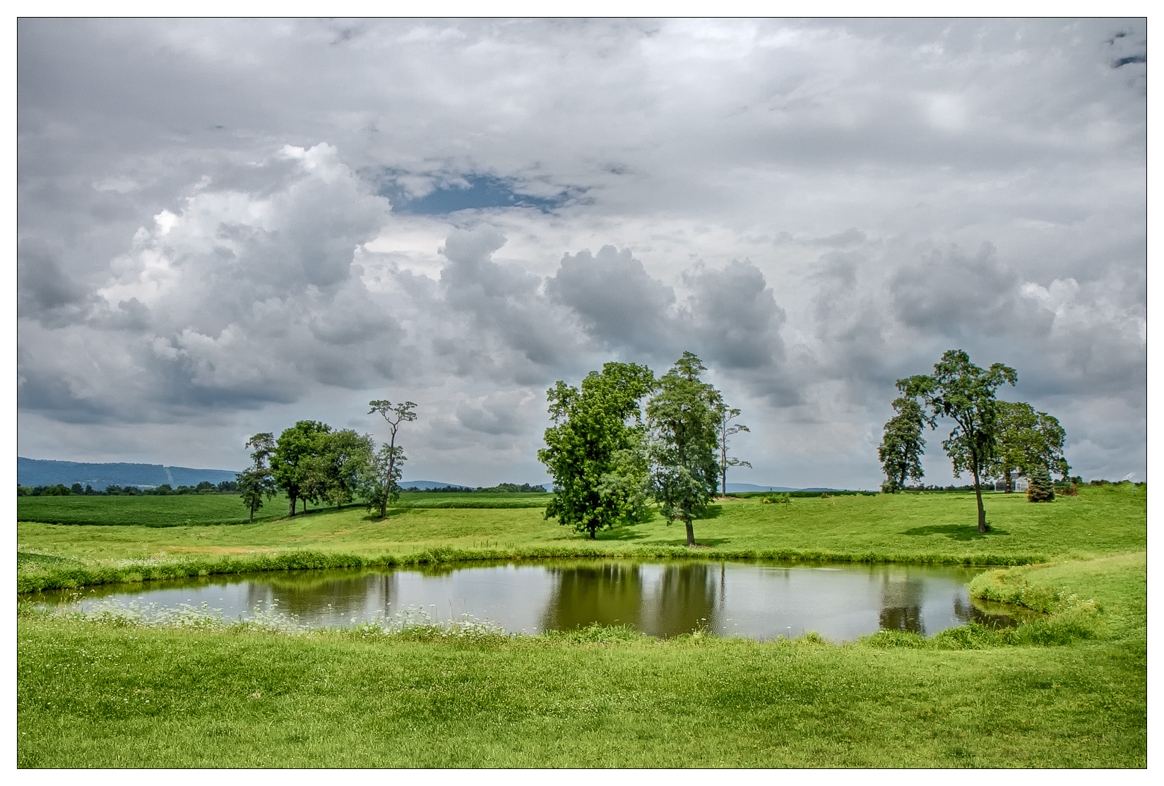
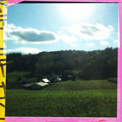
{209/365} Farm pond
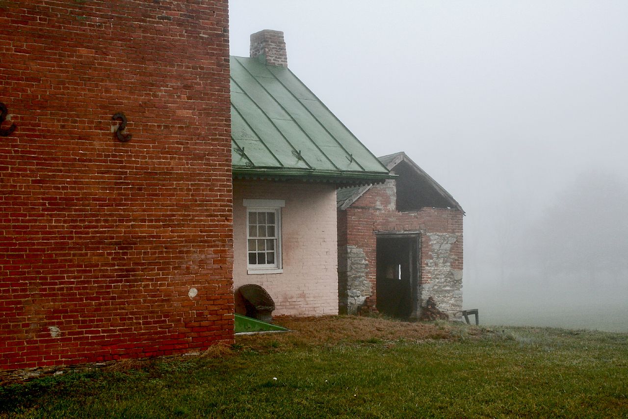
{314/365} Closed for the season
Country Drivin w/ @mrubee

American Little League - Foul

Seth as the lead off hitter. He got a hit off the machine. #little_league #baseball
Layers Upon Layers

Run with me ! #sunset
Washington Monument, rockslide
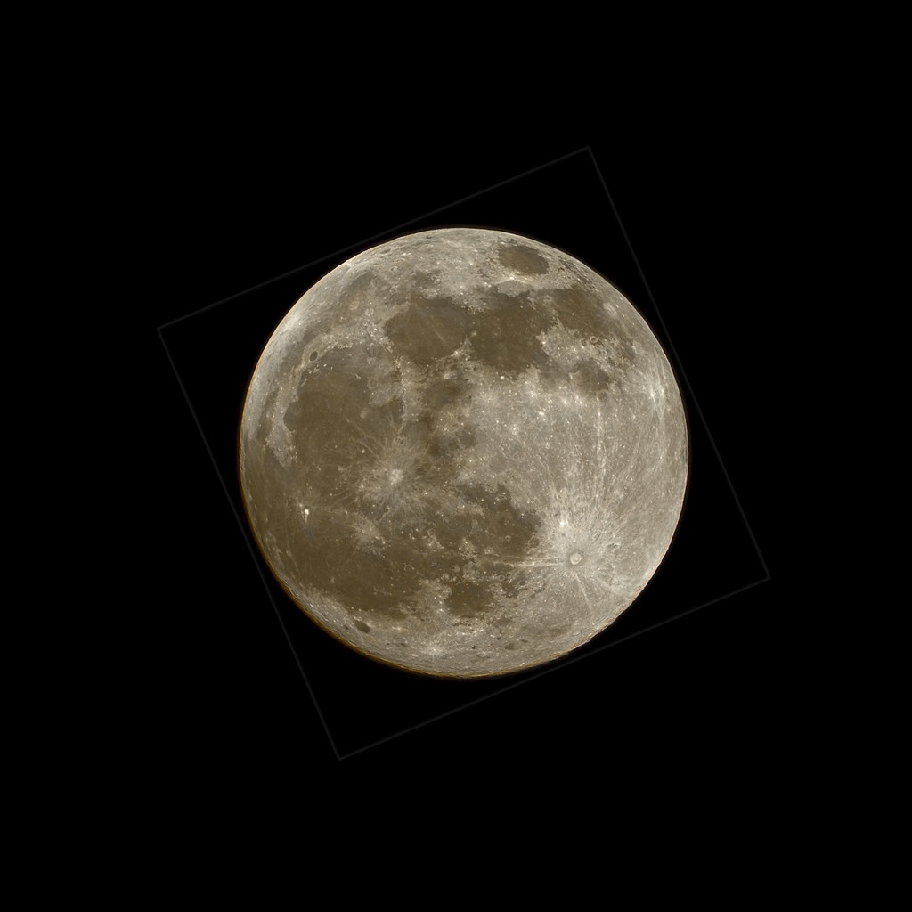
Super Full Moon 20120505

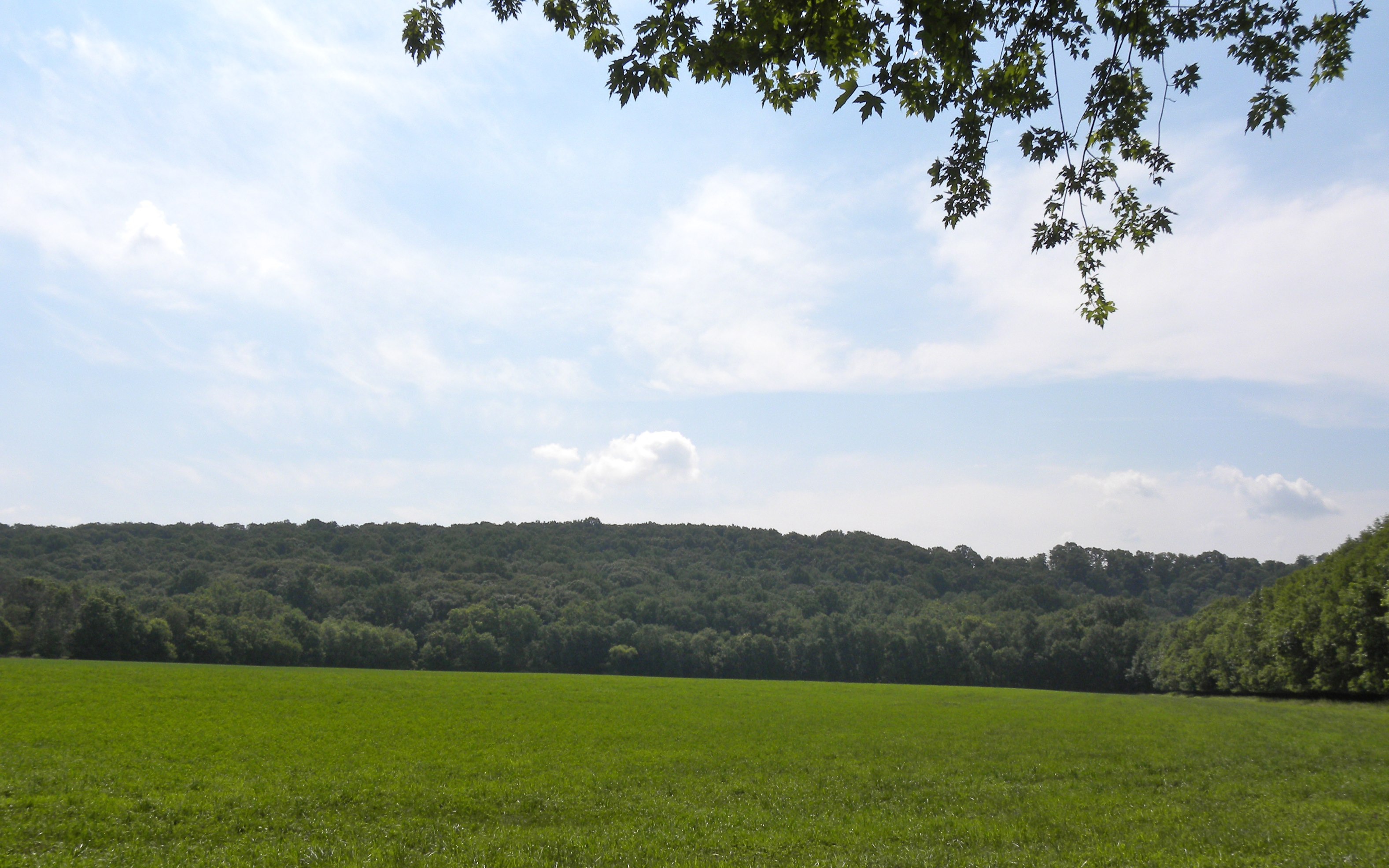
Day 61/365. Vast fields of monotony

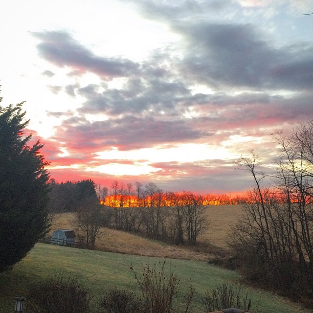
Sunset sky
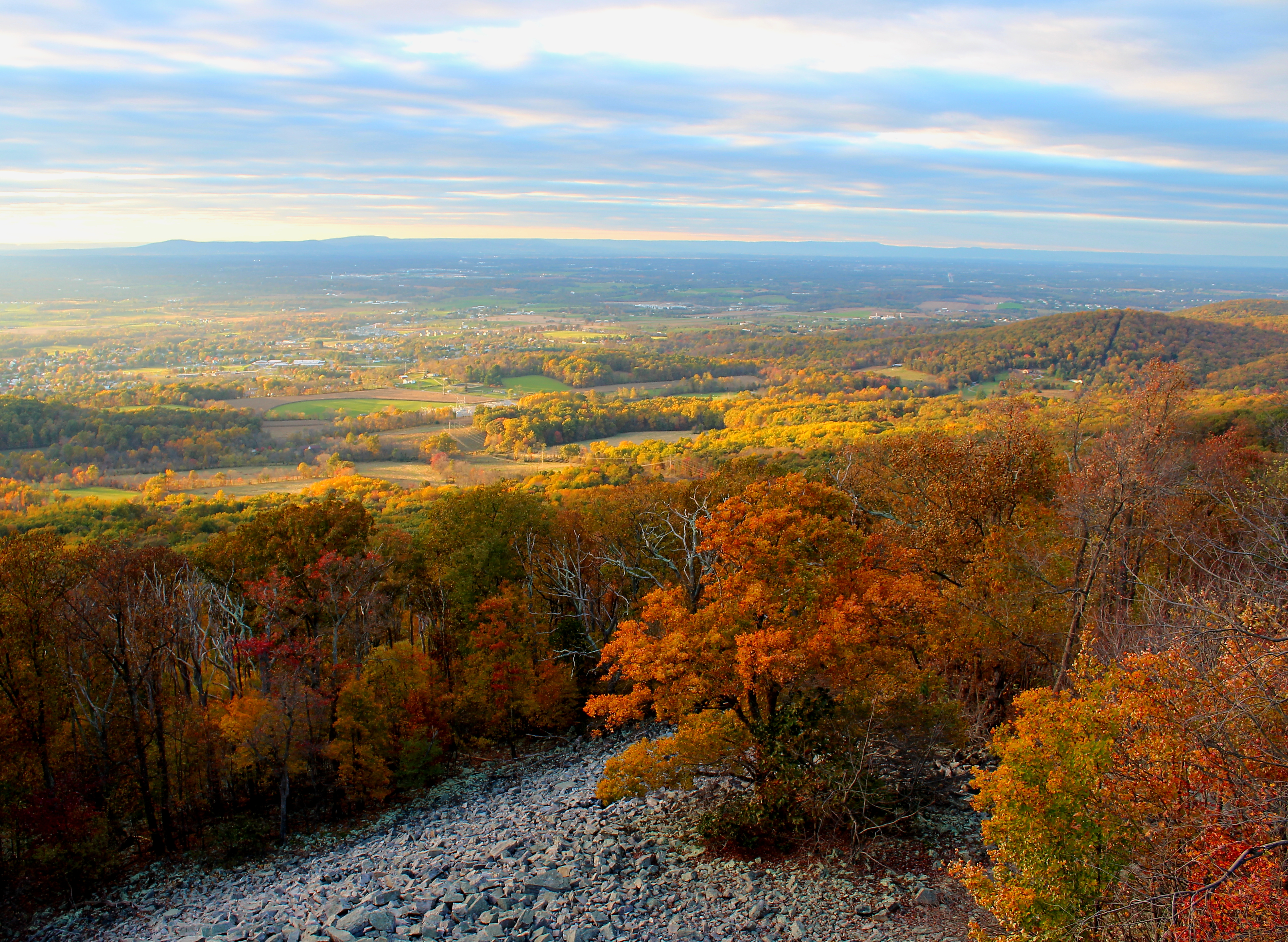
Myersville, Maryland, and the Middletown Valley from Canada Hill, March 2016

Wednesday Morning dropping off @myrah.rose #sunrise #Gündoğumu #çarşamba

Sunset tonight was gorgeous
Brooks Hill

Washington Monument, lower rampart
#morning #sunrise #Maryland
Topographic Map of Braddock Heights, MD, USA
Find elevation by address:

Places in Braddock Heights, MD, USA:
Places near Braddock Heights, MD, USA:
6642 Jefferson Blvd
4955 Old Swimming Pool Rd
24, Braddock
405 Glenbrook Dr
3 Tobias Run
114 Manda Dr
7904 Ridge Rd
Stone Rd, Frederick, MD, USA
Holter Rd, Middletown, MD, USA
5500 Jefferson Pike
4440 Valley View Rd
240 E Green St
1419 Timberwolf Dr
4005 Valley View Rd
4200 Valley View Rd
103 Prospect St
Rollinghouse Dr, Frederick, MD, USA
Meadow Dr, Frederick, MD, USA
3919 Valley View Rd
Hillcrest Orchards
Recent Searches:
- Elevation of Corso Fratelli Cairoli, 35, Macerata MC, Italy
- Elevation of Tallevast Rd, Sarasota, FL, USA
- Elevation of 4th St E, Sonoma, CA, USA
- Elevation of Black Hollow Rd, Pennsdale, PA, USA
- Elevation of Oakland Ave, Williamsport, PA, USA
- Elevation of Pedrógão Grande, Portugal
- Elevation of Klee Dr, Martinsburg, WV, USA
- Elevation of Via Roma, Pieranica CR, Italy
- Elevation of Tavkvetili Mountain, Georgia
- Elevation of Hartfords Bluff Cir, Mt Pleasant, SC, USA