Elevation of Brabourne, Ashford TN25 5LR, UK

Location: United Kingdom > England > Kent >

Longitude: 1.00567

Latitude: 51.135957

Elevation: 94m / 308feet

Barometric Pressure: 100KPa

Elevation Map:

elevation map of Brabourne, Ashford TN25 5LR, UK

Satellite Map:

Satellite map of Brabourne, Ashford TN25 5LR, UK

Related Photos:

sigma1020f456 shadows spring tree topazclarity clouds church gravestone kent d7100 fence saintrumwolds england
Saint Rumwold's
winter england sky panorama tree clouds countryside kent nikon northdowns lightroom wye sigma1020 devilskneadingtrough d7100
Cloudy view
unitedkingdom uk greatbritain networkrail southeasternmainline london londoncharingcross dover doverpriory england southeastengland kent capelleferne whitecliffsofdover kentdowns englishchannel straitofdover manche nauwvancalais abbotscliffebeach southeastern southeasterntrains class375 electrostar bombardier
southeastern 375 812 + 375 802 @ Capel-le-Ferne
rhopalussubrufus rhopalidae hemiptera heteroptera punaise nymph insect bursted kent 2017 rockwolf
Rhopalus subrufus nymph
nikkor35mmf18 folkestone urban nikon d7100 train track winter tree panorama kent sunset clouds england caesarscamp
Caesar's camp
england tree church clouds kent spring nikon view medieval historic ashford stmarys paddock lr6 sevington d7100 sigma1750f28exdcoshsm
St Mary's church in colour
countryside ukcountryside kentcountryside kentfields kenthills kent eastkent crundale crundalekent crundalehills kentishcountryside kentishfields kentishlandscape landscape uklandscape kentlandscape
View of the Kent Downs, Crundale
tree kent nikon ultrawide northdowns hdr wye sigma1020 devilskneadingtrough d5000 blinkagain
Lonely Tree
mayjune2018 explore explored explored26072018 kent landscape view warehorne kenardington romneymarsh rmc royalmilitarycanal canal britishwaterways waterways water reflections wetreflections reflectivewater reflectionsinwater clouds fields nikon d200 18200mmvr 1000views 2000views 3000views 4000views 5000views 10faves 25faves 50faves 75faves 100faves 125faves 10comments 6000views
Royal Military Canal (Explored 26.07.2018)
wood uk trees england english bluebells spring united kingdom panoramic kings challock
Kings Wood
vineyards grapes kent pilgrimsway westwell autumn walk
Vineyards on the chalky, flilt peppered Noth Downs footslope "Terroir"
brabourne hastingleigh ashford brabournekent westbrabourne fields kentfields panorama ukfields landscape
Brabourne panorama from New Barn Road, Kent
chilham rural ruralvillages ruralkent roses cottage cottages cottagegarden cottagerow villagecottage englishcottage kent kentishvillages adamswaine 2020 castlespalacesmanorhousesstatleyhomescottages england english englishvillages aonb northdownskent counties stourvalley springinkent
Cottages @ Chilham Kent
sunset romneymarsh royalmilitarycanal a2070
February sunset.
canon landscape countryside kent fields 70300mm folkestone 6d
This is England [Explored]
11 1x1 1by1 square scape abstract canon eos 600d ruleofthirds ruleof3rds rule thirds sky sea sand folkestone pebbles kent uk seaside side day4
Rule of Thirds
metriopteraroeselii roeselsbushcricket cricket orthoptera sauterelle insect wyedowns kent rockwolf
Roesel's bush-cricket courtship
kent view seascape seaside sea englishchannel coast coastline shore shoreline breakwater surf waves whitehorses folkestone nikon d200 18200mmvr 1000views 2000views 3000views 4000views 5000views 10faves 25faves 50faves 75faves 10comments 6000views
Folkestone Breakwater
nature mothernature naturalbeauty beauty kent landscape nikon24120mmf4 nikon24120mmf4gedvr england sunlight nikon d850 nikond850 nikkor24120mm nikon24120mm nikongp1 paulwilliams despitestraightlines flickr gettyimages morning getty gettyimagesesp despitestraightlinesatgettyimages park parkland brockhillcountrypark brockhillpark brockhillcountryparkkent hythe hythekent waterfall cow moo adultcow cattle domesticcattle livestock bovine
This green and pleasant land - (Selected by GETTY IMAGES) & (Selected for FLICKR EXPLORE)
folkestone england unitedkingdom 20170419115722 europe britain kent channeltunnel hillside carving
Chalk Horse
cycle winter kent olantigh crunddle lane
Love a new find! A new lane with stunning views so camera back out!
aprmay2016
Crop Lines at Bonnington
Romney Marsh
storm canal hythe beacheslandscapes
Thunderstorm Approaching.
kent wheat farming cereal harvest seed crops mountainroad fieldsofgold goldenfields
What's for breakfast
aprmay2016
Orlestone Forest
seascape sandgate clouds lighting shoreline shadows cloudformation sunrays
Sandgate Esplanade
winter england wet water kent nikon rocks waves spray splash seaspray folkestone lightroom d7100 tamronsp70300f456vcusd
The big splash
england clouds kent nikon ultrawide northdowns hdr wye sigma1020 d5000 bestofblinkwinners
Let there be light......
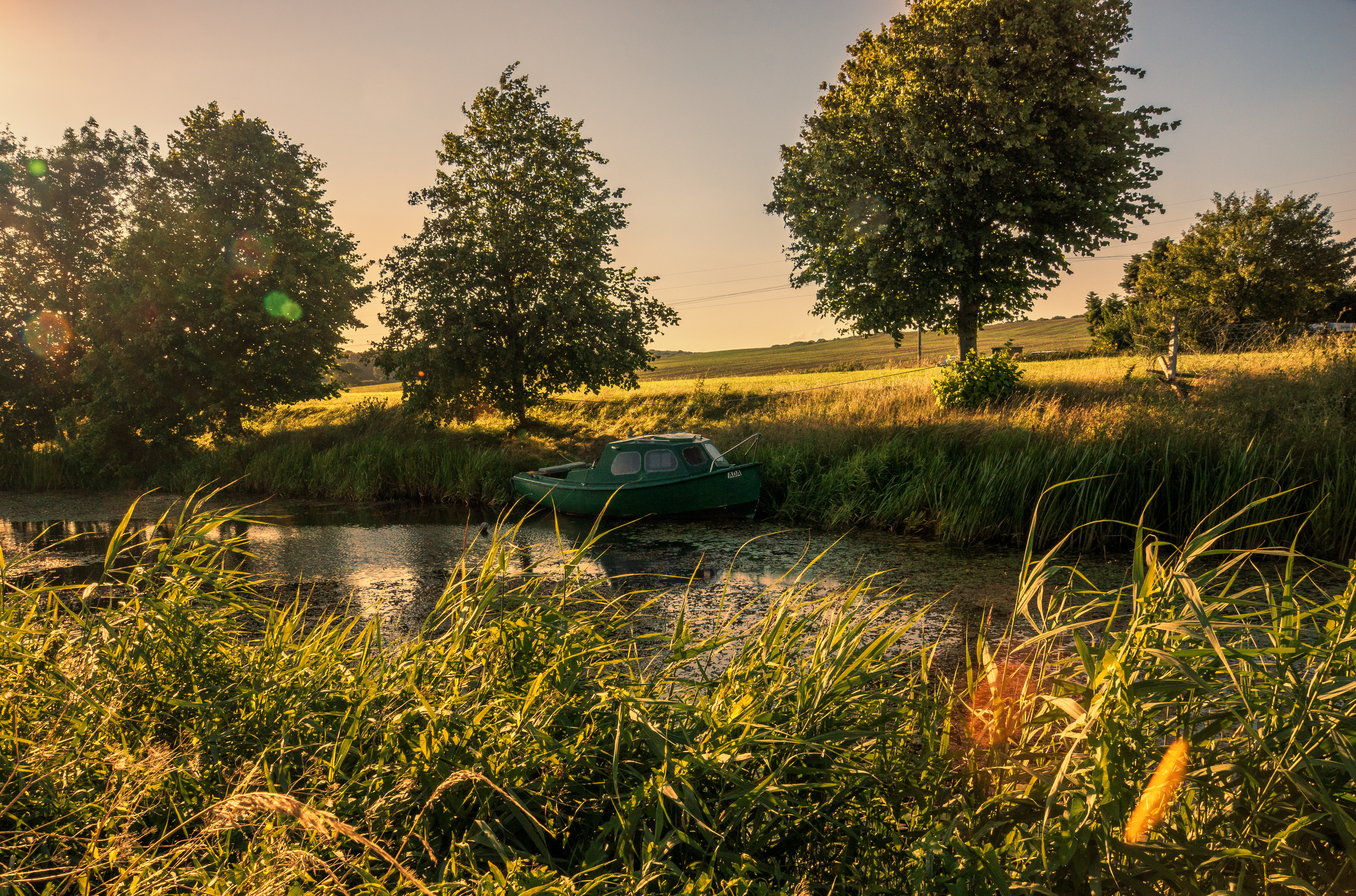
england kent marsh romney hythe infocus highquality
Boat on thecanal
66744 'Crossrail'
snow romneymarsh nikon d500 frozen
A Touch of Snow
kent obelisk fields bilsington larigan phamilton coswaymemorial
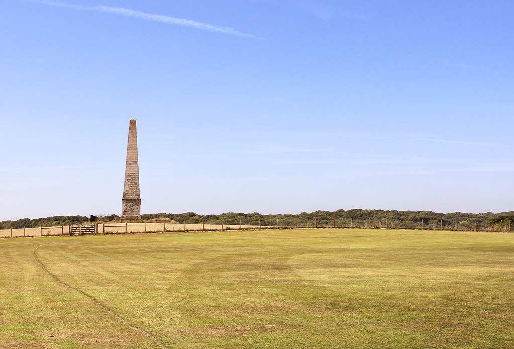
Cosway memorial obelisk, Bilsington
stourvalley wye kent kentishlandscapes englishlandscapes landscapes england english britain british canon counties countryside rural ruralkent 2020 springinkent englishfields kentfields fields farming farms naturelovers nature uk ukcounties walks southeast adamswaine barns kentdowns aonb trees green
Stour Valley @ Wye Kent
aprmay2016
Orlestone Forest
seascape bluesky serene pebbles rock tranquility beach blue sandgate kent southeastuk
A tranquil scene ..Sandgate Beach
kent rural farm ianhufton landscape kentlandscape
Rural Kent
bluebells kingswood beacheslandscapes
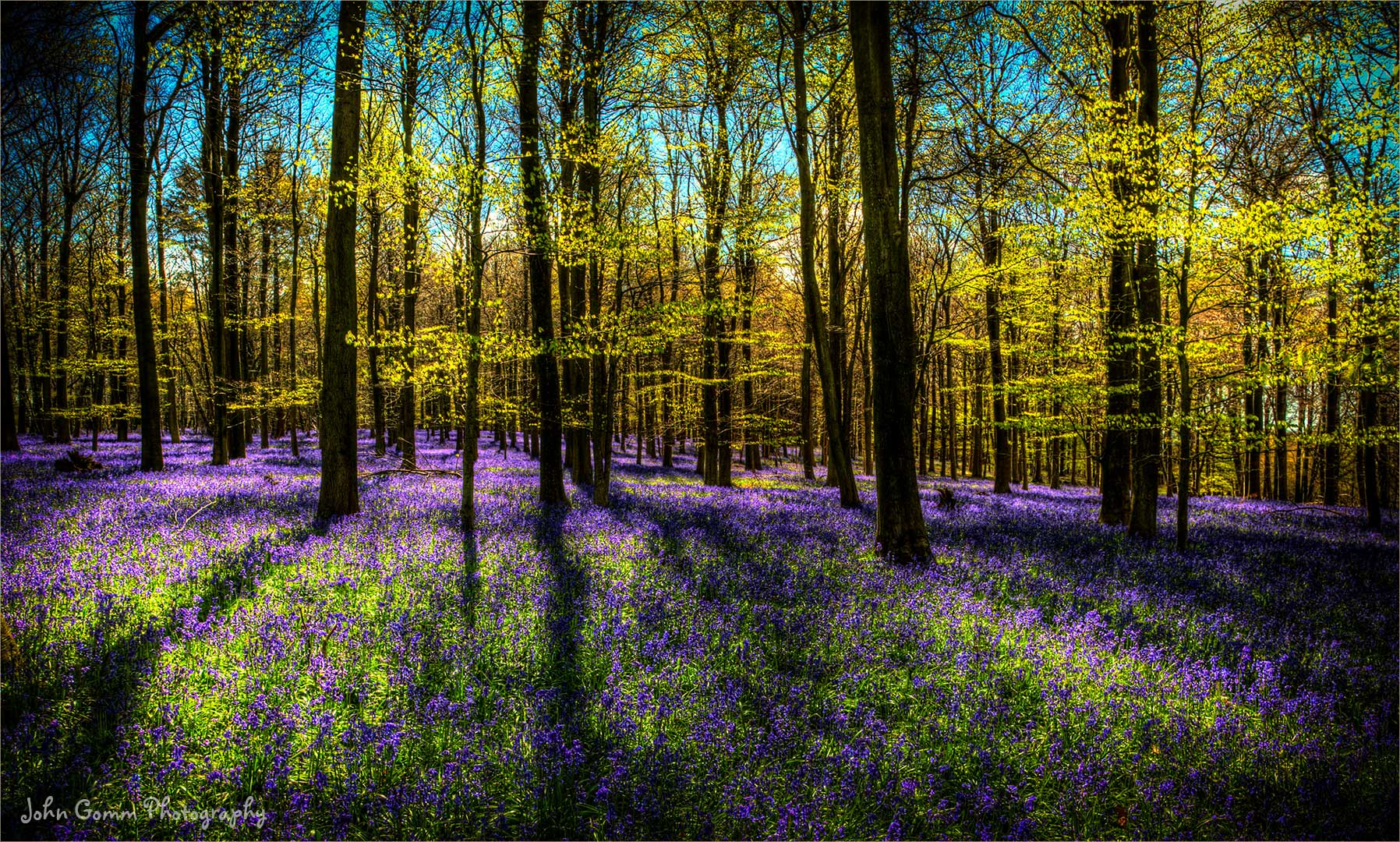
Kings Wood Blue Bells.