Elevation of BR-, Sacramento - MG, -, Brazil
Location: Brazil > State Of Minas Gerais > Sacramento >
Longitude: -47.475543
Latitude: -19.619634
Elevation: 958m / 3143feet
Barometric Pressure: 90KPa
Elevation Map:
Satellite Map:
Related Photos:
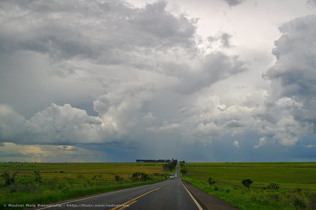
BR-262
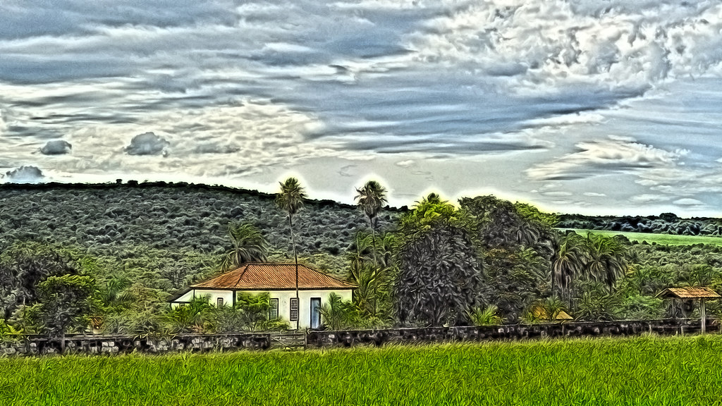
Old farm (digital paint)
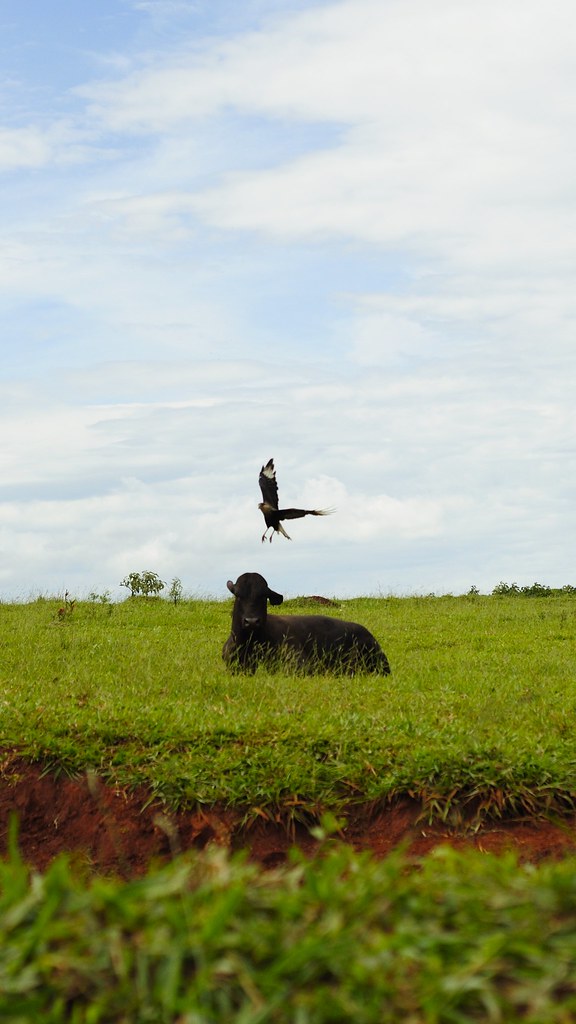
Gavião / Hawk
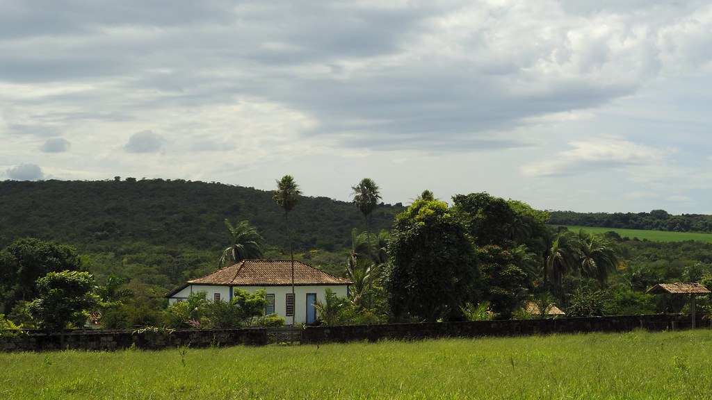
Old farm (original)

Tiborna's road
Topographic Map of BR-, Sacramento - MG, -, Brazil
Find elevation by address:

Places near BR-, Sacramento - MG, -, Brazil:
Santa Juliana
R. José Goularte, - Nossa Sra. das Dores, Santa Juliana - MG, -, Brazil
Nossa Senhora Das Dores
Serra Do Salitre
Chapada Das Perdizes
Recent Searches:
- Elevation of Corso Fratelli Cairoli, 35, Macerata MC, Italy
- Elevation of Tallevast Rd, Sarasota, FL, USA
- Elevation of 4th St E, Sonoma, CA, USA
- Elevation of Black Hollow Rd, Pennsdale, PA, USA
- Elevation of Oakland Ave, Williamsport, PA, USA
- Elevation of Pedrógão Grande, Portugal
- Elevation of Klee Dr, Martinsburg, WV, USA
- Elevation of Via Roma, Pieranica CR, Italy
- Elevation of Tavkvetili Mountain, Georgia
- Elevation of Hartfords Bluff Cir, Mt Pleasant, SC, USA