Elevation of BP, E Main Street, Wasson St., Streator, IL, USA
Location: United States > Illinois > Lasalle County > Streator >
Longitude: -88.828713
Latitude: 41.12115
Elevation: 188m / 617feet
Barometric Pressure: 99KPa
Elevation Map:
Satellite Map:
Related Photos:

Sunset on the Santa Fe
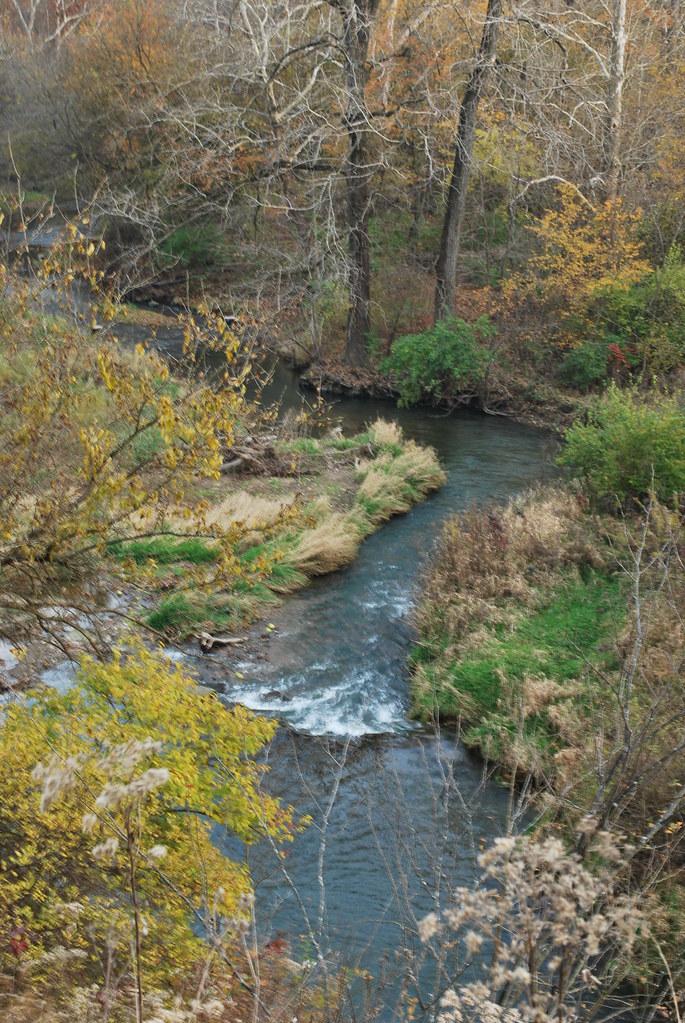
Overlooking spring lake creek
Splitting the signals at Ancona
Sunday morning at Ancona

Flying from MCI to Providence, Rhode Island

2017 Streator Warbirds (170)

Up in the clouds

#Flock of #Starlings in a #windmill field. #travel #backroads #roadtrip #birds #energy

Flying from MCI to Providence, Rhode Island
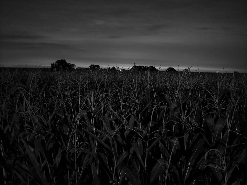
The cornfield

Flying from MCI to Providence, Rhode Island
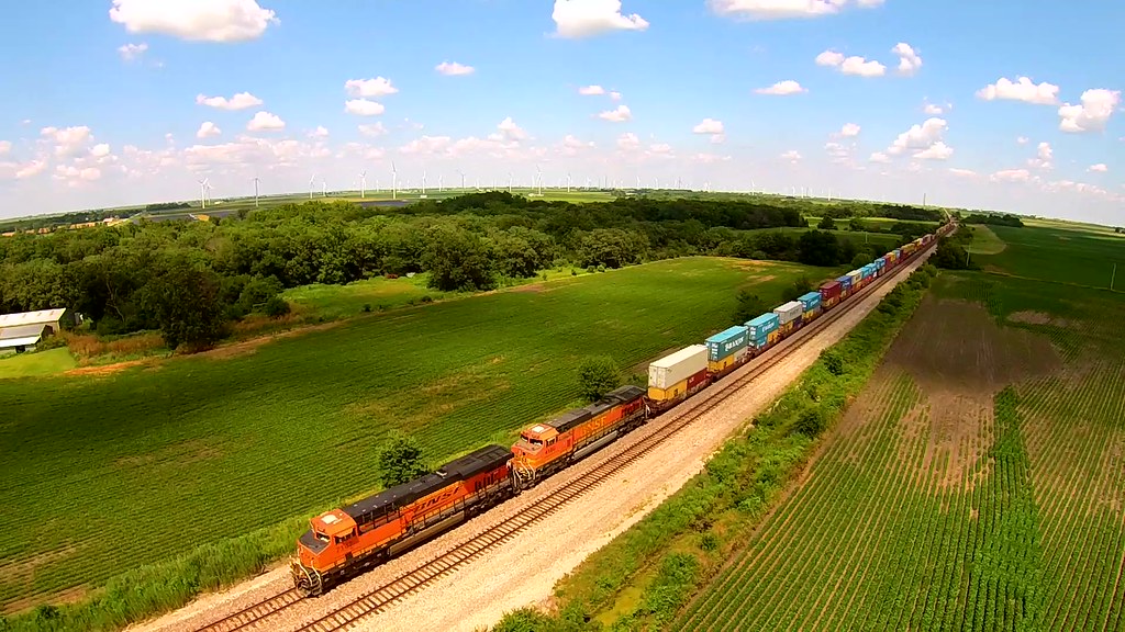
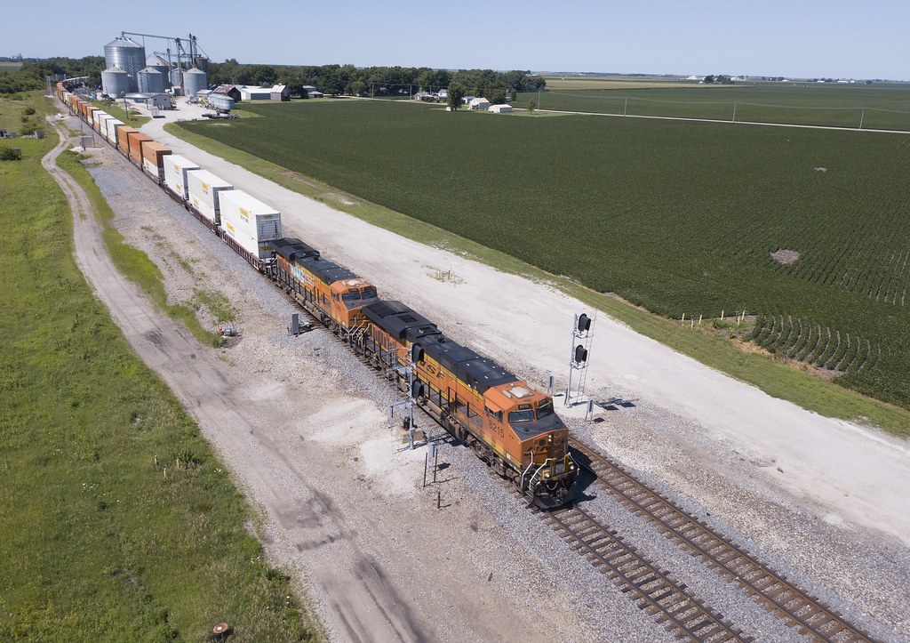
BNSF 7147 West near Kernan, Illinois
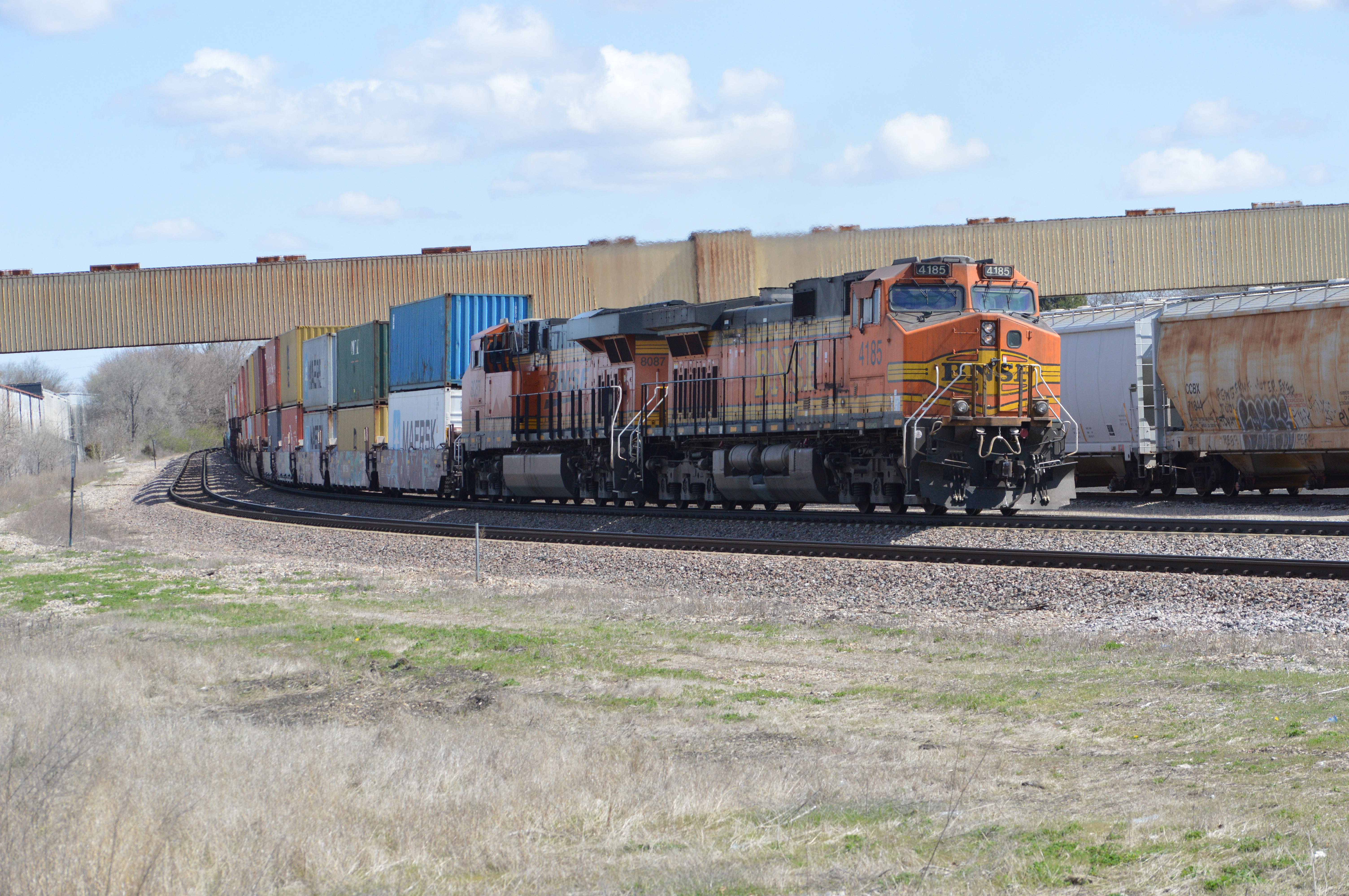
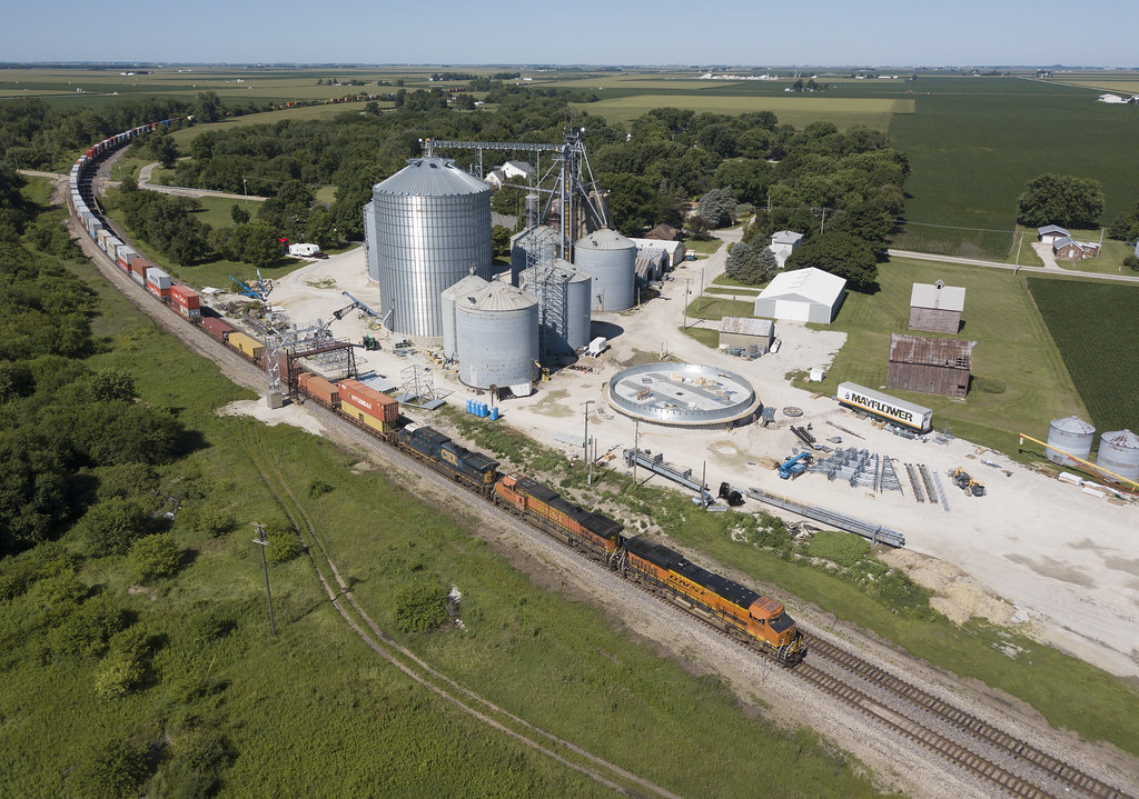
Shipping DPUs

2017 Streator Warbirds (185)

2017 Streator Warbirds (173)
Topographic Map of BP, E Main Street, Wasson St., Streator, IL, USA
Find elevation by address:

Places near BP, E Main Street, Wasson St., Streator, IL, USA:
Streator
Socu Owens Credit Union
1408 S Jackson St
IL-23, Streator, IL, USA
Reading Township
1008 E 11th Rd
Garfield
Amity Township
6th St, Cornell, IL, USA
Cornell
Allen Township
Osage Township
Ransom
N Garfield St, Ransom, IL, USA
South Ottawa Township
100 W Mckinley Rd
100 W Mckinley Rd
E Madison St, Dana, IL, USA
533 State St
N st Rd, Oglesby, IL, USA
Recent Searches:
- Elevation of Corso Fratelli Cairoli, 35, Macerata MC, Italy
- Elevation of Tallevast Rd, Sarasota, FL, USA
- Elevation of 4th St E, Sonoma, CA, USA
- Elevation of Black Hollow Rd, Pennsdale, PA, USA
- Elevation of Oakland Ave, Williamsport, PA, USA
- Elevation of Pedrógão Grande, Portugal
- Elevation of Klee Dr, Martinsburg, WV, USA
- Elevation of Via Roma, Pieranica CR, Italy
- Elevation of Tavkvetili Mountain, Georgia
- Elevation of Hartfords Bluff Cir, Mt Pleasant, SC, USA