Elevation of Boxwood Ln, Pearisburg, VA, USA
Location: United States > Virginia > Giles County > Central > Pearisburg >
Longitude: -80.708577
Latitude: 37.3326306
Elevation: 617m / 2024feet
Barometric Pressure: 94KPa
Elevation Map:
Satellite Map:
Related Photos:

Milky Way over Salt Pond Mountain (Milky Way IV)

Happies Wide

Little Stony Creek

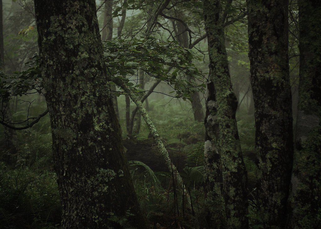
Magical Forest

Little Stony Creek II

Autumn Sunset

West Virginia, Mountain Momma

Bald Knob Sunset Overlook

Foggy Morning view from one of the trails at the Mountain Lake Lodge Nature Preserve

Mountain Lake Overlook

Porch view

Lookoff Rock

Cascade Falls, Jefferson National Forest, Virginia

Mountain Lake Overlook

US Highway 460, Pearisburg, Virginia

IMG_0106_View of New River under the bridge_Pearisburg_080526

View from Gas Station Bathroom

Markus Dirty Dancing.JPG

Under the narrows Bridge with hoppers

Happy Birthday Dad!

IMG_0102_First Views of Pearisburg near VA 460

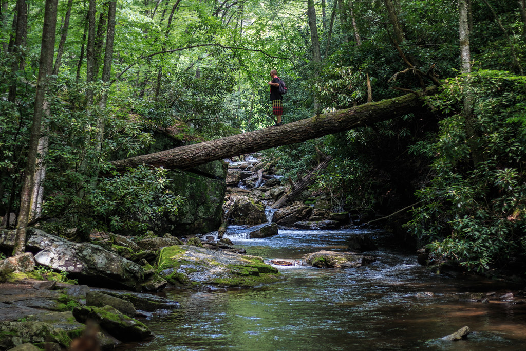
Cascades on Little Stony Creek

Little Stony Creek
Blue Ridge Mountains

chasing light

The Cascades - Giles County, VA

Icy Falls

Blue Ridge Mountains

Milky Way over the New River Valley

Milky Way V

Mountain Stream

Little Stony Creek

Upper Cascades

Night on the New River
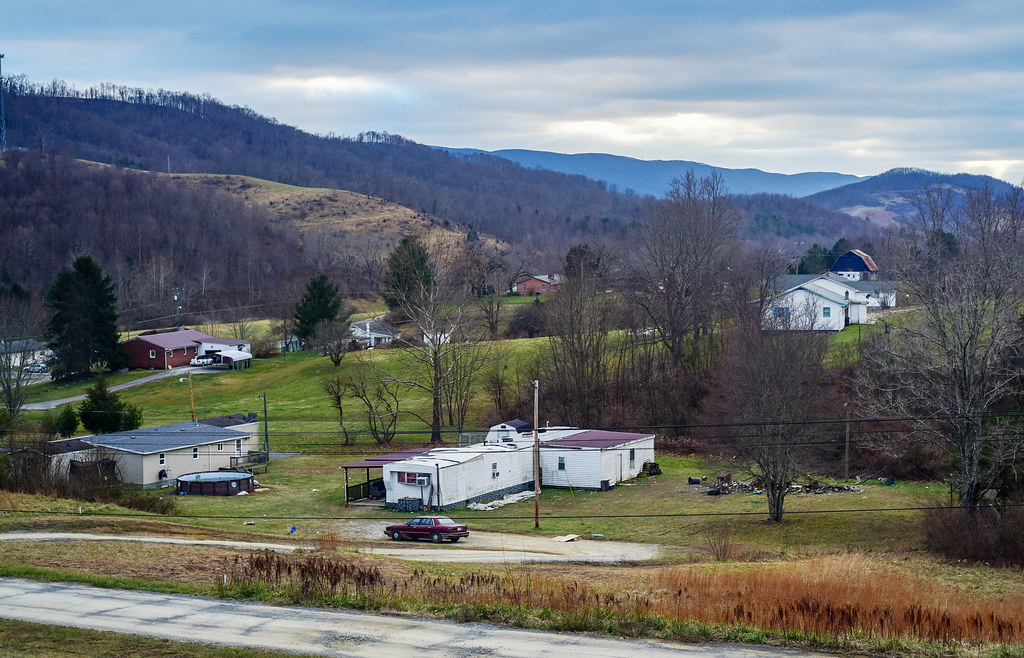
Small town, WV

New River

Cascades Falls
Hold my beer and watch this!
Topographic Map of Boxwood Ln, Pearisburg, VA, USA
Find elevation by address:

Places near Boxwood Ln, Pearisburg, VA, USA:
1825 Wenonah Ave
309 Chestnut St
Curve Road
1104 Henson Ave
Ripplemead
Pearisburg
Pine Ln, Ripplemead, VA, USA
301 Orchard Dr
Virginia Avenue
Giles County
2093 Big Stony Creek Rd
100 Snidow St
283 Snidertown Rd
Pembroke
Stoney Creek Rd, Goldbond, VA, USA
2058 Eggleston Rd
92 Kow Camp Rd
420 Springwood Dr
Sentinel Drive
Western
Recent Searches:
- Elevation of Corso Fratelli Cairoli, 35, Macerata MC, Italy
- Elevation of Tallevast Rd, Sarasota, FL, USA
- Elevation of 4th St E, Sonoma, CA, USA
- Elevation of Black Hollow Rd, Pennsdale, PA, USA
- Elevation of Oakland Ave, Williamsport, PA, USA
- Elevation of Pedrógão Grande, Portugal
- Elevation of Klee Dr, Martinsburg, WV, USA
- Elevation of Via Roma, Pieranica CR, Italy
- Elevation of Tavkvetili Mountain, Georgia
- Elevation of Hartfords Bluff Cir, Mt Pleasant, SC, USA