Elevation of Boxelder Dr, Edgewood, MD, USA
Location: United States > Maryland > Harford County > 1, Abingdon > Edgewood >

Longitude: -76.307937

Latitude: 39.420586

Elevation: 51m / 167feet

Barometric Pressure: 101KPa

Elevation Map:

elevation map of Boxelder Dr, Edgewood, MD, USA
Satellite Map:

Satellite map of Boxelder Dr, Edgewood, MD, USA

Related Photos:

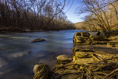
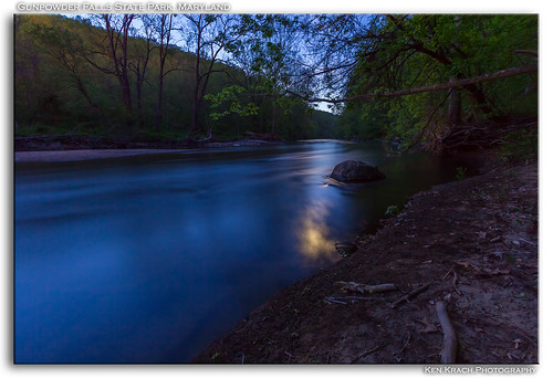
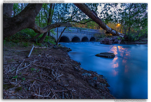
longexposure river maryland gunpowderfallsstatepark gunpowderriver gunpowderstatepark
Golden Bank
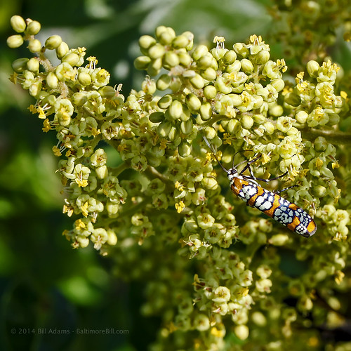
reflection belair moth maryland harfordcounty ailanthuswebwormmoth attevapunctella canonef100mmf28macrousm bugguidenet 34inches hodges9000
My Window Needs Cleaning
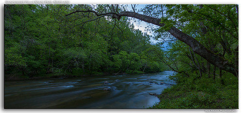
longexposure river gunpowderriver gunpowderstatepark
Stretching Out
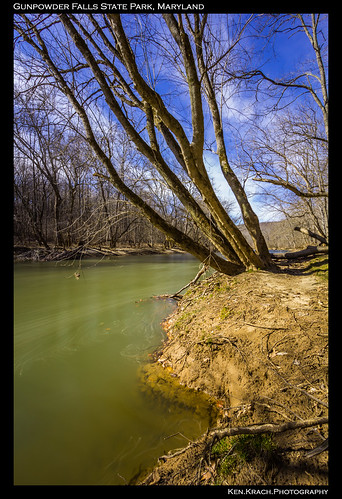
longexposure trees winter river maryland gunpowderfallsstatepark gunpowderriver marylandstatepark
Gunpowder 3-9-13 (4)
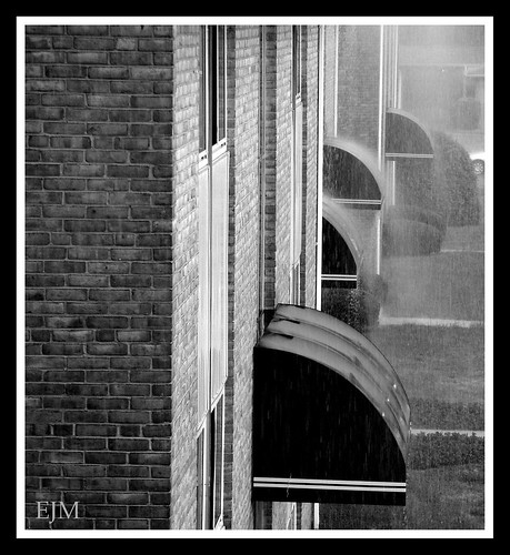
blackandwhite building rain apartment maryland blackdiamond harfordcounty blackwhitephotos
Rainy Day
longexposure sunset bulb pier maryland middleriver wilsonpoint
Double the View
longexposure bulb maryland middleriver wilsonpoint
Color Version
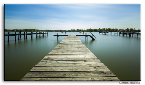
longexposure sunset pier middleriver
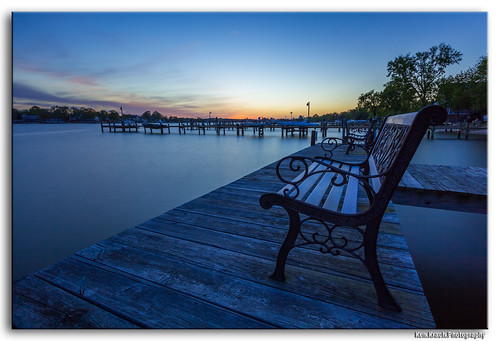
Stepping Down into the Sunset
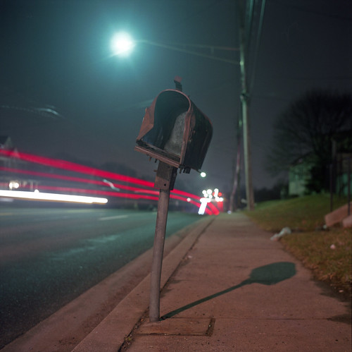
road county street light shadow usa color 6x6 tlr film night analog mailbox america dark square lens us reflex md focus long exposure fuji mechanical mail suburban box united tripod patrick twin maryland baltimore mat v 124g pro epson after medium format states manual 500 streaks joust yashica crooked 220 battered ligh estados 80mm f35 joppa fujicolor c41 unidos yashinon v500 160s autaut patrickjoust
Joppa Road
longexposure morning moon water bulb river gunpowderfallsstatepark gunpowderriver gunpowderstatepark
By the Dawns Early Moonlight (Updated)
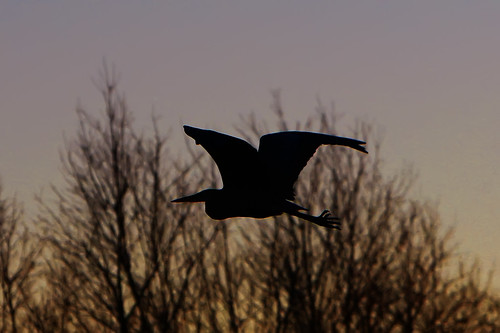
bird silhouette maryland baltimore backlit greatblueheron joppatowne canonef70200mmf28lisusm westtwinriver
I Wandered Through My Playing Cards
vanagram
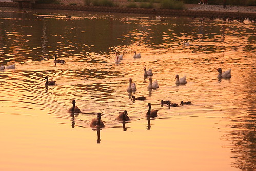
Sunset Geese
bird belair seagull maryland explore fowl ringbilledgull larusdelawarensis harfordcounty canonef70200mmf28lisusm bynumrunpark
Amongst Us
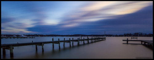
longexposure sunset water bulb clouds pier middleriver wilsonpoint
Showers Coming In
The view from the sliding door
plane unitedstates maryland baltimore airforce locations usairforce hawg mdang marylandairnationalguard 175thwing 104thfightersquadron fairchilda10cthunderboltii warfieldairnationalguardbase baltimoremartinstateglennlmartinstatemtnkmtn 780637mdcna100257
Hawg Wild
maryland transportation
Royal Blue Route
square slumber squareformat iphoneography instagramapp uploaded:by=instagram foursquare:venue=4ca39dca554b236a6d422848
The view from here. (Grandma got out just in the nick of time.)
nottingham bug insect flying maryland insects baltimorecounty ailanthuswebwormmoth attevaaurea
Ailanthus Webworm Moth
bird belair seagull maryland fowl ringbilledgull larusdelawarensis harfordcounty canonef70200mmf28lisusm bynumrunpark
Parallax Glide
park tree fall water colors leaves river nikon stream fallcolors scenic maryland baltimore elements gunpowder gunpowderriver d90 18105mm nikond90 nikkor18105mm elementsorganizer jpwphotography
A view of the River
sunset middleriver
Sunset Appears
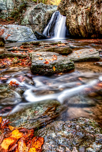
autumn leaves landscape waterfall md hdr
Heart in Kilgore
longexposure trees sun maryland gunpowderfallsstatepark gunpowderriver gunpowderstatepark
Devouring the Sun
Jerusalem Mills from years ago
plant tree
Trail-6755
Sunrise Shadows
Golden Promise
fall water maryland marshy 2014 pointbaltimorecounty
Marshy Point 10-2014
cows harfordcounty
Cows and Daisies
longexposure gunpowderfallsstatepark gunpowderriver gunpowderstatepark
Gunpowder Shine
longexposure morning bridge bulb maryland gunpowderfallsstatepark gunpowderriver gunpowderstatepark
Sunny Morning?
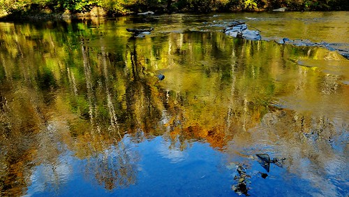
Golden reflections
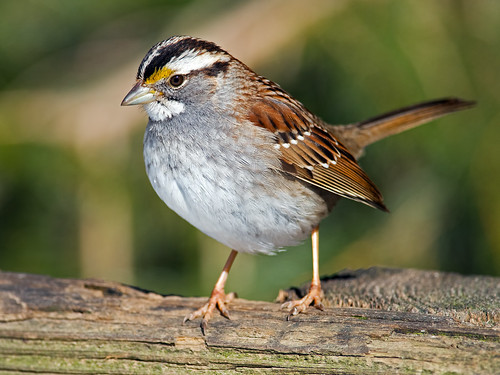
brian 300mm ii e nikkor afs edif whitethroated tc14 f40d kushnernikon lens300mmf4nikortc14e sparrowsparrowzonotrichia d810birdsbkushnerwildlifeanimalsbird watcher© albicollismarinerpointparkjoppamarylandmdnikond810nikon
White-throated Sparrow
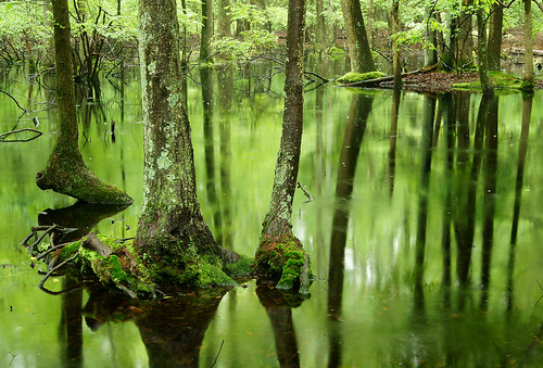
Swamped Forest
morning sunrise dawn
Later, But Still Early Morning