Elevation of Bow St, East Greenwich, RI, USA

Location: United States > Rhode Island > Kent County > East Greenwich >

Longitude: -71.483402

Latitude: 41.6423289

Elevation: 41m / 135feet

Barometric Pressure: 101KPa

Elevation Map:

elevation map of Bow St, East Greenwich, RI, USA

Satellite Map:

Satellite map of Bow St, East Greenwich, RI, USA

Related Photos:

pink abstract ice frozen heart melt sunroom icestract mt2ri
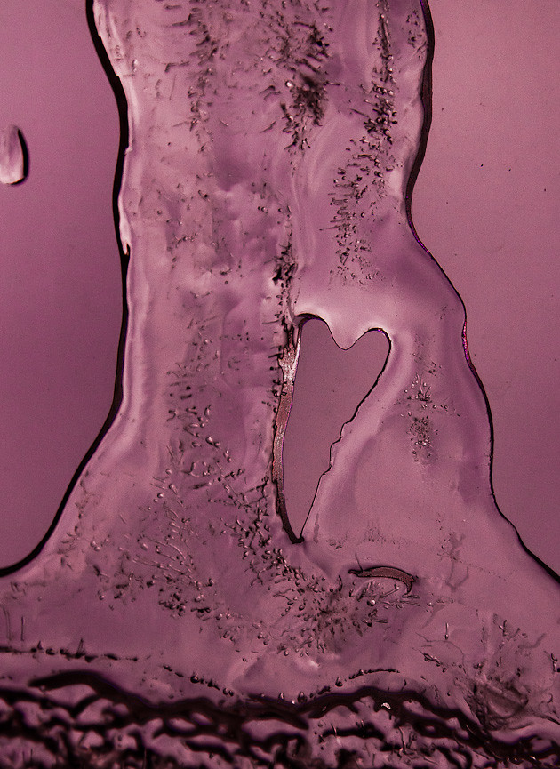
I ♥ Ice Icemelt Series #6 [Explored]
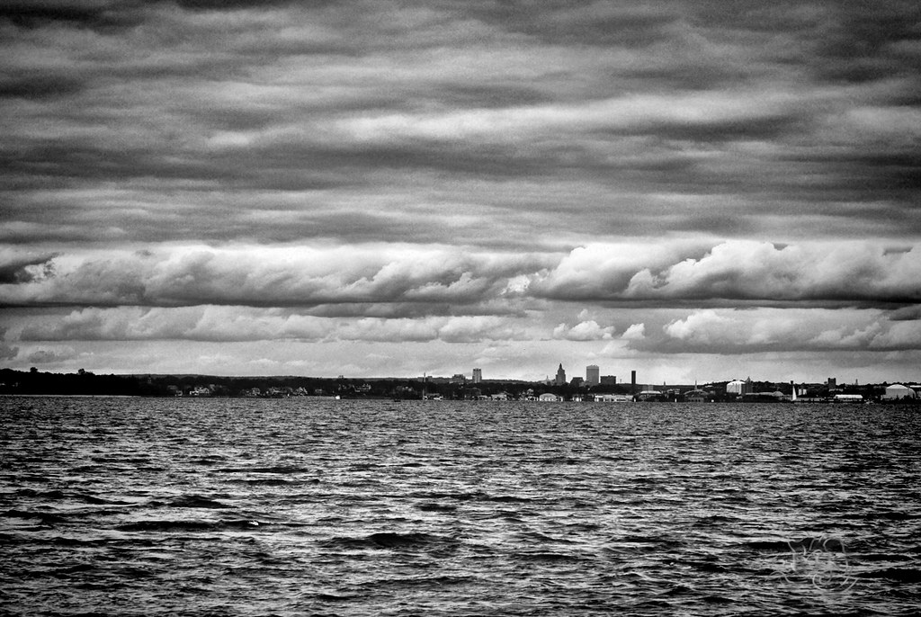
sunset usa island day cloudy providence rhodeisland rhode warwick conimicutbeach conimicutpointpark
Providence, Ri
sunset 327365
Fire Sky
plane fighter aircraft airshow rhodeisland raptor f22 usaf quonset d300 unitedstatesairforce watervapor demonstrationteam f22a 300mmf4d aircombatcommand northkingston nikonjim
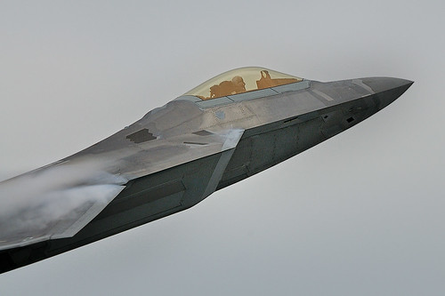
F-22 Raptor Takes Off
ri plane action aircraft jet airshow explore rhodeisland raptor f22 usaf quonset d300 unitedstatesairforce tc17eii explored demonstrationteam f22a 300mmf4d aircombatcommand platinumphoto northkingston flghter nikonjim
F-22 Raptor
pink flowers white yellow nikon lotus bokeh blossoms blooms f28 70200mm d90
lotus detail- better viewed full screen
odt providenceskyline conimicutpoint topazbw
ODC3 Black and White and Grainy
blue sky snow abstract reflection texture ice water lines drops random metallic bubbles freeze melt tones cracked sunroom connections icemelt icestract mr2ri
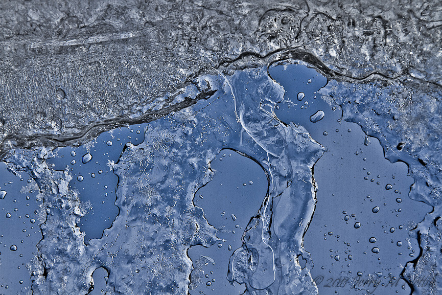
Metallic Ice ~ Icemelt Series #5 [Explored]
rain rolleiflex zeiss hc110 picnik automat coltstatepark ilforddelta100 tessar bristolri epson4490 autaut rolleiflexautomatmx
Colt State Park - Bristol, RI
macro grass yellow canon garden gold bokeh 7d 100views ornamental tamron 90mm flickraward 50comments afhht flickraward5 mygearandmepremium
24k Gold
cemetery warwick topaz pawtuxet odt oldcemetery lightroom3
ODC3 Yesterday/Yesteryear for September 30, 2011
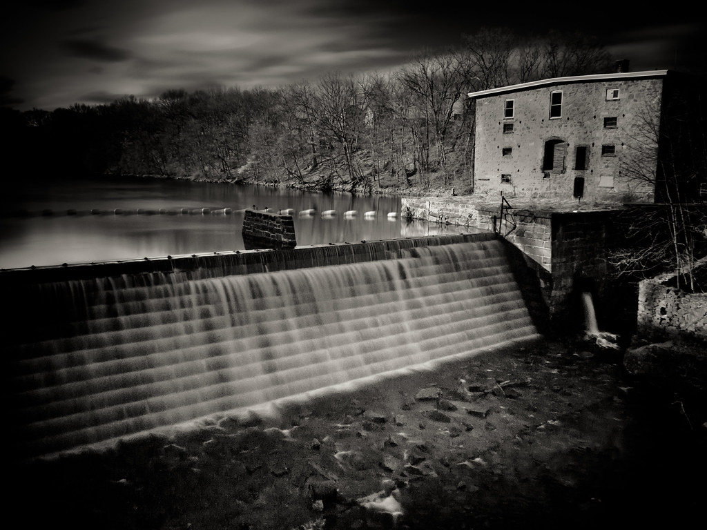
ri bw mill stone river lumix raw dam 14 historic panasonic arctic textile rhodeisland 25 infrared historical pancake mm f25 westwarwick pawtuxet gf1 pawtuxetriver arcticmill
The Arctic Mill Dam
usa lighthouse rhodeisland wickford narragansettbay northkingstown poplarpoint rhodeislandlighthouses rhodeislandlighthouse poplarpointlighthouse poplarpointlight wbnawneri
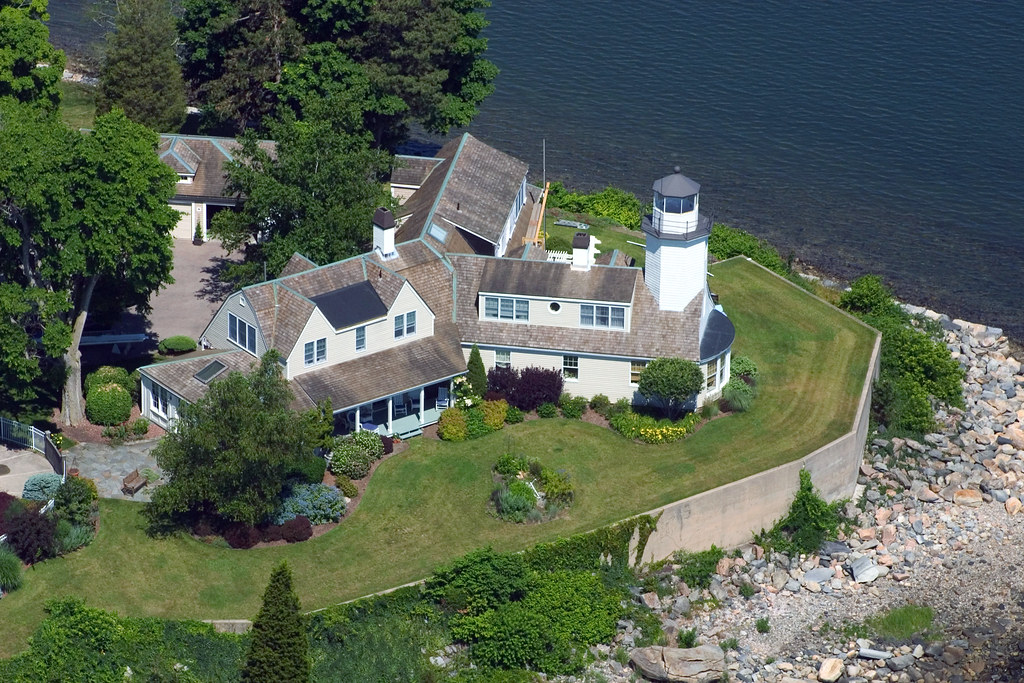
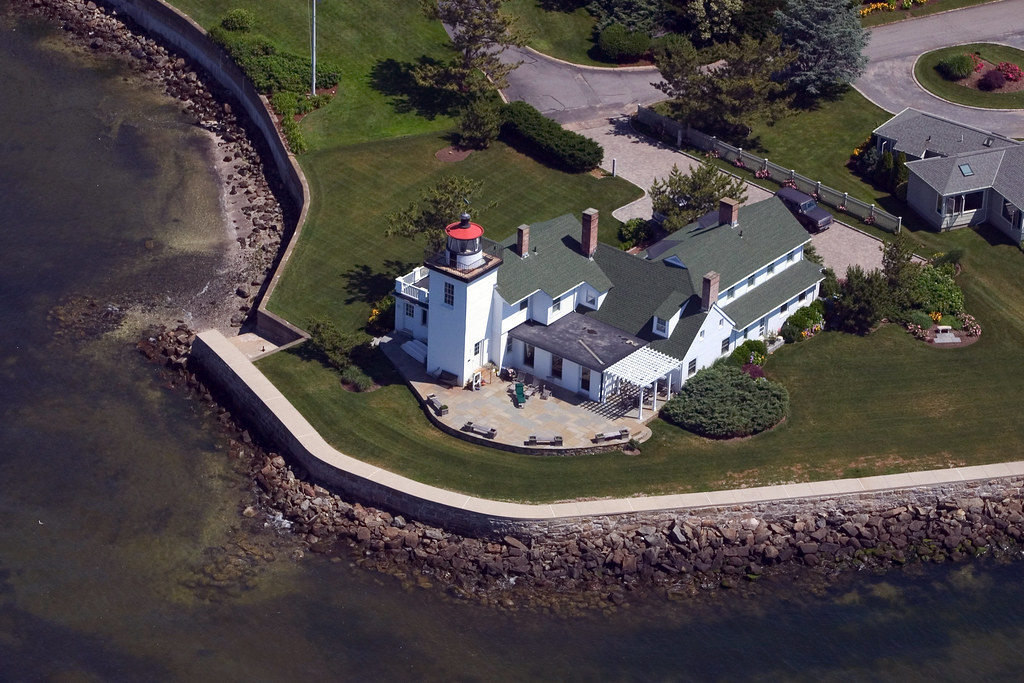
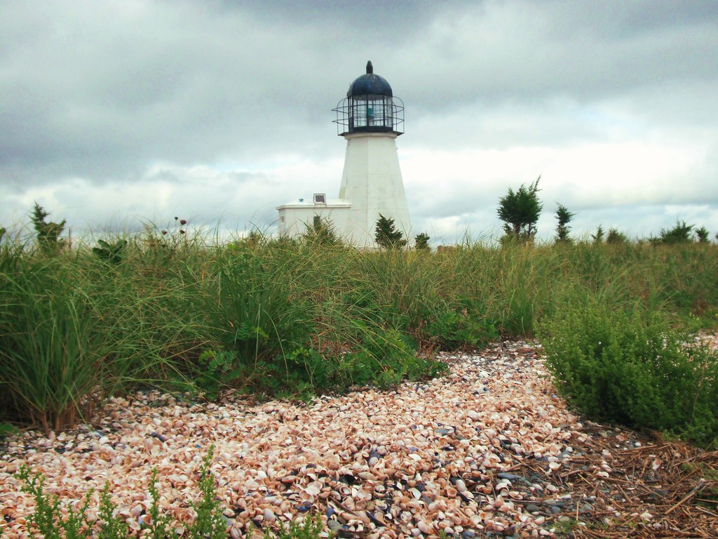
Poplar Point Lighthouse, Rhode Island
usa lighthouse aerial rhodeisland barrington nayattpoint narragansettbay nayatt nayattpointlight rhodeislandlighthouses rhodeislandlighthouse nayattpointlighthouse wbnawneri
Nayatt Point Lighthouse, Barrington, Rhode Island
ri history scary vampire newengland folklore dracula haunted spooky story rhodeisland legend vampyre mercybrown consumption hysteria ghostvillage jeffbelanger mercylenabrown mercylbrown legendtripping
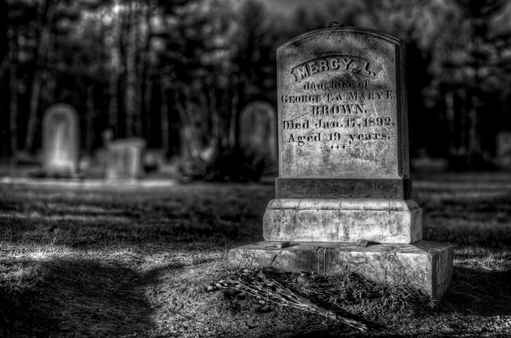
The Legend of Mercy L. Brown...vampire?
usa lighthouse aerial rhodeisland wickford northkingstown plumbeach rhodeislandlighthouses plumbeachlight rhodeislandlighthouse plumbeachlighthouse wbnawneri
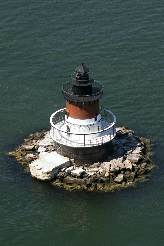
Aerial view of Plum Beach Lighthouse, RI
blue snow abstract ice water lines silver cool bubbles freeze melt coth5 icestract mt2ri
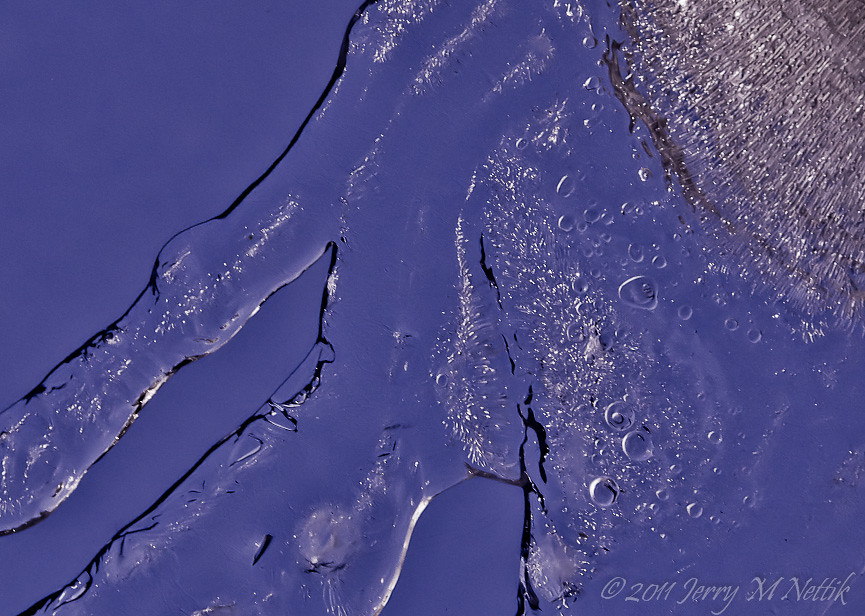
Meltdown ~ Icemelt Series #7
ocean ri bridge water boat rhodeisland narragansettbay jamestownbridge sirois manuallens nikond60 rhodeislandusa tamron17mmf35 model51b tamron17mmf35spbbarmchighspeedultrawideanglelensmodel51b artsirois saunderstownrhodeislandusa 20fhorb6fhlenshood
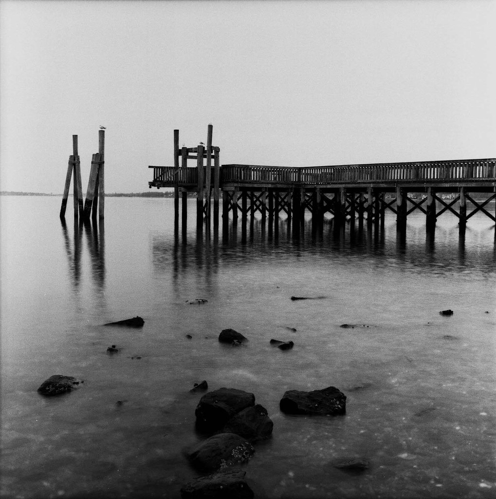
Narragansett Bay View 10
ocean ri light sea coastguard usa lighthouse beach water grass seashells america port island coast harbor lighthouses waterfront dune shell newengland atlantic rhodeisland american newport shore portsmouth seashell hafen leuchtturm prudence narragansett uscg tauntonriver uscoastguard midden narragansettbay prudenceisland the4elements prudenceislandlighthouse wbnawneri davensuze
Prudence Island Lighthouse, Rhode Island
ri mill window view rhodeisland westwarwick lippitt
Street View
square squareformat hudson iphoneography instagramapp uploaded:by=instagram foursquare:venue=4b701bc5f964a52072072de3
The leafless view from training.