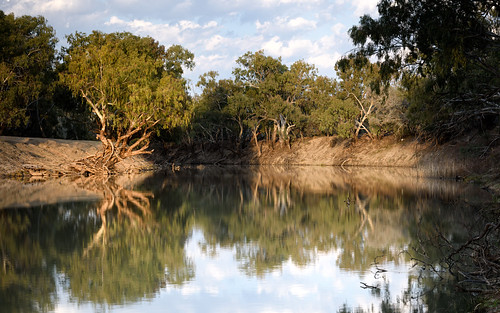
Elevation map of Bourke NSW, Australia

Location: Australia > New South Wales > Bourke Shire Council >

Longitude: 145.938194

Latitude: -30.090661

Elevation: 110m / 361feet

Barometric Pressure: 100KPa

Elevation Map:

elevation map of Bourke NSW, Australia

Satellite Map:

Satellite map of Bourke NSW, Australia

Related Photos:

australia nsw newsouthwales
20130907_1422 Darling River at Bourke
Darling River at Bourke side view
bridge flood australia nsw bourke darlingriver westernnsw backobourkeexhibitioncentre
Darling River flooding at Back O' Bourke Exhibition Centre
trip holiday water dam australia nsw newsouthwales aus gin cottongin processingplant flyingtrip aweekendaway bourketrip 7kmseofbourke
bourke to dubbo at 7,450'
trip holiday australia nsw newsouthwales aus flyingtrip aweekendaway bourketrip 6kmseofbourke
bourke to dubbo at 7,450'
Darling River
outbacknsw landscape mynikonlife australia holiday nsw travels landscapephotography 2017 dirttrack travelphotography tree northbourke newsouthwales jasonbruth subject afsnikkor2470mmf28eedvr nikon d810 country nikond810 au
AROUND THE TREE
outbacknsw nikon mynikonlife australia holiday nsw darlingriver landscapephotography 2017 travelphotography newsouthwales jasonbruth travels nikond810 afsnikkor70200f28gedvrii d810 northbourke country
2017-09-25 Darling River Golden Glow_DSC3342.jpg
old travel color history rural photography is photo bush colours jeep image sony rustic australia images mining nsw trucks hayes alpha australianlandscape myphoto opal bourke walgett dubbo “my cowra “road trip” lamdscape “australian “september australianimages a65 “danny 2013 “patrick “ben images” “wide angle” of ridge” fields” chandler” thelandofoz snaps” hayes” thisisaustralia “opal “lightning dannyhayes nswrural sonya65 a65v 2013” “brewarrina” australianphotoss nswthis ruraldanny aphotofromaustralia takenbydannyhayes myaustralianphotos snapshotsfromaustralia
LR - Night time in Bourke NSW
panorama river darling hdr motorcycling hugin darlingriver barwon barwonriver luminancehdr
dsc04118 - dsc04121_hdr_pregamma_1_mantiuk06_contrast_mapping_0.65_saturation_factor_1.36_detail_factor_7.2
trip holiday australia double nsw newsouthwales trucks dust aus bourke orana stopped roadtrain auspctagged flyingtrip pc2840 aweekendaway bourketrip 13kmnwofbourke droppingdust toadtrain
Trucks and dust
northbourke nikon sunset sunsetglow mynikonlife australia reflections holiday nsw maysbend darlingriver landscapephotography 2017 travels travelphotography river outbacknsw newsouthwales jasonbruth subject afsnikkor2470mmf28eedvr country d810 landscape nikond810 au
THE LAST GLIMMER
landscape flood australia outback bourke darlingriver markfavs
Darling River in Flood, 2010
P1000223.jpg
landscape flood australia outback bourke darlingriver
Darling River in Flood, 2010
Near Bourke, NSW
australia canon6d canonef1635mmf4lis landscape nature river water wharf bourke newsouthwales aus
Darling River from the Bourke Wharf
Telecom Crossing Under the Darling River Bourke 1992 23_Launch proceeds towards the southern bank Trenching cotinues north ba
Telecom Crossing Under the Darling River Bourke 1992 01_Site Preliminary Inspection of River Looking Upstream
outback outbackqueensland coloursoftheoutback drone phantom4
Bourke DJI_0416 Web
northbourke darlingriver dualiso outback bourke newsouthwales northbourkebridge historicbridge australia nsw aus
Old North Bourke Bridge
trip mountain holiday australia farmland nsw newsouthwales aus flyingtrip aweekendaway mountoxley 8kmneofbourke bourketrip
Flight - Dubbo to Bourke @ 6000'