Elevation of Bouquetins
Location: Italy > Aosta > Aosta Valley > Bionaz >
Longitude: 7.545556
Latitude: 45.981667
Elevation: 3822m / 12539feet
Barometric Pressure: 63KPa
Elevation Map:
Satellite Map:
Related Photos:
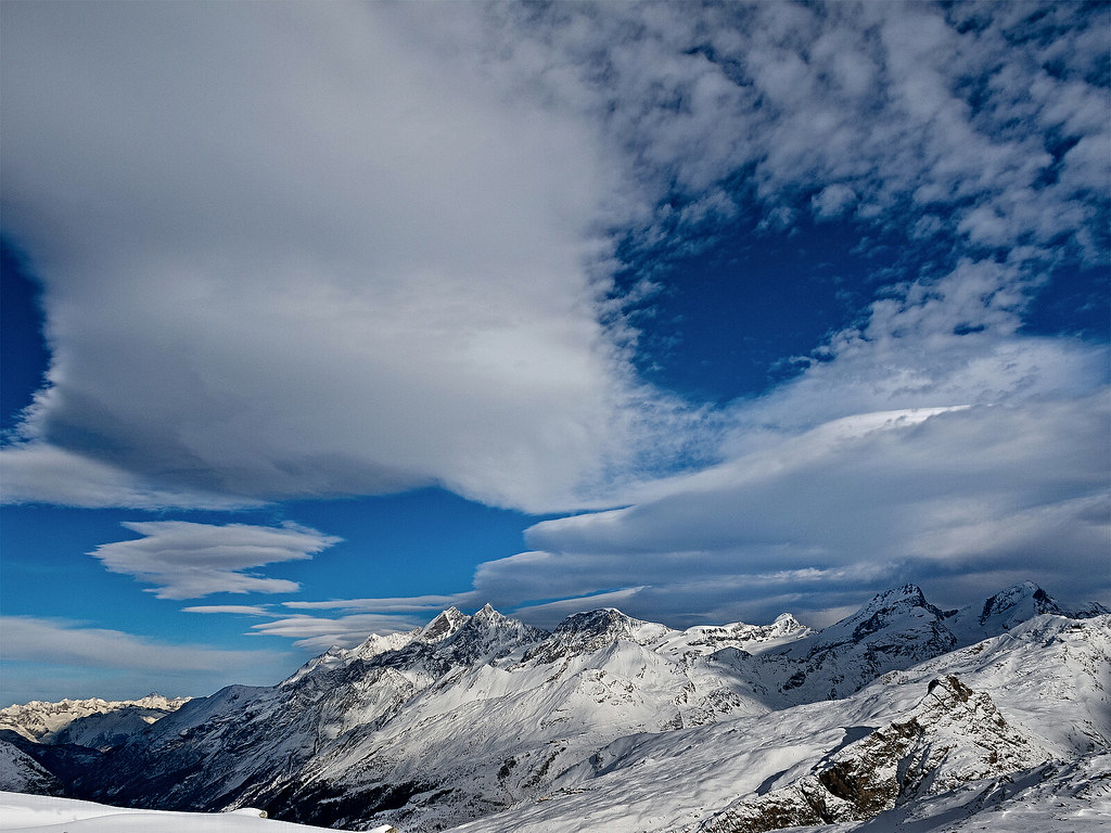
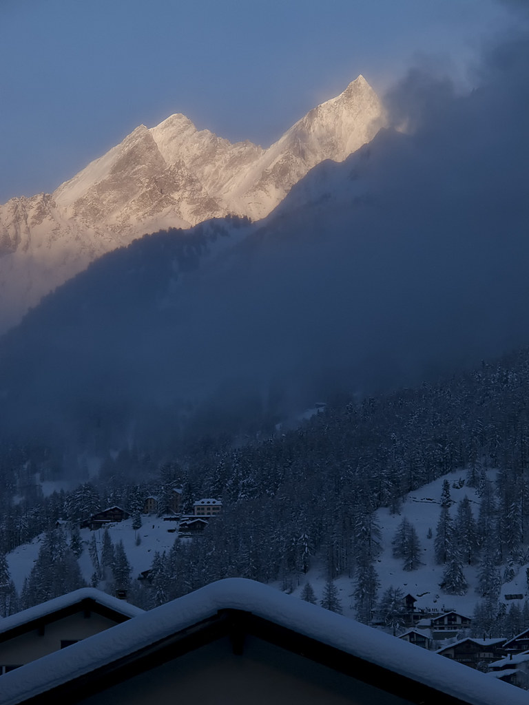
Clouds over Mischabel Range
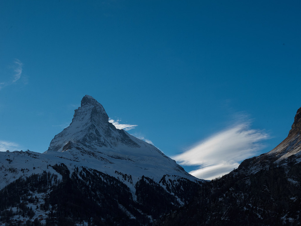
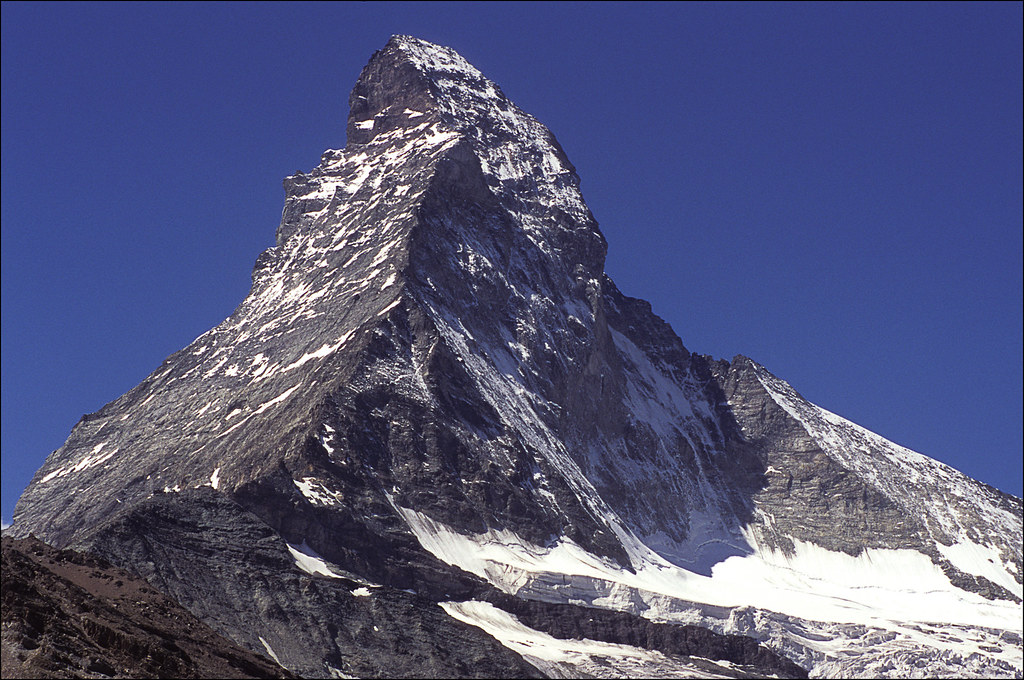
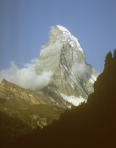
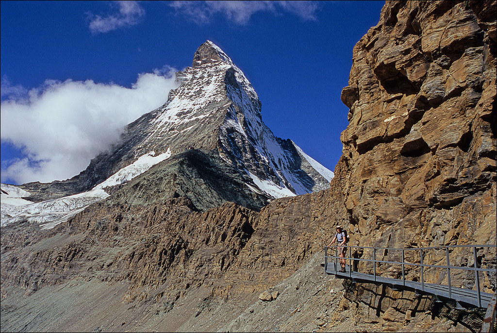
Mt. Cervin
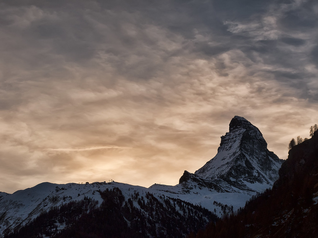
Christmas Eve

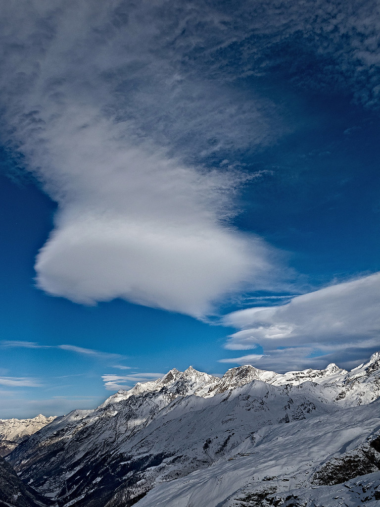
Mischabel Range - View From Aroleid
Clouds over Mischabel Range
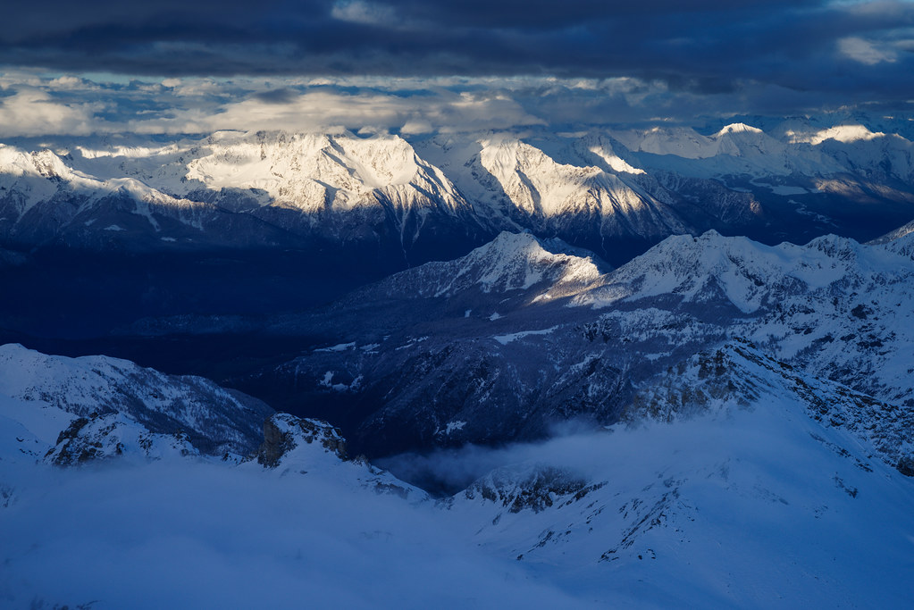
Last Light on the Mischabel Range
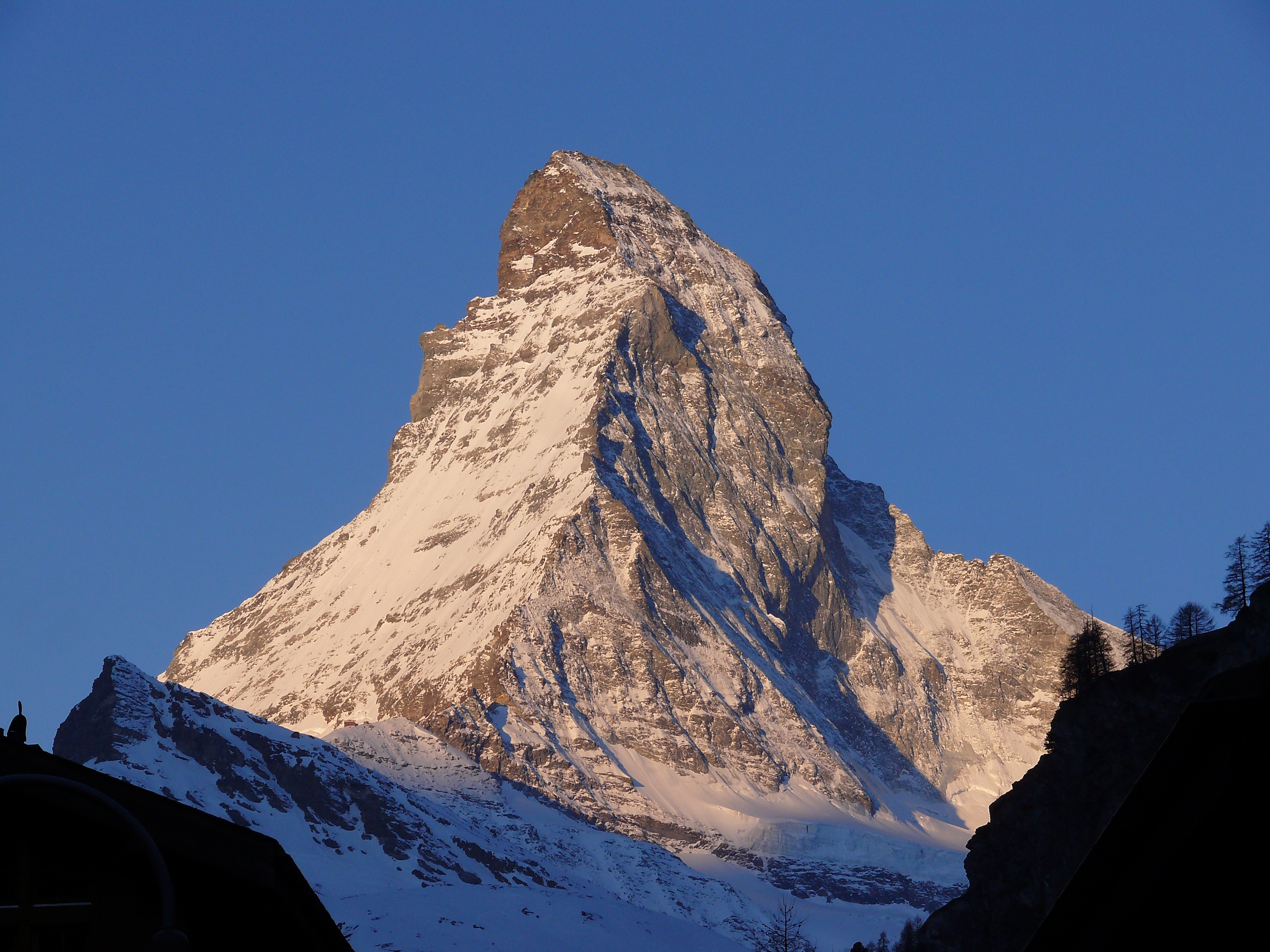
Sunrise on the Matterhorn, Zermatt
the perfect peak

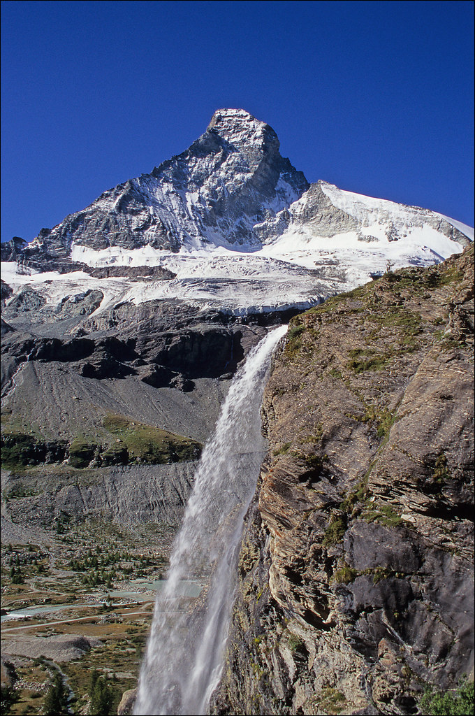
Cervino #2
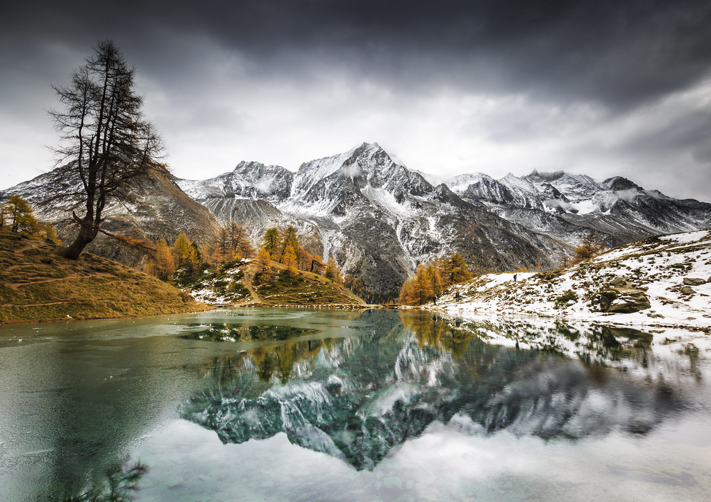
Lac Bleu on a frosty autumn morning

Light on the Matterhorn

Grazing with a view
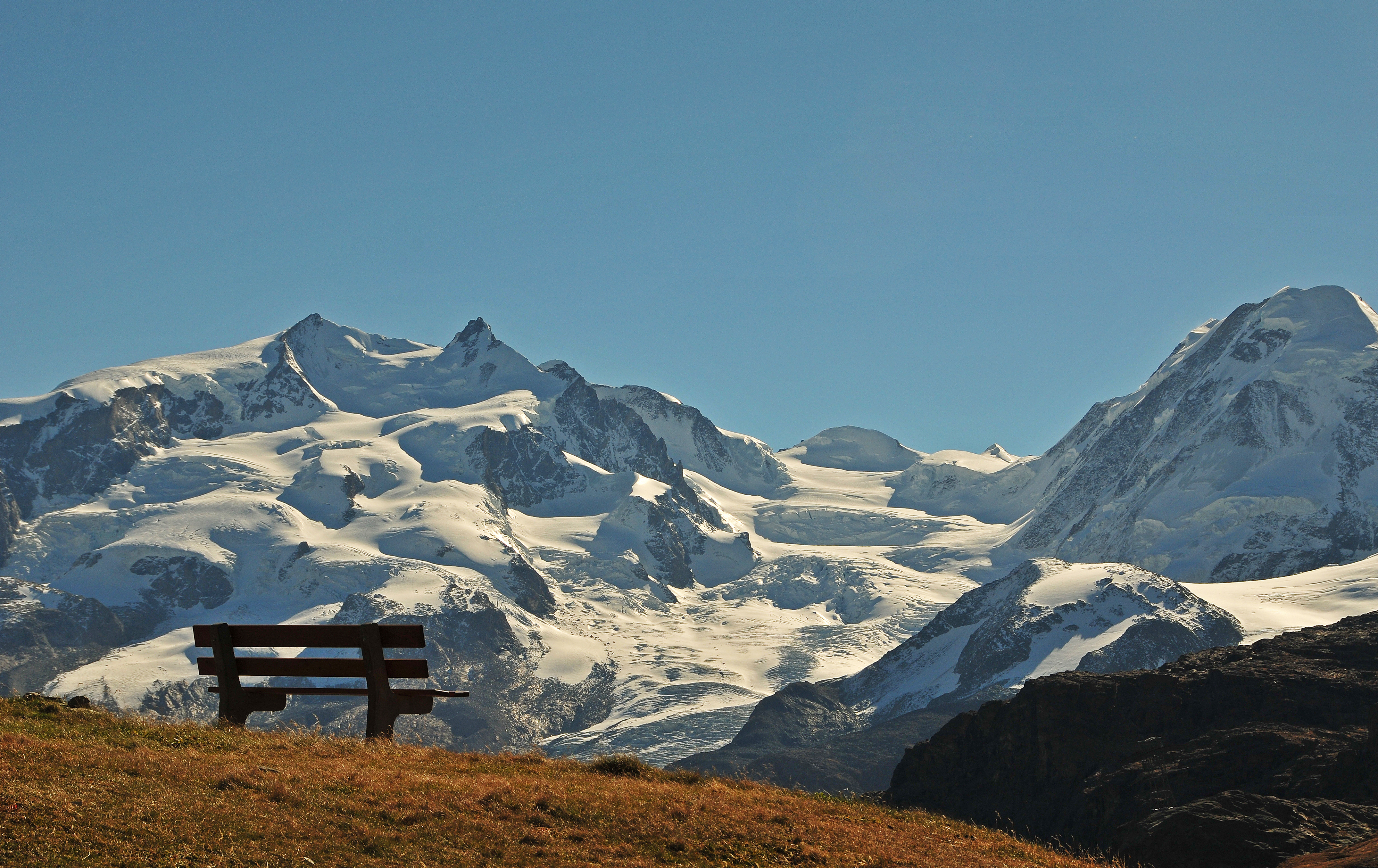
bench with a view !
Landscape from Hörnli Hut - Matterhorn - Switzerland
Cervino #3
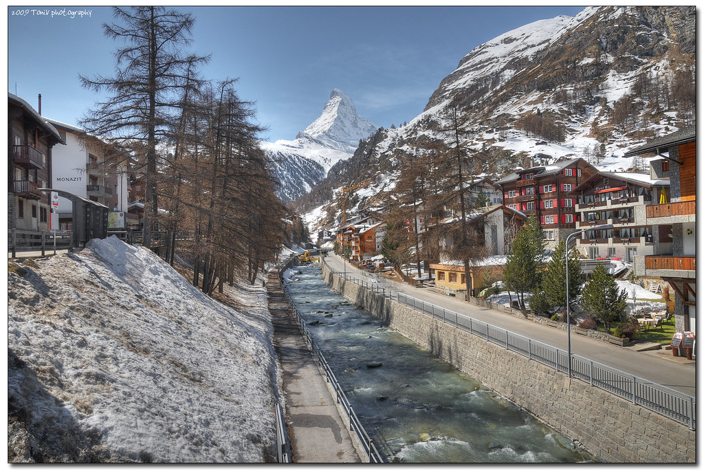
matterhorn from zermatt
matterhorn approach

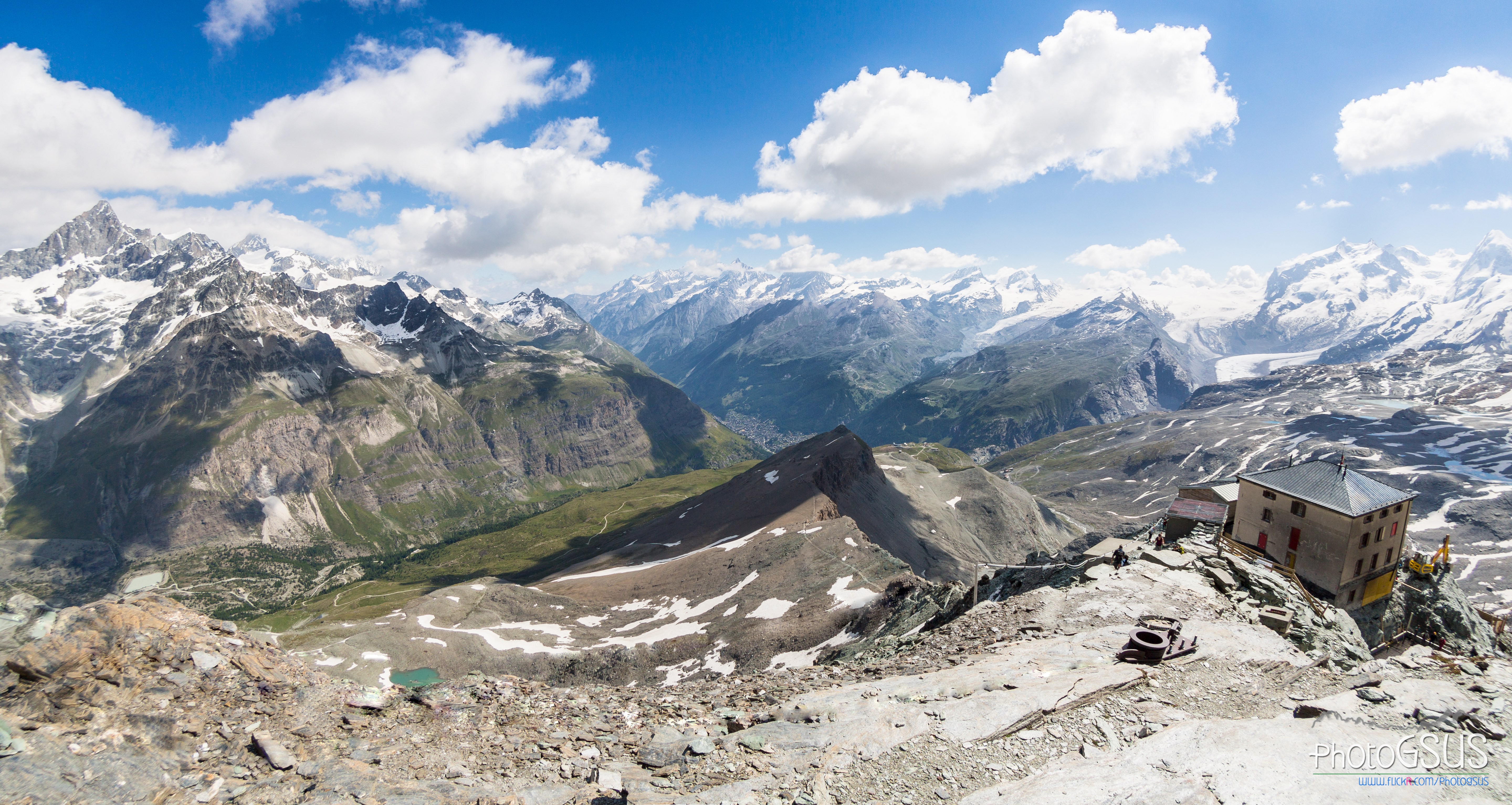
the toilet with best view in the world

Blue Lake
classic zermatt
that mountain again
Topographic Map of Bouquetins
Find elevation by address:

Places near Bouquetins:
Mont Brulé
La Singla
Dent Blanche
Satarma
Bionaz
Cervinia Valtournenche
Grand Cornier
Cervinia - Breuil
Breuil-cervinia
Matterhorn
Matterhorn Mountain
Aouille Tseuque
Valtournenche, Aosta Valley, Italy
Valtournenche
Localita' Singlin, 1
Singlin
La Serpentine
Valtournenche
Paquier
Furggen
Recent Searches:
- Elevation of Corso Fratelli Cairoli, 35, Macerata MC, Italy
- Elevation of Tallevast Rd, Sarasota, FL, USA
- Elevation of 4th St E, Sonoma, CA, USA
- Elevation of Black Hollow Rd, Pennsdale, PA, USA
- Elevation of Oakland Ave, Williamsport, PA, USA
- Elevation of Pedrógão Grande, Portugal
- Elevation of Klee Dr, Martinsburg, WV, USA
- Elevation of Via Roma, Pieranica CR, Italy
- Elevation of Tavkvetili Mountain, Georgia
- Elevation of Hartfords Bluff Cir, Mt Pleasant, SC, USA