Elevation of Boulder, WY, USA
Location: United States > Wyoming > Sublette County >
Longitude: -109.72056
Latitude: 42.7461611
Elevation: 2138m / 7014feet
Barometric Pressure: 78KPa
Elevation Map:
Satellite Map:
Related Photos:
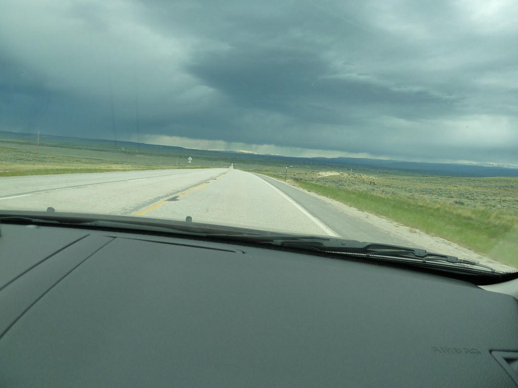
views from the road: from Rock Springs to Jackson
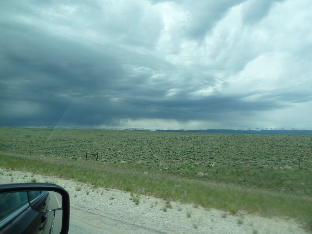
views from the road: from Rock Springs to Jackson
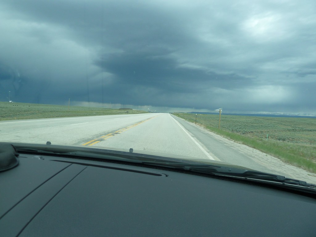
views from the road: from Rock Springs to Jackson
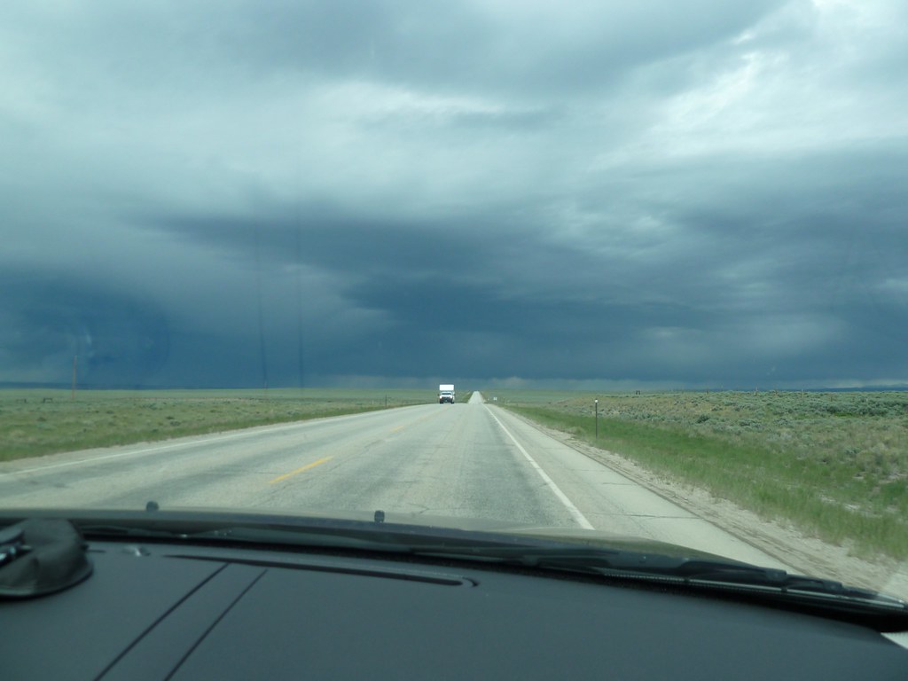
views from the road: from Rock Springs to Jackson

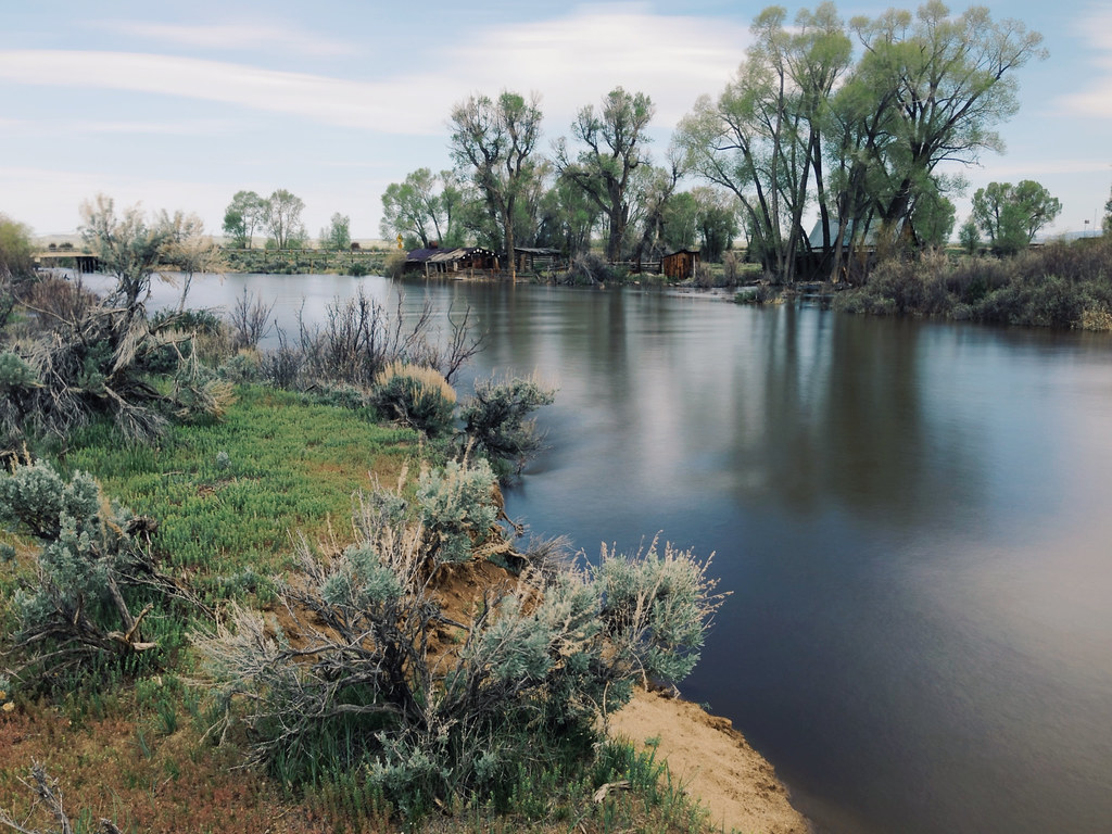
Aerial View of Fremont Lake, Wyoming
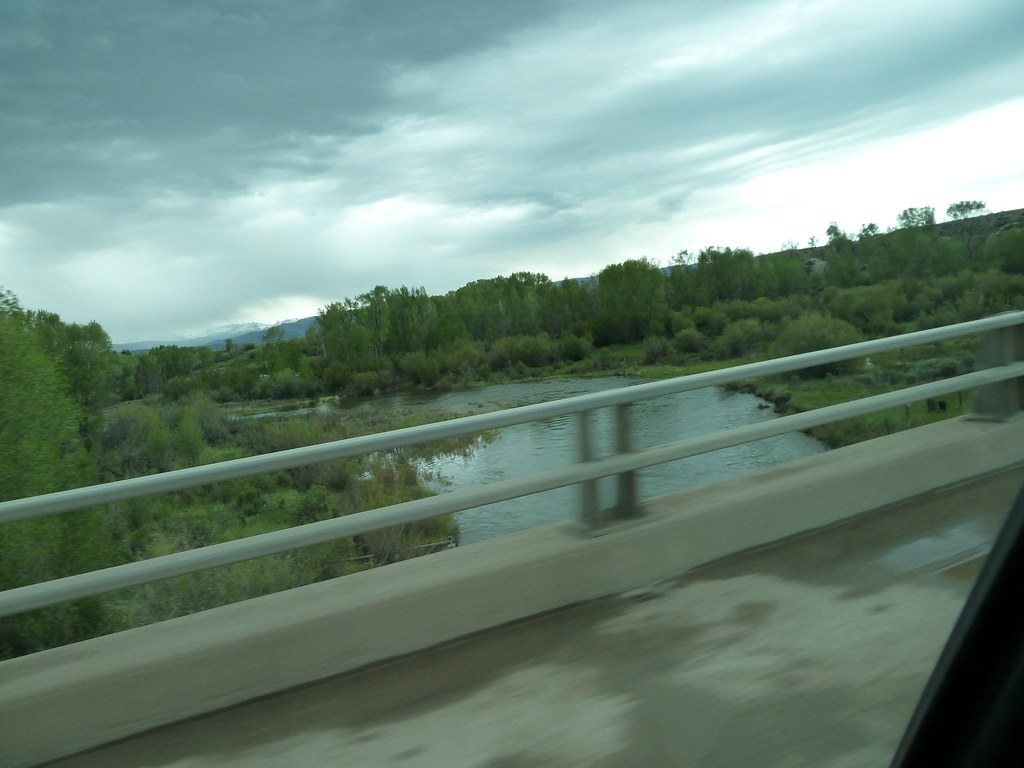
views from the road: from Rock Springs to Jackson
Richie's Vible

Weg naar Vernal

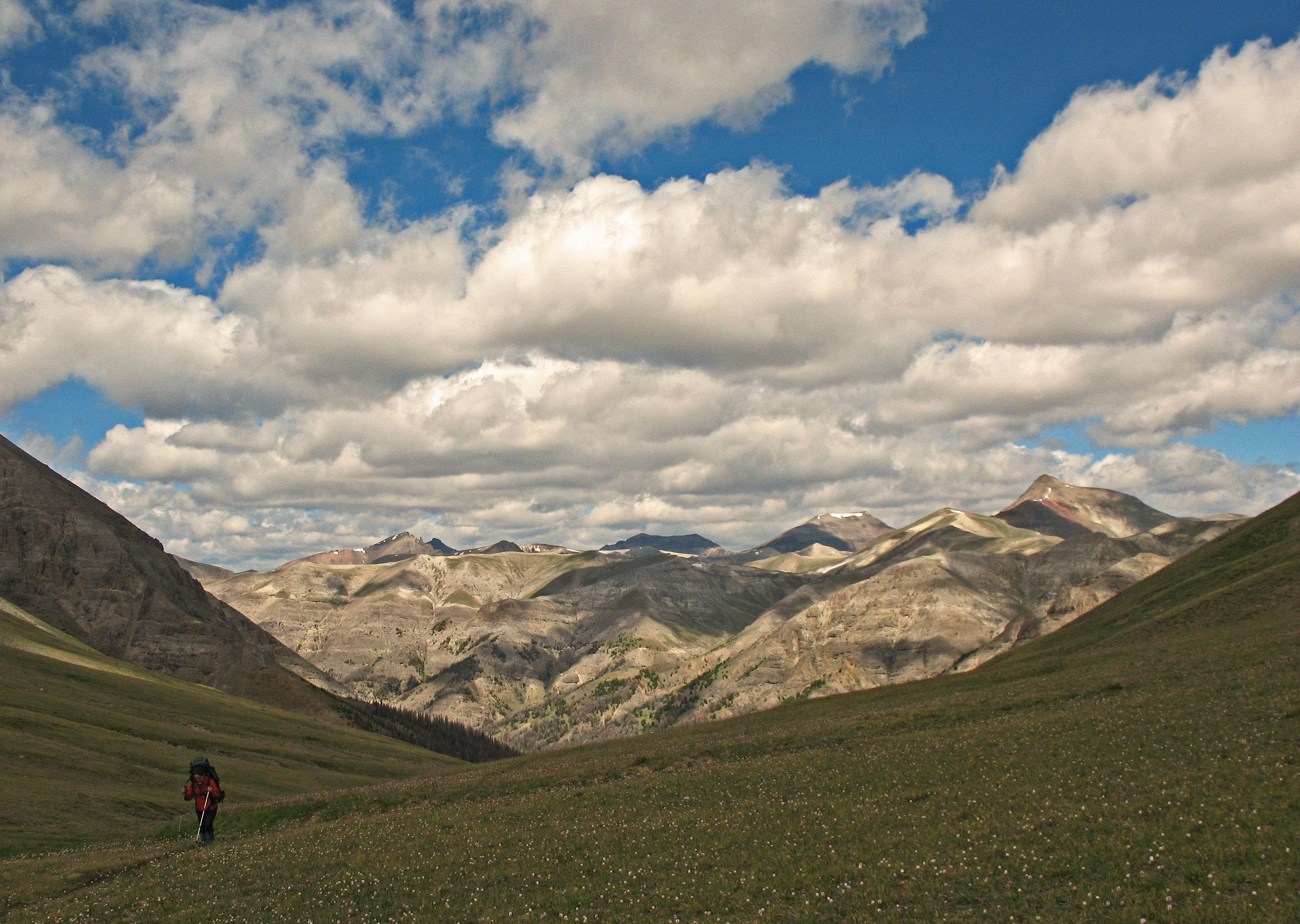
Upcanyon from near the mouth of Boulder River canyon. Wind River Mtns.

DSC07084 Fluß
Open Skies
Topographic Map of Boulder, WY, USA
Find elevation by address:

Places near Boulder, WY, USA:
Sublette County
Fremont Lake Road
Sublette County Court House
Pinedale
Redstone New Fork River Road
Pinedale, WY, USA
1100 Wilson St
12 Utility Ln
Mack Rd, Big Piney, WY, USA
Cora
Daniel
Marbleton
Big Piney
Snowmobile Ln, Pinedale, WY, USA
16 White Bird Pl
1874 Wy-352
Klondike Peak
Half Way Drive
Elk Horn Road
6 Forest Ln
Recent Searches:
- Elevation of Corso Fratelli Cairoli, 35, Macerata MC, Italy
- Elevation of Tallevast Rd, Sarasota, FL, USA
- Elevation of 4th St E, Sonoma, CA, USA
- Elevation of Black Hollow Rd, Pennsdale, PA, USA
- Elevation of Oakland Ave, Williamsport, PA, USA
- Elevation of Pedrógão Grande, Portugal
- Elevation of Klee Dr, Martinsburg, WV, USA
- Elevation of Via Roma, Pieranica CR, Italy
- Elevation of Tavkvetili Mountain, Georgia
- Elevation of Hartfords Bluff Cir, Mt Pleasant, SC, USA