Elevation of Bou Saada, Algeria
Location: Algeria > M'sila Province > Bou Saada >
Longitude: 4.1794668
Latitude: 35.2102695
Elevation: 590m / 1936feet
Barometric Pressure: 94KPa
Elevation Map:
Satellite Map:
Related Photos:

Bou Saâda

Bou Saâda (Algérie) Hotel Le Caîd

Bou Saâda (Algérie) Hotel Transatlantique
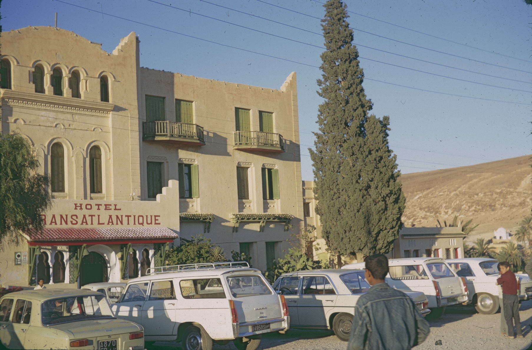
Bou Saâda (Algérie) Hotel Transatlantique
Topographic Map of Bou Saada, Algeria
Find elevation by address:

Places near Bou Saada, Algeria:
Recent Searches:
- Elevation of Corso Fratelli Cairoli, 35, Macerata MC, Italy
- Elevation of Tallevast Rd, Sarasota, FL, USA
- Elevation of 4th St E, Sonoma, CA, USA
- Elevation of Black Hollow Rd, Pennsdale, PA, USA
- Elevation of Oakland Ave, Williamsport, PA, USA
- Elevation of Pedrógão Grande, Portugal
- Elevation of Klee Dr, Martinsburg, WV, USA
- Elevation of Via Roma, Pieranica CR, Italy
- Elevation of Tavkvetili Mountain, Georgia
- Elevation of Hartfords Bluff Cir, Mt Pleasant, SC, USA