Elevation of Botolan, Zambales, Philippines
Location: Philippines > Central Luzon > Zambales >
Longitude: 120.025558
Latitude: 15.2893147
Elevation: 14m / 46feet
Barometric Pressure: 101KPa
Elevation Map:
Satellite Map:
Related Photos:

Trip to Candelaria 11

Good morning! Happy Saturday. #sunrise #roadtrip #pasyalnikramrevilo #travel2014 #summernikramrevilo2014 #100happydays #livingthelife

Zambales sunset

Worth the climb ???? ???? #climb #hike #trek #rockyroad #descend #acsend #fullfilment #endurancetest #camping #pinetrees #mossyforest #powerofnature #coldweather #travel #explore #adventure #igphilippines #travelph #itsmorefunintheph

Botolan, Zambales

Rice fields and the Zambales mountains

Rice field in Zambales
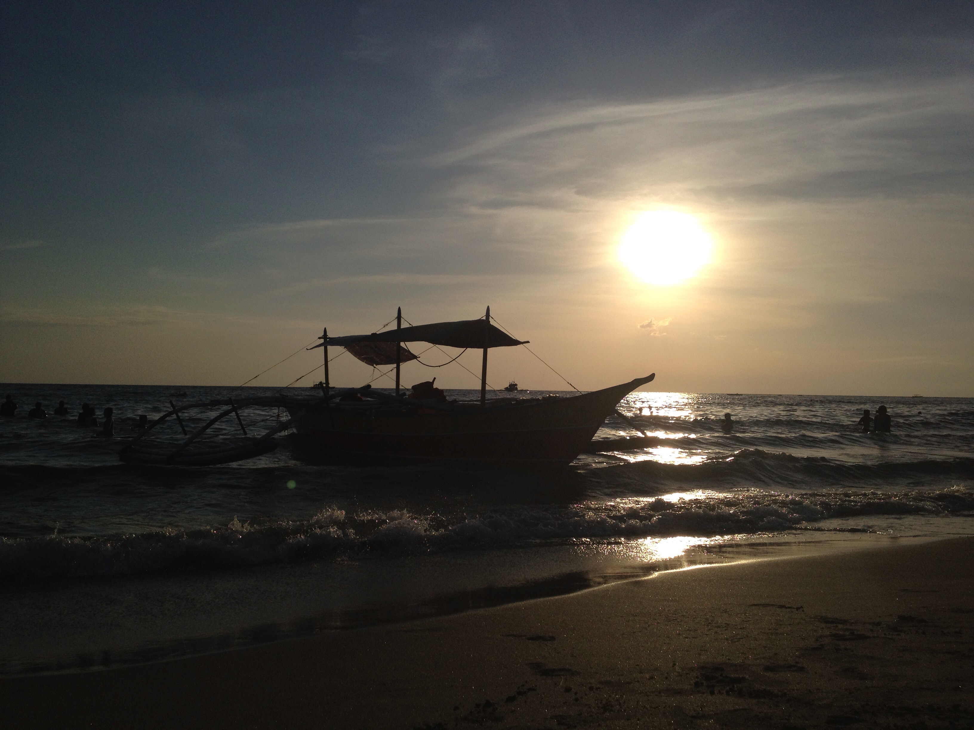
Sunset in Zambales

Trip to Candelaria 12
Topographic Map of Botolan, Zambales, Philippines
Find elevation by address:

Places in Botolan, Zambales, Philippines:
Places near Botolan, Zambales, Philippines:
Balili
Iba ( Zambales )
Iba, Zambales
Iba
Cabangan
San Juan Elementary School
San Juan
Palauig
San Felipe
Pastor Street
Pastor Street
San Narciso
San Jose
Alunan
Tarukan
Mount Pinatubo
Mount Pinatubo
San Marcelino
Camp Sanchez
Ptt Castillejos
Recent Searches:
- Elevation of Corso Fratelli Cairoli, 35, Macerata MC, Italy
- Elevation of Tallevast Rd, Sarasota, FL, USA
- Elevation of 4th St E, Sonoma, CA, USA
- Elevation of Black Hollow Rd, Pennsdale, PA, USA
- Elevation of Oakland Ave, Williamsport, PA, USA
- Elevation of Pedrógão Grande, Portugal
- Elevation of Klee Dr, Martinsburg, WV, USA
- Elevation of Via Roma, Pieranica CR, Italy
- Elevation of Tavkvetili Mountain, Georgia
- Elevation of Hartfords Bluff Cir, Mt Pleasant, SC, USA