Elevation of Boston, MA, USA
Location: United States > Massachusetts > Suffolk County >
Longitude: -71.058880
Latitude: 42.3600825
Elevation: 10m / 33feet
Barometric Pressure: 101KPa
Elevation Map:
Satellite Map:
Related Photos:

Boston from Cambridge *E#454
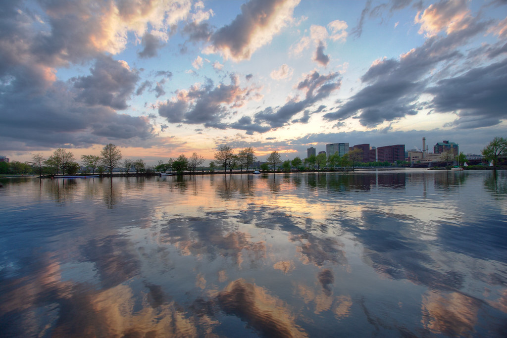
Sunset on the Charles

Boston from Nahant East Point

Back Bay Boston Skyline under Heavy Fog at Dawn with Mirror Reflection on Charles River - Cambridge Massachusetts USA

Nahant East Point
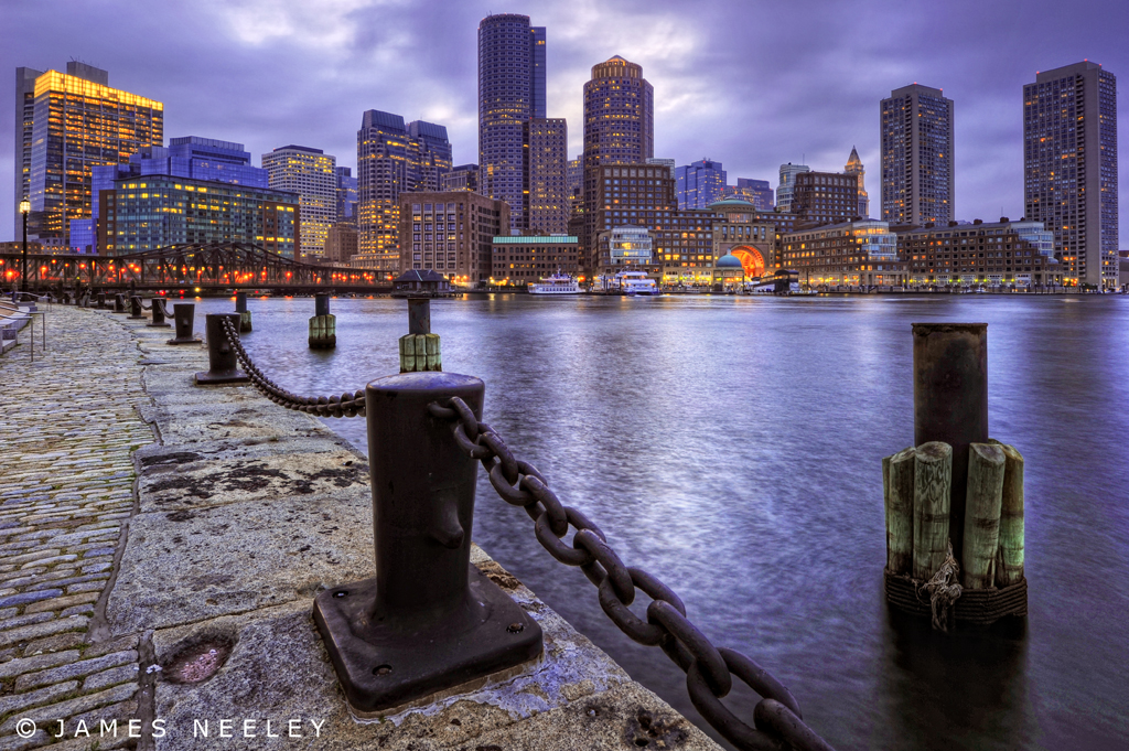
Blue Hour Boston
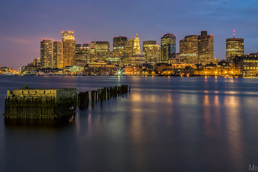
Boston Blue Hour

Boston Boston Bo-Boston

View of Hull from Fort Revere
View from North Hall

View From the Fraternity, Boston
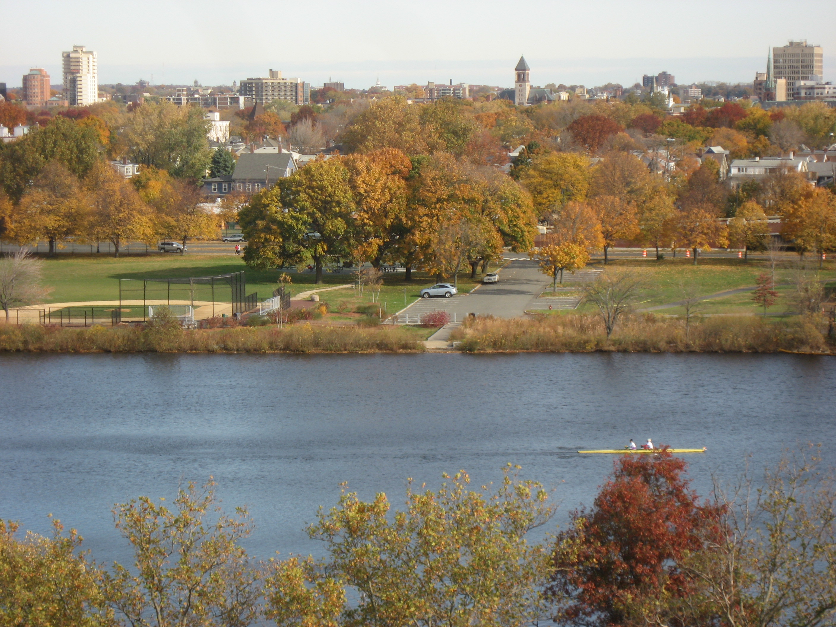
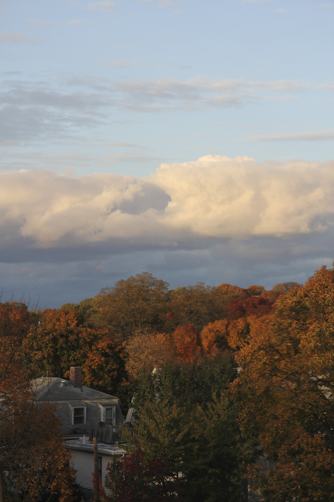
Charles River in the Fall
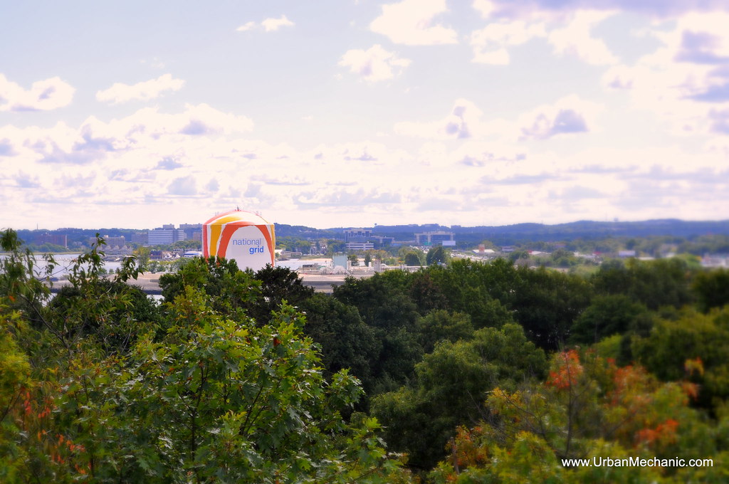
National Grid Water Tower viewed from Savin Hill

Office View
Jens Apartment View
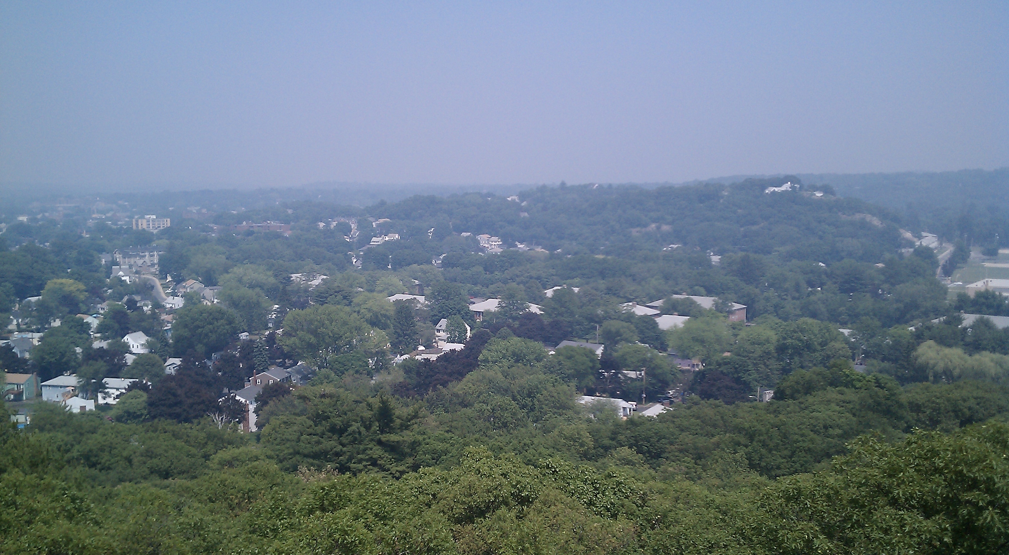
View from the Fells

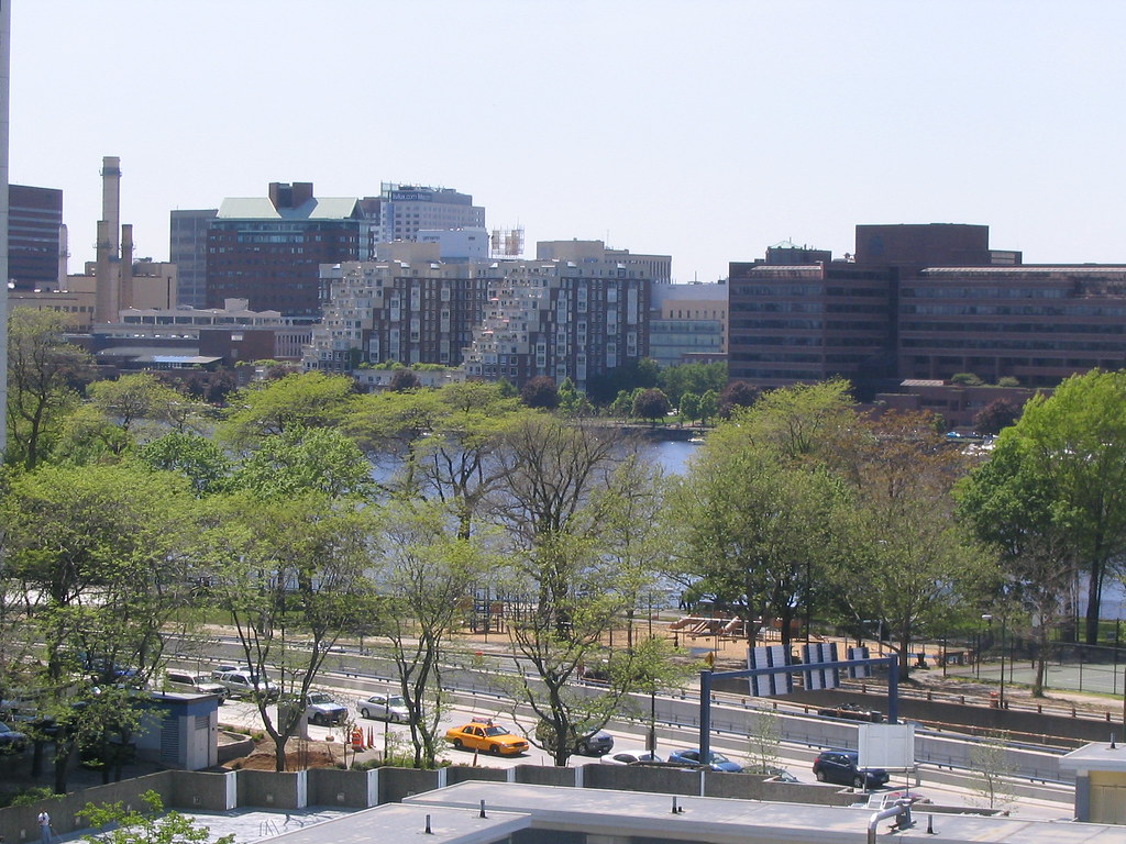
Back Bay / Charles River General View

Back Bay / Charles River General View

Back Bay / Charles River General View

Back Bay / Charles River General View
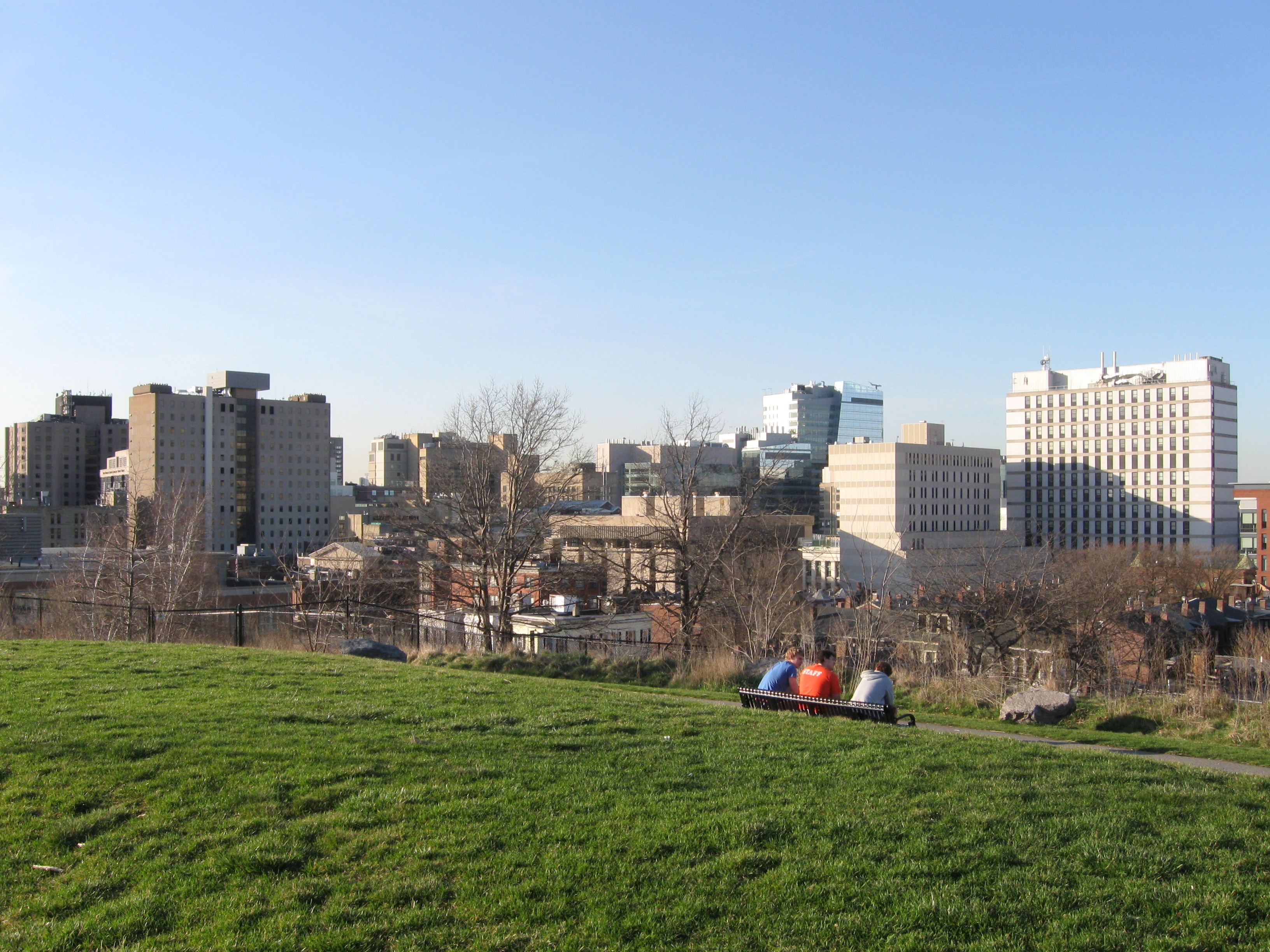
Longwood Medical Area from Fitzgerald Park
Topographic Map of Boston, MA, USA
Find elevation by address:

Places in Boston, MA, USA:
Dorchester
Fenway/kenmore
Beacon Hill
Back Bay East
Back Bay
Downtown
Mission Hill
Brook Farm
Seaport District
D Street / West Broadway
Thompson Square / Bunker Hill
West End
Forest Hills / Woodbourne
East Boston
Financial District
South End
South Boston
Prudential / St. Botolph
Commonwealth
Jeffries Point
Charlestown
North End
Back Bay West
Roslindale
Upper Washington / Spring Street
Shawmut
Oak Square
Harbor View / Orient Heights
Centre-south
Columbus
Medical Center Area
Central-maverick Square / Paris Street
Chinatown
Codman Square
St. Elizabeth's
Telegraph Hill
Stony Brook / Cleary Square
Lower Washington / Mount Hope
Meeting House Hill
Washington Park
Highland Park
Bellevue Hill
Columbus Park / Andrew Square
Roslindale Avenue
Children's Road
Goldenson Building
Hyde Park
Lavietes Pavilion
Dudley Square
Hyde Square
Fort Point Channel Historic District
Dorchester Center
Franklin Field South
Readville
Lower Allston
Eagle Hill
Central Square
City Point
Brighton
Boston Theater District
West Roxbury
Places near Boston, MA, USA:
10 Tremont St
262 Washington St
Link
Merchants Row
Water Street
75 State St
75 State St
One Federal St.
Faneuil Hall Marketplace
Downtown
Parla
45 Broad Street Boston, Ma 02109
Milk Street
2 Oliver St
Financial District
Aquarium T Station
265 Franklin St
101 Broad St
175 Federal St
Aquarium
Recent Searches:
- Elevation of Corso Fratelli Cairoli, 35, Macerata MC, Italy
- Elevation of Tallevast Rd, Sarasota, FL, USA
- Elevation of 4th St E, Sonoma, CA, USA
- Elevation of Black Hollow Rd, Pennsdale, PA, USA
- Elevation of Oakland Ave, Williamsport, PA, USA
- Elevation of Pedrógão Grande, Portugal
- Elevation of Klee Dr, Martinsburg, WV, USA
- Elevation of Via Roma, Pieranica CR, Italy
- Elevation of Tavkvetili Mountain, Georgia
- Elevation of Hartfords Bluff Cir, Mt Pleasant, SC, USA