Elevation of Boorowa NSW, Australia
Location: Australia > New South Wales > Hilltops Council >
Longitude: 148.722584
Latitude: -34.439287
Elevation: 492m / 1614feet
Barometric Pressure: 96KPa
Elevation Map:
Satellite Map:
Related Photos:
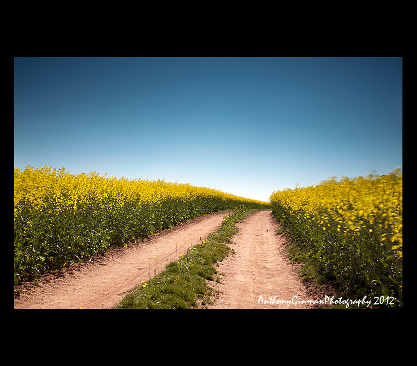
Canola Road

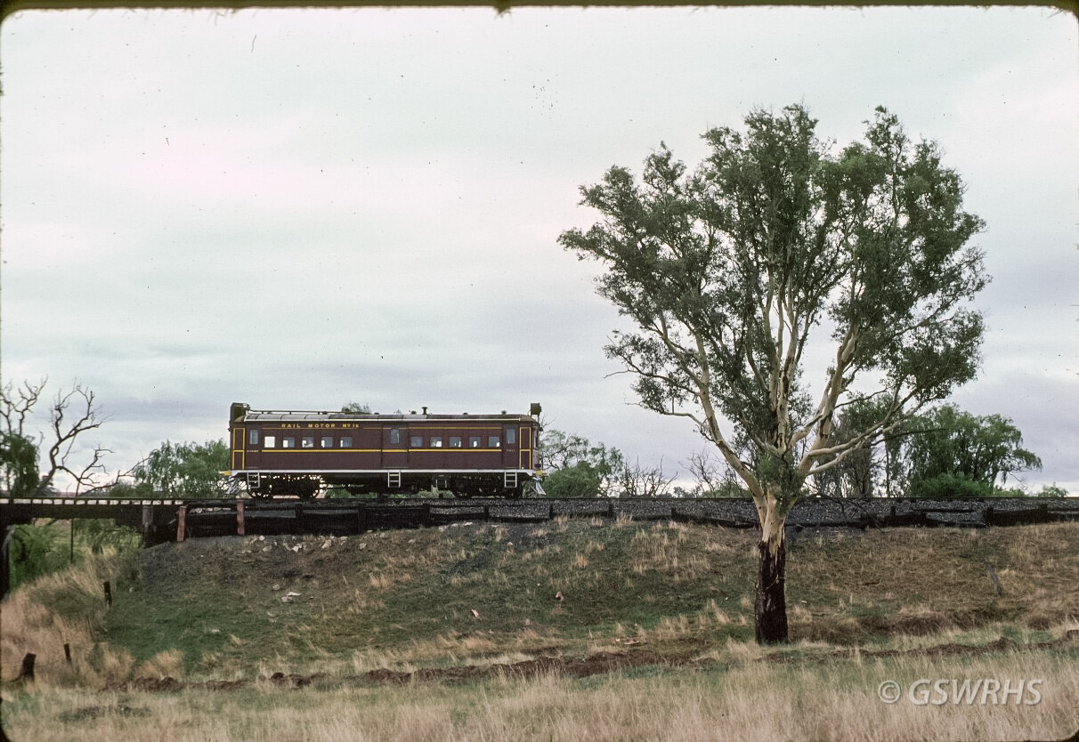
site of railway station at Boorowa, NSW, Australia
site of railway station at Boorowa, NSW, Australia

Golden Lines

Golden Bloom

Canola crop, Boorowa
8003B-25

8003C-05

8003B-13

Henry Bateman getting fat

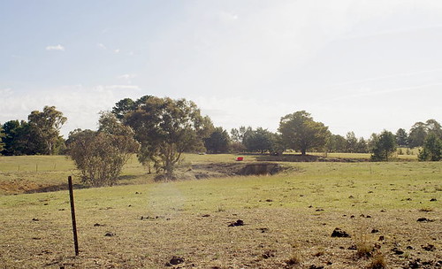
Grazing Country, Boorowa, NSW. P9025661

Canola flower fields near Cowra NSW in October 2016
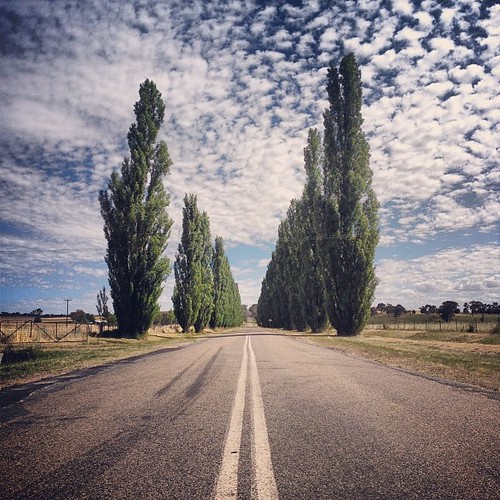
#trees #road #nsw #centralnsw #seeaustralia #australia #cloudporn #landscape

All Photos-115

All Photos-130

All Photos-116

All Photos-149

All Photos-148

All Photos-146

All Photos-143

All Photos-147
Topographic Map of Boorowa NSW, Australia
Find elevation by address:

Places near Boorowa NSW, Australia:
Frogmore
Hilltops Council
Harden Shire Council
Harden
46 Smith St
48 Smith St
49 Bobbara St
150 Neill St
111 Binalong St
Yass
11 Broad St
Young
Cowra
Woodstock
Cowra Shire Council
Adjungbilly
Cootamundra-gundagai Regional Council
Cootamundra
Cutler Avenue
30 Pinkstone Ave
Recent Searches:
- Elevation of Corso Fratelli Cairoli, 35, Macerata MC, Italy
- Elevation of Tallevast Rd, Sarasota, FL, USA
- Elevation of 4th St E, Sonoma, CA, USA
- Elevation of Black Hollow Rd, Pennsdale, PA, USA
- Elevation of Oakland Ave, Williamsport, PA, USA
- Elevation of Pedrógão Grande, Portugal
- Elevation of Klee Dr, Martinsburg, WV, USA
- Elevation of Via Roma, Pieranica CR, Italy
- Elevation of Tavkvetili Mountain, Georgia
- Elevation of Hartfords Bluff Cir, Mt Pleasant, SC, USA