Elevation of Boone County, NE, USA
Location: United States > Nebraska >
Longitude: -98.046518
Latitude: 41.7172326
Elevation: 539m / 1768feet
Barometric Pressure: 95KPa
Elevation Map:
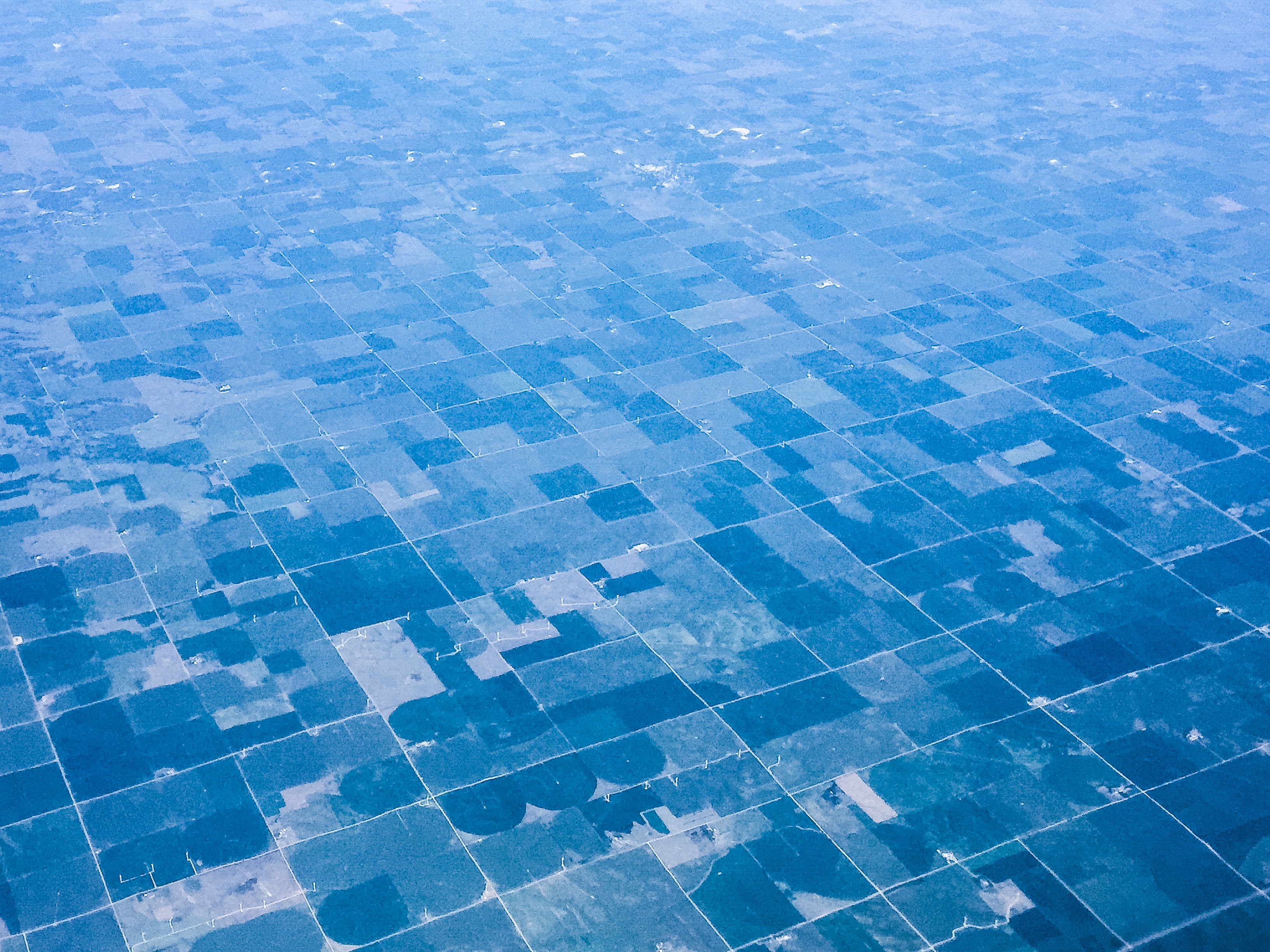
Satellite Map:
Related Photos:
Nebraska

20160428 165223 1SL6

20160426 151043 1SL6

20160428 180943 1SL6

20160428 165238 1SL6

20160428 194449 1SL6

20160428 193956 1SL6

20160426 214259 1SL6

20160428 225257 1SL6

20160428 221816 1SL6

20160428 221812 1SL6

20160428 195324 1SL6

20160428 194944 1SL6

20160428 195350 1S

20160428 195345 1SL6

20160428 195412 1SL6

20160428 195359 1SL6

20160428 195352 1SL6

20160428 200007 1SL6

20160428 195947 1SL6

20160428 195942 1SL6

20160428 203241 1SL6
Topographic Map of Boone County, NE, USA
Find elevation by address:

Places in Boone County, NE, USA:
Places near Boone County, NE, USA:
Nebraska 91
Southeast Manchester
Cedar Rapids
213 Ne-56
Cedar
Newman Grove
Shell Creek
Lindsay
St. Bernard
84797 Ne-14
Neligh
Genoa
Clearwater
Clearwater
Nevada St, Clearwater, NE, USA
Elm St, Cornlea, NE, USA
Cornlea
33387 Ne-91
Granville
Merrick County
Recent Searches:
- Elevation of Corso Fratelli Cairoli, 35, Macerata MC, Italy
- Elevation of Tallevast Rd, Sarasota, FL, USA
- Elevation of 4th St E, Sonoma, CA, USA
- Elevation of Black Hollow Rd, Pennsdale, PA, USA
- Elevation of Oakland Ave, Williamsport, PA, USA
- Elevation of Pedrógão Grande, Portugal
- Elevation of Klee Dr, Martinsburg, WV, USA
- Elevation of Via Roma, Pieranica CR, Italy
- Elevation of Tavkvetili Mountain, Georgia
- Elevation of Hartfords Bluff Cir, Mt Pleasant, SC, USA