Elevation of Bonuan, Dagupan, Pangasinan, Philippines
Location: Philippines > Ilocos Region > Pangasinan > Dagupan >
Longitude: 120.357963
Latitude: 16.0796436
Elevation: 1m / 3feet
Barometric Pressure: 101KPa
Elevation Map:
Satellite Map:
Related Photos:

POINT OF VIEW
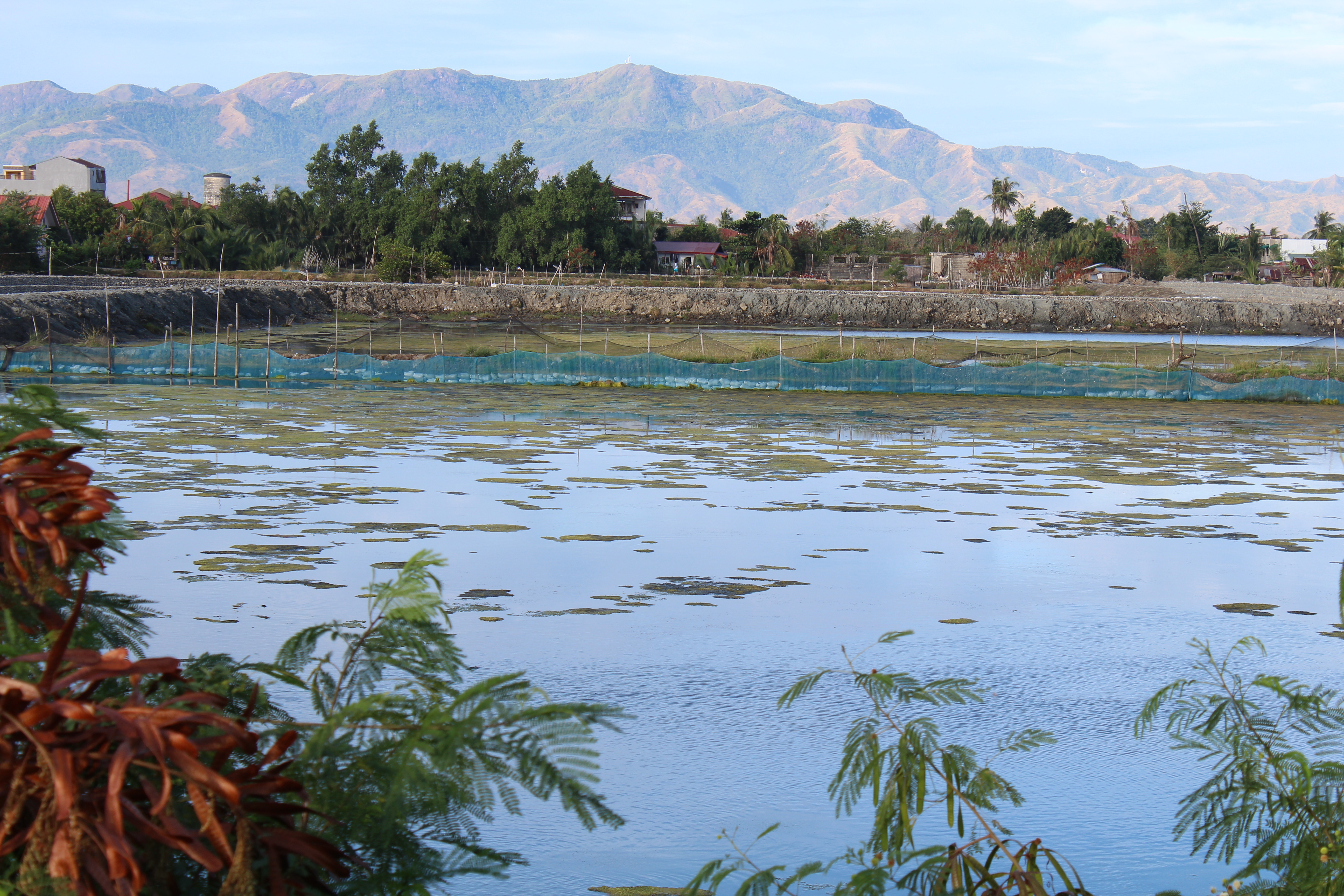
FISH POND
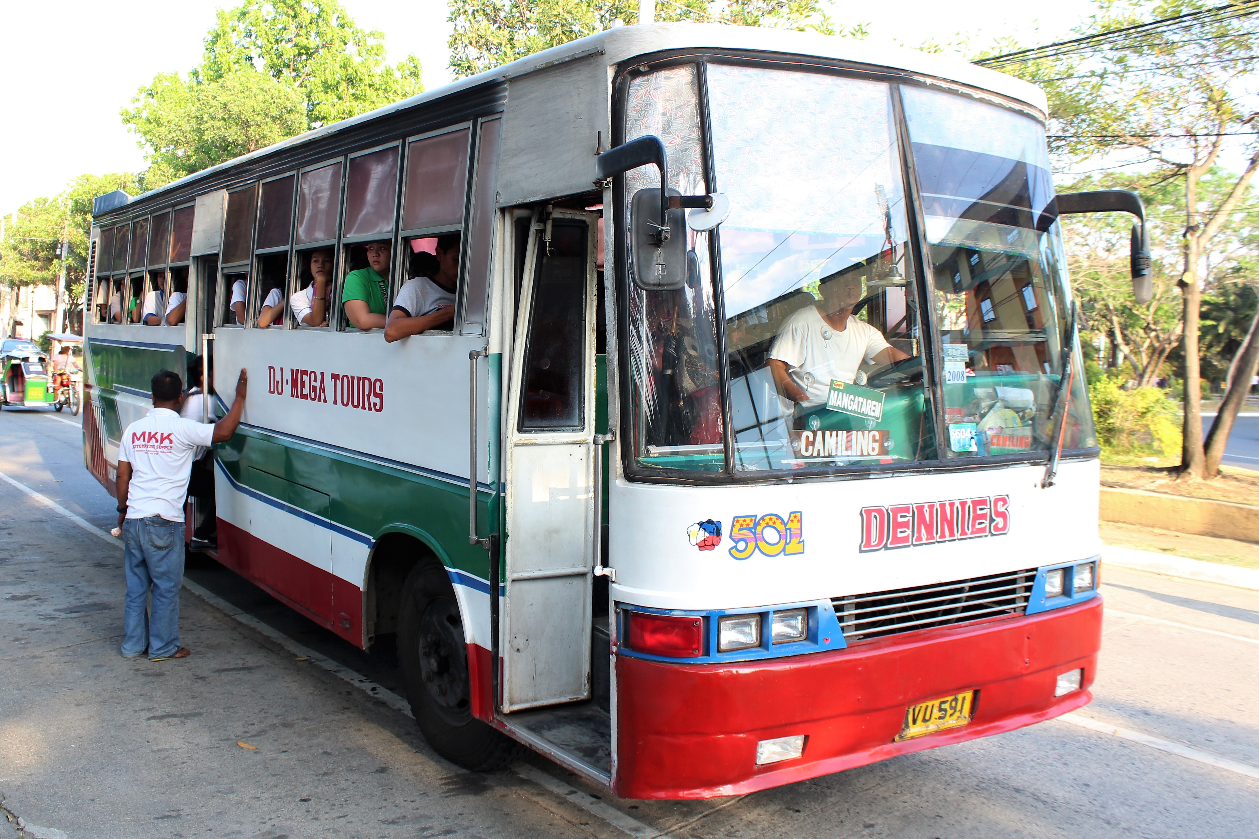
MEGA TOURS BUS

WOW LOVE

THE STATUES

WORLD WAR II TANK

PATH TO HOLINESS

PLACE OF WORSHIP

A BUS

TEN COMMANDMENTS

R & P BUS

LINGAYEN, PHILIPPINES

WAITING AREA

JOSE RIZAL

ITS THE CAPITOL

THE ARCH

DINING AREA

BELFRY AND CHURCH

WOW RESORT

VIOLATION OF SAFETY

BIKE NIGHT
Topographic Map of Bonuan, Dagupan, Pangasinan, Philippines
Find elevation by address:

Places in Bonuan, Dagupan, Pangasinan, Philippines:
Places near Bonuan, Dagupan, Pangasinan, Philippines:
San Gabriel
Bonuan Boquig
Bonuan Gueset
Bonuan Binloc
Arellano Street
Tambac
Pantal
Guanzon Main Warehouse
Mangin
Barangay I
Barangay Ii
Pantal
Guanzon Honda
Kalinga-apayao State College-dagupan
Dagupan
Barangay Iv
Mangaldan
Salapiñgao
Caranglaan
Poblacion Oeste
Recent Searches:
- Elevation of Corso Fratelli Cairoli, 35, Macerata MC, Italy
- Elevation of Tallevast Rd, Sarasota, FL, USA
- Elevation of 4th St E, Sonoma, CA, USA
- Elevation of Black Hollow Rd, Pennsdale, PA, USA
- Elevation of Oakland Ave, Williamsport, PA, USA
- Elevation of Pedrógão Grande, Portugal
- Elevation of Klee Dr, Martinsburg, WV, USA
- Elevation of Via Roma, Pieranica CR, Italy
- Elevation of Tavkvetili Mountain, Georgia
- Elevation of Hartfords Bluff Cir, Mt Pleasant, SC, USA