Elevation of Bong Long, NR4, Angk Snuol, Cambodia
Location: Cambodia > Kandal > Angk Snuol > Angk Snuol >
Longitude: 104.712633
Latitude: 11.5050836
Elevation: 23m / 75feet
Barometric Pressure: 101KPa
Related Photos:
Topographic Map of Bong Long, NR4, Angk Snuol, Cambodia
Find elevation by address:

Places near Bong Long, NR4, Angk Snuol, Cambodia:
Angk Snuol
Angk Snuol
Pur Senchey
Khan Pou Senchey
Royal Cambodia Phnom Penh Golf Club
Ptt Tuol Pongro
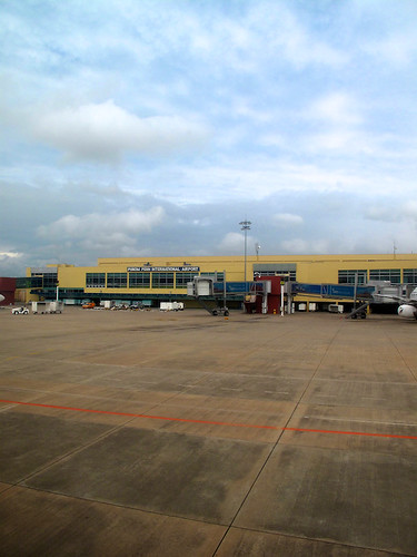
Phnom Penh International Airport
Sangkat Prey Sa
Dangkor
Khan Dangkor
Meanchey
Khan Mean Chey
Khan Sen Sok
Borey Piphop Thmey
Chamka Doung Market
Sangkat Stueng Mean Chey
Phnom Phen City
Phnom Penh
Khmuonh
Steung Meanchey Primary School
Recent Searches:
- Elevation of Corso Fratelli Cairoli, 35, Macerata MC, Italy
- Elevation of Tallevast Rd, Sarasota, FL, USA
- Elevation of 4th St E, Sonoma, CA, USA
- Elevation of Black Hollow Rd, Pennsdale, PA, USA
- Elevation of Oakland Ave, Williamsport, PA, USA
- Elevation of Pedrógão Grande, Portugal
- Elevation of Klee Dr, Martinsburg, WV, USA
- Elevation of Via Roma, Pieranica CR, Italy
- Elevation of Tavkvetili Mountain, Georgia
- Elevation of Hartfords Bluff Cir, Mt Pleasant, SC, USA


