Elevation of Bond St, Sims, IL, USA
Location: United States > Illinois > Wayne County > Arrington Township > Sims >
Longitude: -88.531209
Latitude: 38.3601547
Elevation: 126m / 413feet
Barometric Pressure: 100KPa
Elevation Map:
Satellite Map:
Related Photos:

Morning View

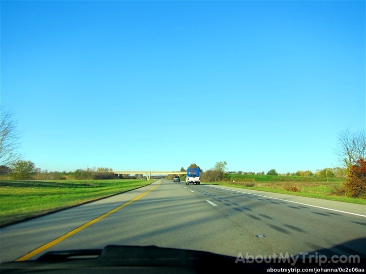
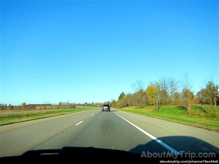
Truck_060312_LR-134.jpg

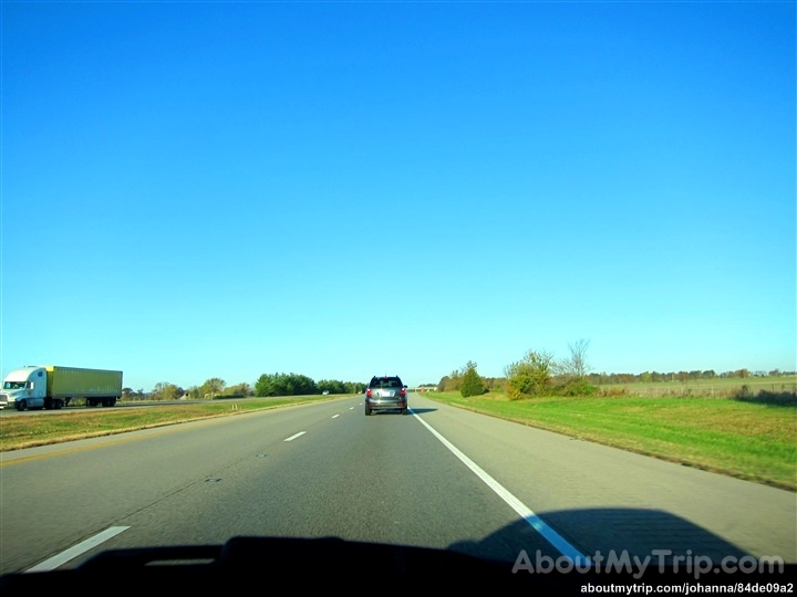
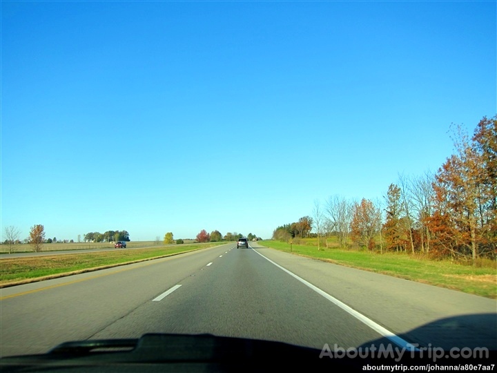
Truck_060312_LR-137.jpg

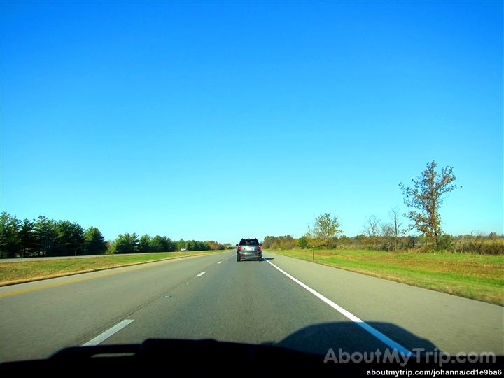
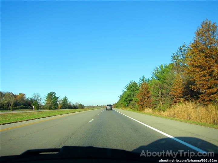
Truck_060312_LR-136.jpg

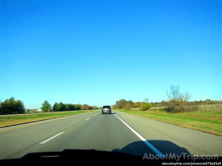
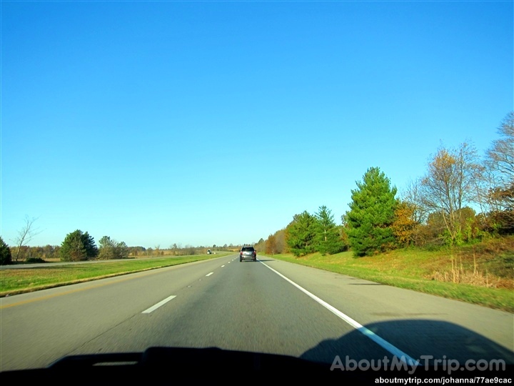
Truck_060312_LR-135.jpg
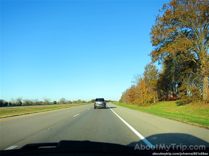
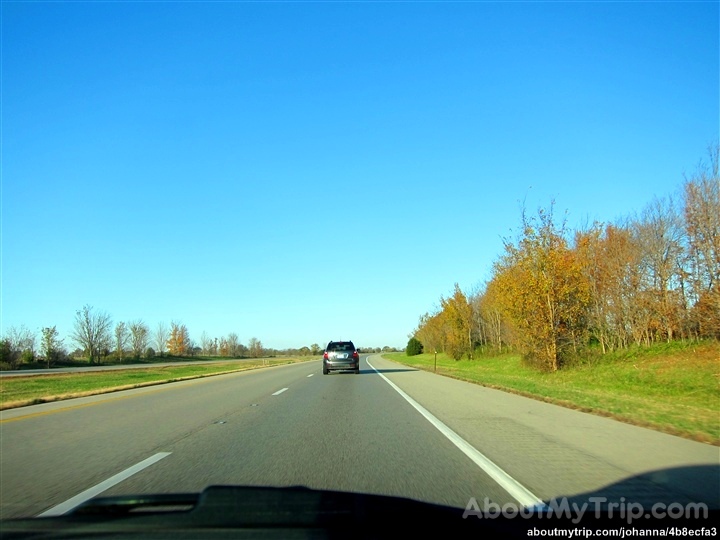
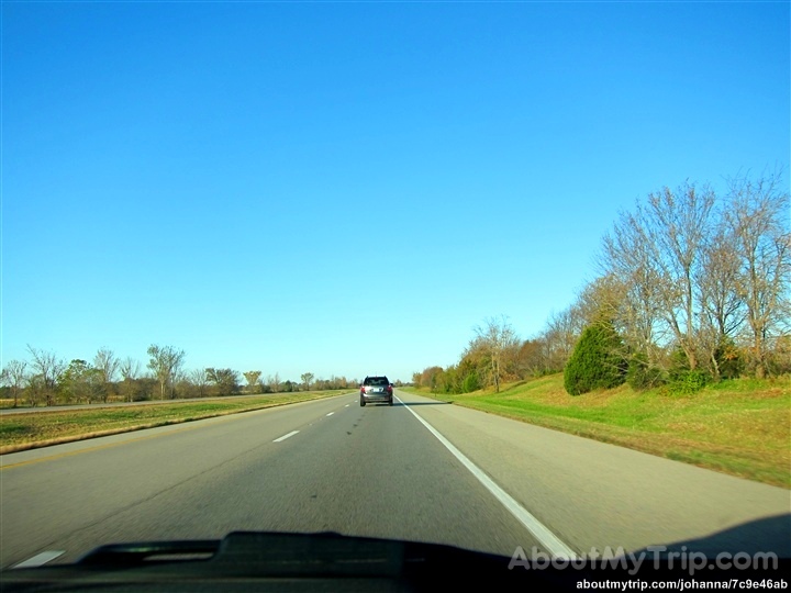
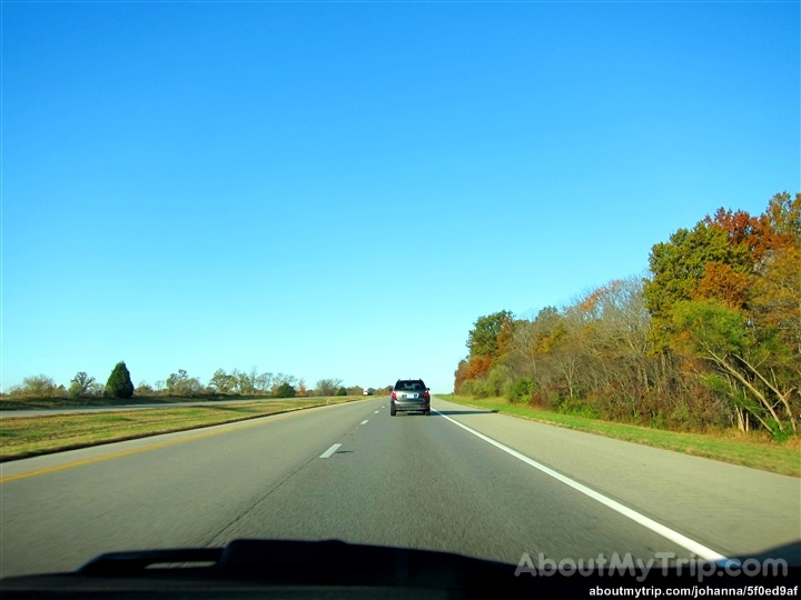
Illinois, Wayne County

Cross country trip

CEU's
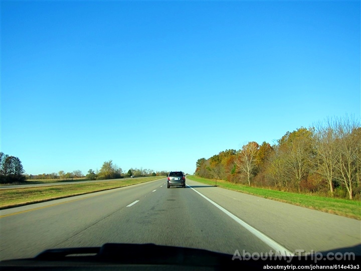
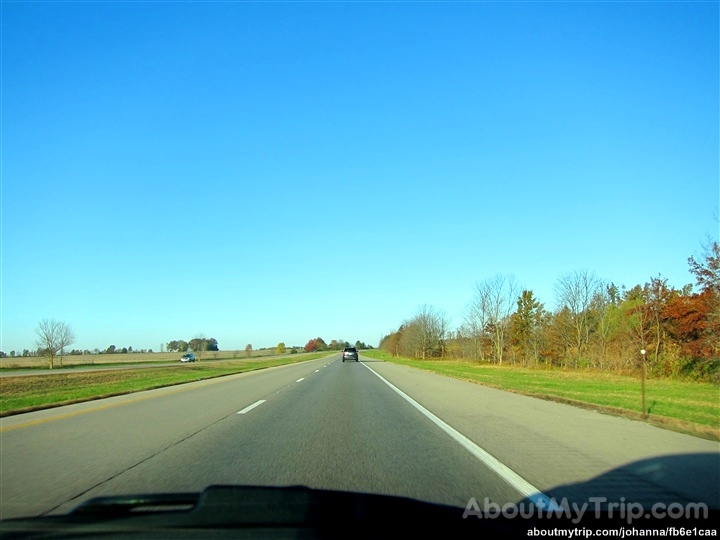
Illinois, Wayne County
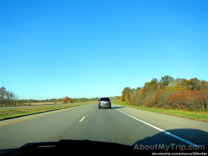
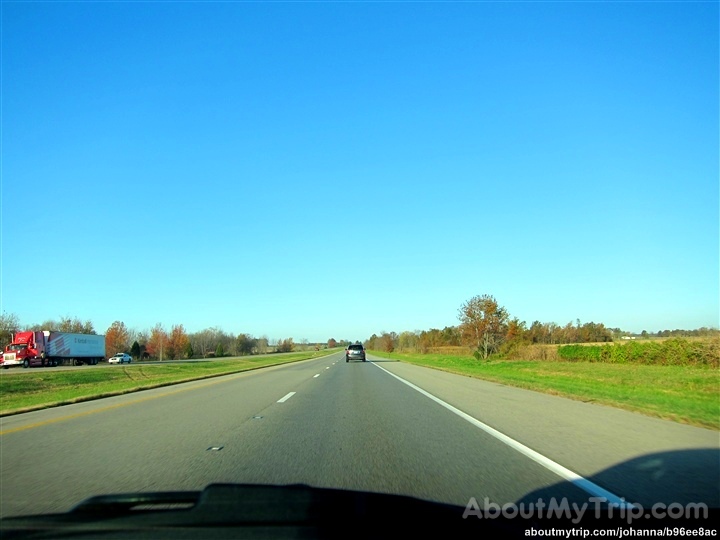
Illinois, Wayne County
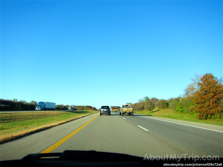
Illinois, Wayne County
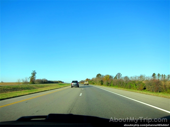
Illinois, Wayne County
Illinois, Wayne County
Illinois, Wayne County
Illinois, Wayne County
Illinois, Wayne County
Illinois, Wayne County

Illinois, Wayne County
Illinois, Wayne County
Illinois, Wayne County
Illinois, Wayne County
Illinois, Wayne County
Illinois, Wayne County
Illinois, Wayne County
Illinois, Wayne County
Illinois, Wayne County
Topographic Map of Bond St, Sims, IL, USA
Find elevation by address:

Places near Bond St, Sims, IL, USA:
Sims
Arrington Township
E Robinson Ave, Wayne City, IL, USA
Wayne City
Orel Township
IL-, Wayne City, IL, USA
Lamard Township
Wayne County
W Mechanics St, Jeffersonville, IL, USA
Jeffersonville
Fairfield
E Delaware St, Fairfield, IL, USA
Bedford Township
Cisne
US-45, Cisne, IL, USA
Grover Township
Jasper Township
County Road 1250n
County Road 1250n
Mcleansboro
Recent Searches:
- Elevation of Corso Fratelli Cairoli, 35, Macerata MC, Italy
- Elevation of Tallevast Rd, Sarasota, FL, USA
- Elevation of 4th St E, Sonoma, CA, USA
- Elevation of Black Hollow Rd, Pennsdale, PA, USA
- Elevation of Oakland Ave, Williamsport, PA, USA
- Elevation of Pedrógão Grande, Portugal
- Elevation of Klee Dr, Martinsburg, WV, USA
- Elevation of Via Roma, Pieranica CR, Italy
- Elevation of Tavkvetili Mountain, Georgia
- Elevation of Hartfords Bluff Cir, Mt Pleasant, SC, USA