Elevation of Bon Air Drive, Bon Air Dr, Sharon, PA, USA
Location: United States > Pennsylvania > Mercer County > Sharon >
Longitude: -80.494592
Latitude: 41.247355
Elevation: 305m / 1001feet
Barometric Pressure: 98KPa
Elevation Map:
Satellite Map:
Related Photos:
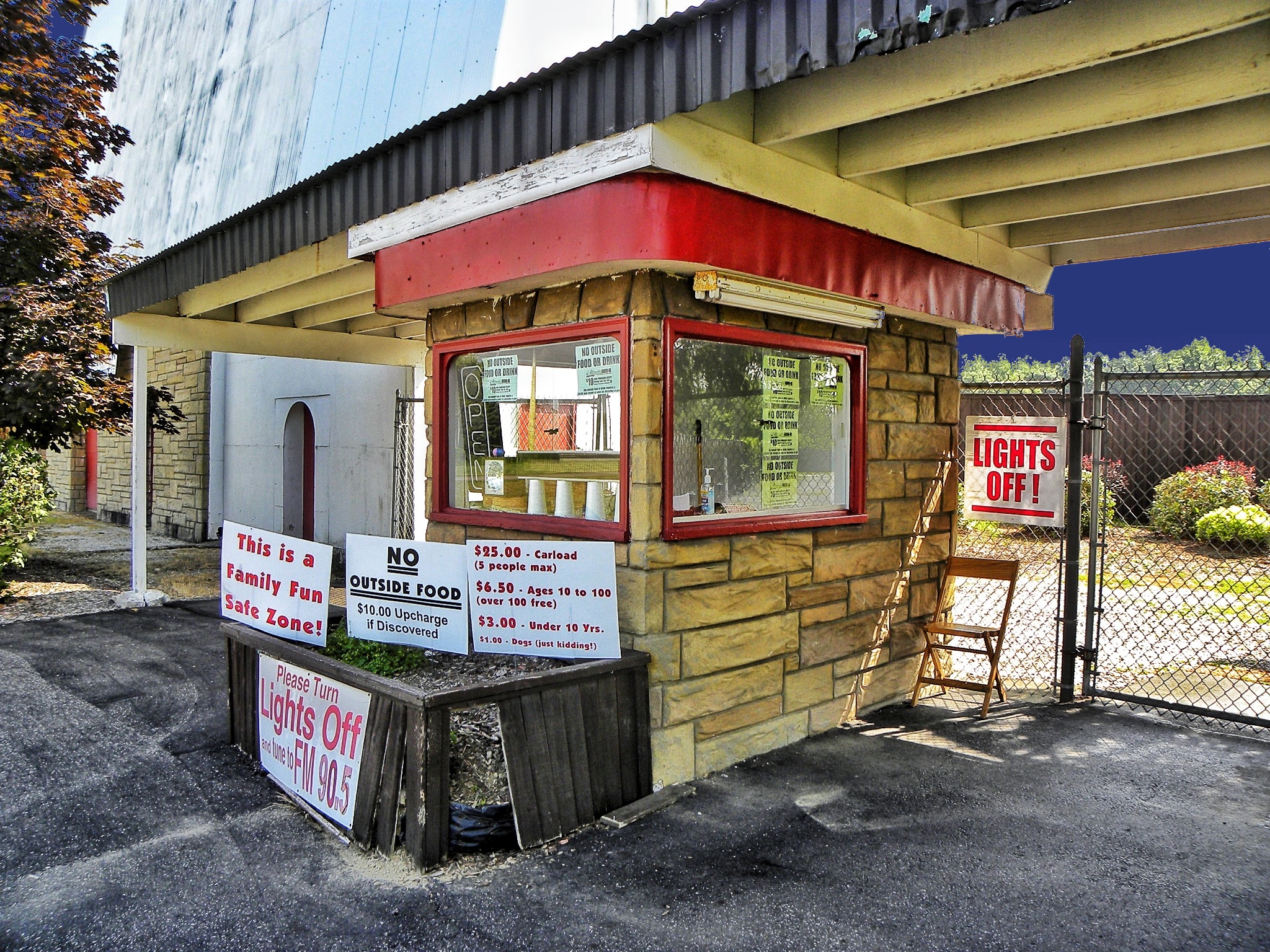
Reynold's Drive-in ~ Ticket Booth ~ Transfer, PA ~ USA

Family Portrait
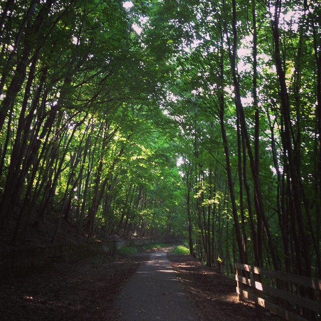
Great view during the bike ride today!
Wide View
Nostrils Flared
Ready For Summer

Behind the Lens
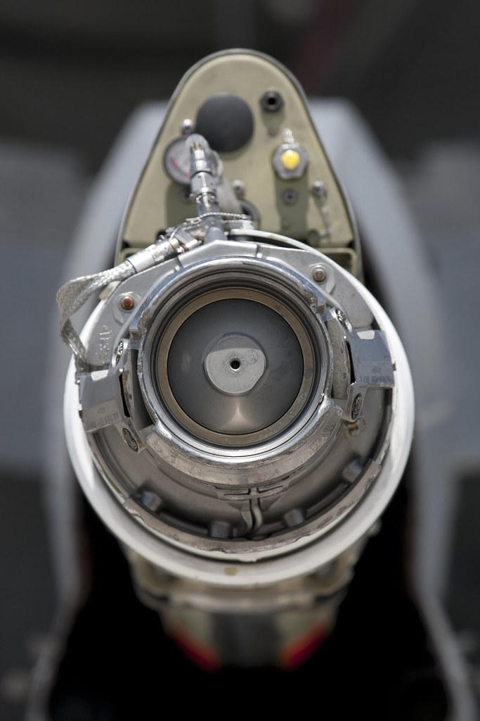
McDonnell Douglas KC-10 Extender refueling probe

The Avenue of Flags from Kraynak's Parking Lot

Editing Process Sasquatch Self Portrait
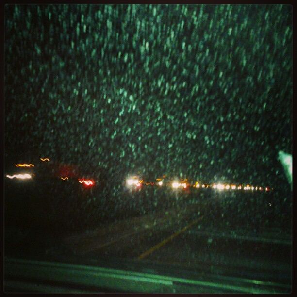
This is a east bound view of westbound I80. Me n chris stuck. Mom says bad accident. Oil spill pray for them folk ~megs
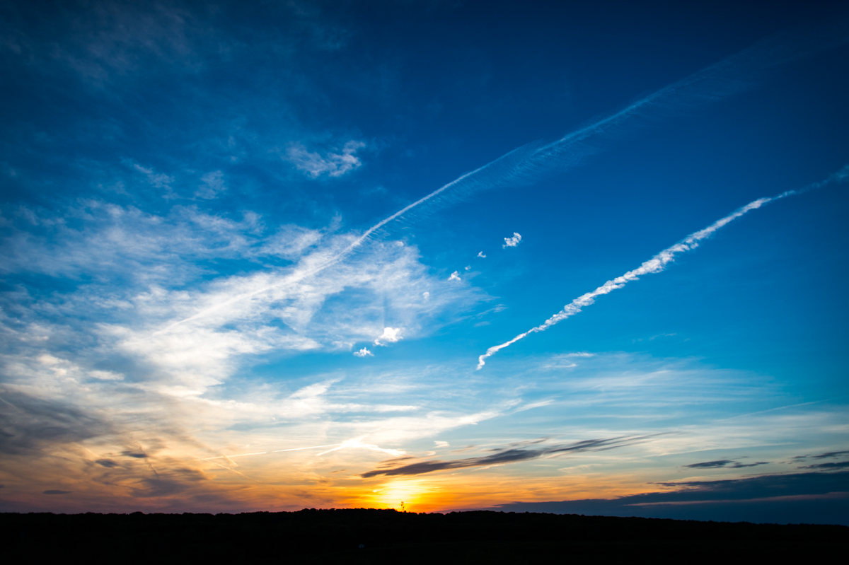
Sunset Jet Trails
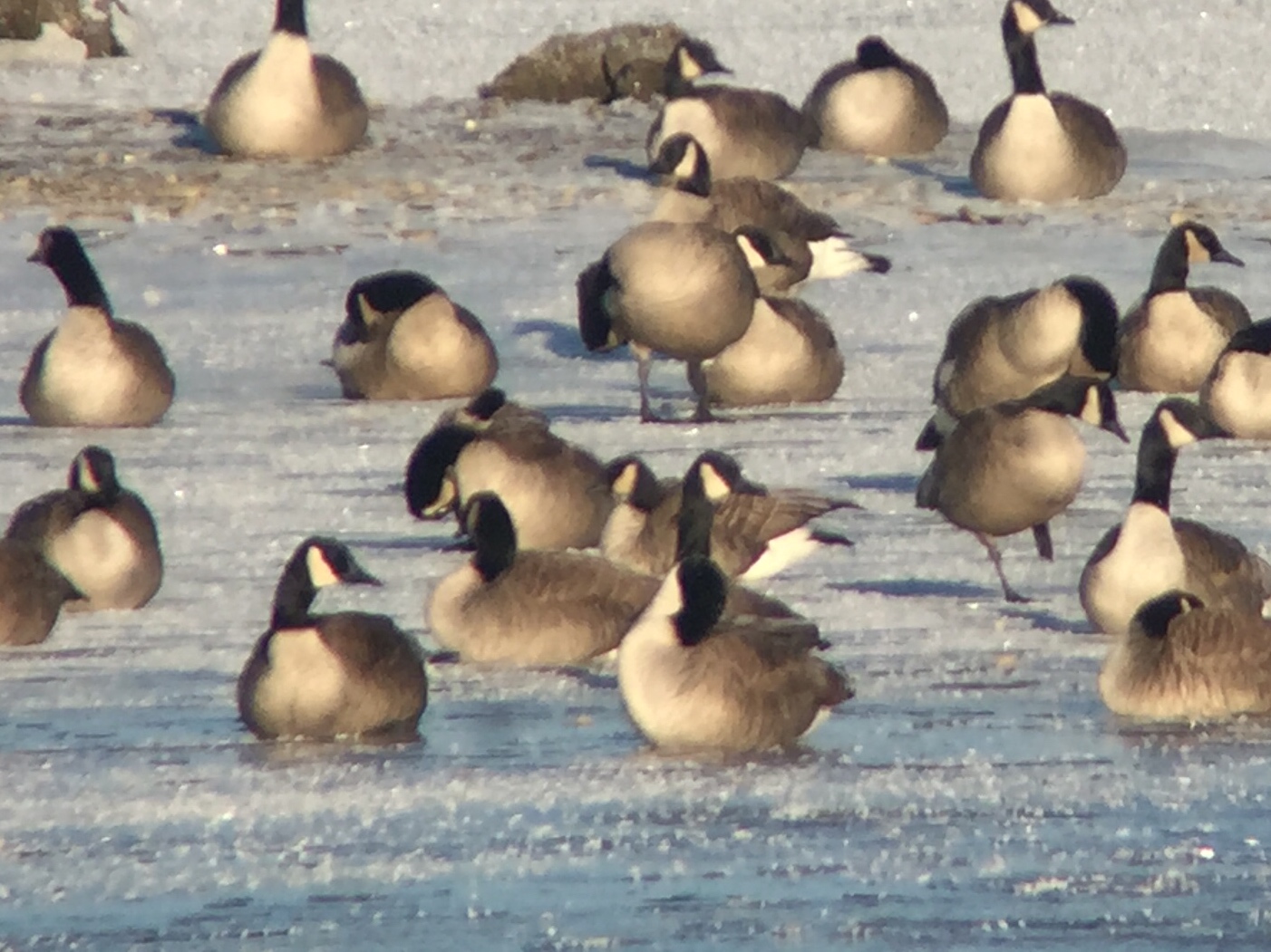
Cackling Goose - Shenango Reservoir--Rte. 846, Mercer Co, PA - Jan 5, 2016
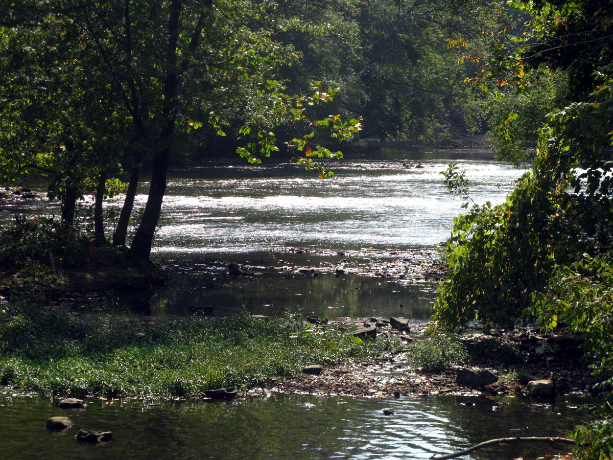
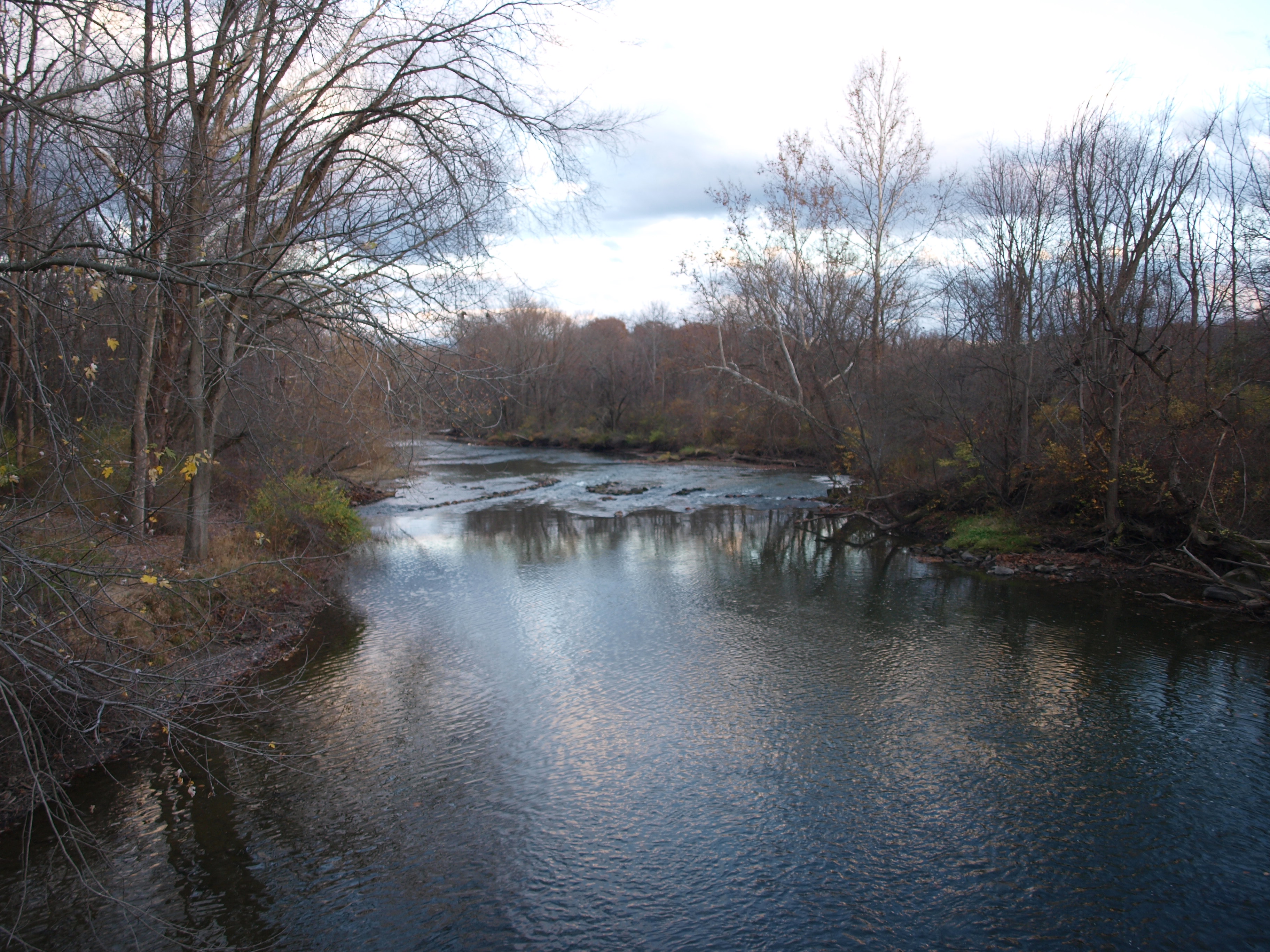
Shenango River

Cafetaria view 2
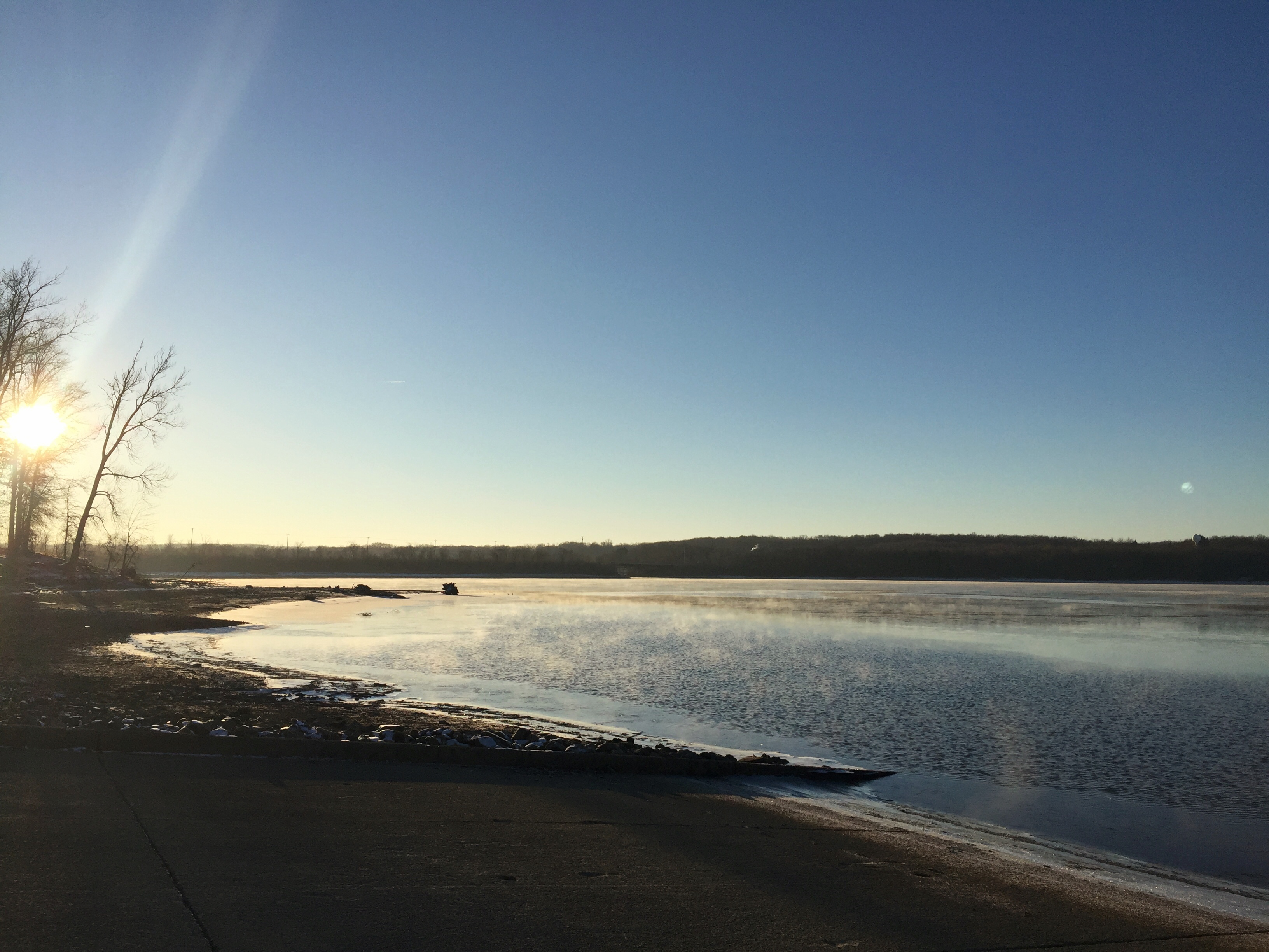
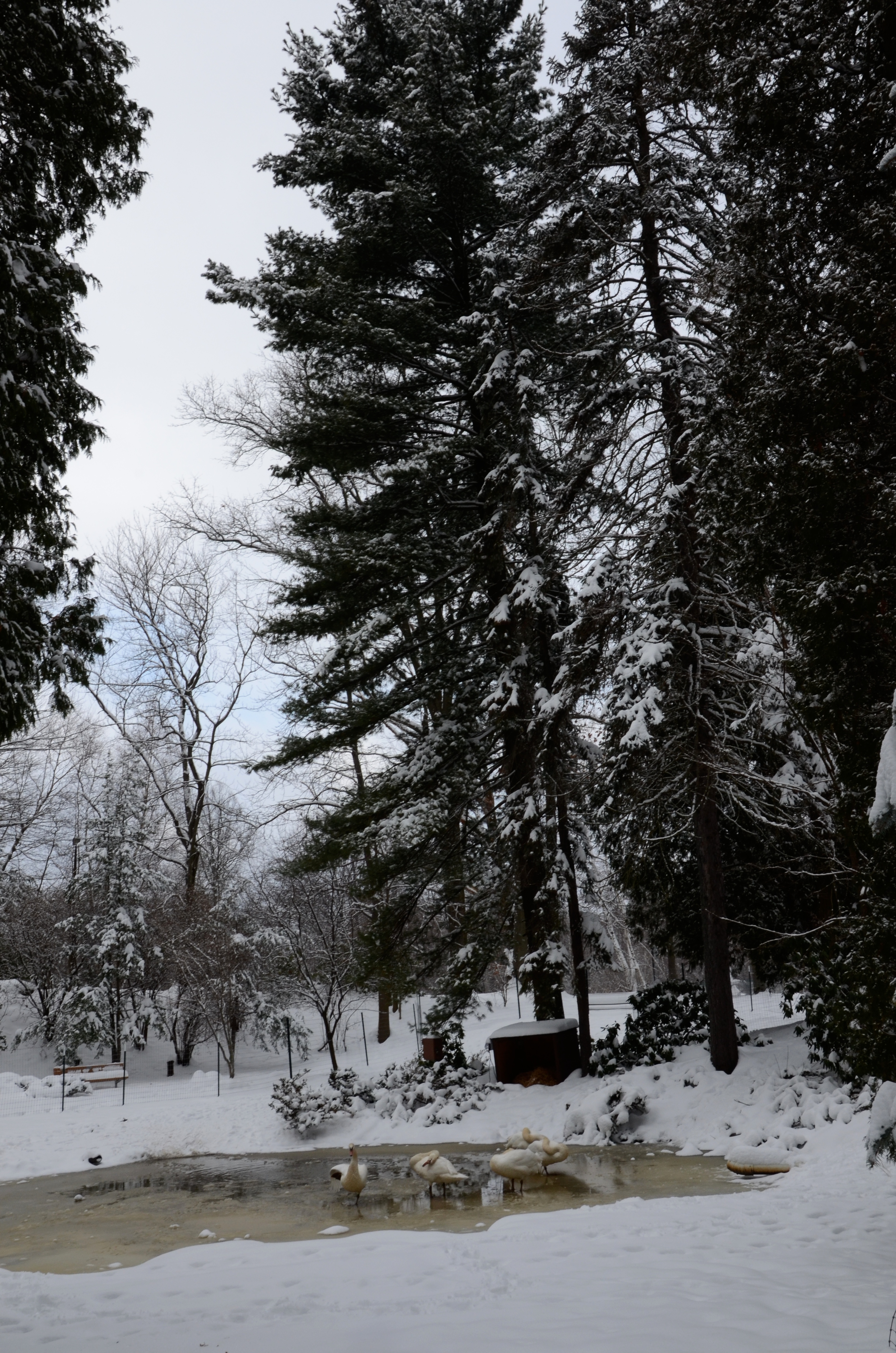
Shenango Recreation Area, Mercer Co, PA - Jan 5, 2016
2011-05-06 12.14.02
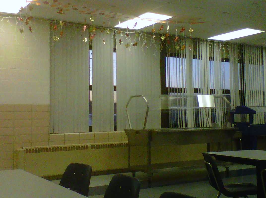
Cafetaria view 1
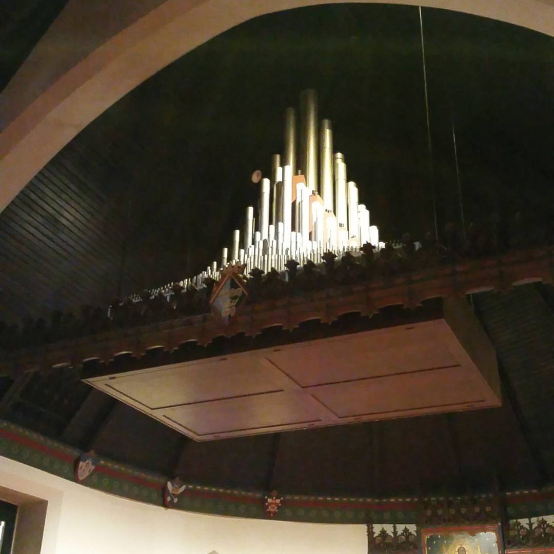
Another view of the cloud of pipes over the chapel
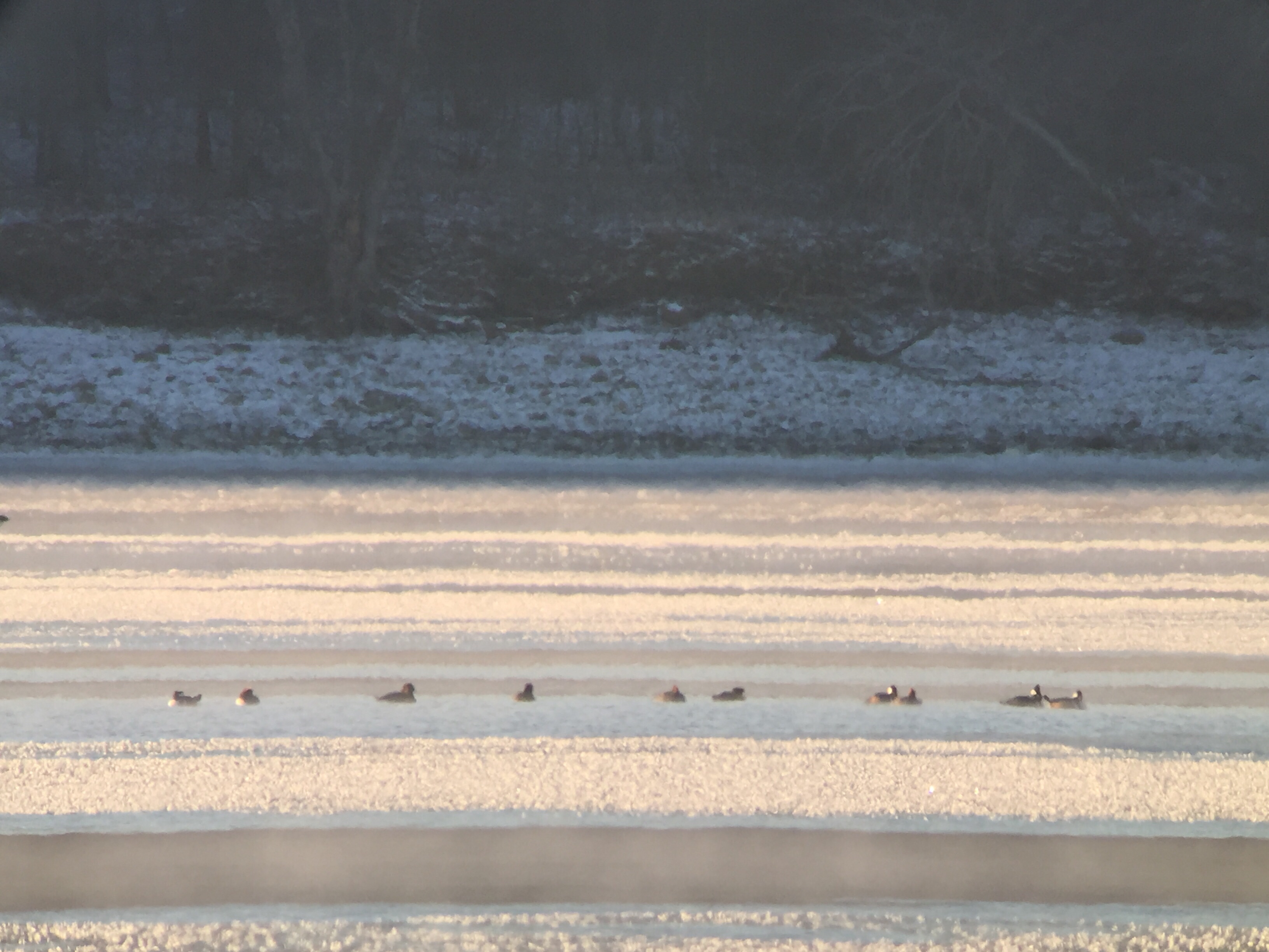
Hooded Merganser - Shenango Recreation Area, Mercer Co, PA - Jan 5, 2016
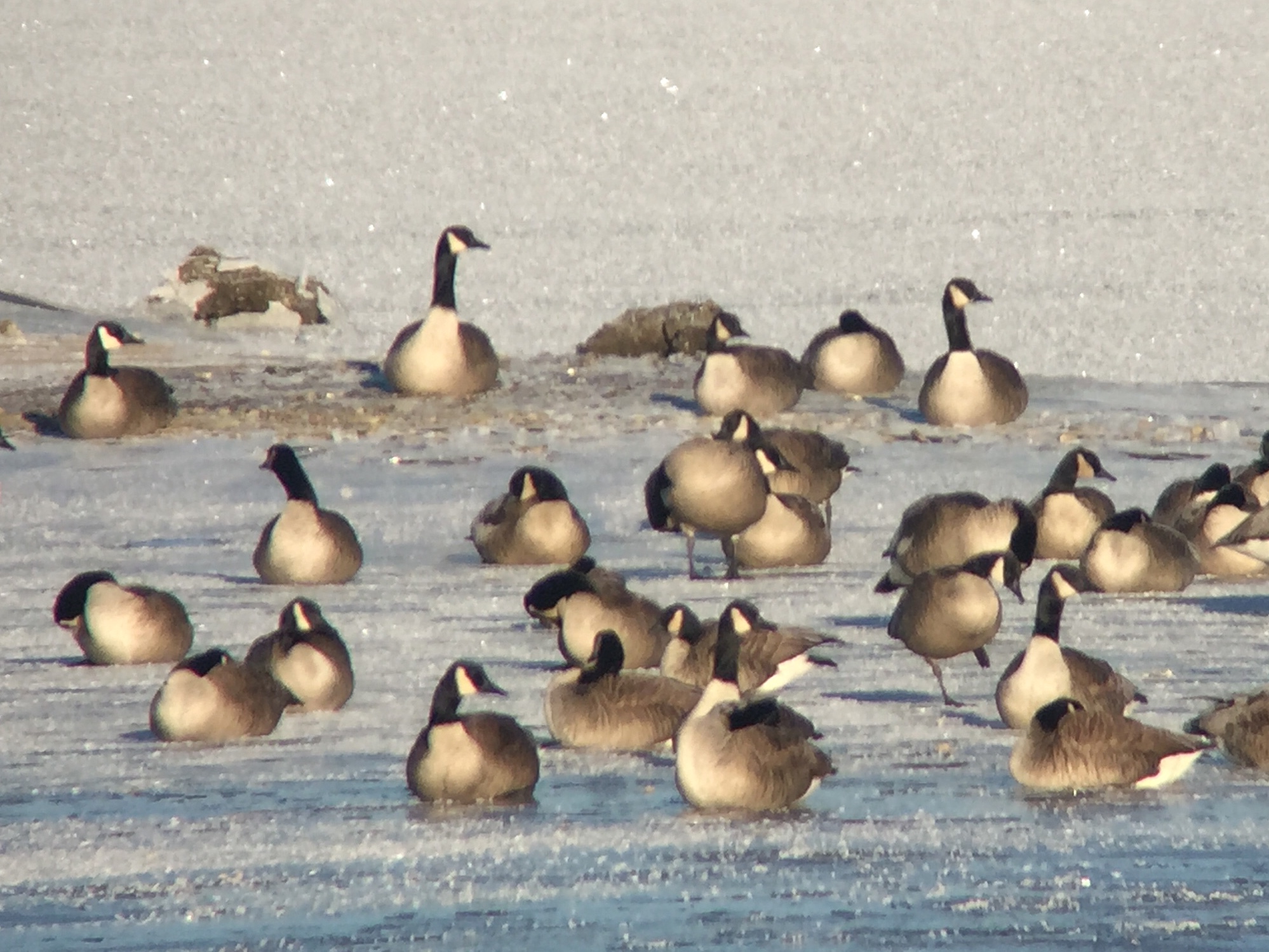
Cackling Goose - Shenango Reservoir--Rte. 846, Mercer Co, PA - Jan 5, 2016
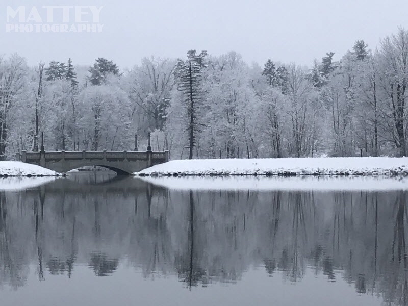
Buhl Park Bridge
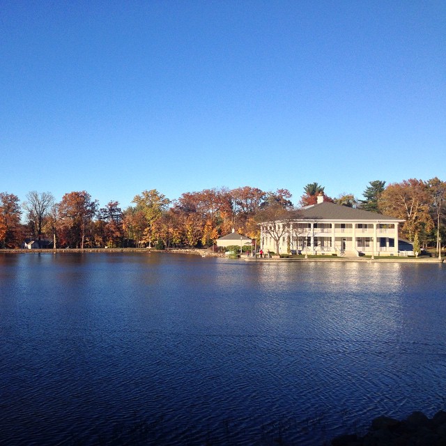
Buhl Park Casino
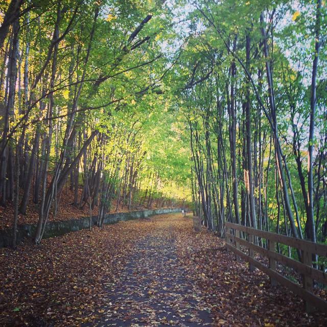
Yesterday's bike ride

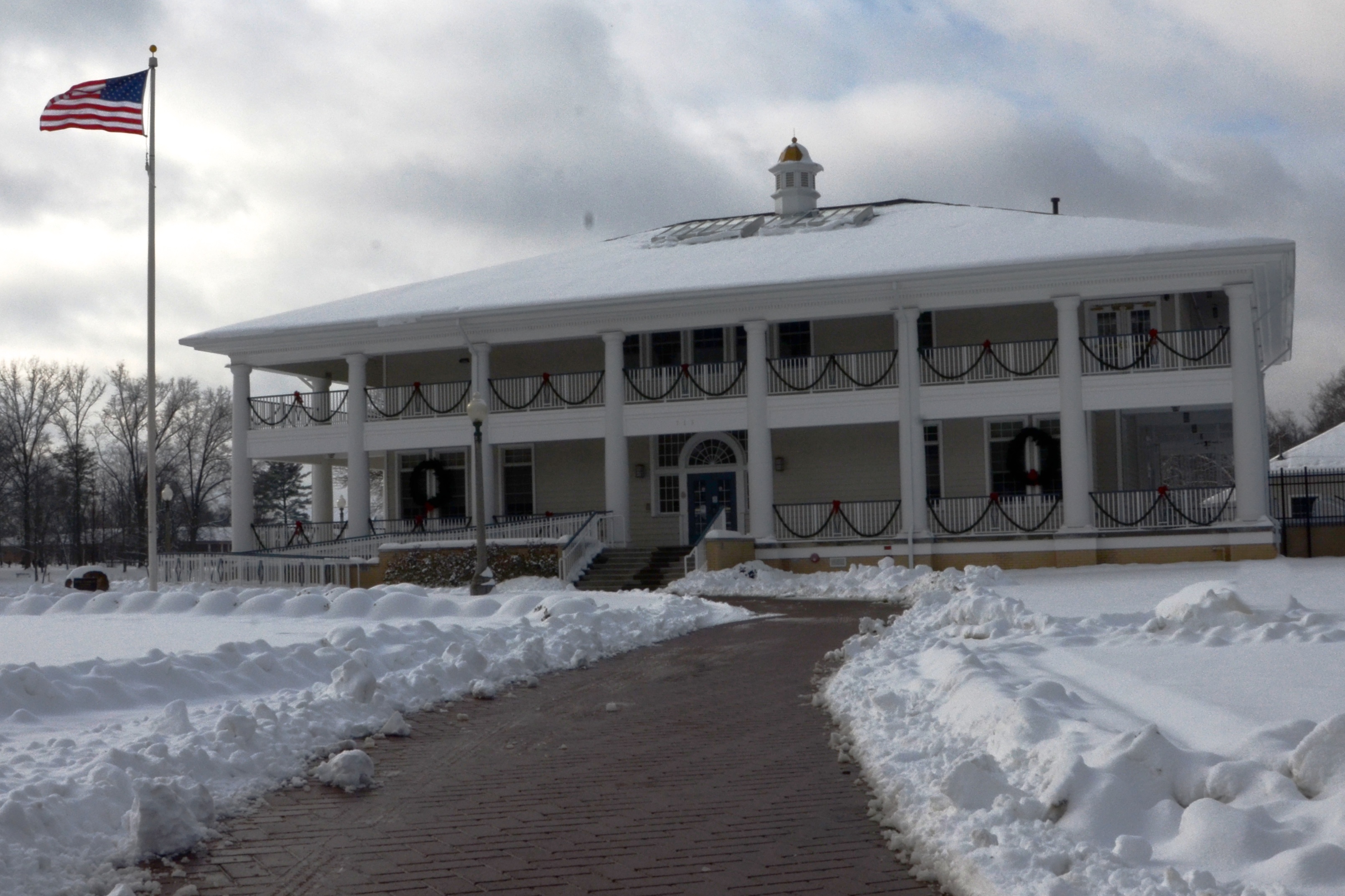
Buhl Park Activities Building
Buhl Park Casino
Swans in the Rose Garden
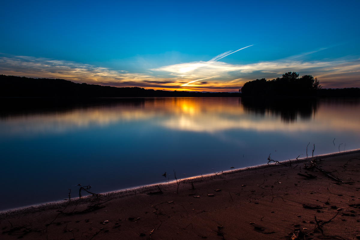
Dam Sunset

Oak Tree Falls

Roadside Respit: urban meets nature
Kidd's Mill Covered Bridge 38-43-01, Mercer County, PA
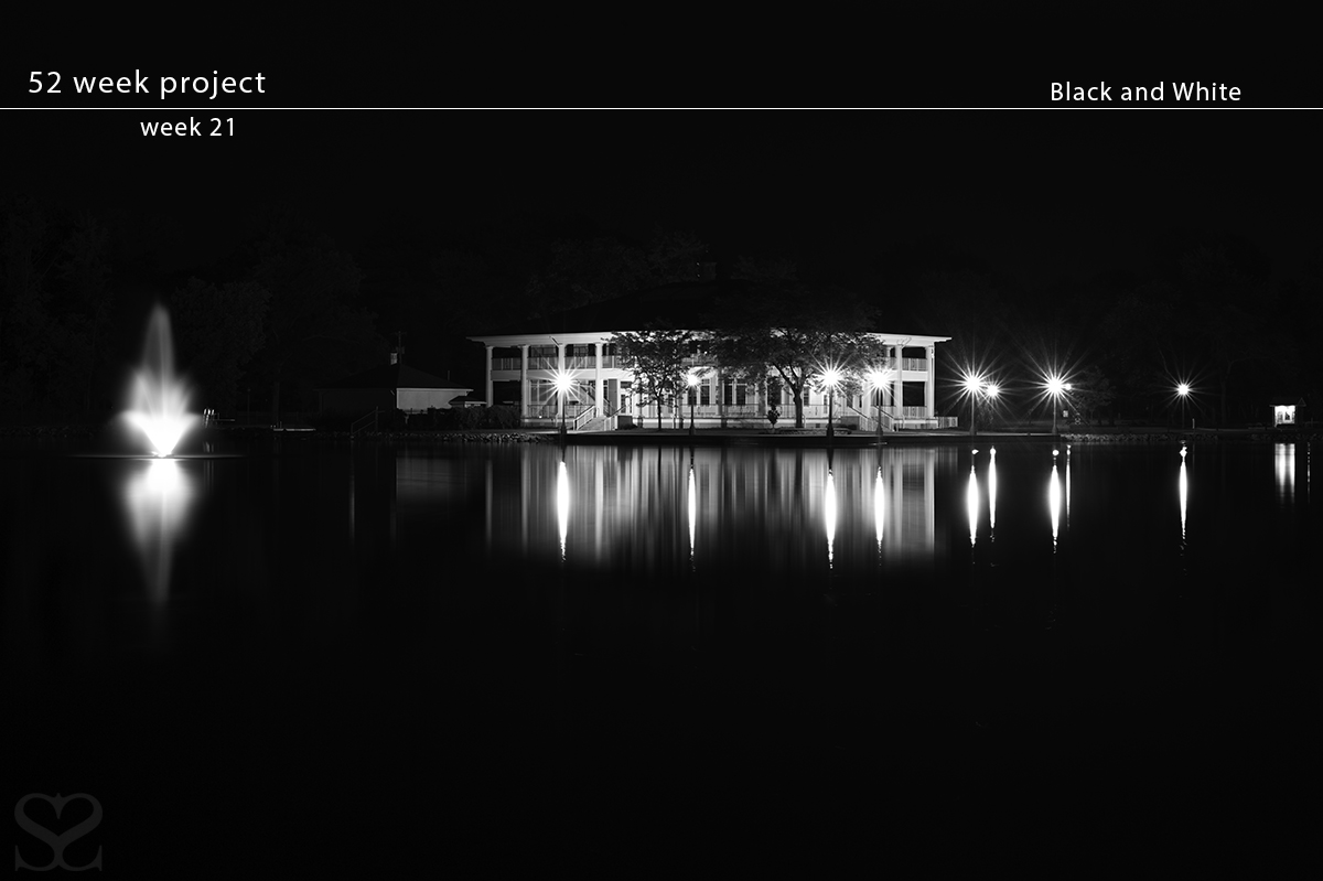
21/52 - Black and White

Rose Garden Entrance

January 7 - Sunset & Moon HDR

The Buhls
Rose Garden Entrance
Buhl Park, Buhl Boulevard Entrance
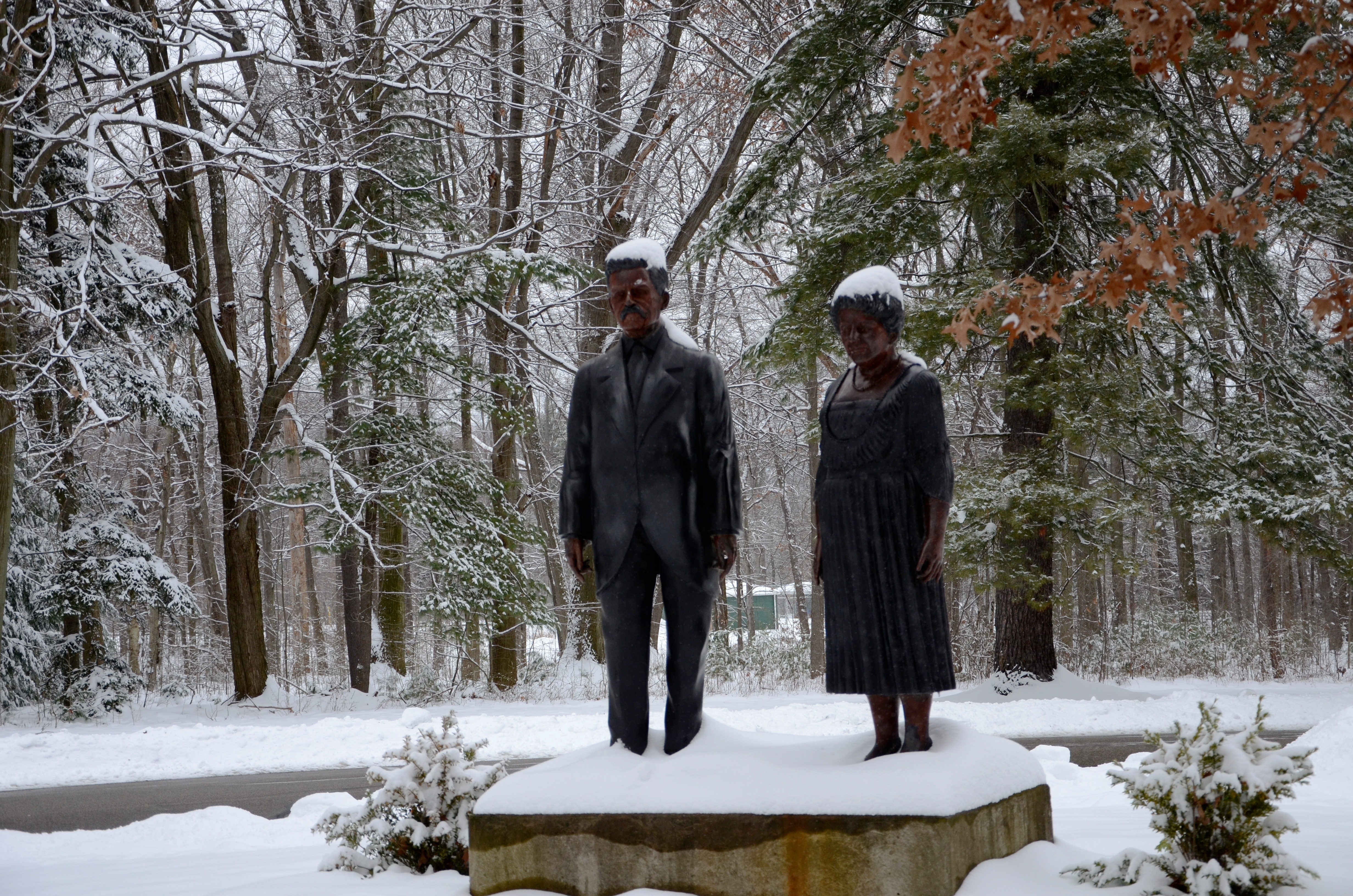
The Buhls
Topographic Map of Bon Air Drive, Bon Air Dr, Sharon, PA, USA
Find elevation by address:

Places near Bon Air Drive, Bon Air Dr, Sharon, PA, USA:
Sharon
523 Dougherty Ave
279 N Buhl Farm Dr
Sharpsville
Mercer Ave, Hermitage, PA, USA
31 Vaughn Ave
22 Vaughn Ave
14 Vaughn Ave
95 Mercer Ave
Wheatland, PA, USA
Wheatland
Hermitage
Foxwood Drive
3300 Rosemary Ln
1 Llodio Dr
S Keel Ridge Rd, Hermitage, PA, USA
Tiffany Lane
2013 American Way
3439 Hubbard-middlesex Rd
I-80 & Z. H. Confair Memorial Hwy
Recent Searches:
- Elevation of Corso Fratelli Cairoli, 35, Macerata MC, Italy
- Elevation of Tallevast Rd, Sarasota, FL, USA
- Elevation of 4th St E, Sonoma, CA, USA
- Elevation of Black Hollow Rd, Pennsdale, PA, USA
- Elevation of Oakland Ave, Williamsport, PA, USA
- Elevation of Pedrógão Grande, Portugal
- Elevation of Klee Dr, Martinsburg, WV, USA
- Elevation of Via Roma, Pieranica CR, Italy
- Elevation of Tavkvetili Mountain, Georgia
- Elevation of Hartfords Bluff Cir, Mt Pleasant, SC, USA