Elevation of Bollinger Creek Rd, Climax Springs, MO, USA
Location: United States > Missouri > Camden County > Adair Township > Climax Springs >
Longitude: -92.947859
Latitude: 38.1149043
Elevation: 291m / 955feet
Barometric Pressure: 98KPa
Elevation Map:
Satellite Map:
Related Photos:

A woodsy escape

Foggy Dock

(Another) Foggy Dock

lake house (113/366)

Burial Plot

J Road Bridge
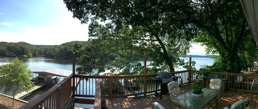
Rear Deck Pano

Lake view of house

West Lake ozark

Camera Roll-21

Makin' hay while the sun shines

Pat's Garden Fountain

Smokey Trees

Ozarks - 080608 - 105

Ozarks - 080608 - 108

Ozarks - 080608 - 110

Cove Sunset
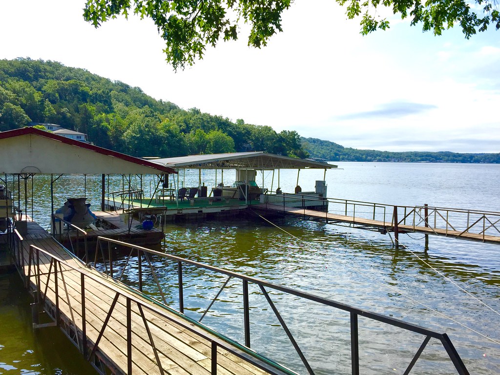
Their Boathouse

Ozarks - 080608 - 106

DSC08305-2

Lake of the Ozarks Shootout: Day One

Ozarks - 080608 - 107

Ozarks - 080608 - 103

Ozarks - 080608 - 104
Topographic Map of Bollinger Creek Rd, Climax Springs, MO, USA
Find elevation by address:

Places near Bollinger Creek Rd, Climax Springs, MO, USA:
Adair Township
Alcorn Hollow Road
Velvet Antler Road
Lower Prairie Hollow Road
Climax Ave, Climax Springs, MO, USA
4810 Lower Prairie Hollow Rd
Climax Springs
327 River Canyon Rd
Javelin Drive
Independence Drive
2308 Big Island Dr
Shoe Lace Drive
Shoe Lace Drive
Shoe Lace Drive
218 Walleye Point Dr
Russell Township
Rolling Hills Rifle And Pistol Club
Doc Ridgeway Drive
Doc Ridgeway Drive
5216 Doc Ridgeway Dr
Recent Searches:
- Elevation of Corso Fratelli Cairoli, 35, Macerata MC, Italy
- Elevation of Tallevast Rd, Sarasota, FL, USA
- Elevation of 4th St E, Sonoma, CA, USA
- Elevation of Black Hollow Rd, Pennsdale, PA, USA
- Elevation of Oakland Ave, Williamsport, PA, USA
- Elevation of Pedrógão Grande, Portugal
- Elevation of Klee Dr, Martinsburg, WV, USA
- Elevation of Via Roma, Pieranica CR, Italy
- Elevation of Tavkvetili Mountain, Georgia
- Elevation of Hartfords Bluff Cir, Mt Pleasant, SC, USA