Elevation of Bollinger County, MO, USA
Location: United States > Missouri >
Longitude: -90.074676
Latitude: 37.2115595
Elevation: 201m / 659feet
Barometric Pressure: 99KPa
Elevation Map:
Satellite Map:
Related Photos:

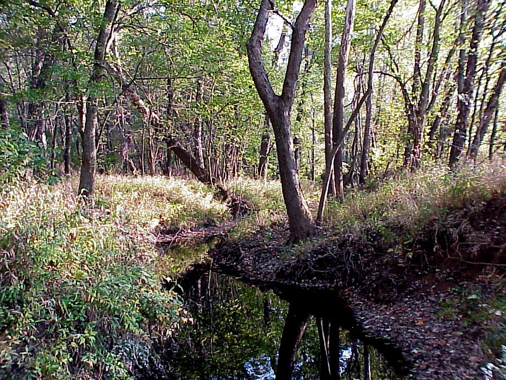
Ridge Trail

Clouds over corn

Left-Overs of Someone's Tree Stand

Pictures from Zalma 2: Castor River

Leaf Covered Trail was hard to see
Dark Cypress Swamp Conservation Area, Missouri

Dragonfly Exoskeleton
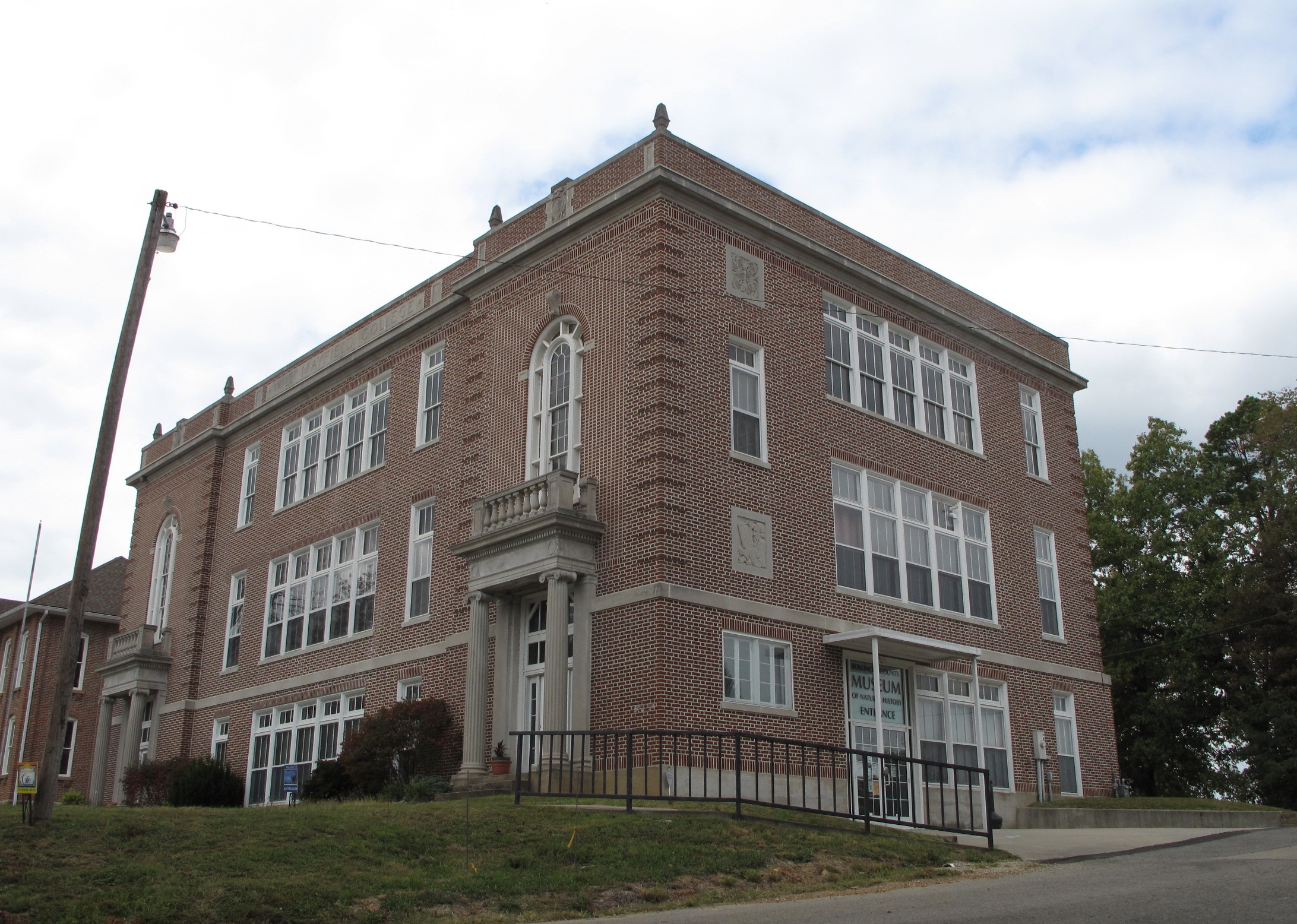
Will Mayfield College, Marble Hill (Mo.), 7 October 2015
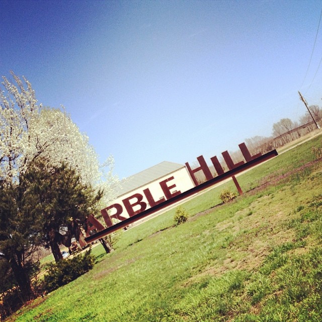
My Hometown! #tmom #boco #missouri
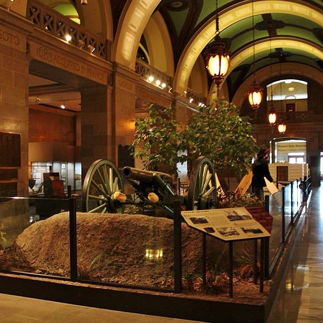
Have you visited the #Missouri State Capitol Building in @visitjcmo? #tmom There is more than just laws being made! There is learning to be had!
CAM01169.jpg

Castor River #2

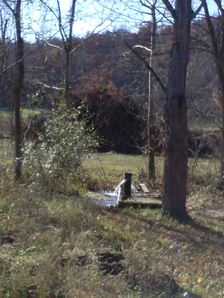
Wildlife Water Hole

Another Wildlife Water Hole

Cool Shroom

Another Cool Shroom

Meadow and Cornfield

Field Corn (Wildlife Food Plot)

Corn Rows

About Blue Pond

Blue Pond

Flying Over Blue Pond

Leaving Blue Pond

Late Fall Colors

3rd Water Hole Thru the Brush
Topographic Map of Bollinger County, MO, USA
Find elevation by address:

Places in Bollinger County, MO, USA:
Places near Bollinger County, MO, USA:
Woodland High School Marble Hill, Mo
State Hwy P, Puxico, MO, USA
Kinder Dr, Puxico, MO, USA
Marquand
New Lisbon Township
Stevens Branch
MO-34, Silva, MO, USA
Lost Creek Township
State Hwy E, Silva, MO, USA
Clayton Road
Clayton Lane
Deep Valley Road
Duck Creek Township
US-67, Fredericktown, MO, USA
Piso Point Road
Wappapello
Wappapello Dam
Cherokee Pass
State Highway Ww
Greenville
Recent Searches:
- Elevation of Corso Fratelli Cairoli, 35, Macerata MC, Italy
- Elevation of Tallevast Rd, Sarasota, FL, USA
- Elevation of 4th St E, Sonoma, CA, USA
- Elevation of Black Hollow Rd, Pennsdale, PA, USA
- Elevation of Oakland Ave, Williamsport, PA, USA
- Elevation of Pedrógão Grande, Portugal
- Elevation of Klee Dr, Martinsburg, WV, USA
- Elevation of Via Roma, Pieranica CR, Italy
- Elevation of Tavkvetili Mountain, Georgia
- Elevation of Hartfords Bluff Cir, Mt Pleasant, SC, USA