Elevation of Bocktschingel, Spiringen, Switzerland
Location: Switzerland > Canton Of Uri > Uri > Spiringen >
Longitude: 8.89361
Latitude: 46.8492
Elevation: 3066m / 10059feet
Barometric Pressure: 70KPa
Elevation Map:
Satellite Map:
Related Photos:
Chapelle, district de Surselva, canton des Grisons, Suisse.
Punkt 2729

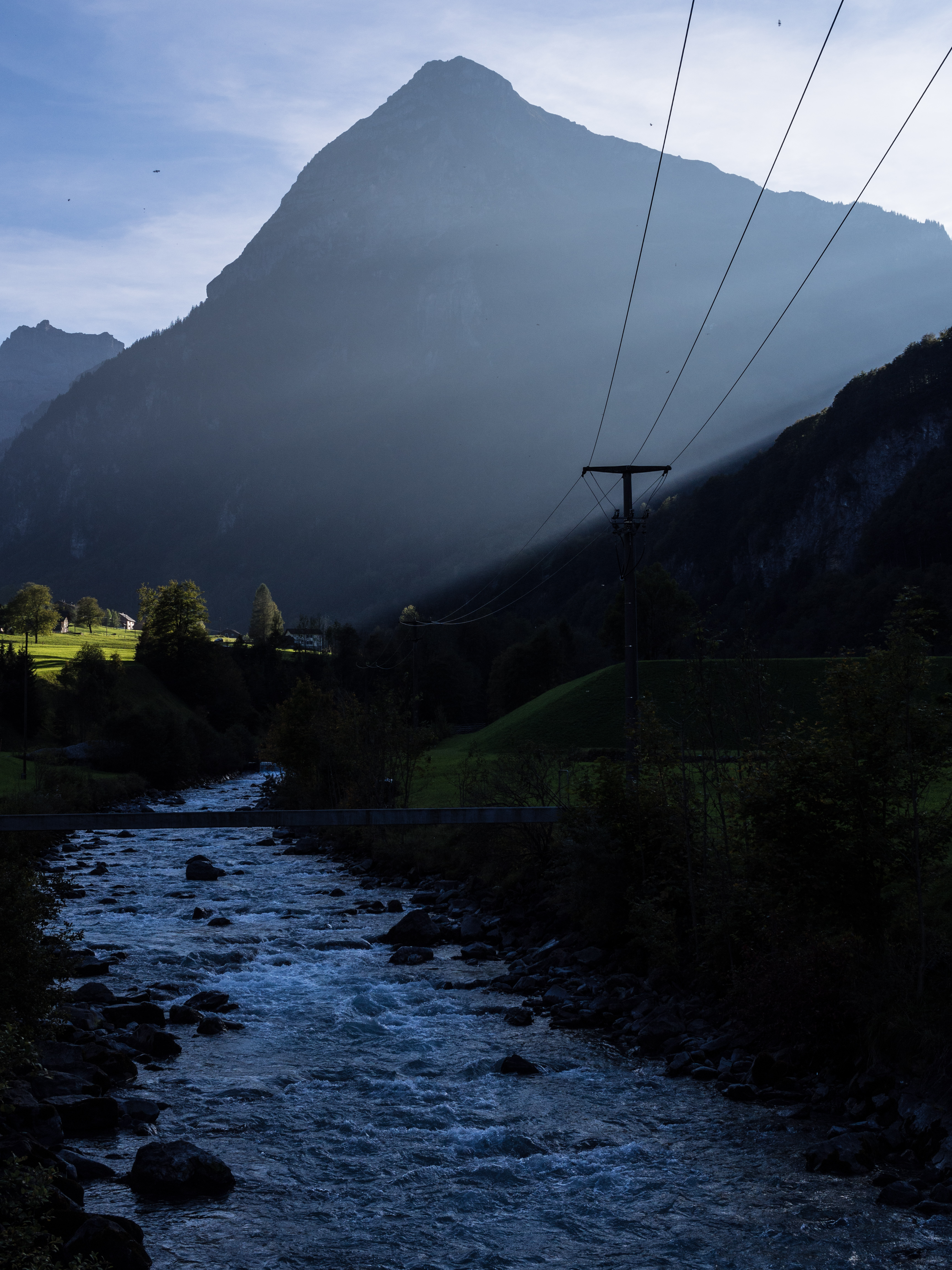
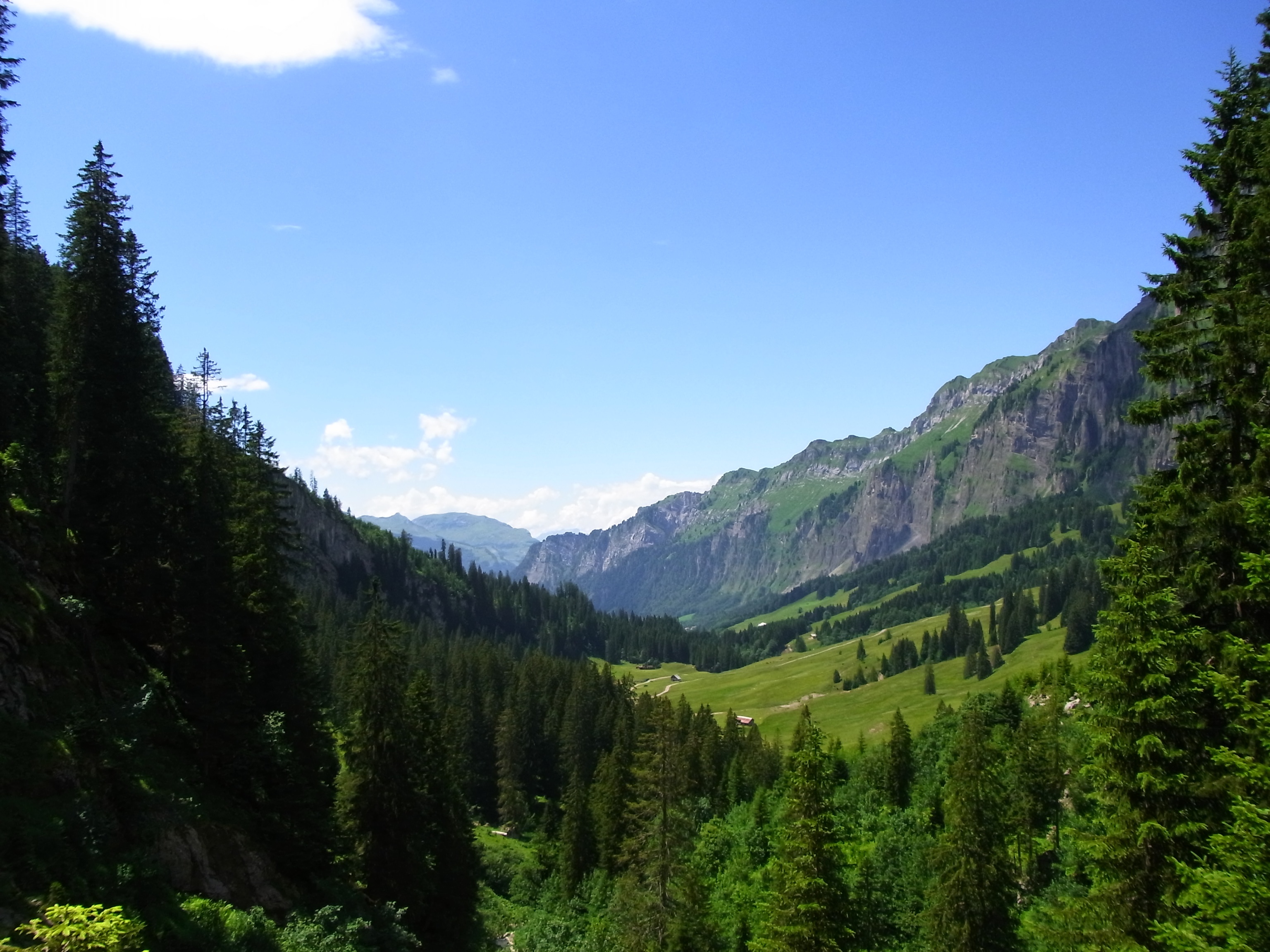
River valley

Golzern houses

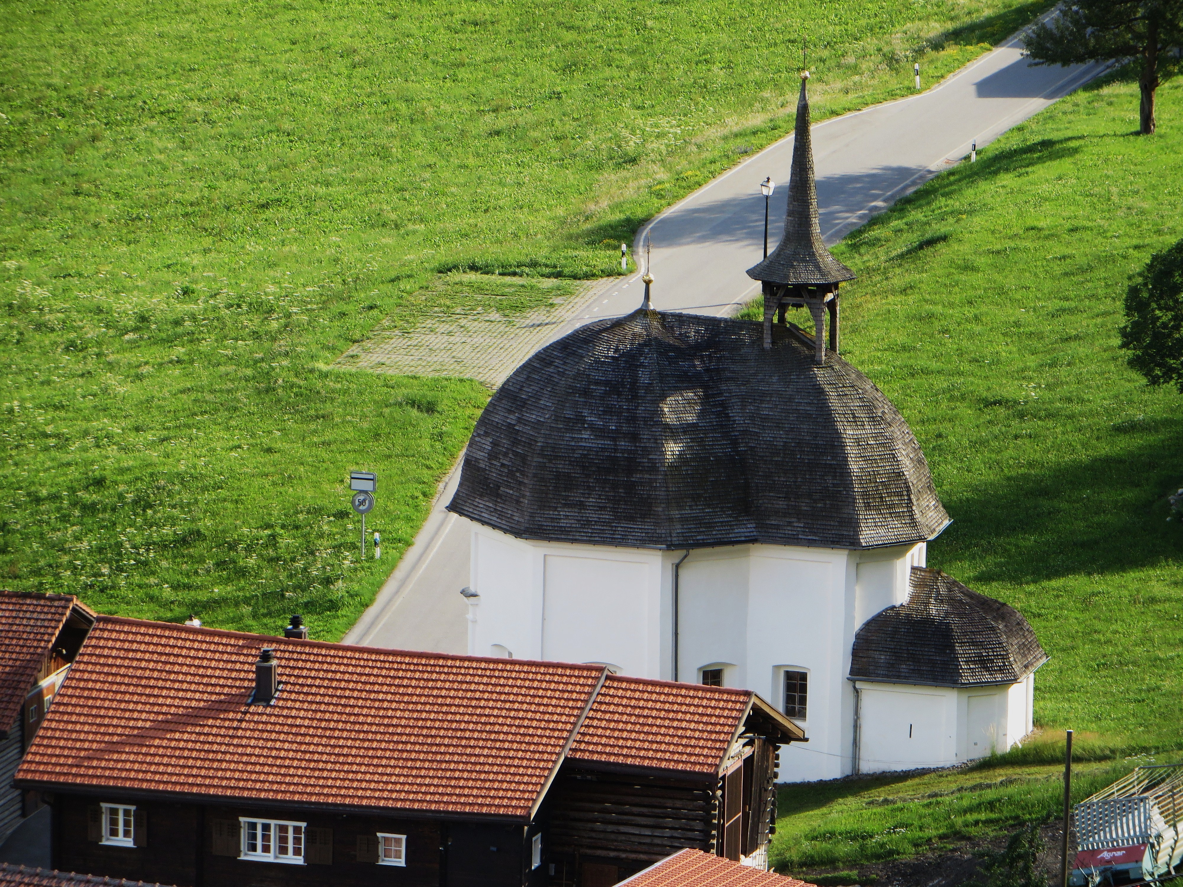
Alpine Chapel

Blue Mountain Landscape

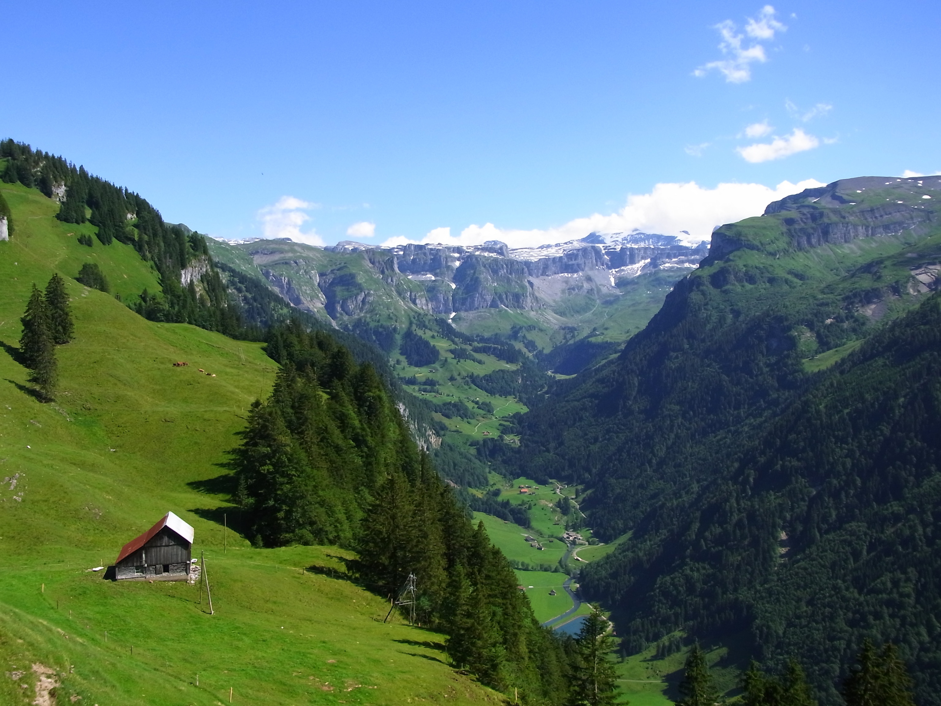
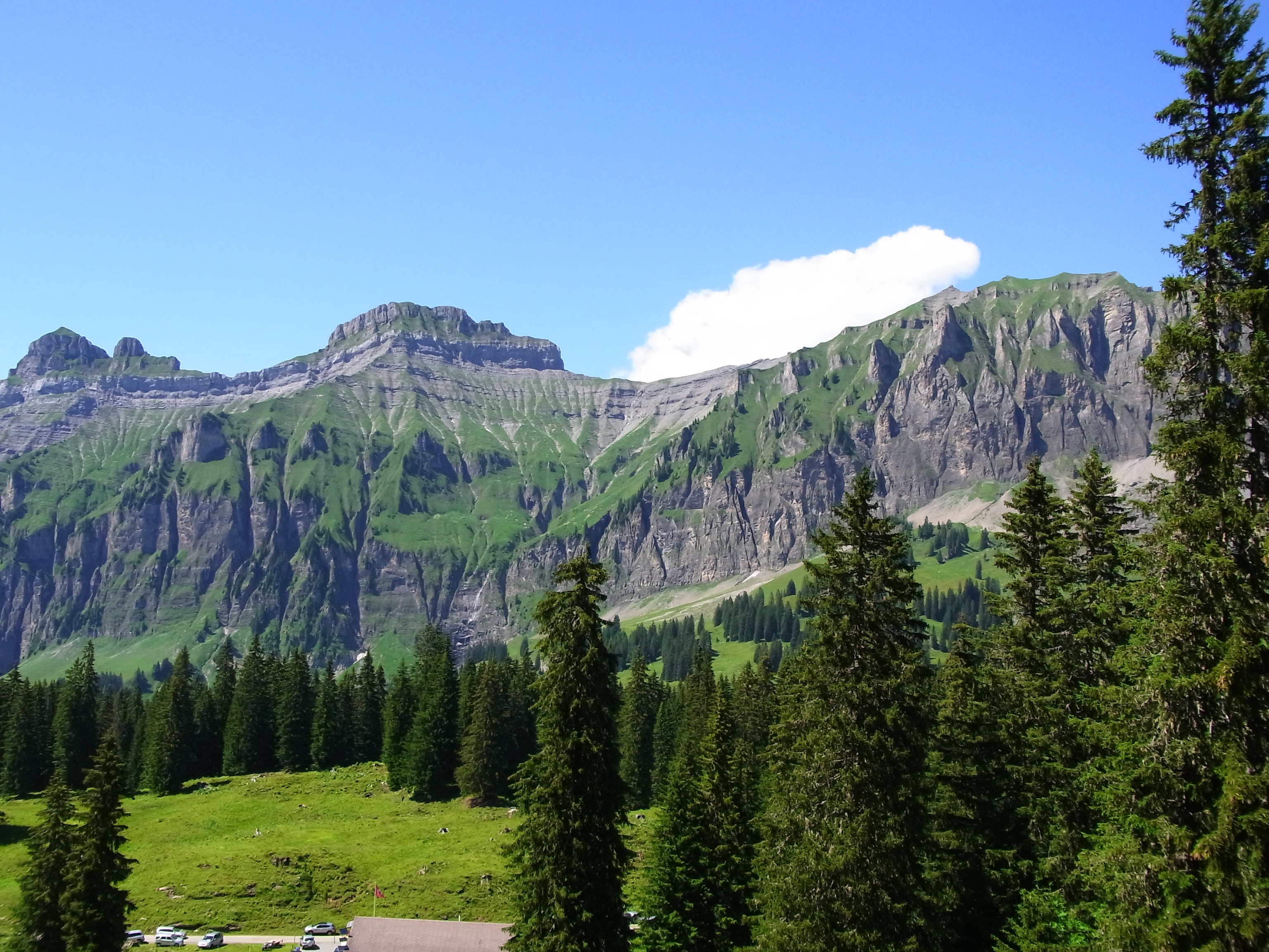
Mountain Range
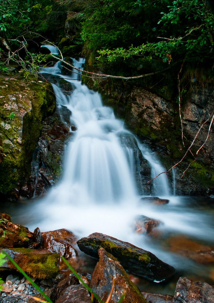
Rapids near Braunwald

Mother Nature, Braunwald [EXPLORED]

sit down and enjoy the view

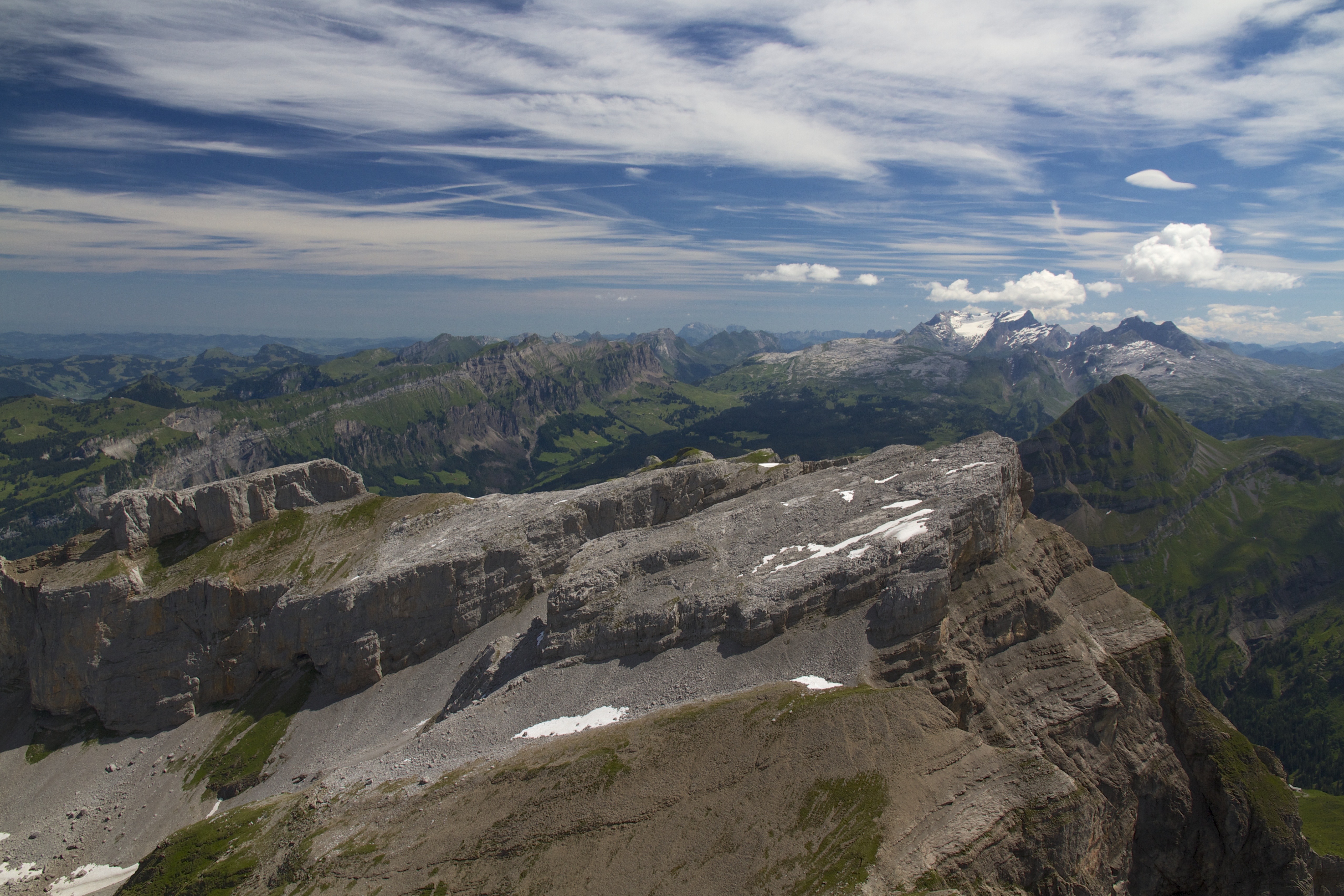
Moonscape-2
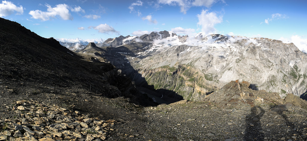
Panorama from Chaiserstock
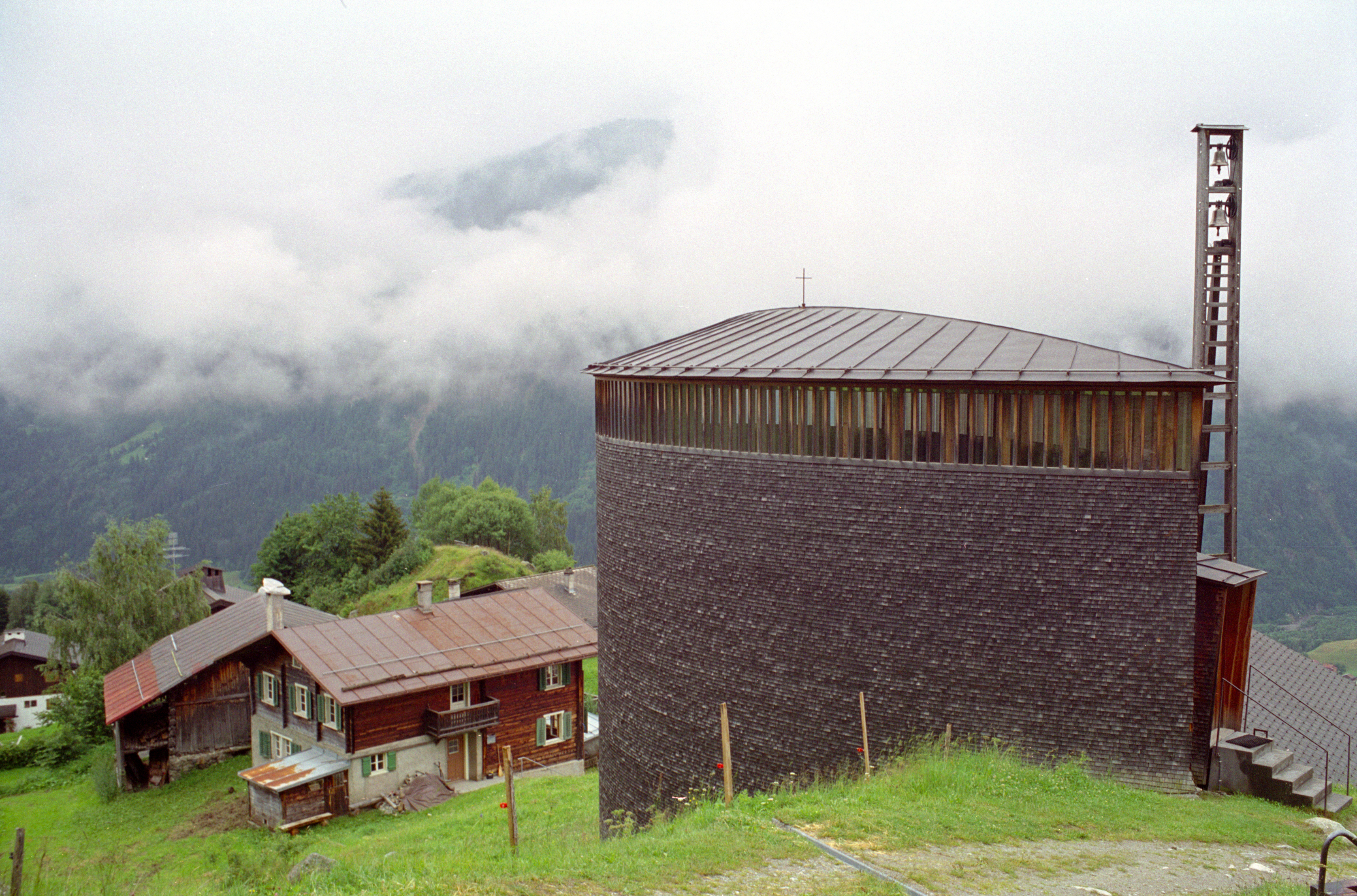
saint benedict chapel 6 exterior from slightly uphill
The view from Linthal up to the shining Klausen
Love the mountains!
Love the view!
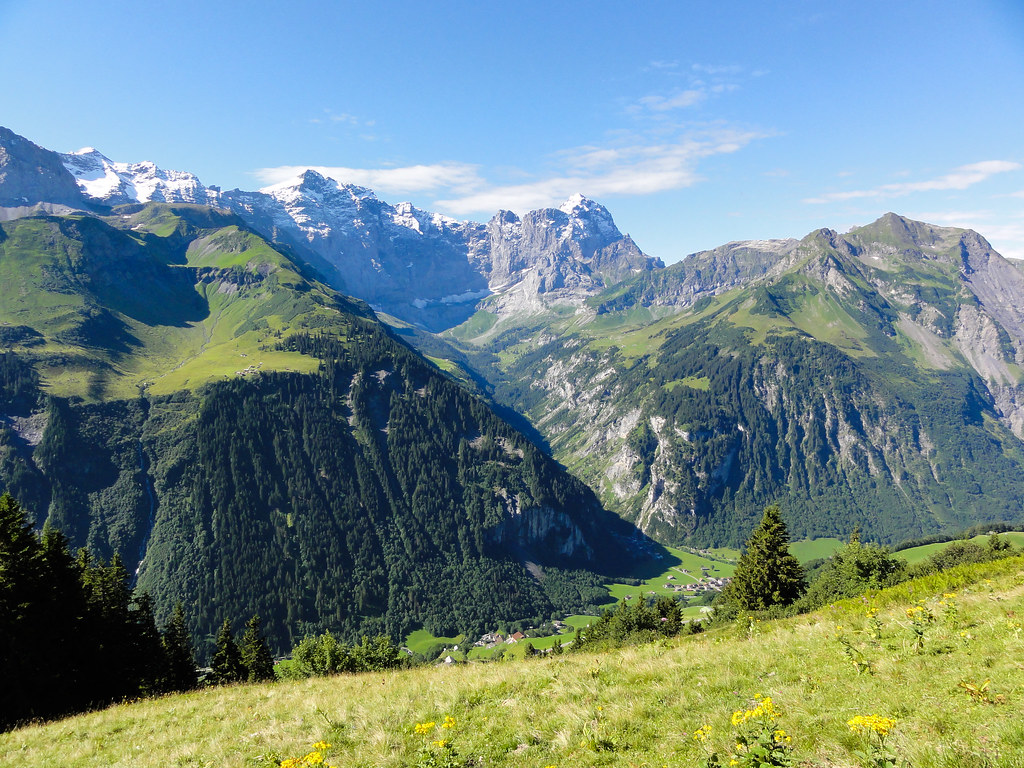
Looking back down the valley

Rapids near Braunwald
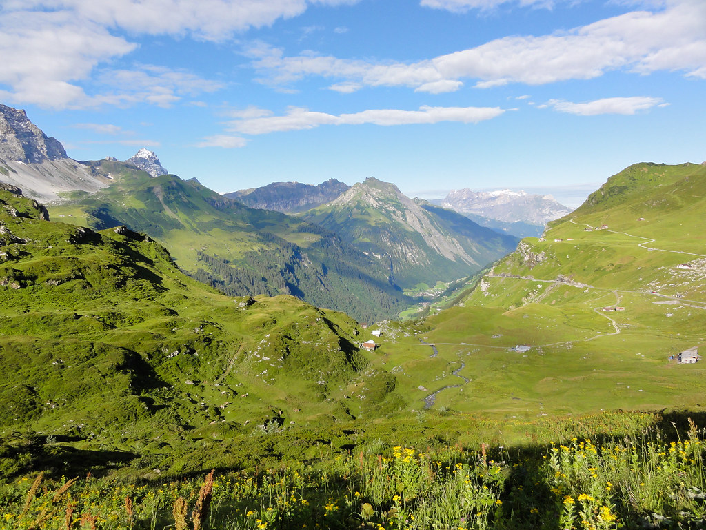
View of Brunnital
View of Unterschaechen

View of Buerglen, Attinghausen, Schattdorf and Altdorf
Topographic Map of Bocktschingel, Spiringen, Switzerland
Find elevation by address:

Places near Bocktschingel, Spiringen, Switzerland:
Clariden
Gemsfairenstock
Piz Cazarauls
Spiringen
Glatten
Heimstock
Piz Urlaun
Piz Cambrialas
Bifertenstock
Piz Posta Biala
Piz Avat
Schiben
Glarus Alps
Selbsanft
Ortstock
Piz Ner
Chli Ruchen
Cavistrau
Alpler Horn
Linthal
Recent Searches:
- Elevation of Corso Fratelli Cairoli, 35, Macerata MC, Italy
- Elevation of Tallevast Rd, Sarasota, FL, USA
- Elevation of 4th St E, Sonoma, CA, USA
- Elevation of Black Hollow Rd, Pennsdale, PA, USA
- Elevation of Oakland Ave, Williamsport, PA, USA
- Elevation of Pedrógão Grande, Portugal
- Elevation of Klee Dr, Martinsburg, WV, USA
- Elevation of Via Roma, Pieranica CR, Italy
- Elevation of Tavkvetili Mountain, Georgia
- Elevation of Hartfords Bluff Cir, Mt Pleasant, SC, USA