Elevation of Boca Raton, FL, USA
Location: United States > Florida > Palm Beach County > Boca Raton >
Longitude: -80.159604
Latitude: 26.4039904
Elevation: 6m / 20feet
Barometric Pressure: 101KPa
Elevation Map:
Satellite Map:
Related Photos:

Sunrise At The Pier

GREEN CAY WETLANDS

Light My Fire

Ruffled Ridges

Ibis Jetstream

Rainbow Dreams

November Sunrise

Box of Red Lines

Steeler's Wheel [explore]

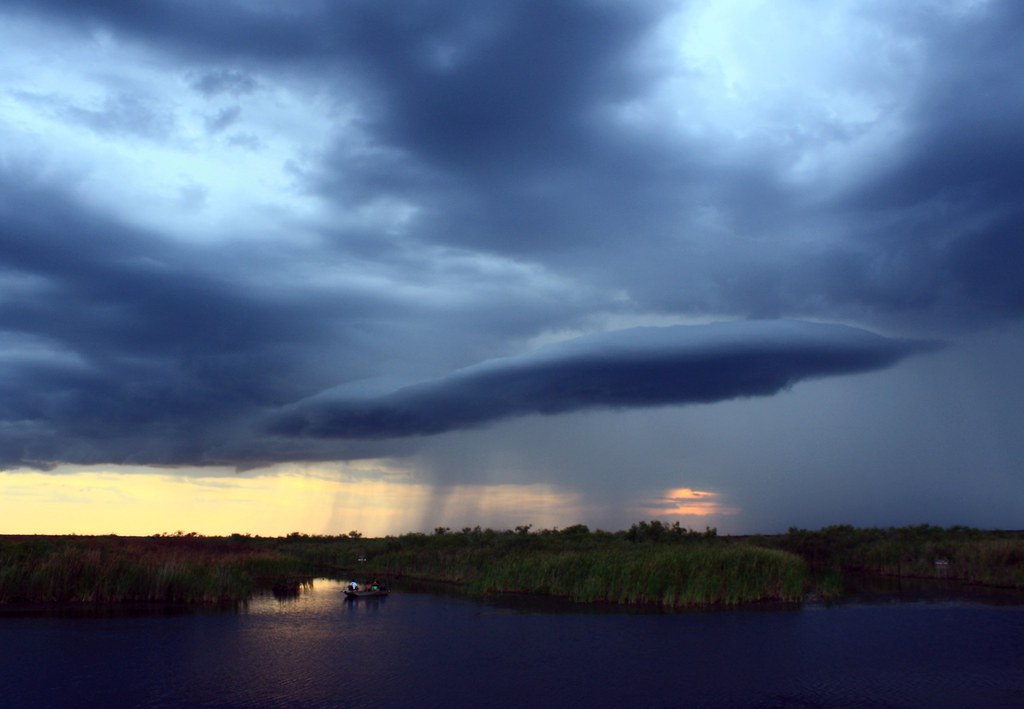
Stormy Spring

Holiday Blanket

Steel Water

Blue Bayou

Palm Sunday

Beautiful Sunrise.
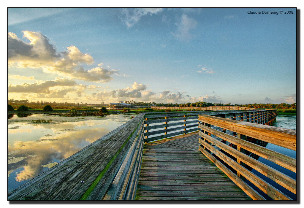
Winding Boardwalk

Maroon Ceiling [explore]
On Cloud Nine

Dog Beach Sunrise

Heaven's Gate

Blue Fish
Topographic Map of Boca Raton, FL, USA
Find elevation by address:

Places near Boca Raton, FL, USA:
3938 Nw 53rd St
20583 Boca W Dr
8658 Vía Reale
8402 Lookout Cir
8434 Twin Lake Dr
8649 Jasmine Way
8592 Overset Ln
19921 Boca W Dr Apt 3182
19706 Waters Pond Ln Apt 504
Bondsberry Ct, Boca Raton, FL, USA
438 Fanshaw K
Boca Raton, FL, USA
18703 Long Lake Dr
20155 Boca W Dr
18711 Candlewick Dr C
17846 Cadena Dr
7 Tracy Ct, Boca Raton, FL, USA
9144 Bedford Dr
4028 Ainslie Dr
18901 Haywood Terrace Apt 3
Recent Searches:
- Elevation of Corso Fratelli Cairoli, 35, Macerata MC, Italy
- Elevation of Tallevast Rd, Sarasota, FL, USA
- Elevation of 4th St E, Sonoma, CA, USA
- Elevation of Black Hollow Rd, Pennsdale, PA, USA
- Elevation of Oakland Ave, Williamsport, PA, USA
- Elevation of Pedrógão Grande, Portugal
- Elevation of Klee Dr, Martinsburg, WV, USA
- Elevation of Via Roma, Pieranica CR, Italy
- Elevation of Tavkvetili Mountain, Georgia
- Elevation of Hartfords Bluff Cir, Mt Pleasant, SC, USA