Elevation of Bob Penland Road, Bob Penland Rd, Shooting Creek, NC, USA
Location: United States > North Carolina > Clay County > Hayesville > Hayesville >
Longitude: -83.647997
Latitude: 35.0365399
Elevation: 672m / 2205feet
Barometric Pressure: 94KPa
Elevation Map:
Satellite Map:
Related Photos:

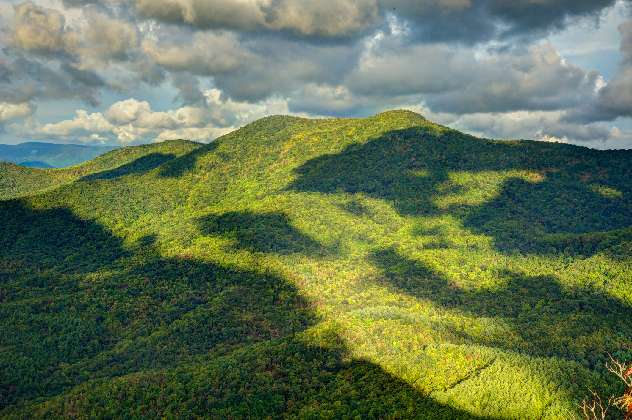
Smoky Mountains on Fire (II)

Sunset of Totality

Nantahala Ranger House #3

Smoky Mountains on Fire (III)

W4C/WM-024 - Siler Bald View
Standing Indian22

Lake Chatuge from Bell Mtn
Standing Indian Mountain
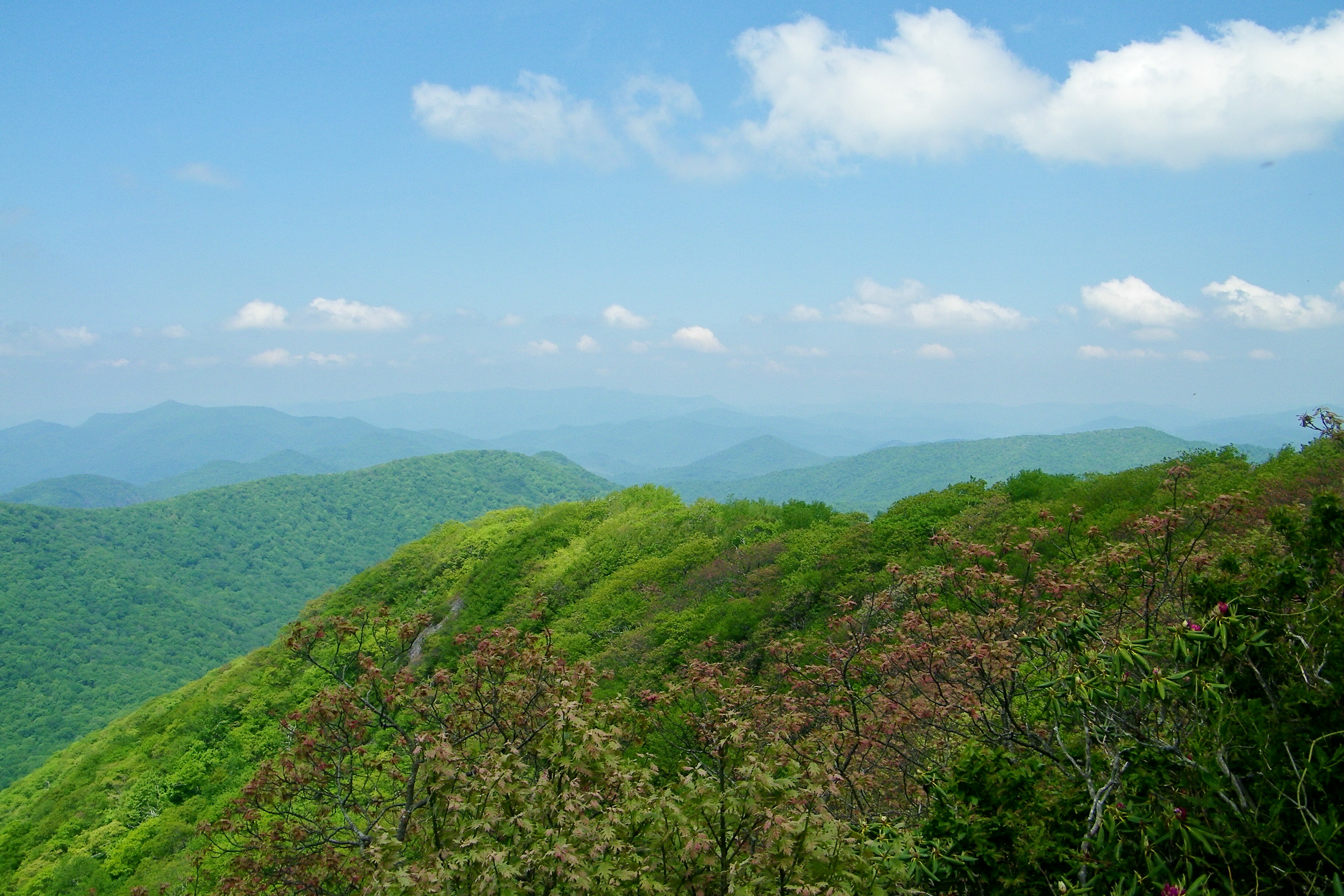
View from Albert Mountain
Halfway up Runaway Knob
View of Eagle Mountain - W4G/NG-008
Standing Indian23
Standing Indian Mountain
Silers Bald

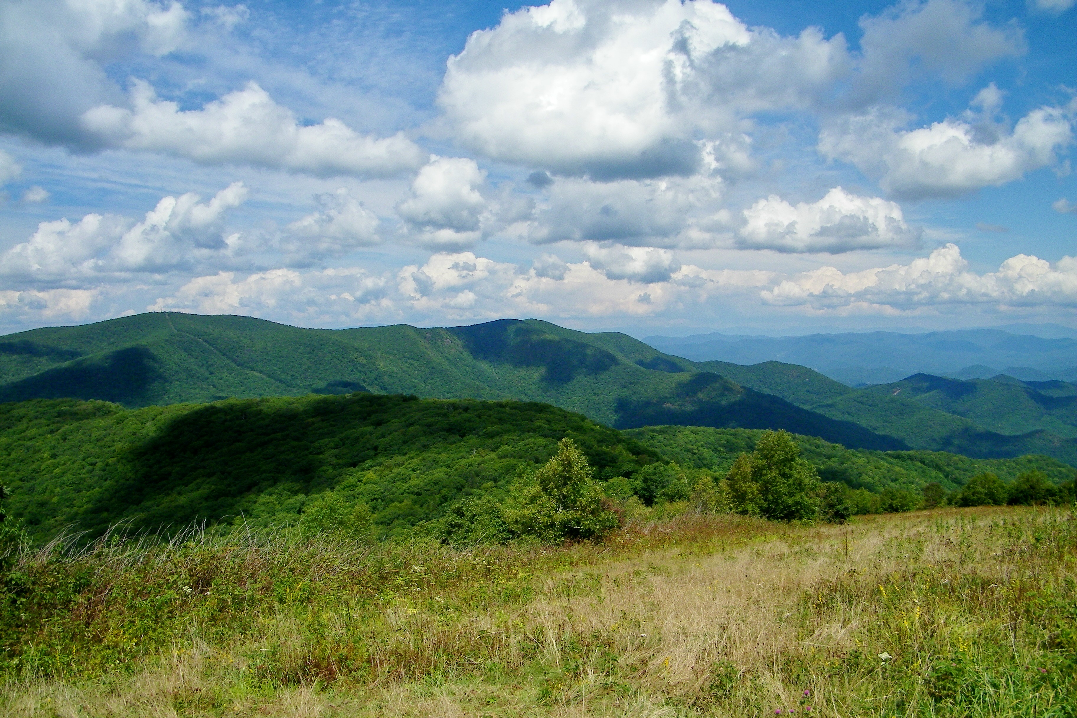
The View

Albert Mountain Fire Tower
View from W4C/WM-065 - Rocky Cove Knob
img013_edited-1
A view from Mt Albert
Spikebuck Mound Viewing area
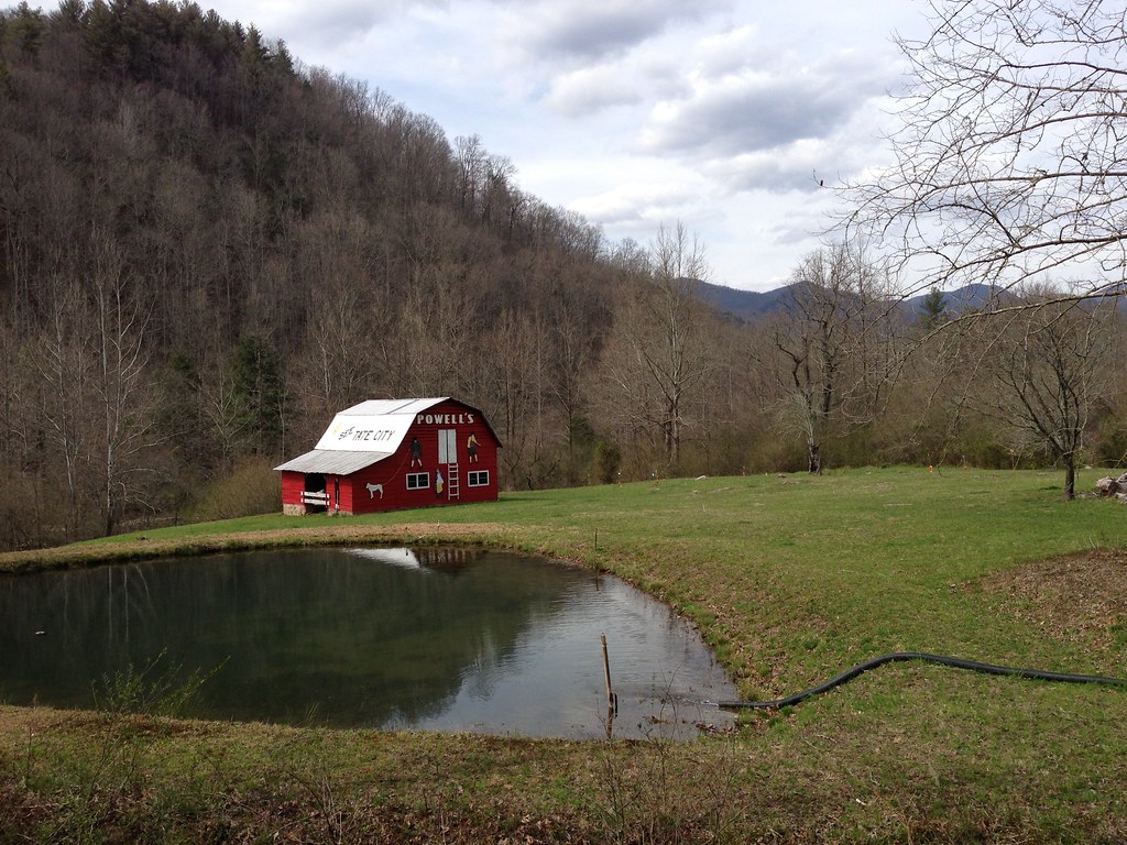
See Tate City

Rufus Morgan Falls
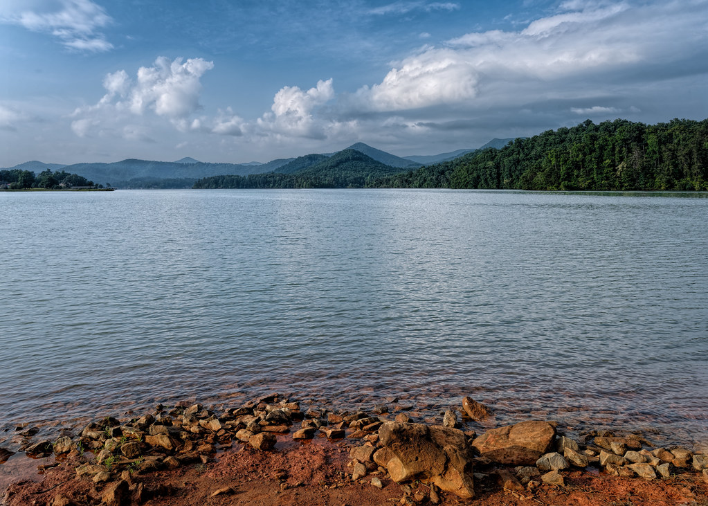
Chattuge Lake

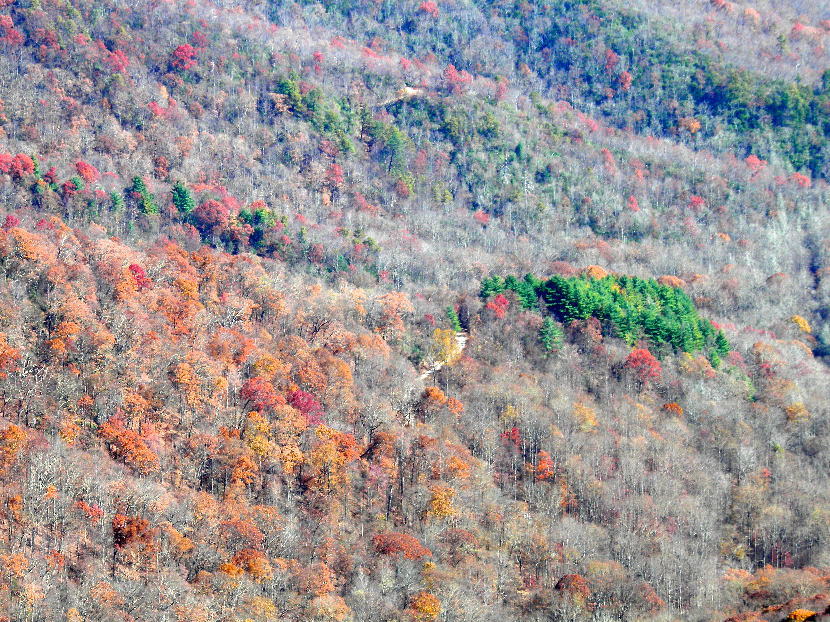
Fall colors
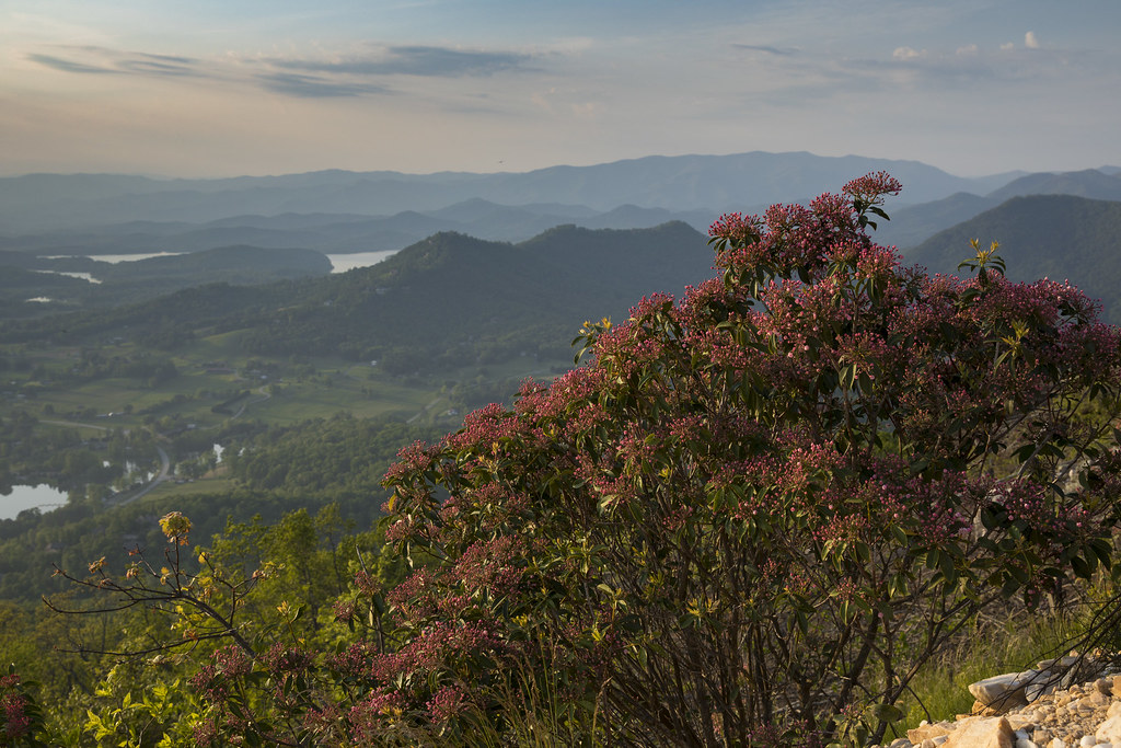
Mountain Laurel Bush

Baily's Beads
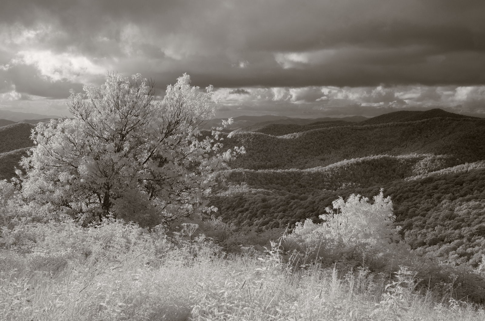
Mountain waves
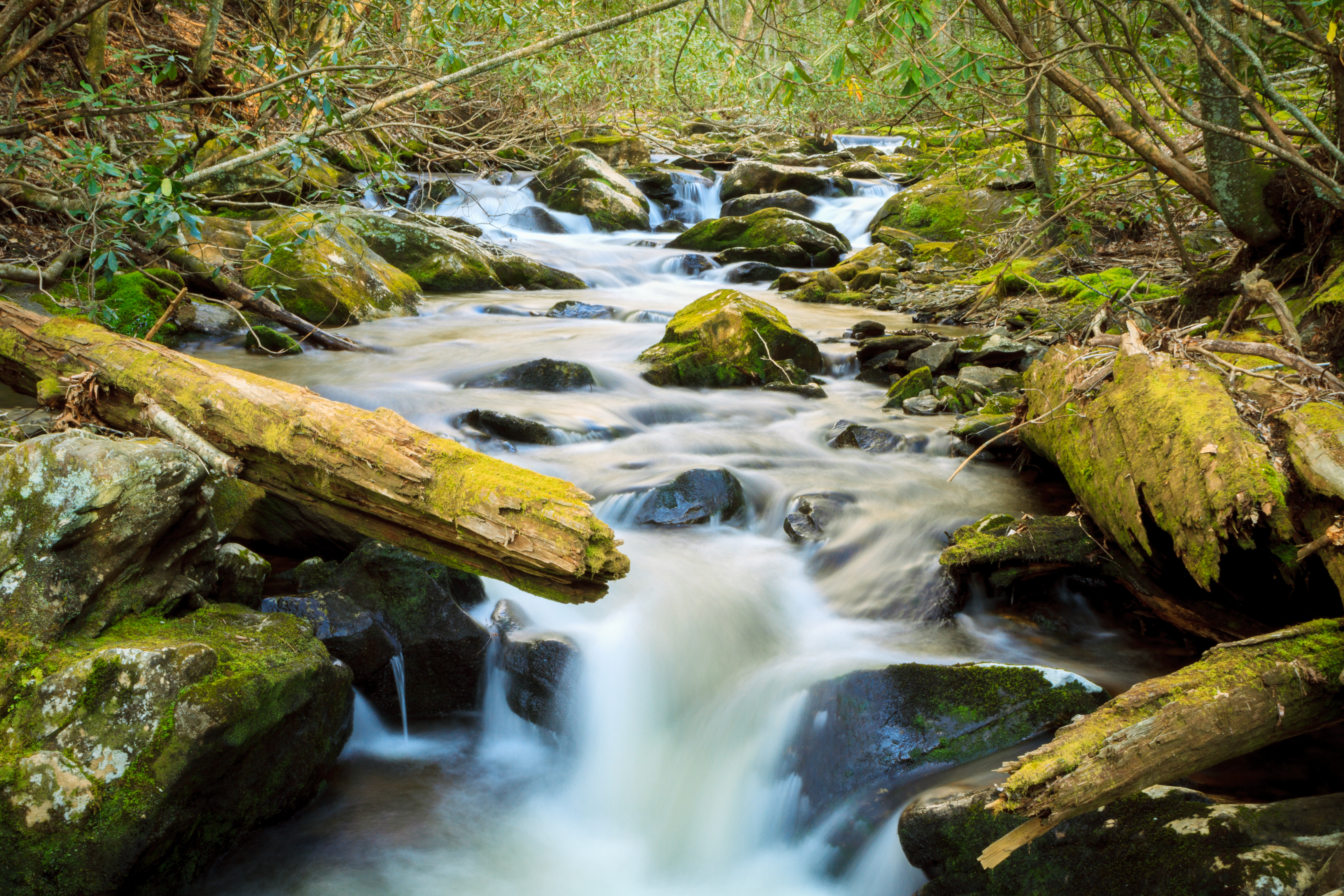
Mooney Creek
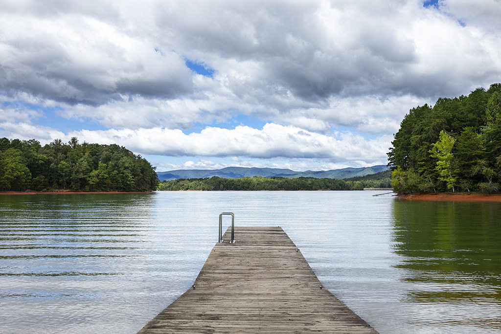
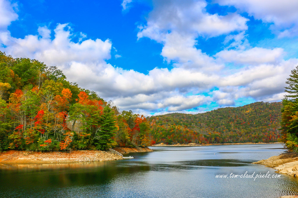
Lake Chatuge
Hiawassee - Happy Sliders Sunday
Chatuge Lake
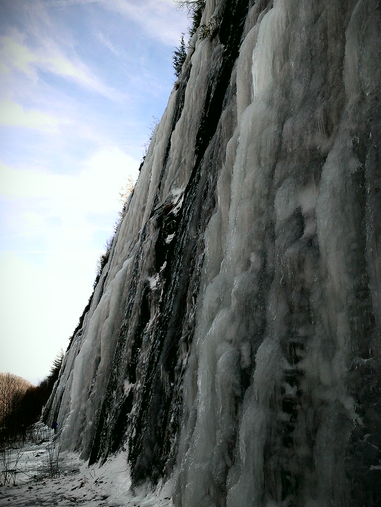
Interstate ice wall

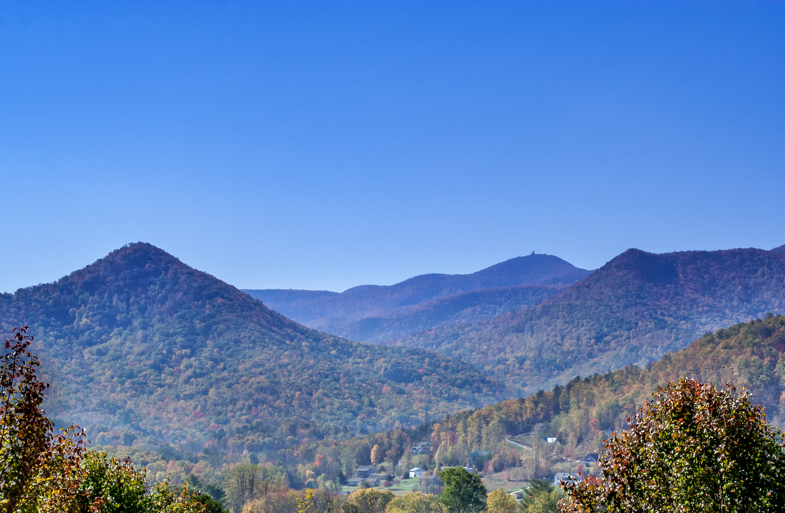
Blue Ridge
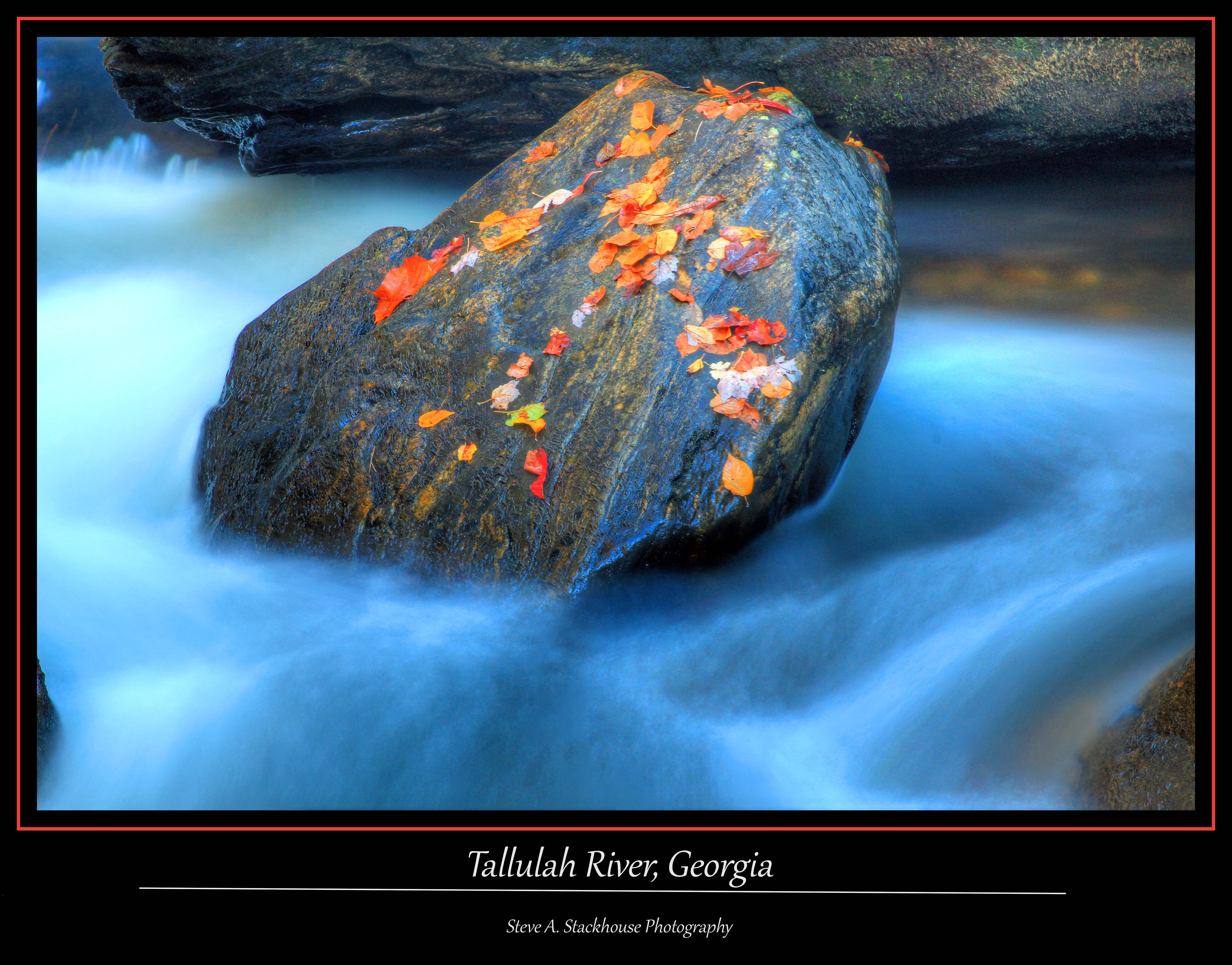
Tallulah Rock
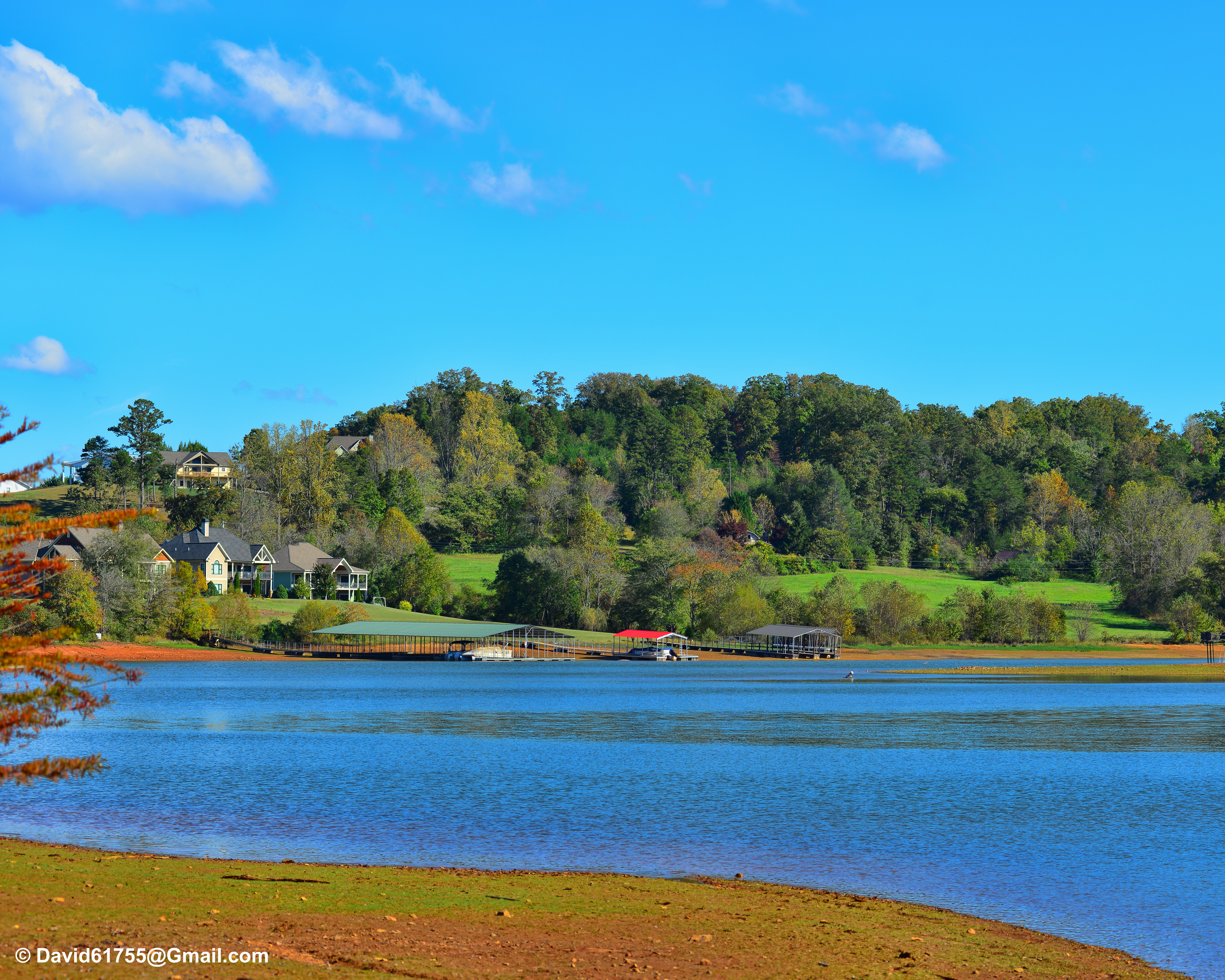
Home on the Lake #2

Lake Chatuge Sunset
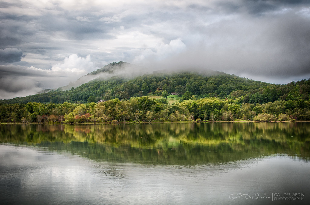
Lake Chatuge
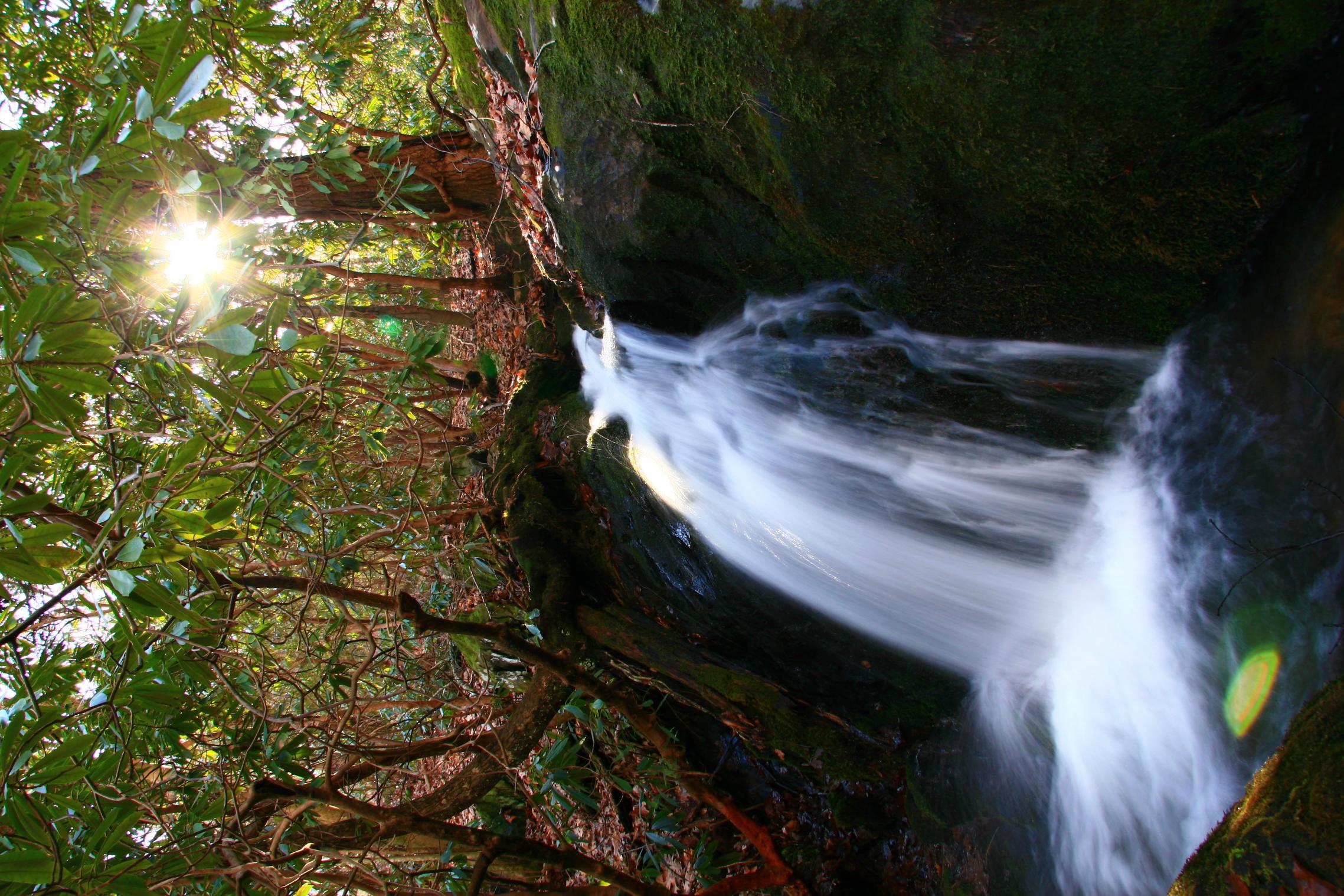
Unnamed Waterfall
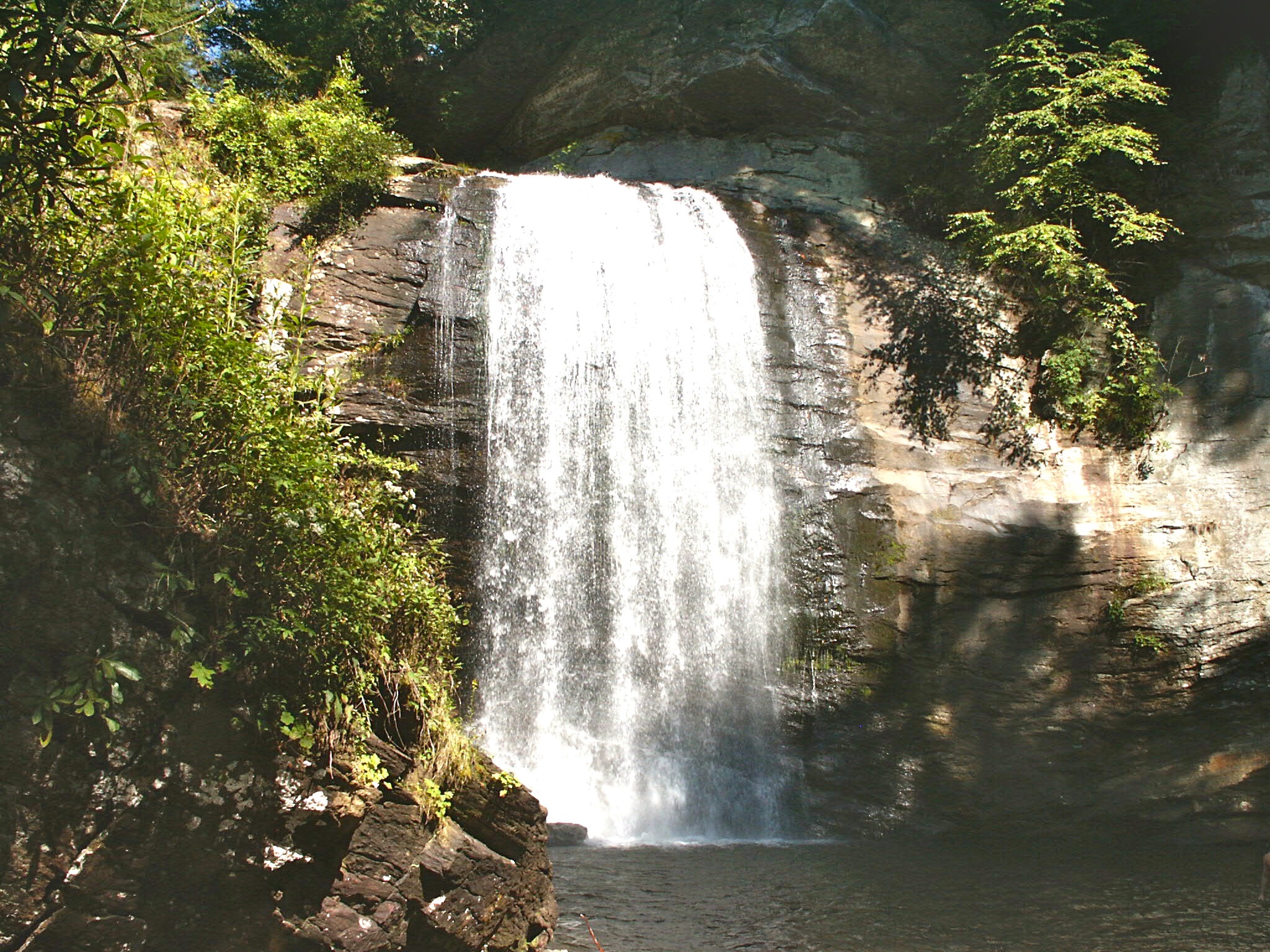
Looking Glass Falls, Pisgah National Forest, NC
Topographic Map of Bob Penland Road, Bob Penland Rd, Shooting Creek, NC, USA
Find elevation by address:

Places near Bob Penland Road, Bob Penland Rd, Shooting Creek, NC, USA:
Mountain Meadows Drive
Mountain Meadows Drive
1333 Bob Penland Rd
334 E Vineyard Rd
154 Mill Creek Overlook
6246 Old Hwy 64 E
973 E Vineyard Rd
111 Eagle Fork Trail
74 Eagle Fork Overlook
255 Stoney Brook Trail
473 Muskrat Creek Rd
35 Robert Holden Dr
327 W Vineyard Rd
256 Dick Jones Rd
78 Hideaway Cove
4195 Old Hwy 64 E
11317 Hwy 64e
63 Dick Jones Terrace
443 Dick Jones Rd
11317 Us-64
Recent Searches:
- Elevation of Corso Fratelli Cairoli, 35, Macerata MC, Italy
- Elevation of Tallevast Rd, Sarasota, FL, USA
- Elevation of 4th St E, Sonoma, CA, USA
- Elevation of Black Hollow Rd, Pennsdale, PA, USA
- Elevation of Oakland Ave, Williamsport, PA, USA
- Elevation of Pedrógão Grande, Portugal
- Elevation of Klee Dr, Martinsburg, WV, USA
- Elevation of Via Roma, Pieranica CR, Italy
- Elevation of Tavkvetili Mountain, Georgia
- Elevation of Hartfords Bluff Cir, Mt Pleasant, SC, USA