Elevation of Bob Branch Rd, Andrews, NC, USA
Location: United States > North Carolina > Cherokee County > Valleytown > Andrews >
Longitude: -83.830048
Latitude: 35.220004
Elevation: 672m / 2205feet
Barometric Pressure: 94KPa
Elevation Map:
Satellite Map:
Related Photos:

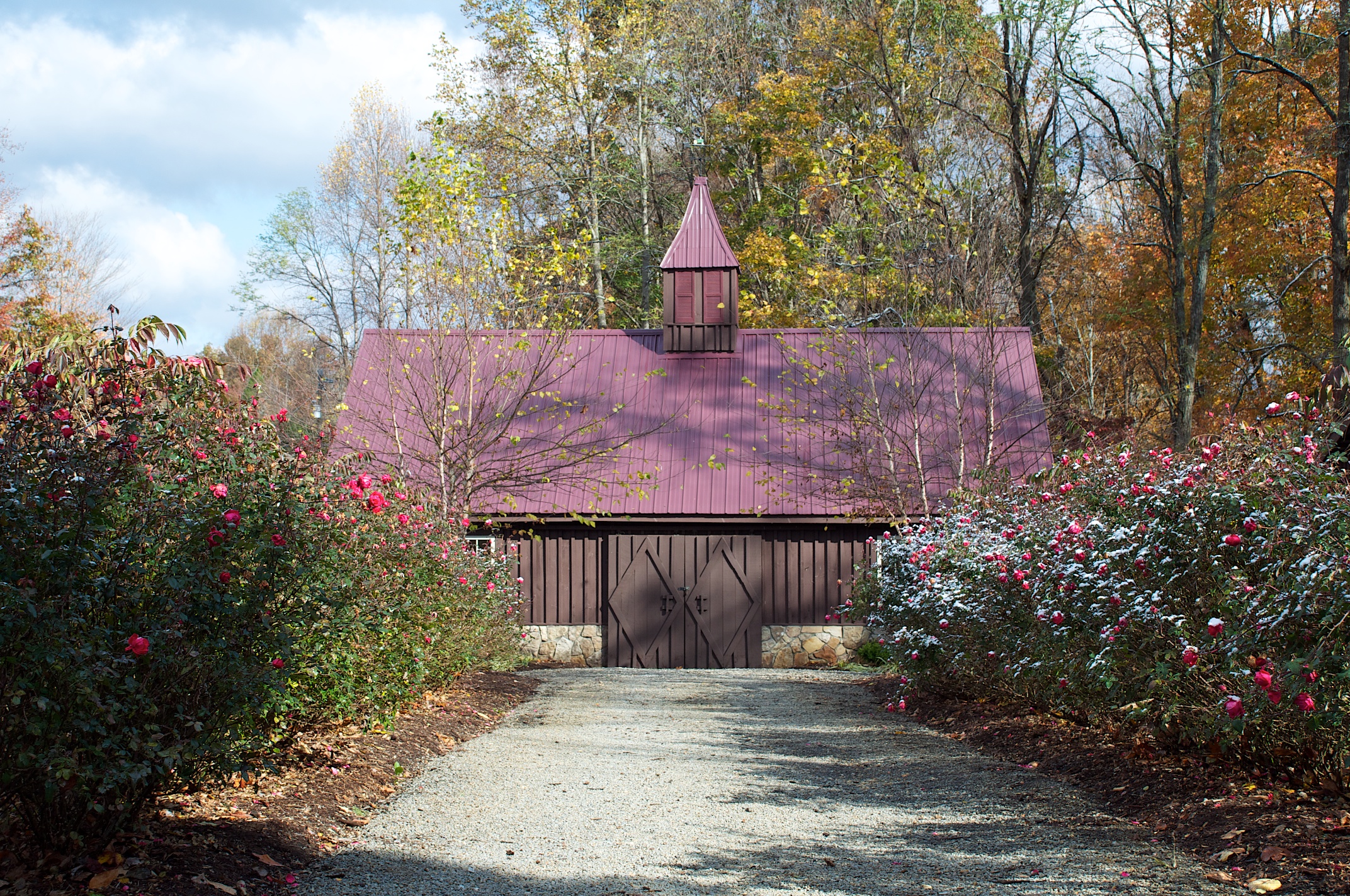
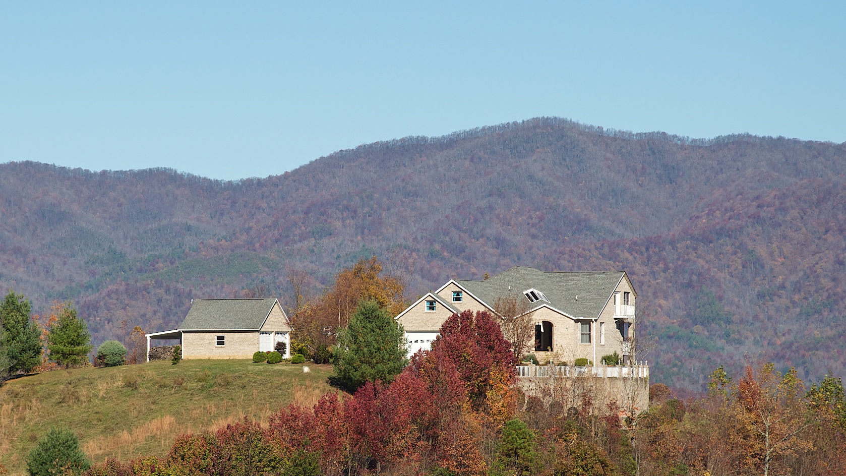
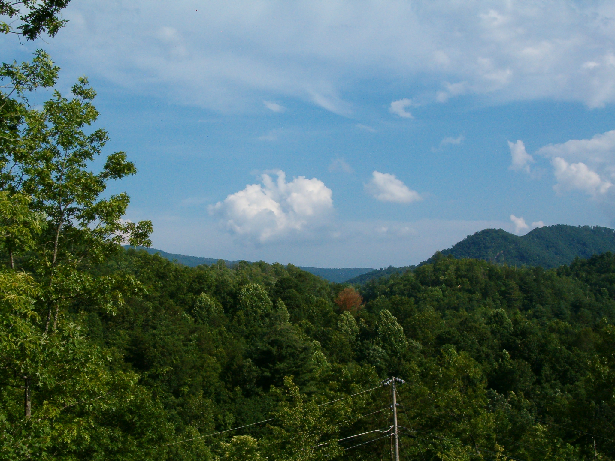
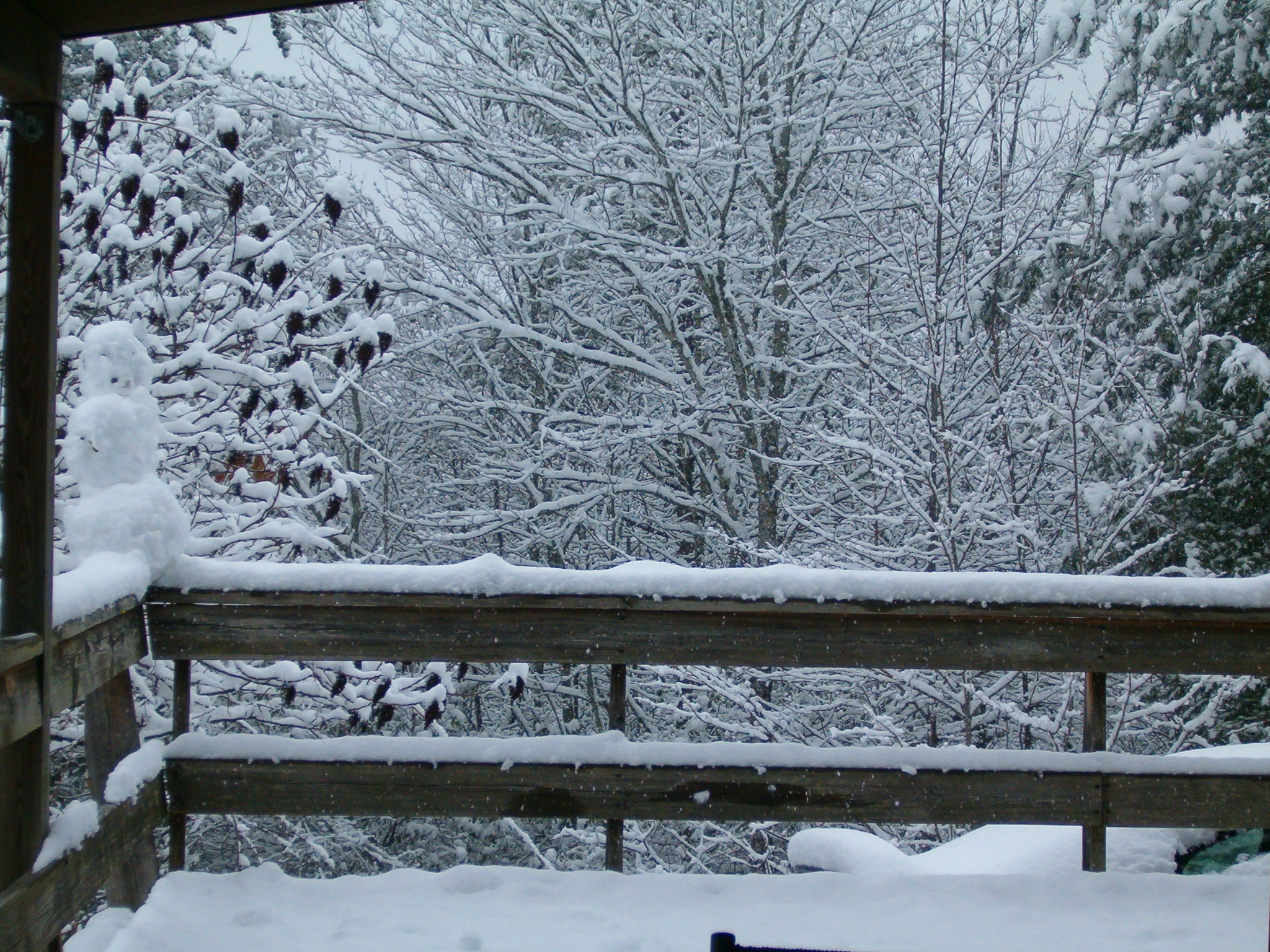
Hawkesdene House Barn Far View
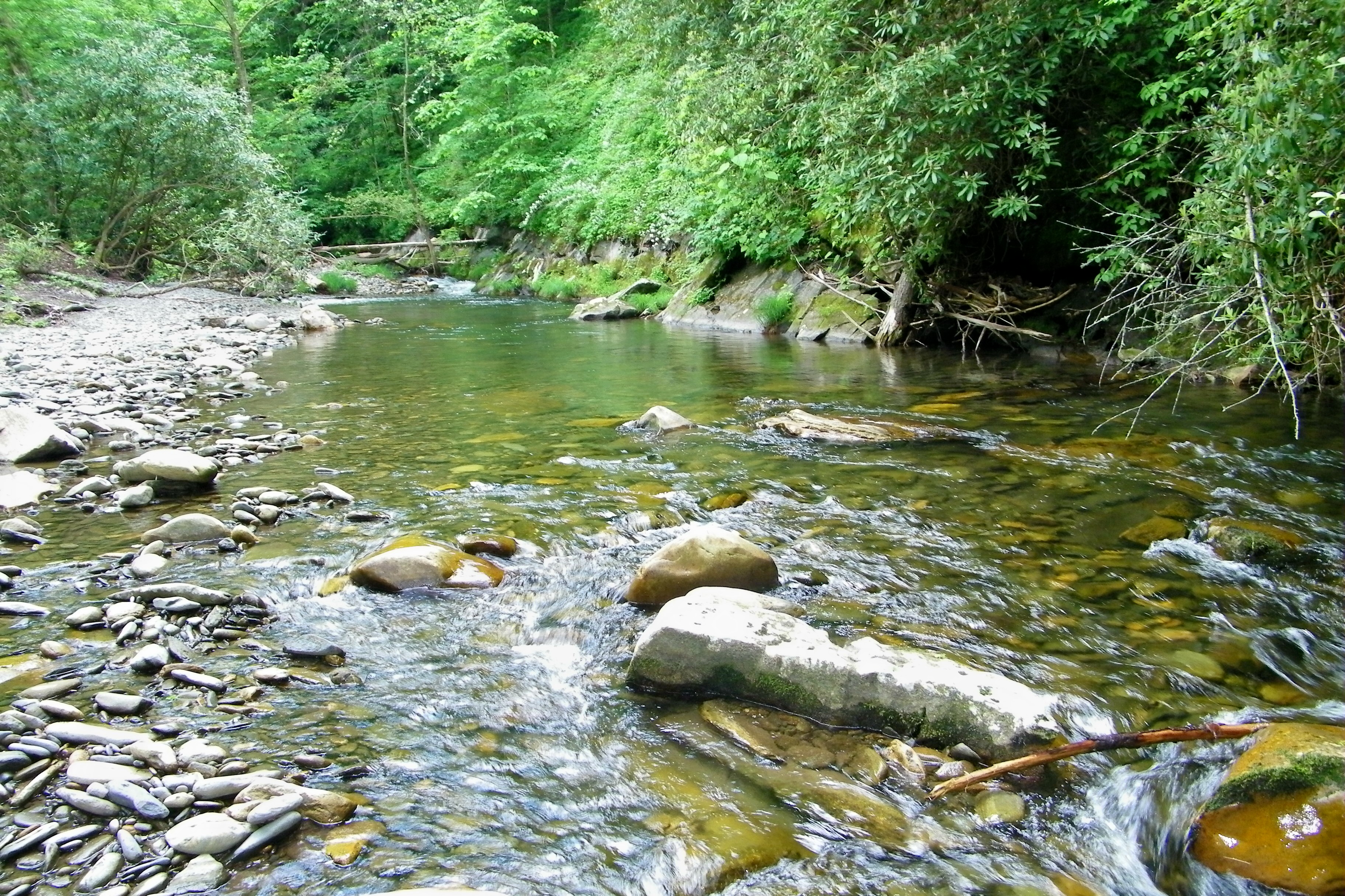
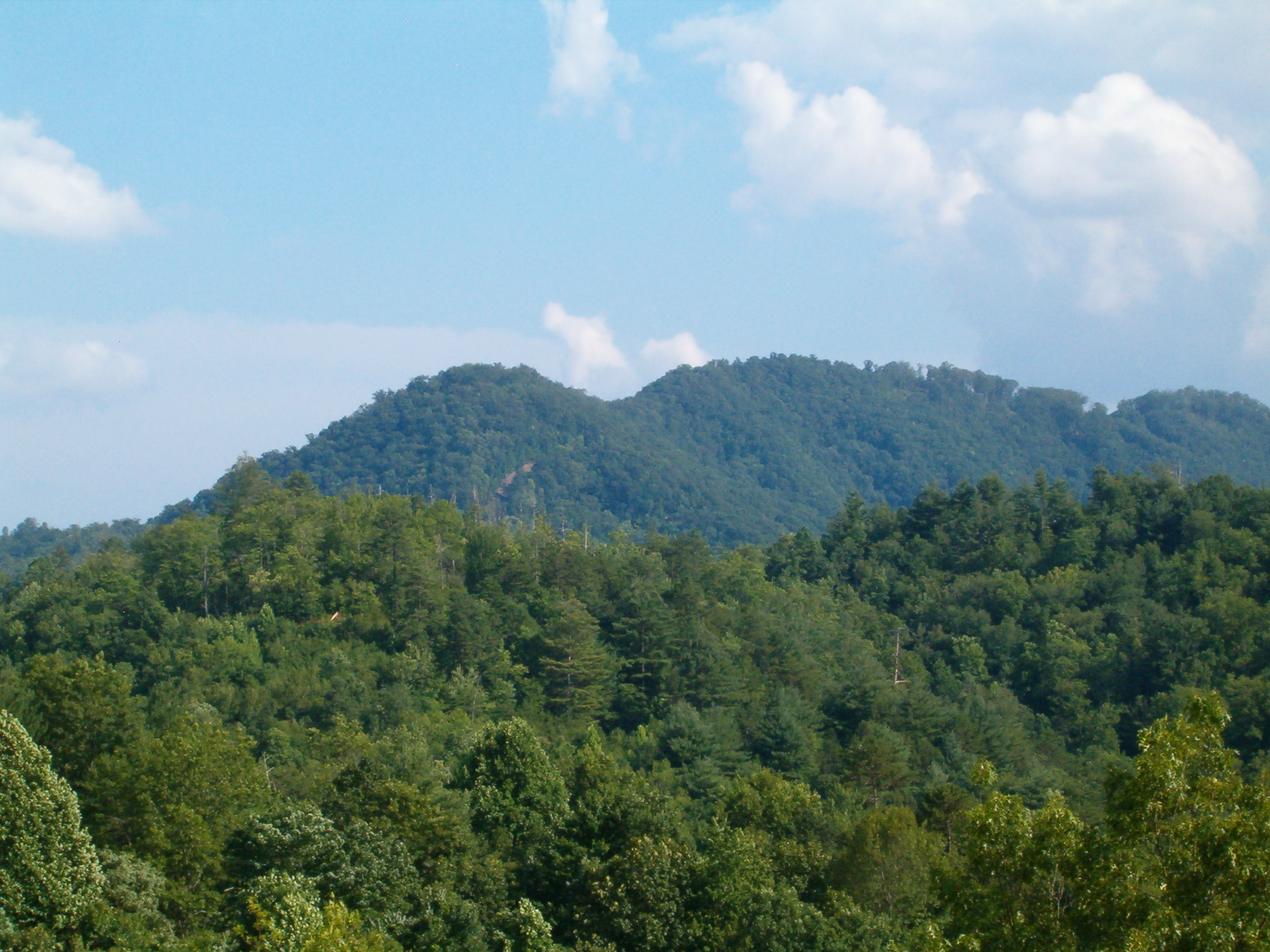
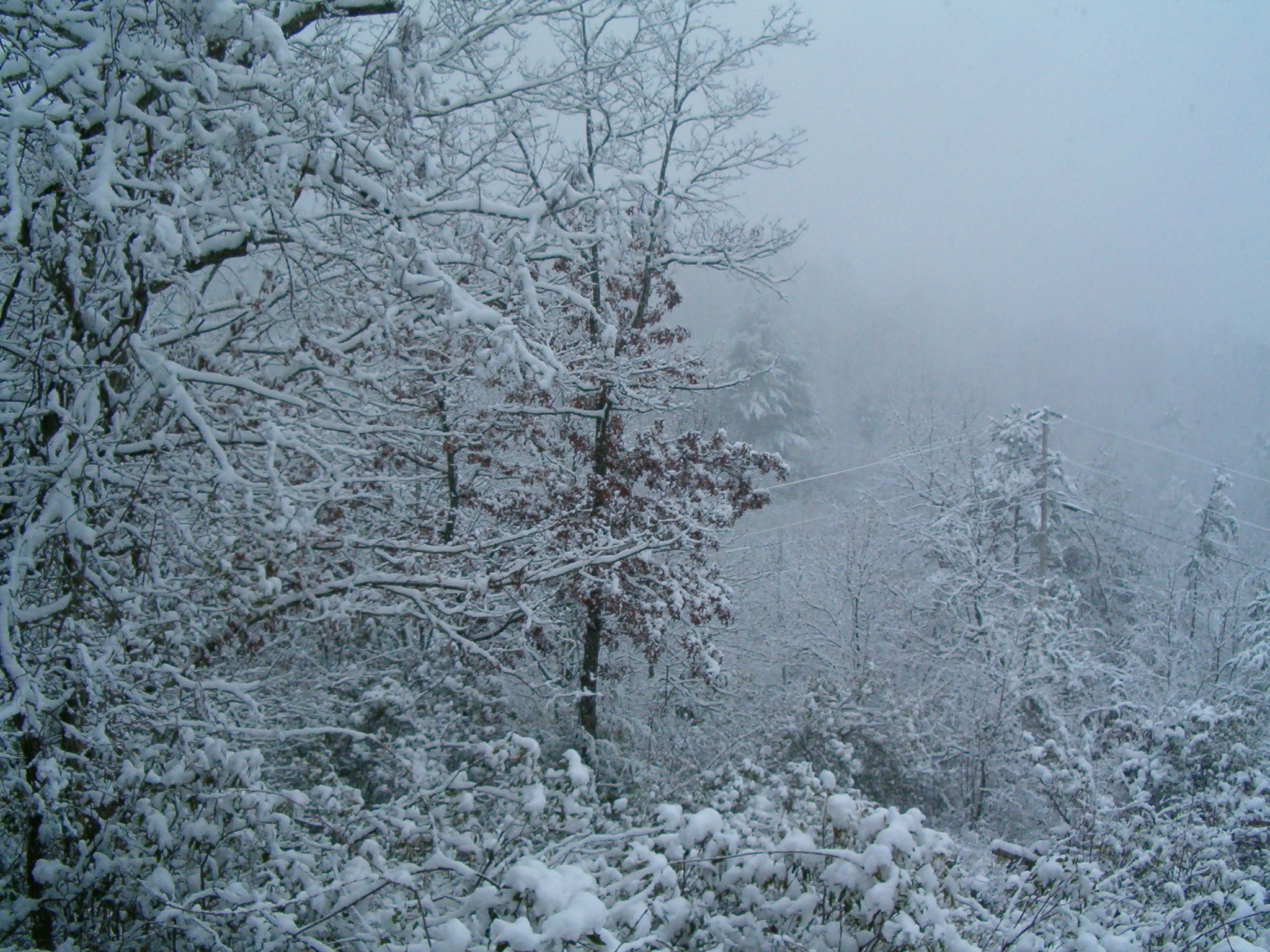
Fires Creek
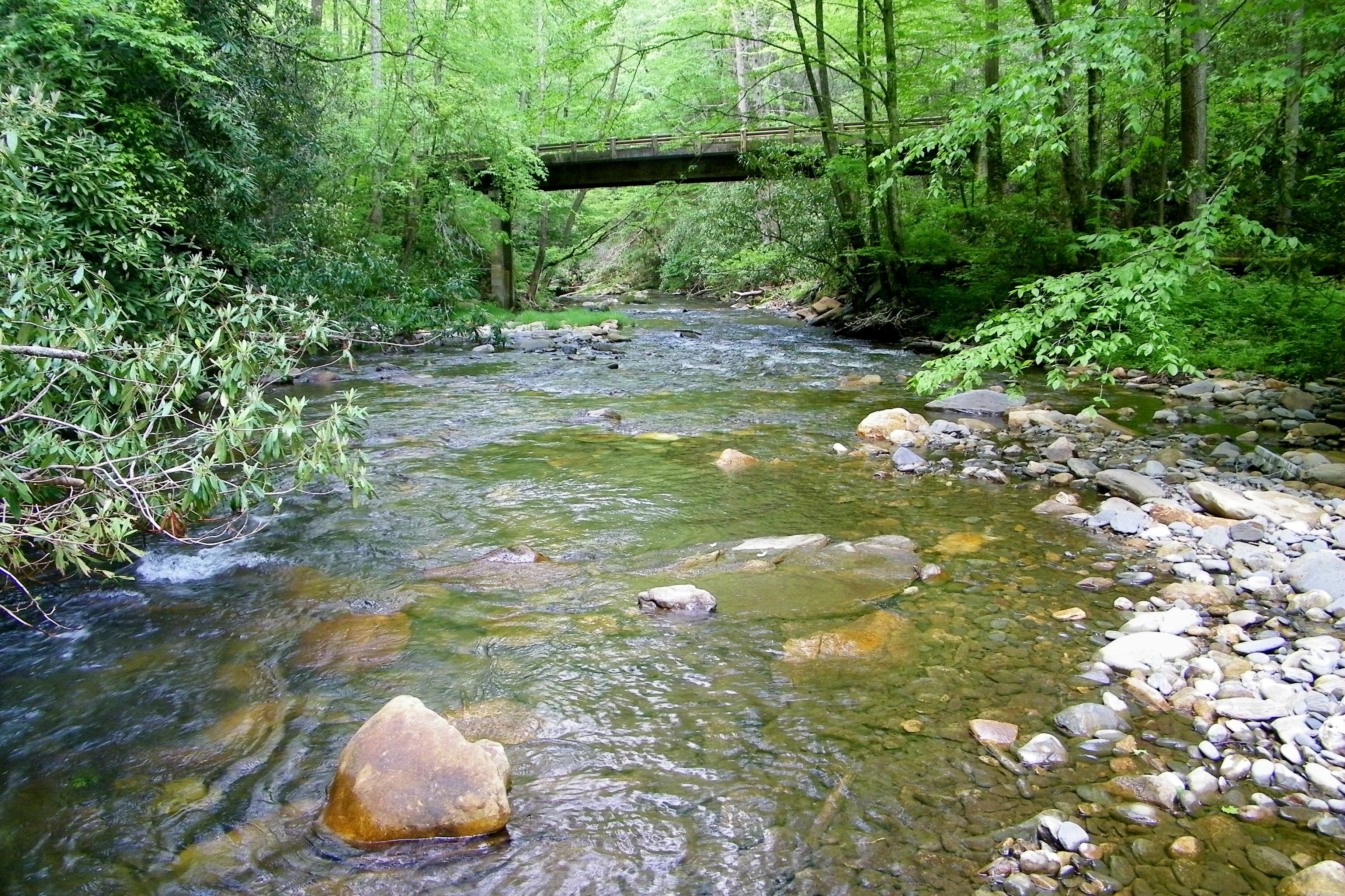
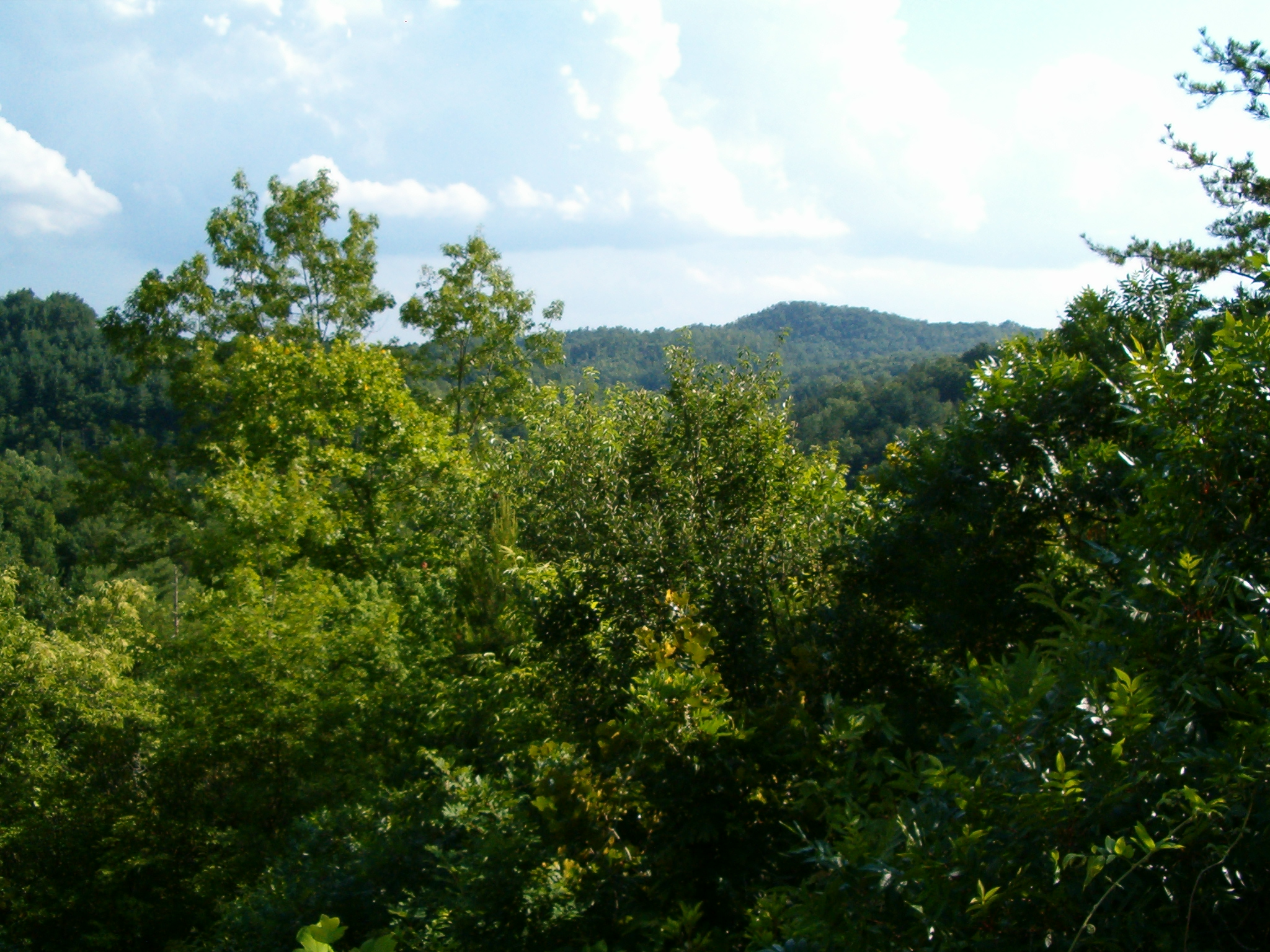
Fires Creek
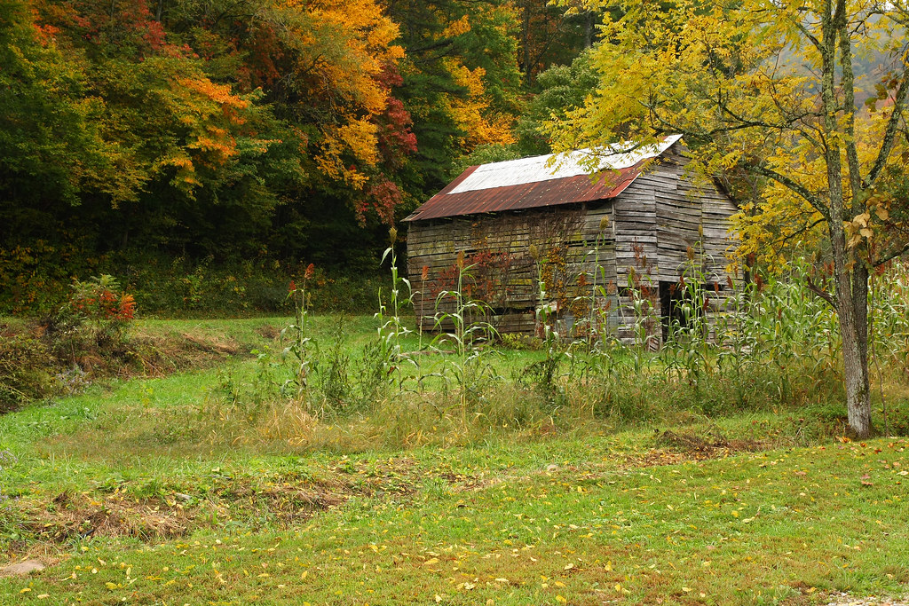
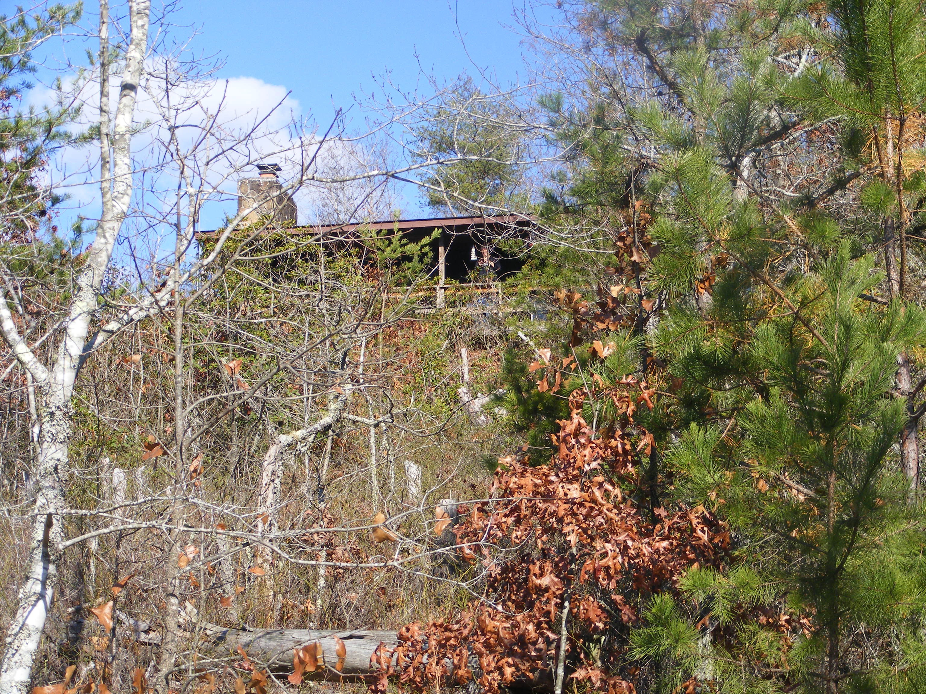
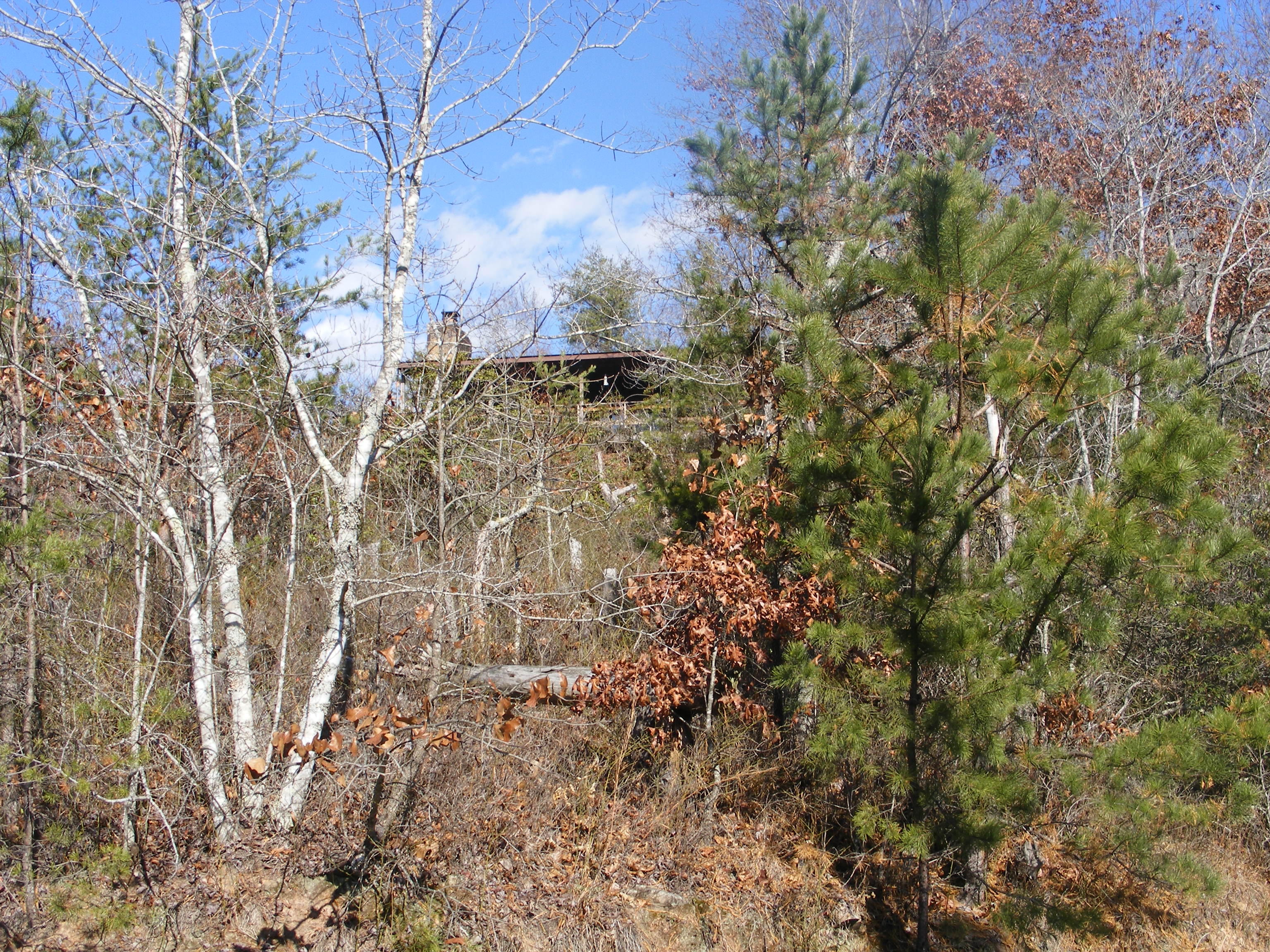
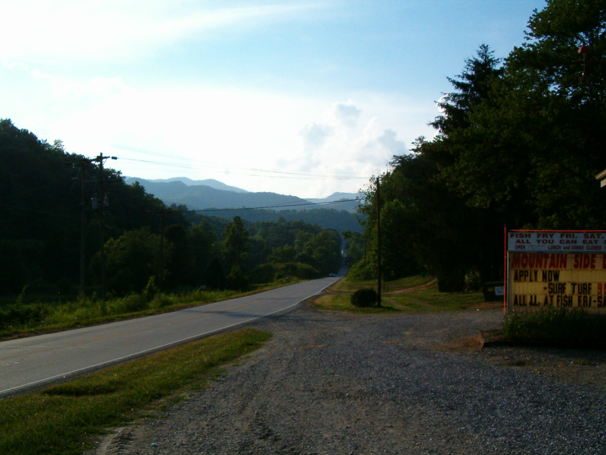
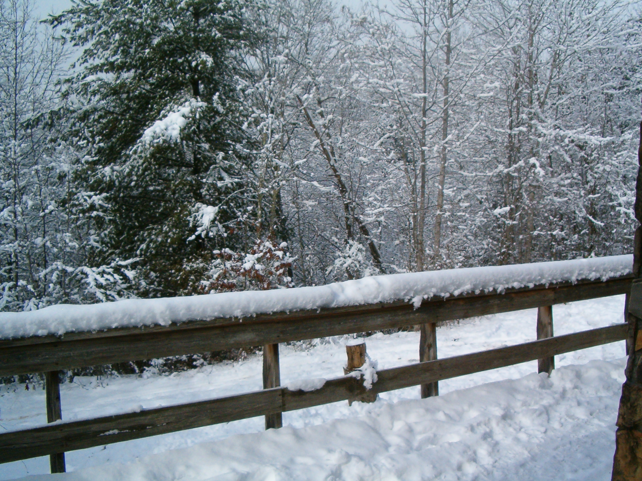
Historic Log Structures
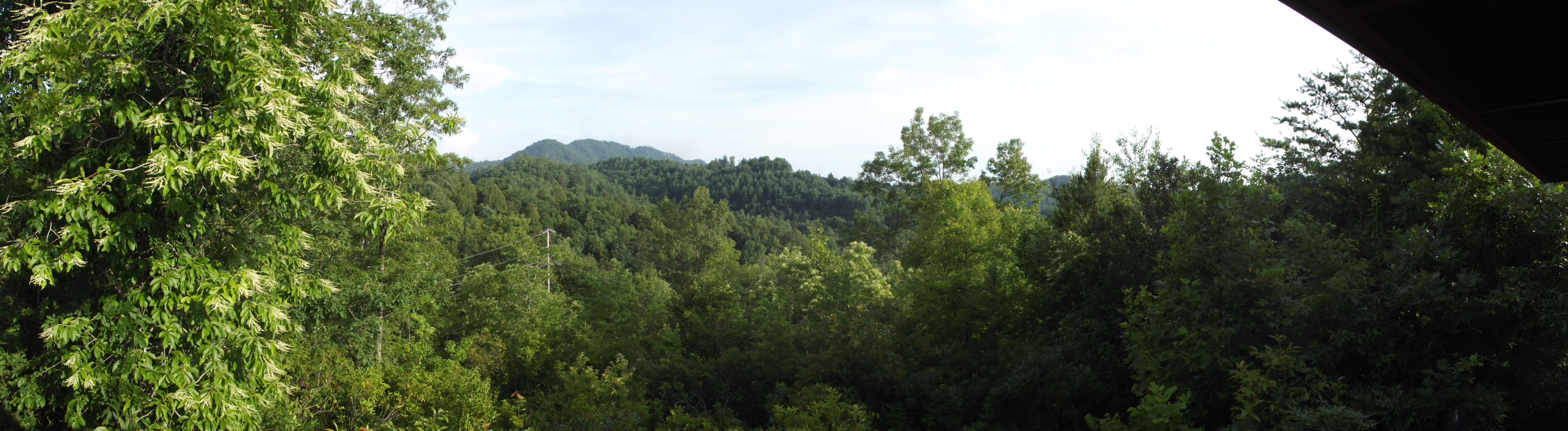
Hawkesdene House Barn Side View
Hawkesdene House View of another house

View of the building from the parking lot
PaulineFamily_20091126-114611

PaulineFamily_20091126-114642
PaulineFamily_20091126-114727
PaulineFamily_20091126-114738

PaulineFamily_20080705-165603
PaulineFamily_20080705-165636
PaulineFamily_20080705-165657

PaulineFamily_20080705-165718
PaulineFamily_20080705-165738

PaulineFamily_20080705-181518

PaulineFamily_20080705-181538
PaulineFamily_20080705-181557

Where the Paths Parted

Sassafras Falls in the #snowbird wilderness...couldn't find the trail so we hiked up the creek...a well earned view :) #brysoncityoutdoors #lifeoutside

A River's Twilight

PaulineFamily_20101226-114142
PaulineFamily_20101225-124850
PaulineFamily_20101225-124346

PaulineFamily_20101225-124326

PaulineFamily_20101225-124452
PaulineFamily_20101226-114208
PaulineFamily_20110701-185851

Graham County Railroad - Robbinsville scale track

Yearning for Spring

Graham County Railroad - Topton, North Carolina

Graham County Railroad - Nantahala valley
DSC_7305_ Cheoah Dam, NC, USA
On the Cherohala Skyway

On the Cherohala Skyway

Mystic Ridge in the Nantahala Gorge
Mystic Ridge in the Nantahala Gorge
Mystic Ridge in the Nantahala Gorge
On the Cherohala Skyway
Topographic Map of Bob Branch Rd, Andrews, NC, USA
Find elevation by address:

Places near Bob Branch Rd, Andrews, NC, USA:
516 Bob Branch Rd
240 Bob Branch Rd
Morgan Road
Bob Branch Road
Valleytown
340 Holland Farm Rd
Andrews
1194 Main St
84 Chestnut St
450 3rd St
24 4th St
225 Wilhide St
700 Main St
295 Aquone Rd
215 Bristol Ave
Tatham Street
172 Tucker White Hollow St
285 Tatham St
117 Whisenhunt Hill Rd
376 Bristol Ave
Recent Searches:
- Elevation of Corso Fratelli Cairoli, 35, Macerata MC, Italy
- Elevation of Tallevast Rd, Sarasota, FL, USA
- Elevation of 4th St E, Sonoma, CA, USA
- Elevation of Black Hollow Rd, Pennsdale, PA, USA
- Elevation of Oakland Ave, Williamsport, PA, USA
- Elevation of Pedrógão Grande, Portugal
- Elevation of Klee Dr, Martinsburg, WV, USA
- Elevation of Via Roma, Pieranica CR, Italy
- Elevation of Tavkvetili Mountain, Georgia
- Elevation of Hartfords Bluff Cir, Mt Pleasant, SC, USA