Elevation map of Bo-Karoo, South Africa
Location: South Africa > Northern Cape >
Longitude: 23.3823545
Latitude: -30.178696
Elevation: 1069m / 3507feet
Barometric Pressure: 89KPa
Elevation Map:
Satellite Map:
Related Photos:

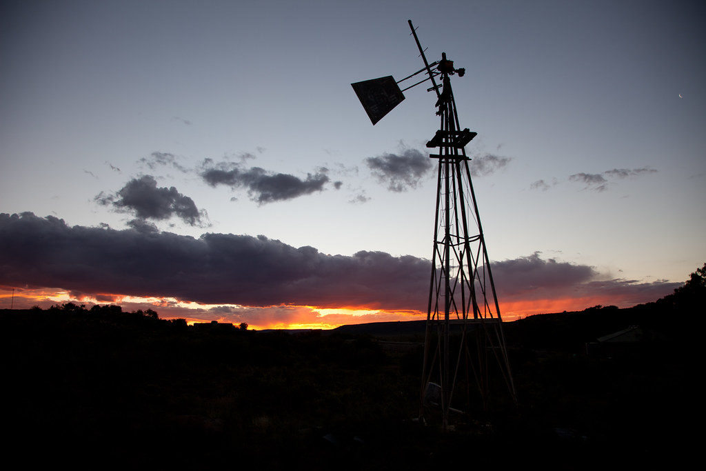
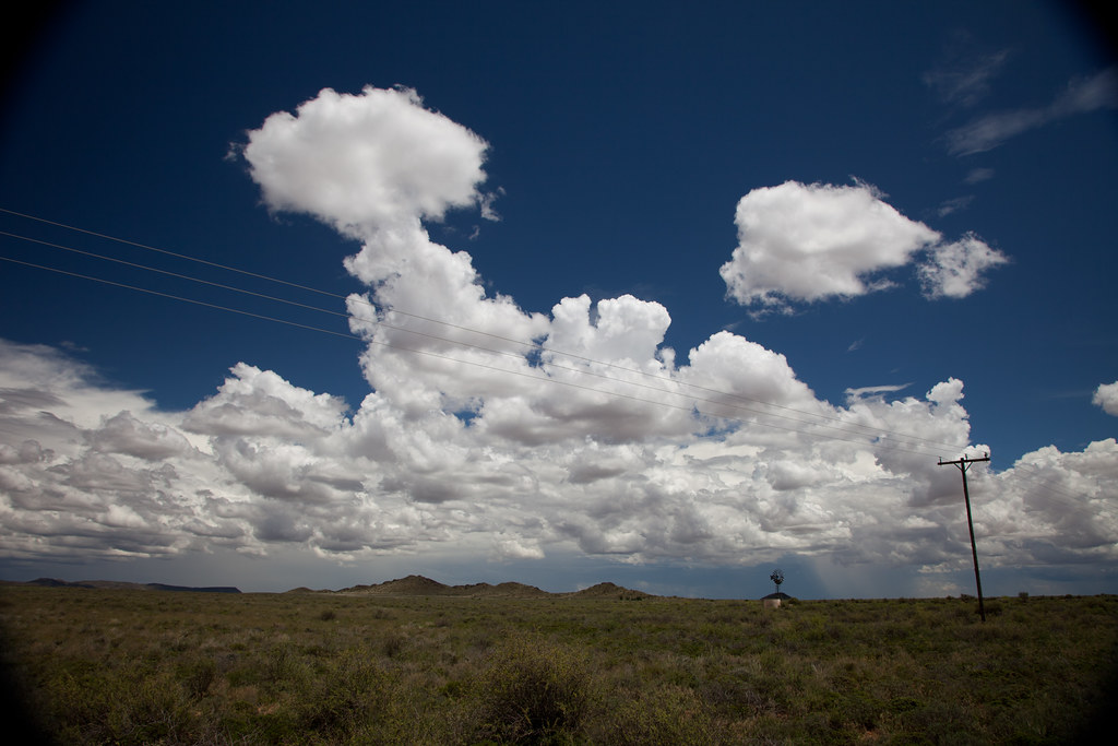
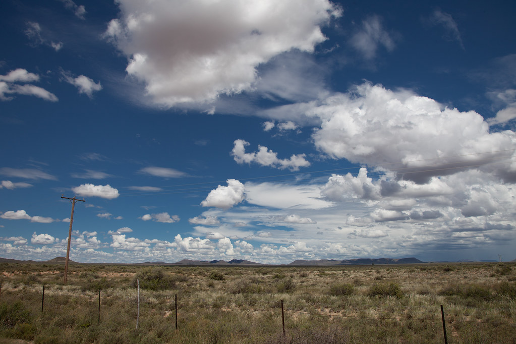
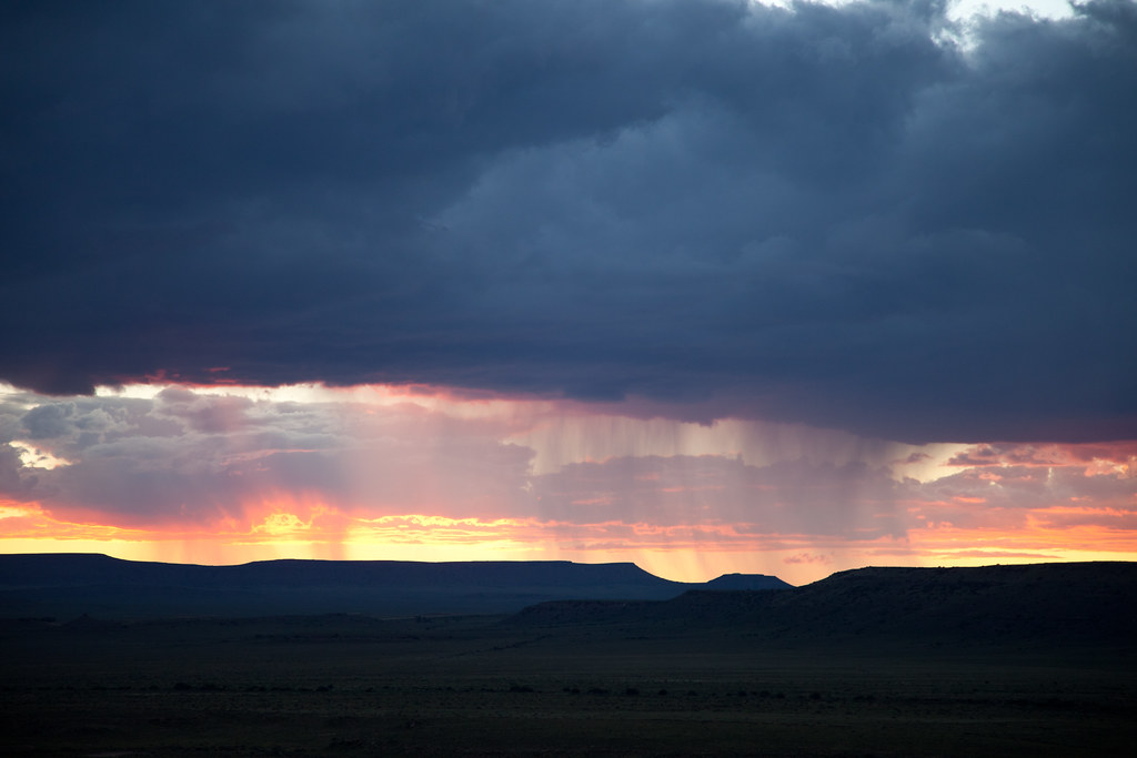
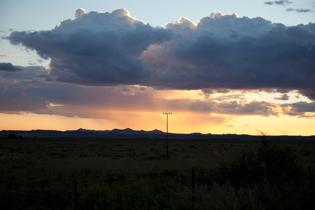
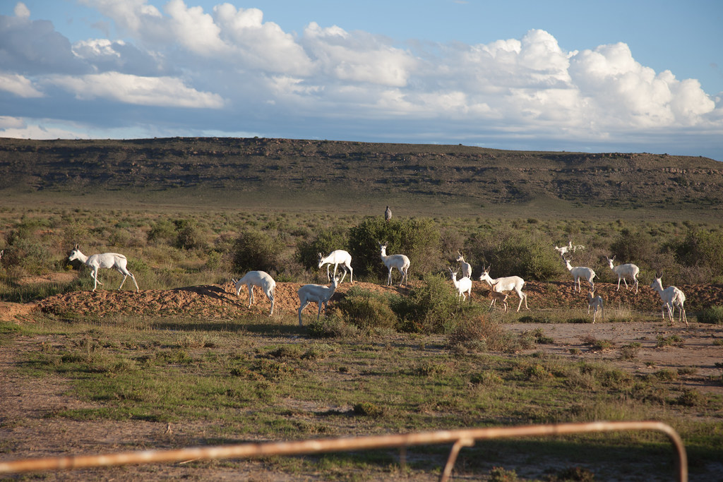
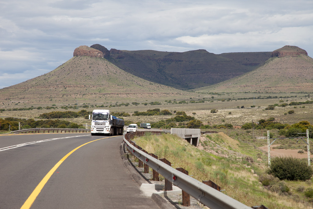
The Karoo to Cape Town

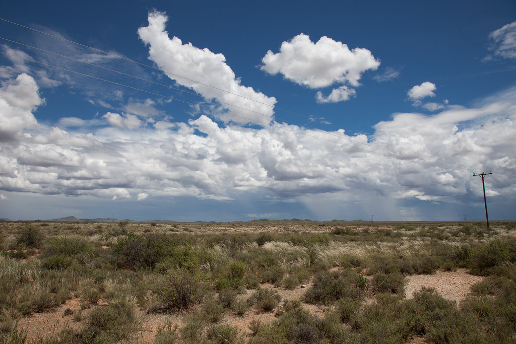
The Karoo to Cape Town

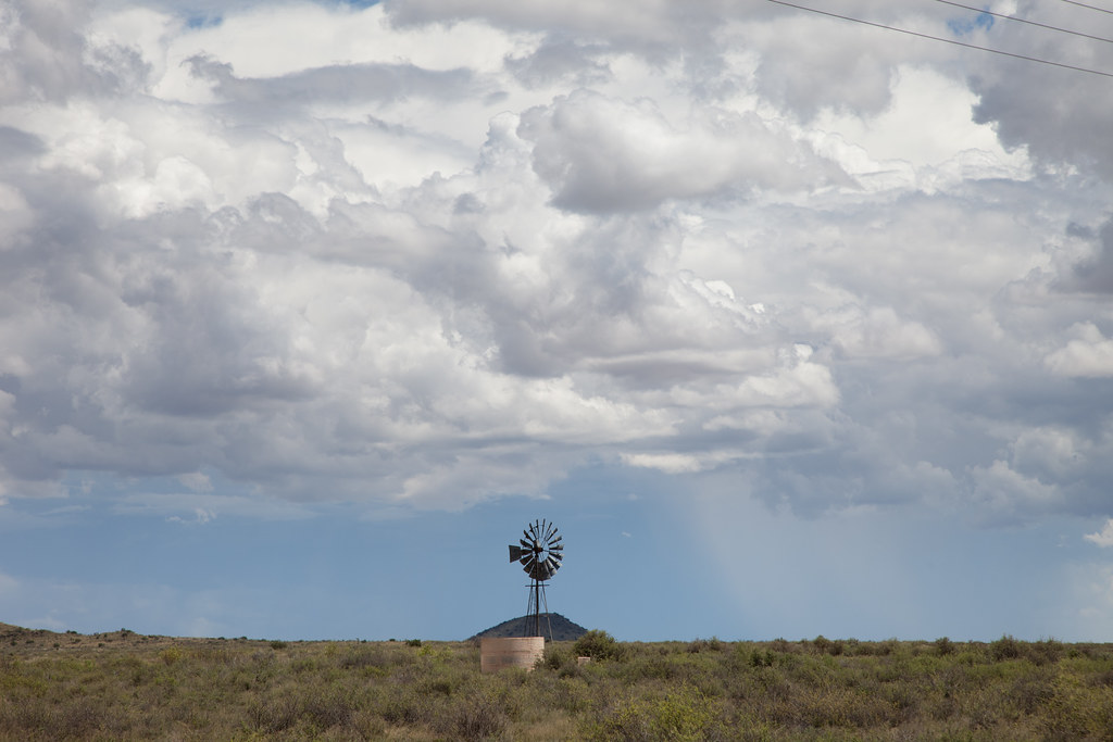
The Karoo to Cape Town
The Karoo to Cape Town
The Karoo to Cape Town

The Karoo to Cape Town

The Karoo to Cape Town
The Karoo to Cape Town
The Karoo to Cape Town
The Karoo to Cape Town
The Karoo to Cape Town

The Karoo to Cape Town

The Karoo to Cape Town

The Karoo to Cape Town
The Karoo to Cape Town

The Karoo to Cape Town
The Karoo to Cape Town
The Karoo to Cape Town
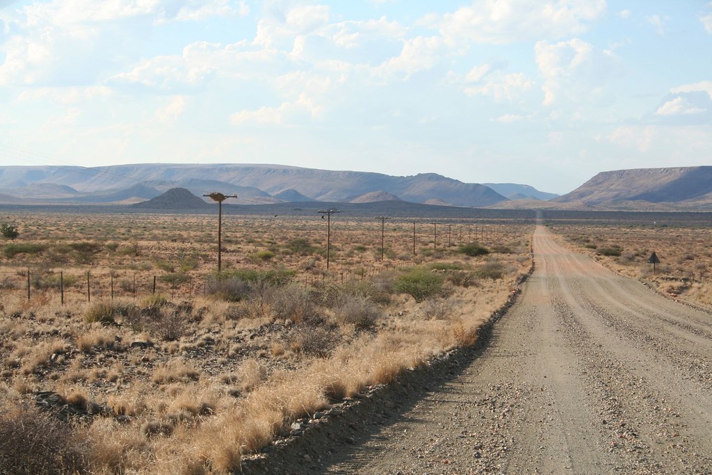
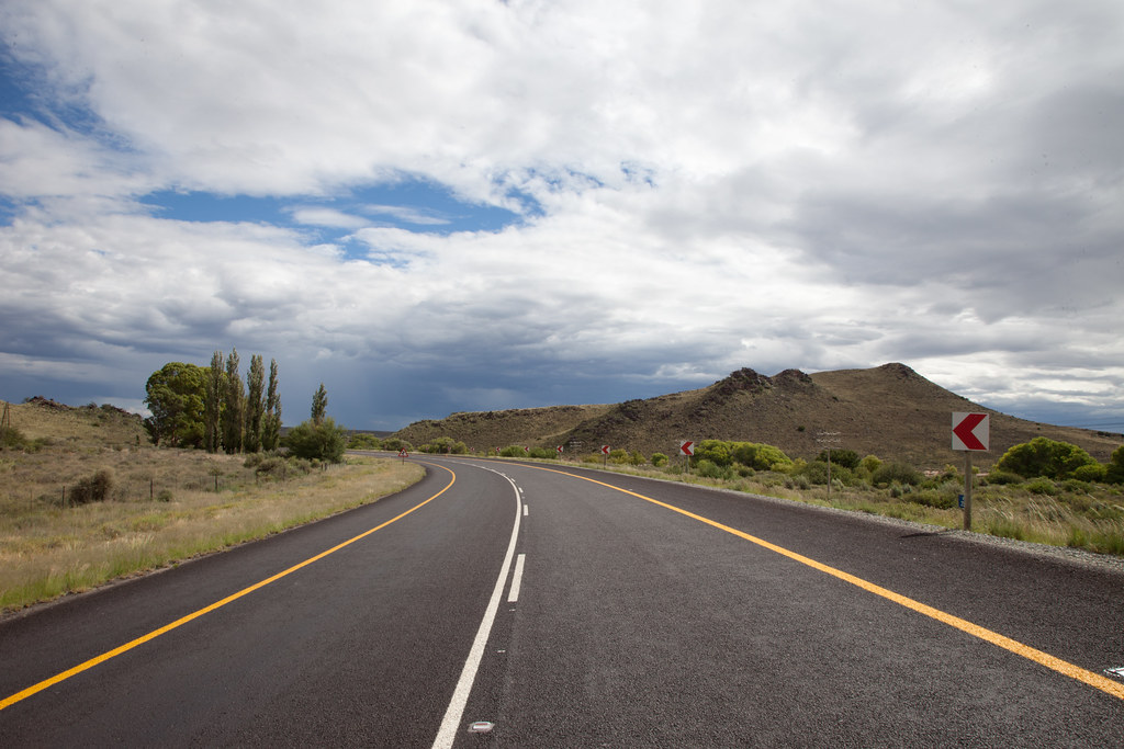
Dusty country road...

The Karoo to Cape Town
The Karoo to Cape Town
Topographic Map of Bo-Karoo, South Africa
Find elevation by address:

Places in Bo-Karoo, South Africa:
Places near Bo-Karoo, South Africa:
Recent Searches:
- Elevation of Corso Fratelli Cairoli, 35, Macerata MC, Italy
- Elevation of Tallevast Rd, Sarasota, FL, USA
- Elevation of 4th St E, Sonoma, CA, USA
- Elevation of Black Hollow Rd, Pennsdale, PA, USA
- Elevation of Oakland Ave, Williamsport, PA, USA
- Elevation of Pedrógão Grande, Portugal
- Elevation of Klee Dr, Martinsburg, WV, USA
- Elevation of Via Roma, Pieranica CR, Italy
- Elevation of Tavkvetili Mountain, Georgia
- Elevation of Hartfords Bluff Cir, Mt Pleasant, SC, USA