Elevation of Blythewood Rd, Blythewood, SC, USA
Location: United States > South Carolina > Richland County > Blythewood >
Longitude: -81.031845
Latitude: 34.188969
Elevation: -10000m / -32808feet
Barometric Pressure: 295KPa
Elevation Map:
Satellite Map:
Related Photos:

Bradford Lane
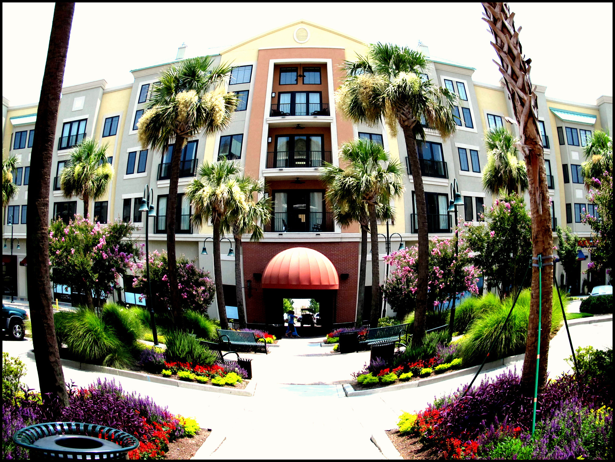
All in One - The Village at Sandhill (fisheye)

Pas de deux

Biscuit in the woods

Water Lotus Bed

Mindful of the Time
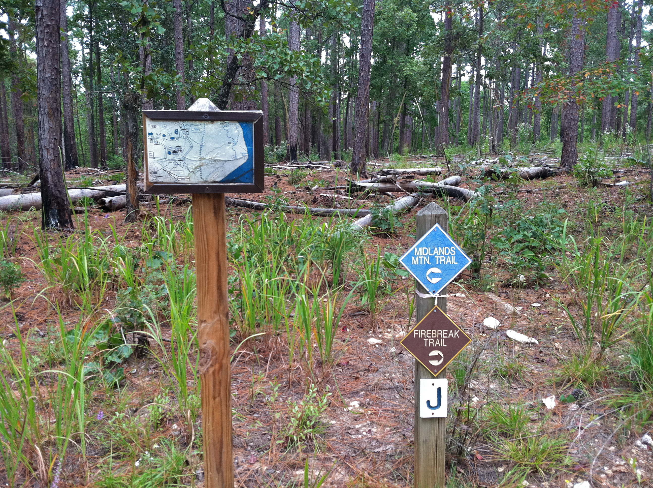
Closer Look at the Signs

Lake's Edge at Sunrise

214 Close Friends

Heavyladen Visitor

Riverland Hills Baptist Church

What a view

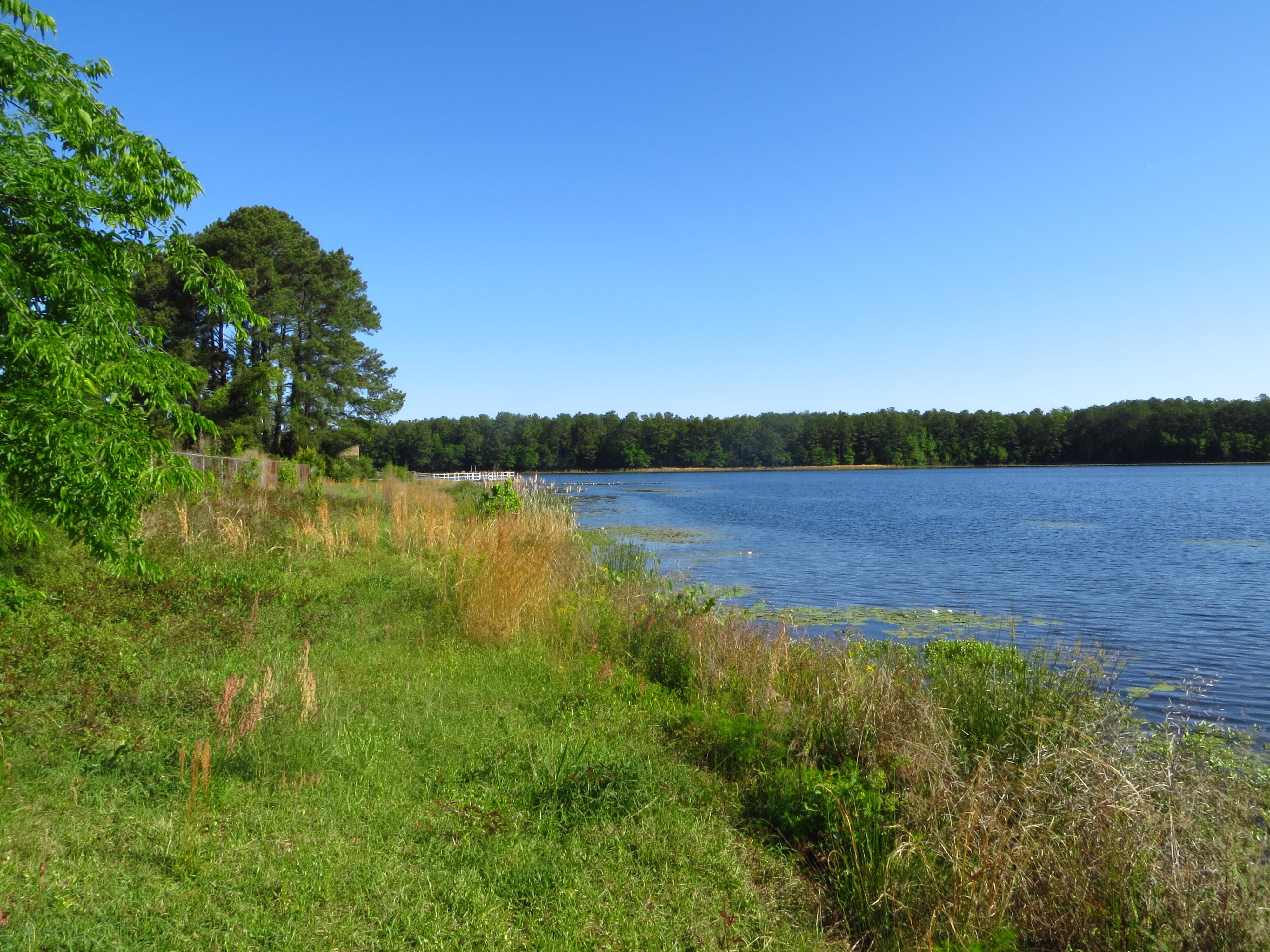
The Lake | EXPLORED

Windsor Shores Lake | EXPLORED

The Lake

I-77

Dawn of a New Era

Windsor Shores sunset | Welcome to the States!!! | EXPLORED

Colorful Day I

Summit Sunrise

Sunrise over the lilypads
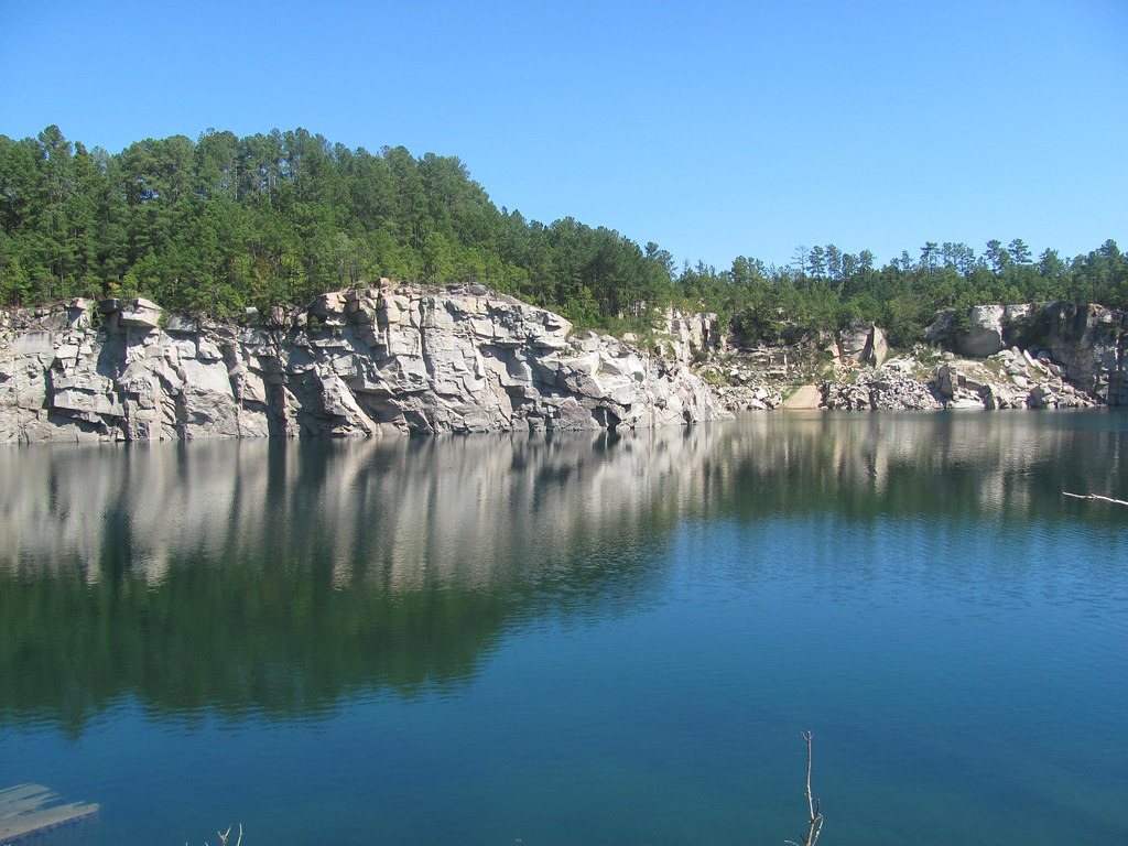
North Quarry 3

Nuevas orillas

Road Crossing Ahead

South Quarry 3
Morris Lake

South Quarry 4

Looking Back on Shoals

Last Road Crossing

Erosion to the Right

Rocks and Snags on the Broad
Topographic Map of Blythewood Rd, Blythewood, SC, USA
Find elevation by address:

Places near Blythewood Rd, Blythewood, SC, USA:
216 Surreywood Ln
110 Sterling Point Rd
1492 Fulmer Rd
10901 Wilson Blvd
Blythewood
Blythewood
8 Swallow Ct, Columbia, SC, USA
3773 Syrup Mill Rd
214 Camp Agape Rd
Killian Road
6 Roe Deer Ct
14 Ascot Ct
59 Harvest Moon Ct
2351 Longtown Rd E
155 Traditions Cir
303 Pinewood Cottage Ln
Freshwater Drive
Everett St, Columbia, SC, USA
248 Wild Olive Dr
252 Wild Olive Dr
Recent Searches:
- Elevation of Corso Fratelli Cairoli, 35, Macerata MC, Italy
- Elevation of Tallevast Rd, Sarasota, FL, USA
- Elevation of 4th St E, Sonoma, CA, USA
- Elevation of Black Hollow Rd, Pennsdale, PA, USA
- Elevation of Oakland Ave, Williamsport, PA, USA
- Elevation of Pedrógão Grande, Portugal
- Elevation of Klee Dr, Martinsburg, WV, USA
- Elevation of Via Roma, Pieranica CR, Italy
- Elevation of Tavkvetili Mountain, Georgia
- Elevation of Hartfords Bluff Cir, Mt Pleasant, SC, USA