Elevation of Bluewater, ON, Canada
Location: Canada > Ontario > Huron County >
Longitude: -81.6
Latitude: 43.483333
Elevation: 250m / 820feet
Barometric Pressure: 98KPa
Elevation Map:
Satellite Map:
Related Photos:
Scenic Haiku
For A Moment I Was Not Alone
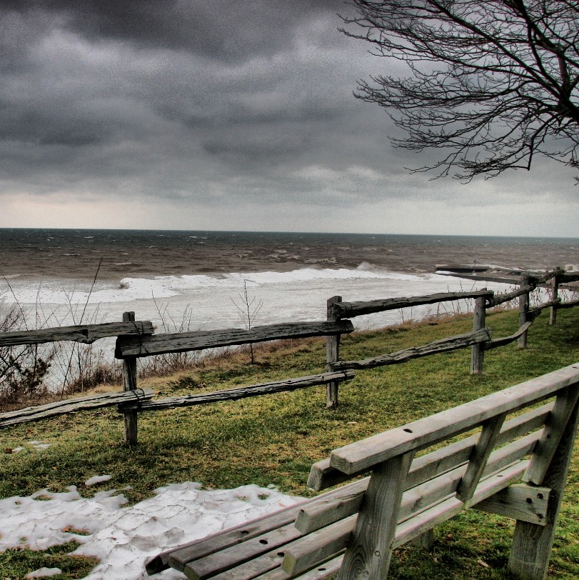
laweczka /bench
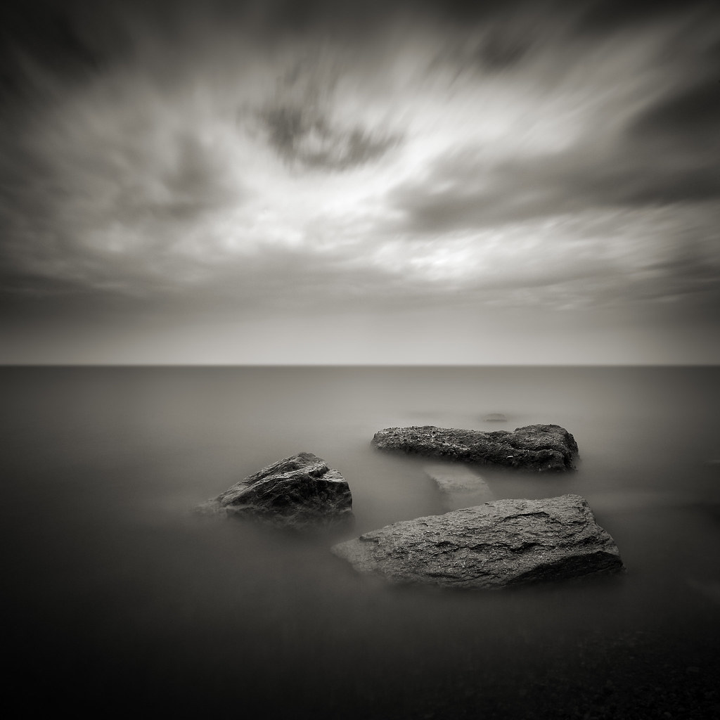
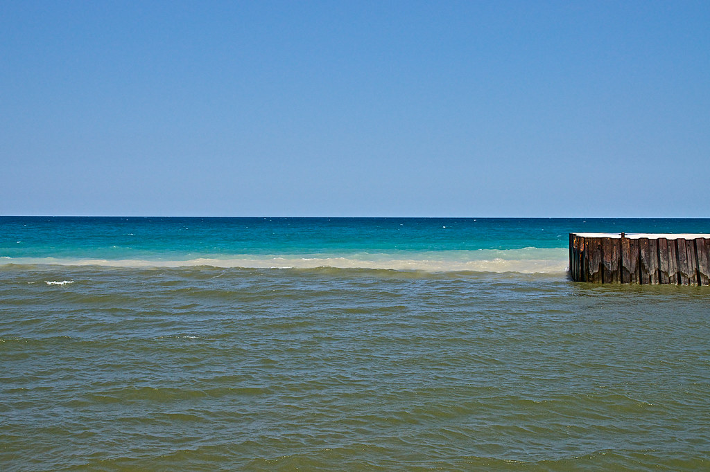
Steel Jetty
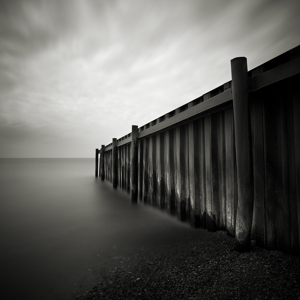
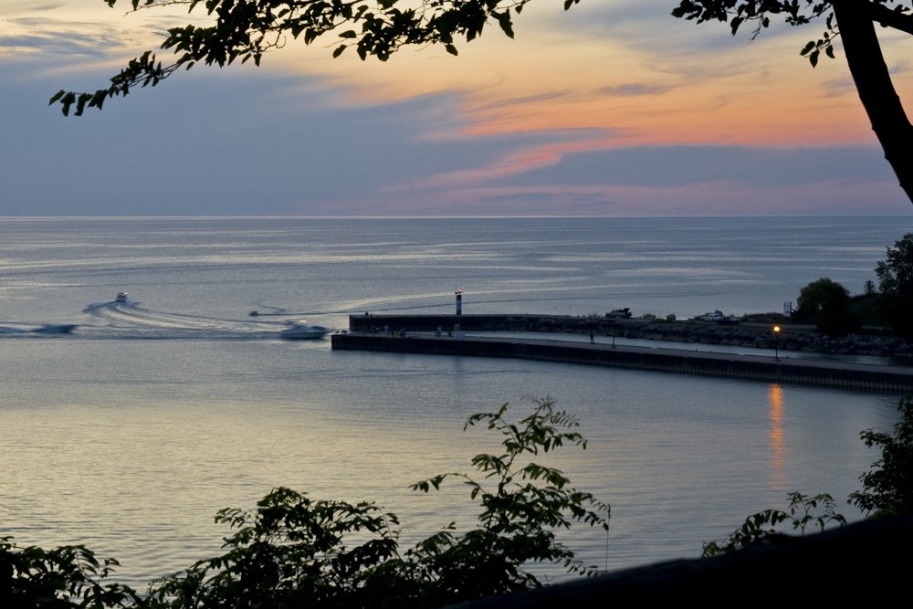
The Bayfield Harbour
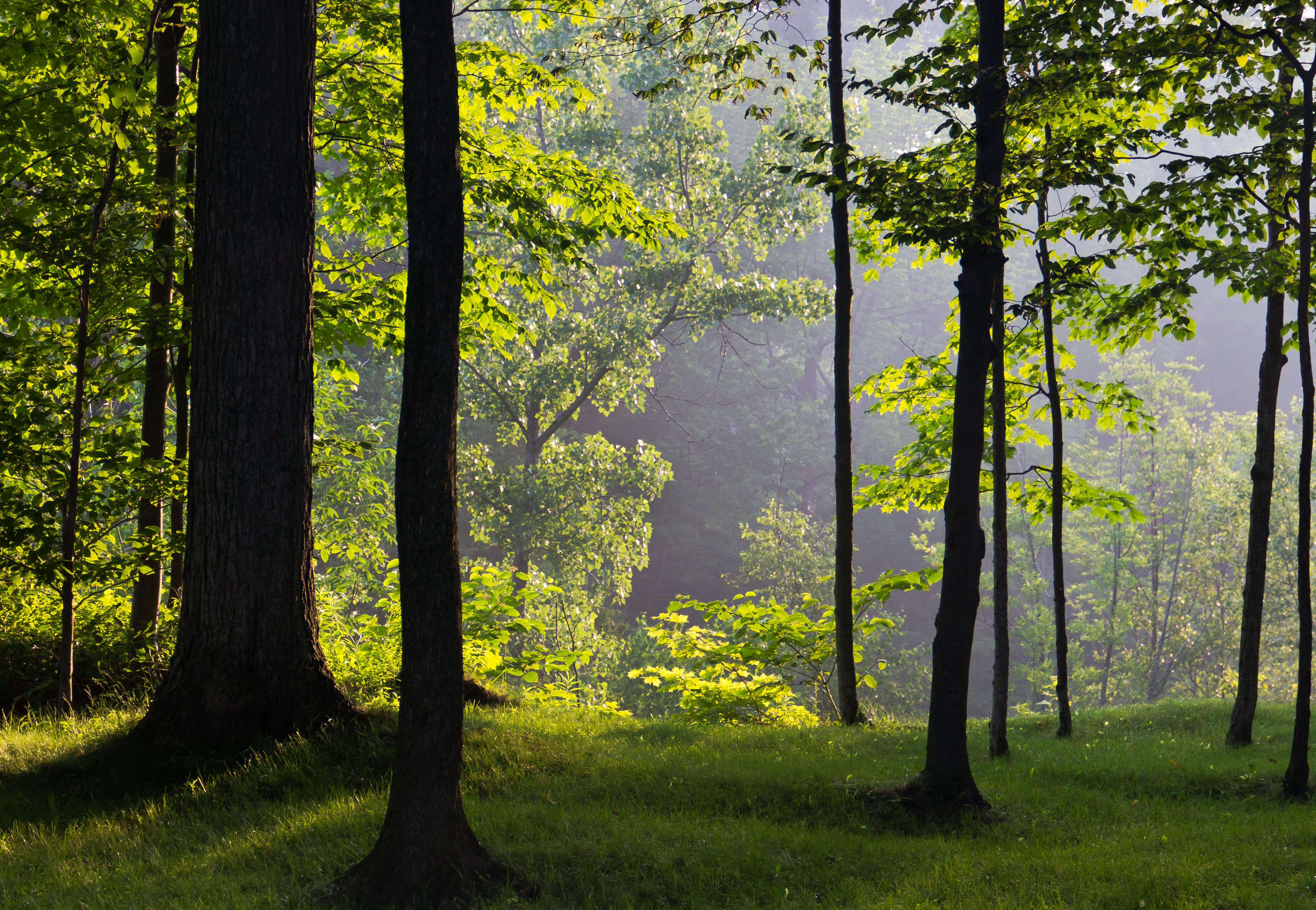
Early Morning Light

A Fungus Among Us
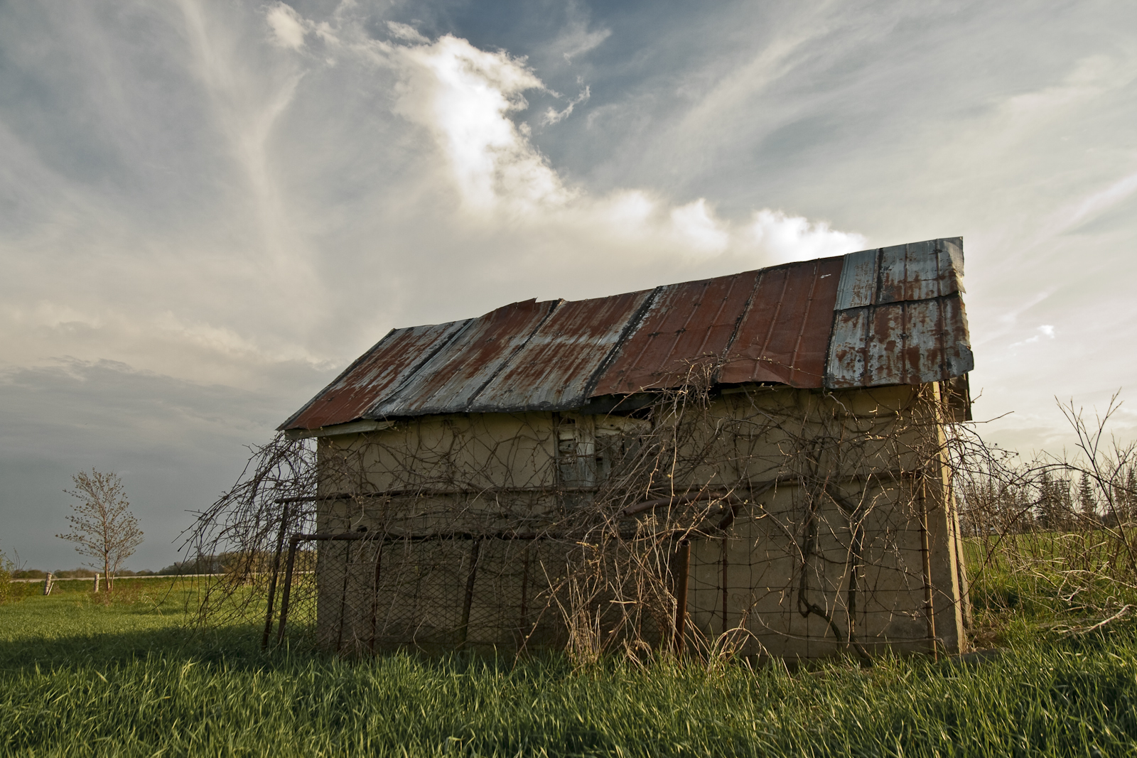
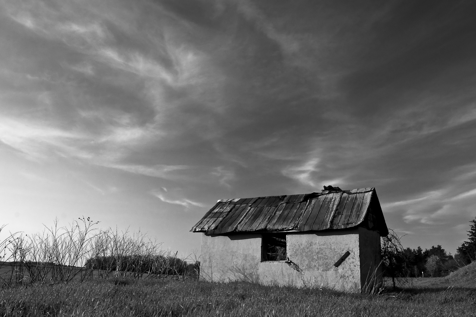
Abandoned Wellhouse
laweczka /bench
Wellhouse in Grey
Out Of The Estuary
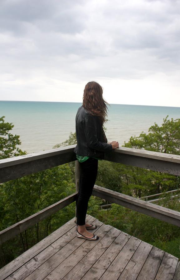
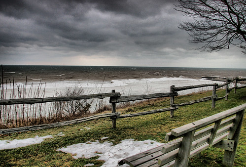
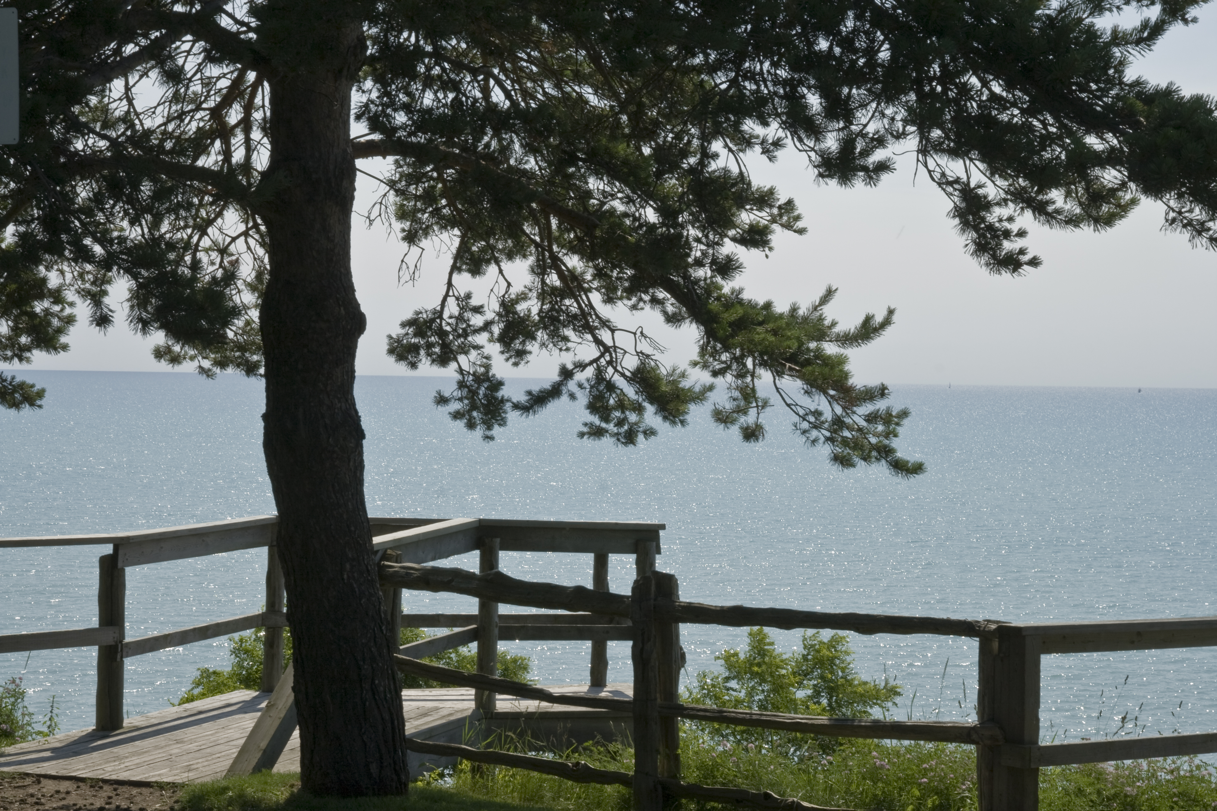
Lake Huron

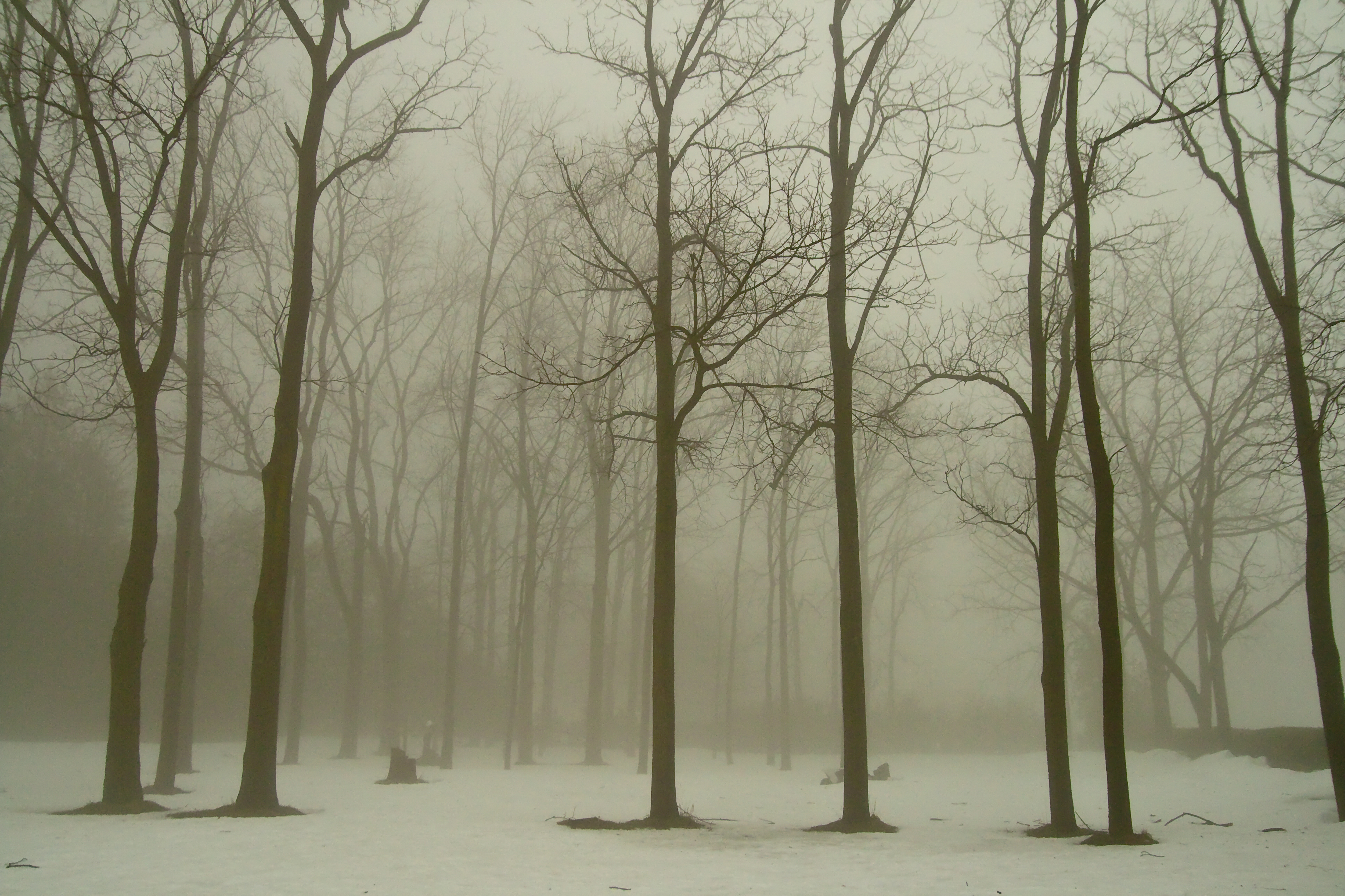
Maple Tree Budding

Empty Husk
Bayfield Harbour
Bayfield, Ontario
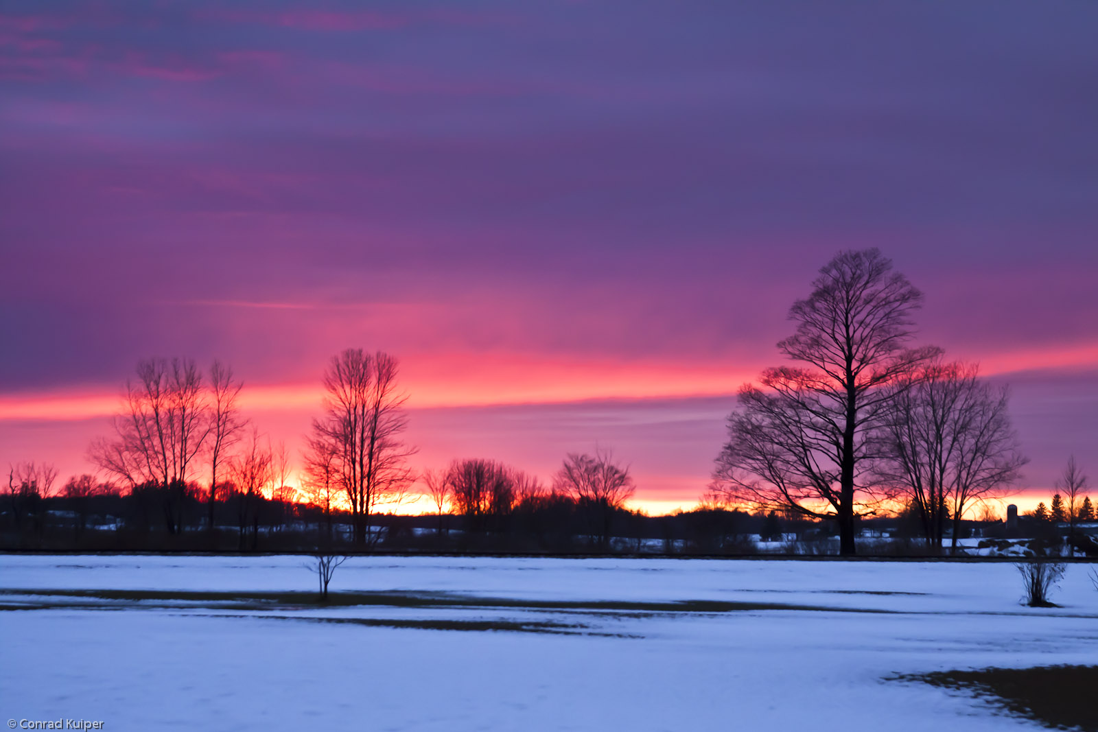
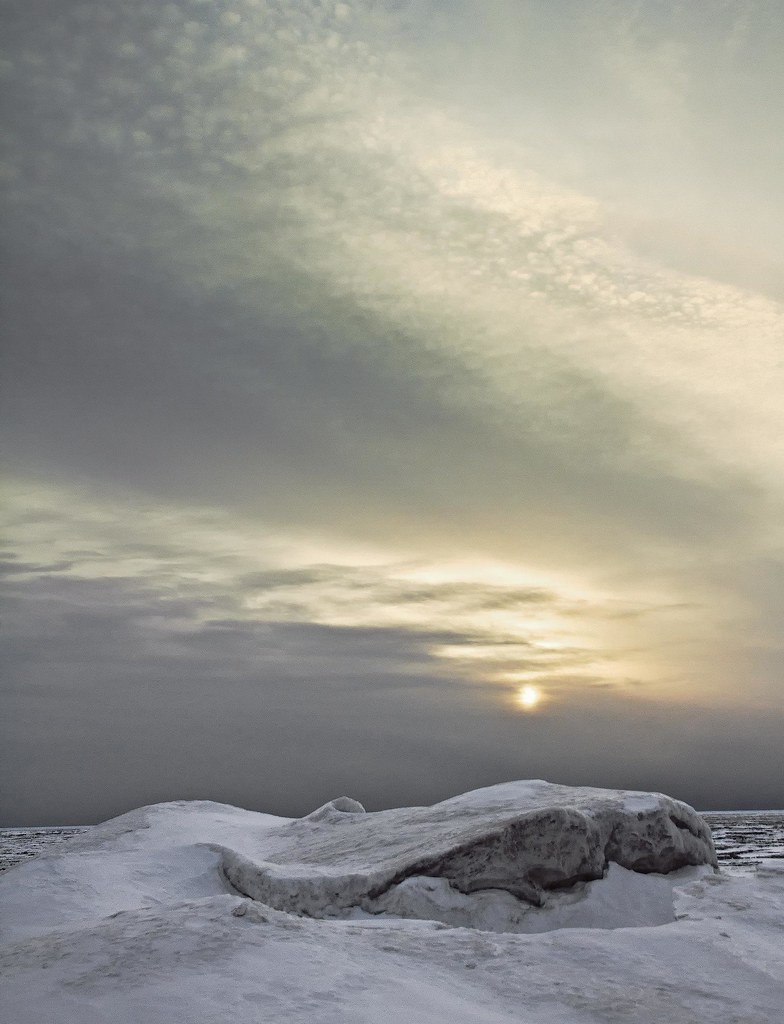
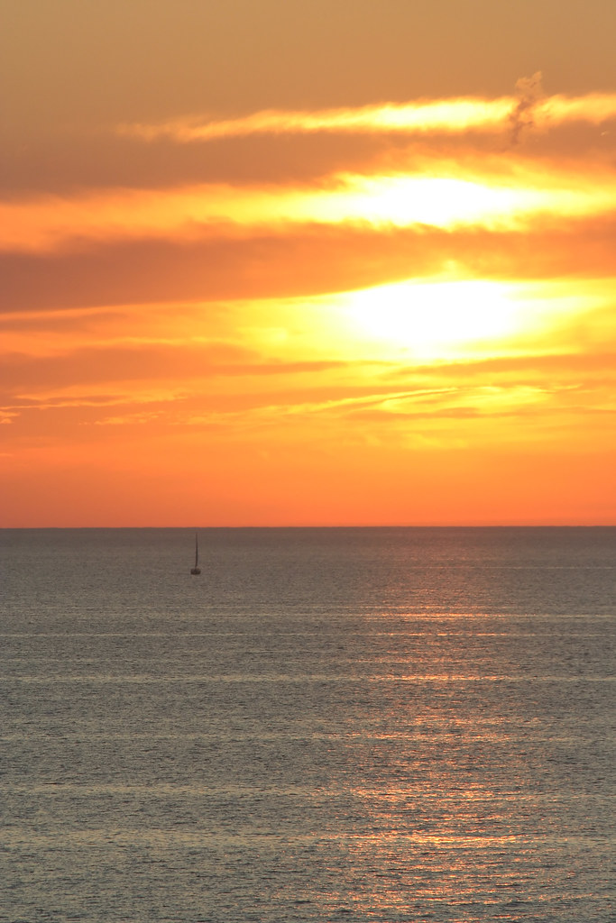
New Year's Day Sunset
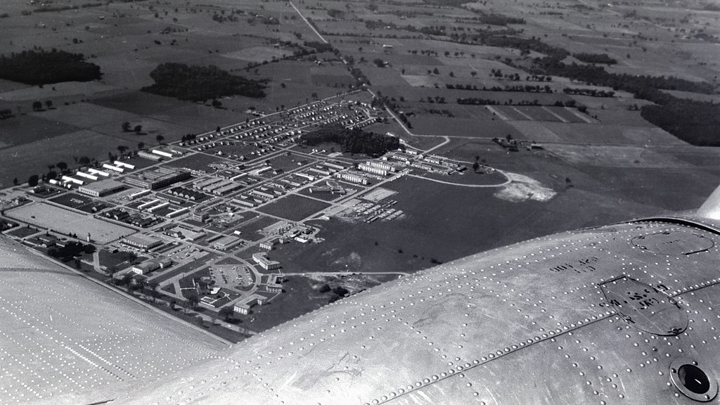
Clinton Ontario 1959 - aerial view of RCAF base from DC-3 out of Centralia.
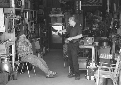
Junk Shop
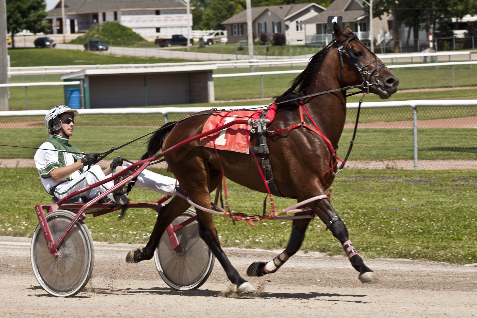
"Look at Me Go"
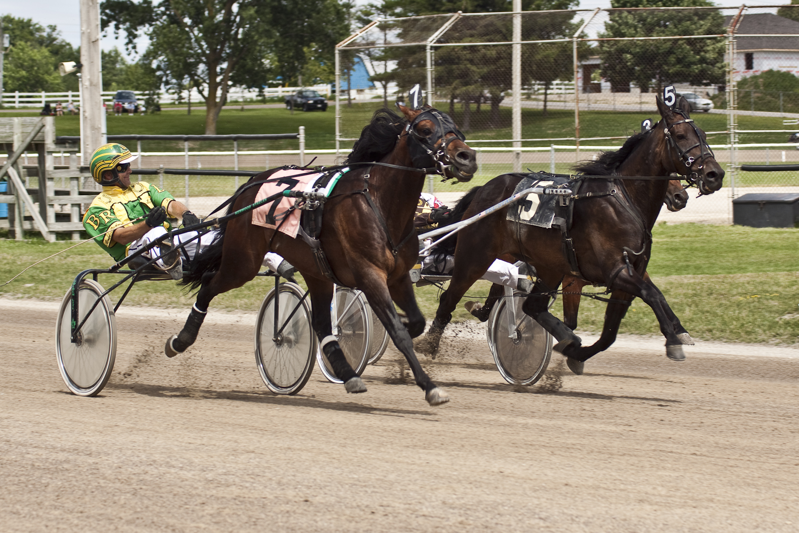
Neck and Neck
Bayfield – Snowbird

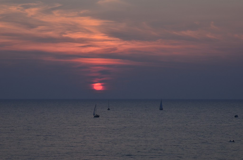
Bayfield Marina At Sunset

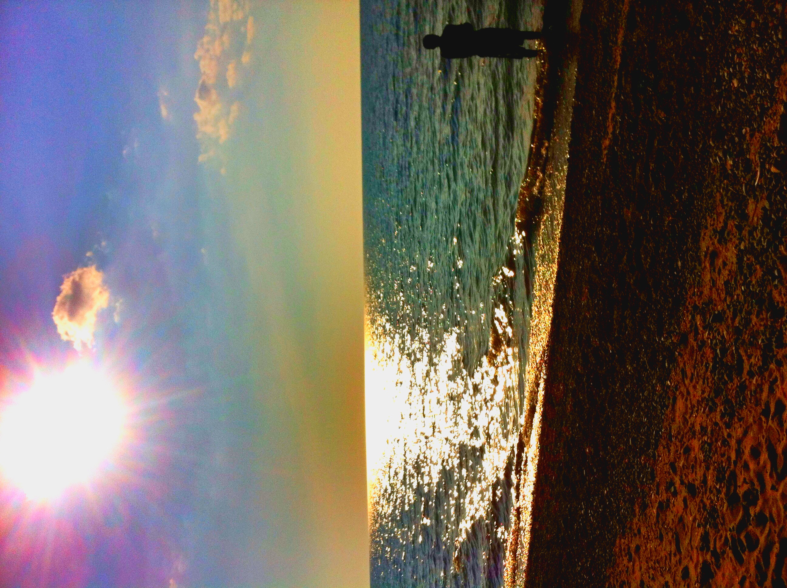
Bayfield Sunset - On The Rocks, Please
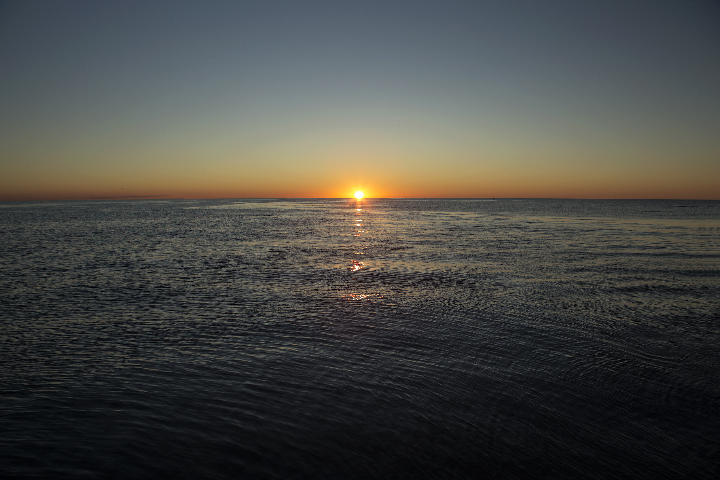
Bayfield Sunset
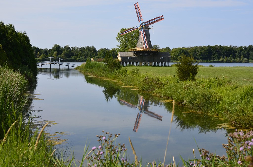
Windmill Lake & Eco Park, Bayfield, Ontario
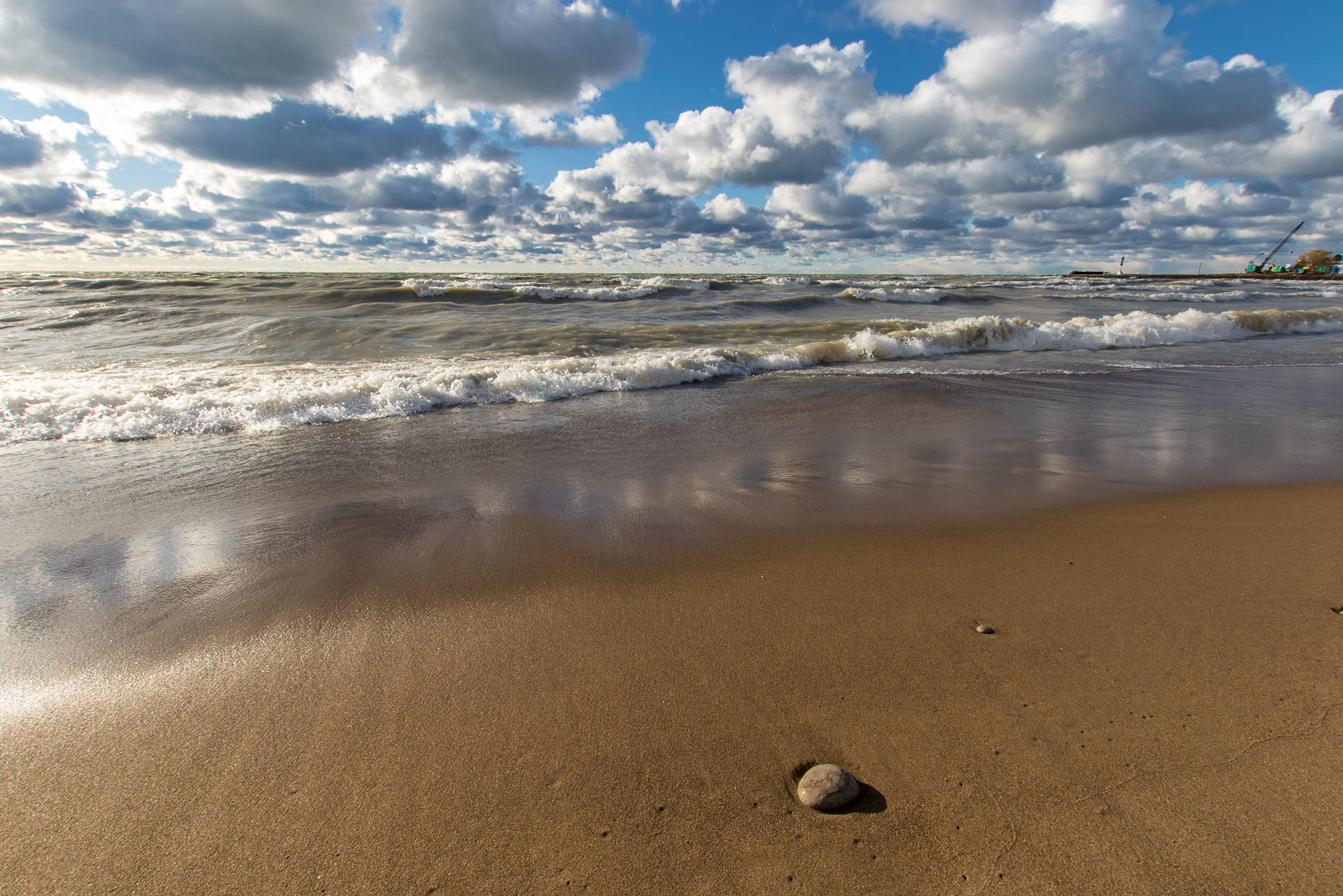
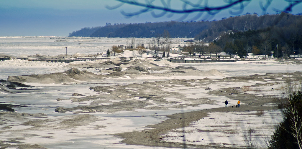
Sand, Water, Sky
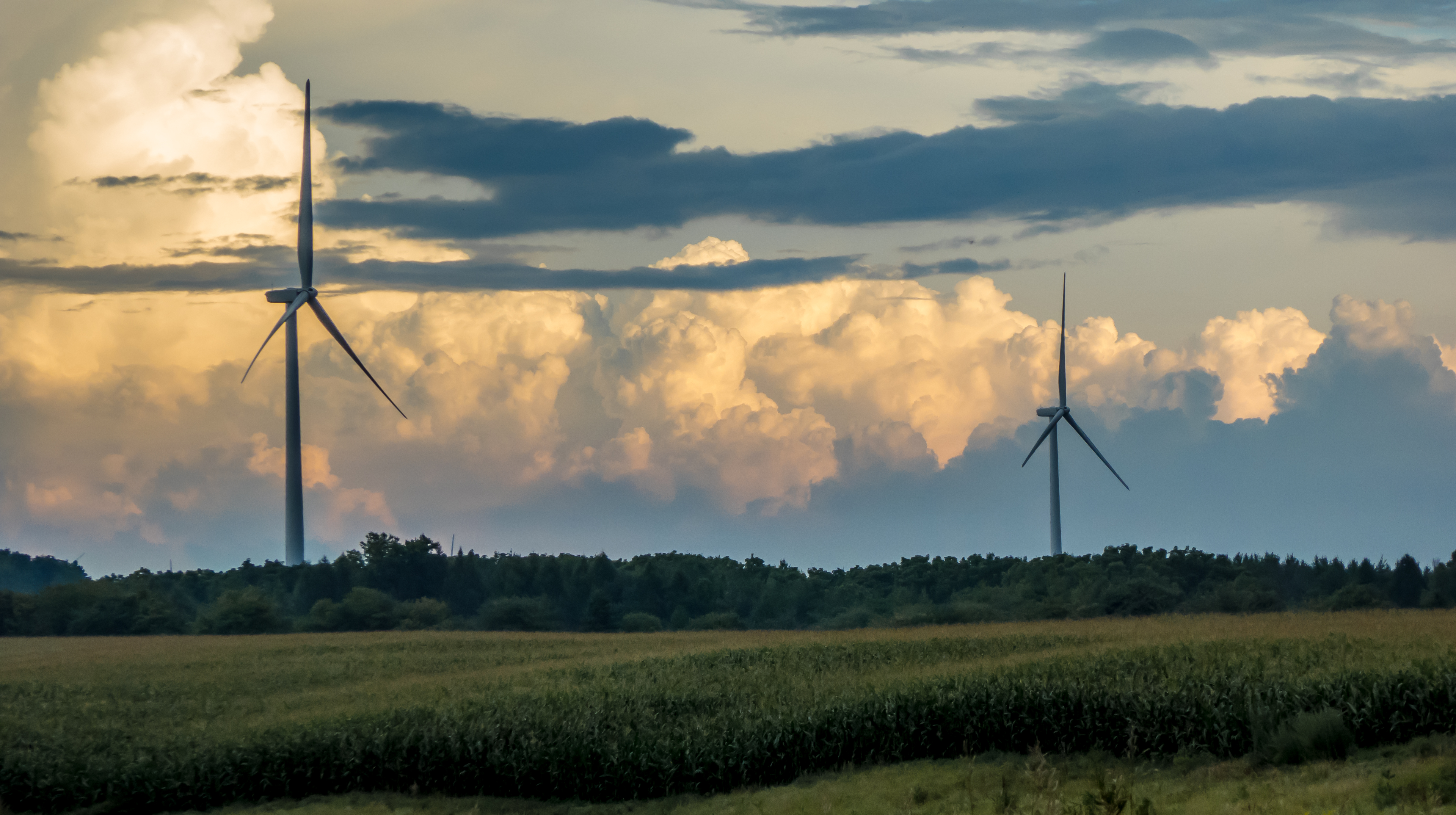
Stormy Turbines (Centennial Road)
Sunset Park, Bayfield, Ontario

Winter Wheat / Spring Sky
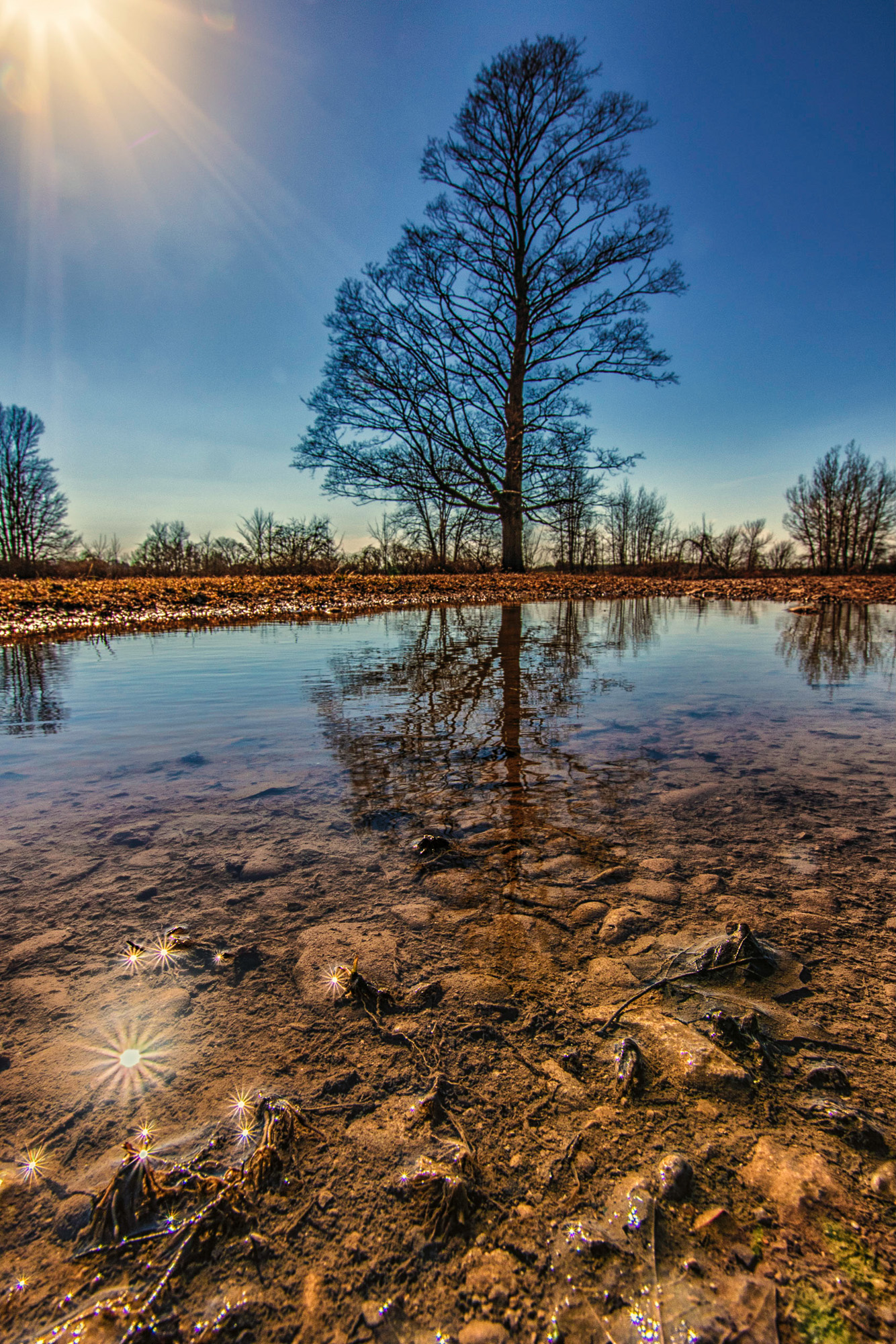
Sun...Maple...Puddle
CRW_5604.jpg
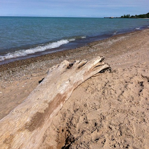
More beach, a bit farther north. #Bayfield
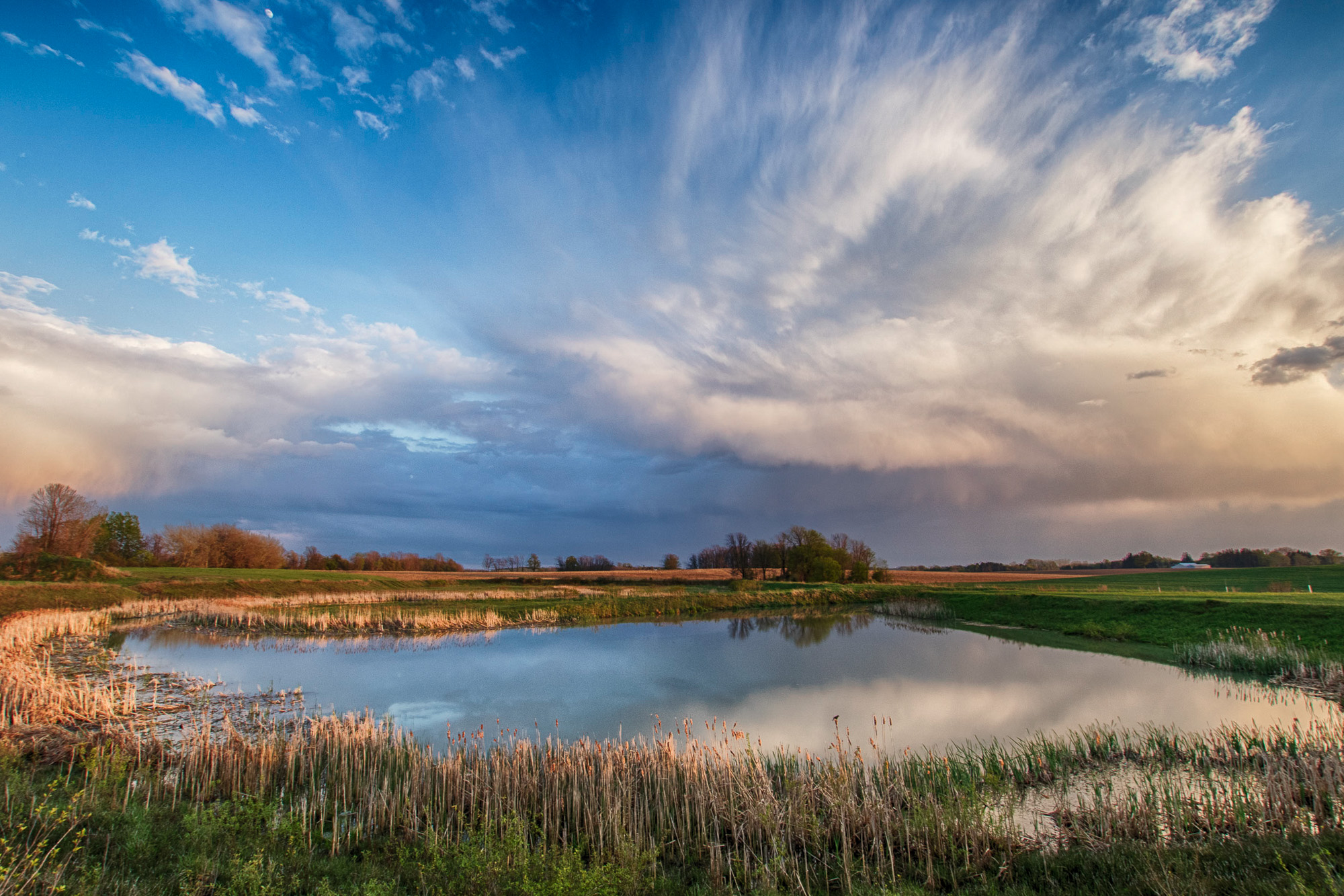
Pond and Sky
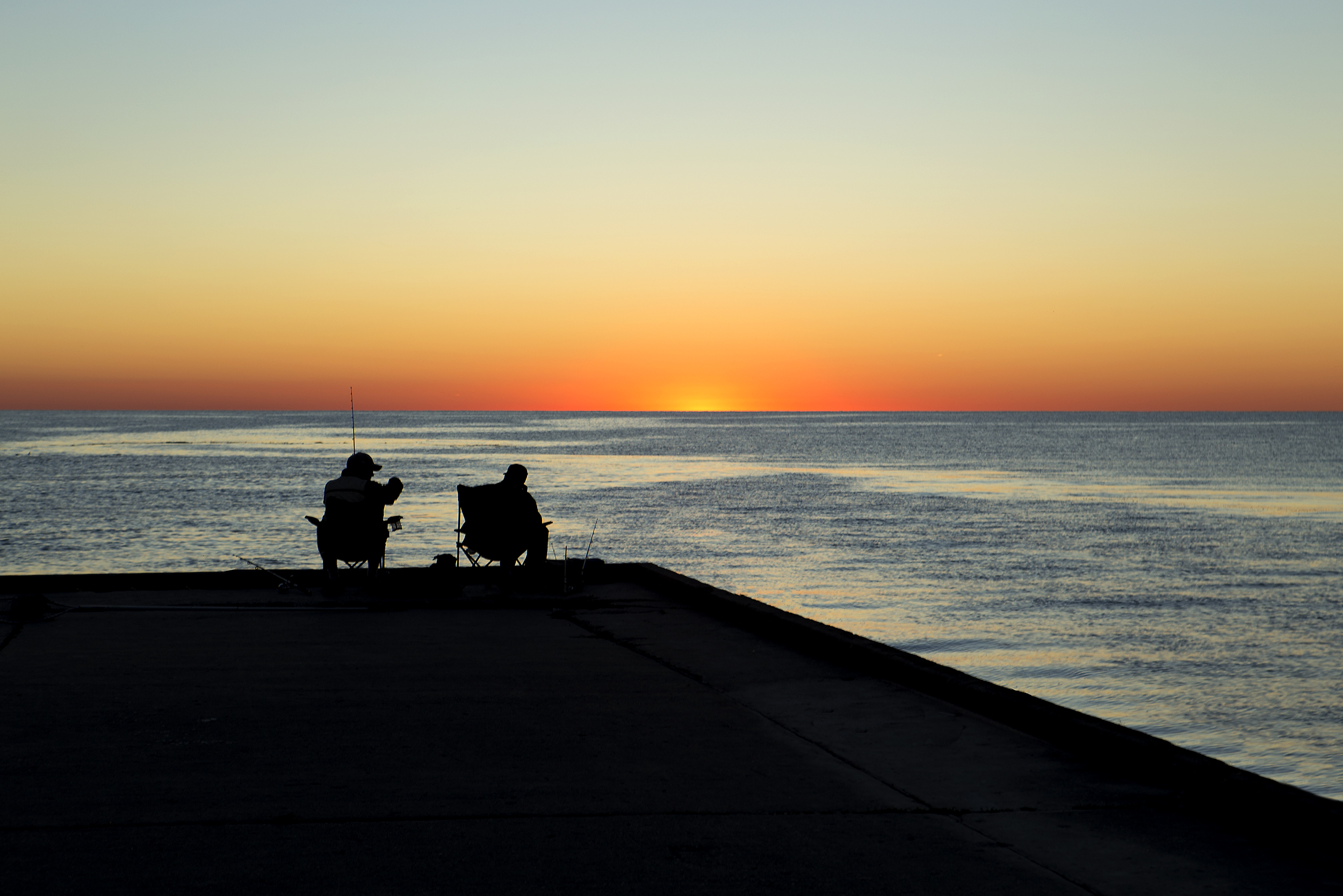
Bayfield sunset
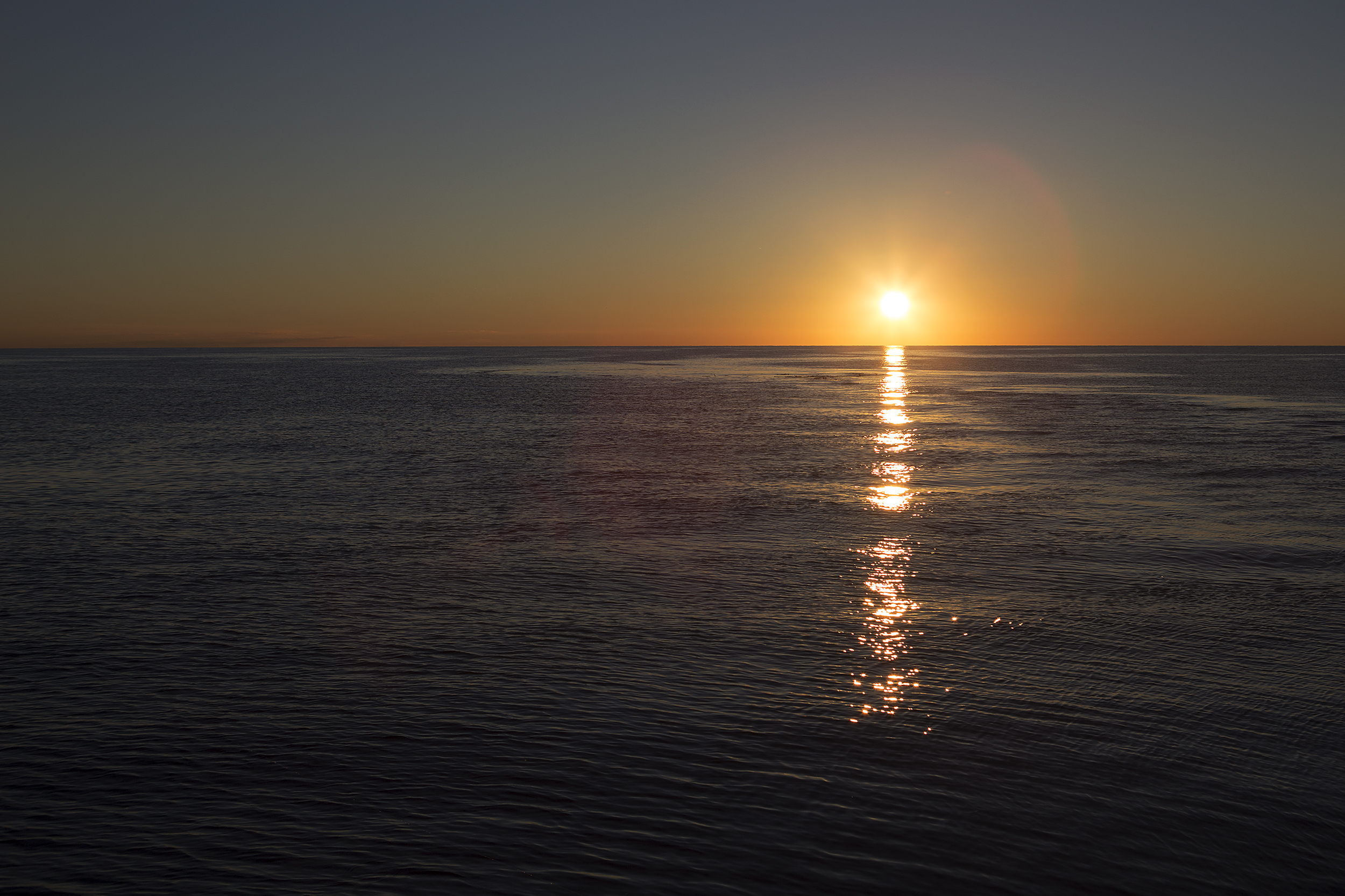
Bayfield Sunset
Bayfield Sunset
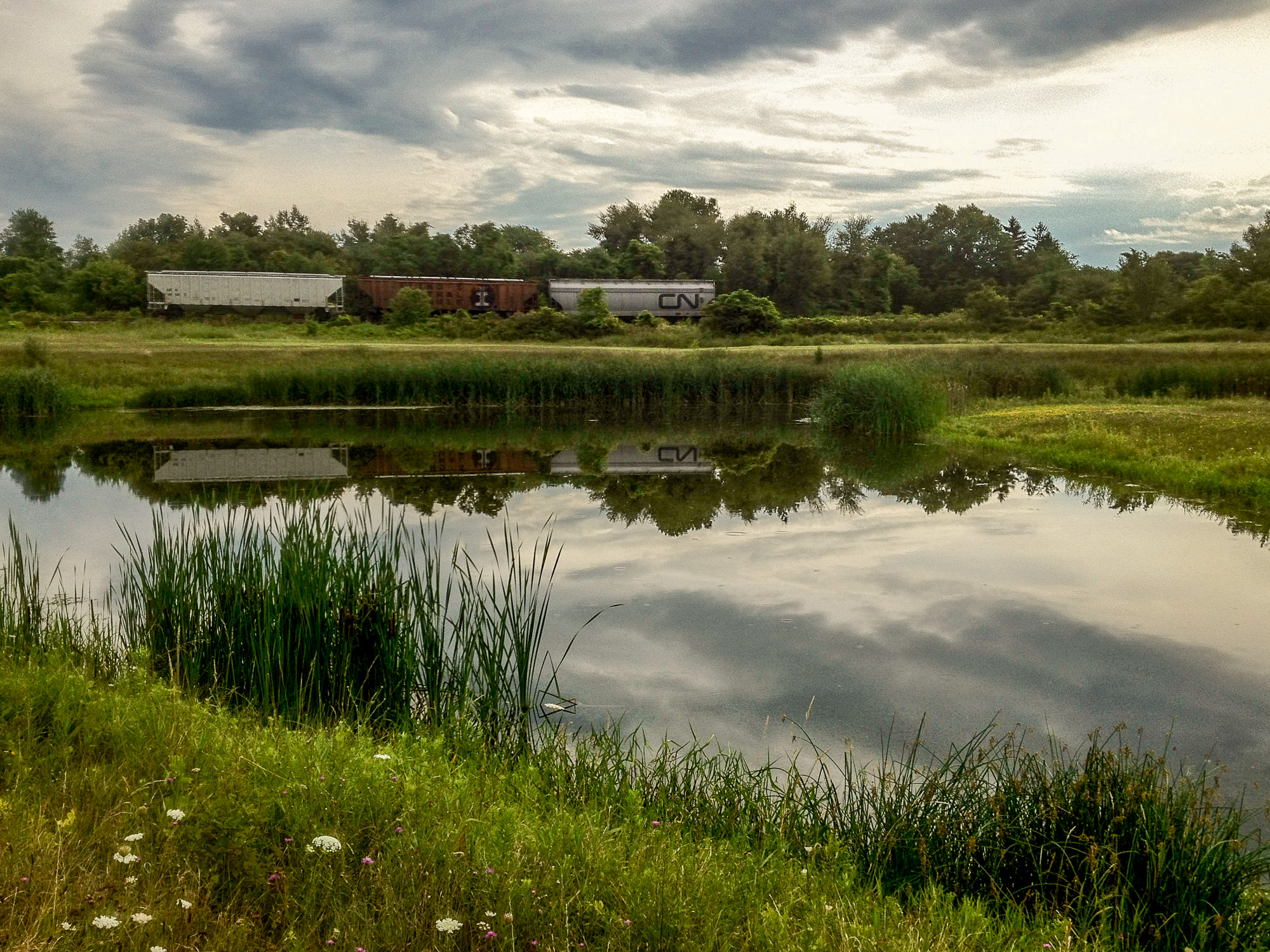
Train Cars by the Marsh

IMG_5607.jpg
Had a vision so I took it !!
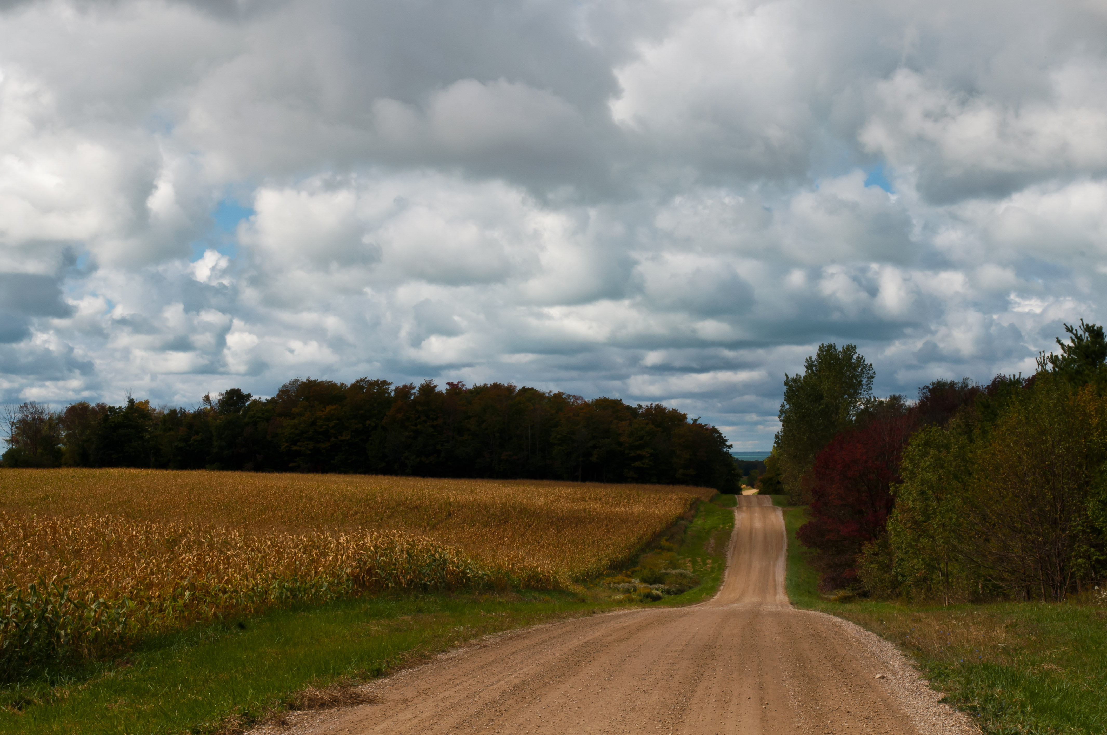
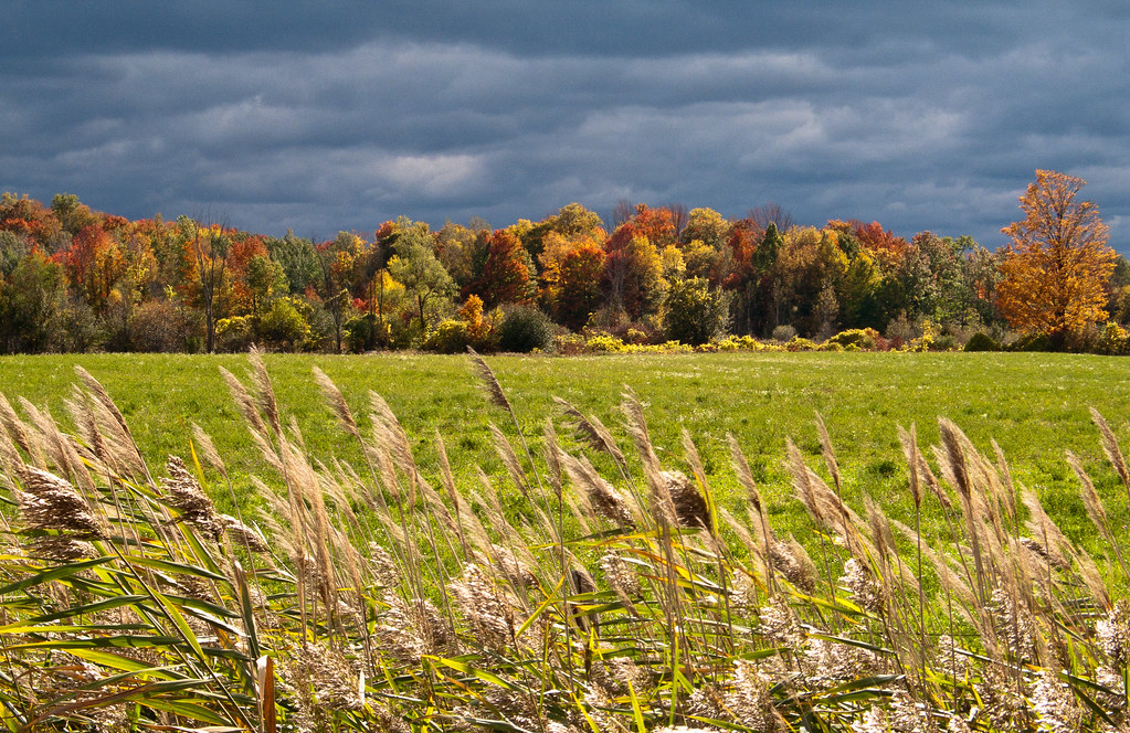
Fall on Centennial Road
Topographic Map of Bluewater, ON, Canada
Find elevation by address:

Places in Bluewater, ON, Canada:
Places near Bluewater, ON, Canada:
73859 Bronson Line
73859 Bronson Line
37799 Zurich Hensall Rd
5 William St
Bayfield
Shipka
Mount Carmel
Mt Carmel Dr, Dashwood, ON N0M 1N0, Canada
Grand Bend
Grand Bend Beach
9855 Wilbert St
Bullock Rd, Parkhill, ON N0M 2K0, Canada
Lieury
Grand Bend Rd, Parkhill, ON N0M 2K0, Canada
9839 Lakeshore Rd
Pinery Provincial Park
181 Emily St
258 Richmond St
Parkhill
8854 Timberwood Trail
Recent Searches:
- Elevation of Corso Fratelli Cairoli, 35, Macerata MC, Italy
- Elevation of Tallevast Rd, Sarasota, FL, USA
- Elevation of 4th St E, Sonoma, CA, USA
- Elevation of Black Hollow Rd, Pennsdale, PA, USA
- Elevation of Oakland Ave, Williamsport, PA, USA
- Elevation of Pedrógão Grande, Portugal
- Elevation of Klee Dr, Martinsburg, WV, USA
- Elevation of Via Roma, Pieranica CR, Italy
- Elevation of Tavkvetili Mountain, Georgia
- Elevation of Hartfords Bluff Cir, Mt Pleasant, SC, USA