Elevation of Blue Gill Ln, El Reno, OK, USA
Location: United States > Oklahoma > Canadian County > El Reno >
Longitude: -97.87355
Latitude: 35.589036
Elevation: 407m / 1335feet
Barometric Pressure: 97KPa
Elevation Map:
Satellite Map:
Related Photos:

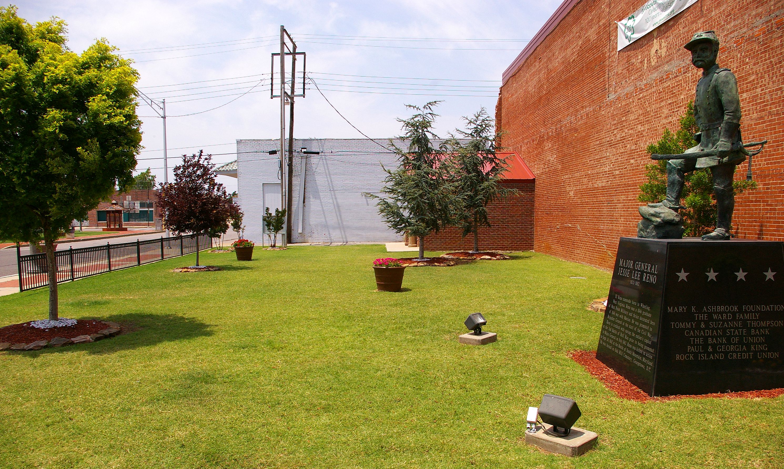
Major General Jesse Lee Reno

View From "The Pool"
Youngheim's Plaza, El Reno, Oklahoma

Major General Jesse Lee Reno
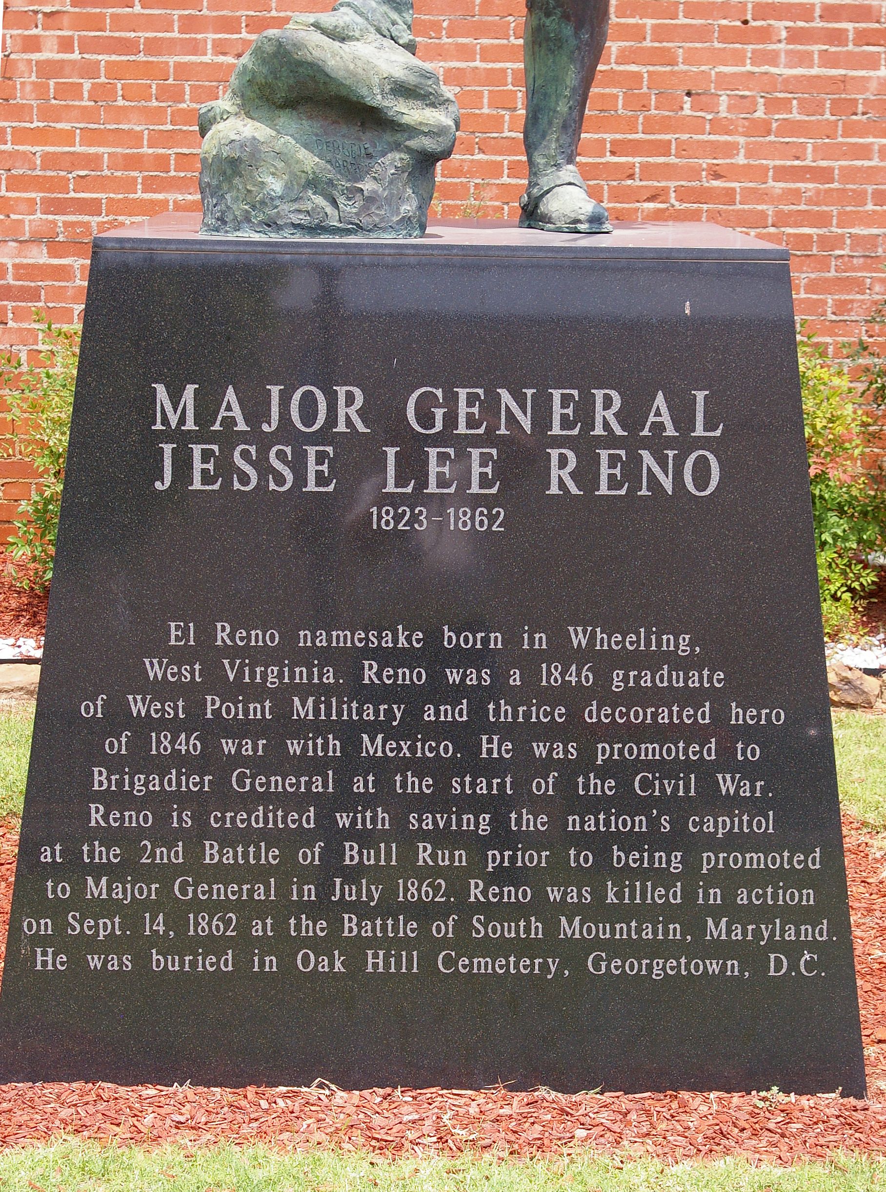
Major General Jesse Lee Reno

Highway 3 / Highway 4

An Office With A View

The Colorful Door_MG_3969

More Relaxed
*Insert Train Here*
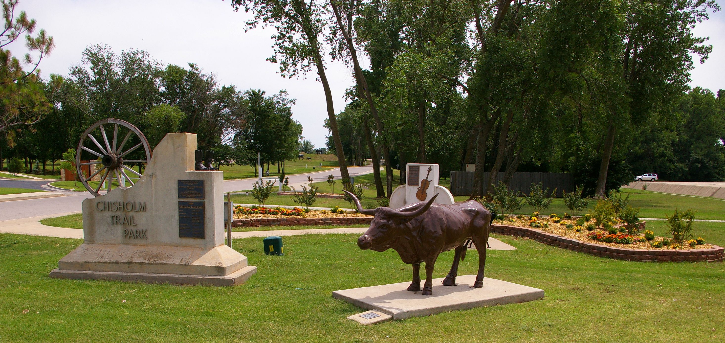
Chisholm Trail Park, Yukon, Oklahoma
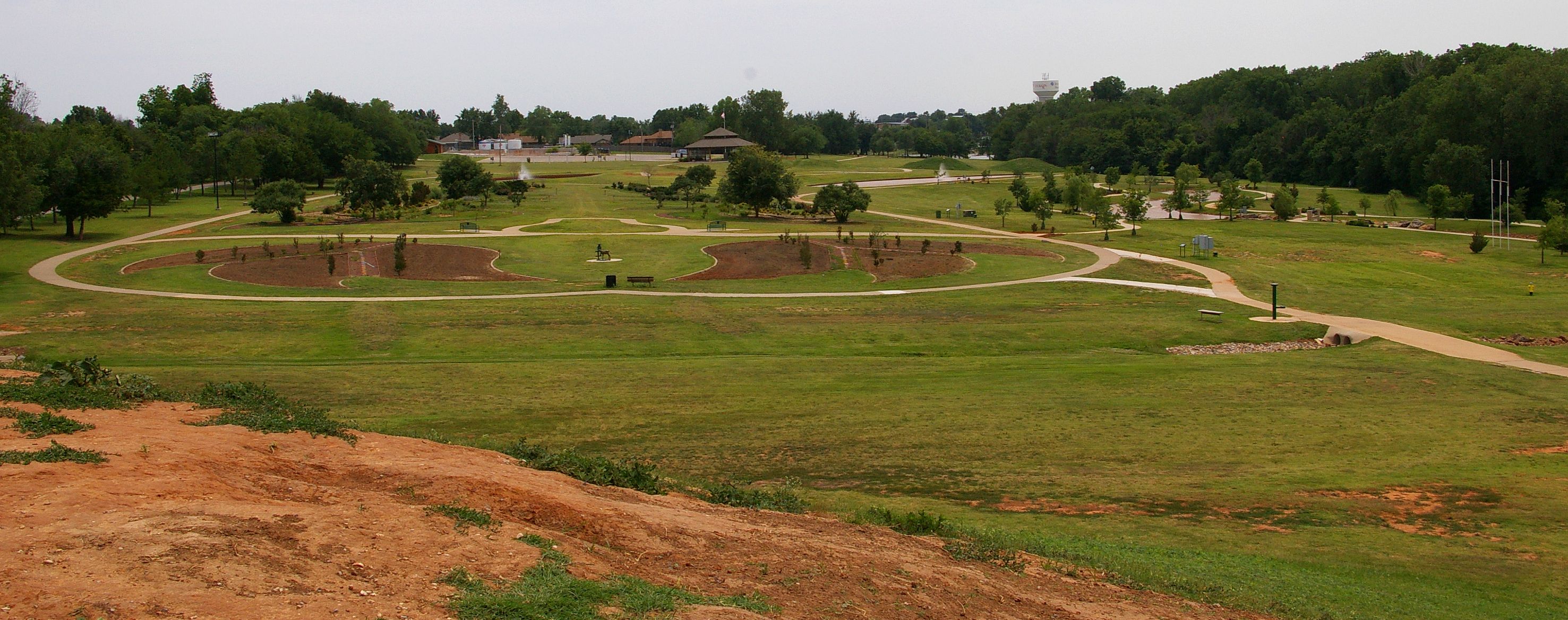
Mound Trail, Kathryn (Kroutil) Wright Chisholm Trail Park, Yukon, Oklahoma
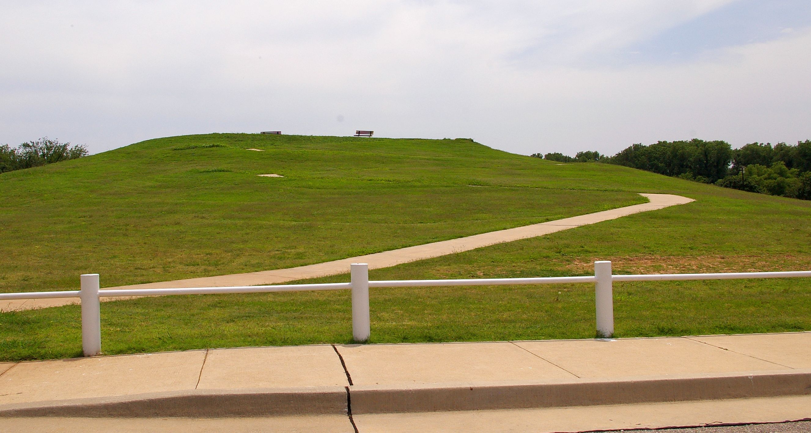
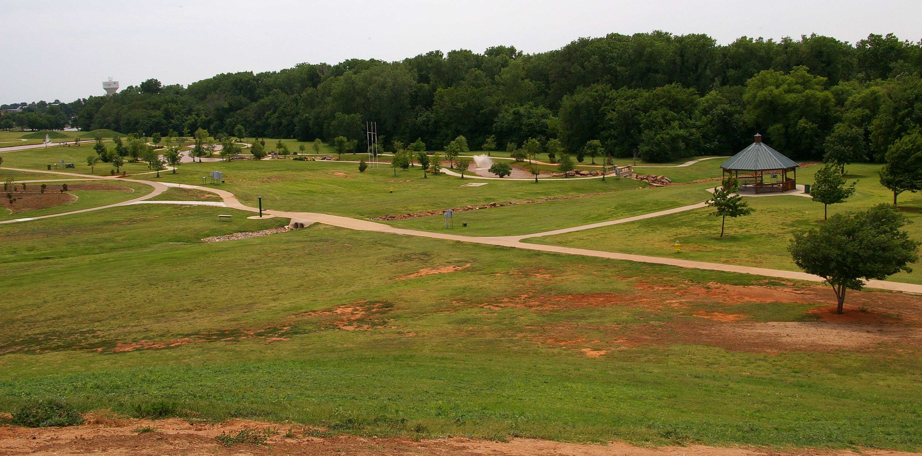
View From the Mound, Chisholm Trail Park, Yukon, Oklahoma

Major General Jesse Lee Reno

Supercell viewed from the North
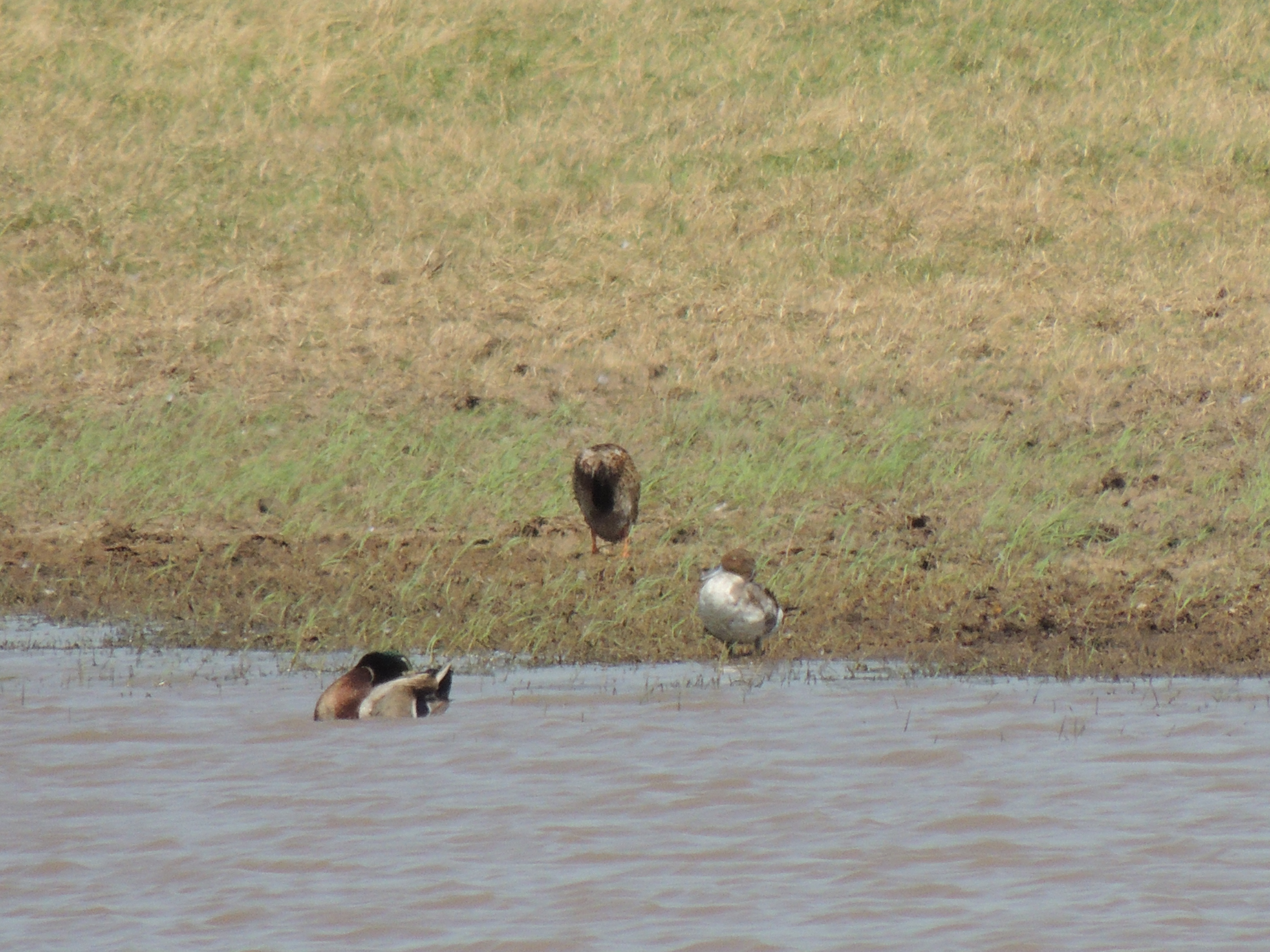
Northern Pintail

ROUTE66_2010_0756 - EL RENO OK
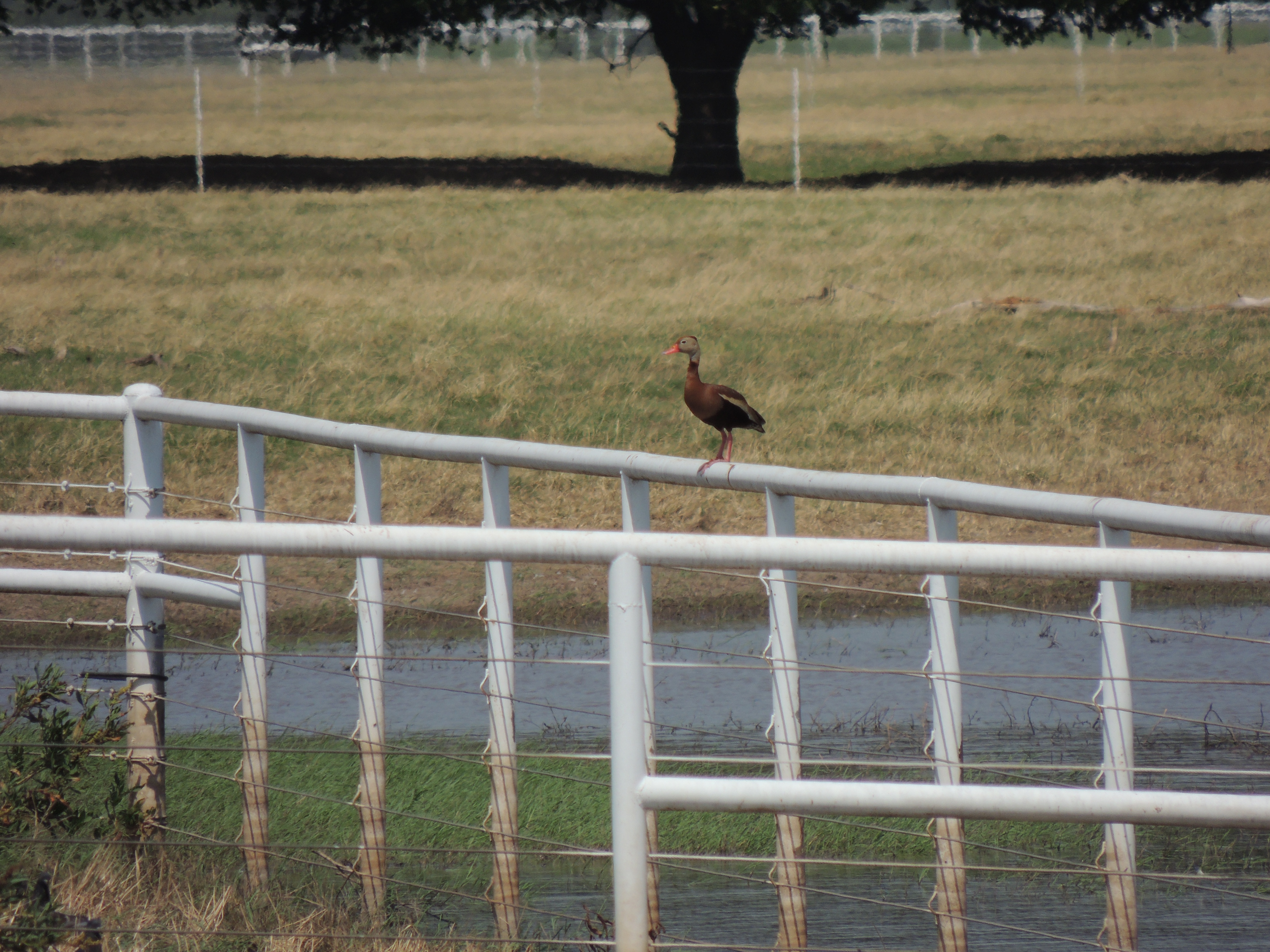
Black-bellied Whistling-Duck
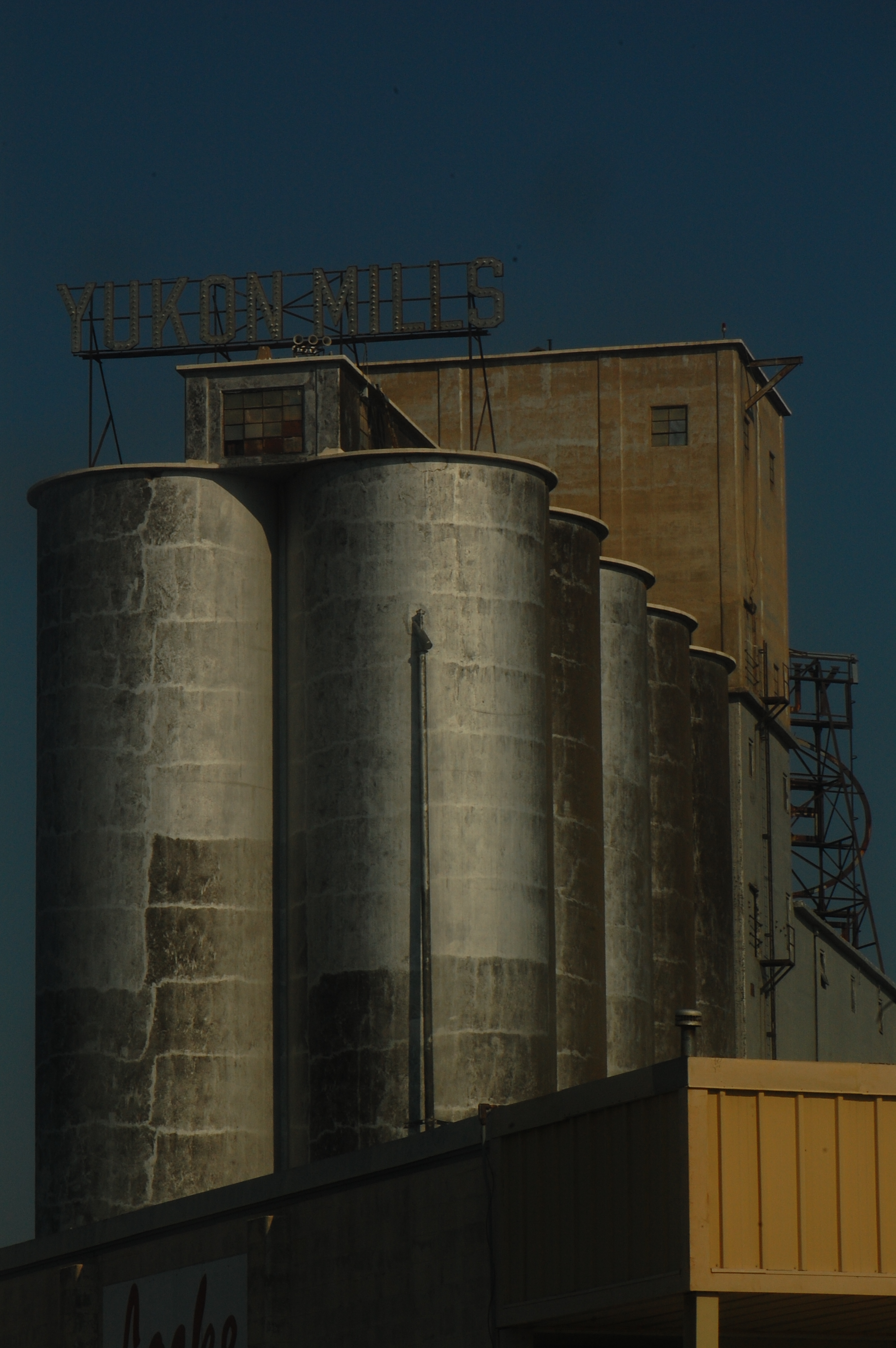
Yukon Mills
View From the Mound, Chisholm Trail Park, Yukon, Oklahoma
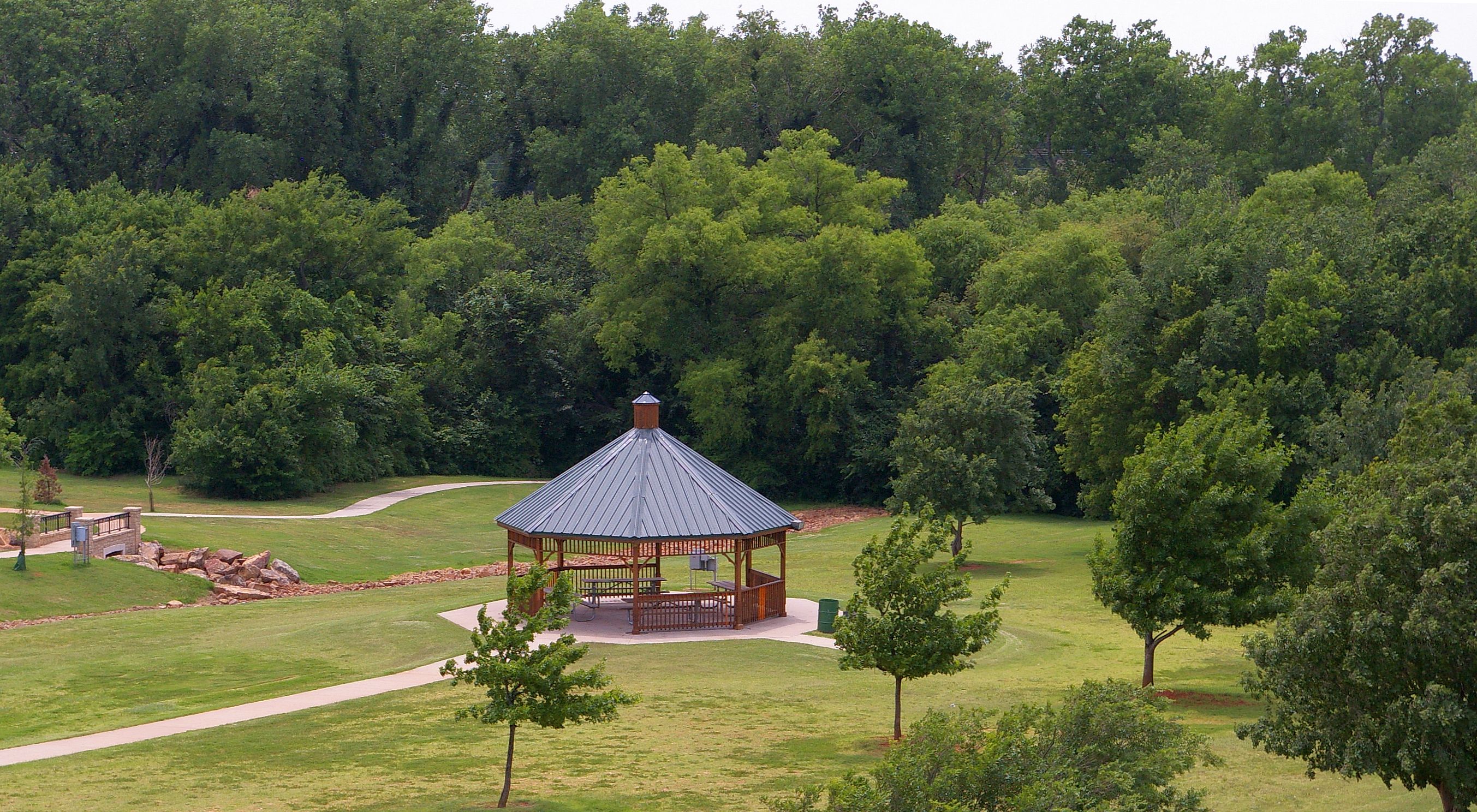
View From The Mound, Chisholm Trail Park, Yukon, Oklahoma

Truck_112012_LR-418.jpg
74/365
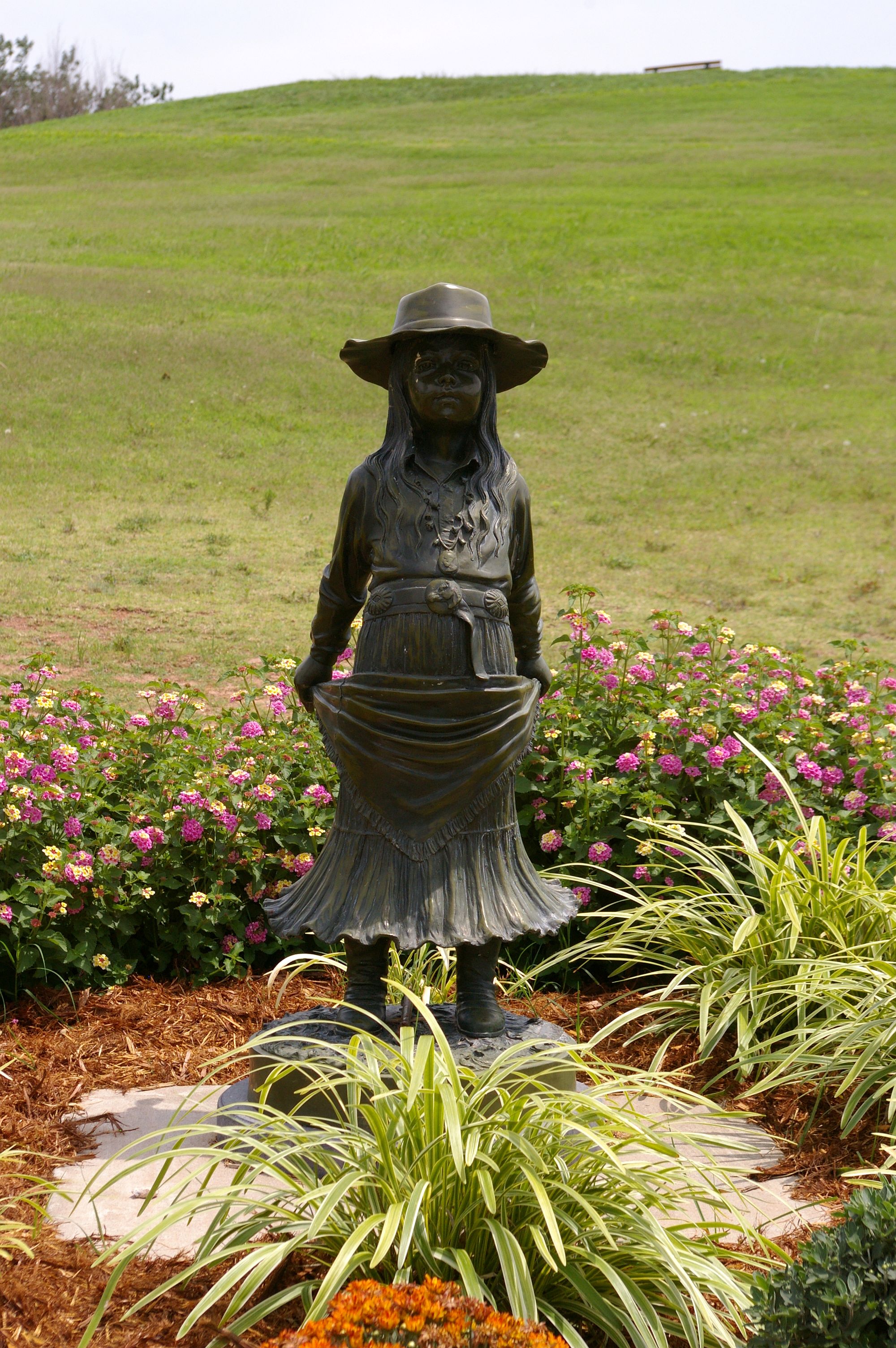
Pioneer Girl Statue

Supercellule sur Piedmont (OK)

Landscape_050713_LR-1.jpg
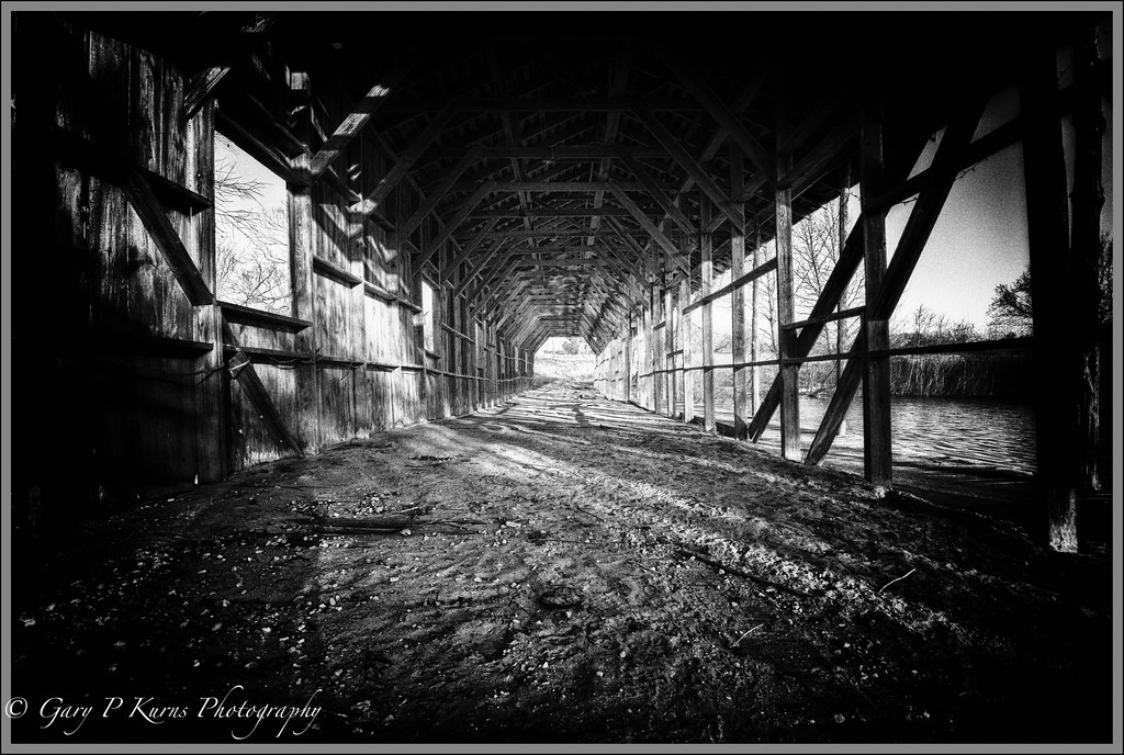
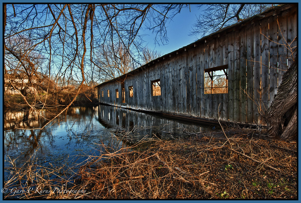
The Wild Bridge
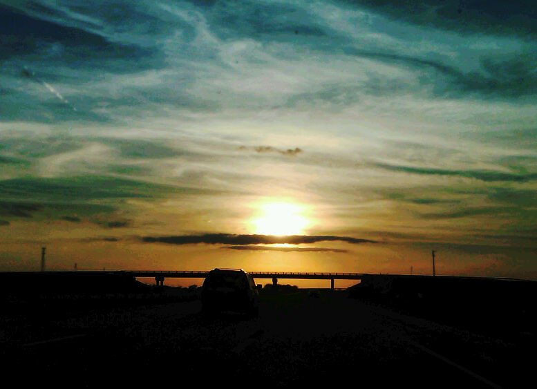
Sunset before Ballin

Standing Tall and to the Left #2
Sunset #6

Schwarzstock 2014 Day 1

Oklahoma Snow

Spring Time in the Wheat Belt

Oklahoma Sky
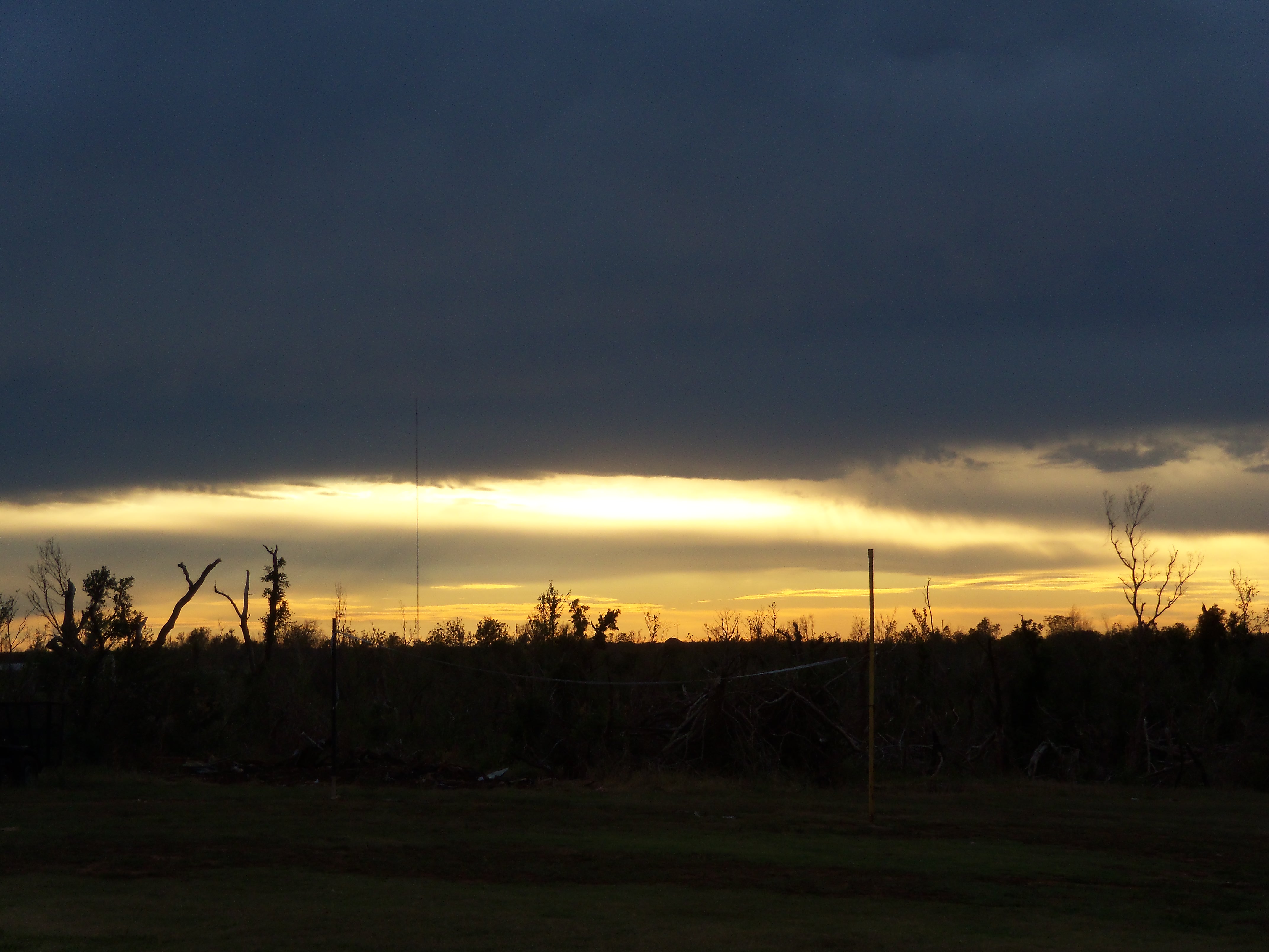
Tornado path and sunset.
Other Side of the Bridge

Standing Tall and to the Left
Sunset #2

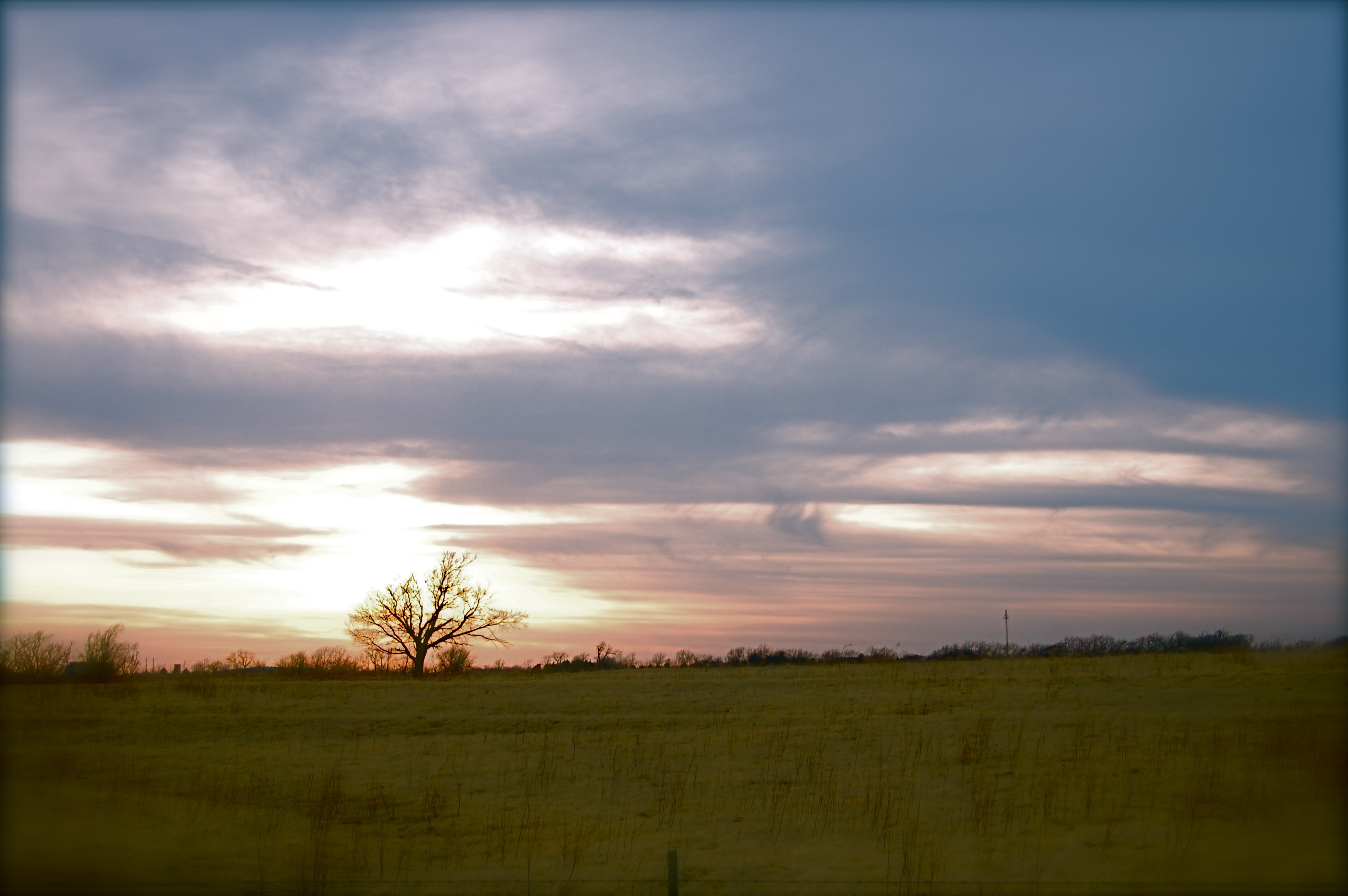
Sunset field

I never thought flat Oklahoma could be so pretty.

Truck_112012_LR-419.jpg
Topographic Map of Blue Gill Ln, El Reno, OK, USA
Find elevation by address:

Places near Blue Gill Ln, El Reno, OK, USA:
Quail Drive
El Reno
Piedmont
Piedmont
Piedmont
Piedmont
Piedmont
Piedmont
Piedmont
Piedmont
Piedmont
Piedmont
Piedmont
Piedmont
Piedmont
Piedmont
Piedmont
Piedmont
Piedmont
Piedmont
Recent Searches:
- Elevation of Corso Fratelli Cairoli, 35, Macerata MC, Italy
- Elevation of Tallevast Rd, Sarasota, FL, USA
- Elevation of 4th St E, Sonoma, CA, USA
- Elevation of Black Hollow Rd, Pennsdale, PA, USA
- Elevation of Oakland Ave, Williamsport, PA, USA
- Elevation of Pedrógão Grande, Portugal
- Elevation of Klee Dr, Martinsburg, WV, USA
- Elevation of Via Roma, Pieranica CR, Italy
- Elevation of Tavkvetili Mountain, Georgia
- Elevation of Hartfords Bluff Cir, Mt Pleasant, SC, USA