Elevation of Blue Creek, NE, USA
Location: United States > Nebraska > Garden County >
Longitude: -102.11754
Latitude: 41.6338219
Elevation: 1142m / 3747feet
Barometric Pressure: 88KPa
Elevation Map:
Satellite Map:
Related Photos:
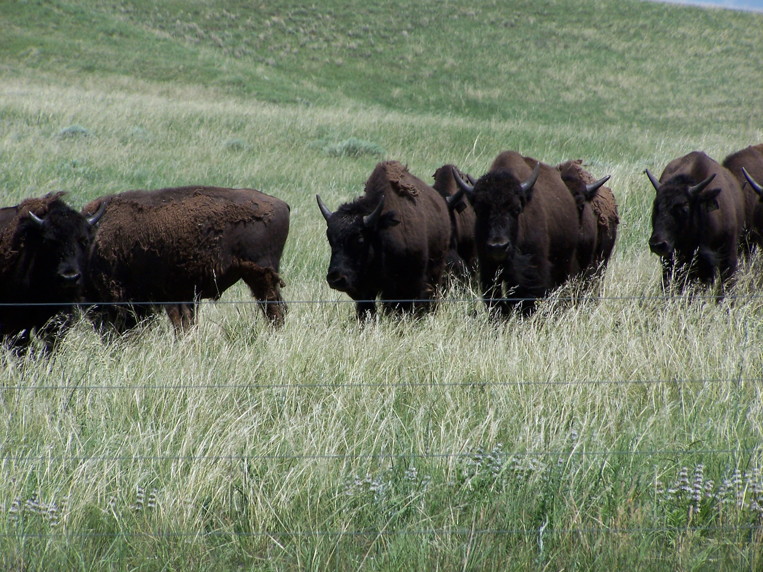
Turner bison
Topographic Map of Blue Creek, NE, USA
Find elevation by address:

Places in Blue Creek, NE, USA:
Places near Blue Creek, NE, USA:
Crescent Lake National Wildlife Refuge
Garden County
Main St, Lewellen, NE, USA
Lewellen
Oshkosh
Grant County
Lonergan
Arthur
Ellsworth
Hyannis
Lemoyne Rd, Lemoyne, NE, USA
Lemoyne
4019 Rd 165
Main Ave, Hyannis, NE, USA
Hyannis
Lakeside
Deuel County
Deuel County
Deuel County
Deuel County
Recent Searches:
- Elevation of Corso Fratelli Cairoli, 35, Macerata MC, Italy
- Elevation of Tallevast Rd, Sarasota, FL, USA
- Elevation of 4th St E, Sonoma, CA, USA
- Elevation of Black Hollow Rd, Pennsdale, PA, USA
- Elevation of Oakland Ave, Williamsport, PA, USA
- Elevation of Pedrógão Grande, Portugal
- Elevation of Klee Dr, Martinsburg, WV, USA
- Elevation of Via Roma, Pieranica CR, Italy
- Elevation of Tavkvetili Mountain, Georgia
- Elevation of Hartfords Bluff Cir, Mt Pleasant, SC, USA