Elevation of Blackbird Rd, Midland, LA, USA
Location: United States > Louisiana > Acadia Parish > >
Longitude: -92.562758
Latitude: 30.155337
Elevation: 3m / 10feet
Barometric Pressure: 101KPa
Elevation Map:
Satellite Map:
Related Photos:

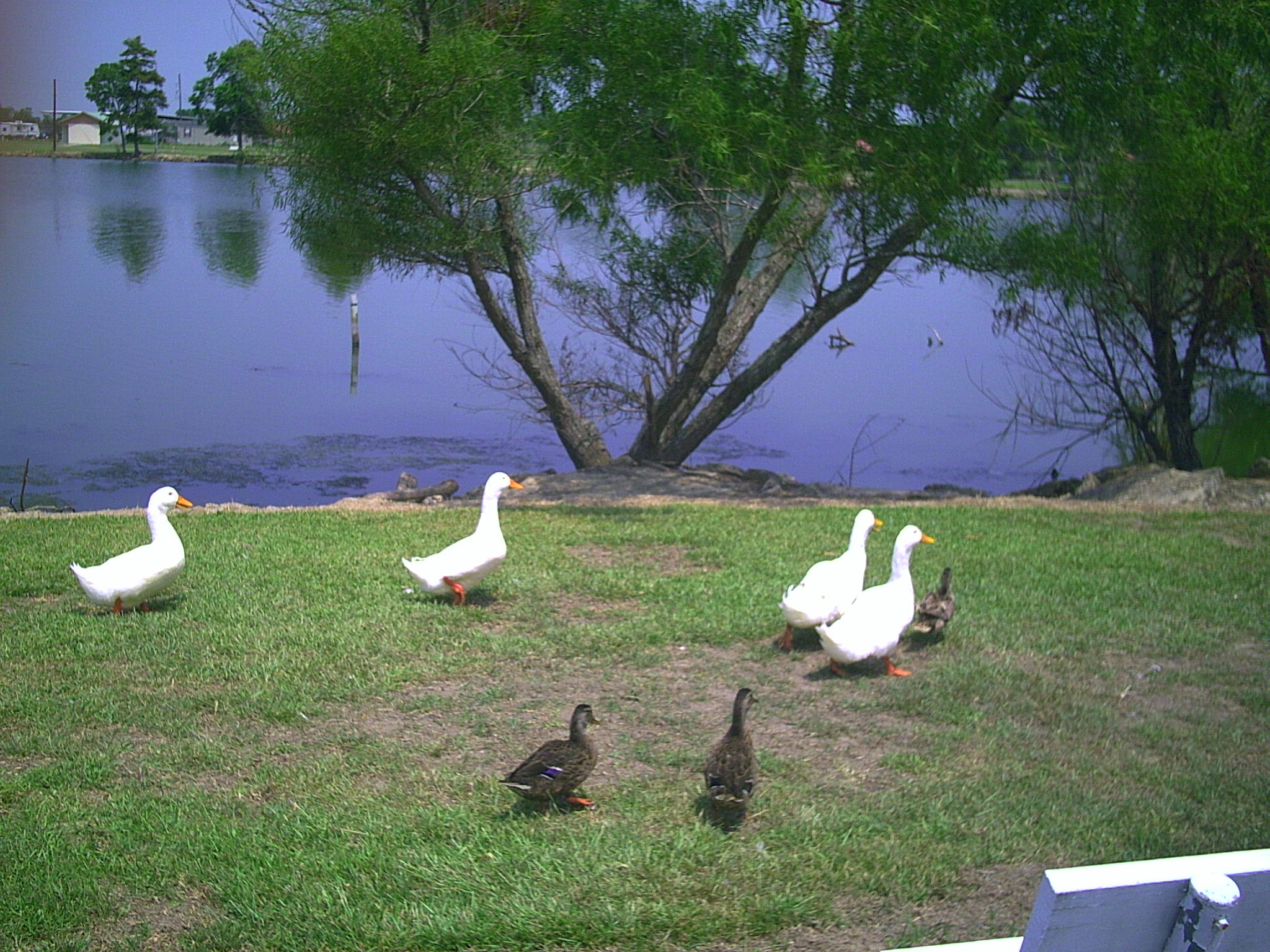
Cats Can't Read

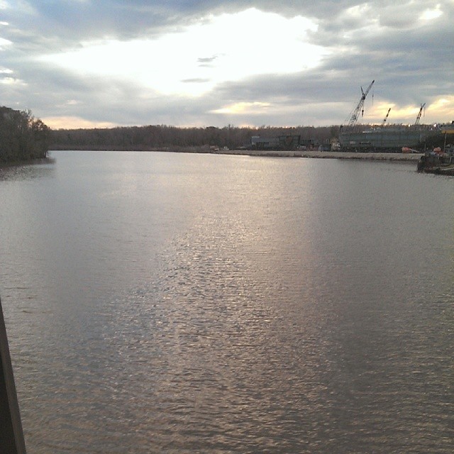
Lake Arthur Sunset
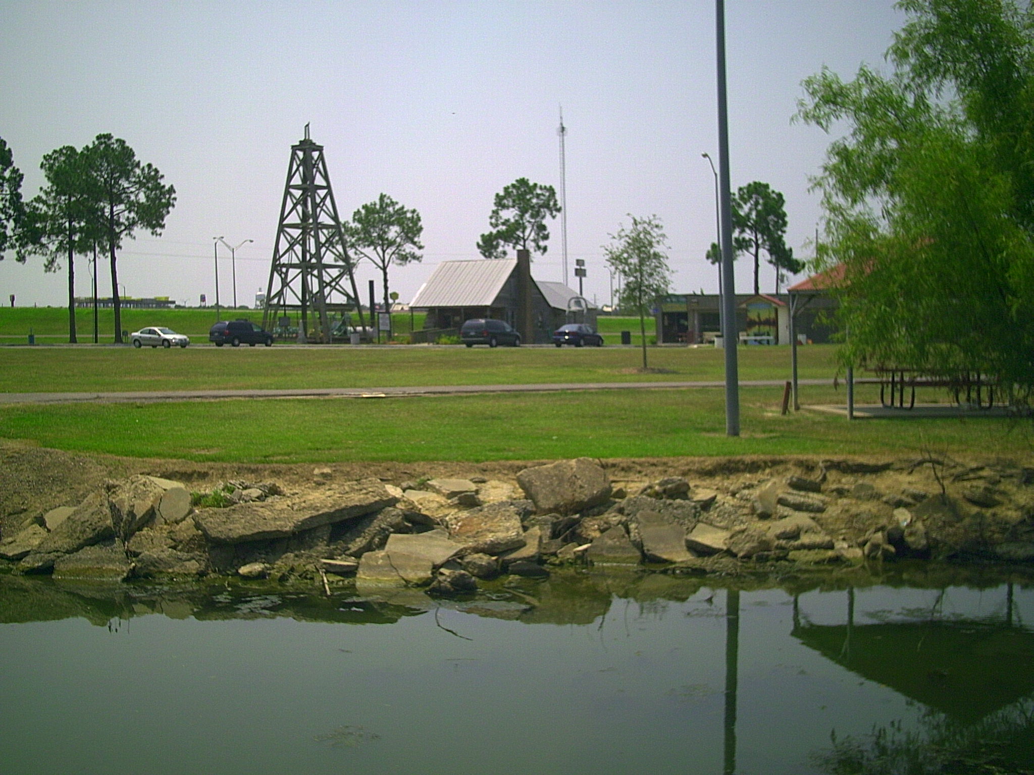
Jennings LA Jennings Oil and Gas Exploration Park 04

Cypress Forest
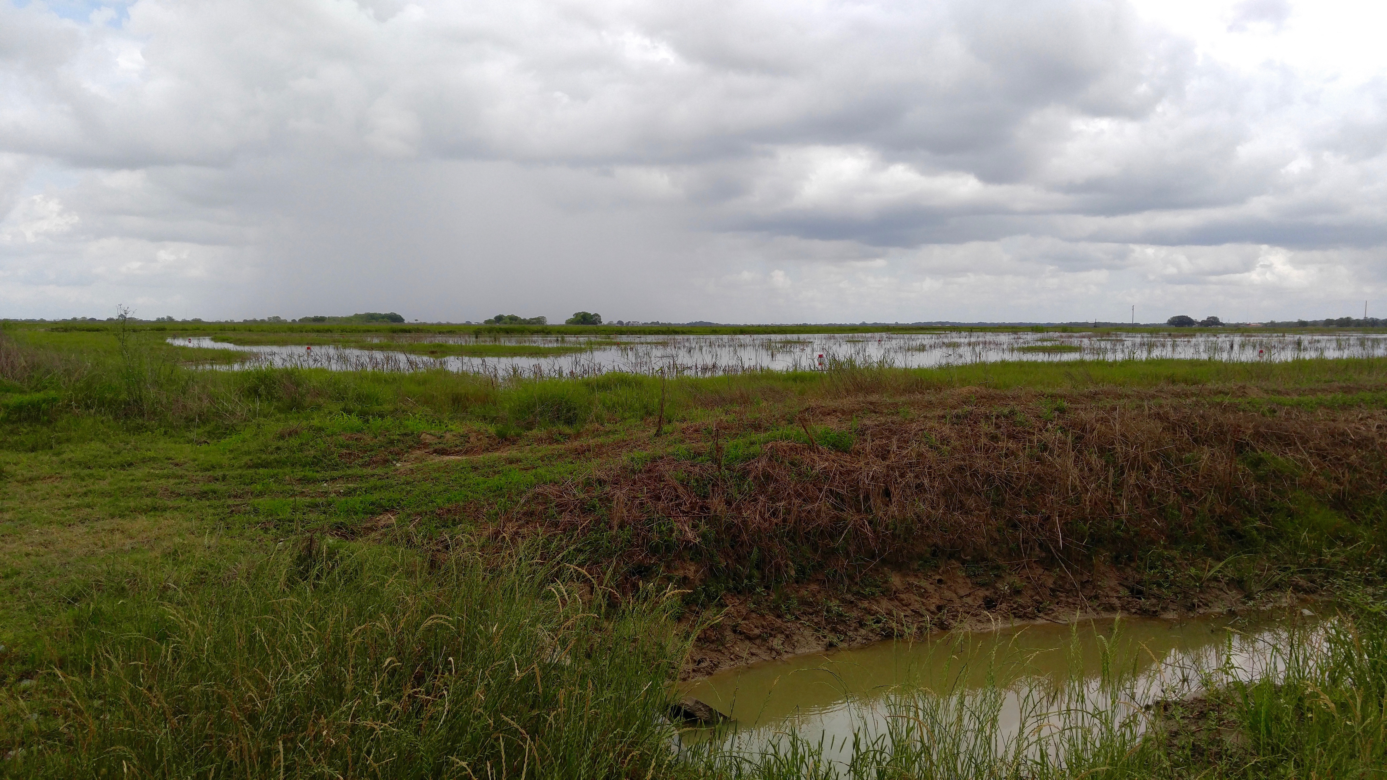
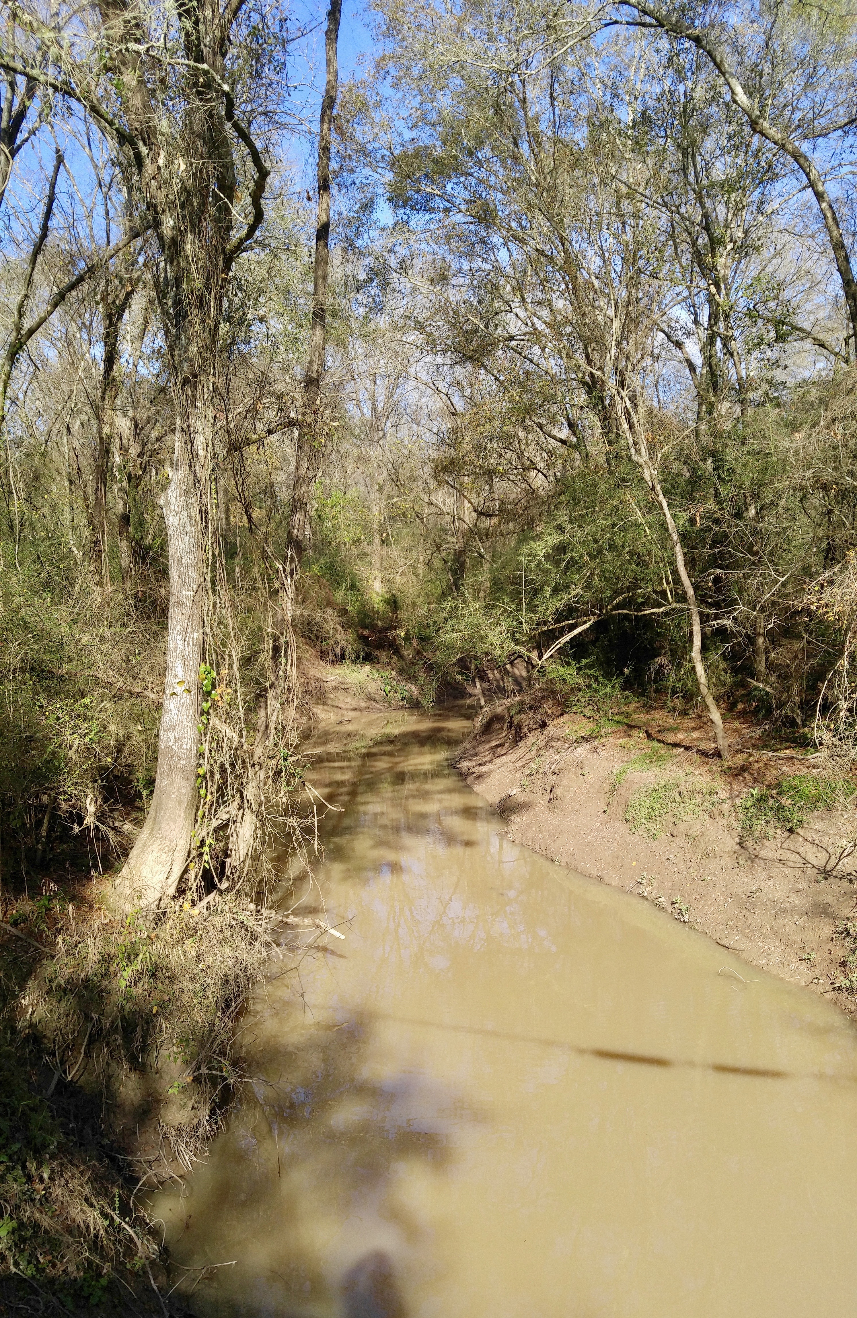
Mermentau river
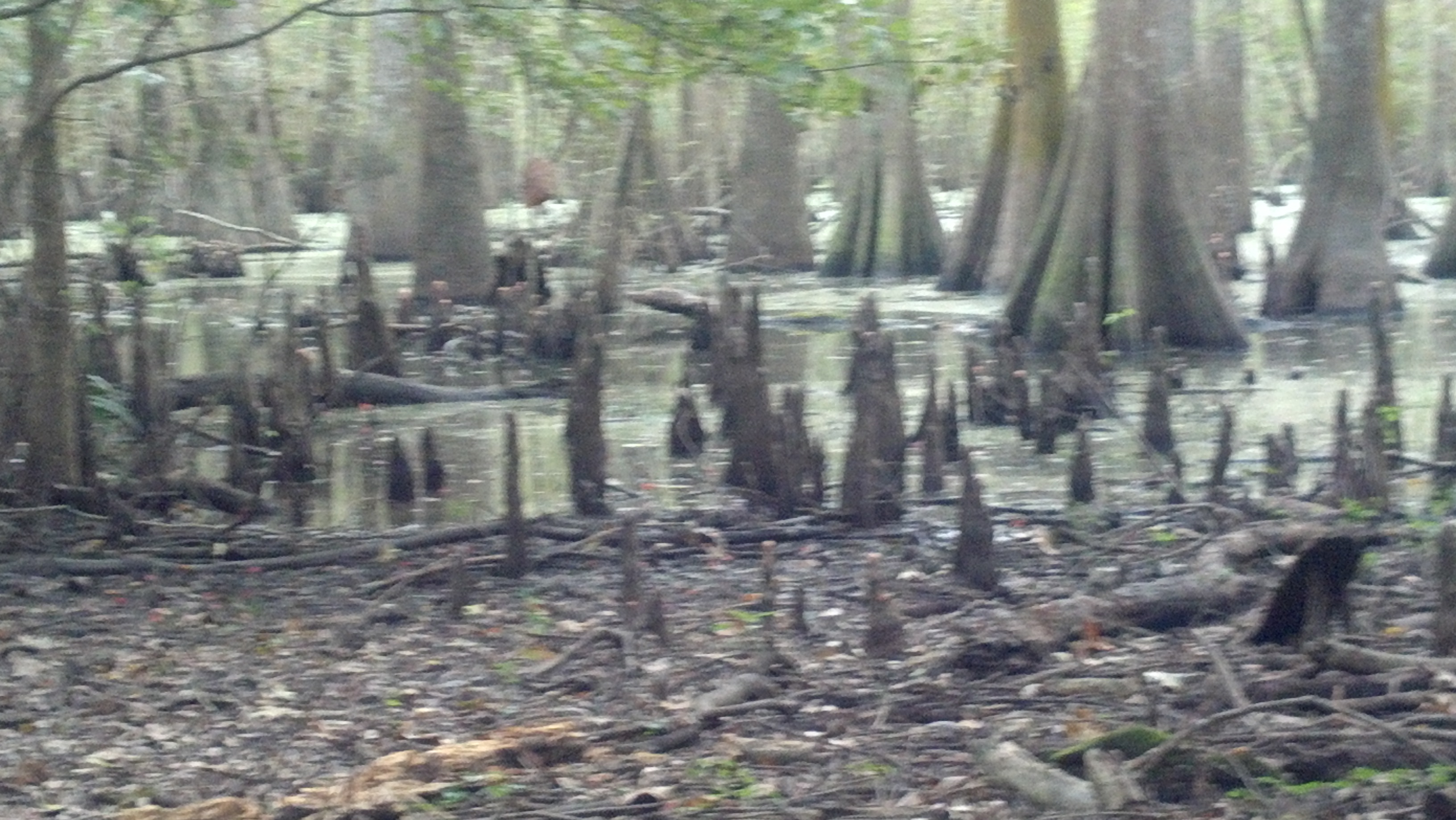
Cypress Forest
Jennings LA Jennings Oil and Gas Exploration Park 02
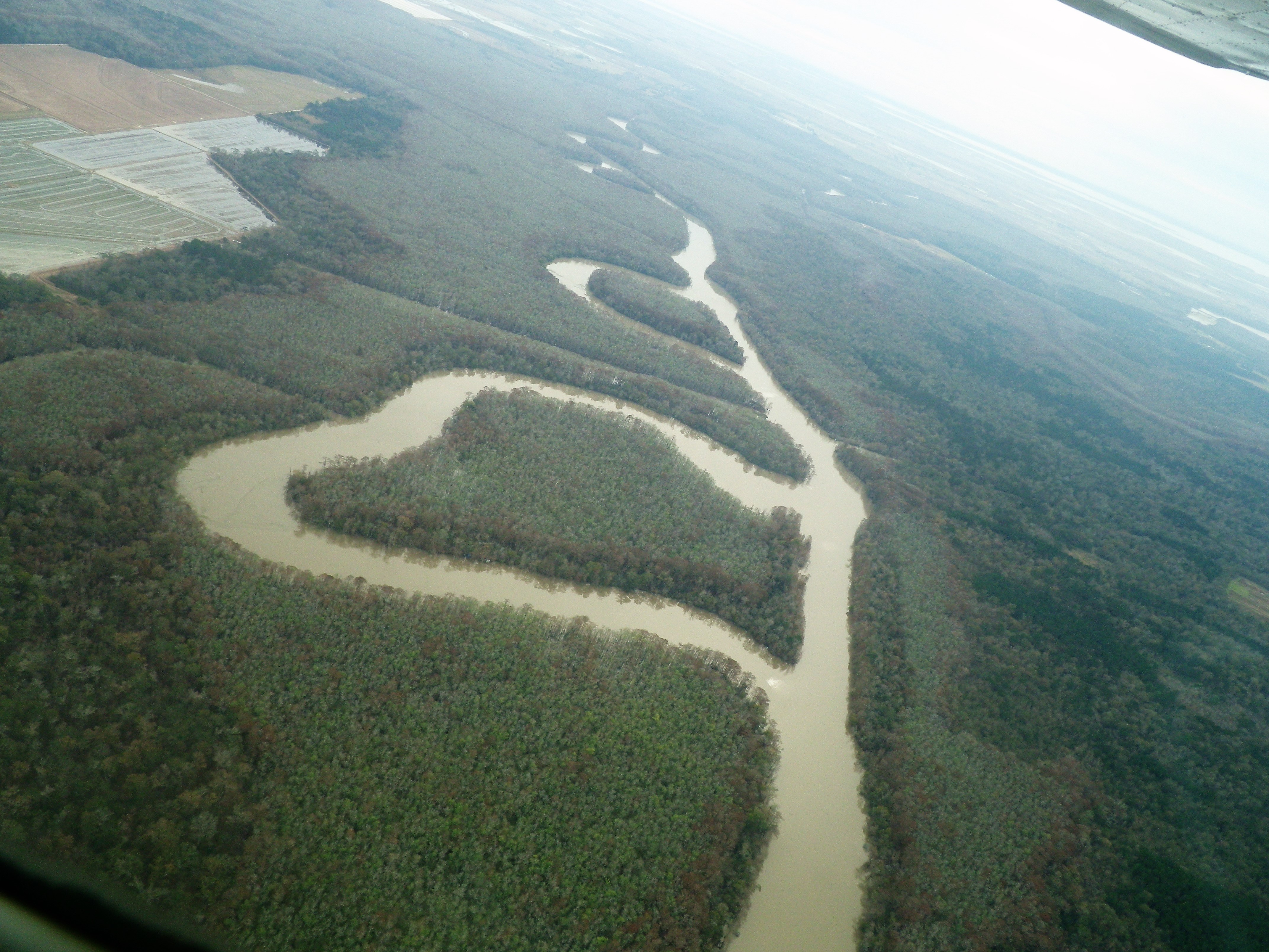
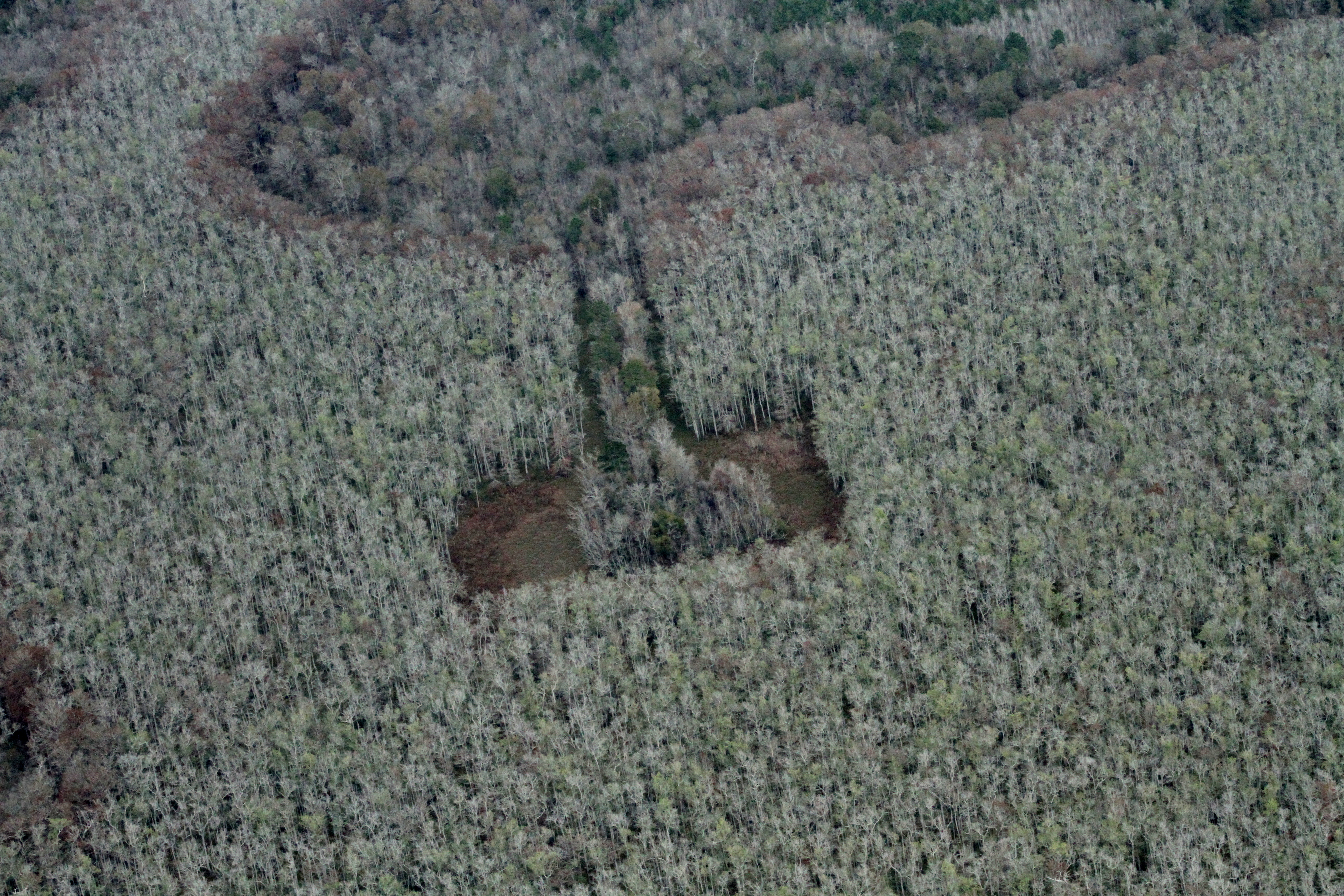
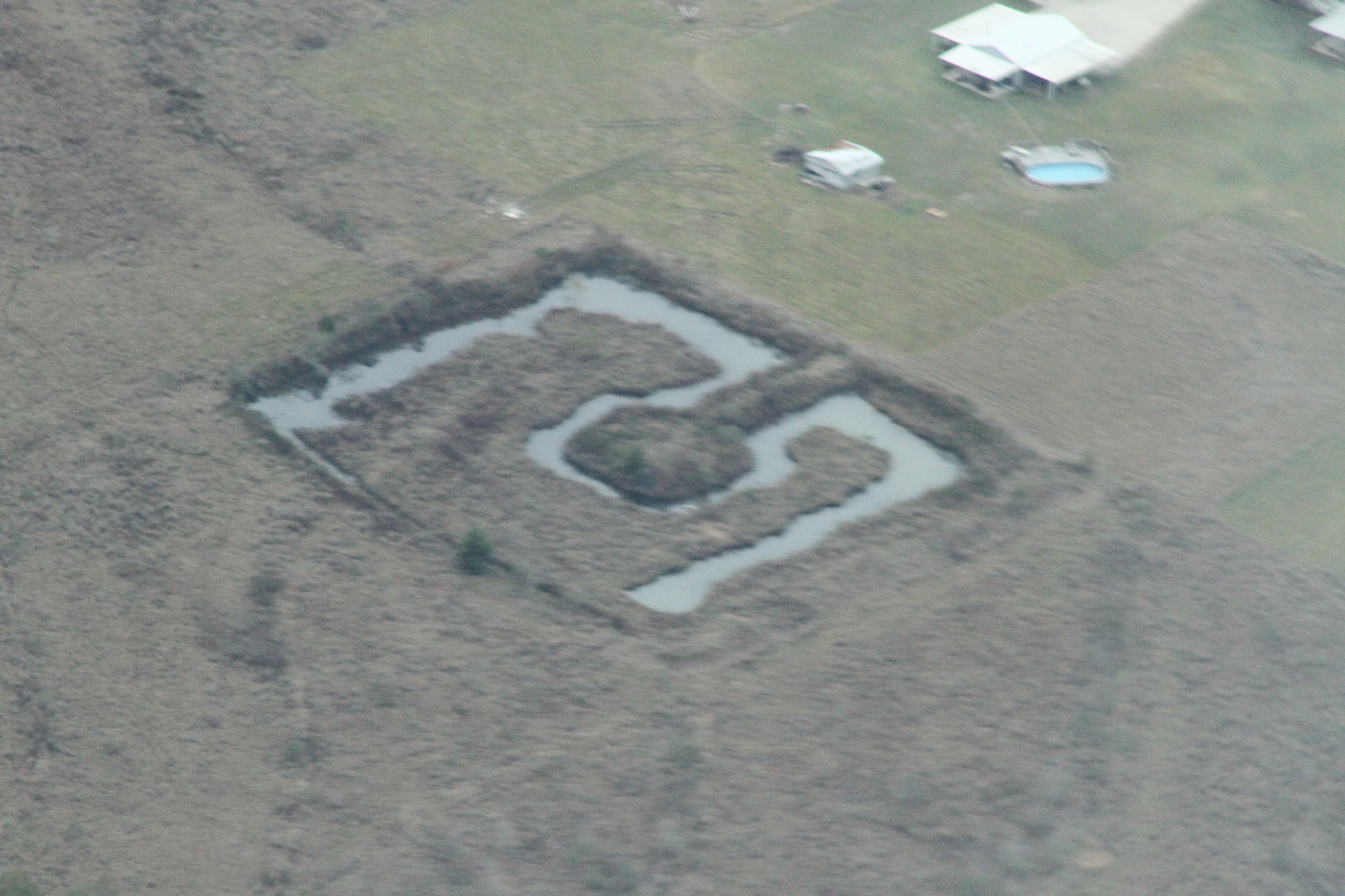
Heart Shaped Swamp Cypress and Tupelo
Jennings LA Jennings Oil and Gas Exploration Park 01
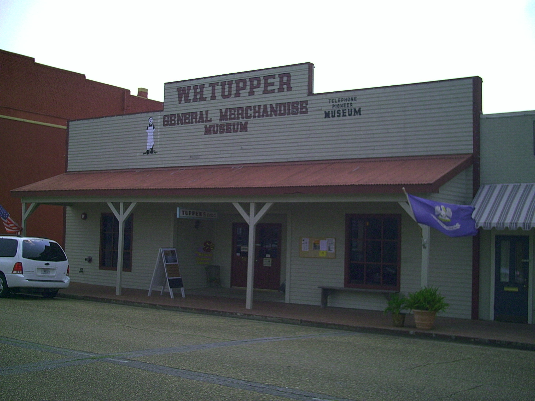
Jennings LA W. H. Tupper General Merchandise Museum
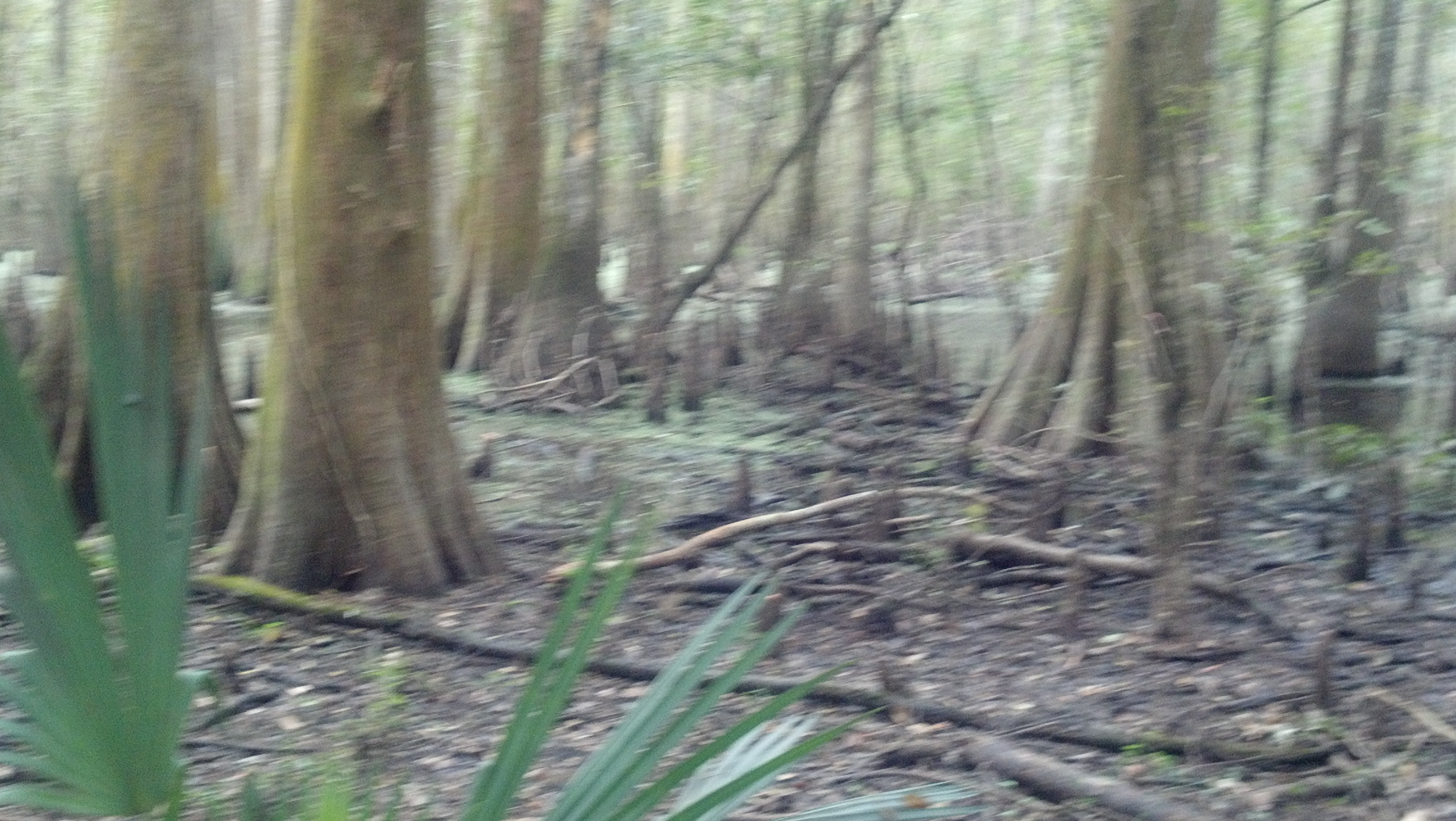
Cypress Forest

Aspen Rd.
Roy Rd.
Aspen Rd.
c IMG_1634

Acadia Par. landfill
Salt Scar oil well
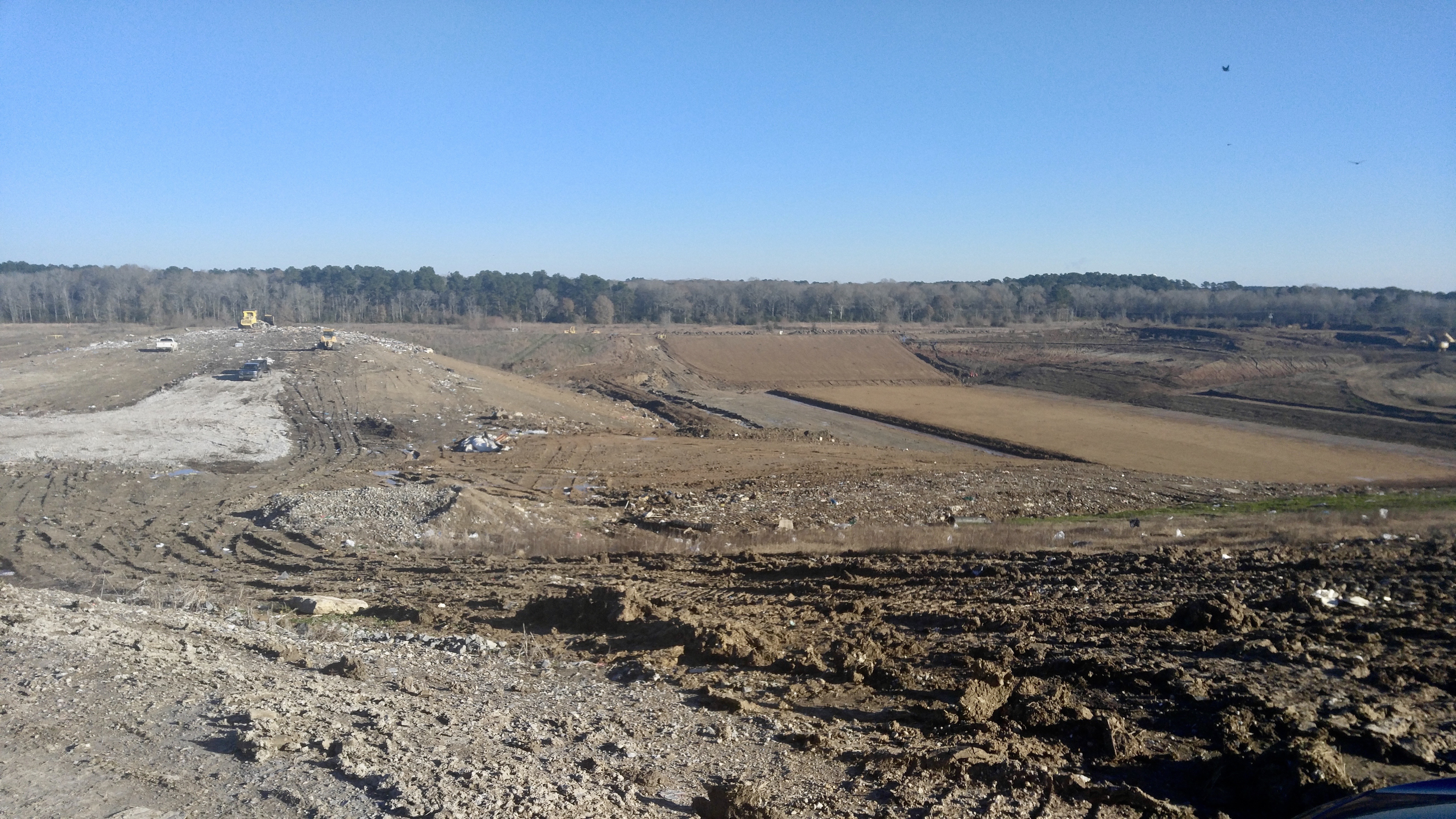
Acadia Parish landfill
Connie Rd.

2016:08:28 17:49:31 Flickr-354
Fabacher Rd.
Topographic Map of Blackbird Rd, Midland, LA, USA
Find elevation by address:

Places near Blackbird Rd, Midland, LA, USA:
2326 Everglade Rd
199 John Smith Rd
4220 W Whitney St
2141 Istre Rd
2050 Istre Rd
107 12th St
1301 Orange St
1202 Live Oak St
Istre Road
309 9th St
1002 Church St
6th St, Gueydan, LA, USA
Mermentau
101 4th St
707 Church St
707 Church St
9129 Castex Landing
Arnold Road
Standford St, Morse, LA, USA
1608 Bobby Rd
Recent Searches:
- Elevation of Corso Fratelli Cairoli, 35, Macerata MC, Italy
- Elevation of Tallevast Rd, Sarasota, FL, USA
- Elevation of 4th St E, Sonoma, CA, USA
- Elevation of Black Hollow Rd, Pennsdale, PA, USA
- Elevation of Oakland Ave, Williamsport, PA, USA
- Elevation of Pedrógão Grande, Portugal
- Elevation of Klee Dr, Martinsburg, WV, USA
- Elevation of Via Roma, Pieranica CR, Italy
- Elevation of Tavkvetili Mountain, Georgia
- Elevation of Hartfords Bluff Cir, Mt Pleasant, SC, USA