Elevation of Black Camp Gap Rd, Maggie Valley, NC, USA
Location: United States > North Carolina > Haywood County > Ivy Hill > Maggie Valley >
Longitude: -83.134912
Latitude: 35.514535
Elevation: 1044m / 3425feet
Barometric Pressure: 89KPa
Elevation Map:
Satellite Map:
Related Photos:
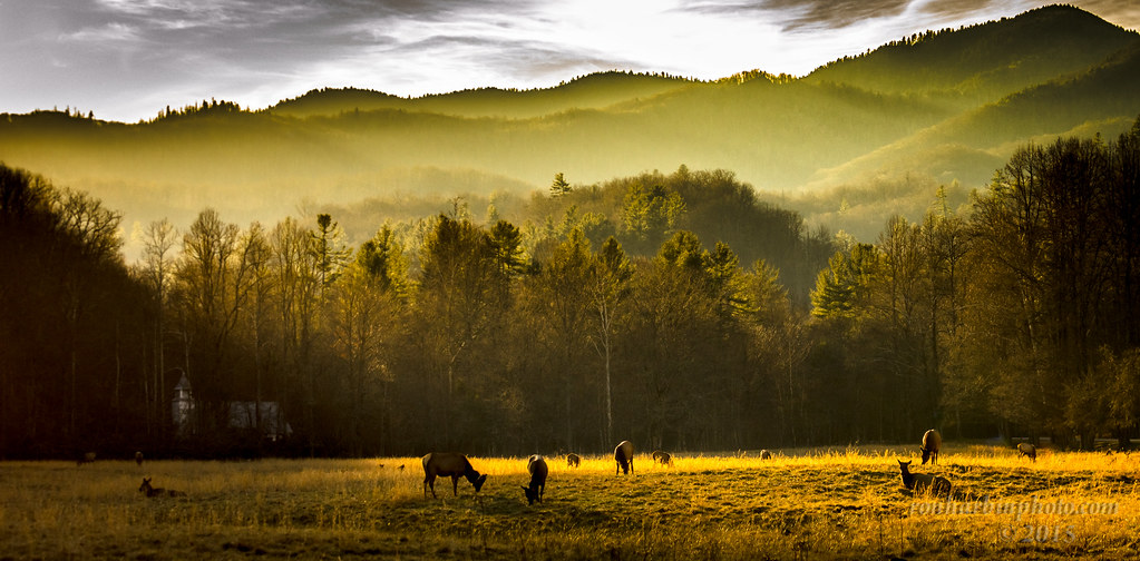
Cataloochee Elk-GSMNP
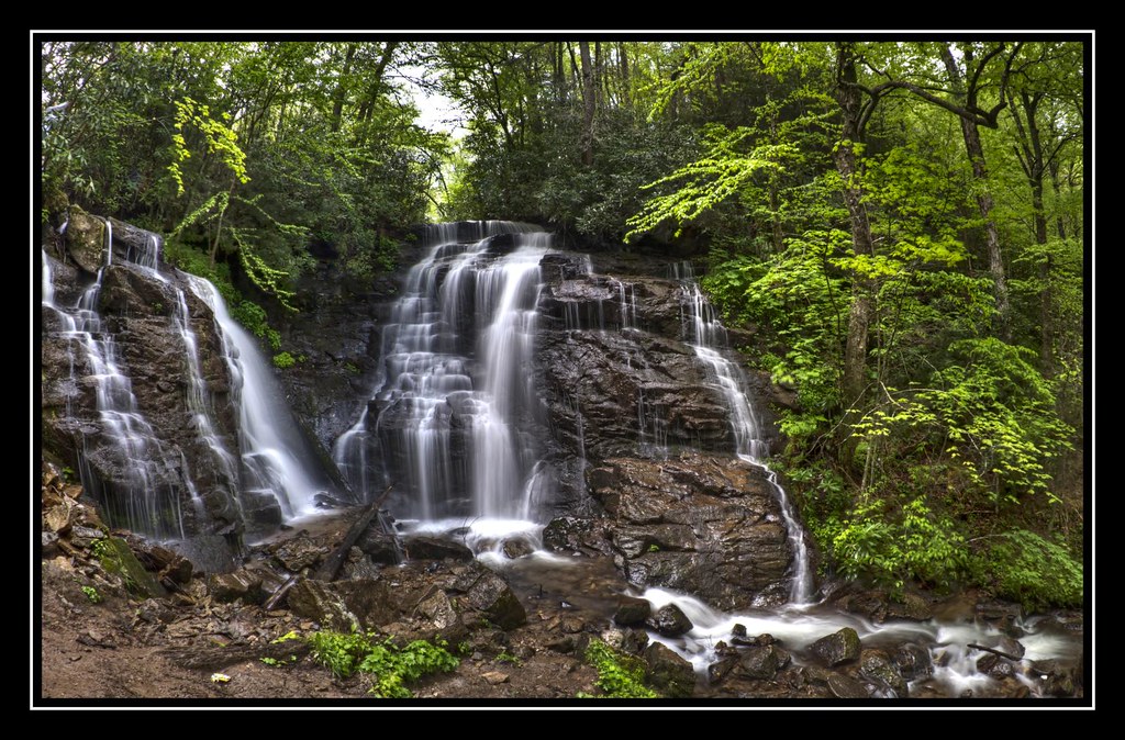
Soco Falls (Lower View)

Mountain Farm Barn

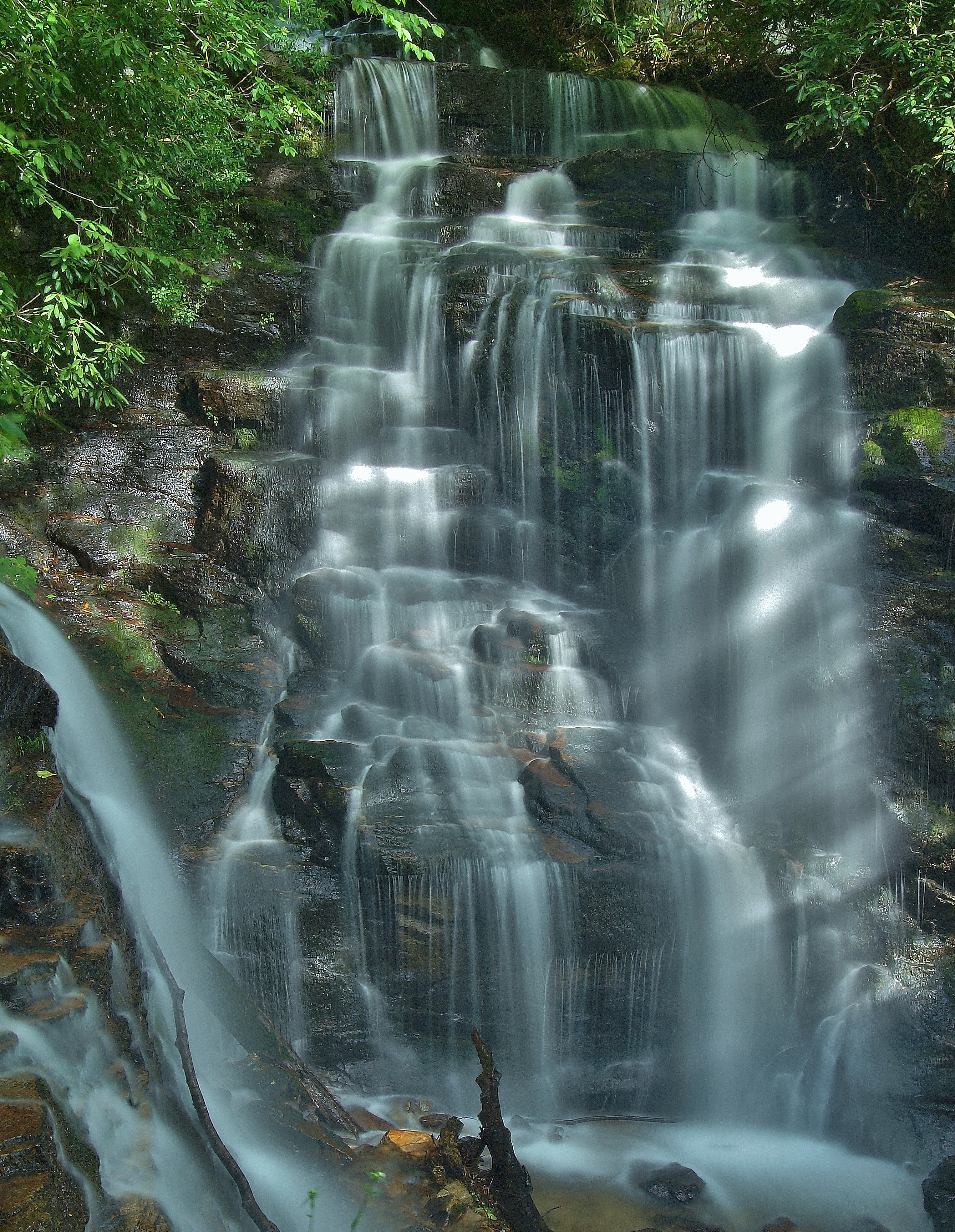
Mingus Mill Falls

Mingus Mill
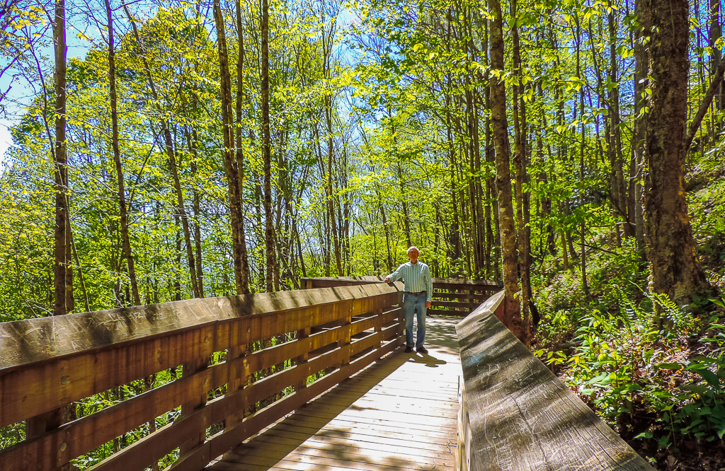
viewing platform
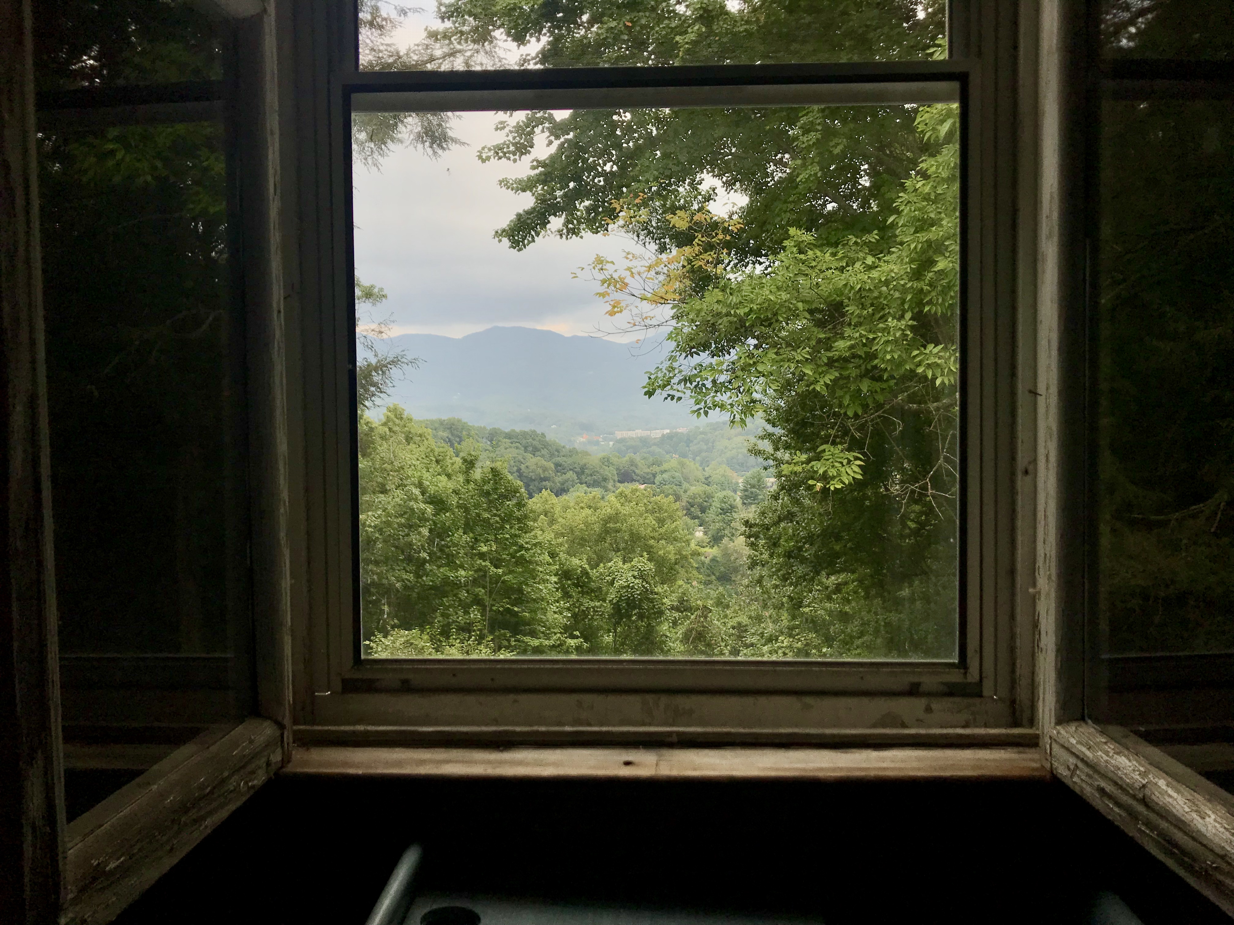
view from upstairs
Unto these hills

Mingus Mill
A High Trail.
"Smokey Bear" Overlook
viewing deck

View from Rabb Knob Overlook on the Blue Ridge Parkway, NC

Heaven Comes Down

Roundleaf Groundsel

Current view from our cabin
Layers of Mountains from Waterrock Knob Trail on Blue Ridge Parkway
Mingo Falls, Cherokee Indian Reservation, North Carolina
Lake Junaluska, NC
Sundown on the Waterrock Knob summit trail.

Cherokee from Waterrock Knob, Blue Ridge Parkway, Isaiah 40:22
Mingus Mill

North Carolina - Blue Ridge Parkway
Sunlight in the Trees
Sunset at Waterrock Knob - Explored
Maggie Valley NC
The Edge of Spring

Icy Mountain Stream

Barn at Mountain Farm Museum
Hemphill Bald: June 10, 2017
Into the Forest
Great Smoky Mountains Landscape Photography
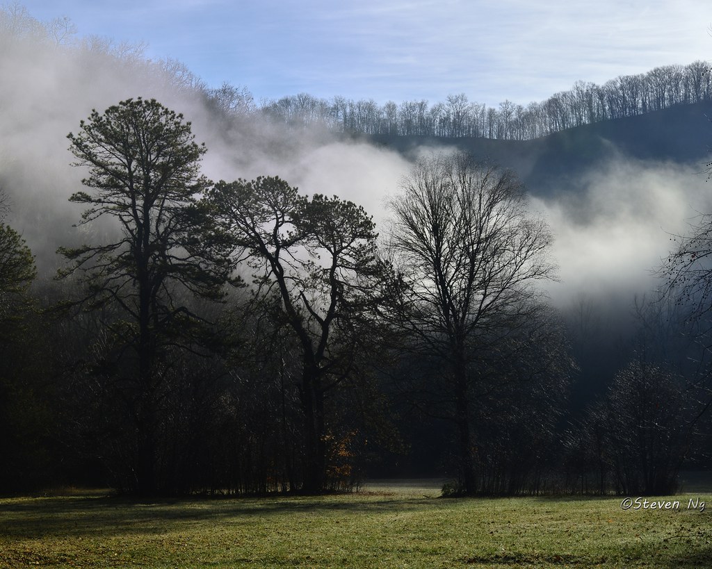
Misty morning. Great Smoky Mountain National Park

Colors of Mingo

Mingo Falls
SOCO FALLS

Valley Fog From Waterrock Knob

Flow Below Mingo Falls HD Wallpaper
from here to there

Cloud and Color
Topographic Map of Black Camp Gap Rd, Maggie Valley, NC, USA
Find elevation by address:

Places near Black Camp Gap Rd, Maggie Valley, NC, USA:
200 Holley Ln
200 Holley Ln
200 Holly Ln
58 Cabin Fever Trail
86 Indian Creek Rd
48 Cierra Ln
76 Chateau Ln
43 Rena Dr
2 Hidden Cove Rd #2
2 Hidden Cove Rd #2
Brennan Road
Maggie Valley, NC, USA
36 Marietta Pl
Skyway Drive
75 Maggie Ln
643 Bent Tree Rd
464 Bent Tree Rd
43 Bent Tree Rd
5395 Soco Rd
1100 Pless Underwood Rd
Recent Searches:
- Elevation of Corso Fratelli Cairoli, 35, Macerata MC, Italy
- Elevation of Tallevast Rd, Sarasota, FL, USA
- Elevation of 4th St E, Sonoma, CA, USA
- Elevation of Black Hollow Rd, Pennsdale, PA, USA
- Elevation of Oakland Ave, Williamsport, PA, USA
- Elevation of Pedrógão Grande, Portugal
- Elevation of Klee Dr, Martinsburg, WV, USA
- Elevation of Via Roma, Pieranica CR, Italy
- Elevation of Tavkvetili Mountain, Georgia
- Elevation of Hartfords Bluff Cir, Mt Pleasant, SC, USA