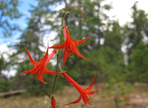
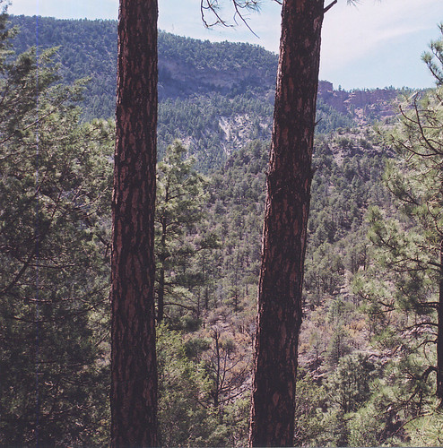
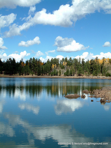
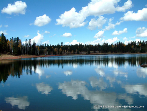
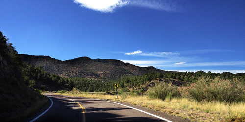
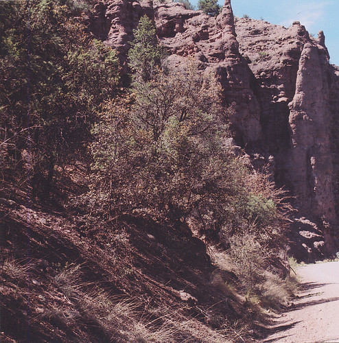
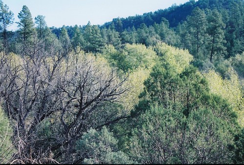
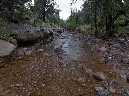
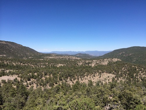
Elevation of Black Bull Peak, New Mexico, USA
Location: United States > New Mexico > Reserve >
Longitude: -108.97562
Latitude: 33.6544995
Elevation: 2501m / 8205feet
Barometric Pressure: 75KPa
Related Photos:
Topographic Map of Black Bull Peak, New Mexico, USA
Find elevation by address:

Places near Black Bull Peak, New Mexico, USA:
Aspen Mountain
Saddle Mountain
Cottonwood Campground
Prairie Peak
Blue
Saliz Mountains Hp
Cosmic Campground
196 Nm-435
Reserve
Willow Spring Mountain
Mogollon Divide
Silver Peak
Sheep Basin Divide
Lost Lake Mountain
Alma
Sign Camp Mountain
Fannie Hill
Catwalk Recreation Area
Deep Creek Divide
Milligan Mountain
Recent Searches:
- Elevation of Corso Fratelli Cairoli, 35, Macerata MC, Italy
- Elevation of Tallevast Rd, Sarasota, FL, USA
- Elevation of 4th St E, Sonoma, CA, USA
- Elevation of Black Hollow Rd, Pennsdale, PA, USA
- Elevation of Oakland Ave, Williamsport, PA, USA
- Elevation of Pedrógão Grande, Portugal
- Elevation of Klee Dr, Martinsburg, WV, USA
- Elevation of Via Roma, Pieranica CR, Italy
- Elevation of Tavkvetili Mountain, Georgia
- Elevation of Hartfords Bluff Cir, Mt Pleasant, SC, USA
