Elevation of Bison Mountain, Montana, USA
Location: United States > Montana > Powell County > Elliston >
Longitude: -112.39668
Latitude: 46.3943746
Elevation: 2395m / 7858feet
Barometric Pressure: 76KPa
Elevation Map:
Satellite Map:
Related Photos:
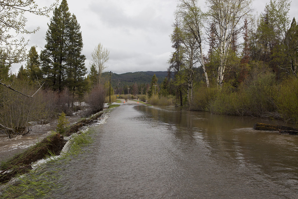
Little Blackfoot River Road
Topographic Map of Bison Mountain, Montana, USA
Find elevation by address:

Places near Bison Mountain, Montana, USA:
Thunderbolt Mountain
Fox Mountain
Jack Mountain
Rocker Peak
13 Boulder St
Basin
Sullivan Mountain
Mount Thompson
Occidental Plateau
Sheepshead Mountain
Mount Pisgah
Haystack Mountain
149 Depot Hill Rd
Alta Mountain
Amazon
Amazon Rd, Boulder, MT, USA
Valparaiso Mountain
Boulder
125 N Main St
98 Meadowlark Trail
Recent Searches:
- Elevation of Corso Fratelli Cairoli, 35, Macerata MC, Italy
- Elevation of Tallevast Rd, Sarasota, FL, USA
- Elevation of 4th St E, Sonoma, CA, USA
- Elevation of Black Hollow Rd, Pennsdale, PA, USA
- Elevation of Oakland Ave, Williamsport, PA, USA
- Elevation of Pedrógão Grande, Portugal
- Elevation of Klee Dr, Martinsburg, WV, USA
- Elevation of Via Roma, Pieranica CR, Italy
- Elevation of Tavkvetili Mountain, Georgia
- Elevation of Hartfords Bluff Cir, Mt Pleasant, SC, USA