Elevation of Birdsong Trail, Topton, NC, USA

Location: United States > North Carolina > Cherokee County > Valleytown > Topton >

Longitude: -83.63312

Latitude: 35.259218

Elevation: 897m / 2943feet

Barometric Pressure: 91KPa

Elevation Map:

elevation map of Birdsong Trail, Topton, NC, USA

Satellite Map:

Satellite map of Birdsong Trail, Topton, NC, USA

Related Photos:

house home homestead architecture building ranger forestranger forest nantahala nantahalanationaforest chimney brick wood framewoodframe northcarolina franklin usa rural outdoors trees grass
Nantahala Ranger House #3
tower observationtower mountains mountain view mountainview nature mothernature sky clouds cloudy weather trees forest nantahala nationalforest nantahalanationalforest northcarolina franklin usa landscape country rural
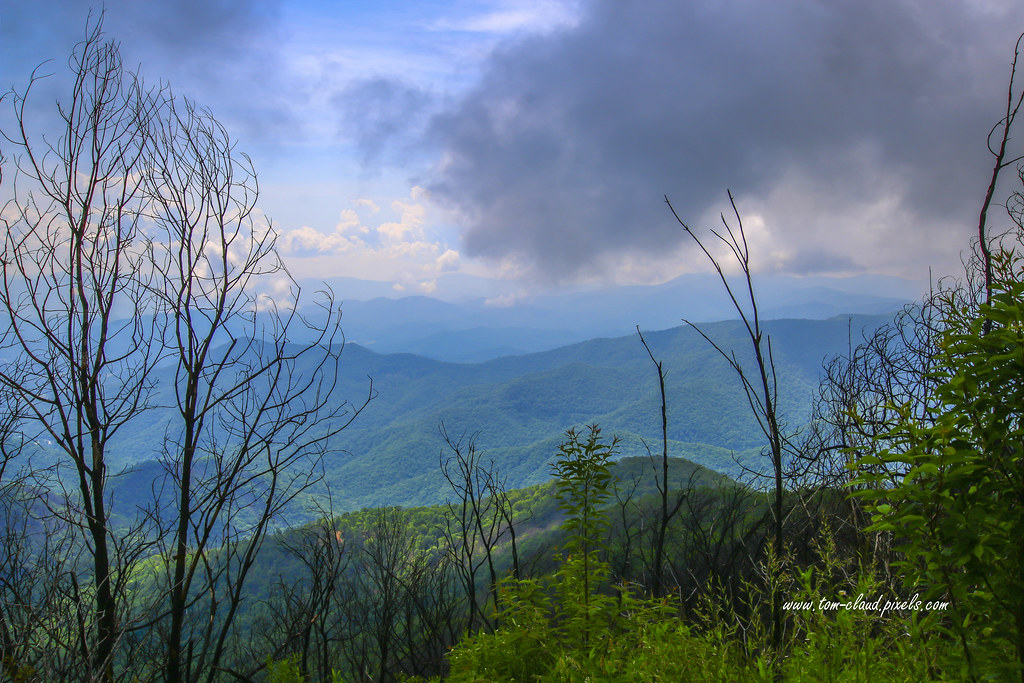
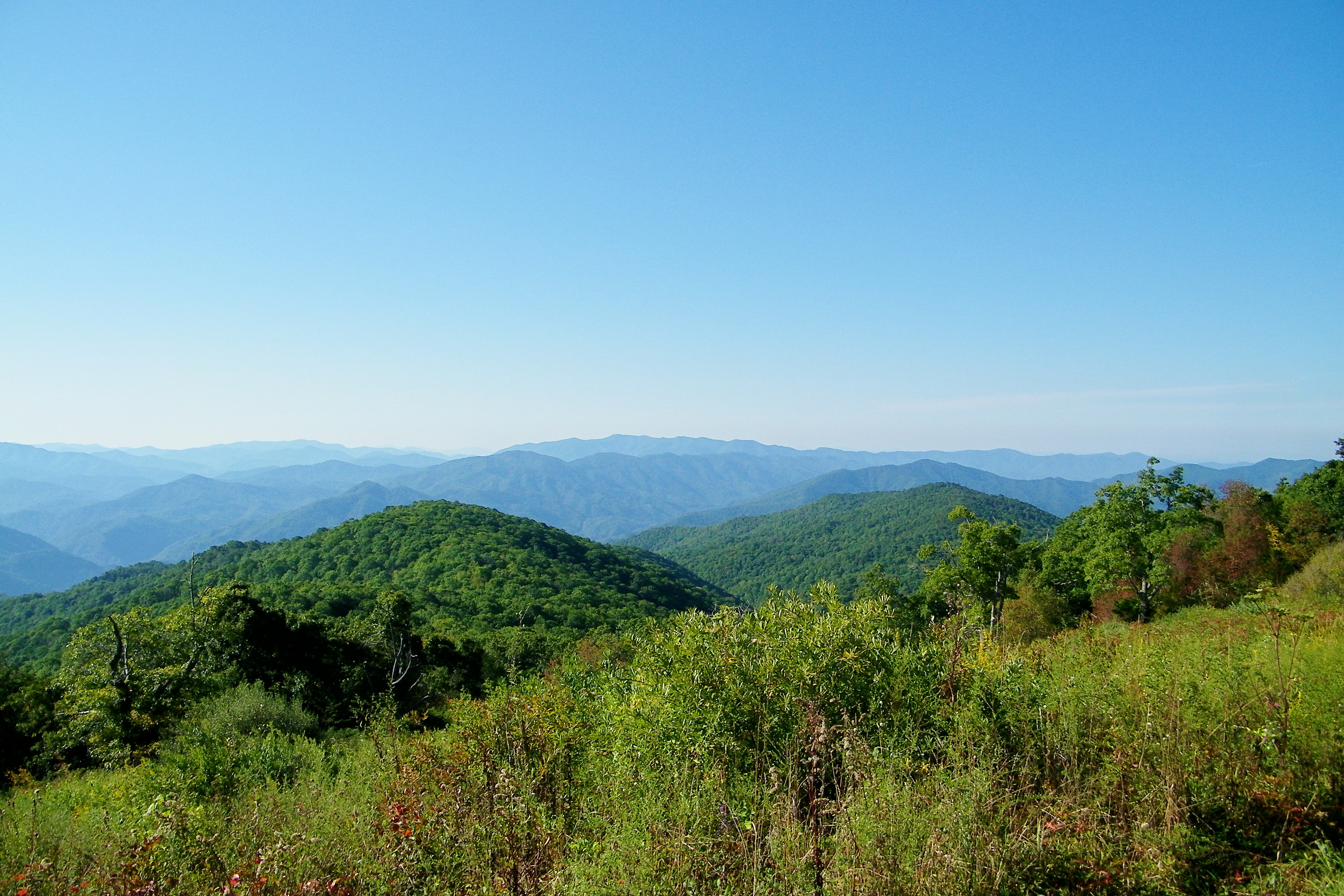
Observation Tower View
mountainview trees clouds cloudy sky weather nature mothernature outdoors greatoutdoors country rural mountains franklin northcarolina wayah bald wayahbald nantahala forest nationalforest nantahalanationalforest landscape
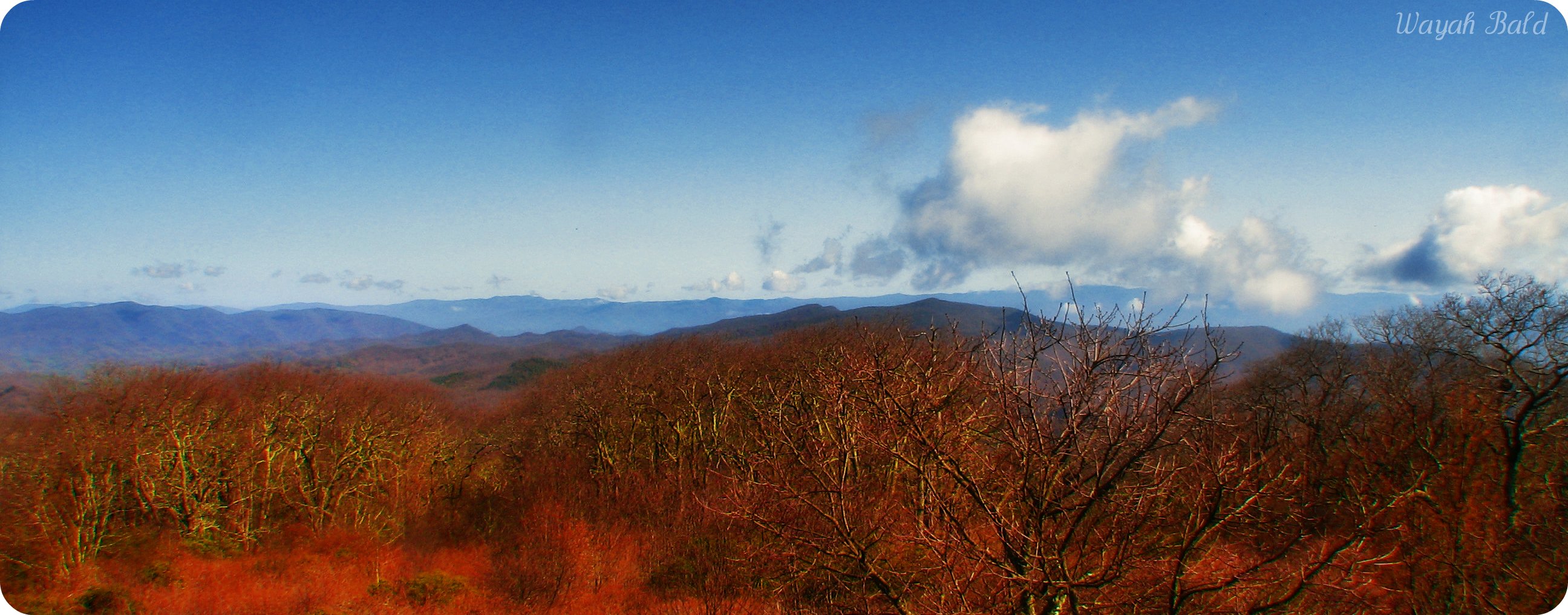
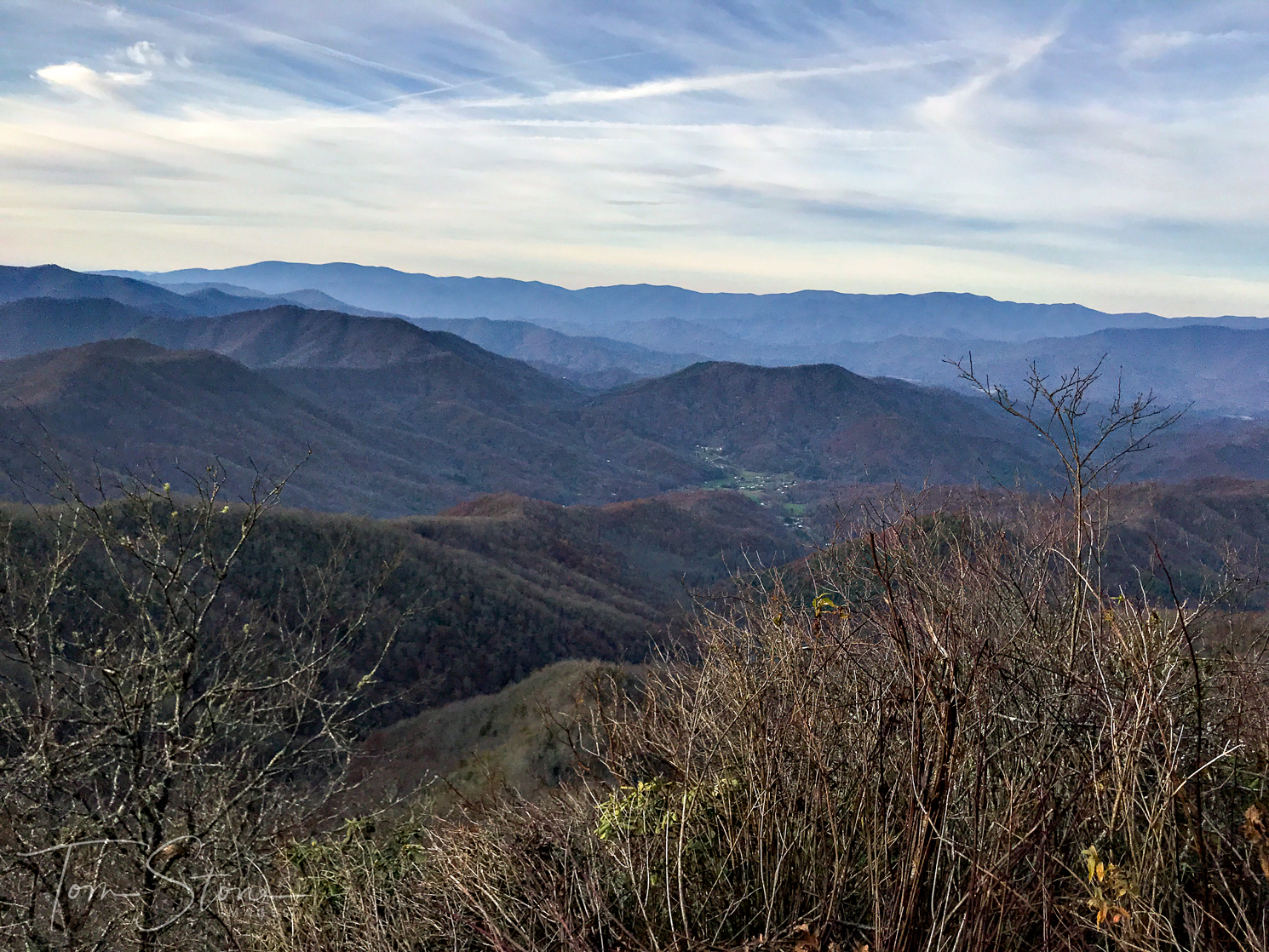
Wayah Bald Mountain View
God's Country!
mountain view mountainview moutains landscape clouds cloudy sky weather outdoors nature mothernature trees country rural forest nantahala nationalforest nantahalanationalforest franklin northcarolina usa
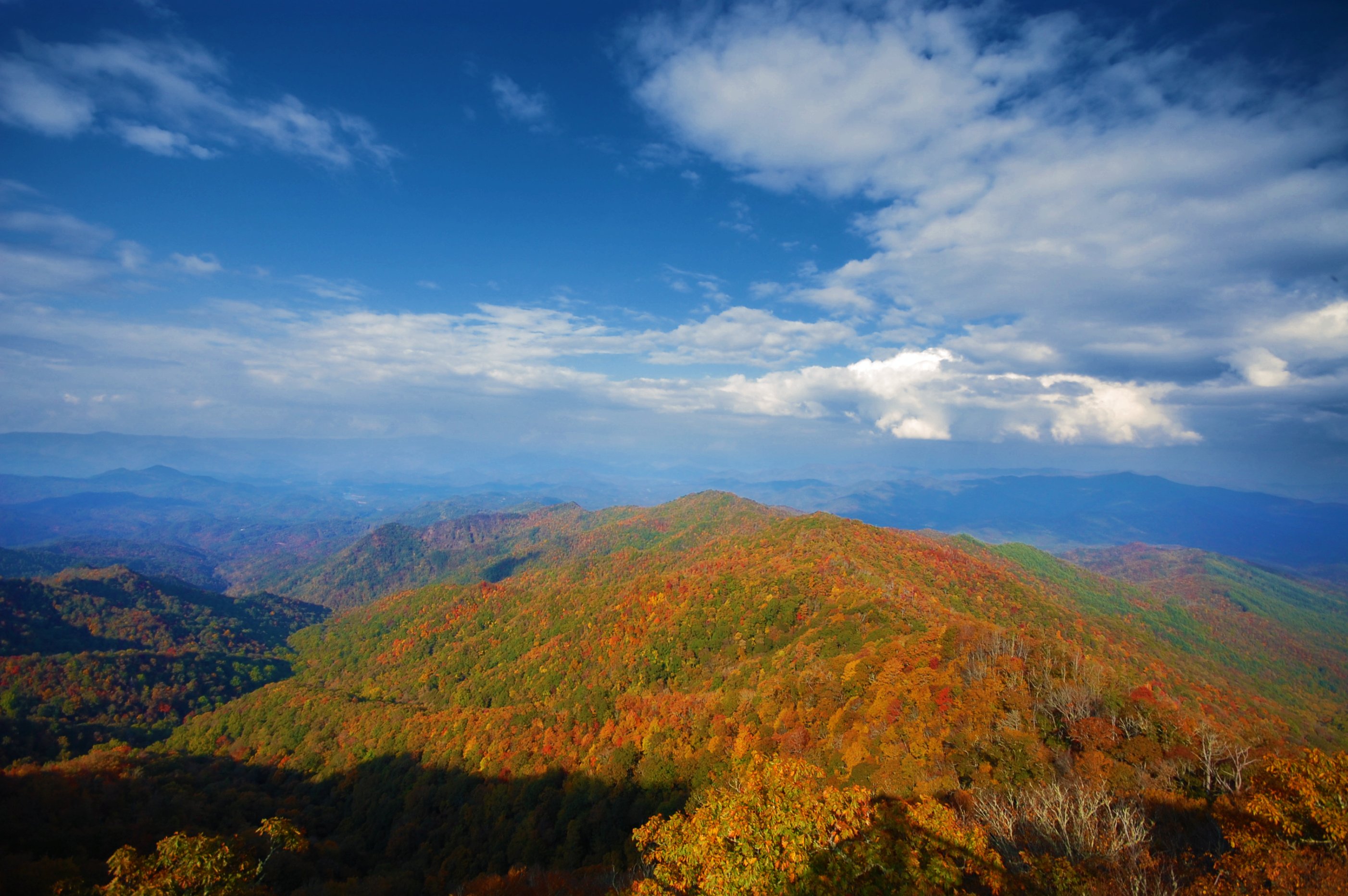
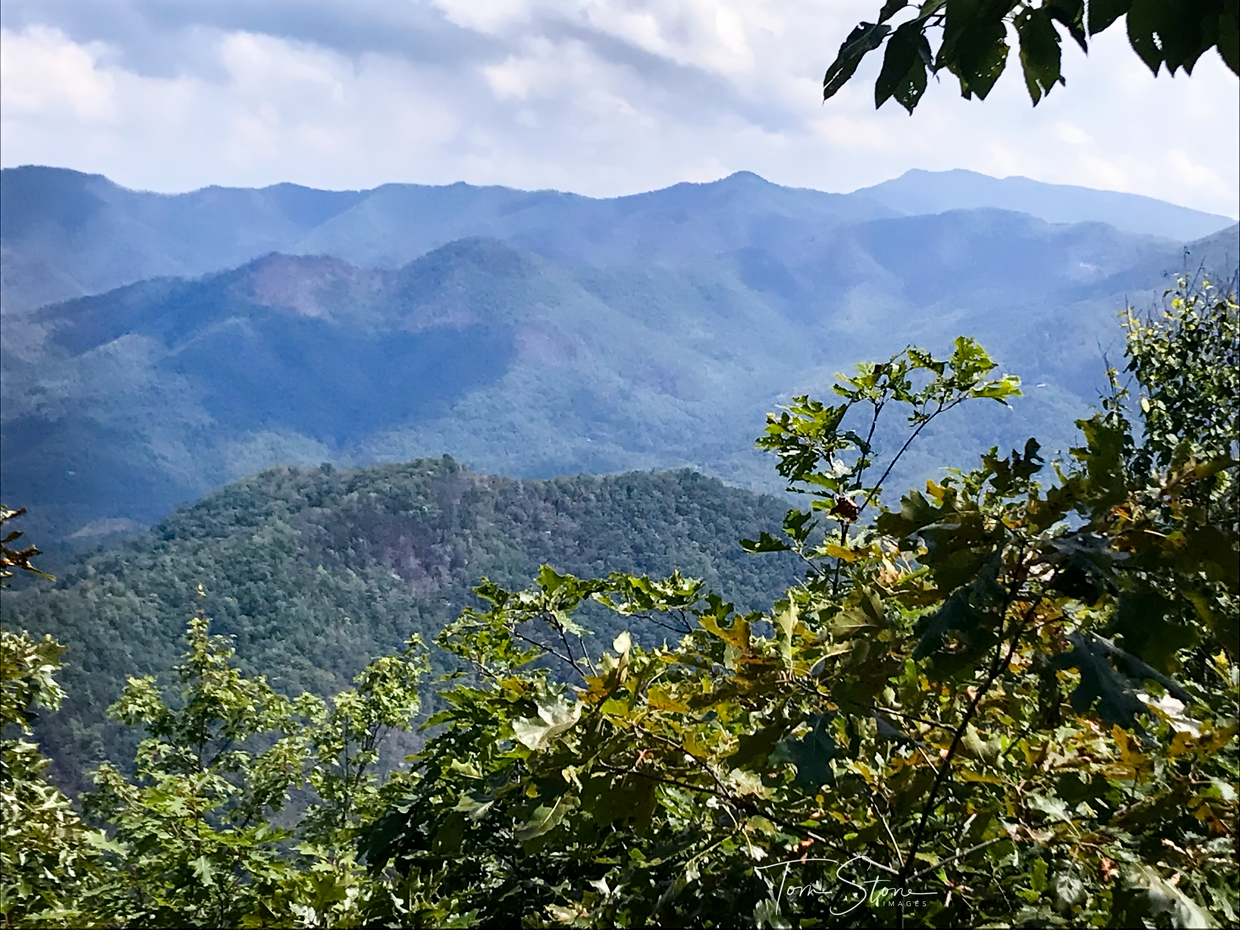
Summer Mountain View
nc northcarolina hdr firetower appalachiantrail civilianconservationcorps nantahalanationalforest maconcounty wayahbald topazadjust wayahroad forestservicerd69 wayahbaldfiretower
Wayah Bald Fire Tower - Franklin, North Carolina (HDR)
mountain view mountainview observation tower observationtower trees sky clouds country ruralforeat nantahala nationalforest nantahalanationalforest landscape northcarolina franklin usa nature mothernature outdoors greatoutdoors
Wayah Bald View
fallcolor 2017 color northcarolina nantahalarivergorge topton unitedstates us canonef24105mmf4lisusm
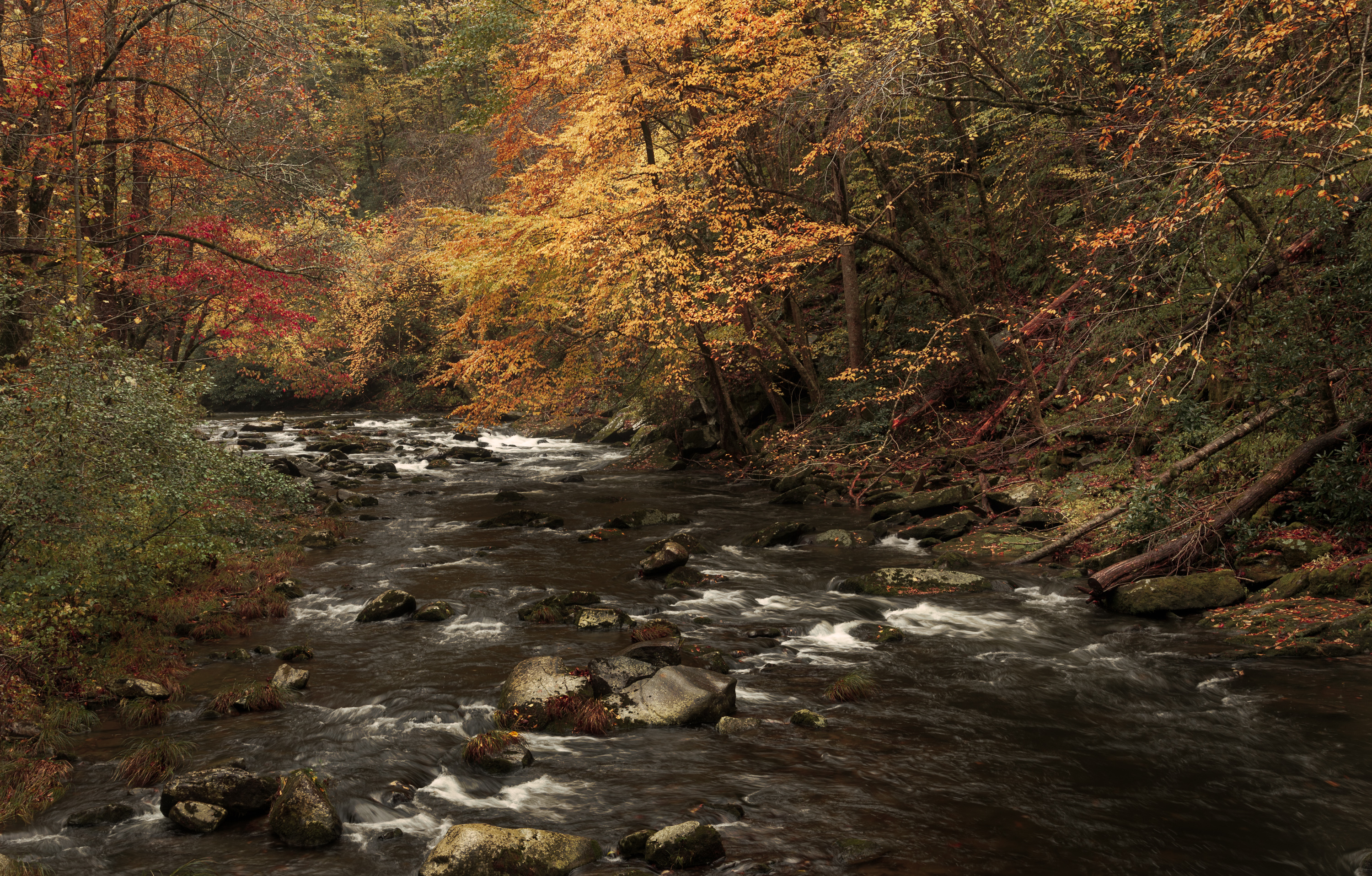
Bridge View of the Nantahala.
nantahala wesserbald
I made it back from Heaven
longexposure summer blackandwhite monochrome creek river waterfall rocks stream july northcarolina waterfalls nantahala niksoftware silverefexpro andrewvernon nikond300s
Where the Paths Parted
West View from Wesser Bald Observation Tower
park longexposure autumn trees sun mountain mountains color colour tree green fall water colors beautiful leaves yellow river season nationalpark timelapse nikon rocks exposure pretty kayak day colours seasons power view outdoor gorgeous south great north northcarolina wideangle run rapids southern rafting national rush kayaking land carolina change gorge noon smoky 18200 nantahala current blueridgemountains vr whitewaterrafting greatsmokymountains nantahalaoutdoorcenter greatsmokymountainsnationalpark 18200mm classfour 18200mmvr class4 classiv nantahalarivergorge d7000 landofthenoondaysun
Nantahala River Gorge - Land of the Noon Day Sun
bald sota siler summitsontheair elecraftkx3 ki4svm 88doublet w4cwm024 hardrock50
W4C/WM-024 - Siler Bald View
square squareformat hudson iphoneography instagramapp uploaded:by=instagram
#roadtrip #northcarolina #greatsmokeymountains#nationalpark#view#logcabin
View from Silar Bald
2010 greatsmokeymountainrailway d5000 roadtrip2010
Views from the train
square squareformat iphoneography instagramapp uploaded:by=instagram
#greatsmokeymountains #nationalpark #view #northcarolina #roadtrip
mountains clouds view
View from Cheoah Bald
Wayah Bald
water river fun friend whitewater kayaking nantahala whitewaterkayaking jacksonkayaks
David In His New Boat
bald appalachian nantahala cheoah
Cheoah Bald
canon 5dmarkiii canon24105mm nature october beauty longexposure nd filters northcarolina noc nantahalariver
Ahhhhh!
nc pano northcarolina panoramic hdr appalachiantrail nantahalanationalforest maconcounty wesserbald wesserbaldobservationtower topazadjust wesserbaldfiretower
Wesser Bald Observation Tower - Macon County, North Carolina (HDR)
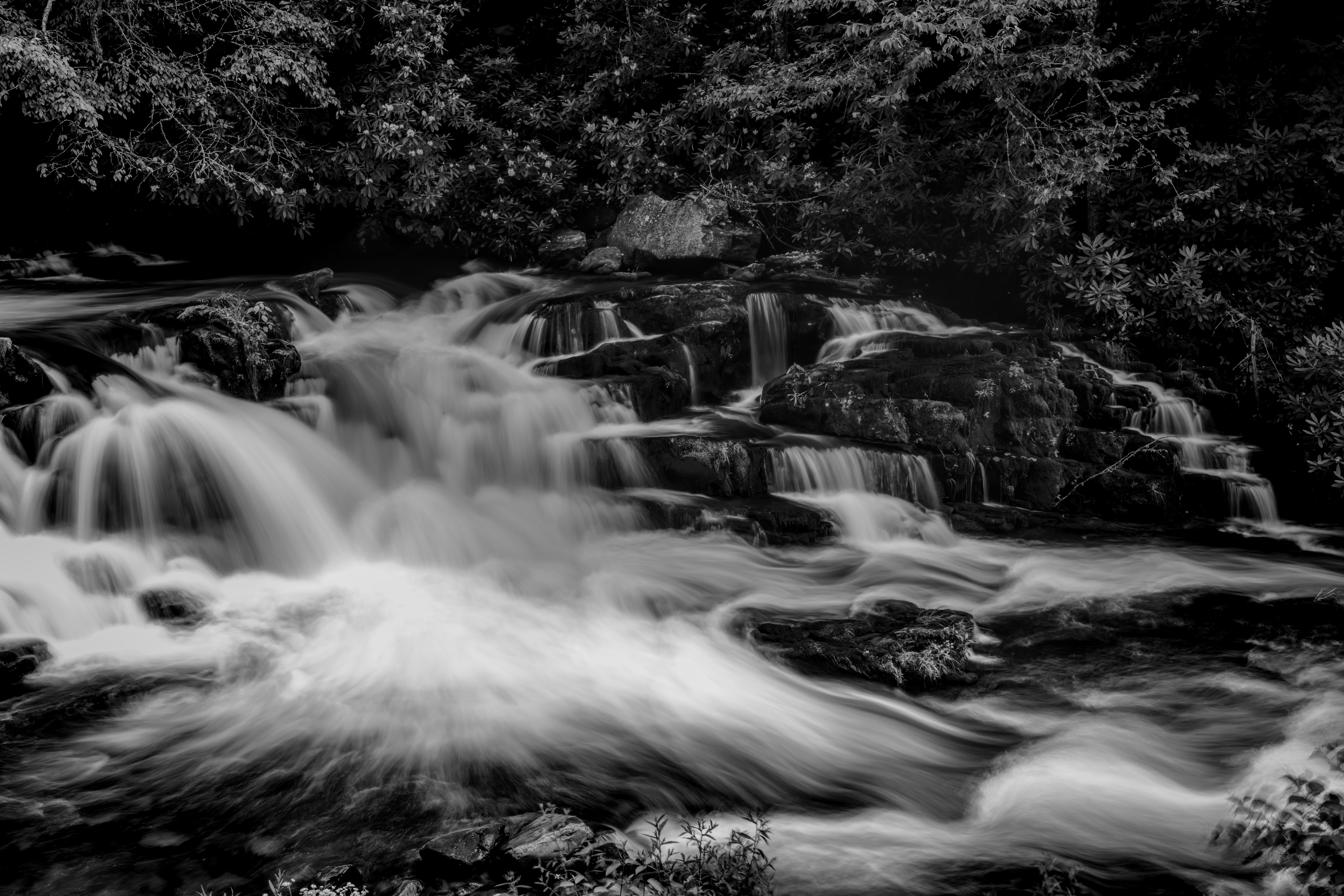
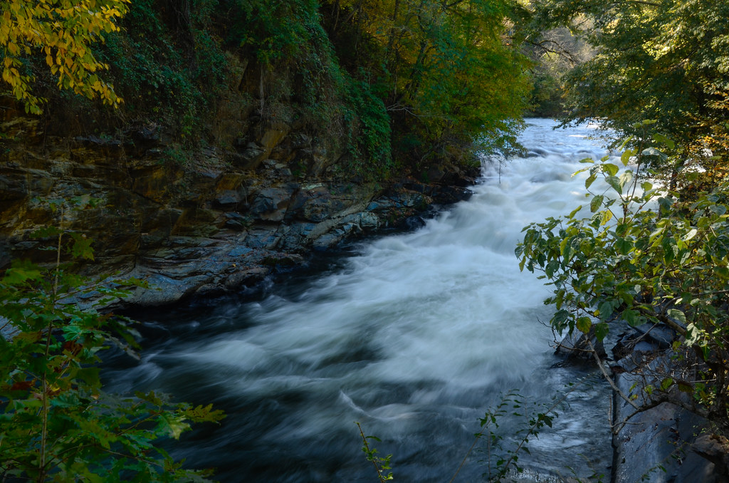
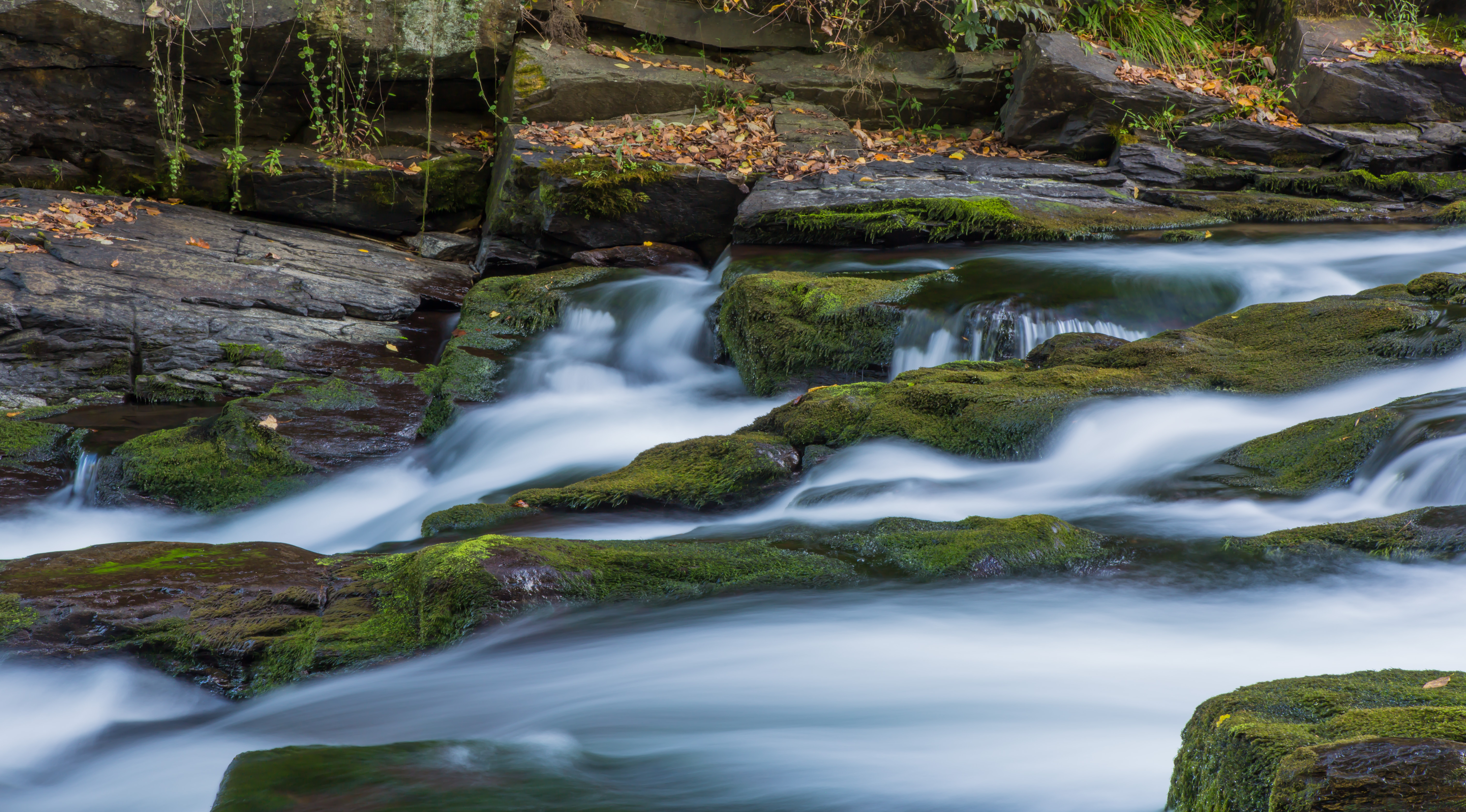
6d canon ef2470f28l eos landscape mountains naturalbeauty naturallight nature outdoor summer topazlabs water waterfall beautiful river roadtrip rocks travel trees
White Water
Well, this is obviously going to be popular
Wesser Bald Jeep Trail
railroad mountain train landscape unitedstates diesel july northcarolina greatsmokymountainrailroad 2014 brysoncity
GSMR Rounding The Bend
nantahalanationalforest nantahala appalachiantrail nantahalagorge hiking
Nantahala Gorge
longexposure blackandwhite mist fog river landscape rocks andrews fineart northcarolina gorge nantahala nantahalagorge niksoftware silverefexpro nikond300s
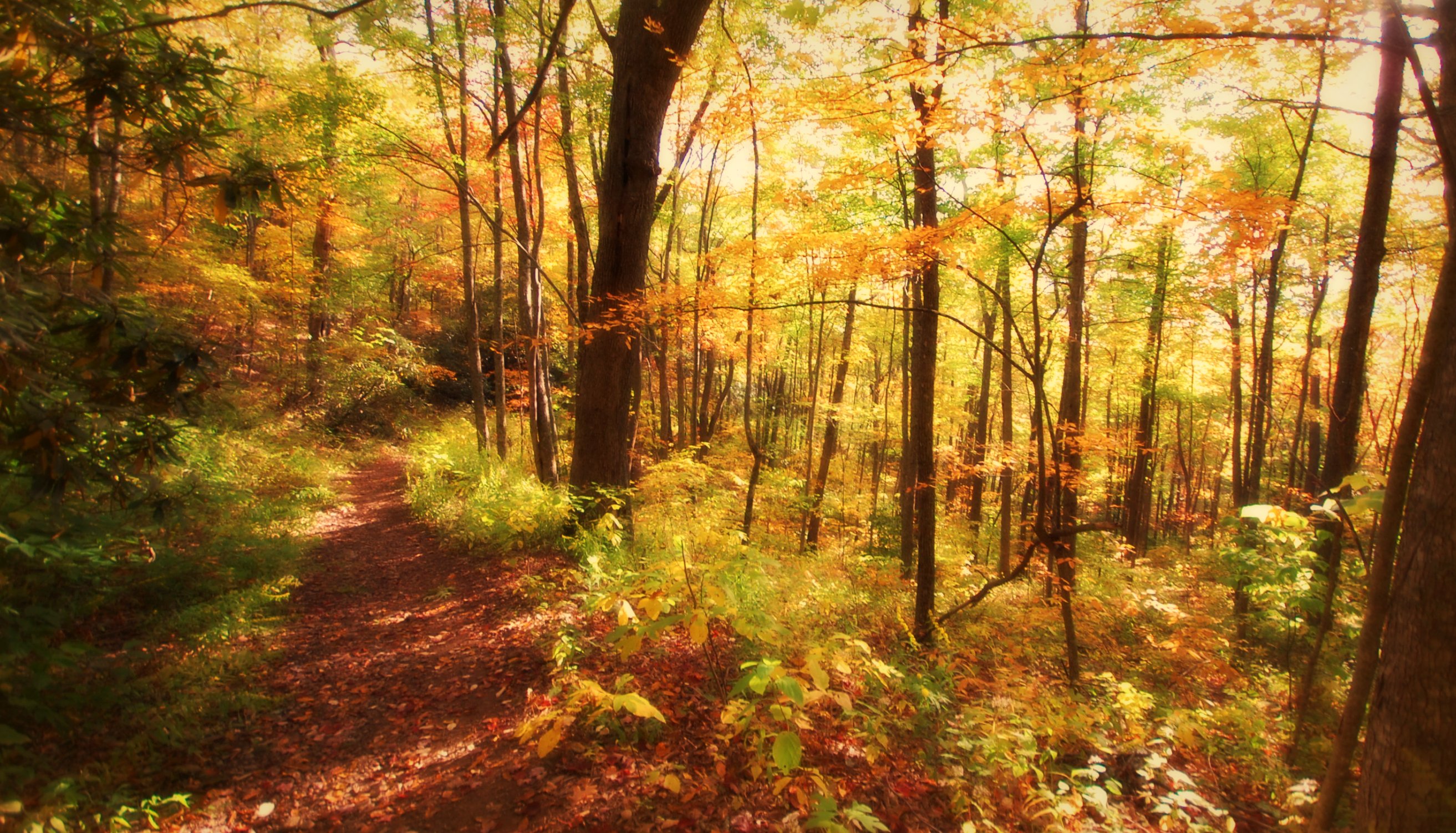
One of my Favorite Spots
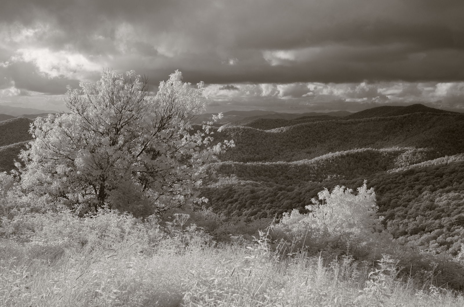
westernnorthcarolina nantahalanationalforest appalachiantrail infrared pentax k5 smcpentax13535mm iridientdeveloper affinityphoto
Mountain waves
appalachiantrail northcarolina nantahalanationalforest
Cheroah Bald on AT
instagram
nantahala outdoor center #river #rafting #mountains
square squareformat iphoneography instagramapp uploaded:by=instagram
Big Laurel Falls #franklin #standingindian #appalachia #blueridgecountry #welovenc #we_see_wnc #wilderness_culture #biglaurelfalls #diamondbrand_outdoors #cmc100challenge #stream #falls #explore #westernnorthcarolina #landofwaterfalls
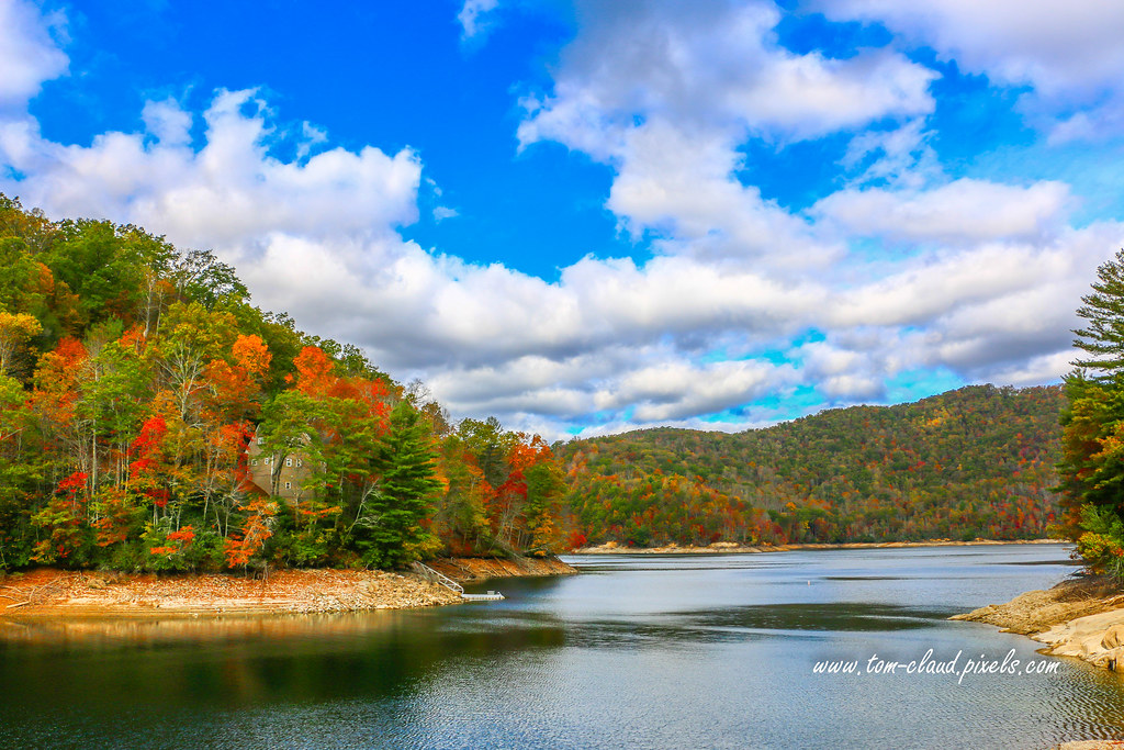
home house lake lakefront lakeside nantahalalake mountain mountains rural country landscape clouds cloudy sky bluesky weather nature mothernature fall foliage fallfoliage fallcolors water trees northcarolina franklin usa
Home on the Lake #2
Nantahala Outdoor Center
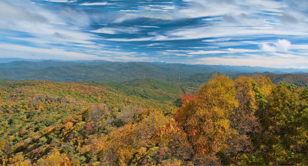
Great Smoky Mountains of NC.
2018 drone may nantahala northcaroline
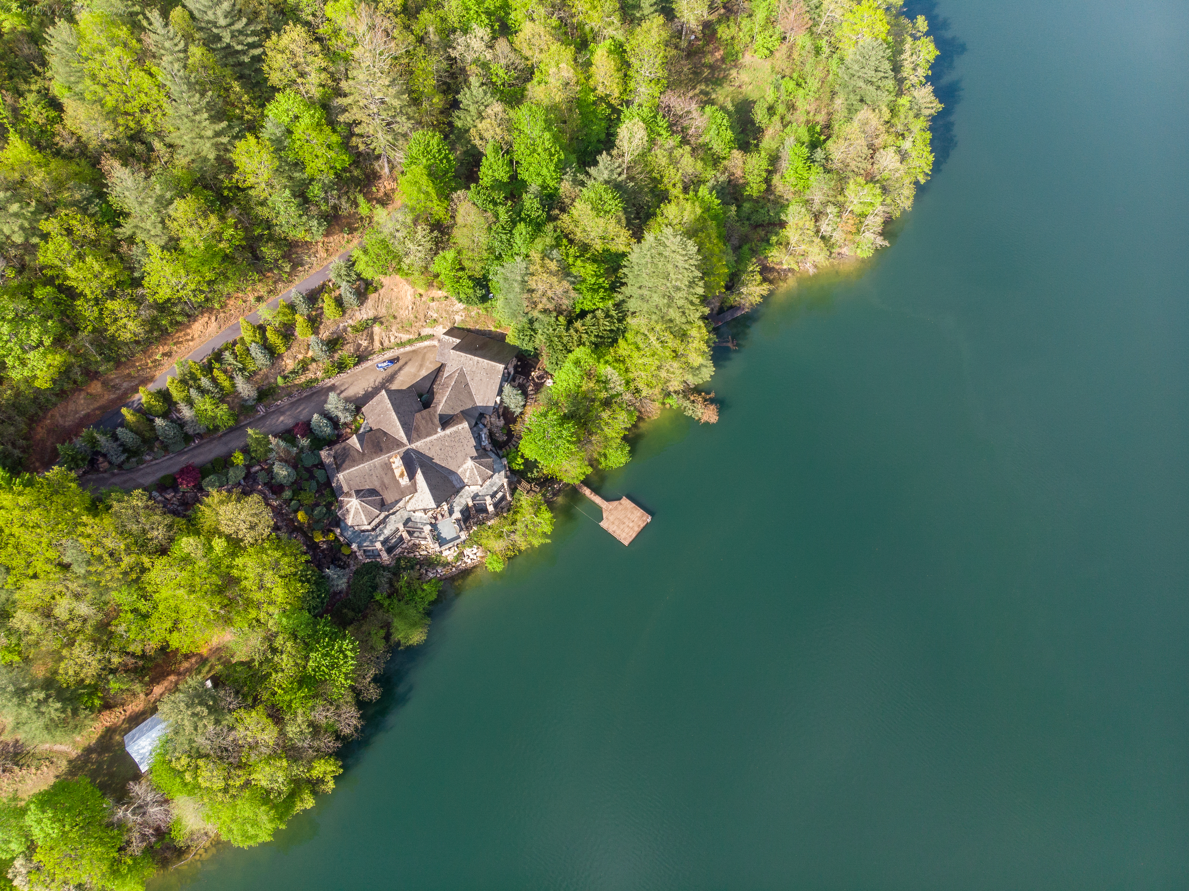
6 million dollar cabin