Elevation of Birchwood, TN, USA
Location: United States > Tennessee > Hamilton County >
Longitude: -84.992173
Latitude: 35.362571
Elevation: 232m / 761feet
Barometric Pressure: 99KPa
Elevation Map:
Satellite Map:
Related Photos:

Rhea County Courthouse Corner View - Dayton, TN

Rhea County Courthouse Side View - Dayton, TN

Rhea County Courthouse Street View- Dayton, TN

Rhea County Courthouse Sidewalk View - Dayton, TN
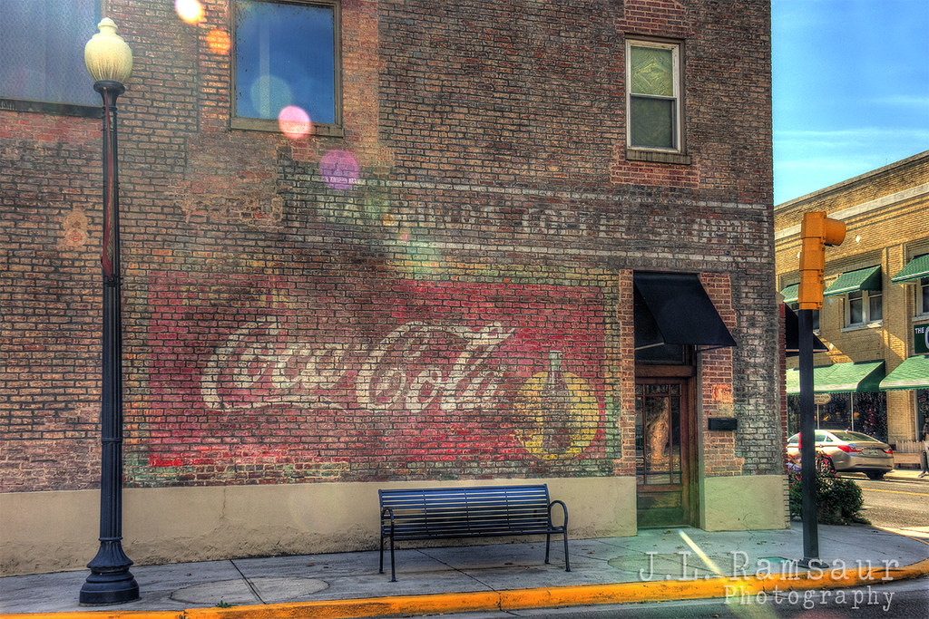
Mansfield's Coffee Shoppe & Coca-Cola Ghost Sign - Dayton, TN
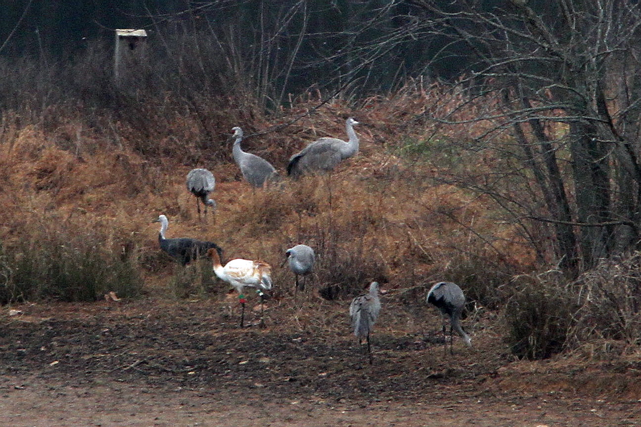
Hooded, Whooping and Sandhill Cranes
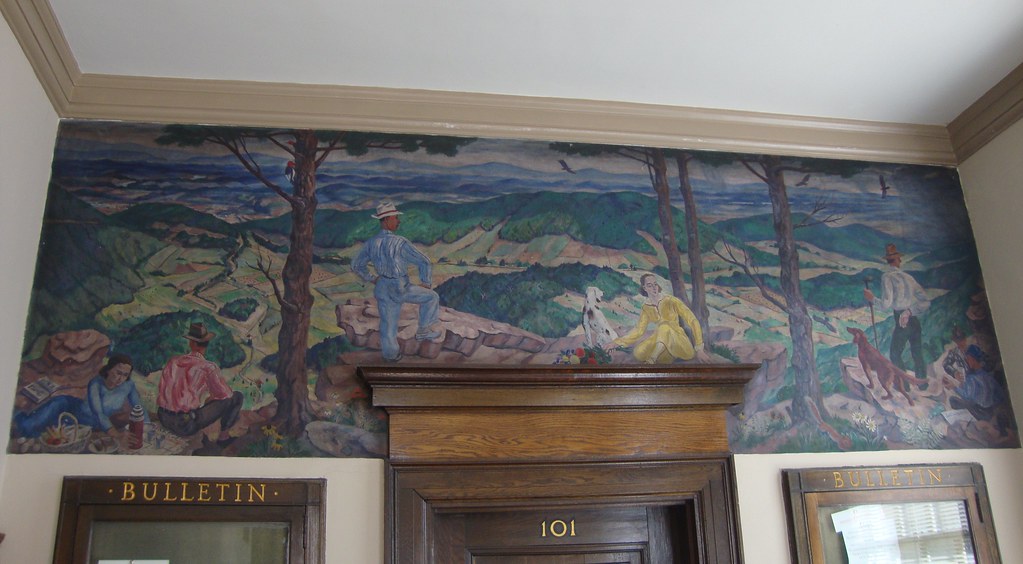
Old Post Office 37321 (Dayton, Tennessee)
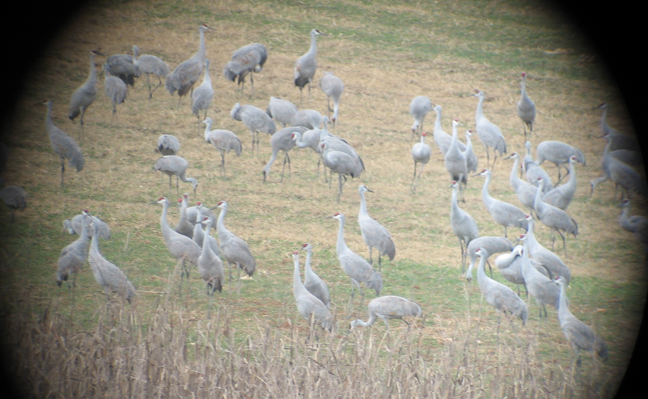
Sandhill Cranes

Dragon Cloud
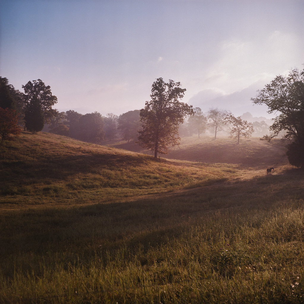
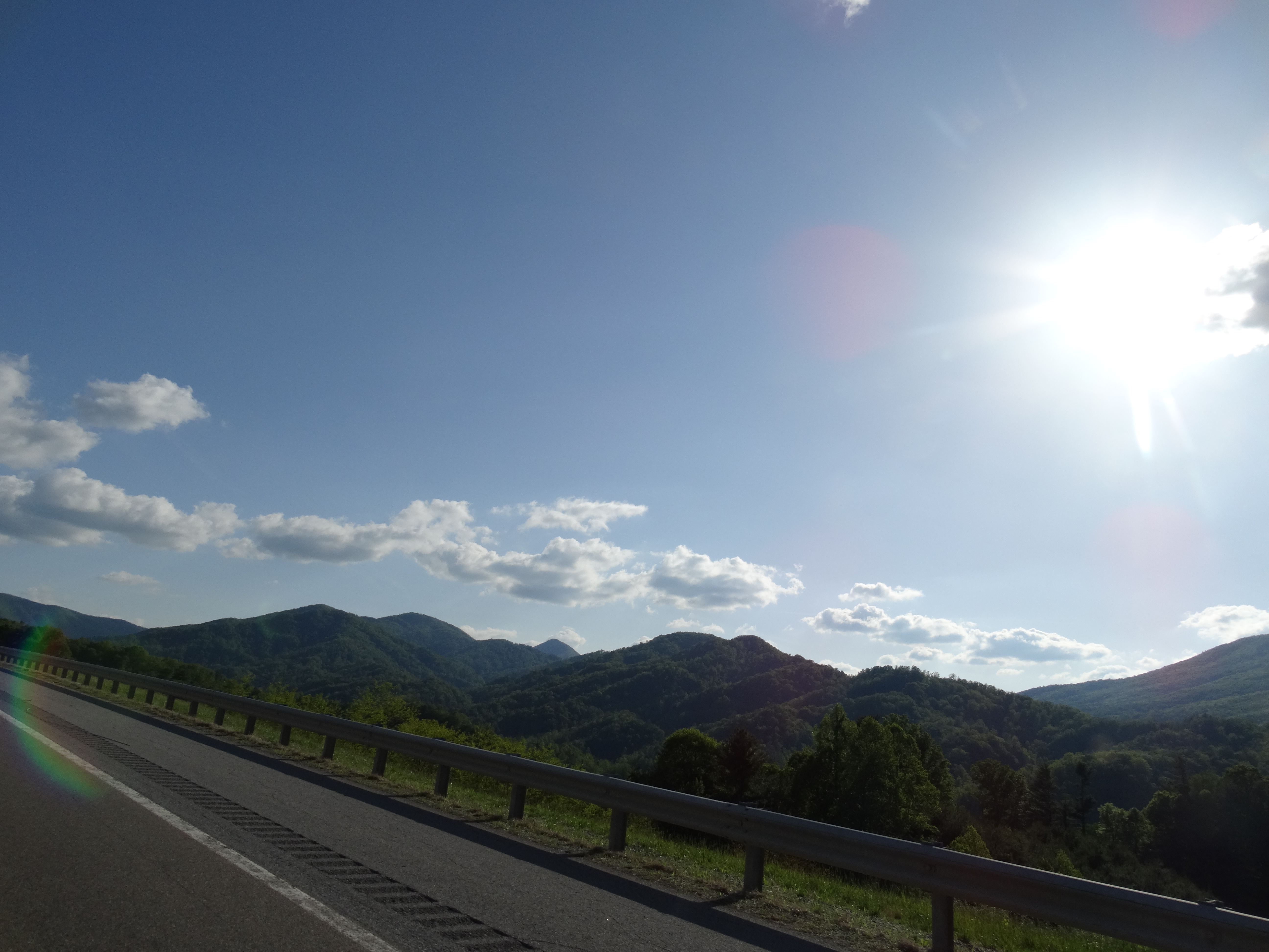
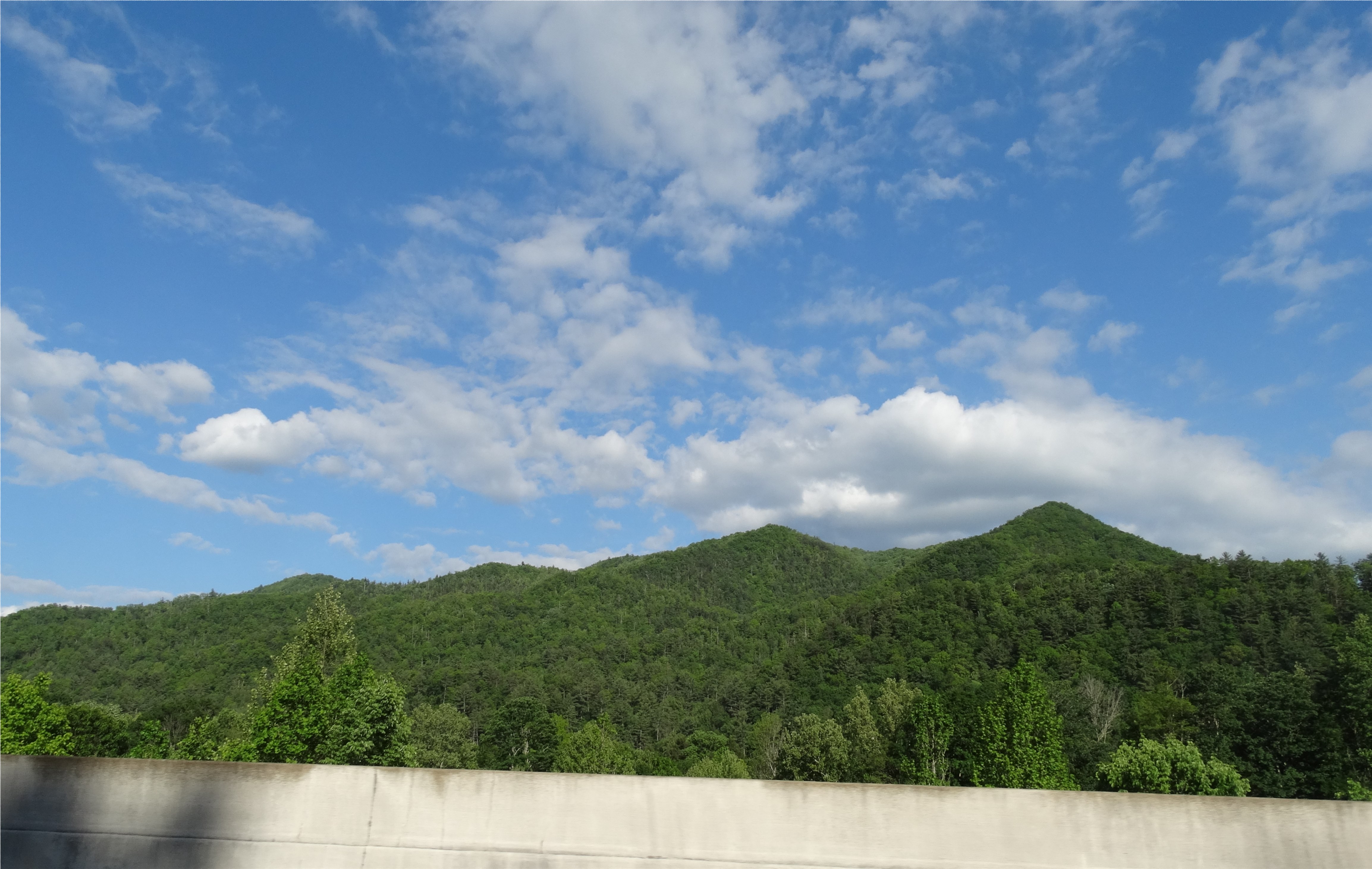
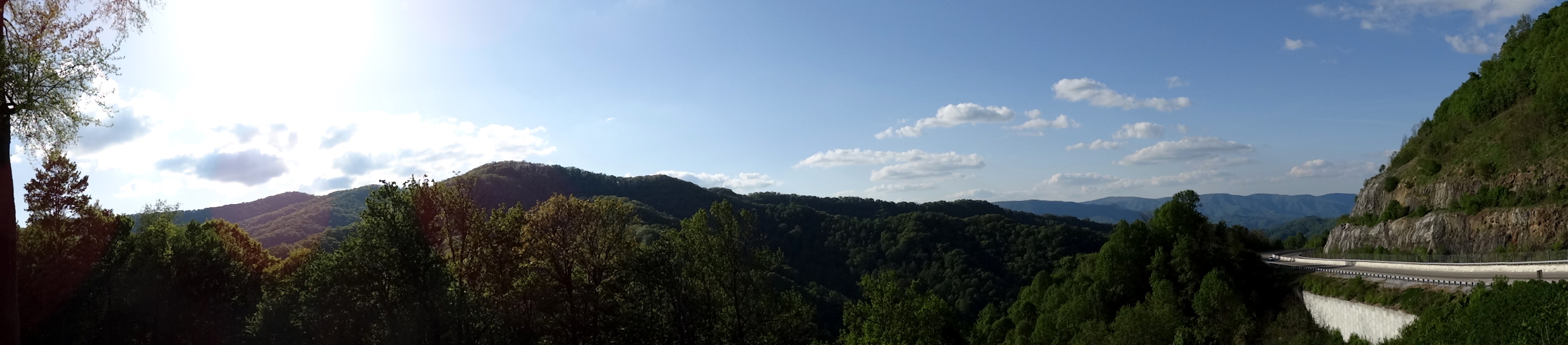
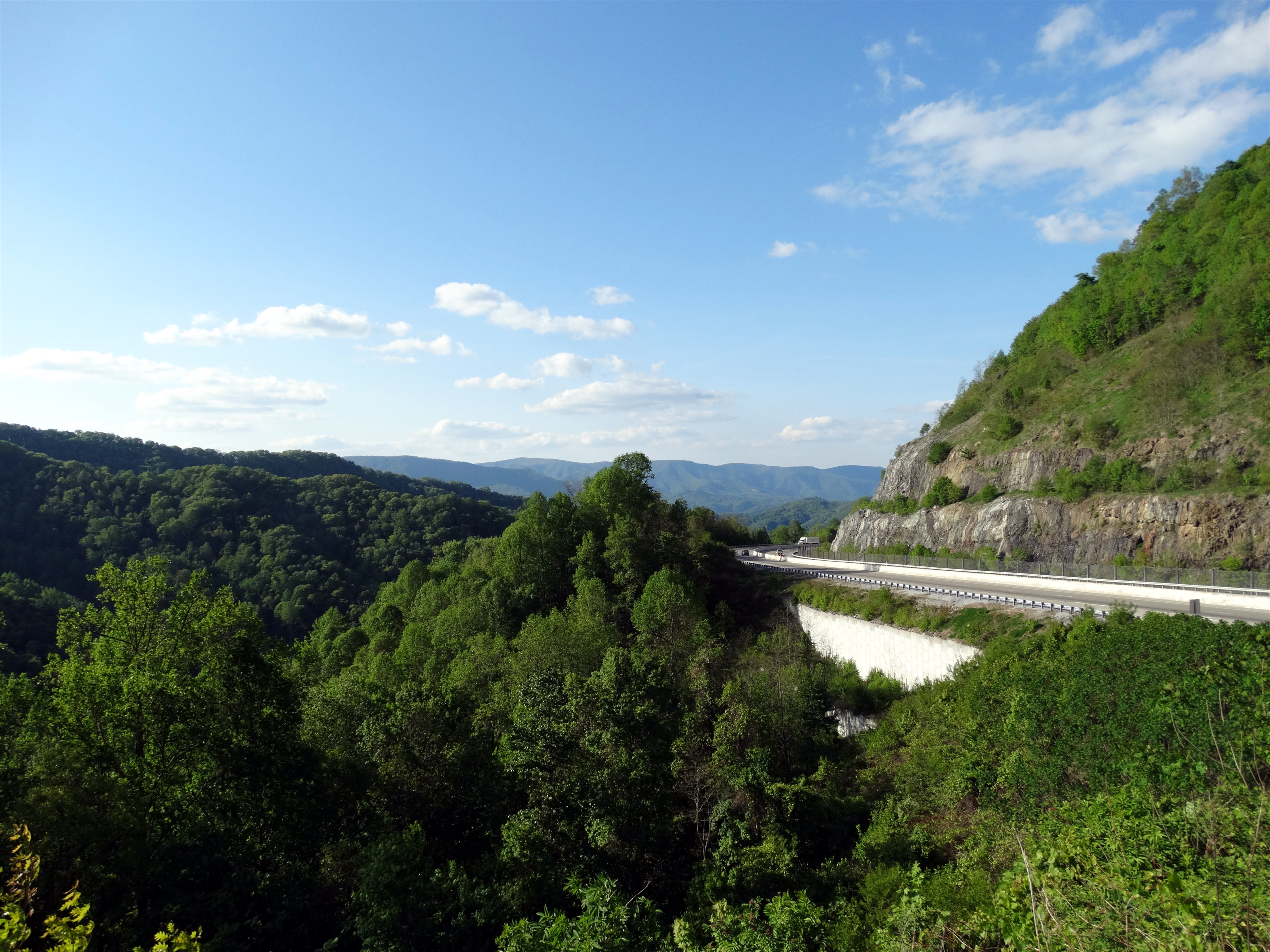
Rolling Hills
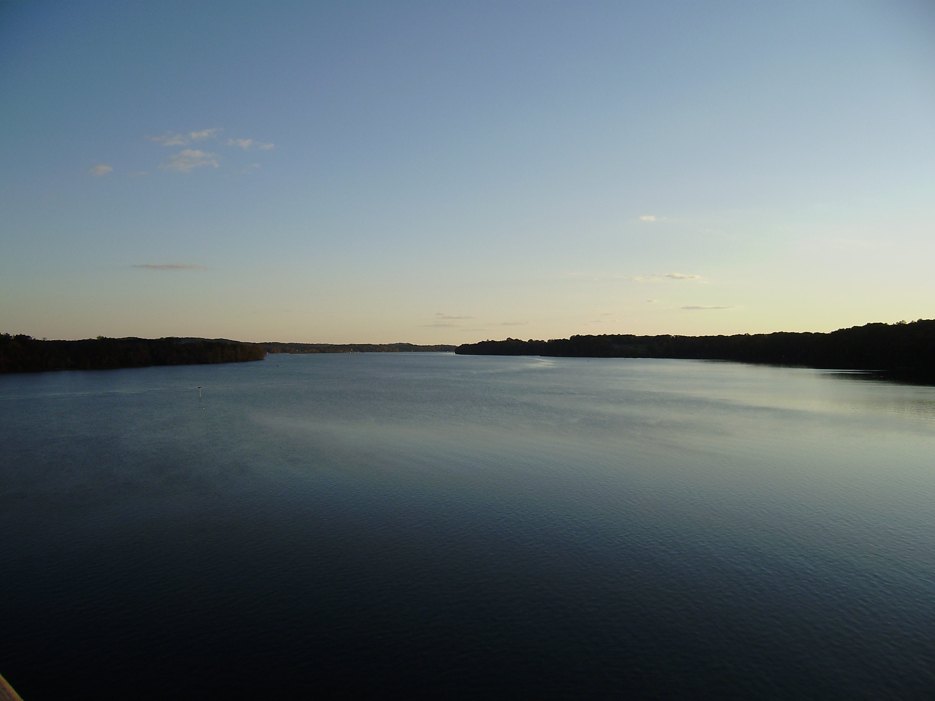
tn river
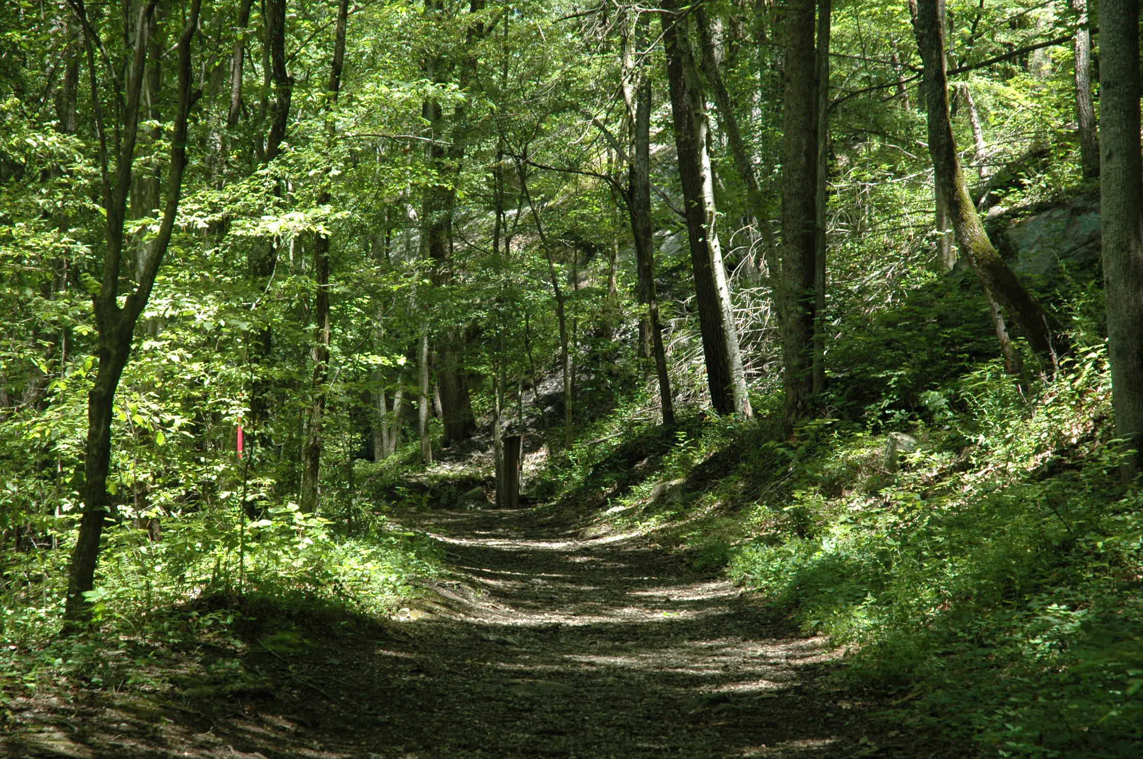
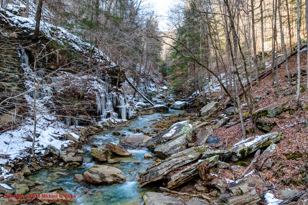
Possum Creek Gorge Section of the Cumberland Trail
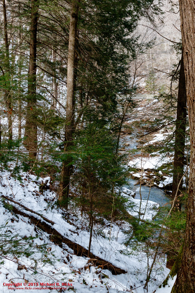
Rock Creek Gorge Section of the Cumberland Trail
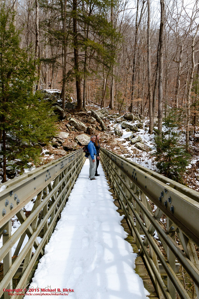
Little Possum Creek Bridge - Possum Creek Gorge Section of the Cumberland Trail
Tennessee (9)
Little Possum Creek Bridge - Possum Creek Gorge Section of the Cumberland Trail
june 17,2007
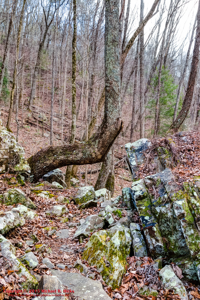
Little Possum Creek - Possum Creek Gorge Section of the Cumberland Trail
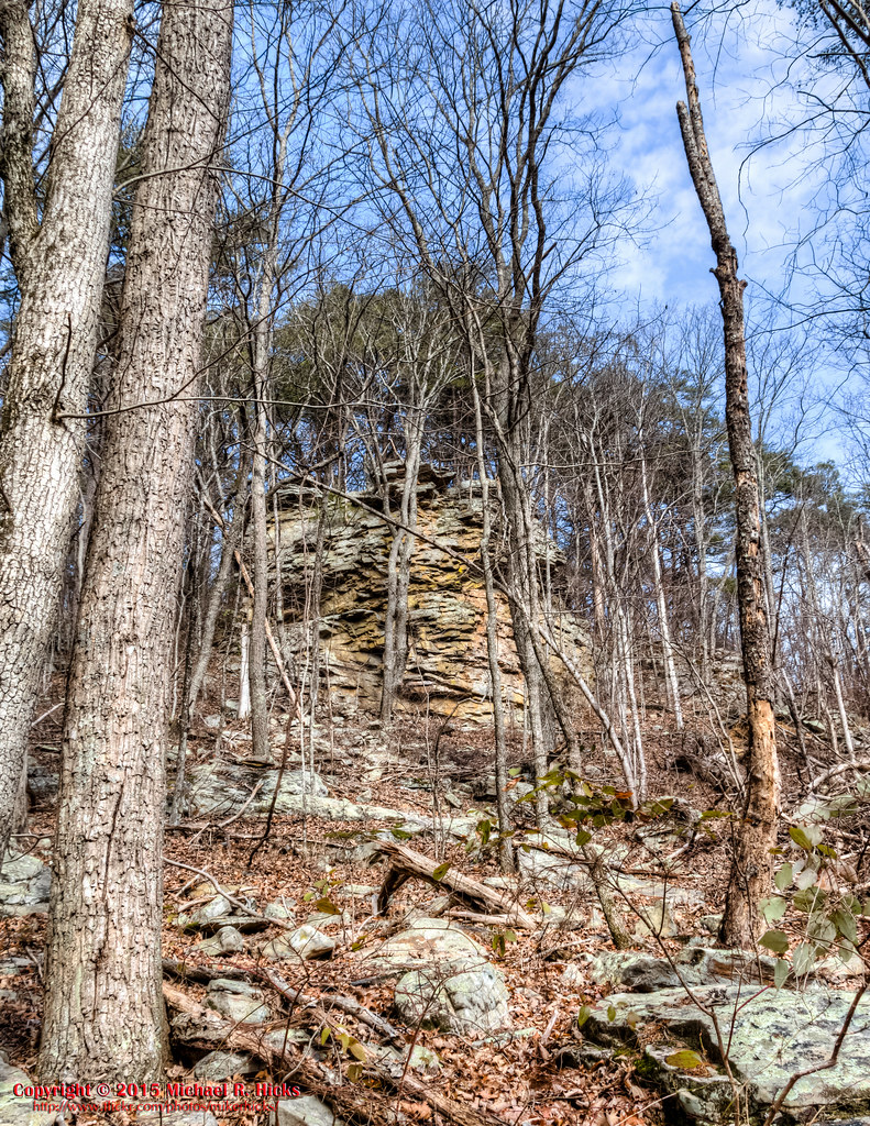
Rock Creek Gorge Section of the Cumberland Trail
Tennessee (5)
Rock Creek Gorge Section of the Cumberland Trail
Tennessee (15)
DSC_0213.jpg
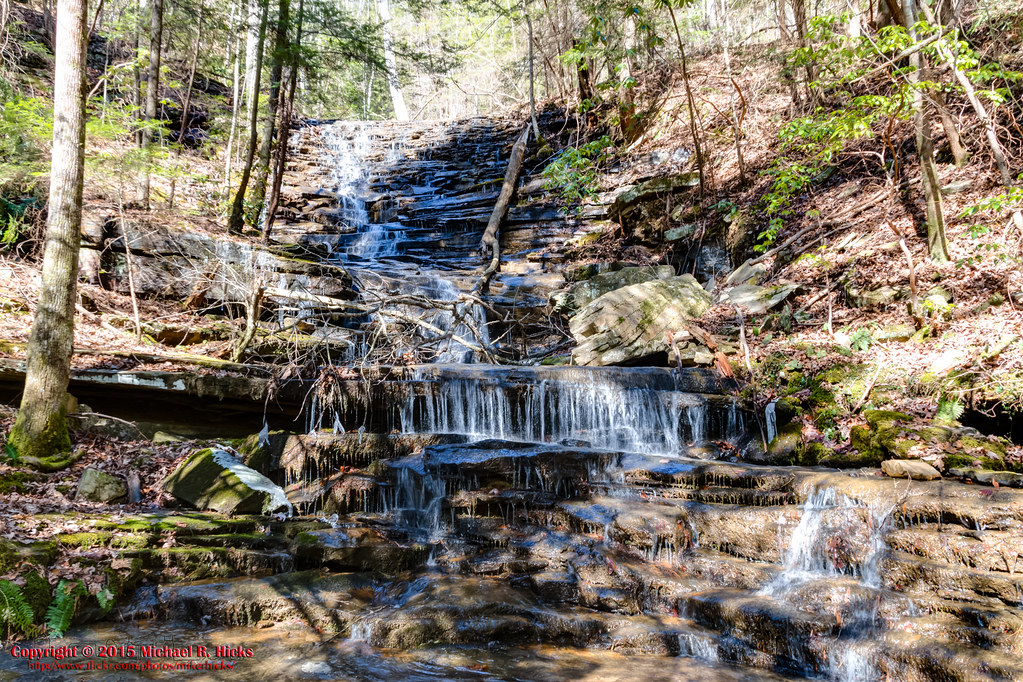
Leggett Branch Cascades - Rock Creek Gorge Section of the Cumberland Trail

Tennessee (6)
Tennessee (12)
Topographic Map of Birchwood, TN, USA
Find elevation by address:

Places near Birchwood, TN, USA:
450 Mcarthur Ln
485 Mcarthur Ln
122 River Place Point
159 Lake Forest Dr
1169 Charles Rd
3914 Windward Ln
3915 Windward Ln
3939 Windward Ln
3943 Windward Ln
3947 Windward Ln
3923 Windward Ln
3927 Windward Ln
3929 Windward Ln
3931 Windward Ln
3935 Windward Ln
3912 Reaching Way
3923 Reaching Way
3929 Reaching Way
4401 Old Bunker Hill Rd
Riverview Dr, Dayton, TN, USA
Recent Searches:
- Elevation of Corso Fratelli Cairoli, 35, Macerata MC, Italy
- Elevation of Tallevast Rd, Sarasota, FL, USA
- Elevation of 4th St E, Sonoma, CA, USA
- Elevation of Black Hollow Rd, Pennsdale, PA, USA
- Elevation of Oakland Ave, Williamsport, PA, USA
- Elevation of Pedrógão Grande, Portugal
- Elevation of Klee Dr, Martinsburg, WV, USA
- Elevation of Via Roma, Pieranica CR, Italy
- Elevation of Tavkvetili Mountain, Georgia
- Elevation of Hartfords Bluff Cir, Mt Pleasant, SC, USA