Elevation of Billings, MT, USA
Location: United States > Montana > Yellowstone County > Billings >
Longitude: -108.39421
Latitude: 45.5576428
Elevation: 1211m / 3973feet
Barometric Pressure: 88KPa
Elevation Map:
Satellite Map:
Related Photos:

2016 4-2 Horses south of Billings on Hwy 416 IMG_0926

green, or blue?
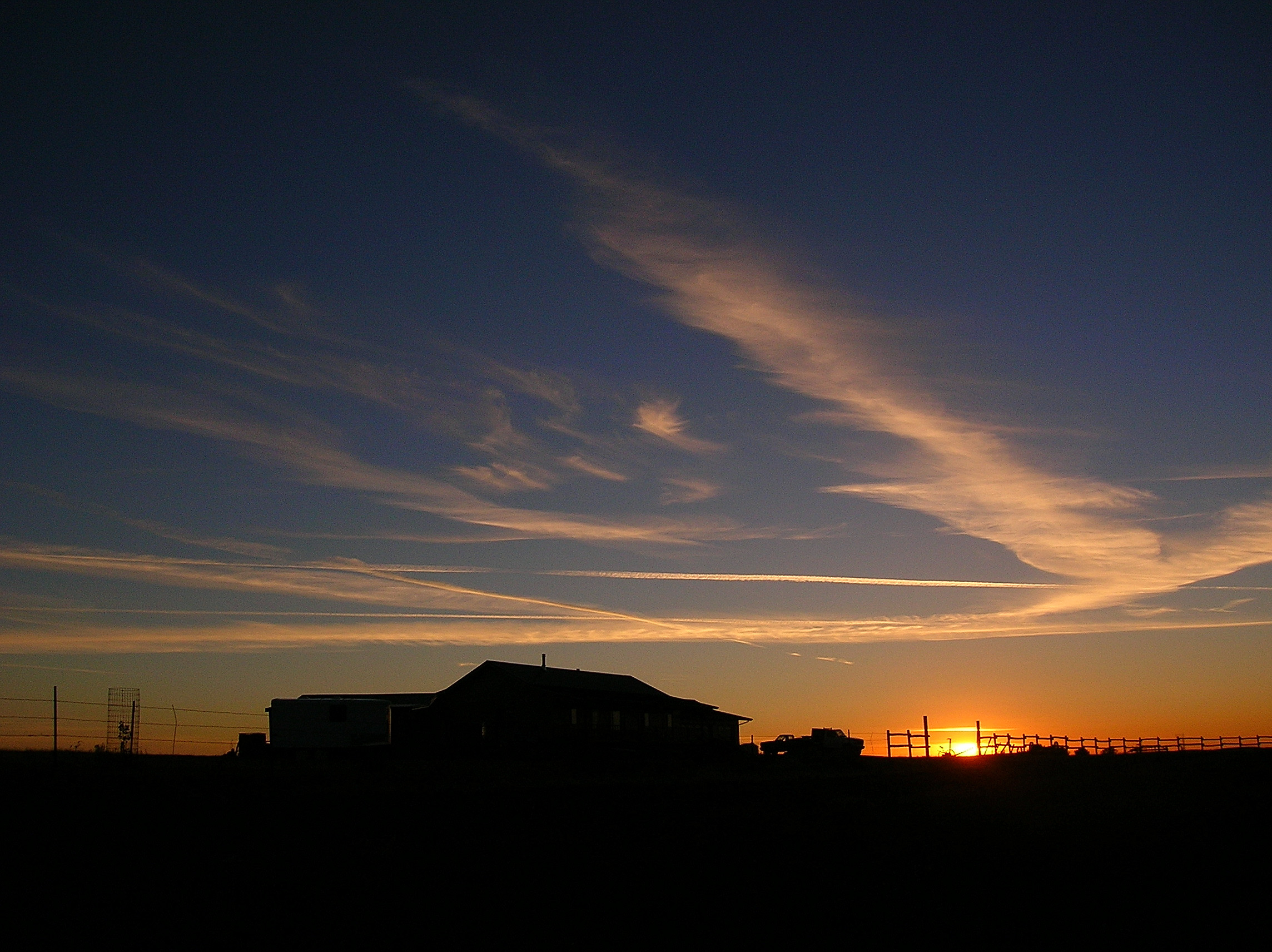
Sunset at the Valley Ranch
Topographic Map of Billings, MT, USA
Find elevation by address:

Places near Billings, MT, USA:
1929 Weldon Rd
3401 Coburn Rd
Pryor
Chief Plenty Coups State Park
Hillcrest Road & Collier Road
547 Garden Ave
Yellowstone County
1713 Hollyhock St
1444 Chesapeake Ln
Billings
2511 1st Ave N
Central - Terry
543 Yellowstone Ave
1138 Lynn Ave
1016 Terry Ave
28 Jubilee St
Tabriz Drive
1266 Grubstake Cir
Avenue C
Heights
Recent Searches:
- Elevation of Corso Fratelli Cairoli, 35, Macerata MC, Italy
- Elevation of Tallevast Rd, Sarasota, FL, USA
- Elevation of 4th St E, Sonoma, CA, USA
- Elevation of Black Hollow Rd, Pennsdale, PA, USA
- Elevation of Oakland Ave, Williamsport, PA, USA
- Elevation of Pedrógão Grande, Portugal
- Elevation of Klee Dr, Martinsburg, WV, USA
- Elevation of Via Roma, Pieranica CR, Italy
- Elevation of Tavkvetili Mountain, Georgia
- Elevation of Hartfords Bluff Cir, Mt Pleasant, SC, USA