Elevation of Billetts Bridge Rd, Camden, NC, USA
Location: United States > North Carolina > Camden County > Shiloh > Camden >
Longitude: -76.127442
Latitude: 36.3022051
Elevation: 2m / 7feet
Barometric Pressure: 101KPa
Elevation Map:
Satellite Map:
Related Photos:

fishing at sunset

new life 4 28 2013 804
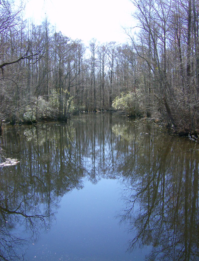
Sawyer's Creek
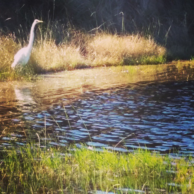
Egret at Cape Hatteras. #mayfair #OBX #latergram
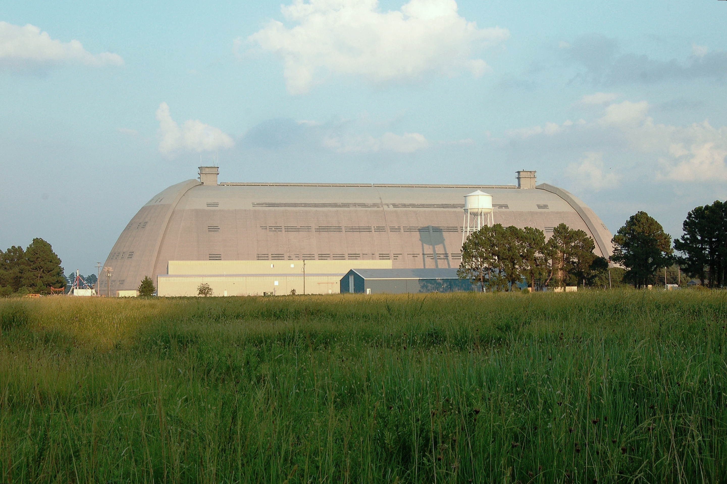
U. S. Navy, (former) Weeksville Naval Air Station- LTA , North Carolina, Pasquotank County

_MG_4506_7_8_tonemapped-2.jpg
2013-10-26 Elizabeth City (5) derigible retrieval

Currituck High School Football

Elizabeth City, NC
.

Elizabeth City, NC
.

.
.
Pics from the Carolina Cup International Regatta

BC10-12-04d
Topographic Map of Billetts Bridge Rd, Camden, NC, USA
Find elevation by address:

Places near Billetts Bridge Rd, Camden, NC, USA:
505 Japonica Dr
206 Japonica Dr
Windy Heights Drive
104 Dogwood Dr
Wisteria Drive
128 Tulip Tree Dr
Perkins Rd, Camden, NC, USA
Courthouse
890 N Carolina Hwy 343 S
115 Bayshore Dr
Shiloh
S, Shiloh, NC, USA
Camden
11 Bateman Dr
US-, Camden, NC, USA
Trotman Rd, Shawboro, NC, USA
599 Trotman Rd
1037 N Carolina Hwy 343 S
2031 Rivershore Rd
128 Chancey Dr
Recent Searches:
- Elevation of Corso Fratelli Cairoli, 35, Macerata MC, Italy
- Elevation of Tallevast Rd, Sarasota, FL, USA
- Elevation of 4th St E, Sonoma, CA, USA
- Elevation of Black Hollow Rd, Pennsdale, PA, USA
- Elevation of Oakland Ave, Williamsport, PA, USA
- Elevation of Pedrógão Grande, Portugal
- Elevation of Klee Dr, Martinsburg, WV, USA
- Elevation of Via Roma, Pieranica CR, Italy
- Elevation of Tavkvetili Mountain, Georgia
- Elevation of Hartfords Bluff Cir, Mt Pleasant, SC, USA