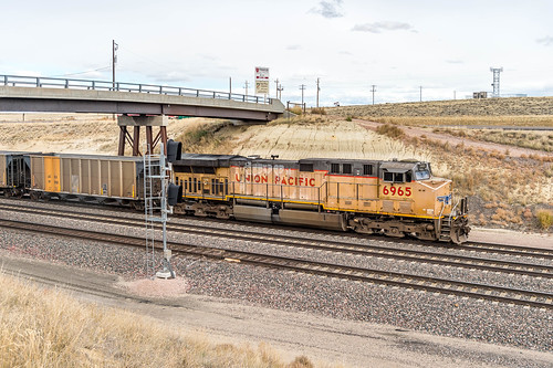
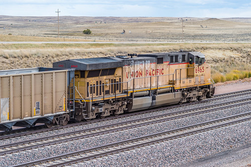
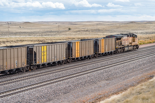
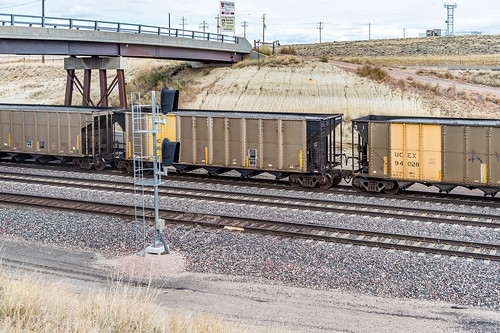
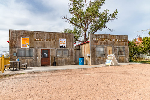
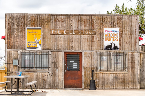
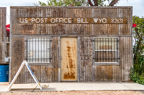
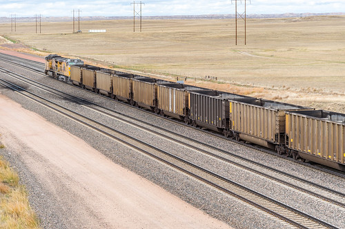
Elevation of Bill, Wyoming, USA
Location: United States > Wyoming > Converse County > Douglas >
Longitude: -105.26025
Latitude: 43.2319119
Elevation: 1434m / 4705feet
Barometric Pressure: 85KPa
Related Photos:
Topographic Map of Bill, Wyoming, USA
Find elevation by address:

Places near Bill, Wyoming, USA:
Bill
Unnamed Road
Converse County
332 N 4th St
Douglas
910 Washington St
26 Sierra
17 Mountainview Rd
Irvine Rd, Douglas, WY, USA
Main St Lost Spring, Shawnee, WY, USA
Orin
20 Mile Rd, Lance Creek, WY, USA
Lance Creek
Esterbrook Rd, Douglas, WY, USA
Glendo
0 Cedar Top Rd
Manville
Anvil Peak
Niobrara County
Esterbrook
Recent Searches:
- Elevation of Corso Fratelli Cairoli, 35, Macerata MC, Italy
- Elevation of Tallevast Rd, Sarasota, FL, USA
- Elevation of 4th St E, Sonoma, CA, USA
- Elevation of Black Hollow Rd, Pennsdale, PA, USA
- Elevation of Oakland Ave, Williamsport, PA, USA
- Elevation of Pedrógão Grande, Portugal
- Elevation of Klee Dr, Martinsburg, WV, USA
- Elevation of Via Roma, Pieranica CR, Italy
- Elevation of Tavkvetili Mountain, Georgia
- Elevation of Hartfords Bluff Cir, Mt Pleasant, SC, USA
