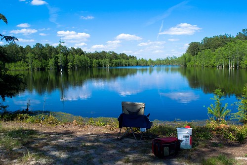
Elevation of Bill Hall Rd, Tar Heel, NC, USA

Location: United States > North Carolina > Bladen County > Hollow > Tar Heel >

Longitude: -78.823318

Latitude: 34.835245

Elevation: 11m / 36feet

Barometric Pressure: 101KPa

Elevation Map:

elevation map of Bill Hall Rd, Tar Heel, NC, USA

Satellite Map:

Satellite map of Bill Hall Rd, Tar Heel, NC, USA

Related Photos:

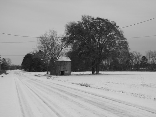
snow abandoned northcarolina tobacco tobaccobarn cumberlandcounty grayscreek hbullardroad
H. Bullard Road
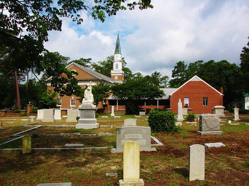
cemetery stpauls northcarolina presbyterianchurchusa oldstageroad robesoncounty stpaulspresbyterianchurch
St. Pauls Presbyterian Cemetery (2)
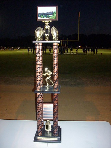
northcarolina trophy interstate95 cumberlandcounty hopemills southviewhighschool battleofthebridge bearsstadium grayscreekbears southviewtigers grayscreekhighschool
Battle of the Bridge trophy
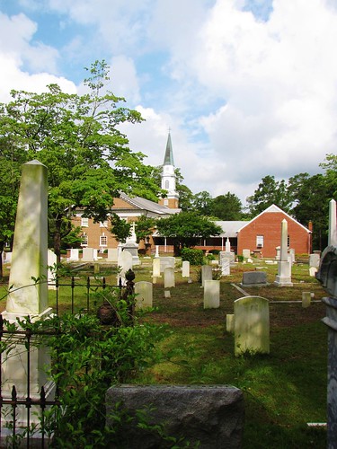
cemetery stpauls northcarolina presbyterianchurchusa oldstageroad robesoncounty stpaulspresbyterianchurch
St. Pauls Presbyterian Cemetery
northcarolina cumberlandcounty hopemills southviewhighschool battleofthebridge bearsstadium grayscreekbears southviewtigers grayscreekhighschool
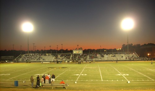
Bears Stadium
northcarolina cheerwine cumberlandcounty hopemills southviewhighschool battleofthebridge bearsstadium homeofthebears grayscreekbears southviewtigers grayscreekhighschool
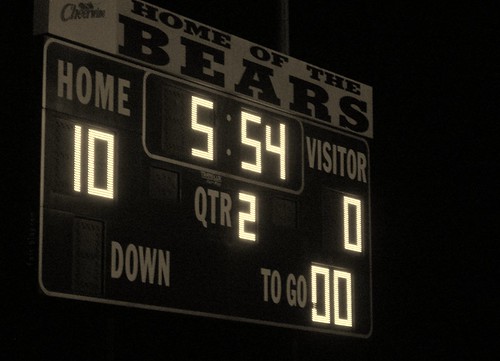
Home of the Bears
northcarolina cumberlandcounty hopemills southviewhighschool battleofthebridge bearsstadium grayscreekbears southviewtigers grayscreekhighschool
South View Tigers flag
northcarolina cumberlandcounty hopemills southviewhighschool battleofthebridge bearsstadium grayscreekbears southviewtigers grayscreekhighschool grayscreekmarchingband
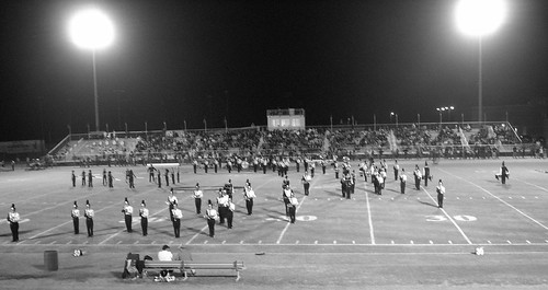
Grays Creek Band
dragonflies northcarolina horseshoelake odes
Golden-winged Skimmer Male 2
fayetteville speedway
Fayetteville Speedway
blue trees sky highway rust view steel north carolina oblique
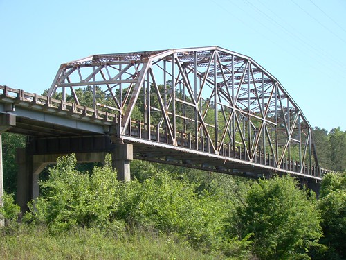
Tar Heel Ferry Road Bridge
geotagged geolat349507842553192 geolon787534057021277
Mark at Cedar Creek
geotagged geolat349507842553192 geolon787534057021277
The S-XP
geotagged geolat349507842553192 geolon787534057021277
Chris getting more miles
blue sky farm wheat northcarolina tobermory wheatfield wavesofgrain ruralsouth bladencounty tobermoryroad
Waves of Grain
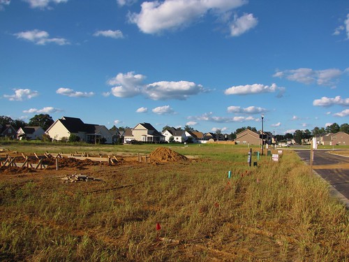
northcarolina bluesky cypresslakes subdivision cumberlandcounty newhomes cumulusclouds grayscreek southeasternnorthcarolina
Progress??
unitedstates northcarolina fayetteville cumberlandcounty
20150517-DSC_6686
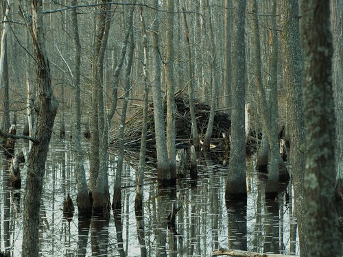
northcarolina beaver swamp mcmillan wetland greensprings beaverpond cumberlandcounty councilroad robesoncounty greenspringsroad johnmcmillanroad
Beaver Lodge
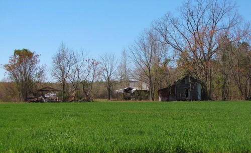
abandoned rural farm empty farming northcarolina dreary forgotten agriculture tobacco tobaccobarn dispair ruralsouth robesoncounty barkertenmileroad
Time Has Passed By
Mark Victor Hanna
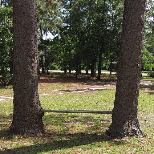
bench stpauls northcarolina oldstageroad robesoncounty longleafpines stpaulspresbyterianchurch
Come, Let's Sit Awhile
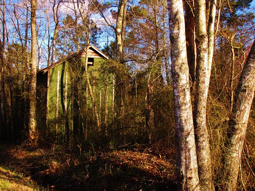
rotting barn decay northcarolina tobaccobarn reclaimed oldbarn ruralsouth bladencounty barninthewoods bladenunionchurchroad
Tobacco Barn in the Woods
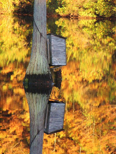
autumn reflection fall mill water leaves outdoors duck pond october northcarolina foliage reflected cypress waterfowl blackwater duckhunting millpond cumberlandcounty jessups woodduckbox northcarolinahighway53 jessupsmillpond
Wood Duck Box
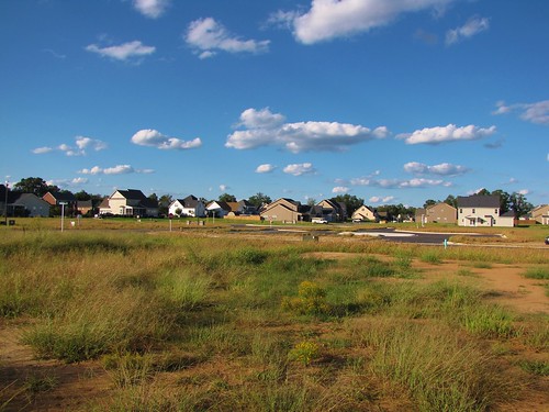
northcarolina bluesky cypresslakes subdivision cumberlandcounty newhomes cumulusclouds grayscreek southeasternnorthcarolina
Progress???
unitedstates northcarolina fayetteville cumberlandcounty
20150517-DSC_6690