Elevation of Biharkeresztes, Hungary
Location: Hungary >
Longitude: 21.7219423
Latitude: 47.1301236
Elevation: 101m / 331feet
Barometric Pressure: 100KPa
Elevation Map:
Satellite Map:
Related Photos:

M62, Biharkeresztes/Hungary, 23 Sept 2006

Körösnagyharsány Hungary

Hajdú-Bihar Rural Landscape

Crisul Repede Hungary

Kőrös_Hungary
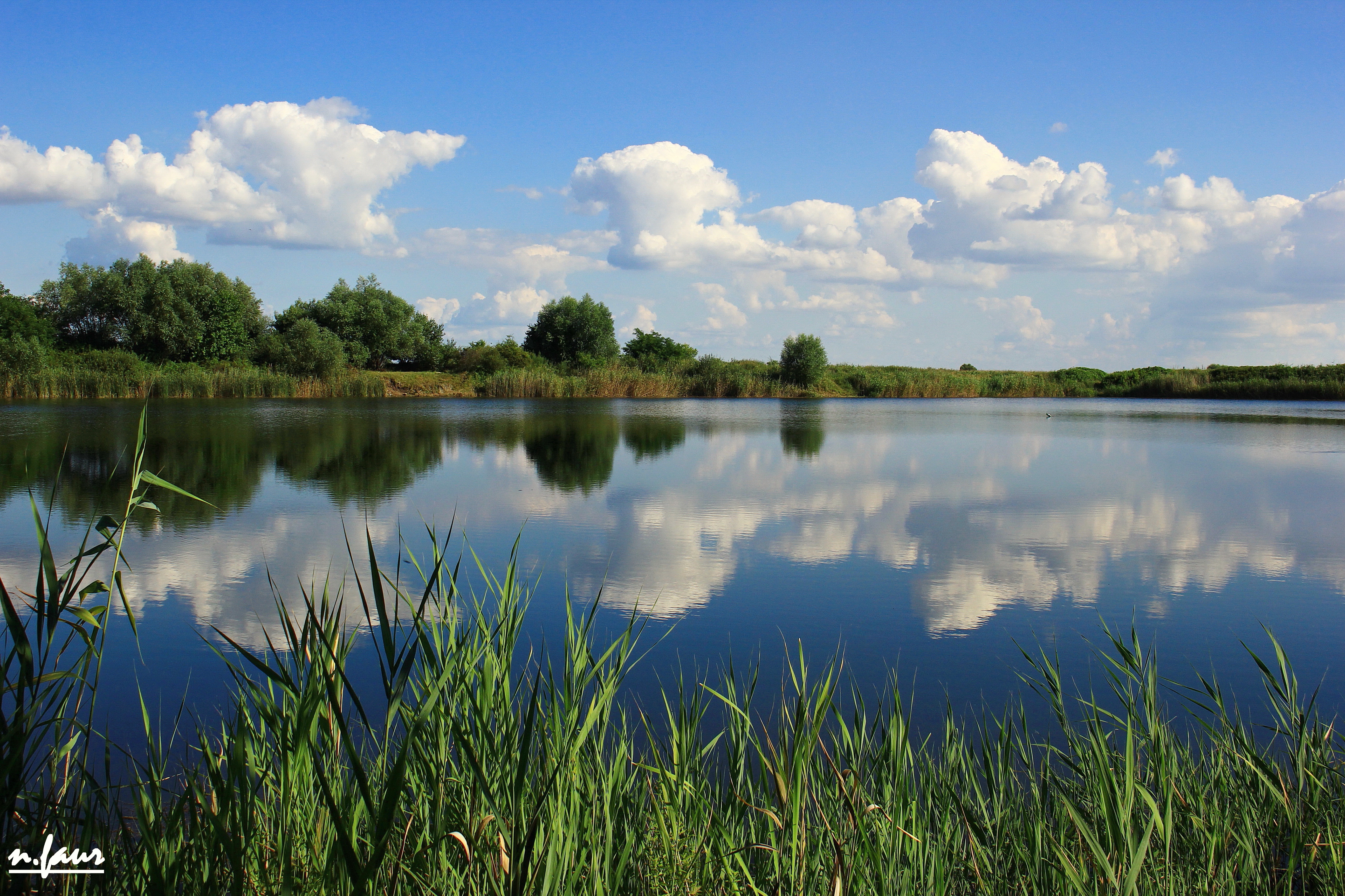
Bors Lake

Aranyló búzamező
Santau Mic

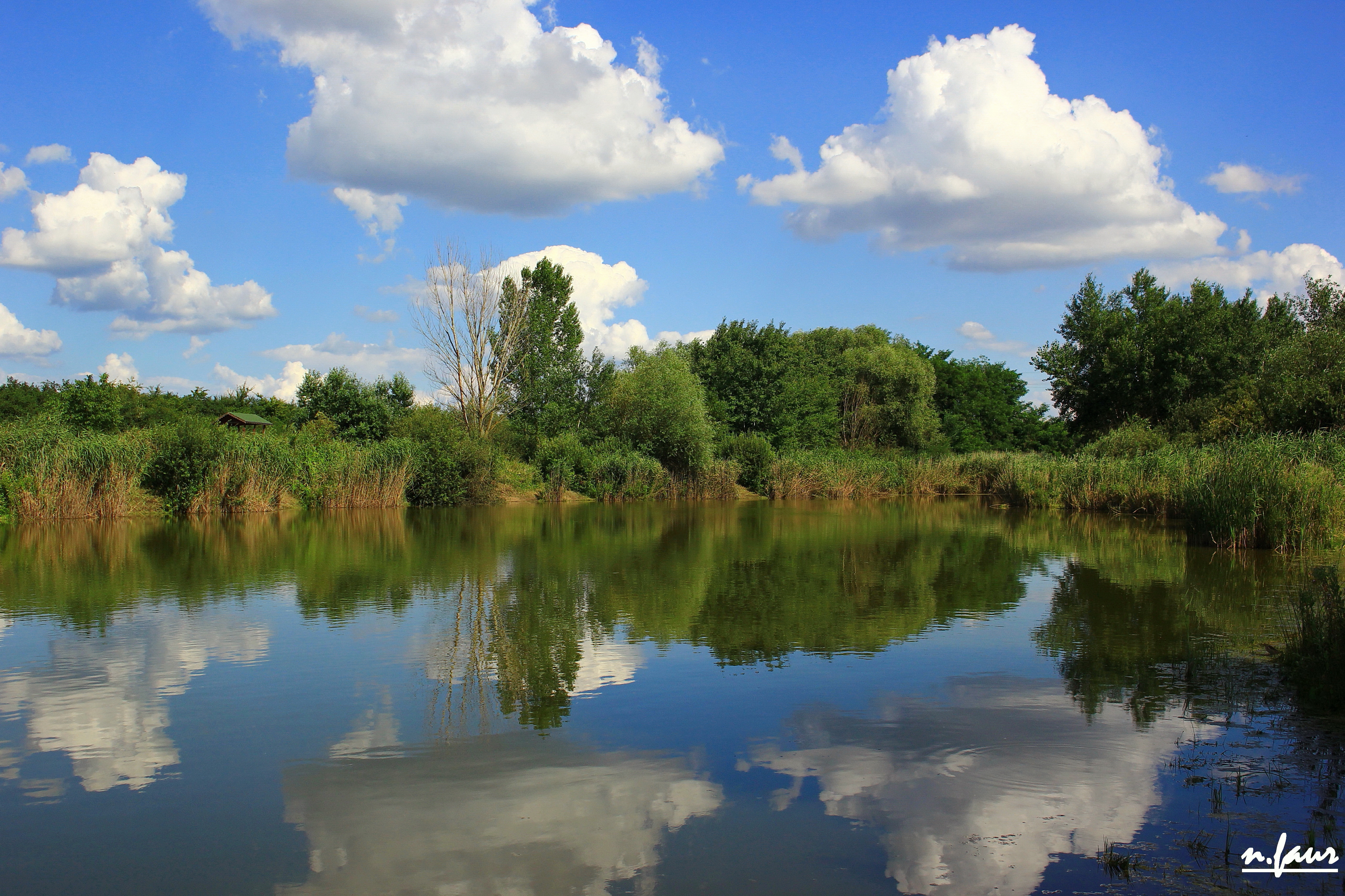
Tóparti naplemente
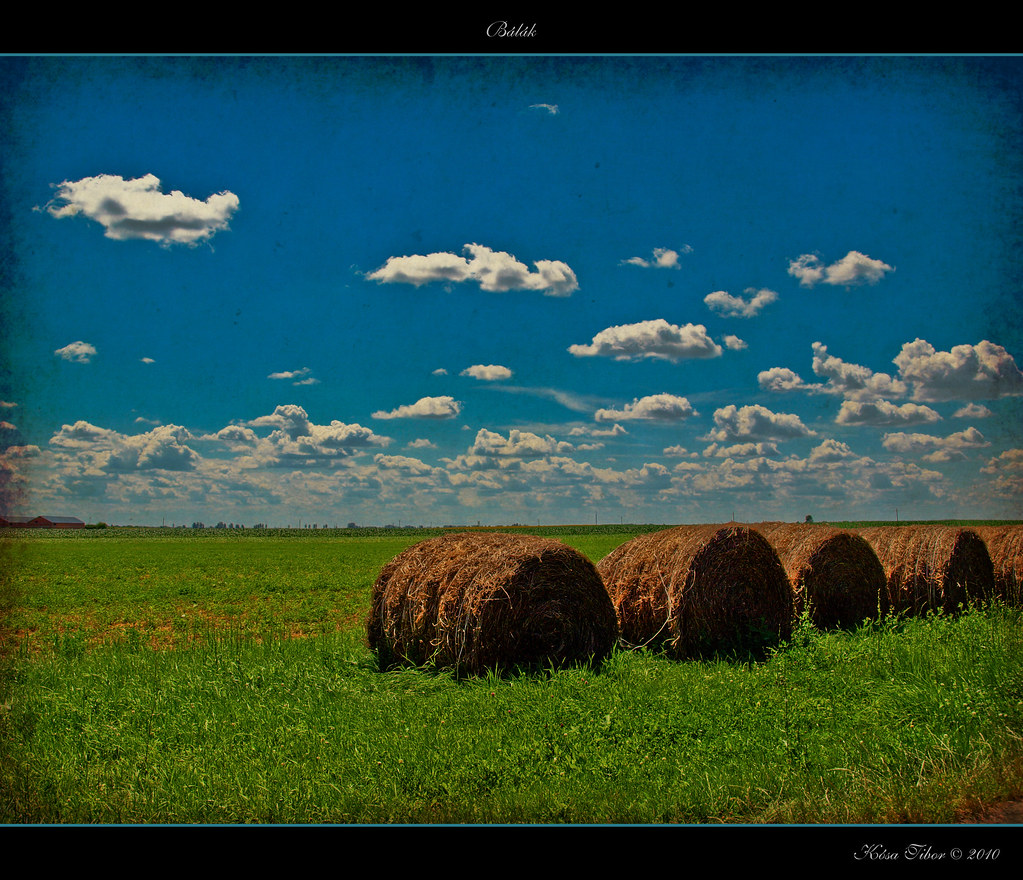
Bálák
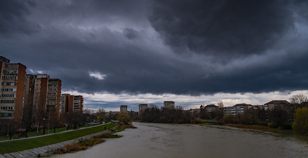
2017-12-15 014
Southeast of Cheresig, Judeţul Bihor, Romania

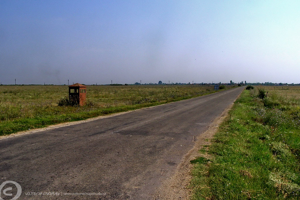
The road to Budapest

Romania landscapes
Topographic Map of Biharkeresztes, Hungary
Find elevation by address:

Places near Biharkeresztes, Hungary:
Nagykereki
Oradea
Oradea
Calea Clujului
Létavértes
Debreceni
Hajdú-bihar
Gyolcsos U. 29
Debrecen
Dózsa György Primary School
Böszörményi út 30
Bihor County
Vésztő
Nyírábrány
Sambata
Rotărești
Püspökladány
Folyás
Recent Searches:
- Elevation of Corso Fratelli Cairoli, 35, Macerata MC, Italy
- Elevation of Tallevast Rd, Sarasota, FL, USA
- Elevation of 4th St E, Sonoma, CA, USA
- Elevation of Black Hollow Rd, Pennsdale, PA, USA
- Elevation of Oakland Ave, Williamsport, PA, USA
- Elevation of Pedrógão Grande, Portugal
- Elevation of Klee Dr, Martinsburg, WV, USA
- Elevation of Via Roma, Pieranica CR, Italy
- Elevation of Tavkvetili Mountain, Georgia
- Elevation of Hartfords Bluff Cir, Mt Pleasant, SC, USA